

Early explorers called the area around Glacier National Park The Crown of the Continent. If we’d have been here first, we’d likely call it something similar. The hiking in Glacier National Park was mind-blowing. The glaciers, and the broad, deep glacial-carved valleys and long, skinny, clear lakes, were unlike any views we’d ever seen before anywhere. And we experienced a new type of adventure – patiently queueing.
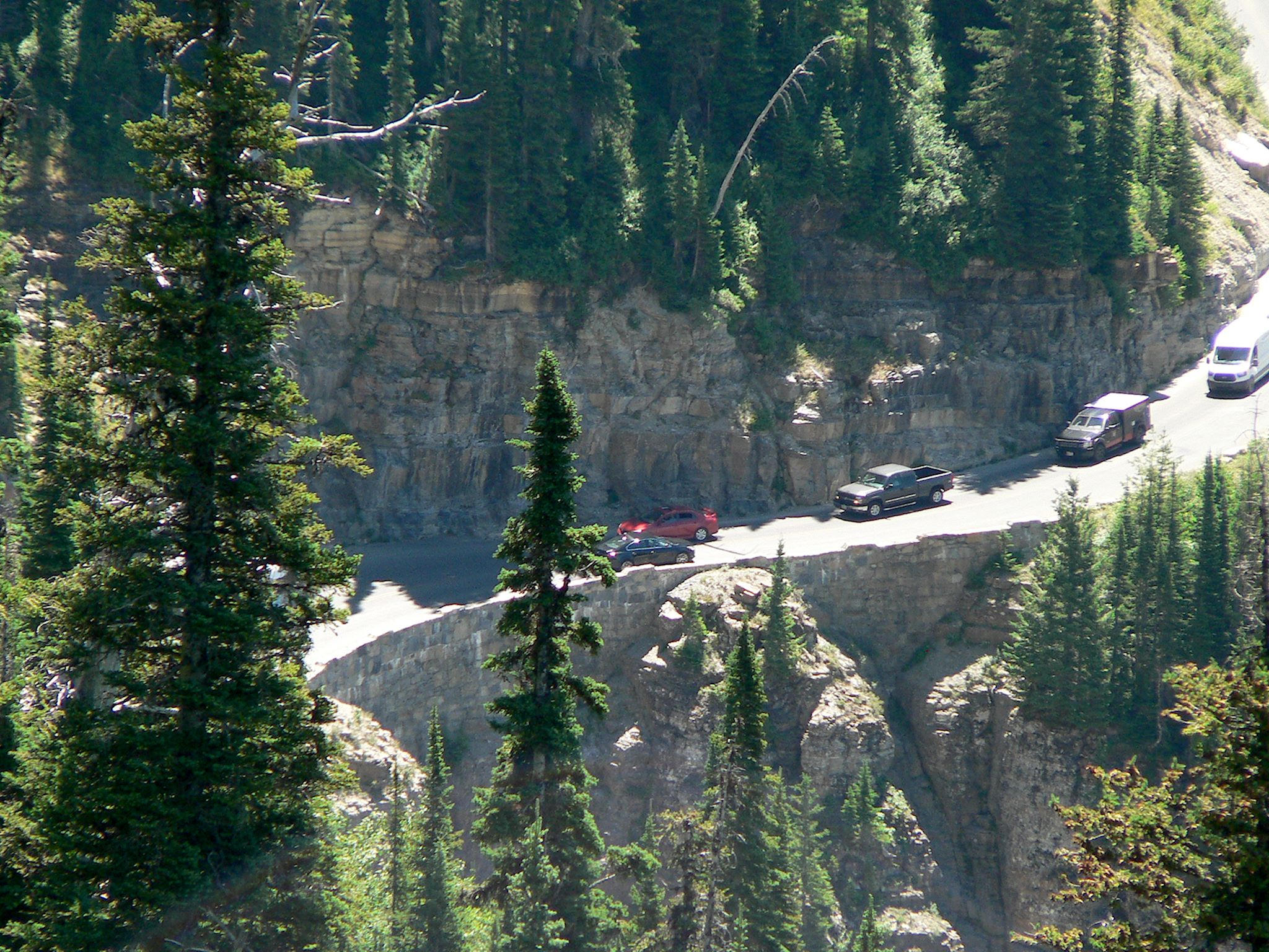
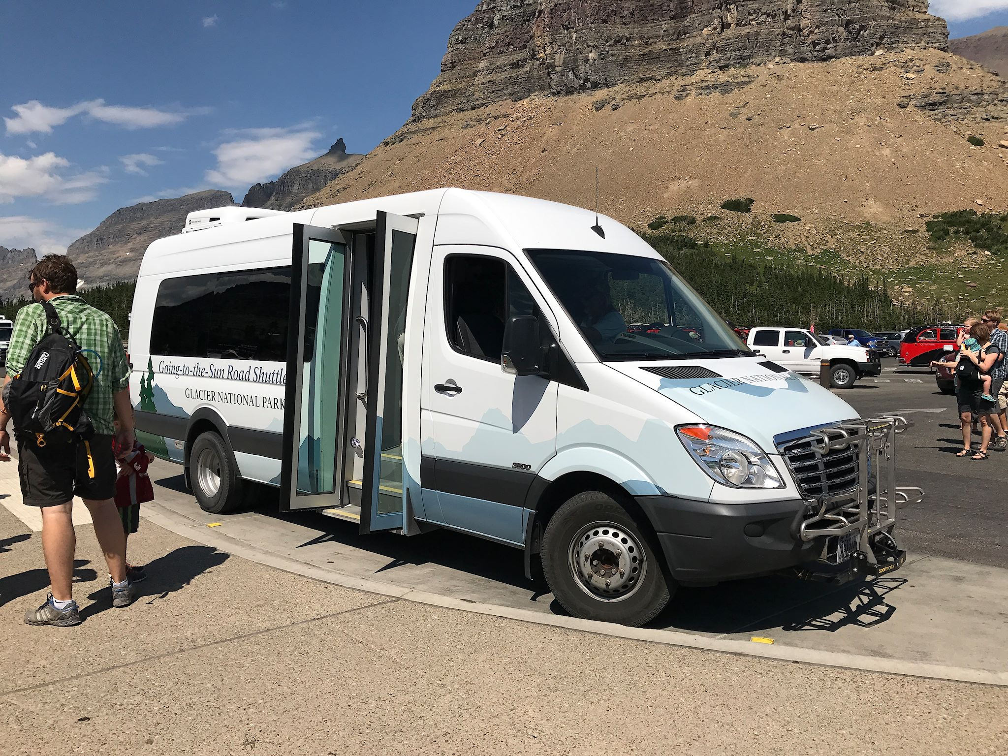
The National Park Service conducted a major go-visit-the-parks campaign in 2016 in coordination with the 100th anniversary of the National Parks. It worked! Unlike the larger parks like Yellowstone, or those with a sizeable town outside the park boundaries like Zion, Glacier is being overwhelmed by visitors and limited in capacity by infrastructure – primarily the incomparable Going to the Sun Road. Engineered in the 1930s, the narrow road – designed for much smaller cars – is in some places carved into or cantilevered from cliffs. Parking lots are relatively small and squeezed into spaces along ledges with steep drop offs or beside rivers with roaring water. Smaller turnouts designed to allow visitors to pause alongside the road to contemplate or photograph the amazing beauty have become unofficial hiker parking, resulting in visitors marveling at the views from the backed up traffic instead. The NPS is working to improve their shuttle bus system to reduce pressure on the roads. Since the largest bus that can get to Logan Pass (the summit of GTSR) carries 15 passengers, waiting 2 hours or more to catch a shuttle ride is not uncommon.
Would we visit again? Absolutely!
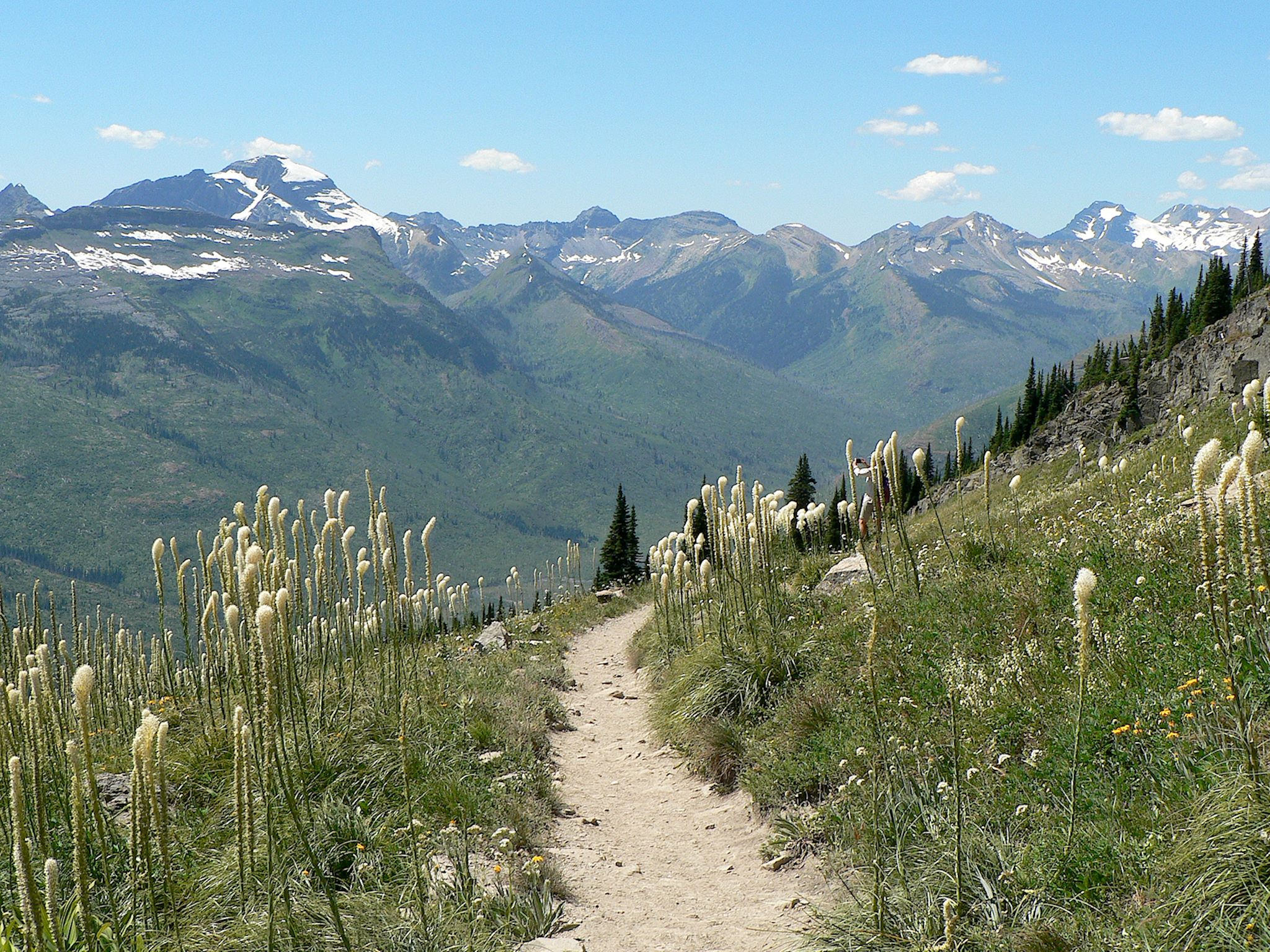
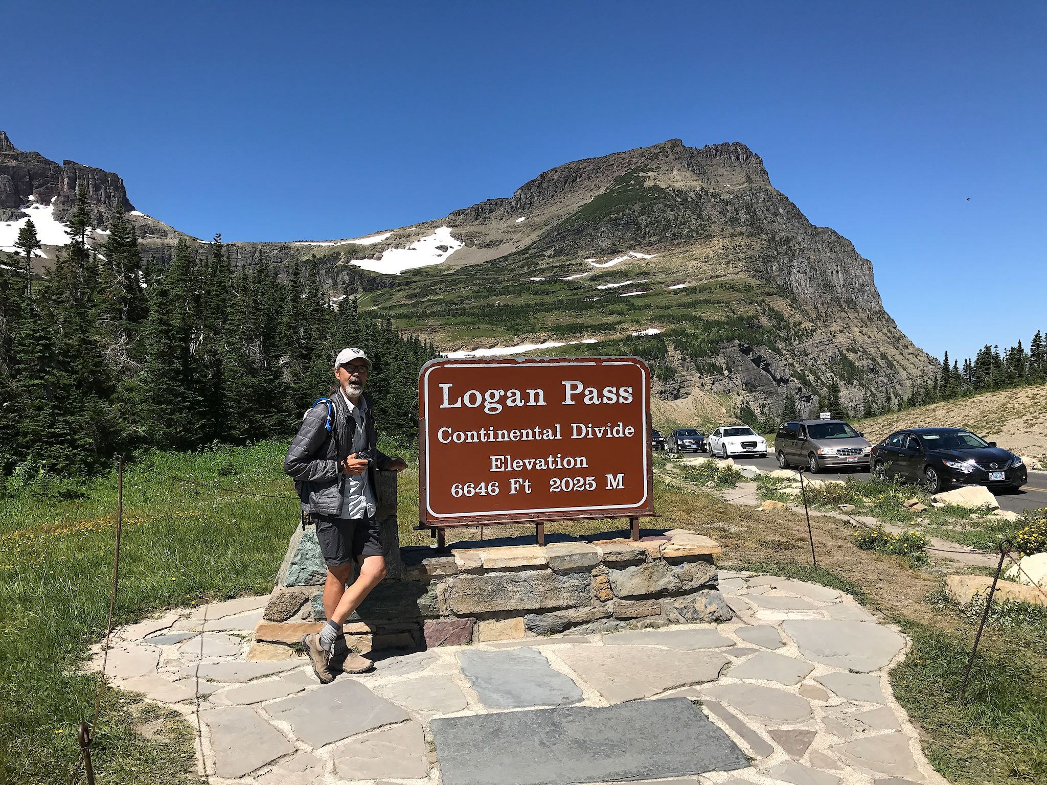
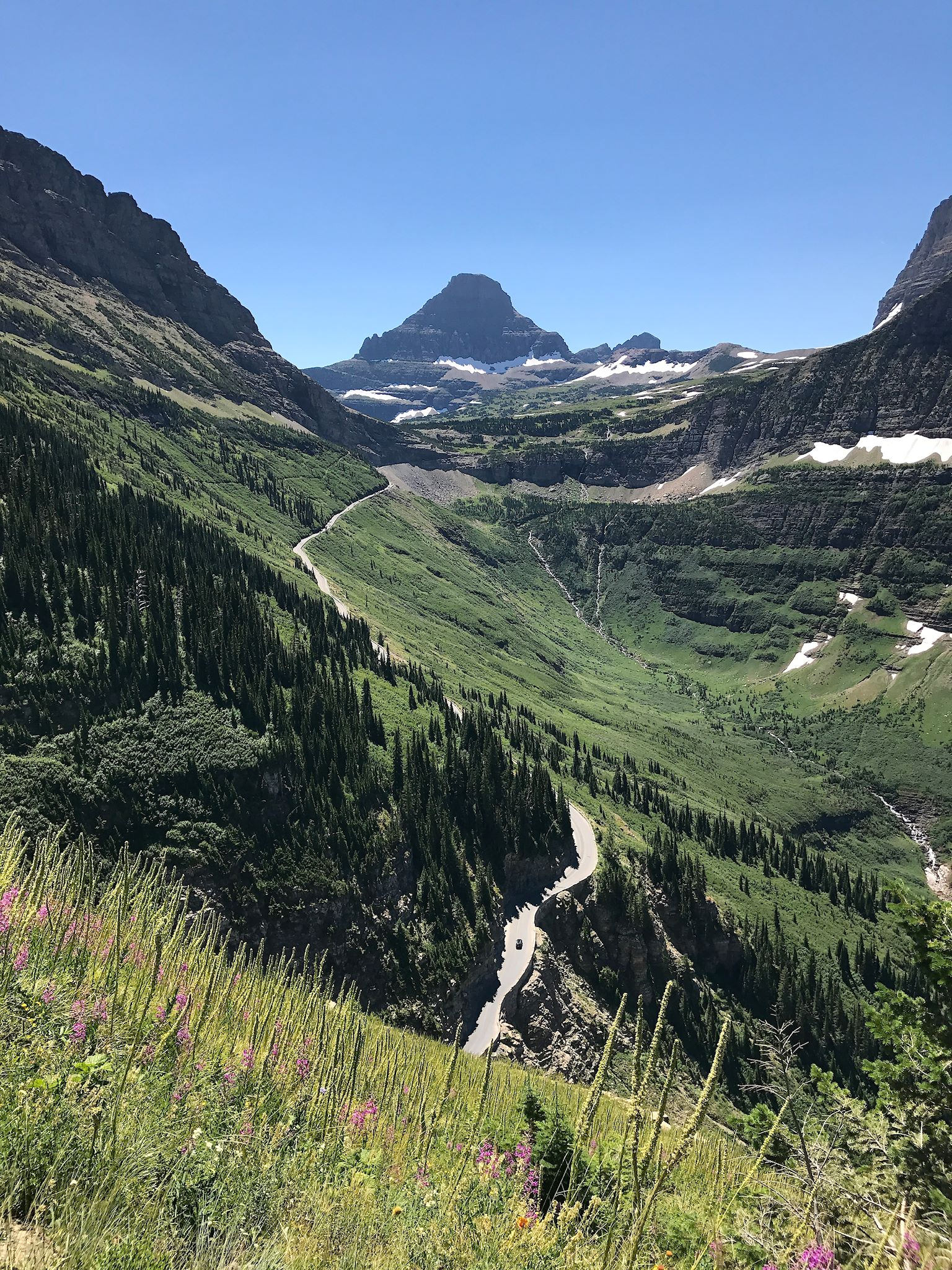
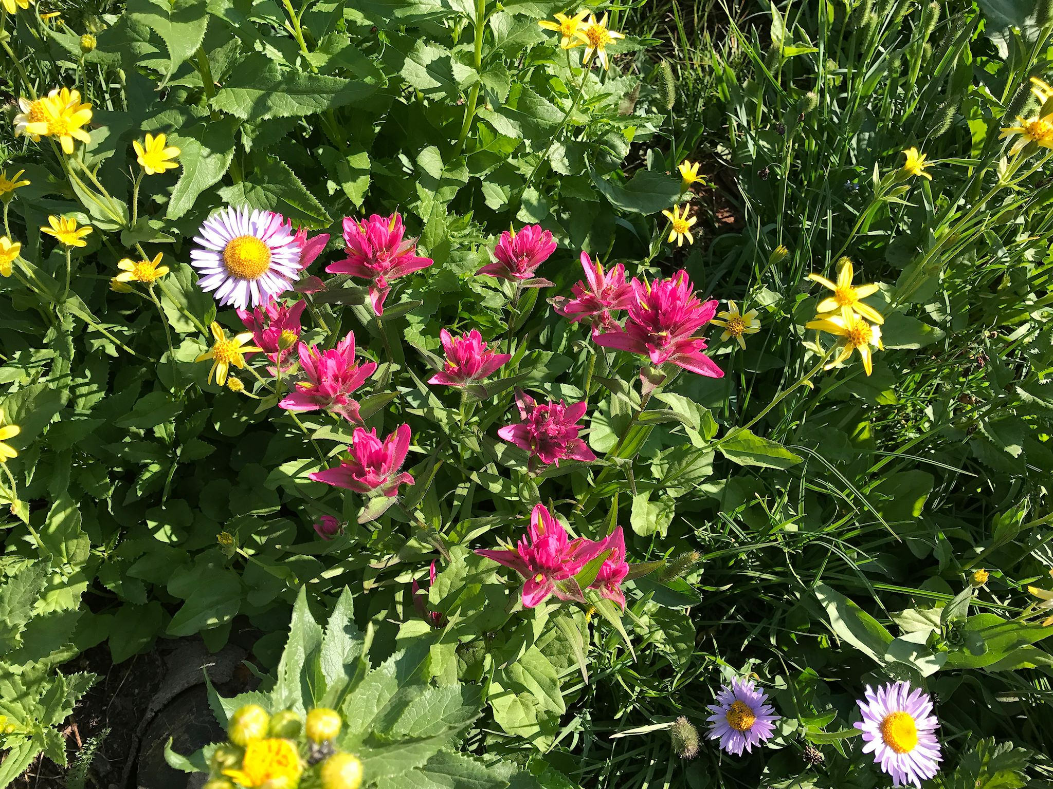
On our first full day in Glacier, we opted to hike the Highline Loop Trail. Starting from Logan Pass, we were immediately greeted by a herd of male bighorn sheep. (We’d seen females and newborns at Flaming Gorge, though we might have called those mediumhorn sheep.) The initial half mile of the trail was a 4- to 6-foot-wide ledge carved into a mountain with a 100-foot drop to the bumper-to-bumper traffic below. There were fabulous views for those who dared to look up! Much of the trail followed along just below the Continental Divide at the base of The Garden Wall – dramatic, 2,000-foot cliffs carved to a knife edge by glaciers, with Mount Gould towering and serving as the central feature. Imagine walking across a meadow of crazy wildflowers, tilted 45 degrees with views of dramatic rocky peaks and vast river valleys.
The trail eventually passed the Granite Chalet, a gorgeous mountain-lodge-turned-hiker-hostel built in 1914 by the railroad to entice tourists to travel to Glacier by rail. As if the in-your-face views of Heavens Peak would not be enough to satisfy us at this point, we spotted a bald eagle soaring against The Garden Wall. Approaching the end, the trail wound down a huge number of switchbacks through an area burned by wildfire in 2003, affording us a peek at forest regeneration with shoulder-high growth after 14 years.

Wow! How will we ever top that hike? How about with Siyeh Pass.
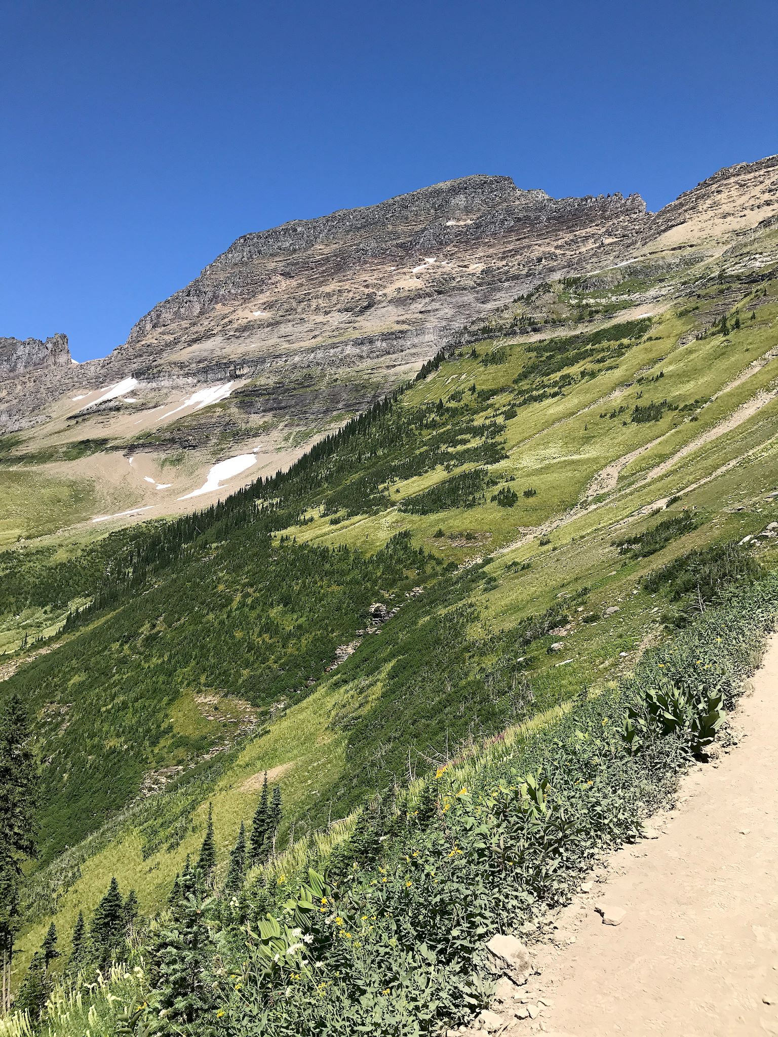
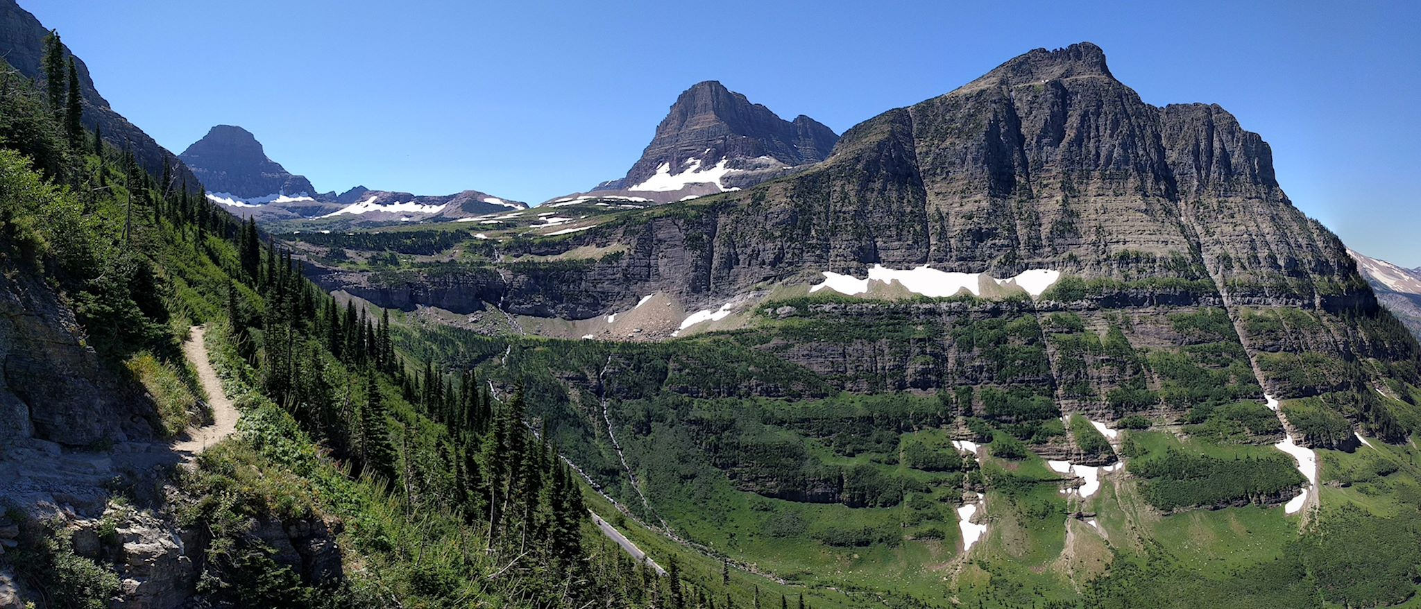
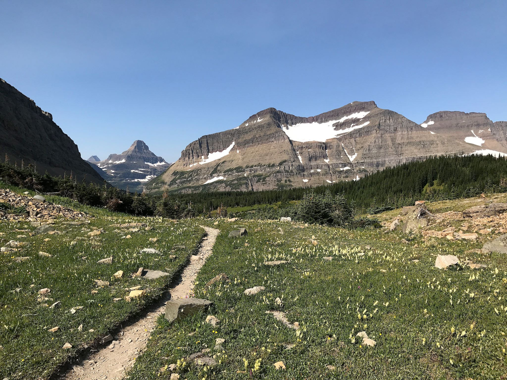
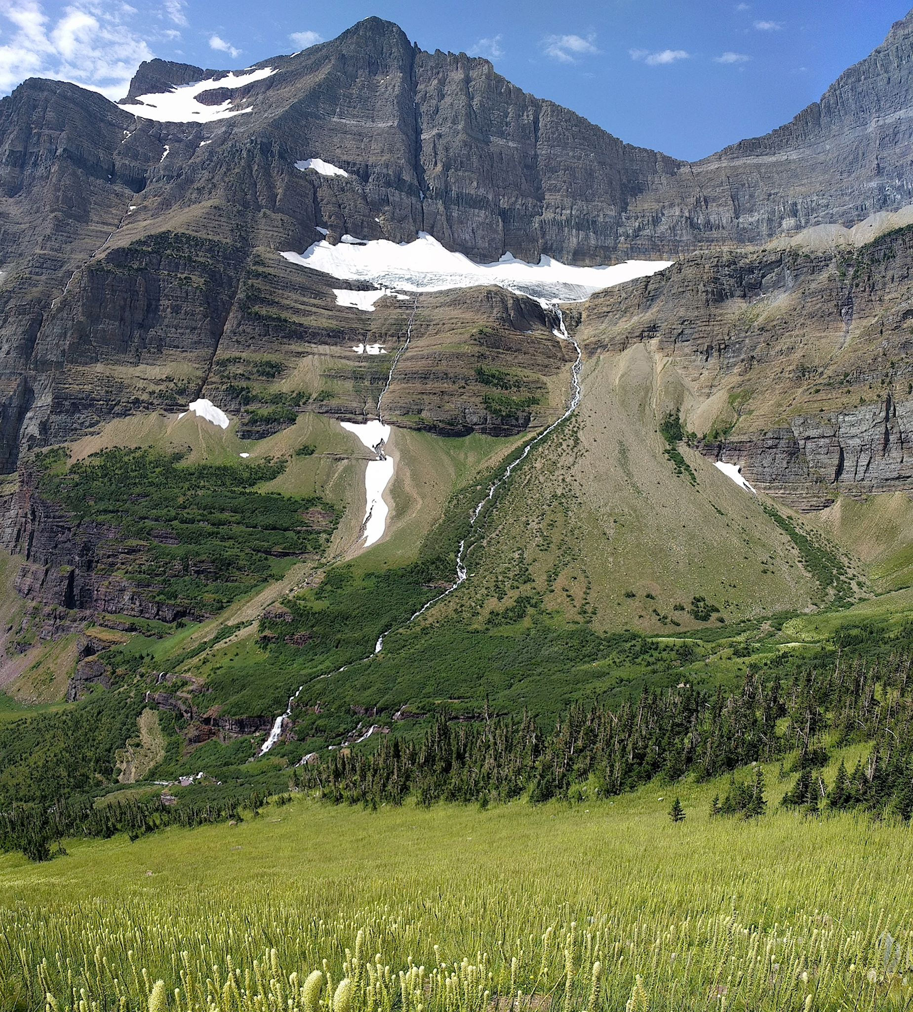
The Siyeh (pronounced Sigh-YAY!, an old Indian name translating to Mad Dog) Pass Trail could easily be the star feature in What-Have-These-Glaciers-Done National Park. The trail starts innocently along the Siyeh Creek, meanders through a pine forest, eventually to a meadow known as Preston Park. A meadow? Ha! The trail winds through a series of high meadows, each larger than the last, each with more different and more colorful wildflowers. Approaching the distant end of the now bowl-shaped meadow, surrounded by the tall, steep Mount Siyeh and Matahpi Peak, the powerful yet artistic work of glaciers becomes obvious. From the top of a series of switchbacks through the scree, we reached Siyeh Pass with views toward the east side of the park, with more carved peaks and glacial lakes everywhere. Also the largest cairn either of us had ever seen. Although he won’t admit it, I did hear Doug squeal a couple of times. And we were only halfway.
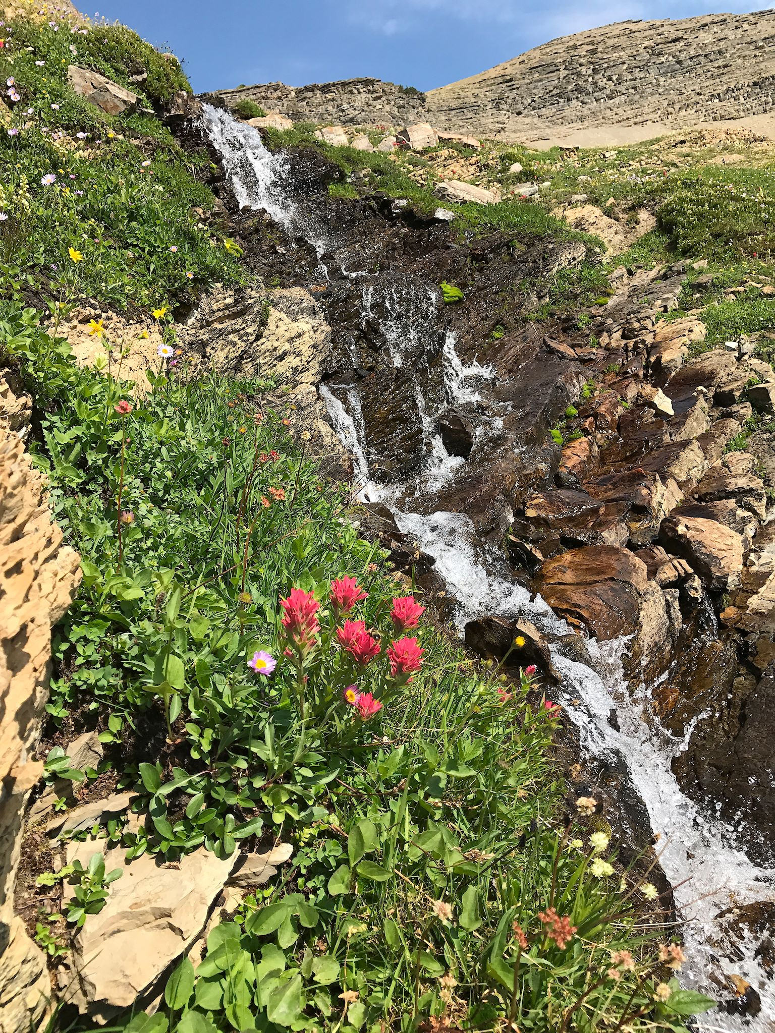
Once over the pass, our return trail was through the Baring Creek Valley, a complete glacial ecosystem packaged into 432 switchbacks and 637 wows. Just below the towering summit of Going to the Sun Mountain, one of the few remaining glaciers melts into multiple thin streams that carve up the steep mountain side and become multiple waterfalls that carve up the bowl-shaped lower walls of the mountain. The streams eventually converge to form the Baring Creek that carves up the bright red rocks of the Sunrift Gorge, a series of waterfalls ending at St. Mary Lake, which eventually flows into the Hudson Bay. We ran into a ranger at the end of the trail, grinning ear to ear. How do we describe this? His response was: You can’t. So, let’s just stop here. Take a look at the pix that just won’t fully show the beauty and emotion. And plan a trip to Glacier. They’ll fix the shuttles.


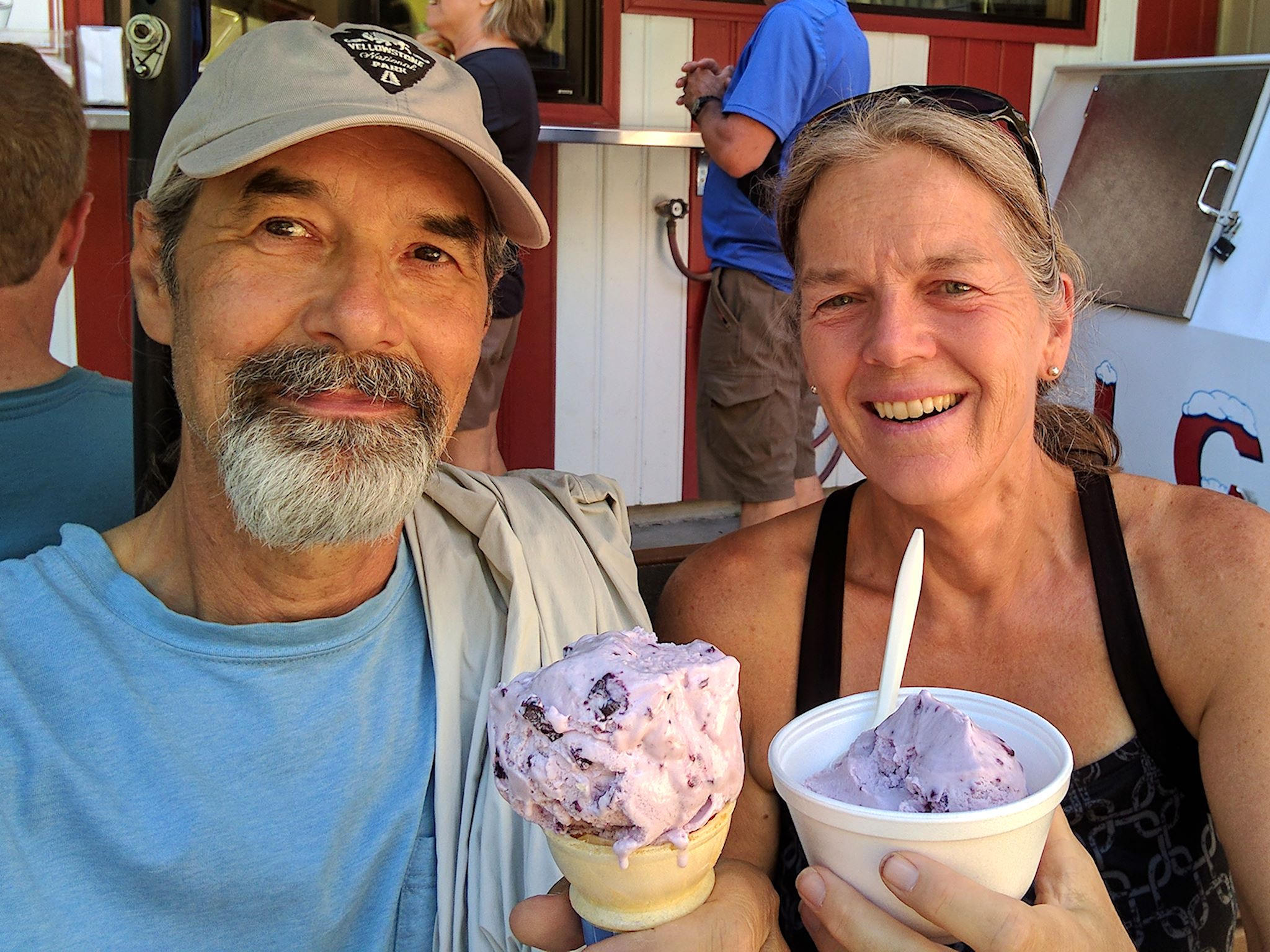
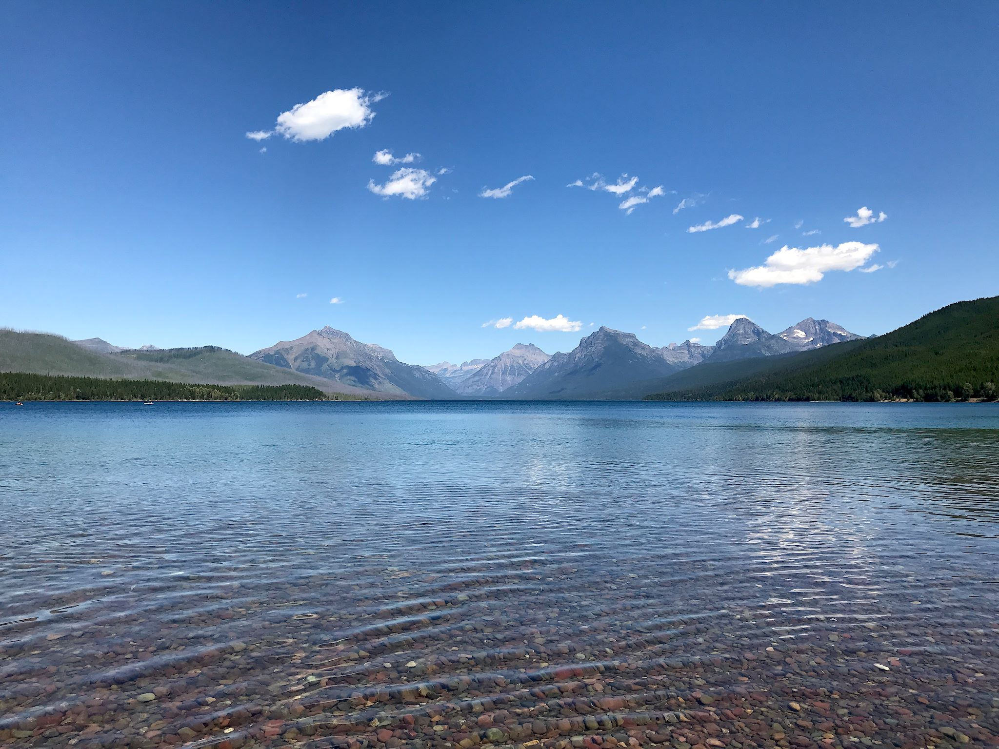
Having extended our stay and eager to hike more and shuttle less, we opted to do the Apgar Overlook Trail, starting an easy bike ride from camp. The trail wound through a (different) 2003 burn area to a peak about 2,000 feet above Lake McDonald with views into and around the park. We also spent time walking around Apgar Village, swimming in Lake McDonald, and generally chilling in a beautiful place. Oh, and did we mention the huckleberry ice cream happy hour…
Glacier is a large park and we focused this visit on exploring the west side. The east side, and more remote areas – North Fork, Two Medicine and Many Glaciers – are calling us. Next visit.
For anyone interested, more Glacier NP, Highline Loop, Siyeh Pass Loop – part 1, Siyeh Pass Loop – part 2, and Apgar Overlook pix…
Wow~Just Wow~
Thanks Barb! Yup, just gotta agree with you…