Newfoundland and Labrador covers a pretty large area. If the province were a state in the US it would be the 4th largest, after Alaska, California and Texas based on landmass. (Based on population, it would be the 2nd smallest, right in between Vermont and Wyoming…). Similar to Alaska, it’s a big space up north with very few roads. What that means is that people touring Newfoundland in RVs often find themselves moving around in cohorts based on which of the 3 ferries they took and when they arrived, and we just keep running into each other over and over again.
As we chatted with people in our northwest Newfoundland cohort (because that’s where we arrived on July 7), they all mentioned plans to visit Fogo Island and Twillingate. Those 2 places were on our list, as well. As we crossed paths and chatted with travelers in other cohorts, heading in the reverse direction, they all said you’ve got to see Fogo Island and Twillingate. Newfoundland and Labrador Route 340, known as the Road to the Isles, heads north from Gander – and so did we.
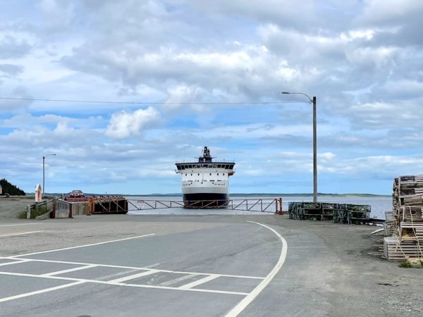
Fogo Island, reachable by ferry from the main island, was the first documented island off Newfoundland, appearing on a map dated 1606. It’s also the largest. Having said that, you can drive from the ferry landing to the furthest point away, passing through the handful (or two, depending on how you count them) of small communities in less than an hour. It’s best known today as a haven for artists. Tourist information refers to it as not a place but a state of mind. Half an hour from the ferry terminal, that vibe was palpable.
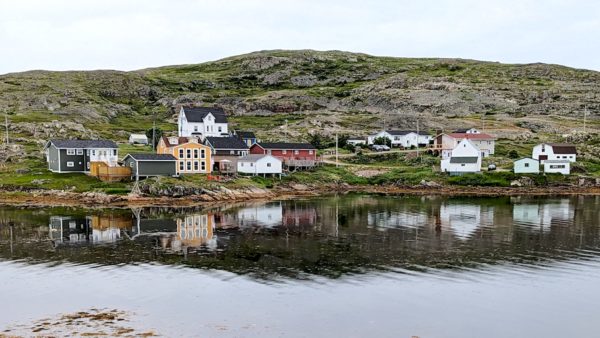
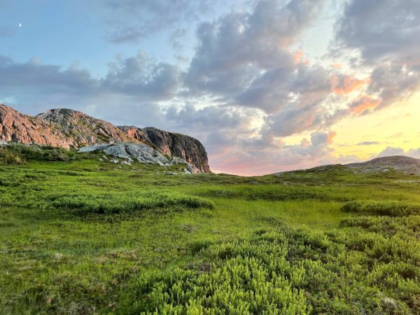
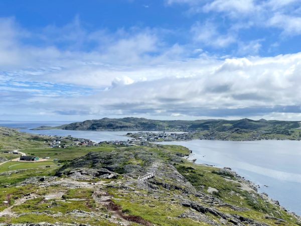
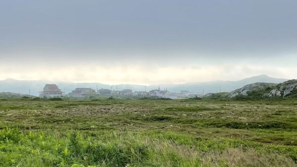
We drove across the island through boreal forest dotted with little blue ponds, finally dropping down a long steep hill into the town of Fogo (pop <800). The setting of the town is stunning. The community business center, several artist studios, 2 churches, colorful houses, and a restaurant or two are arrayed along the shore of Fogo Harbour which is defined and sheltered by peninsular hills or knobs reaching out from town. These are called Lion’s Head, Fogo Head and Brimstone Head. The town’s buildings were built wherever the rocky landscape allowed construction. We walked past the ‘Between a Rock and a Hard Place’ B&B. Really.
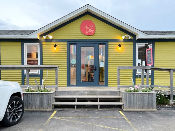
We stayed at the Brimstone Head campground in Fogo, situated between the base of this iconic rock and Back Cove, with a view of icebergs, whales and the setting sun. We could have sat there with our jaws hanging and chilled for 2-3 days. Eventually we got hungry, though, so we picked up our jaws and took a walk to the center of town for a delightful dinner out at a wonderful restaurant called the Bang Belly Bistro.
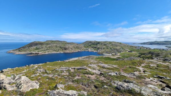
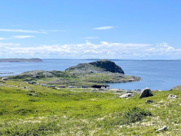
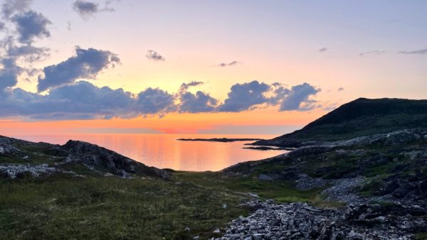
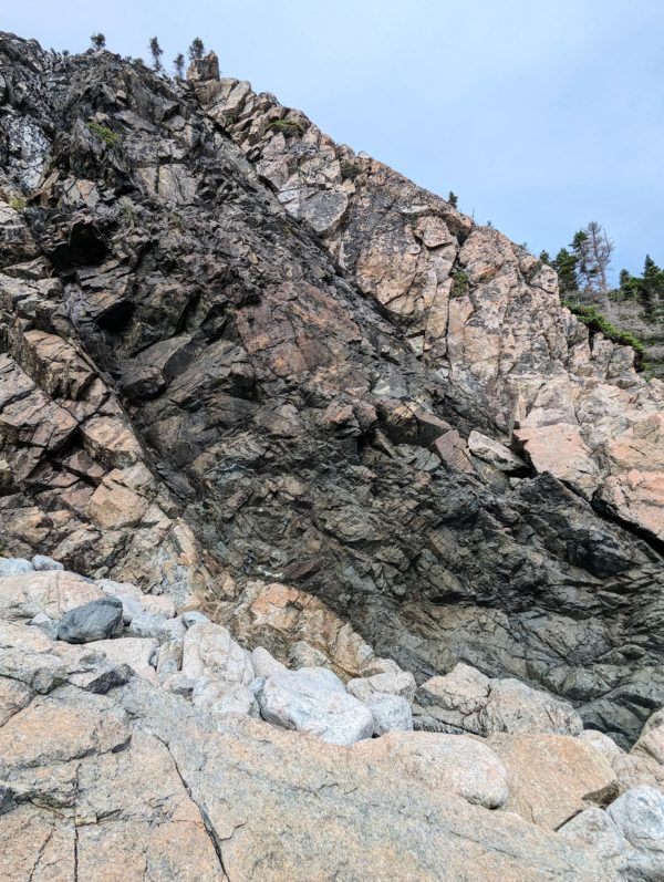
Soon, the local hiking trails were calling us. We initially hiked to the tops of Brimstone Head and Fogo Head. Both provided 360 degree views of the North Atlantic ocean, the town of Fogo, Fogo Harbour, and the northwest shore of Fogo Island. And the rocks! OMG, the beauty of the rugged landscape! Afterward, there was no pressure to do anything else except chill back at camp, play some music and photograph the gorgeous sunset. After all, this is an artists’ haven and these are our chosen arts.
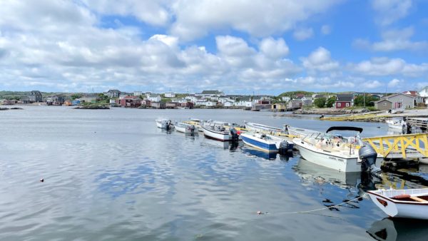
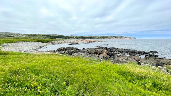
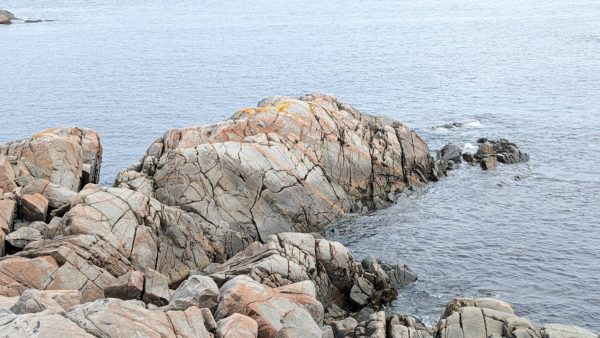
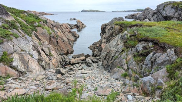
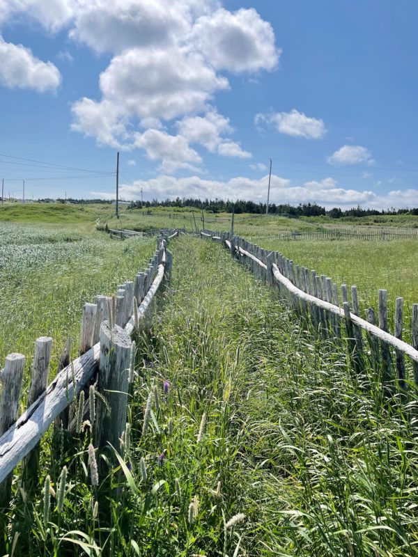
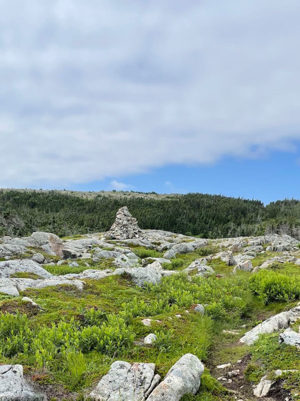
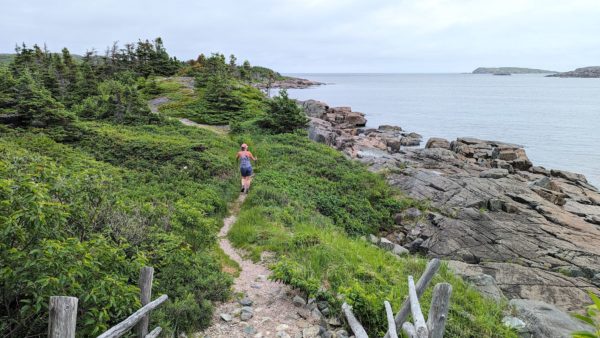
We drove through the remainder of the small communities on our way to Tilting (pop <300), another pretty town with great hiking along the rocky coast. Turpin’s Trail delivered! It started from a rare sandy beach (everything else around here is rock…) through tall grasses protected by sheep fences, quickly turning into a path along the rocky point to a height of land with immense views of Sandy Cove and town. We got off the trail for a bit to explore the quiet town and then, back on the trail, followed it along the edge of Sandy Cove Point, jutting out into the North Atlantic with a number of smaller, named coves and beaches, a barren rock garden, bright green bogs, and back to the sandy beach.
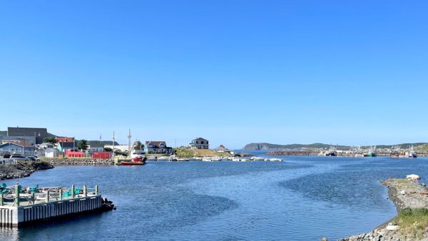
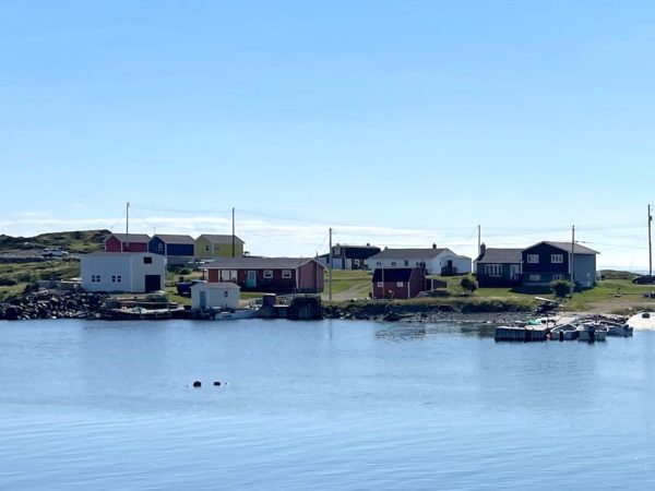
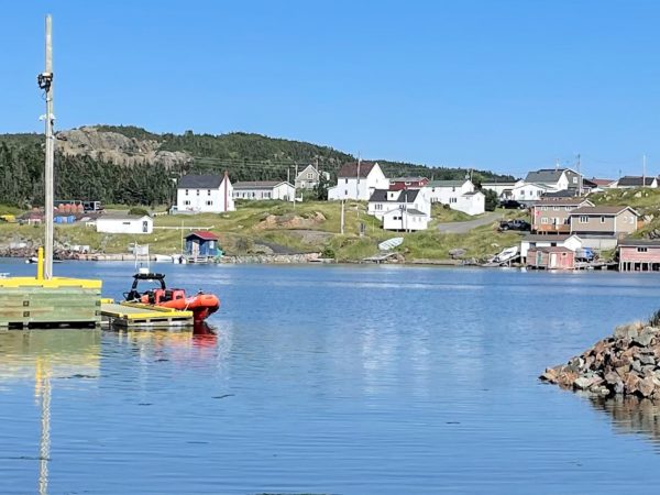
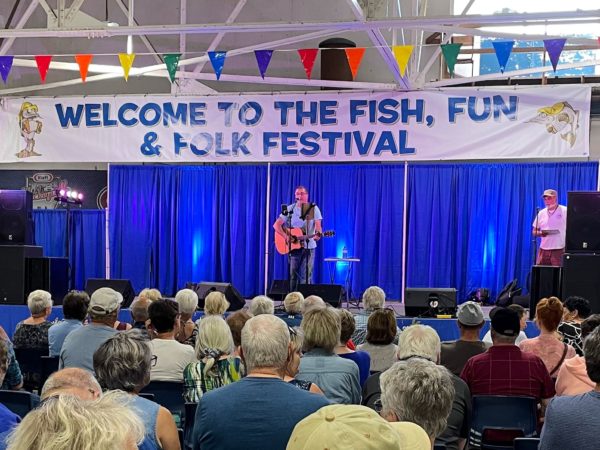
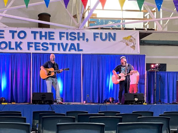
We were the last RV that squeezed on to the first-come/first-served morning ferry returning from Fogo to the main island. Yay! From the ferry terminal, we headed north over at least 3 causeways and a bridge to get to the island and town of Twillingate (no ferry necessary). The smaller island’s population of 2,400 was 4 times that of Fogo Island, and of course it’s much easier to reach, so Twillingate also has more of a busy tourist vibe with lots of people wandering through shops and side streets and along the harbor, enjoying the restaurants and small pubs. We arrived during Twillingate’s annual Fish, Fun and Folk Festival.
The Festival had a little something for everyone – movies, kid events, fish themed events, street dances, local crafts, food and… music! There is a distinct style to this area’s traditional folk music, with a Celtic influence and seafaring themes. We got to see singer/songwriter Peter Jacobs using his incredible vocal range in a variety of original songs that drew from a familiar country foundation, blending with a bit of Newfoundland and Labrador style to full-on traditional style jigs and shanties. Later we heard Mike Jenkins, whose voice reminded us of Willie Nelson, except without a southern drawl and with an occasional hint of Gordon Lightfoot, and Jordan Harnum who melds contemporary folk, Celtic and traditional Newfoundland styles and sounds. These two played a set together featuring a nice mix of original tunes and a few well chosen covers, fine vocal harmonies and their acoustic guitars, then Jordan closed the show with a very enjoyable solo set, including his song ‘On The Labrador.’
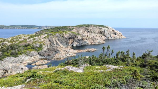
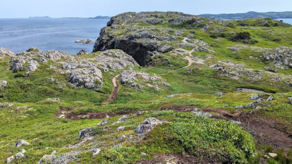
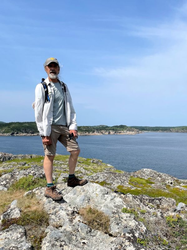
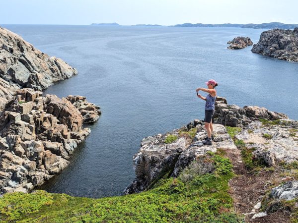
Along with the festival, we found a huge number of hiking trails in and around town! Based on trail descriptions we narrowed our choices down to 2, and headed for the one that looked like it had the best parking lot for our RV (a large consideration in a small, busy town) – and that was the Little Harbour Trail.
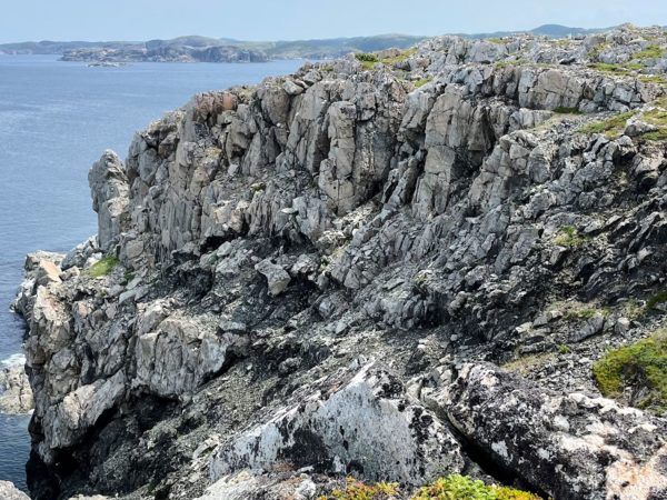
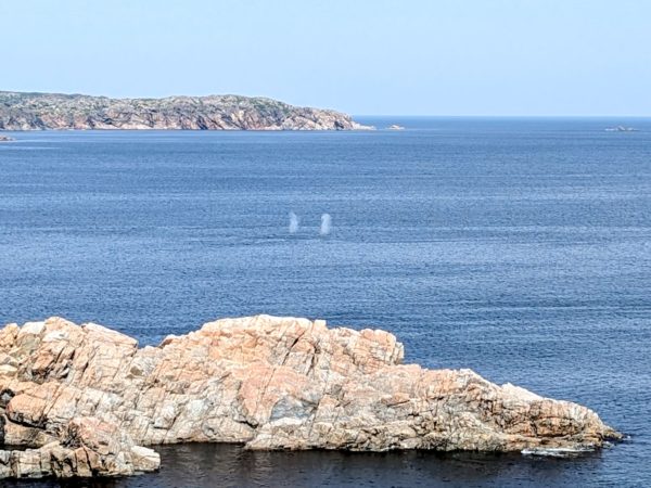
Nailed it! The hike started along Little Harbour with a view of current homes on the shore and remains of long gone homes from the past. We quickly climbed 2 small knolls with gorgeous views of Little Harbour and beyond – and this was just the warm up. Back on shore, we climbed a long, long stairway up, eventually finding ourselves on a trail that rolls over the rocky terrain alongside the edges of cliffs with wide open views. We stopped for lunch at the height of land and intermittently heard some odd snorting sounds. Following the noise, we were treated to whales rising and spouting in the bay off in the distance. We laughed and lamented at how easy it was to spot the whales, yet impossible to photograph them from so far away. We’ll just have to enjoy the moment and remember our private lunch with the whales.
Maybe 5 minutes later, the trail along the cliffs started the turn toward Jonas beach when we heard a familiar sound, only much louder this time. And there they were! Whales! About a dozen of them altogether, in two groups. Right. In. Our. Faces. Just enjoy the moment… Wait, where’s my phone! We need pix! We chuckled and watched them like before, but we did manage to get a few images. They roll around in the water, at times seemingly in a contest for loudest blow hole noises, and look like they’re having so much fun, with a flip of the tail as they descend. We again enjoyed our private time with the whales.
As we were slowly driving out of town, we realized there was not one spot in Twillingate where you could stand and not see the ocean. Wow. Such a beautiful setting!
For anyone who’s interested, more Fogo ferry, Fogo town, Brimstone Head, Fogo Head, Tilting, Turpin’s Trail, Twillingate and Little Harbour pix…

Fogo, what a very cool place! Great pics, great story telling. Glad to tag along on your adventures. Cheers M&P
Great to hear from you, Milo & Patti! Yes, Fogo was super chill – wonderful place to stay and visit for a few days. We’re looking forward to hearing about your travels…