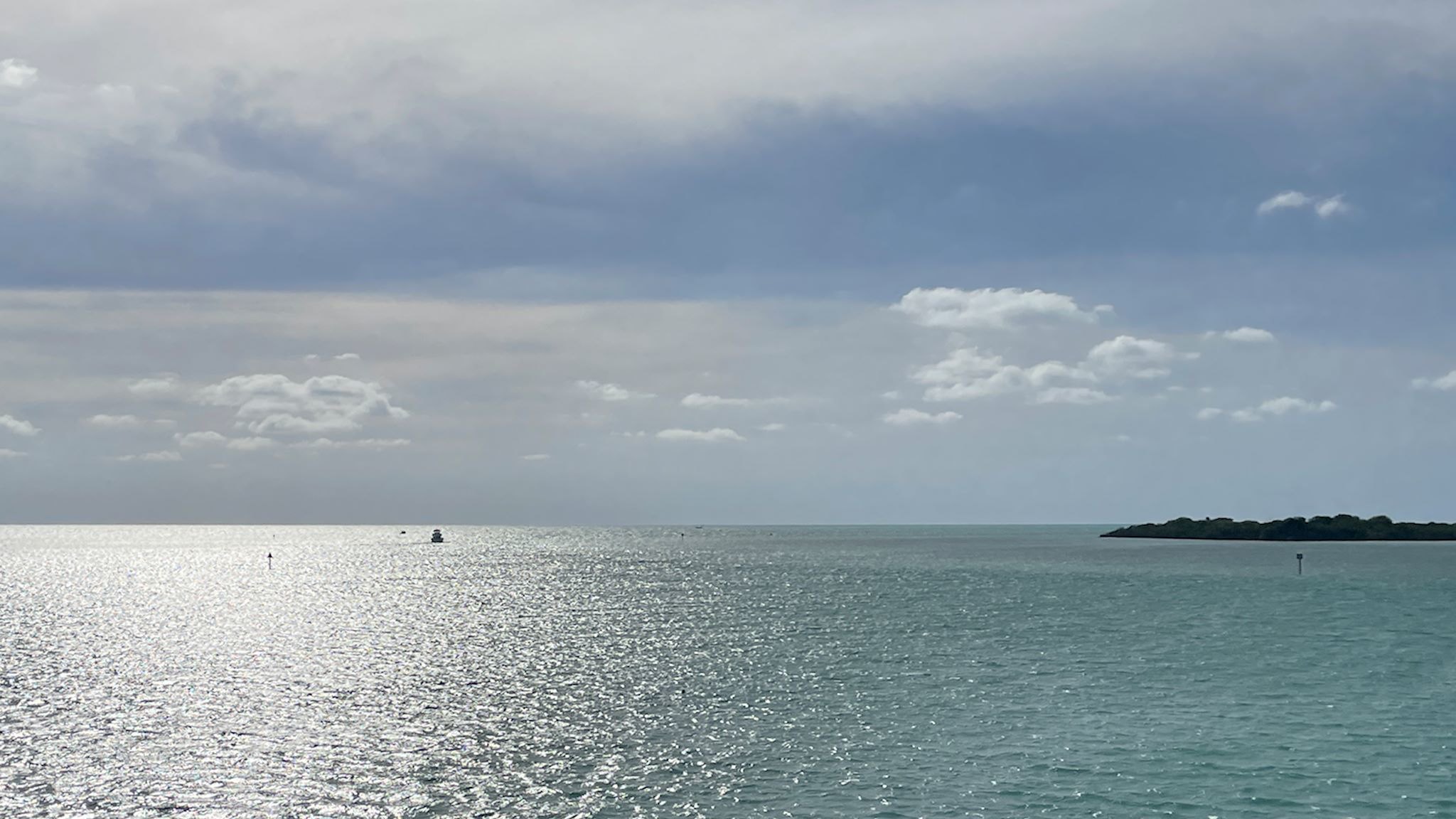
Labrador 510 – Trans-Labrador Highway, part 2

Battle Harbour

The road to connect the settlements and resources of western and coastal Labrador – the Trans-Labrador Highway – had been in the works since the early 80’s. Dirt roads and walking trails between settlements were widened into gravel roads in sections, then paved as demand and budgets allowed. The last remaining section of gravel was paved in July, 2022 – and the road was complete!

Continue reading “Labrador 510 – Trans-Labrador Highway, part 2”

Labrador 500 – Trans-Labrador Highway, part 1

Grand Lake from Sunday Hill, North West River, NL

The history of Newfoundland and Labrador is long and colorful. Here’s the super condensed version…. The earliest known inhabitants were Inuit (hunters of sub-arctic sea mammals, like whales), Innu (caribou hunters) and Mi’kmaq (seafood harvesters in the summer and forest hunters in the winter). The earliest European settlers are thought to have been Vikings, just after 1000 AD. Starting in the early 15oo’s, explorers from France, Spain, Portugal, Ireland, and England began to visit. Eventually, these folks came to be in conflict with each other and the original inhabitants in their efforts to claim portions of the newly found land in order to control resources. Perhaps the most immediately obvious of these resources was an insane abundance of great fishing. Over the centuries since, additional resources of interest have been identified all over this vast area and have included furs, forests, minerals (iron ore), and hydropower.

Continue reading “Labrador 500 – Trans-Labrador Highway, part 1”

Quebec 389

Quebec 389 is described as dangerous by public safety organizations, beautiful by tourism publications, and remote by both. It is unquestionably remote, winding its way through the boreal forest 547 km/340 miles from Baie Comeau on the St Lawrence River, past a series of ‘Manic’ dams owned by Hydro-Quebec (Manic-1 through Manic-5, all named after Lake Manicoualan which they hold back) and multiple open pit mines on the way to Fermont (French for Iron Mountain). There are 2 tiny settlements and 3 fuel stations along the way. There’s cell coverage at the fuel stations. For safety, there are 10 good, old-fashioned telephone booths spread out along the road (more than remain in the entire state of Vermont) for anyone who’s stranded. It’s the only road north from the Côte Nord/North Coast of Quebec and, once connected to the Trans-Labrador Highway, allowed for overland passage to the coast of Labrador. But that’s getting ahead of ourselves.

Continue reading “Quebec 389”

Great Smoky Mountains National Park

Twilight over the Tennessee side of Great Smoky Mountains

Asked which is the most visited National Park in the country, most people would think it must be Yellowstone or Yosemite or some of the other large parks in the west. Nope! Great Smoky Mountains National Park takes the top spot. Its location – within a day’s drive of half the US population – and its incredible beauty attracted 14 million people in 2021. (Zion with 5 million and Yellowstone with 4.9 rounded out the top 3.)

GSMNP is a wide area in the Appalachian Mountains that spans the North Carolina and Tennessee border with a seemingly endless series of forested mountain ridges. The natural vegetation in the area releases organic compounds with a bluish tint that mix with the natural morning fog to create a blue-tinged, smoky appearance – hence the name. The park is well known for its views and waterfalls, its elk herd, and its hiking. Hiking!

Continue reading “Great Smoky Mountains National Park”

The I-5 – Friends and family

The view along I-5 near Yreka, CA

Alaskans and Canadians have it all over the lower 48 with highway names…

As we adjusted our route back to Vermont from BC to include a stop near San Francisco (more on that in an upcoming post), we had an opportunity for a few visits along the beautiful (but unimaginatively named) I-5 corridor.

Continue reading “The I-5 – Friends and family”

The Sea to Sky Highway

Welcome to Whistler!

South of Williams Lake, we needed to choose among four routes heading further south through the mountains of southern BC. Though all four promised amazing views and mountains and crazy roads and funky towns, we could explore only one. We’re at that time in this year’s trip where we need to think about weather and getting back to Vermont before it snows (too much…)

Based purely on sentimental reasons, we decided on the Sea to Sky Highway. We’d drive it just for the name! As hard core skiers, it would be enough that this highway passes by Whistler-Blackcomb, the largest ski resort in North America, rated one of the top ski areas consistently since the 1990’s. It was also the site of one of the infamous annual ski trips of our early adulthood with friends Pat, Geoff, Harry and Karen. That was in 1997…

Continue reading “The Sea to Sky Highway”

The Cassiar and Yellowhead Highways

Cassiar Highway south…

There are only two roads through British Columbia that will get you to or from Alaska – the Alaska Highway and the Cassiar/Yellowhead Highways. We came north on the first one, so we headed south on the Cassiar.

The Cassiar Highway is a relatively remote, 725-km (450-mile), paved, narrow, two-lane road through the Cassiar Mountains connecting Watson Lake (pop 1600) to Kitwanga (pop 400). The road mostly follows the river valleys and we were always within view of lakes and mountains of various shapes and sizes. Still, there were hints everywhere that there was more we weren’t seeing… occasional, brief glimpses between the trees of high, snow-covered peaks and avalanche signs everywhere. Also, heli-ski operations in settlements like Bell II (pop a handful plus seasonals) and a brochure for Provincial Parks with glorious mountain photos and instructions for how to access them, by air. Hmmmm…

Nonetheless, we found the drive to be quite pretty, imagined what we couldn’t see from where we were, and enjoyed a few remote campsites near lakes and rivers with great mountain views.

And then, there were the surprises…

Continue reading “The Cassiar and Yellowhead Highways”

The Klondike Highway

Bennett Lake, source of the Yukon River

Most people have heard of the Klondike and Klondike Gold Rush, even if only through watching Klondike Kat on Sunday mornings as kids. (Savoir-Faire is everywhere!) The Klondike was indeed a productive gold mining area in Western Canada near the Alaska border during 1896-1898. We suspect most people don’t know the Klondike Gold Rush was a group of about 100,000 prospective miners (aka prospectors) hoping to strike it rich, fueled by a recession in the lower 48 with high unemployment along with a spate of exaggerated claims and advertising fueled by the boom towns benefiting from the influx of outsiders buying passage, food and supplies. The prospectors bought passage on ships from Seattle and San Francisco to Skagway/Dyea (pop then 30,000), hiked over Wright Pass, then built boats to navigate down the Yukon River to Whitehorse where they boarded steamships to Dawson City (pop then 40,000). After their year of travel, they arrived to find no more gold claims were available. About 30,000 prospectors made it to Dawson City. Some turned around and went back home while others moved on to other gold fever boom towns in Alaska.

Although Alaska and western Canada share a rich (pun intended) gold mining history, the Klondike slice of it is fascinating and widely celebrated in this part of the world. We got to drive the overland part of the gold rush route in reverse, from Dawson City to Whitehorse to Skagway, on the Klondike Highway.

Continue reading “The Klondike Highway”

The Dempster and Inuvik-Tuktoyaktuk Highways

Sunset over the Arctic Ocean

You might be thinking by now that we have a perverse infatuation with dead-end roads to out-of-the-way places. Ok, maybe we do a little – and we’ve been to some outrageously cool end-of-the-road spots – and sometimes there’s more to it than that. While at the Folk on the Rocks Festival last year in Yellowknife, we chatted with some folks living there who came originally from Inuvik. They loved the town, and they also told us that the Mackenzie Delta was the most beautiful place on earth. That was certainly enough for us to put it on our list.

So, who’s ready to hear about another 1600-km (1000-mile) road trip on a mostly great dirt road that totally rocked? It’s actually quite different from the last one. True, Alaska’s Dalton Highway – which we drove in June – and the Yukon/Northwest Territories’ Dempster Highway both provide overland access north of the Arctic Circle. They both involve about 1600 km (1000 mi) of unpaved roads through the wilderness with spectacular wildlife, and they are both the northernmost roads in their respective countries as well as the first (Dalton) and second (Dempster) northernmost roads in North America. They’re both legendary for broken windshields, flat tires and, oh, yes, you could die. Other than that, everything was different.

Continue reading “The Dempster and Inuvik-Tuktoyaktuk Highways”

Taylor and Top of the World Highways

Top of the World Highway

If you are driving into or out of interior Alaska, you have go through the town of Tok. Ah, but there are two roads that head east from Tok. We came in on one of them, the Alaska Highway. We had the option of driving out on a road called the Top of the World Highway.

Any questions?

Continue reading “Taylor and Top of the World Highways”