Kejimkujik National Park

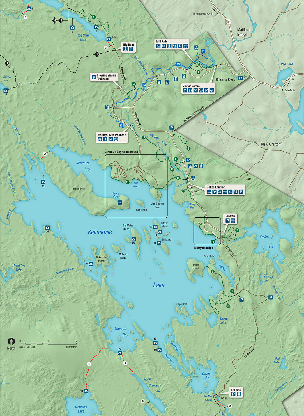
Kejimkujik NP and Lake – it’s all about the paddling…

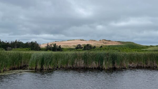
Kejimkujik was established as a National Park in 1969, preserving old growth forest, a landscape for rare wildlife and waterways traveled by the Mi’kmaw people for thousands of years. In 1995, it was also designated as a National Historic Site celebrating the Mi’kmaw culture. The canoe routes were used to travel between the Bay of Fundy and the Atlantic Coast (with portages). Traces left behind by the original indigenous people included stone carvings (petroglyphs) on outcroppings along the rivers. These portray the typical Mi’kmaw life including hunting, fishing and wildlife. Being semi-nomadic, the Mi’kmaw spent winters inland, away from the colder coast while stocking up on fish and other food from the sea during the summer.

Continue reading “Kejimkujik National Park”

Lubec, ME and Superlatives

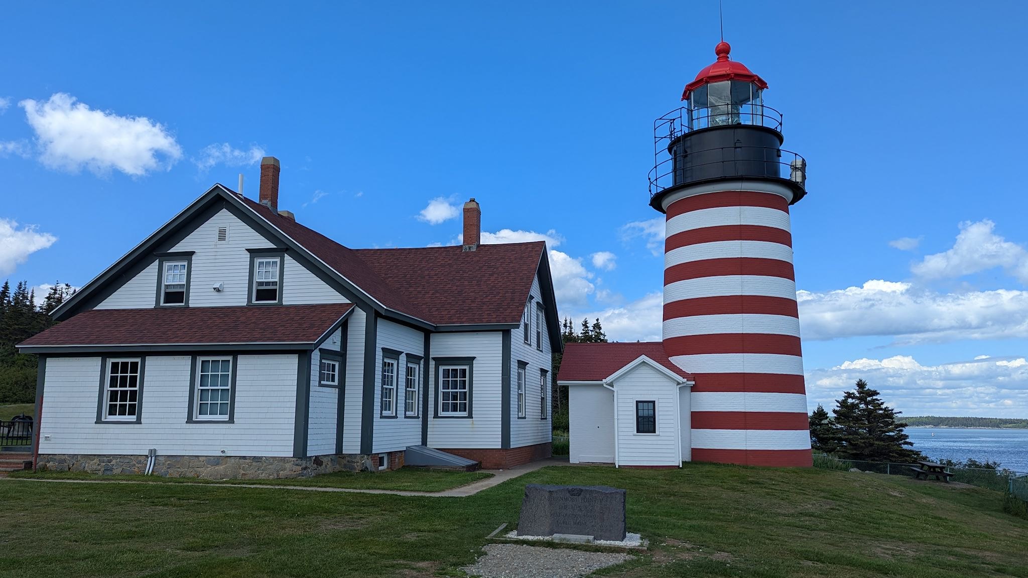
West Quoddy House Lighthouse

There are several places we could have chosen to cross into Canada from Maine. As superlatives nerds, we chose Lubec, ME because it’s the easternmost town in the continental US. OK, it’s also a cute little coastal city with shops, restaurants and a great hardware store. Also the easternmost campground, Sunset Point RV Park, which happens to be a great place to spend a couple days of R&R after the reunion festivities. Just outside of town is the West Quoddy Lighthouse, the easternmost point in the continental US.

Continue reading “Lubec, ME and Superlatives”

Cincinnati – deux

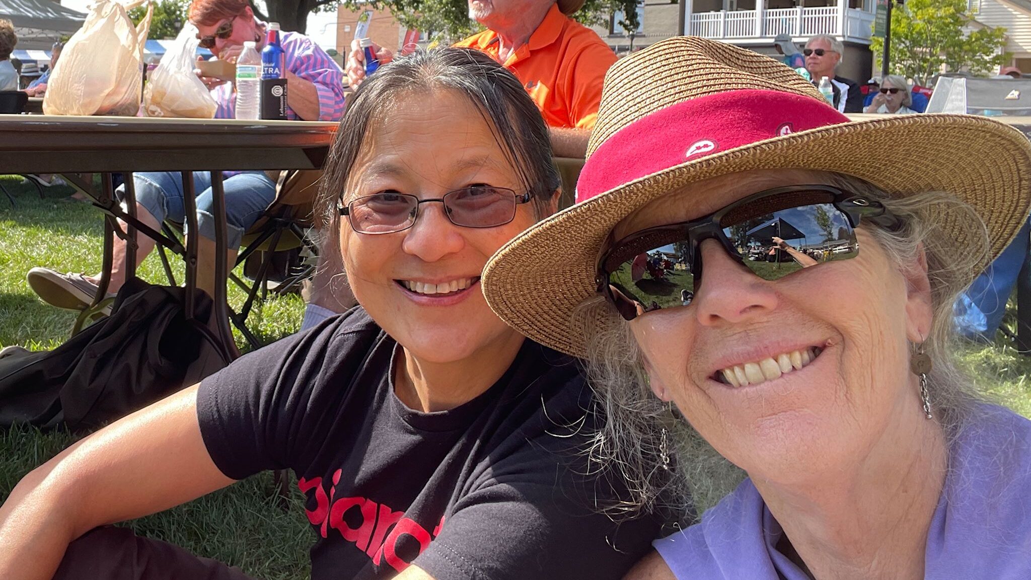
Honghong, Sue

We headed out from the Drumeo meetup in Hamilton, ON, nominally en route to this year’s upcoming Blues Guitar Unleashed live jam near Denver, CO. Now, a direct route between Hamilton, ON and Denver wouldn’t normally go through Cincinnati. Fortunately, we don’t care about direct routes nearly as much as we do about going different places and seeing different people, and we love getting together with my piano buddy Honghong. Last year’s visit was way too much fun, so there’s no chance we’d pass up another opportunity!

Set course for Cincinnati!

Continue reading “Cincinnati – deux”

Everglades National Park

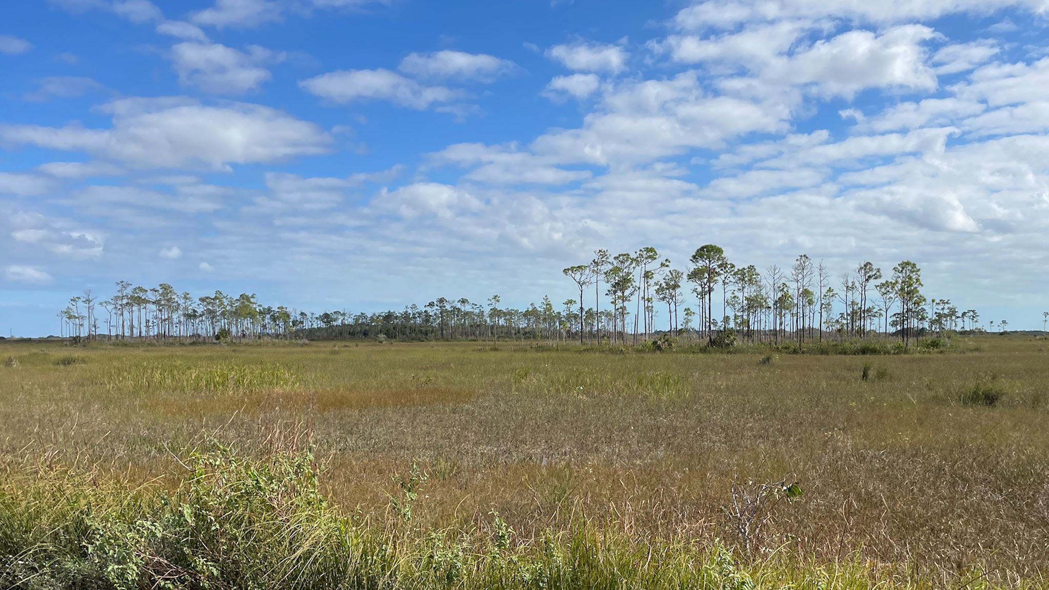
Slash pine ridges along the saw grass prairie of the Shark River Slough

Although we were glad to help my mom through her first-ever experience with surgery (at age 91!), we had to defer the latter 2/3rds of our planned southwest adventure. By the time my mom was stable (which happened very quickly, given the possibilities), there was no longer enough time to get back to any of those southwest plans. But we didn’t really need to rush home. Could we find a different adventure? What if we had planned a trip to the southeast… Is there something we would explore in Florida that we haven’t yet visited on our many family visits to Melbourne? This was a no-brainer – Everglades National Park!

Continue reading “Everglades National Park”

Bradbury Mountain State Park

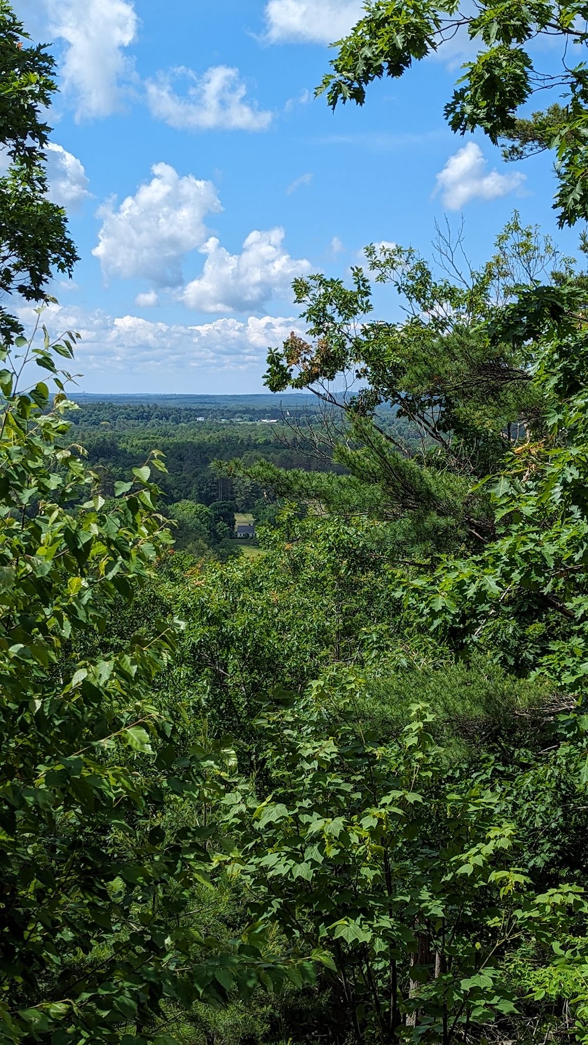
View from South Ridge

Having just spent a fair amount of our touring and visiting time within sight of the ocean, or at least the sound of the waves, for our next bit of exploration we looked around for a place to visit that would take us away from the coast a bit to see a different part of Maine, if possible staying away from larger towns because that’s our M.O. We didn’t want to get too far inland, though, since most of the rest of our visits are also along the coast. Well, what’s that green splotch there on the map? That’s Bradbury Mountain State Park. Set a course…

Continue reading “Bradbury Mountain State Park”

Quebec City, partie 3 – fermer le cercle

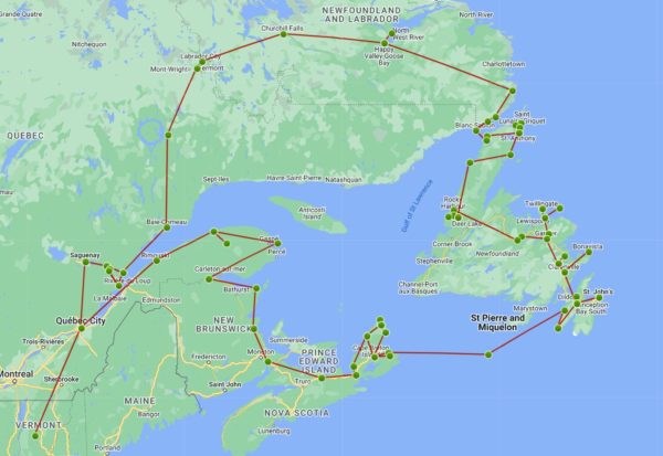
The first night of this trip, on June 10, was spent in Quebec City. After 100 days on the road covering 11,000 km/7,000 miles and 5 provinces, we’ve come full circle back to Quebec City. We’re quite proud of that circle! And now, the adventure portion of this trip is behind us. Ha! Not without one more quick visit to the city… ‘Je me souviens!’

Continue reading “Quebec City, partie 3 – fermer le cercle”

Farewell Newfoundland

We had no expectations about traveling on the island of Newfoundland. According to google maps, the primary roads create a funky ‘H’ across the province – 1 north south road on the west side, another on the east side, and one road connecting the two across the middle. Many side roads lead to (mostly) small communities along the coast. We’d heard varying reports of the quality of the roads on ‘The Rock,’ but even the most foreboding of these led us to believe we’d seen worse. (And the roads were fine!)

Continue reading “Farewell Newfoundland”

Labrador 510 – Trans-Labrador Highway, part 2

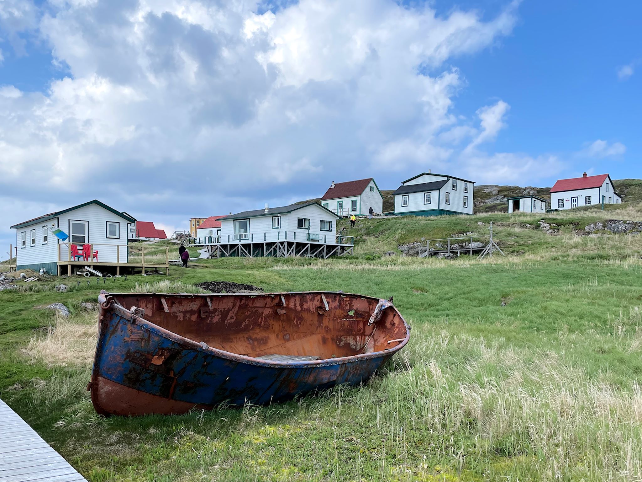
Battle Harbour

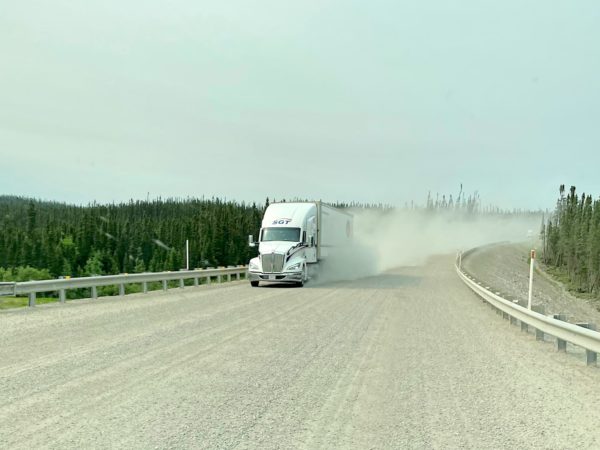
The road to connect the settlements and resources of western and coastal Labrador – the Trans-Labrador Highway – had been in the works since the early 80’s. Dirt roads and walking trails between settlements were widened into gravel roads in sections, then paved as demand and budgets allowed. The last remaining section of gravel was paved in July, 2022 – and the road was complete!

Continue reading “Labrador 510 – Trans-Labrador Highway, part 2”

Quebec 389

Quebec 389 is described as dangerous by public safety organizations, beautiful by tourism publications, and remote by both. It is unquestionably remote, winding its way through the boreal forest 547 km/340 miles from Baie Comeau on the St Lawrence River, past a series of ‘Manic’ dams owned by Hydro-Quebec (Manic-1 through Manic-5, all named after Lake Manicoualan which they hold back) and multiple open pit mines on the way to Fermont (French for Iron Mountain). There are 2 tiny settlements and 3 fuel stations along the way. There’s cell coverage at the fuel stations. For safety, there are 10 good, old-fashioned telephone booths spread out along the road (more than remain in the entire state of Vermont) for anyone who’s stranded. It’s the only road north from the Côte Nord/North Coast of Quebec and, once connected to the Trans-Labrador Highway, allowed for overland passage to the coast of Labrador. But that’s getting ahead of ourselves.

Continue reading “Quebec 389”

Manitoulin Island

Lake Manitou from the Cup & Saucer cliffs

Look at any map of Ontario, and there’s a curious island at the north end of Lake Huron. It’s Manitoulin Island and we’d never heard of it. And it has a dotted line attached to its southern shore. Ferry! This needed some research.

It turns out Manitoulin Island is the largest island in a freshwater lake in the world. Interestingly, Manitou Lake (in the photo above) is the largest freshwater lake on an island in the world. The population (13,000) is a healthy mix of people of indigenous and European descent. Politically and culturally, the island is in North Ontario. Geologically – the Niagara Escarpment runs through it – it’s an extension of South Ontario. There are only 2 ways on or off the island – a swing bridge from Little Current to the mainland, and a ferry to and from the Bruce Peninsula that runs only in the summer. It sounded to us like a unique place worthy of exploration…

Continue reading “Manitoulin Island”