Most people have heard of the Klondike and Klondike Gold Rush, even if only through watching Klondike Kat on Sunday mornings as kids. (Savoir-Faire is everywhere!) The Klondike was indeed a productive gold mining area in Western Canada near the Alaska border during 1896-1898. We suspect most people don’t know the Klondike Gold Rush was a group of about 100,000 prospective miners (aka prospectors) hoping to strike it rich, fueled by a recession in the lower 48 with high unemployment along with a spate of exaggerated claims and advertising fueled by the boom towns benefiting from the influx of outsiders buying passage, food and supplies. The prospectors bought passage on ships from Seattle and San Francisco to Skagway/Dyea (pop then 30,000), hiked over Wright Pass, then built boats to navigate down the Yukon River to Whitehorse where they boarded steamships to Dawson City (pop then 40,000). After their year of travel, they arrived to find no more gold claims were available. About 30,000 prospectors made it to Dawson City. Some turned around and went back home while others moved on to other gold fever boom towns in Alaska.
Although Alaska and western Canada share a rich (pun intended) gold mining history, the Klondike slice of it is fascinating and widely celebrated in this part of the world. We got to drive the overland part of the gold rush route in reverse, from Dawson City to Whitehorse to Skagway, on the Klondike Highway.
Before going on… We sometimes forget or gloss over that the history of mining and westward expansion in general and the Klondike Gold Rush in particular are one with the history of displacement of the native peoples who had lived in the areas for many generations. Although a few of the indigenous residents took jobs in the mining industry, their traditional hunting and fishing grounds were destroyed, water was contaminated, settlements and families were uprooted from their homeland, and many died from smallpox and other diseases brought in by the outsiders. In Canada, the First Nations (as the original natives are known) have negotiated brilliantly with positive (though slow in coming) results for their rights to govern themselves and choose their own balance of traditional and western/Canadian lifestyles. We see the pride and applaud the successes in preserving the culture as we visited First Nation cultural centers throughout Canada and particularly the Tr’ondek Hwech’in center in Dawson City.
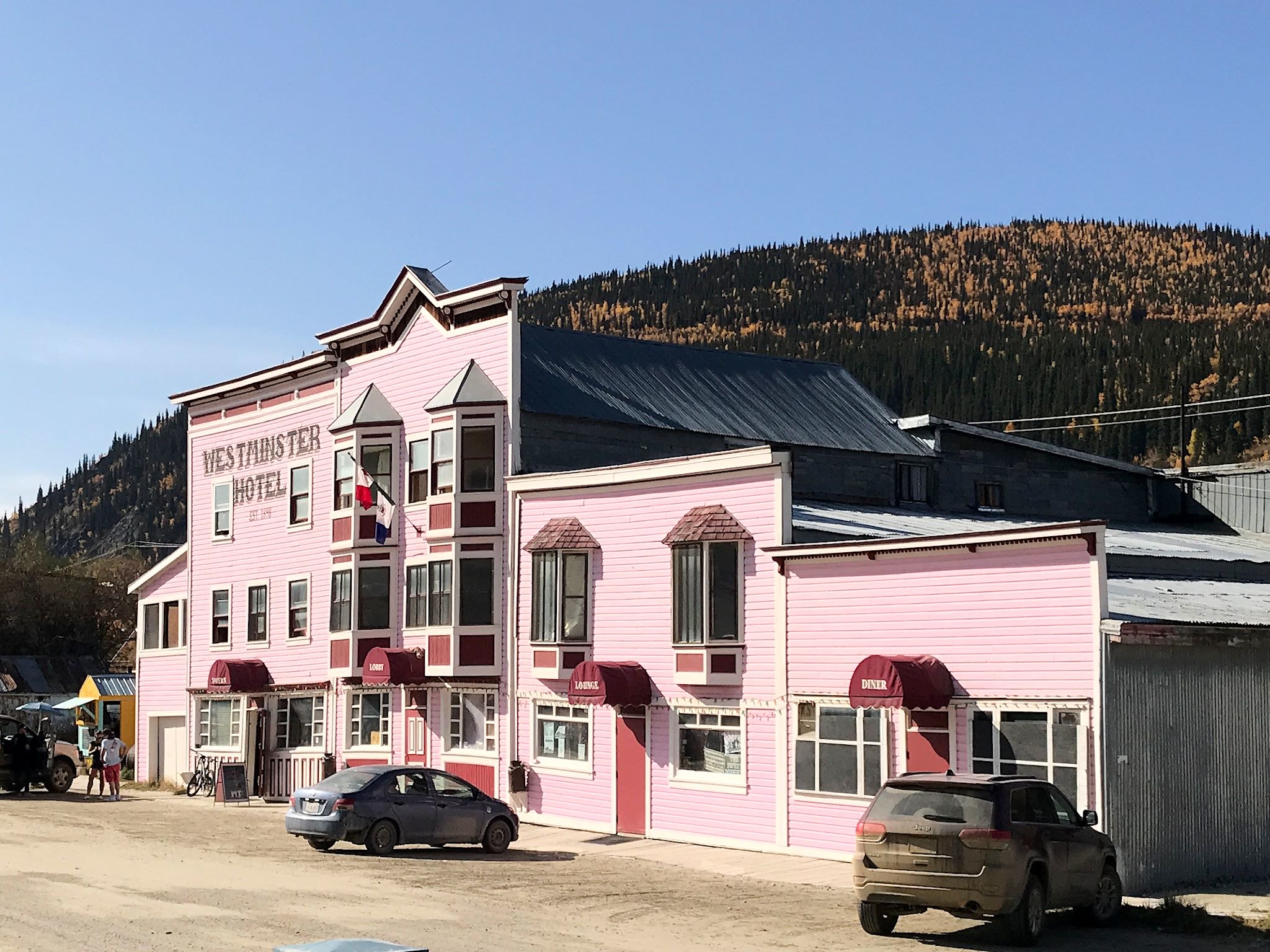
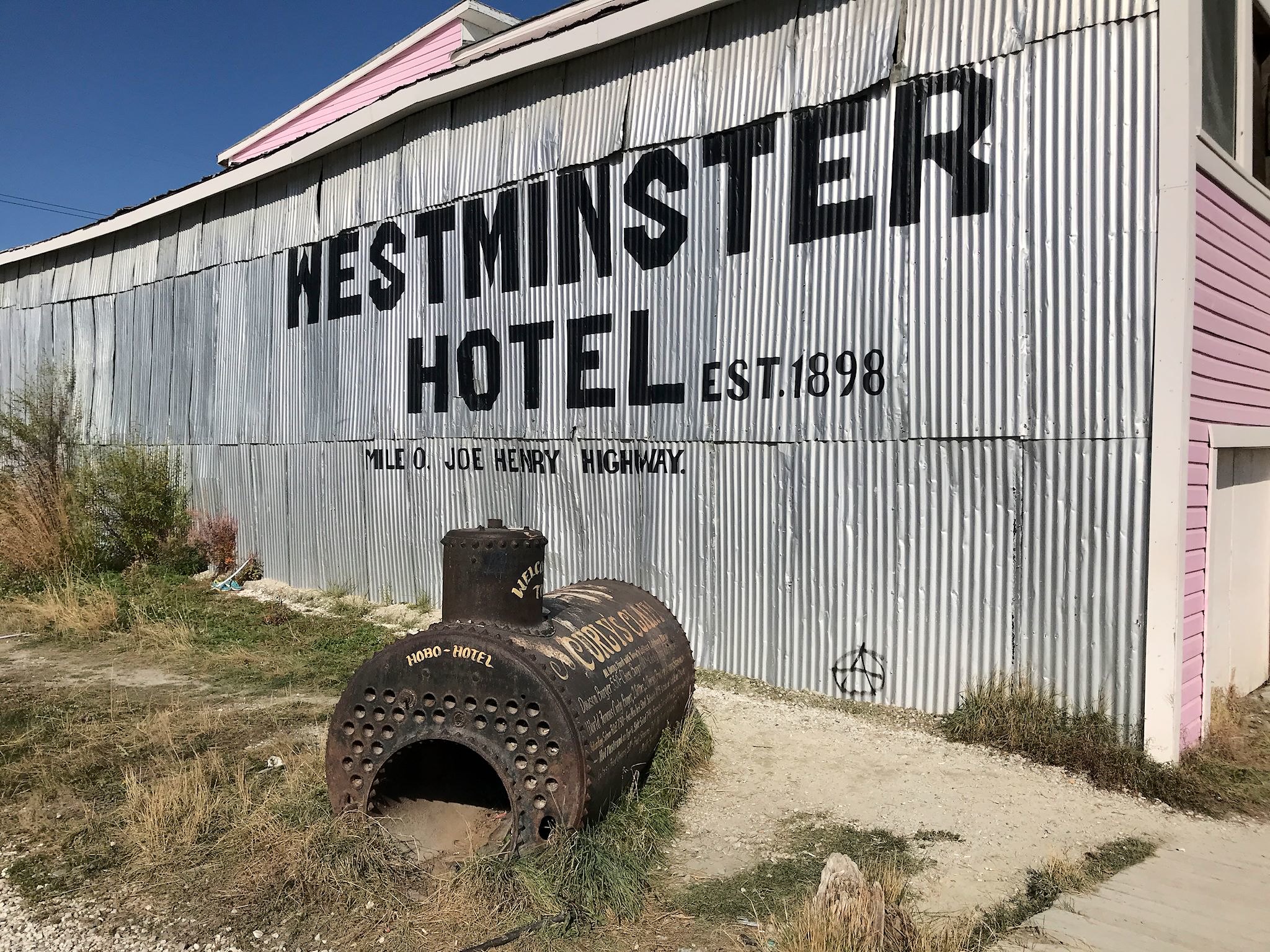
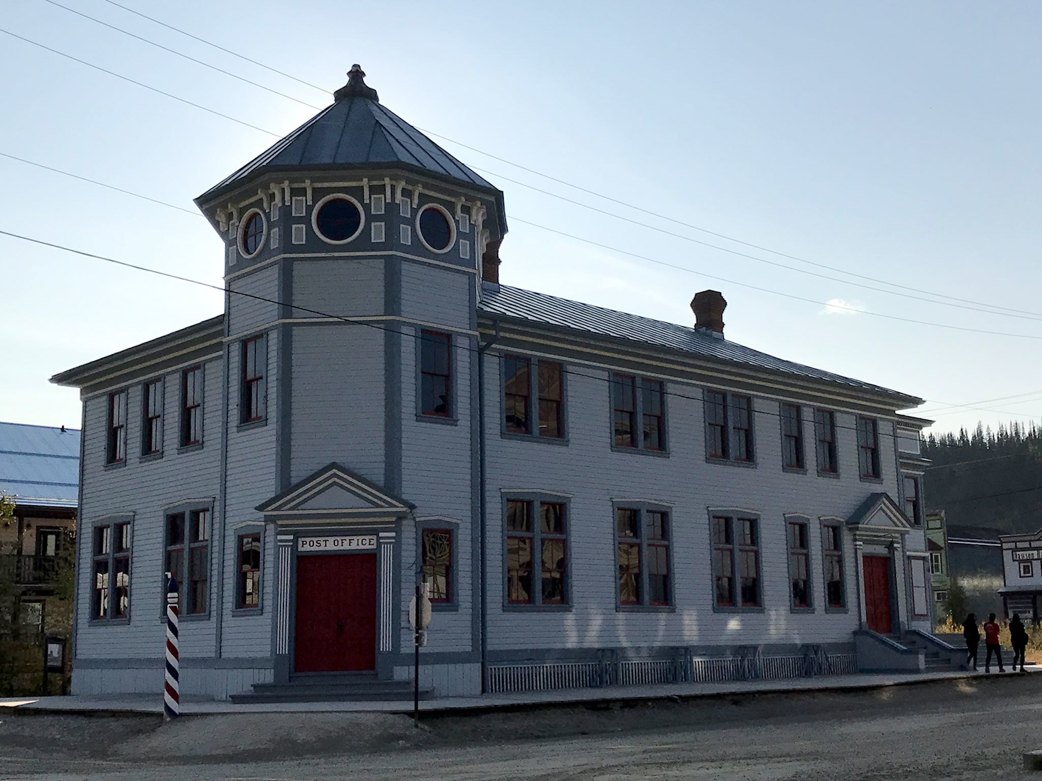
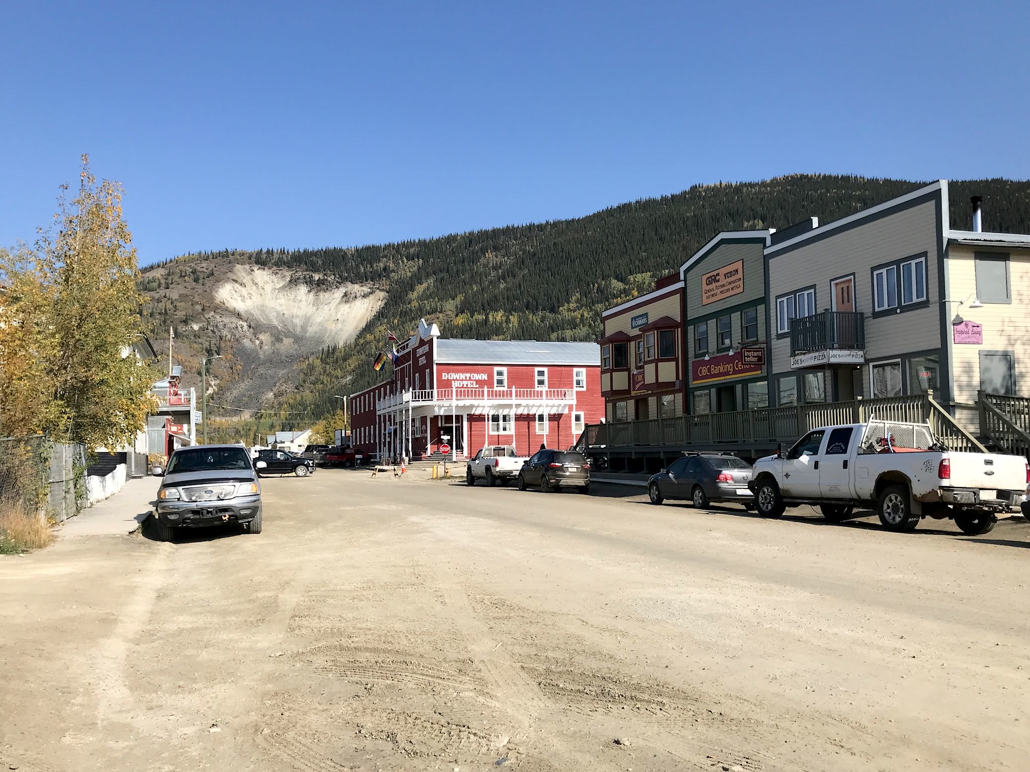
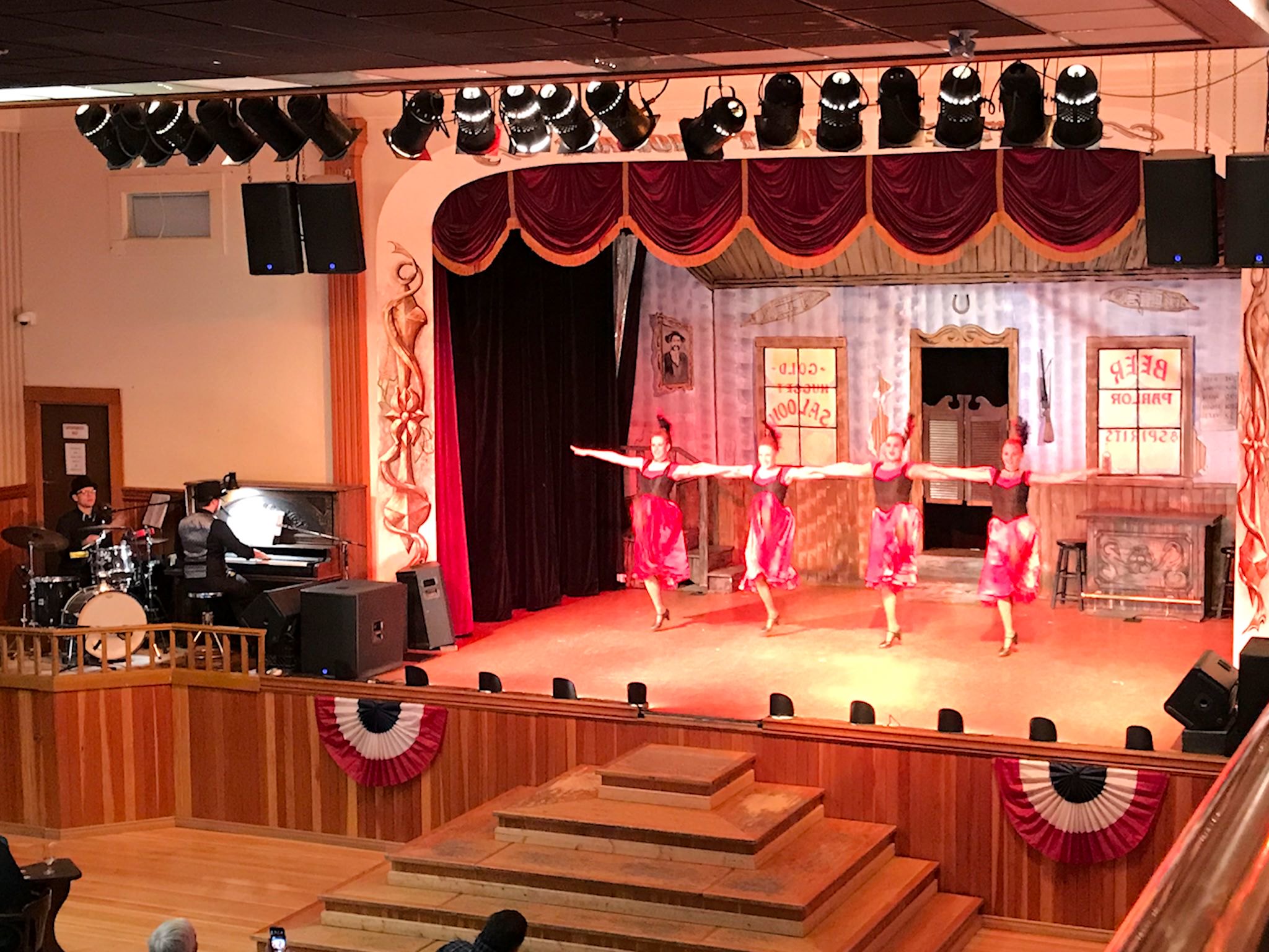
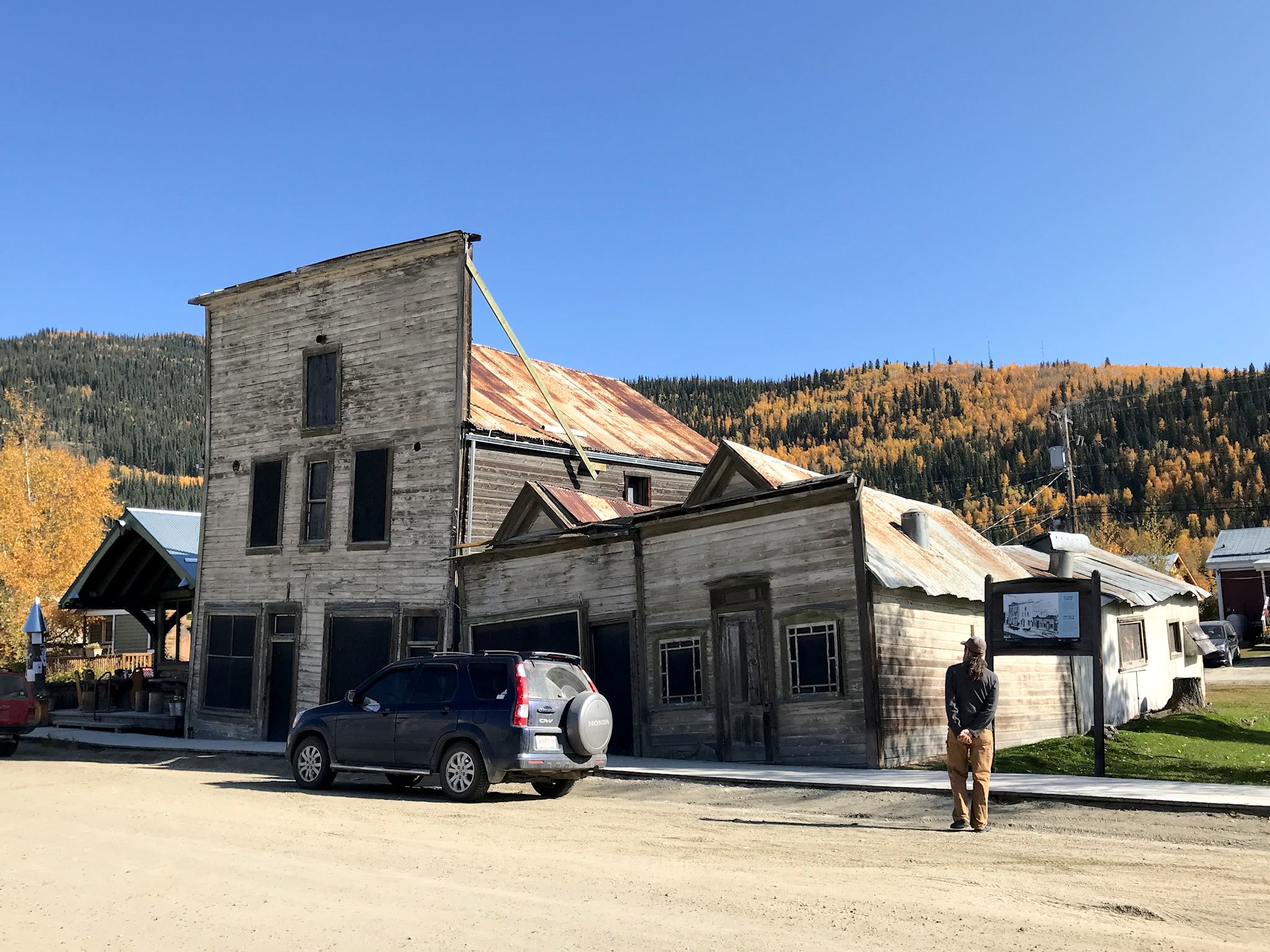
Dawson City (pop now 1,400) is a fun, hopping small town on the Yukon River. Mining operations continue to this day, though not on a huge scale. Tourism is a key part of the economy and they do it up nicely. Without taking anything too seriously, the town celebrates the mining heritage with its period architecture – much of it original, some renovated, restored, or reconstructed – elevated board sidewalks, dirt streets, etc. as well as gold-rush-influenced tours and shows. We treated ourselves to Friday night out on the town with an excellent dinner at the El Dorado hotel and the Can-Can show at Diamond Tooth Gertie’s. Every restaurant was busy, and bars with music were overfilled with a mix of locals and tourists.
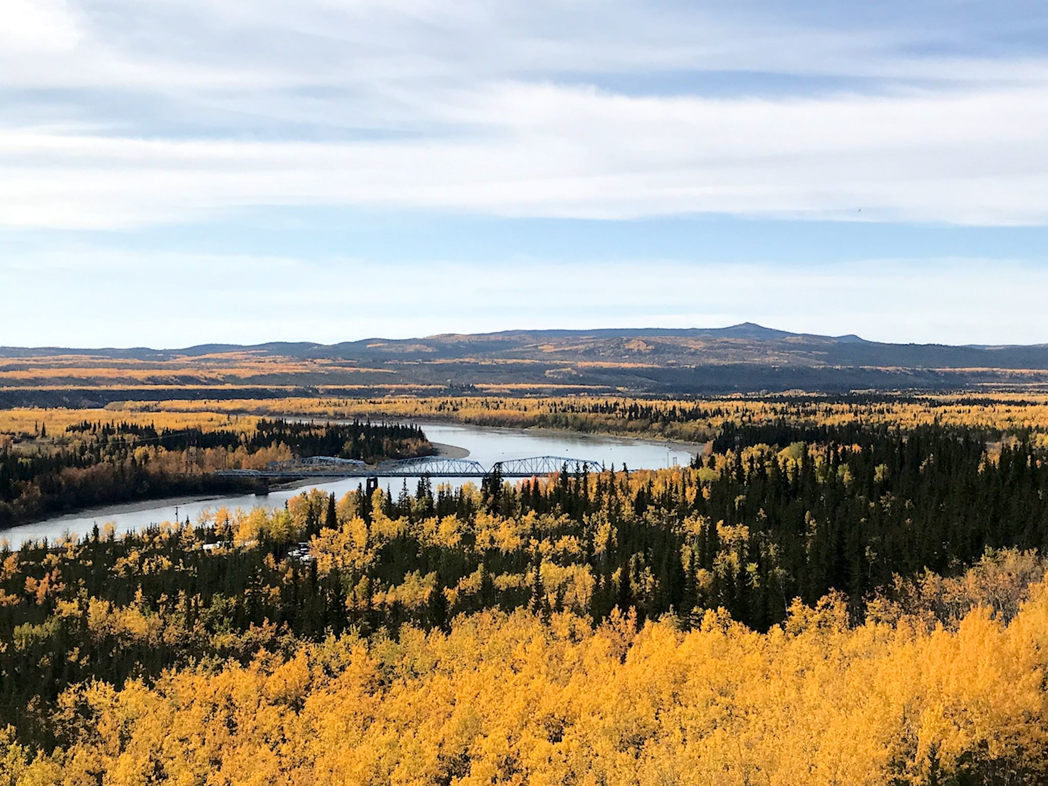
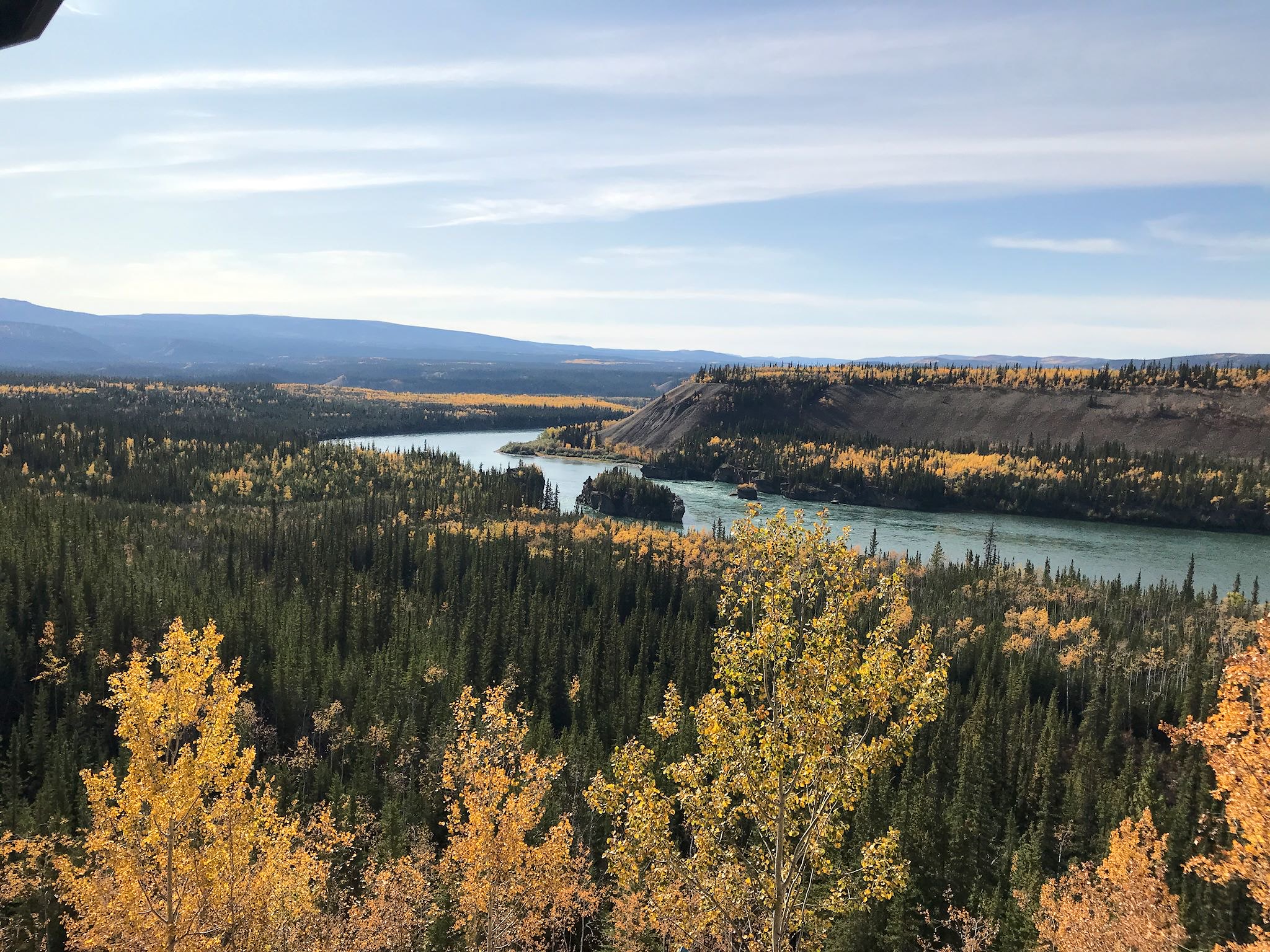
The Klondike Highway toward Whitehorse left the more rugged mountains behind and made its way through big rolling hills with a fabulous monochromatic foliage theme – golden poplar, bright yellow aspens, and screaming yellow quaking aspens with a few green spruce trees, wide blue rivers and gray ridges for added interest. We lunched at an overlook of the Five Finger Rapids on the Yukon River – five small, tall and steep islands that churned up the water making steam ship passage risky until some of the rock was blasted away to improve navigability.
We’d visited Whitehorse (pop 25,000) in May en route to Alaska and enjoyed our stay there. Its location on the Yukon River at the end of the White Pass & Yukon Route Railroad, and the main Klondike route, made it a transportation center early on. With the completion of the Alaska Highway (1942), the city was connected to the rest of the world by road. After the Klondike trail was paved (1955) and the capital of the Yukon Territory was moved from Dawson City to Whitehorse, the city’s position as the hub of the Yukon was complete. It’s a true city with a fun vibe in a beautiful setting on the Yukon River and surrounded by mountains.
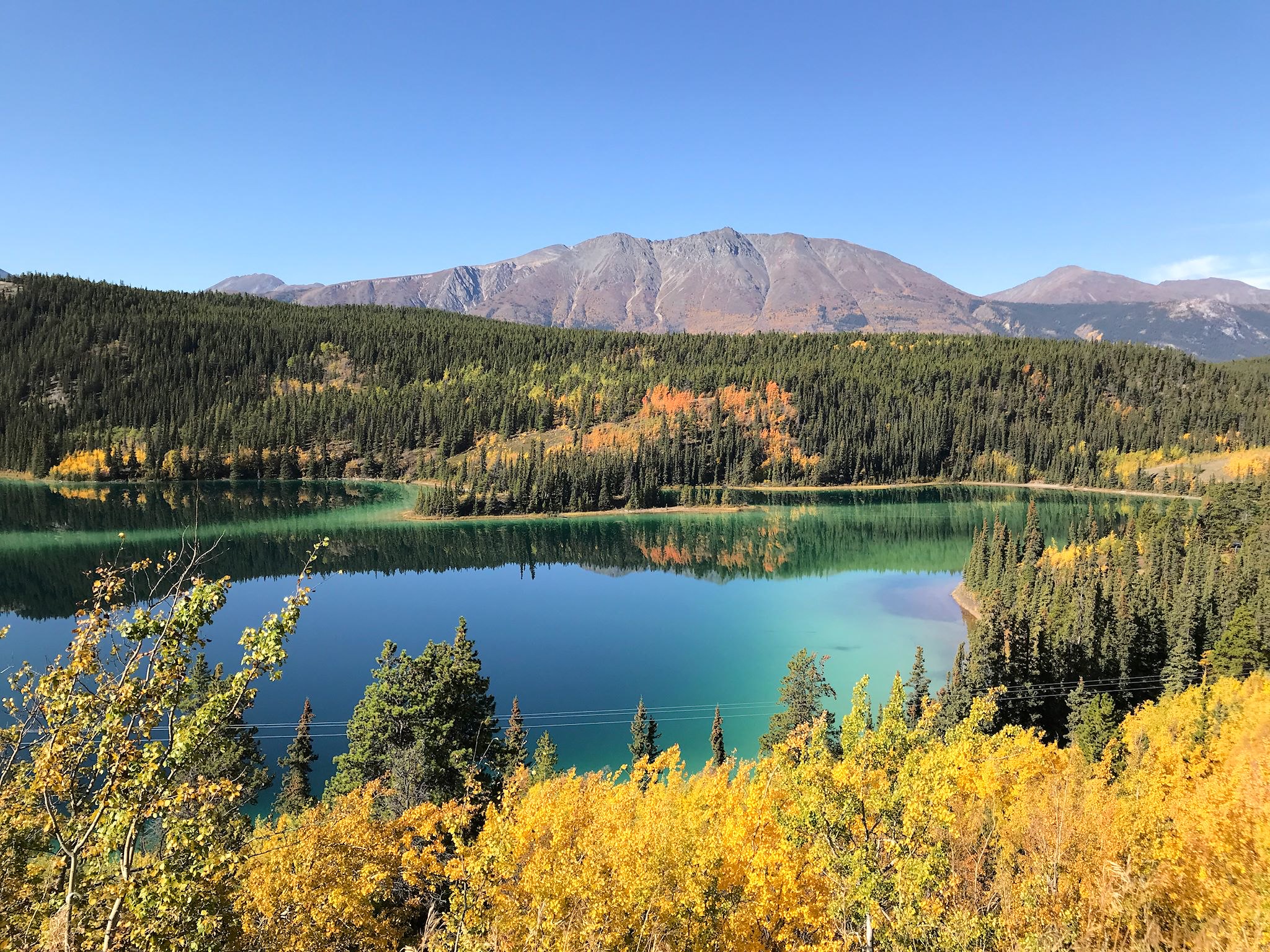
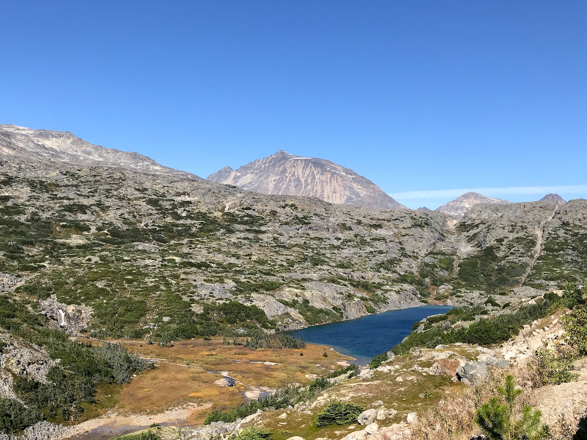

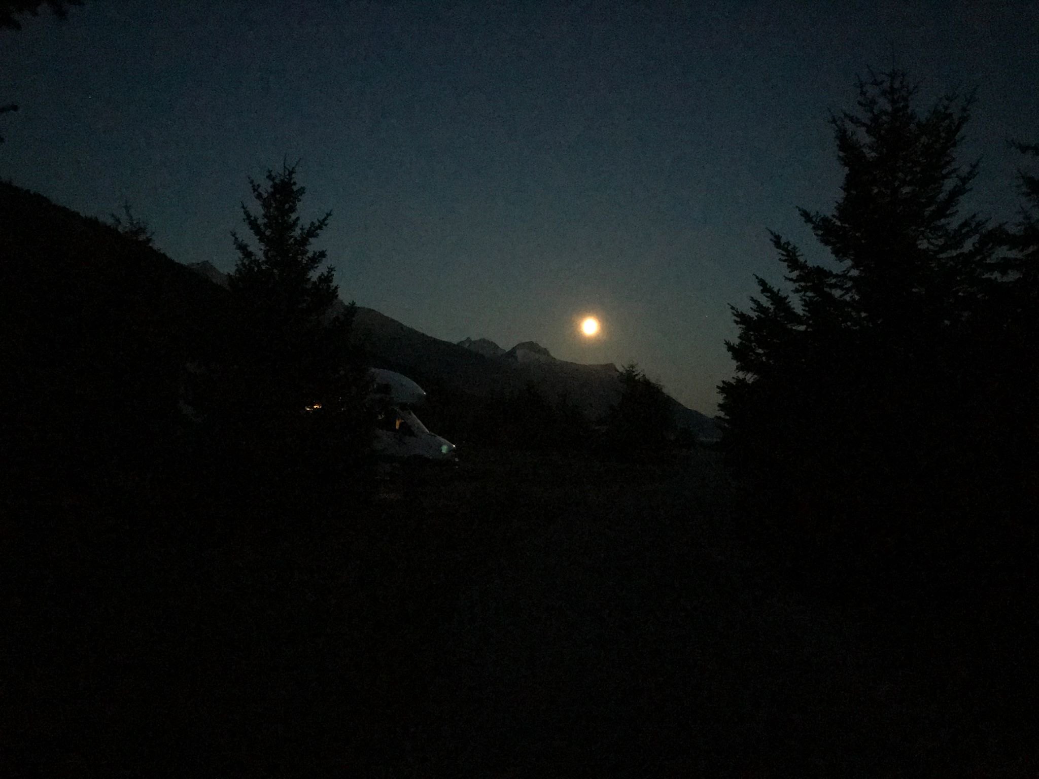
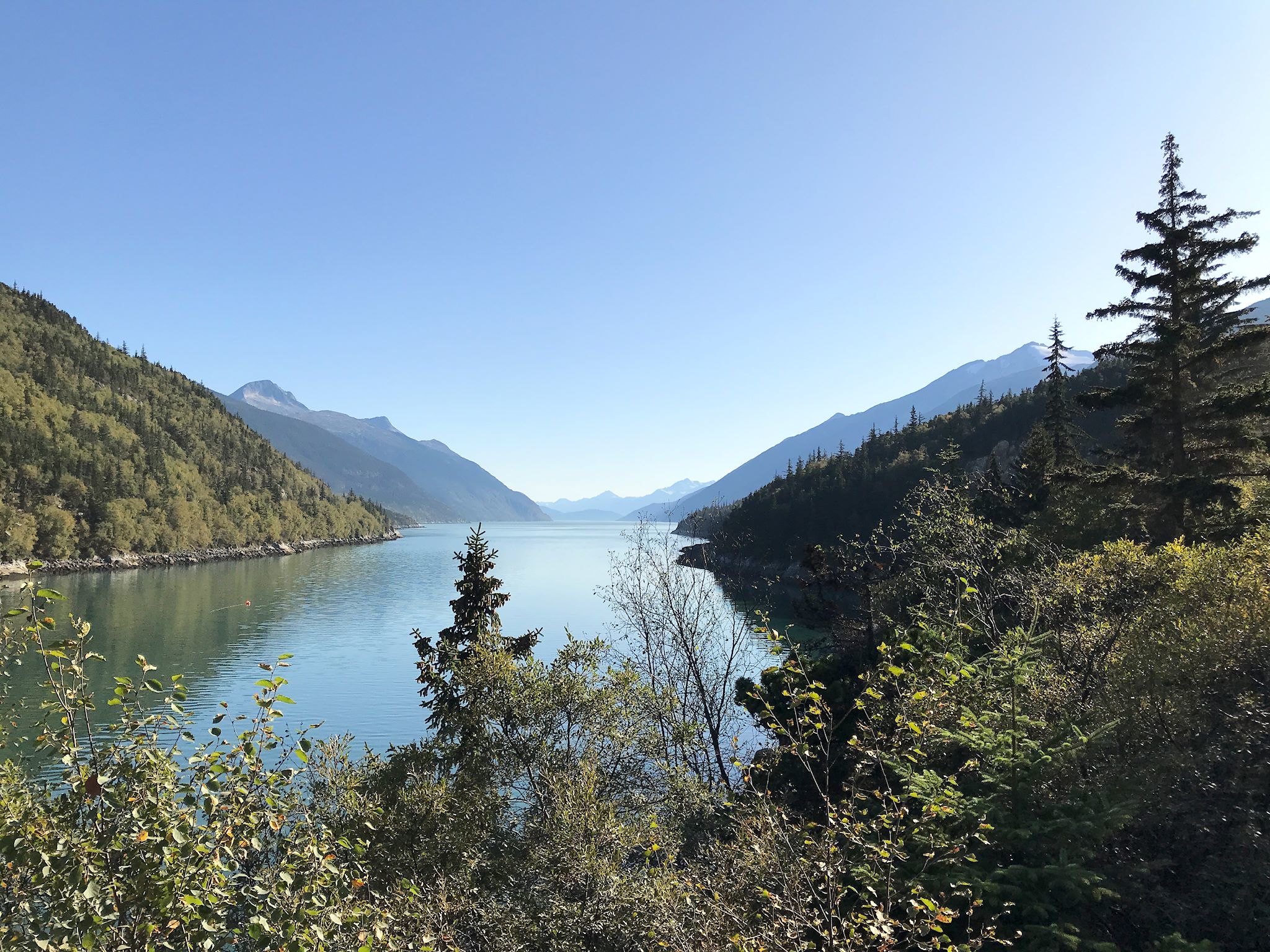
We didn’t notice right away that the Klondike Highway south of Whitehorse was past foliage season because we were distracted as the road climbed through the coastal range, with most of the high peaks above tree line showing colorful rock and glaciers higher up. In places, the road ran along a series of big, bigger, and huge lakes which we learned were wide spots in the Yukon river. As we approached Wright Pass, the terrain changed into a moonscapish place as the road itself rose above tree line. Big rounded rocks covered with impish trees and surrounded by water created yet another distraction. At the top of the pass, also the US/Canadian border, we re-entered Alaska and descended quickly (and steeply) to yet another end of the road town…
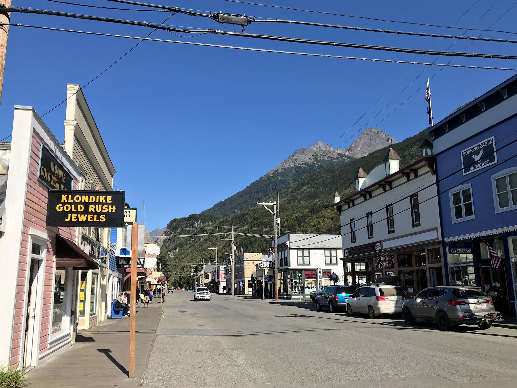
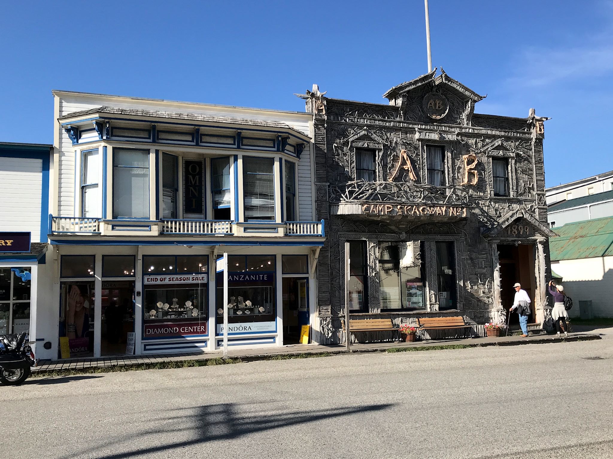
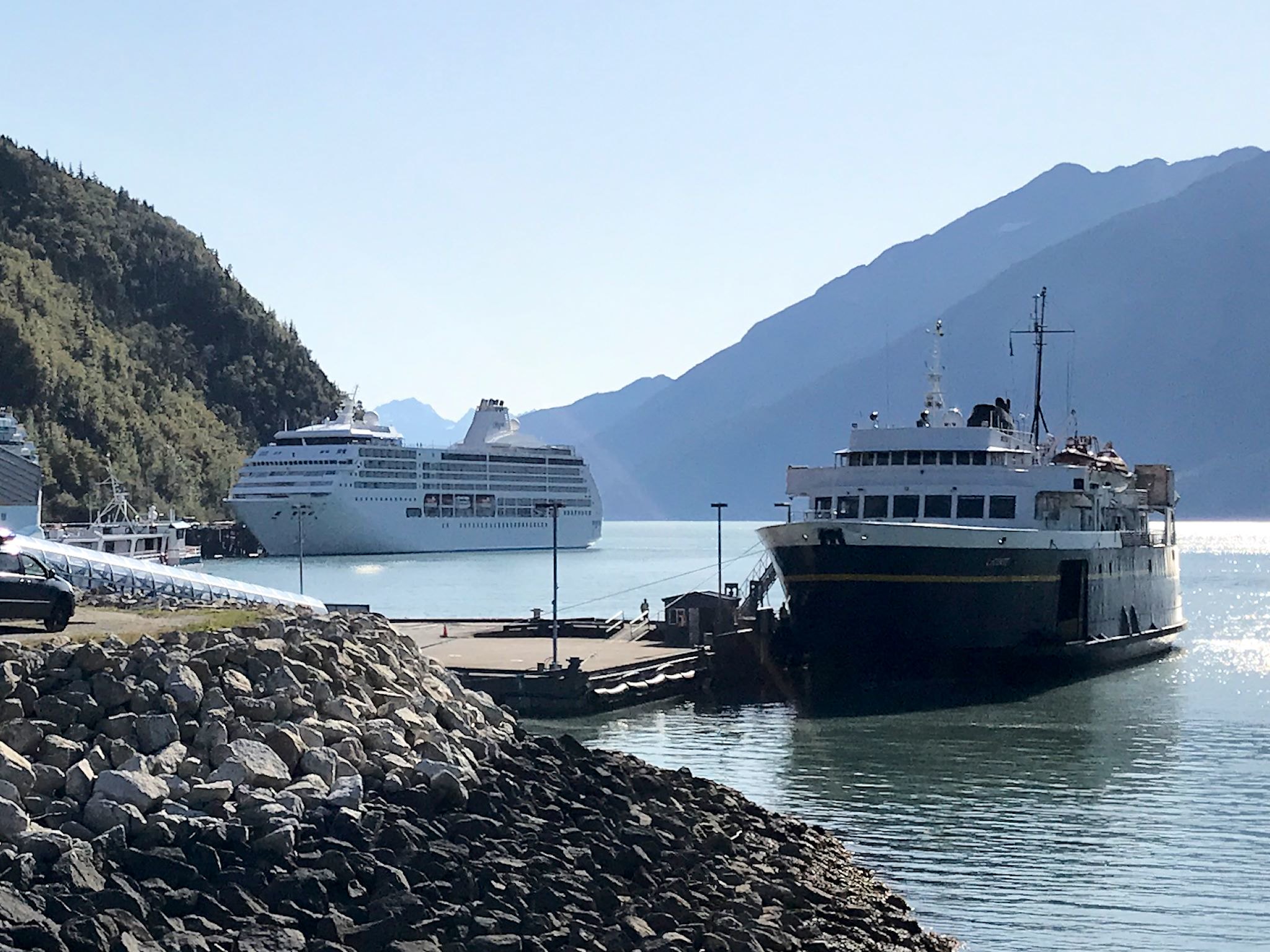
Skagway (pop now 1,200) also still identifies as a Klondike Gold Rush town in its own way. The US National Park Service provides exhibits and films as well as tours of preserved historic buildings in town. Thanks to the deep port enabled by the fjords that surround the Taiya Inlet, the town of Skagway can (and often does) host up to 4 full size cruise boats at a time that together can release as many as 12,000 passengers into the town and surrounding areas. It has the infrastructure to serve that influx of guests with restaurants, T-shirt shops, high-end jewelry stores, and guided tours.
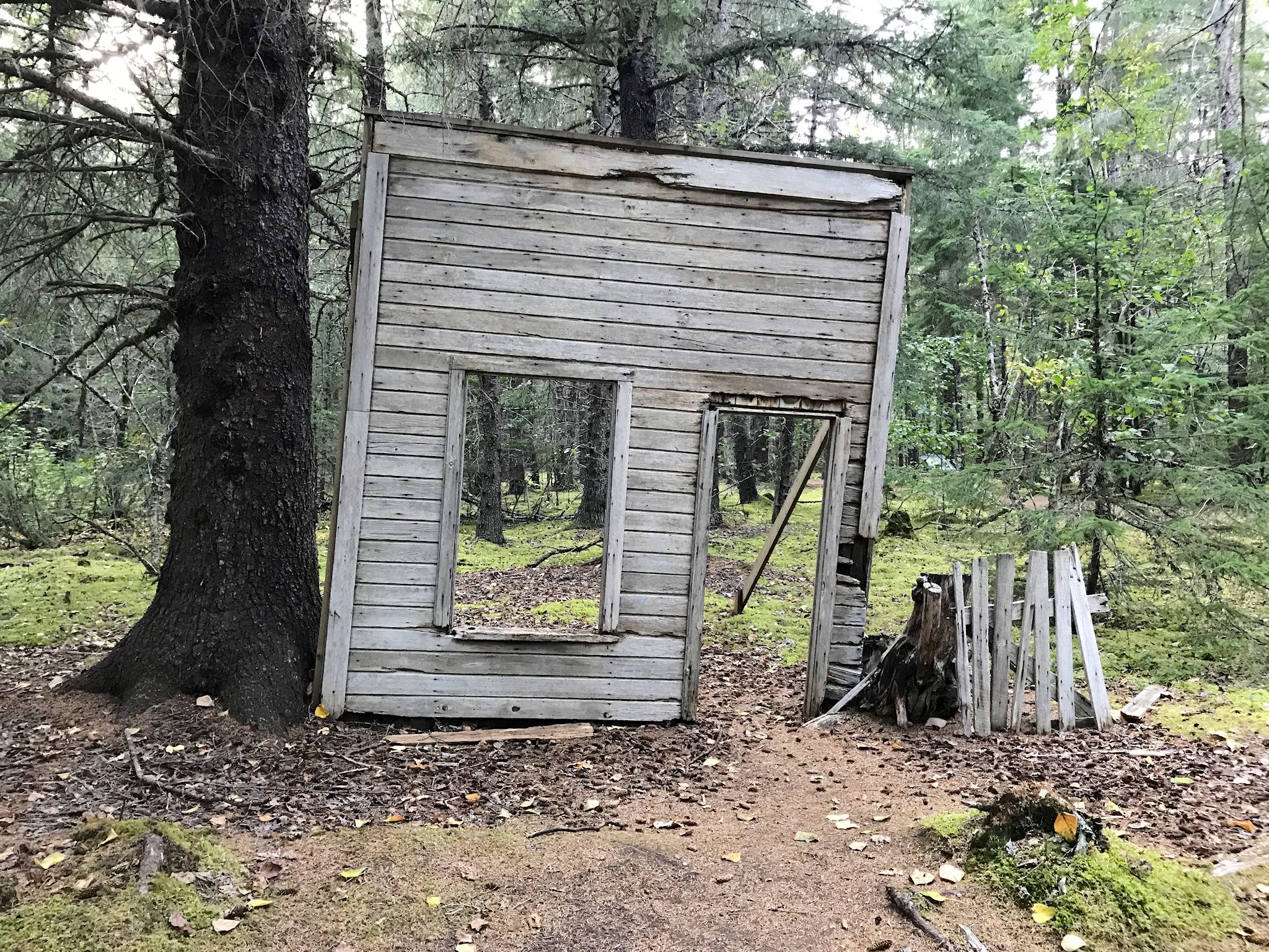
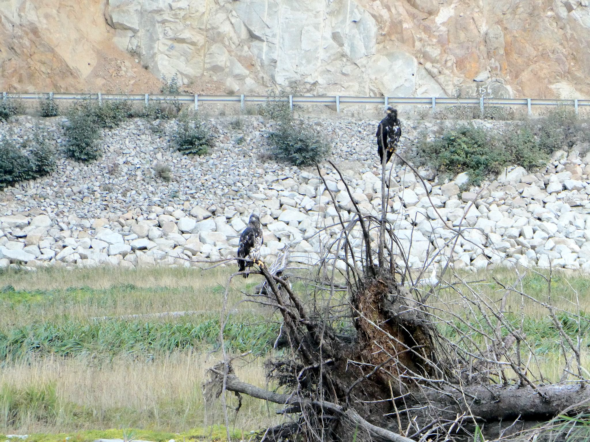
With 4 cruise boats in town (only 1 was full sized), we found our place exploring Dyea, (with my best Canadian on, I thought it was pronounced Die-eh, but I learned it’s Die-EE), a gold rush boomtown turned ghost town just over the hill from Skagway. There we walked a self-guided tour along paths through the woods, where scattered remnants are all that remains of the old townsite of Dyea. The tidal flats were teeming with birds, including bald eagles – we spied an adult or two (or the same one twice) and a couple of adolescents.
With that, we had closed the loop on the Klondike and the gold rush and gold mining history of western Canada and Alaska.
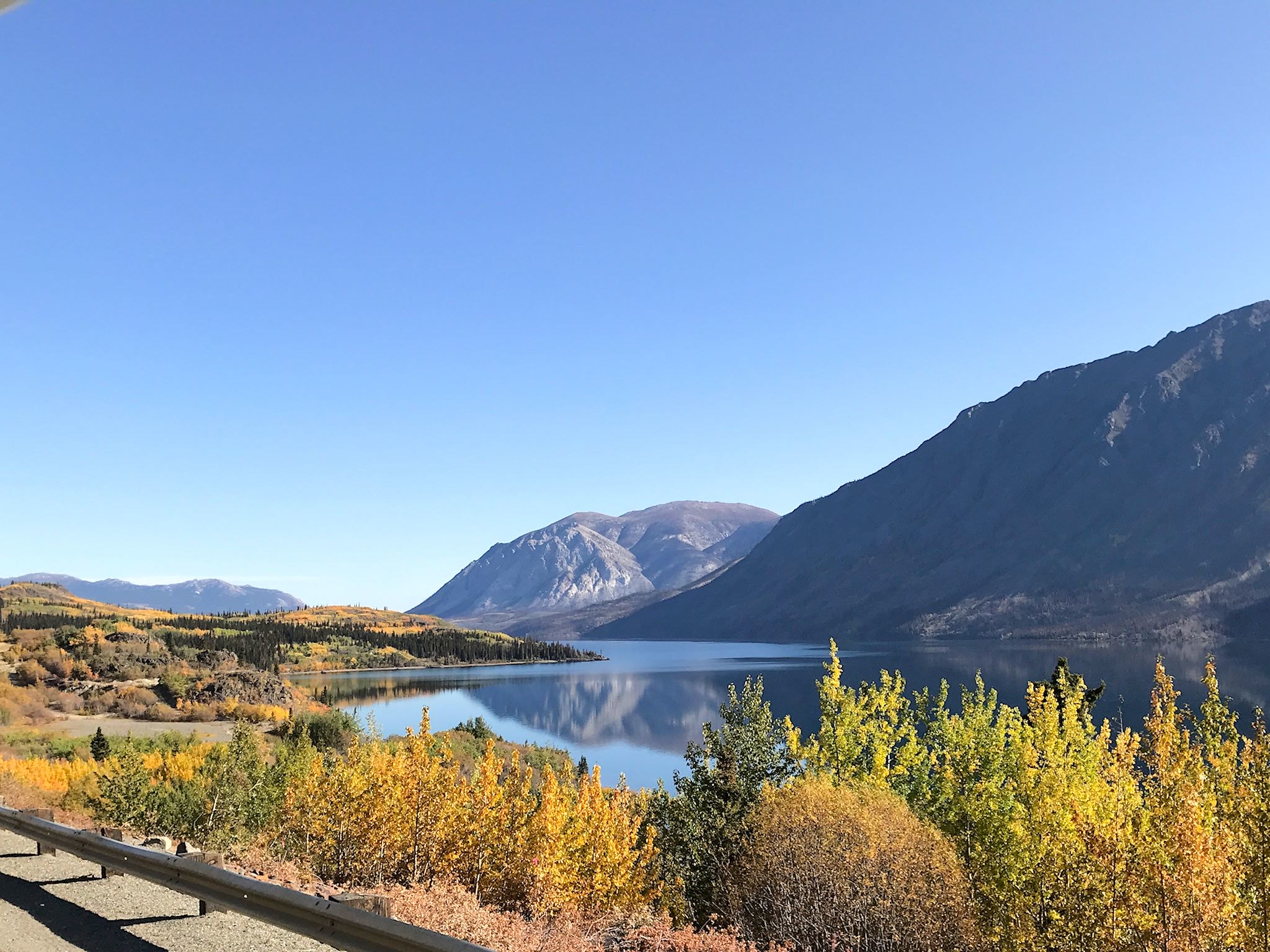
While taking pix on the shore of Bennett Lake, near Wright Pass, we realized we were also closing another loop. We’d crossed the Yukon River, the third longest river in North America, at its only bridge crossing in Alaska and the westernmost point of the river you can drive to (not very far west…) while on the Dalton Highway. We drove to Eagle, one of only 2 points in Alaska where you can drive to see the Yukon. We crossed the Yukon on the ferry in Dawson City, and drove over the bridges in Whitehorse and Tagish, the only two bridges over the Yukon in Canada. We’d hiked along the Five Finger Rapids. And here we were at the source, 3200 km (2000 miles) from where the Yukon empties into the Bering Sea, the thought dawning on us that we’d seen essentially all you can see of this mighty river without a boat.
And then there’s the Alaska Highway… Everybody driving to or from Alaska must go through Whitehorse and Tok – the two driving options meet in both towns. We’d now closed the loop on the Alaska Highway, too. We are planning to explore new territory from here. Time to head south…
For anyone who’s interested, more Dawson City, Dawson City ferry, Danoja Zho Cultural Centre, Klondike Highway, Klondike Highway south, Skagway and Dyea pix…