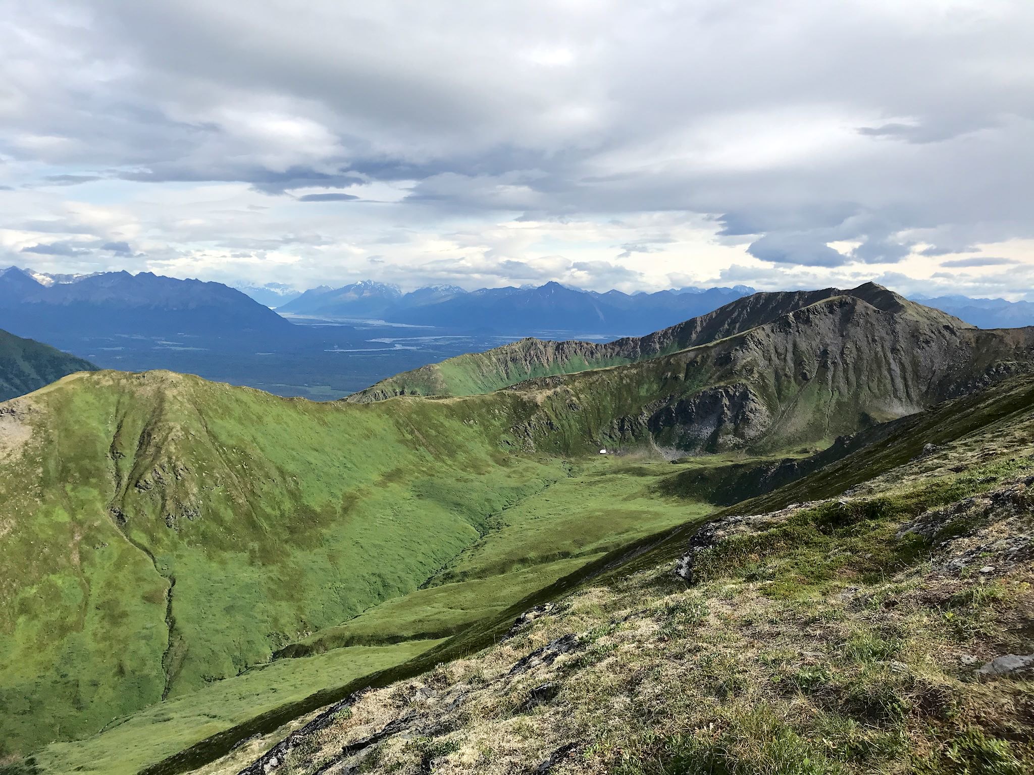
You might be thinking by now that we have a perverse infatuation with dead-end roads to out-of-the-way places. Ok, maybe we do a little – and we’ve been to some outrageously cool end-of-the-road spots – and sometimes there’s more to it than that. While at the Folk on the Rocks Festival last year in Yellowknife, we chatted with some folks living there who came originally from Inuvik. They loved the town, and they also told us that the Mackenzie Delta was the most beautiful place on earth. That was certainly enough for us to put it on our list.
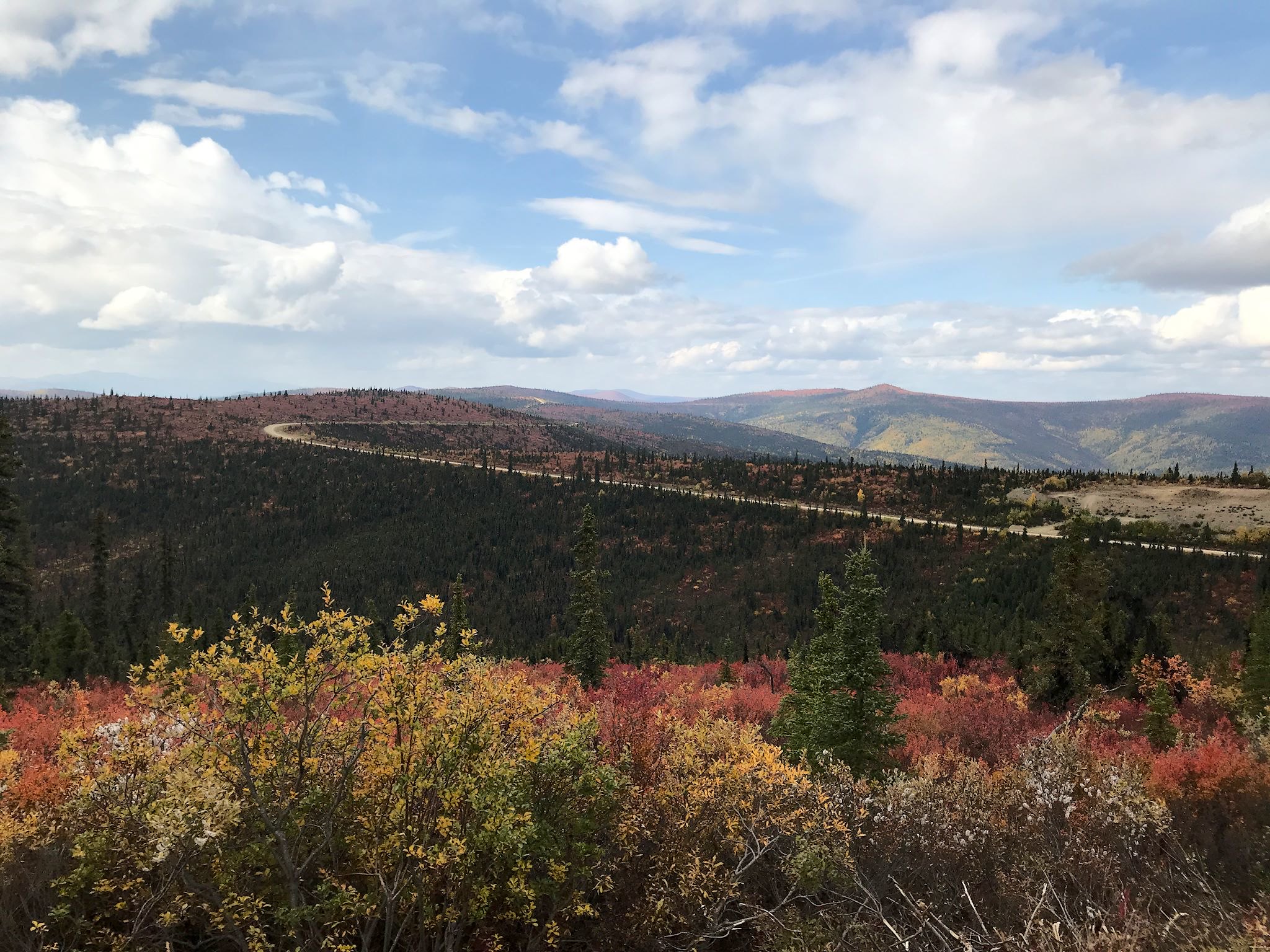
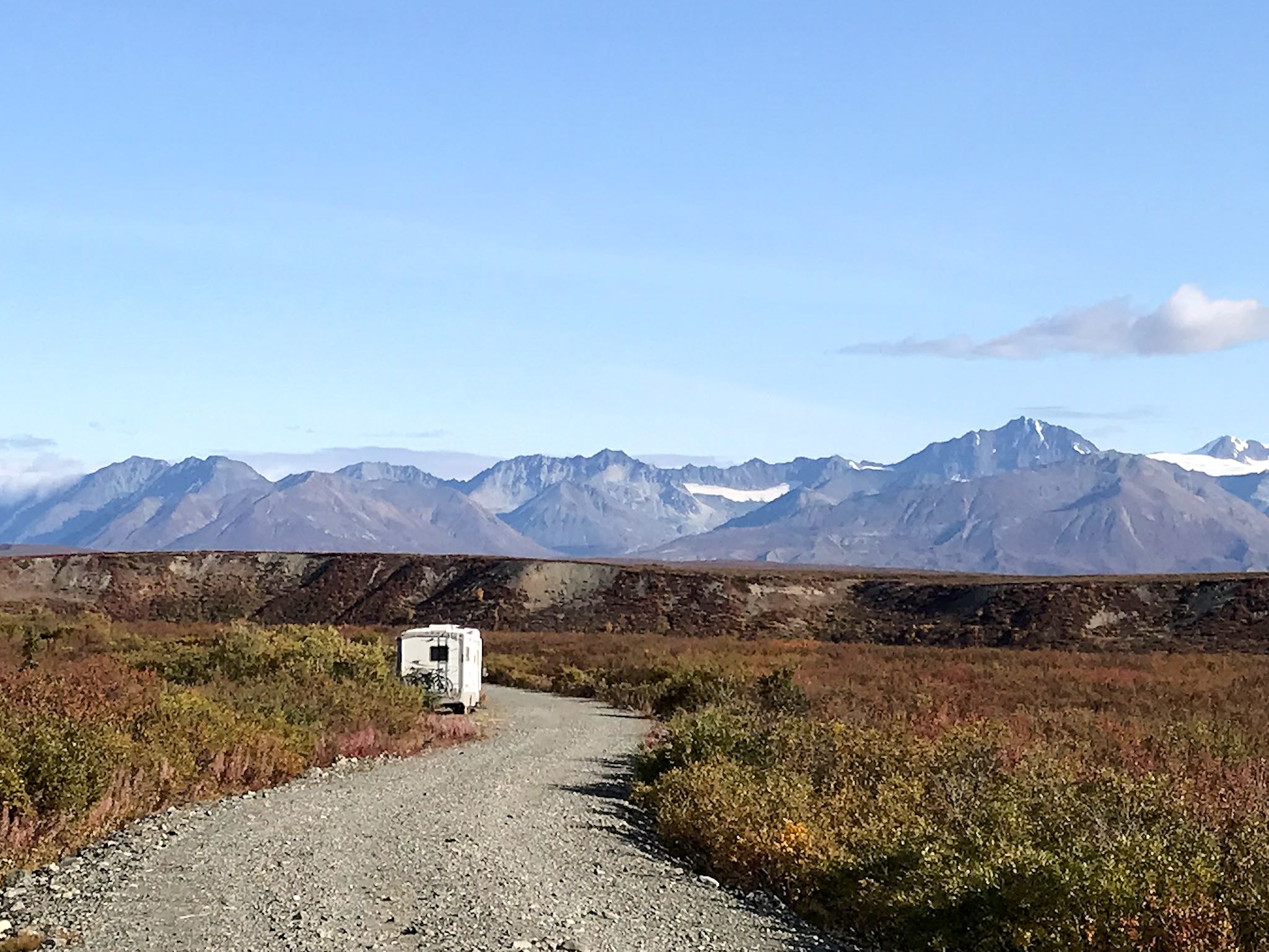
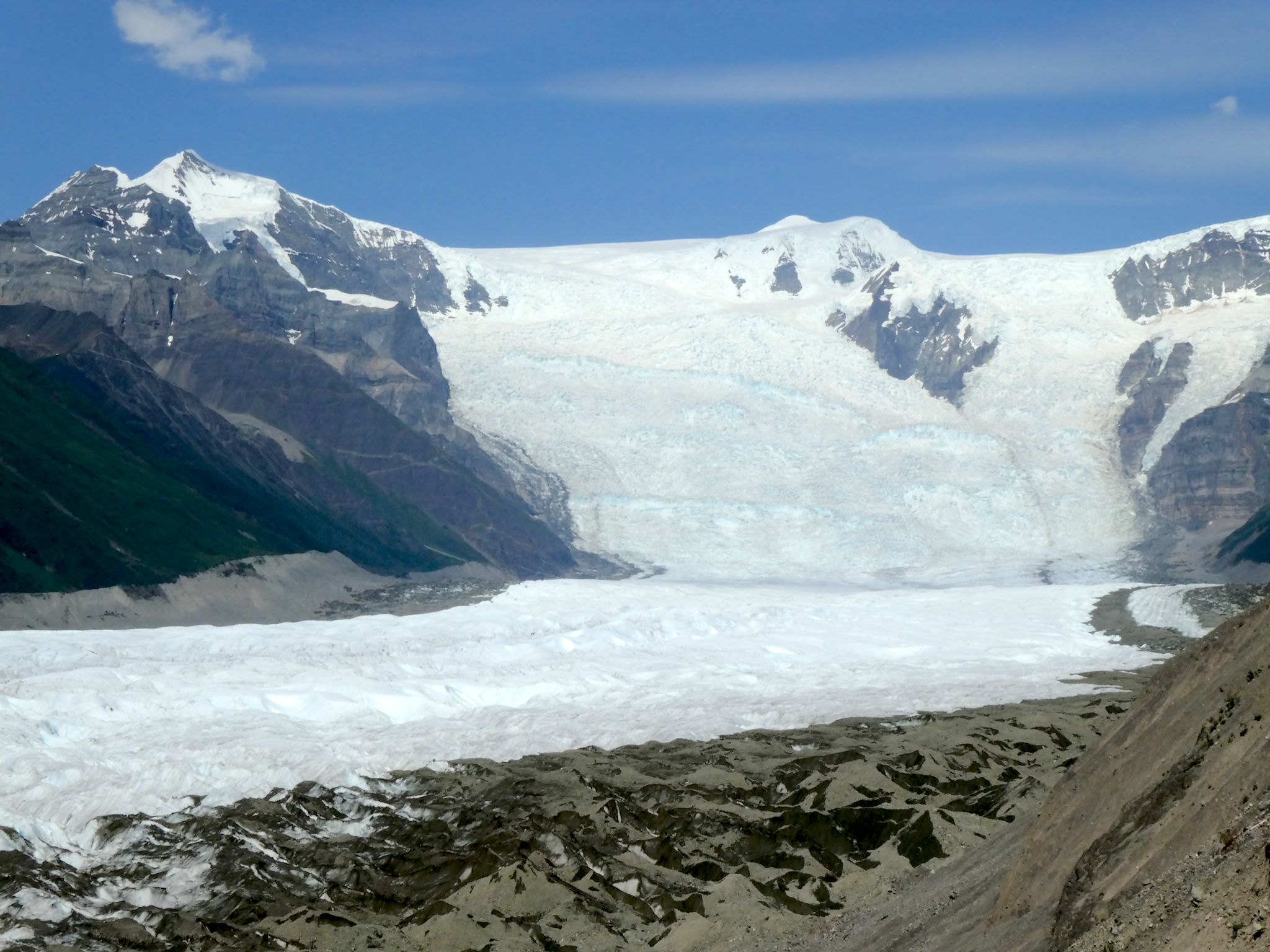
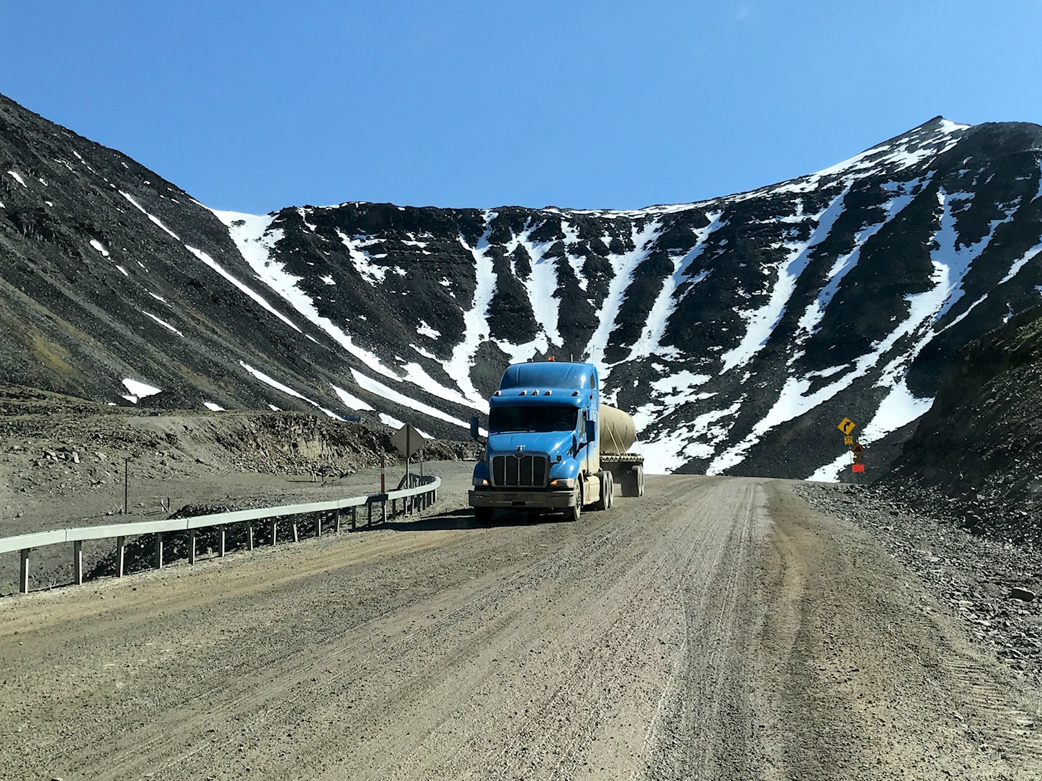
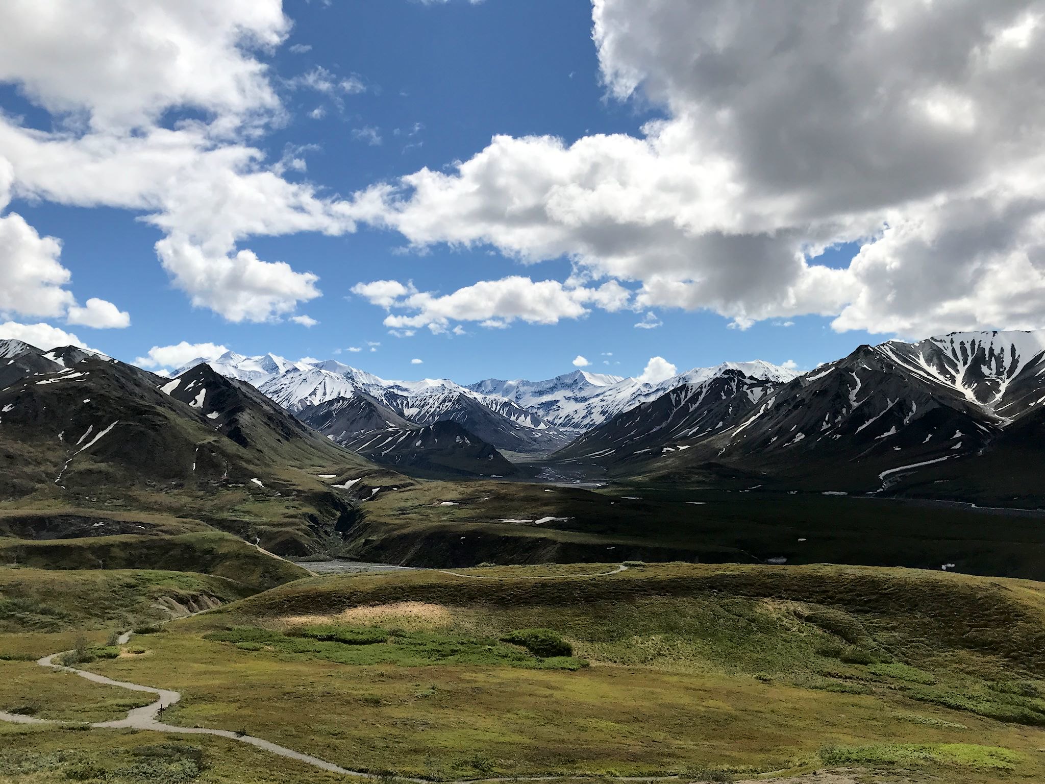
So, who’s ready to hear about another 1600-km (1000-mile) road trip on a mostly great dirt road that totally rocked? It’s actually quite different from the last one. True, Alaska’s Dalton Highway – which we drove in June – and the Yukon/Northwest Territories’ Dempster Highway both provide overland access north of the Arctic Circle. They both involve about 1600 km (1000 mi) of unpaved roads through the wilderness with spectacular wildlife, and they are both the northernmost roads in their respective countries as well as the first (Dalton) and second (Dempster) northernmost roads in North America. They’re both legendary for broken windshields, flat tires and, oh, yes, you could die. Other than that, everything was different.
Continue reading “The Dempster and Inuvik-Tuktoyaktuk Highways”