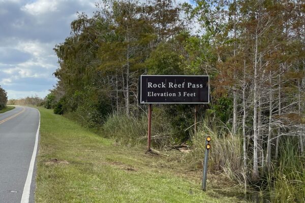
Although we were glad to help my mom through her first-ever experience with surgery (at age 91!), we had to defer the latter 2/3rds of our planned southwest adventure. By the time my mom was stable (which happened very quickly, given the possibilities), there was no longer enough time to get back to any of those southwest plans. But we didn’t really need to rush home. Could we find a different adventure? What if we had planned a trip to the southeast… Is there something we would explore in Florida that we haven’t yet visited on our many family visits to Melbourne? This was a no-brainer – Everglades National Park!
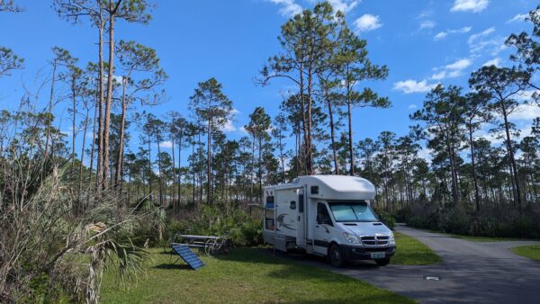
As it turns out, November is primo time to visit the Everglades. Summer – May through October – is the hot and rainy season (mosquitos thrive; humans… not so much). Winter – December through April – is the dry and (very) busy season. November can go either way with the weather. It’s moderately hot, the bugs are on the wane, yet there are few visitors and it is still considered off-season. It is the time when new employees come on board to be trained for the tourist season that will begin when the hordes of snowbirds begin to arrive (around December 1). On our busiest night in a park campground, 8 of the 108 campsites were occupied. There were no lines, no need for reservations. Love the off-season!
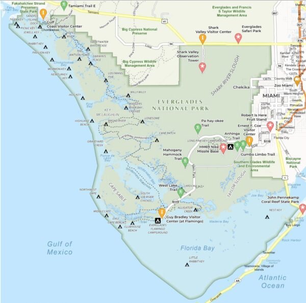
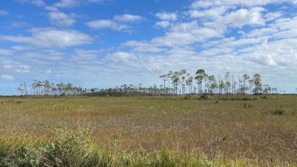
Everglades National Park is unique – there’s no other place like it in the world. It’s the 3rd largest national park in the 48 contiguous US states, after Death Valley and Yellowstone. (The qualifier was added when Alaska became a state with its 7 enormous national parks…) The Everglades park is essentially a giant limestone shelf that is 2/3rds shallow river and 1/3rd shallow bay. The grassy river is 50 miles wide, 80 miles long, and a few feet deep. (Note: The Everglades are not a swamp – swamps tend to be deeper, and the water doesn’t do much moving. Technically, the Everglades’ shallow, grassy river is a huge freshwater marsh system.) The river leaves Lake Okeechobee and makes its way south to Florida Bay, moving at about one-quarter to one-half mile a day. If you put a message in a bottle at the source of the river in Lake Okeechobee (and it didn’t get hung up in the grass), it would take about 200 days to reach Florida Bay.
The limestone shelf is pretty flat, though there is a slope to it – about 8 feet above sea level where the river begins at Lake Okeechobee, to a few feet below sea level in Florida Bay – and small variation (inches) in the depth of the water above the limestone favor very different types of plant life, with dramatic effect on the character of the landscape. (For anyone interested, here’s a fun exhibit on water level and its impact on plant life.) In turn, this varying plant life supports hundreds of species of birds, fish, mammals and reptiles, many found only in the Everglades.
Human settlers have tried to claim and convert the land of the Everglades for agriculture and housing for hundreds or perhaps even thousands of years, becoming especially aggressive with the arrival of European settlers 300 or so years ago – channeling, dredging, draining water, and piling up fill. Unfortunately, the delicate ecosystem of the Everglades has been damaged by each effort to change it. The health and numbers of the plants and animals in the park are significantly impacted by small changes in water levels and flow – quality, quantity, timing and distribution – which affects salinity, temperature, and a host of other variables. These changes effect far more than the local flora and fauna, and the integrity of the Biscayne Aquifer beneath south Florida (which supplies fresh water to most of south Florida) is at risk. Efforts are underway to return as much of the Everglades as possible to a natural state, in part to ensure that the aquifer is replenished faster than it is being withdrawn, otherwise salt water will intrude and it will be destroyed. A big problem… Anyway, let’s move on.
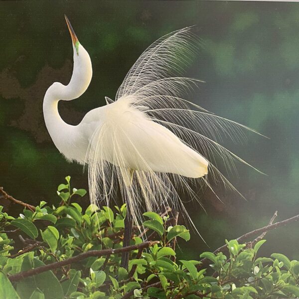
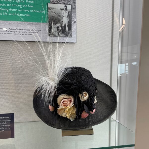
Historically, the abundance of white egrets sprouting spectacular feathers during mating season caught the eye of fashion designers, and such feathers became extraordinarily trendy for ladies’ hats at the turn of the last century. Poachers killed egrets and other shore birds almost to extinction in their quest for quick and easy profit. Guy Bradley, a one-time feather harvester who saw what was happening to the birds, changed his mind, and became a game warden, worked hard to protect the rookeries and deter the hunters. He was ultimately murdered by poachers.
In 1947, the Everglades gained protected status as a National Park, the first national park created specifically to preserve its million and a half acres of land and water in order to protect the wildlife and the incredible biological diversity, in contrast to previous national parks which were created to preserve and protect the spectacular scenery – mountains, geological features, forests, desert lands. However, the wildlife and plant life, the water and the geology of the Everglades, are so closely tied together that, although there likely isn’t a flatter national park in the world, it’s impossible to separate any of these aspects from the others and the variety of things to see in the Everglades surprised us at every turn.
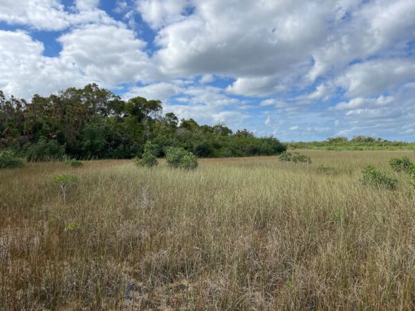
As a side note, it took me 4 days of immersion into the Everglades to understand the terminology. Much of the landscape is the shallow river where saw grasses and other marsh grasses provide an endless view toward the horizon. The view is dotted by places where pine or mahogany grow seemingly out of the grasses. These are raised areas (above the waterline) called ‘hammocks’ or ‘keys.’ The area near our favorite campground – Long Pine Key – is referred to as a ‘ridge.’ Then, I imagined the absence of grasses in the river. HA! The trees would be growing on those spots of limestone that are above sea level and would be islands. Islands are called keys (as in Florida Keys…) around here. The campground is on a relatively large island. Without the grass, it would appear like a ridge from a distance. Light bulb moment.
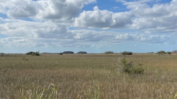
There were other mounds that looked like islands, except they were the opposite of keys. These are called cypress domes, and they rise highest where the water is deep. A cypress seed dropped into a small hole in the limestone could sprout and take root. Each fall, the cypress sheds its leaves into the water below, leaving the water around the tree slightly more acidic, which further softens the limestone and eventually allows other trees to take root. Fast forward a century or so, the depression has become bowl shaped. The trees growing in the center of the bowl have had more space to spread roots, becoming the tallest of the cypress trees, creating the dome-shaped ‘islands.’
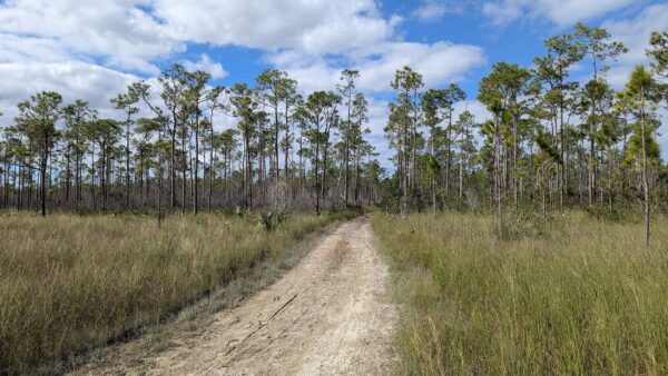
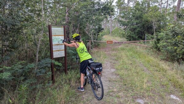
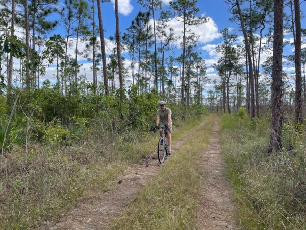
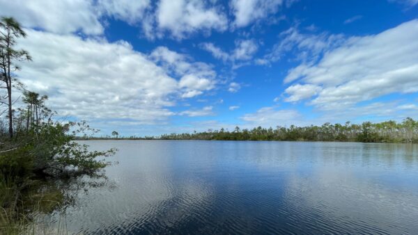
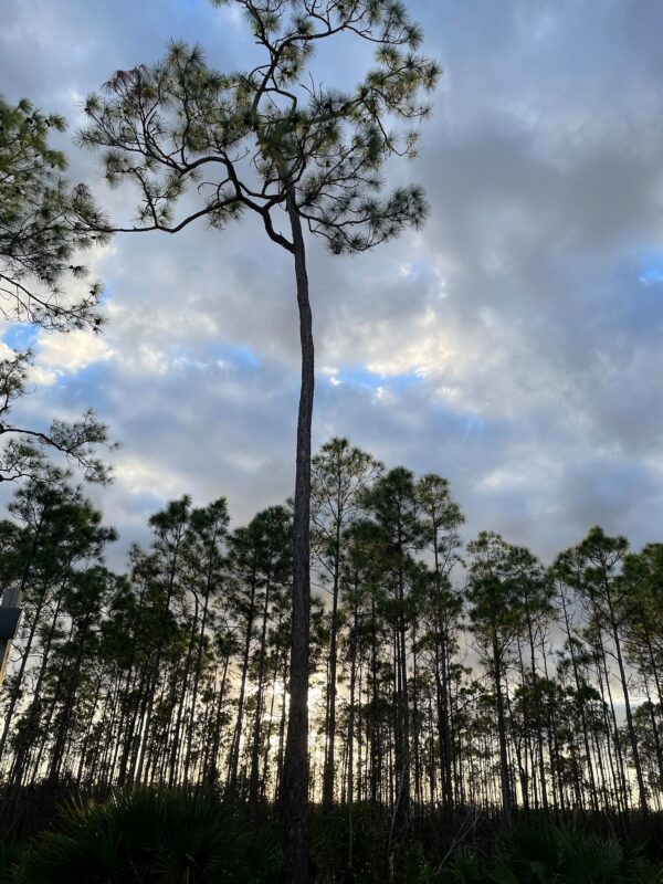
After getting an overview of the park from a helpful ranger at the Coe Visitor Center, we decided to bike the recommended Long Pine Key Trail, which started conveniently from our campground. The mostly slash pine terrain was a wonderful introduction into the geology of the Everglades. We were riding either in a thin layer of marl (chunks of dried microorganisms turned into gray mud) or on limestone. It was easy to imagine the bottom of the river of grass just 1 or 2 feet below sea level! We were surrounded by slash pines and eventually came across Pine Glades Lake. Although there were 2 trails recommended for biking, the slippery mud on one trail was enough for us. (Later we found out the 2nd bike trail was closed, anyway, because too much of it was underwater.)
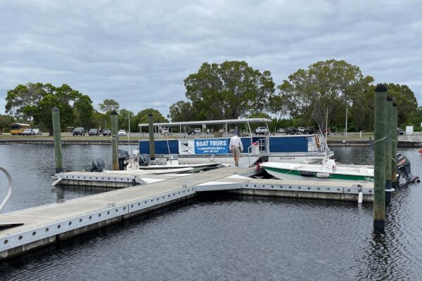
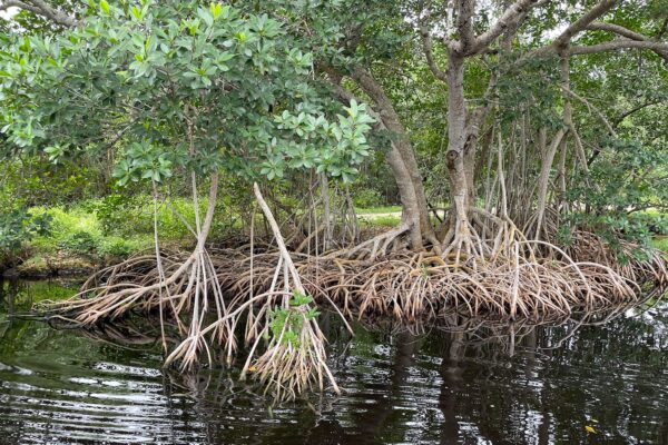
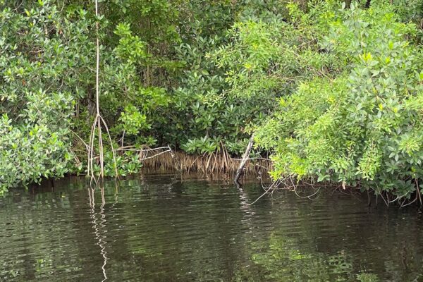
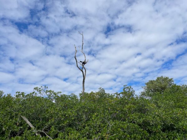
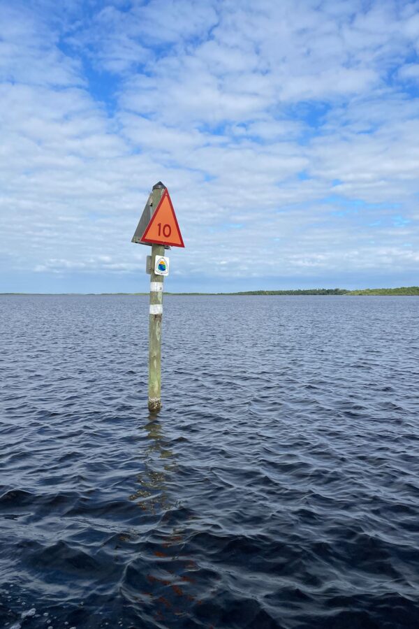
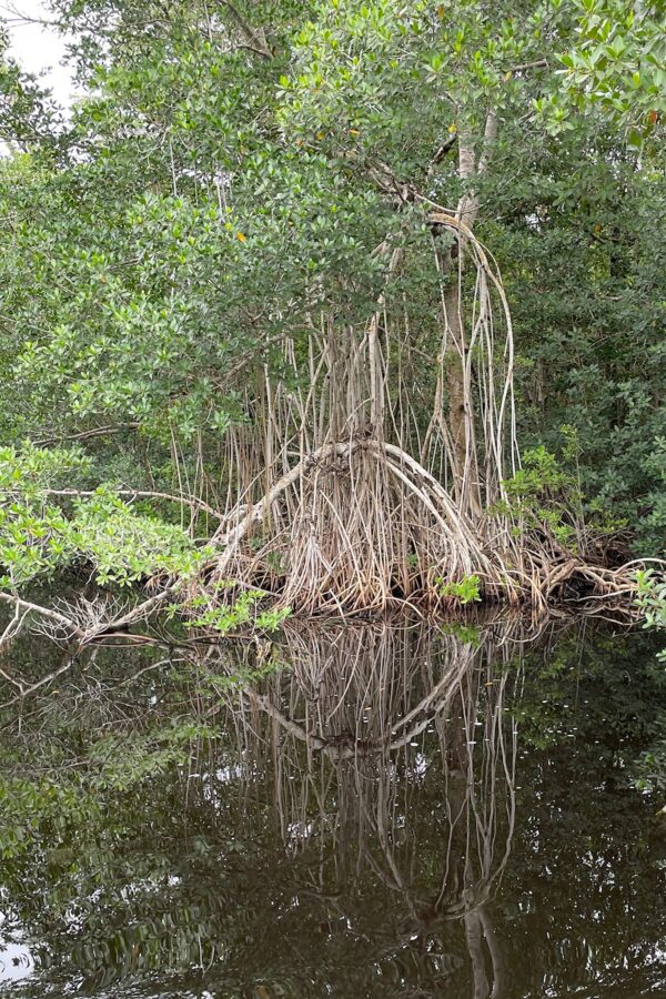
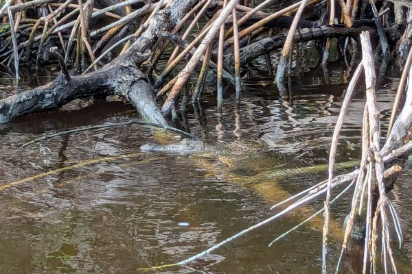
Everglades National Park holds great appeal for boaters, birdwatchers and people who love fishing. To really, thoroughly see these Everglades, we needed a boat… and the ranger-guided backcountry boat tour was awesome! Leaving from the marina at the Flamingo section of the park, Captain Jack took us up the Buttonwood Canal, across Coots Bay, along Tarpon Creek into Whitewater Bay. NP Ranger Riley and Cruise Director Jennifer narrated our 2-hour trip. They took delight in pointing out every bird, fish, tree and reptile of interest, along with fun facts about the park in general. And yes, a young crocodile! About 3 feet long, our guides characterized it as a juvenile.
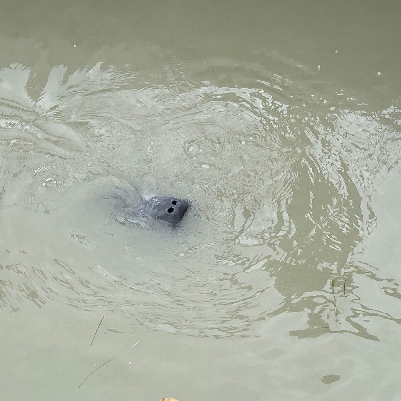
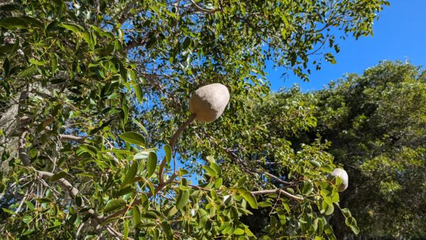
The Flamingo section of the park is at the boundary between the freshwater (backcountry) portion of the park and the saltwater Florida Bay, which extends south to the Florida Keys. There are lots of things to see at this junction, and Flamingo is the only place in the park where we could access them without our own boat and/or lots of effort. We saw a group of manatees lolling about in the very brackish water of the bay, and many, many mahogany trees, which we don’t see much back home. Since crocodiles like salt water and alligators prefer fresh water, Flamingo is the only place in the world where you can see both of these creatures – occasionally interacting! The Flamingo area was created in 1966, so the architecture is distinctive and, well, pink. There is a marina (already mentioned), a visitor’s center (named after the game warden Guy Bradley), a restaurant, a hotel, and a campground.
After our boat tour, dinner at the restaurant (splurge!) and a night at the Flamingo campground, we set ourselves the ambitious-sounding goal of hiking every open trail along the Main Park Road, on out return to Long Pine Key. Lest you think we’re crazy old geezers for trying this, let me remind you this park is known as a haven for boaters (not hikers), and the highest point in the park is 8 feet above sea level. ‘Every open trail’ added up to just about 5 flat miles. Add in some walking to and between trailheads, and we enjoyed a total of 6.5 miles of hiking.
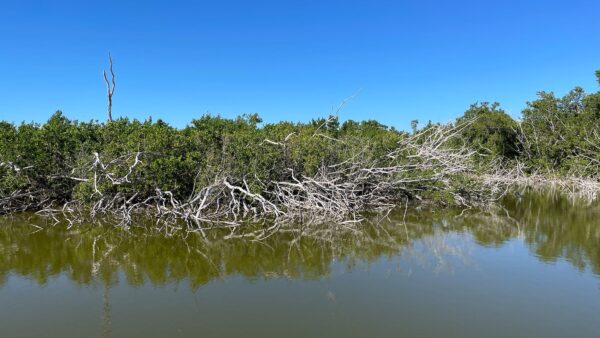
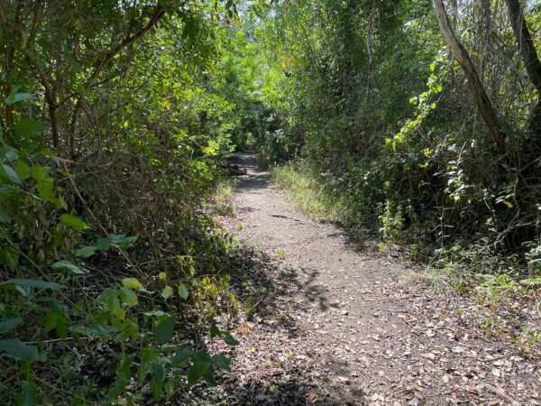
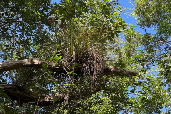
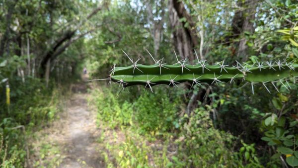
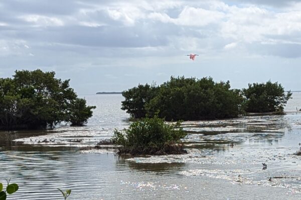
Eco Pond, an isolated body of fresh water close to Florida Bay, helped us understand how the Everglades are constantly changing as water between the 2 continues to vary in salinity causing death and rebirth of different plants and trees. The Snake Bight Trail (a bight is Everglades-speak for a bay within a bay, so this trail ended at the Florida Bay) allowed us to get closer to the different trees identified on our boat ride – mangroves, hardwoods, air plants, and cacti (!) – along with a variety of shore birds once we reached Snake Bight. Yes, we saw several snakes, and a couple of bright pink Spoonbills.
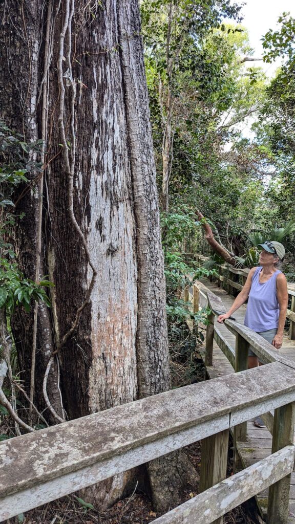
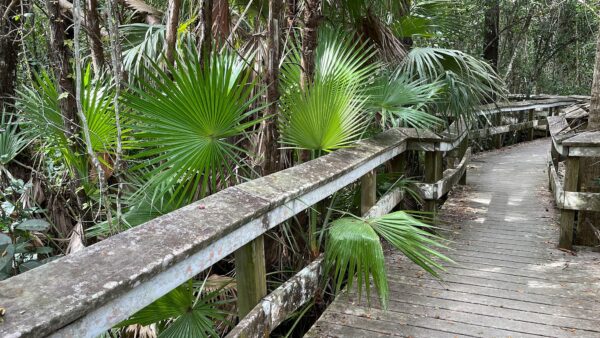
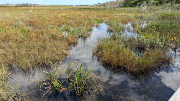
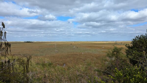
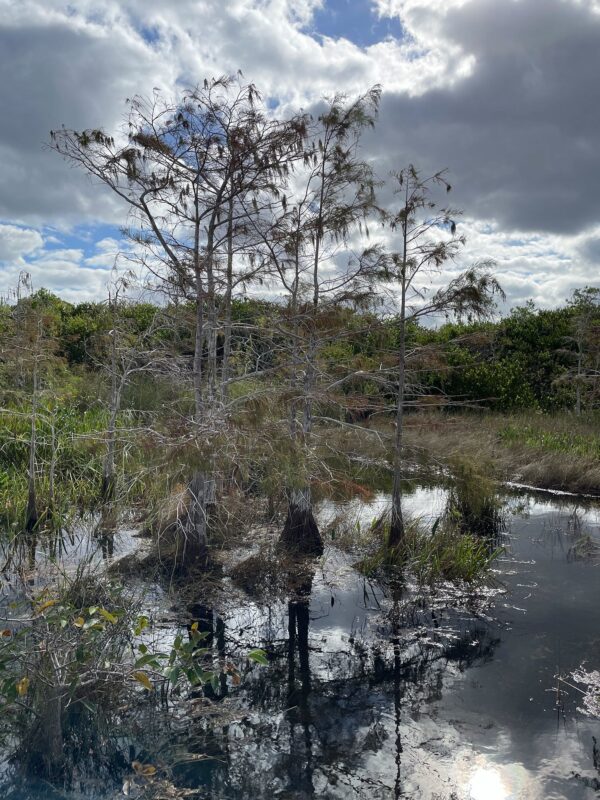
The boardwalk on the Mahogany Hammock Trail took us past the largest mahogany tree in the park and along the low, beautiful sandal palm trees. The best view of cypress trees, domes and endless saw grass prairie was from the observation platform at Pa-hay-okee. The slash pines along the Pinelands Trail reminded us of the pines in our campground.
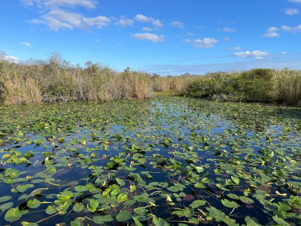
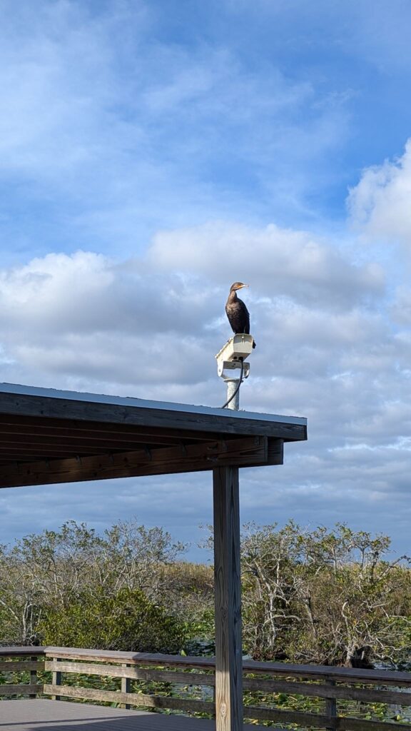
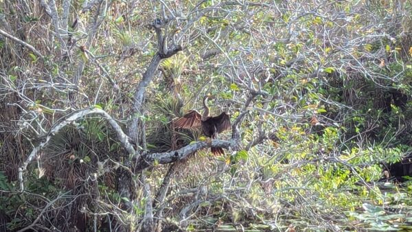
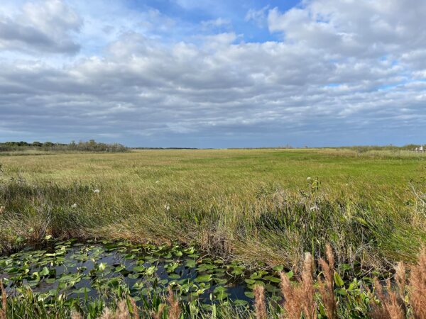
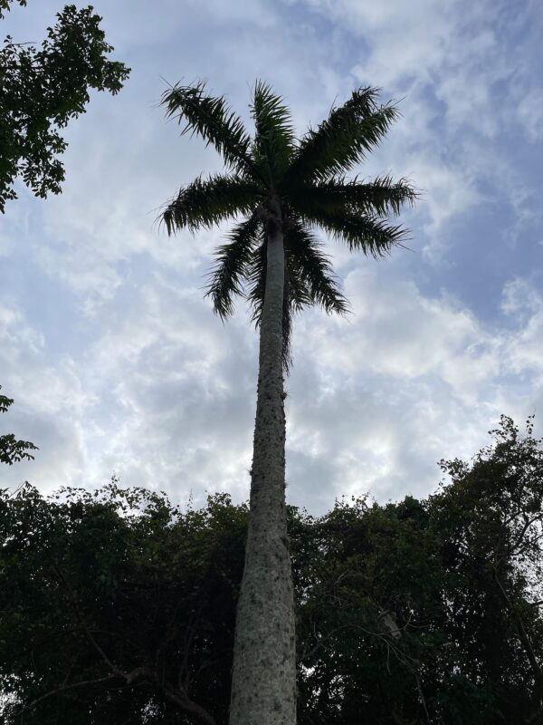
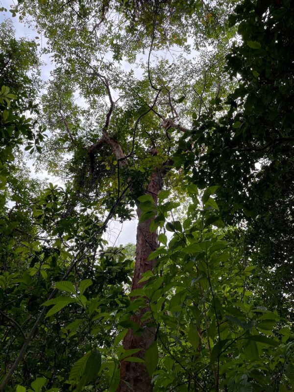
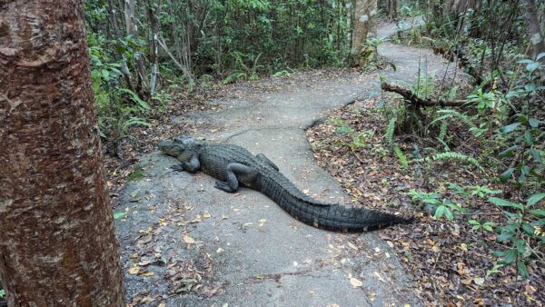
Named after the bird of the same name, the Anhinga trail over delivered on wildlife. There we saw fish, turtles, birds (including several anhingas), lizards, and one giant grasshopper. The boardwalk alongside a canal and pond filled with lily pads provided lots of views, including across a nearly endless freshwater marsh. Named after the tree of the same name, the Gumbo Limbo trail provided plenty of opportunity to see this pretty, red-barked tree. And, in the last 50 feet of the 6.5 miles of hiking we did this day, we were greeted by a 12-foot long alligator resting across the trail. After a while, it got up, walked down the trail a few yards, and laid down across the trail again to rest. Hmm… After watching 2 other hikers make a slow, wide pass around the alligator (and survive!), we got our confidence up to pass. The alligator may have blinked its eyes, otherwise it didn’t move as we finished up the hike. (At this point, we’d been in the Everglades National Park for almost a week, and this was the first alligator we’d seen. It was huge! We didn’t know much about these beasts, or their behavior, or how aggressive they are, and for us this was a major, big deal event. However, this was not the last alligator we’d see in south Florida. Just sayin’…
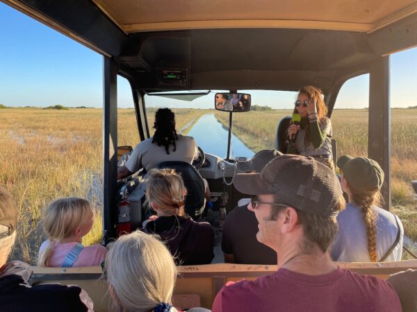
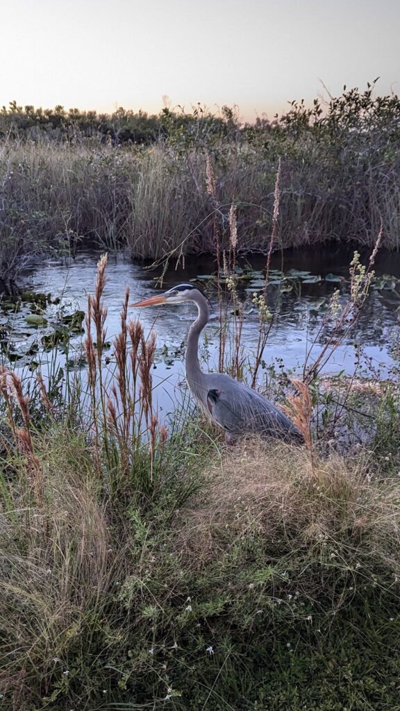
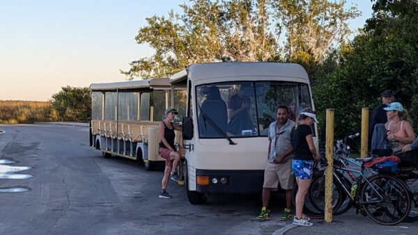
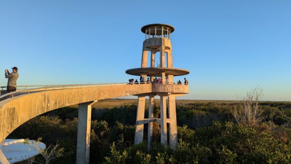
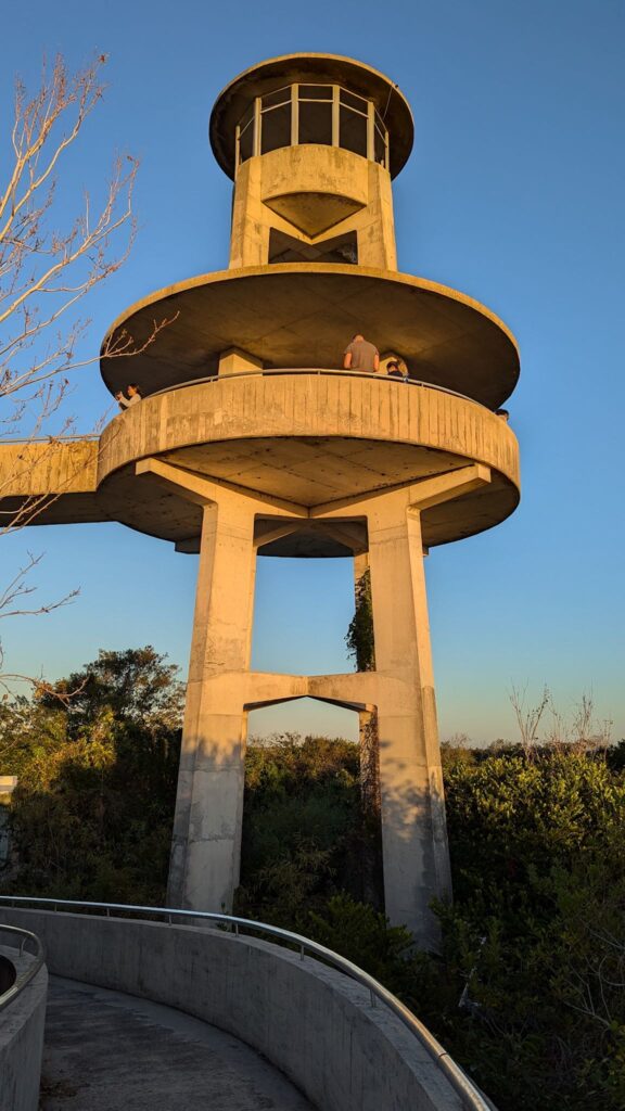
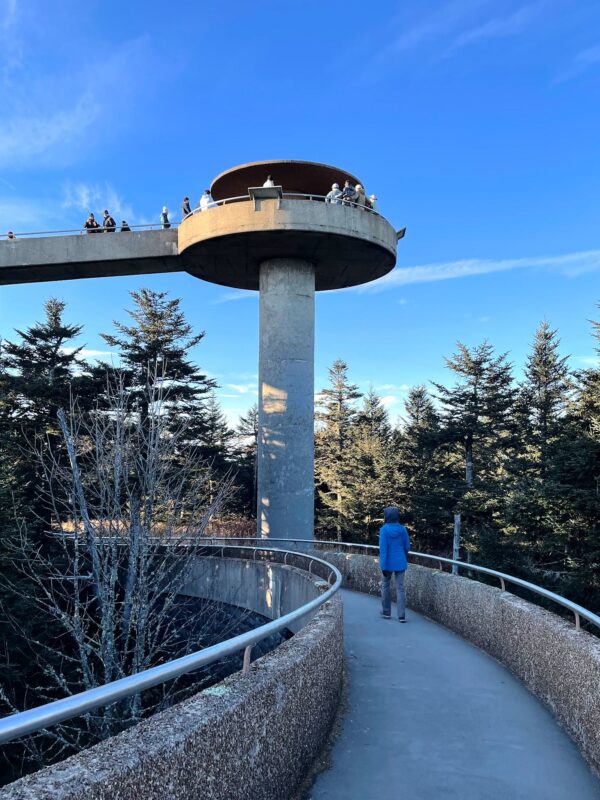
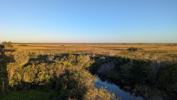
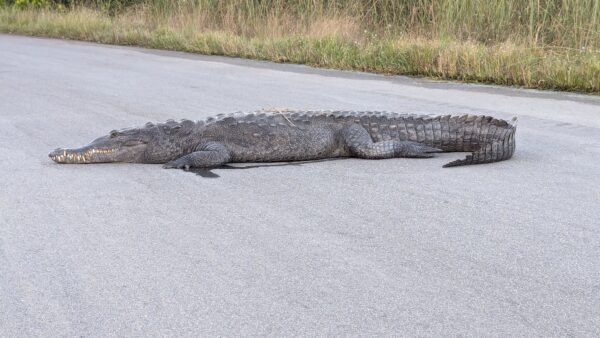
After a well deserved rest/chill day and an excellent adventure side trip to Key West, we moved on to visit Shark Valley at the northern edge of Everglades National Park. There we hopped on the day’s last ranger-lead Tram ride, which took us deep into the Everglades, near the start of its long and wide flow. Now, we hadn’t planned to be on the last trip, however it turns out a lot of critters are active right around dusk. Rick, our fearless Tram driver had to just keep on driving by alligators all up and down the road – stopping to see and/or photograph every one of them would take us too long. With commentary and ongoing stories from Ranger Kelly, we saw a wide range of birds en route to the furthest point on our route – the Observation Tower, which rises 65 feet above the flat river prairie grass. (Interestingly, the Park Service built 2 observation towers as part of the Mission 66 effort to expand the Park Service – one at Clingman’s Dome in the Great Smoky Mountains National Park, and another in the Everglades National Park.) And don’t’cha know it, as we were leaving to return to the Shark Valley Visitor Center, we spotted a 12 foot crocodile relaxing across the road! Rick suggested we got our cameras ready as when we drove by, it would likely casually walk away. Yup, he’s done this before.
For anyone who’s interested, more Long Pine Key, Flamingo, backcountry boat tour, Main Park Road hiking and Shark Valley pix…
