I think people are often drawn to beaches or to mountains. There’s no doubt that Doug and I are drawn to mountains. We’ve not vacationed in the islands (Newfoundland doesn’t count) or on beaches in our 40 years together. Of all the times we visited my parents in Melbourne, FL – their chosen retirement location – in the past 30 years, we’ve likely actually intentionally gone the 4 miles to the beach a handful of times. (Except for ice cream – my mom’s and my favorite ice cream shop is a block from the beach.) So let’s just say that the Florida Keys have not been near the top of our bucket list. Still…
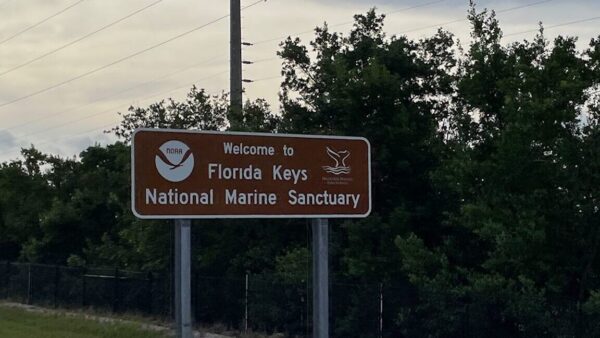
Still, there is something about these Florida Keys that teases our curiosity. What are they? What do they look like? Who would live there? What would the towns be like? Would there even be beaches? Since the road to the Keys started about 10 miles from our camp in Everglades National Park, we decided to take a day and drive out to Key West.
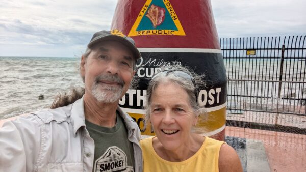
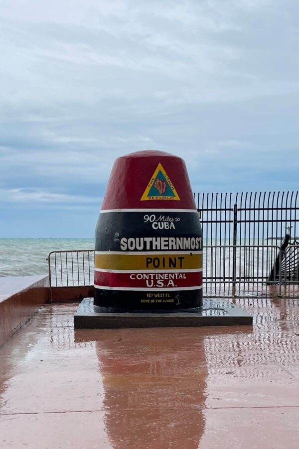
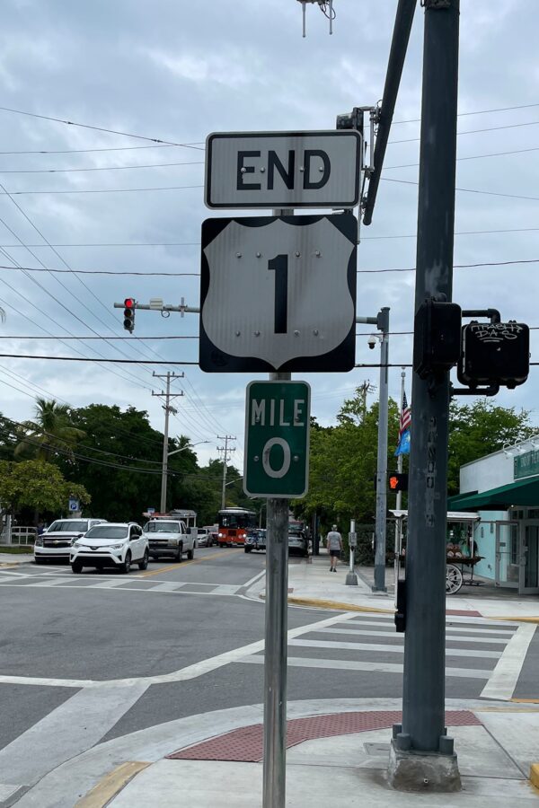
Oh, in addition to satisfying our curiosity, our loyal readers know that we have a penchant for end-of-the-road towns and geographical superlatives. At the end of this road is Key West. We can visit at once the largest city in the Florida Keys, the southernmost point in the continental US, and the end of US Highway 1 (the longest north-south road in the US). We’ve done bits of US 1 in our travels, including in Maine this past June, although we’ve not been to its northern terminus in Fort Kent. Yet.
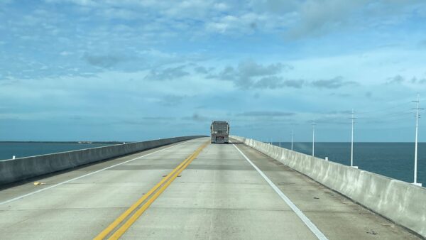
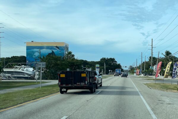
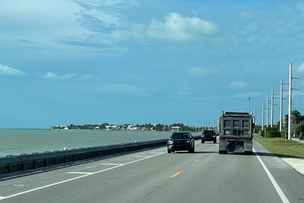
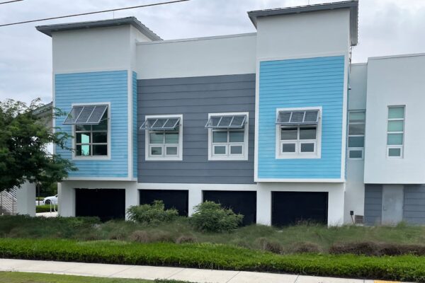
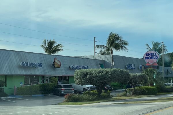
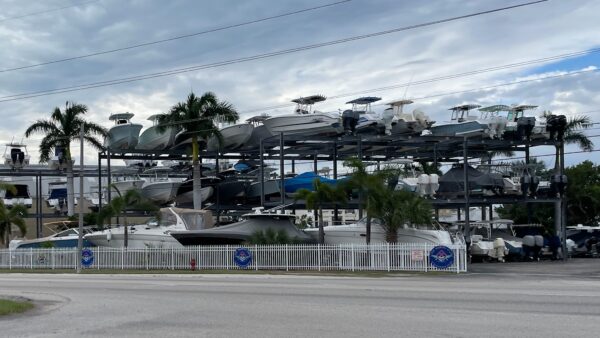
It was a pleasant drive, mostly on Highway 1. There was the expected array of gift shops, surf shops, small restaurants, tiki bars and marinas. Some towns seemed to be more residential or commercial or touristy. A few things that caught our attention were the number of boats stored (versus ready to go in marina berths) and the number of 2- and 3-story boat storage units. It was also interesting (although not surprising) to see so many structures – commercial and residential – built on stilts to withstand the regular bouts with high tides and high winds.
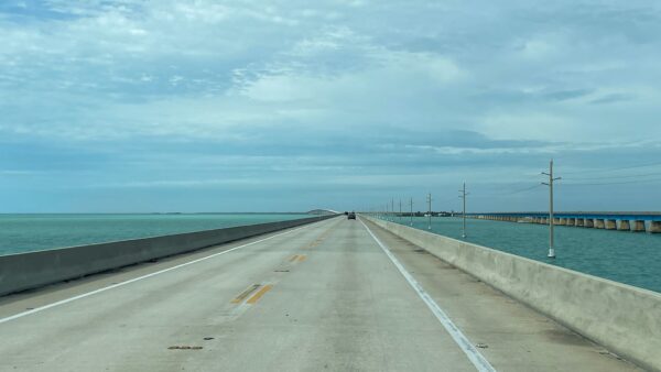
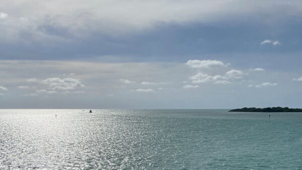
The bridges between islands- 42 of them – were fun. They ranged from simple, flat, concrete elevated roads along the water to tall arched spans over the water with awesome views of the Atlantic, Florida Bay and the Gulf of Mexico. Remains of older, decommissioned bridges are visible in multiple places. Some have been converted to bike/walking paths and/or fishing platforms while others remain for historical/economic purposes.
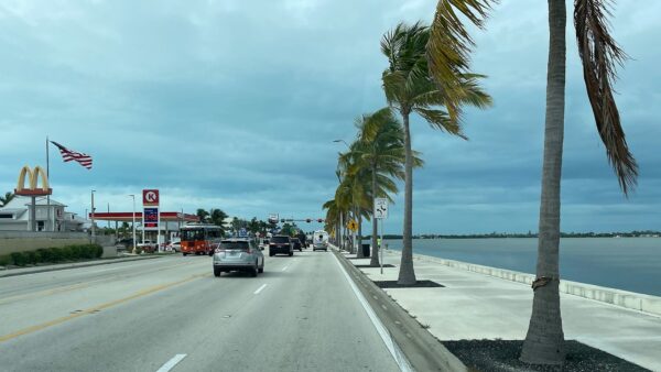
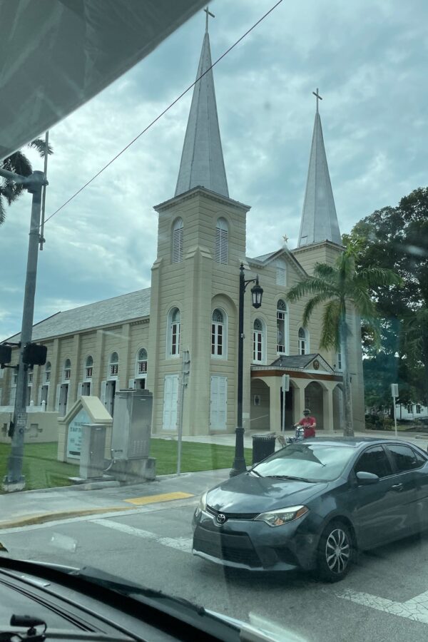
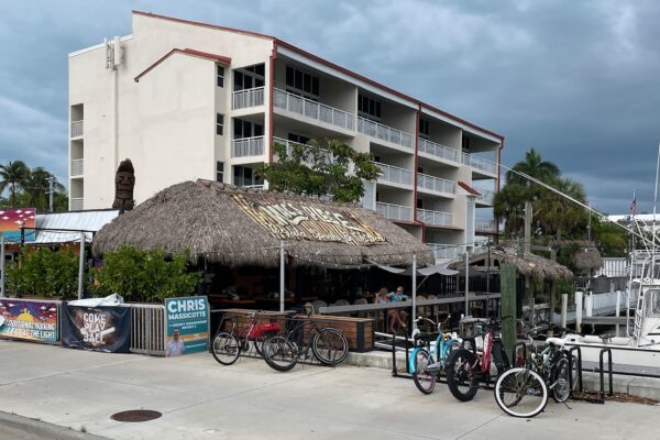
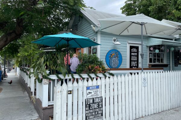
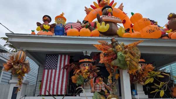
At the end of the road, Key West (full time population 25,000) is a serious city with a city hall, high school, and 85 churches. Small beach cottages are mixed in with pretty houses with lovely porches and lots of small B&B’s among the inns and hotels. It’s quite a popular place, seeing approximately 5 million tourists each year.
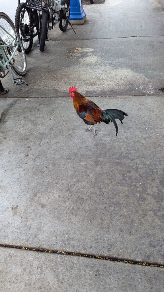
Key West has a super party beach town vibe. The city boasts 300 bars and the main drag, Duval street, is a mile-long pub crawl. At noon, there was music in the air emanating from half of them, including a good amount of live music. Curiously, there are feral chickens (roosters, hens and chicks) wandering everywhere in town. And we’re not alone with the superlative thing… the biggest crowds we saw were those waiting in line to take photos of themselves at the southernmost point marker! We were pleased with our short visit. And then we realized we forgot to check out the beach…
For anyone who’s interested, more Florida Keys pix…
