
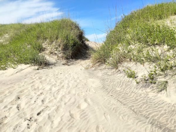
We’d never been to the Outer Banks. What are these things? What’s out there? They are a chain of long, thin islands shielding the coast of North Carolina, although they’re not normal islands. They’re more like sand dunes, evolving by the minute from the wind, tides and waves, and slowly shifting the Outer Banks south and west over time. They’re long, over 100 miles (the inlets between the islands close up and form anew in different places with time and the storms), and quite narrow, from a few hundred feet to 3 miles wide, and they are low, with an average elevation of 12 feet above sea level.
The earliest inhabitants made a living from hunting (mostly fowl) and fishing. They settled in the wider spots along the islands and were eventually joined by throngs of part-time residents and tourists looking to enjoy all that the Outer Banks offer – fishing and hunting, of course, plus surfing, kayaking, camping, wind surfing, all kinds of golf (regular, disc, and mini), biking, running, eating (especially fudge and seafood), laser tag, go-karts, … you name it. Also there are birds to watch, lighthouses and historical sites to visit, and long stretches of beach to walk.
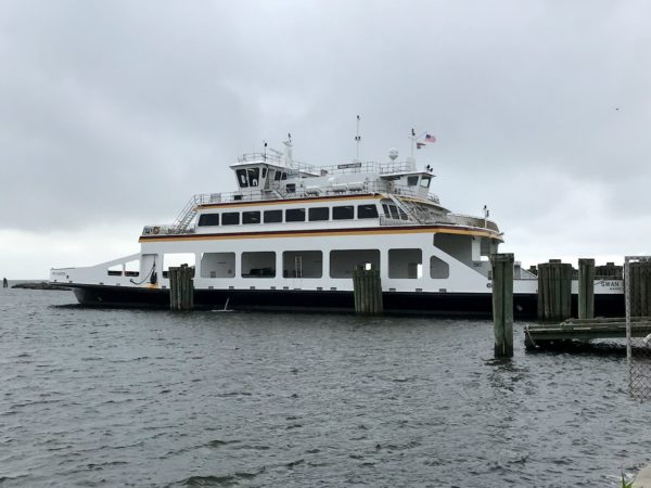
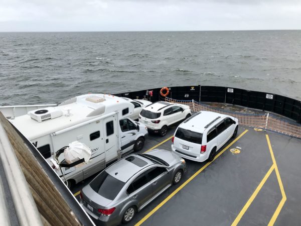
Getting to the Outer Banks started for us with a 2.5-hour ride on the ferry from Cedar Island to Ocracoke. Then, a little further up the road, there’s a shorter (1-hour) ferry that connects Ocracoke Island with Hatteras Island. The National Park Service protects the Cape Hatteras National Seashore.
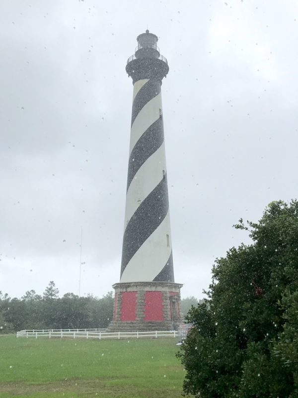
Cape Hatteras Lighthouse 
Bodie Island Lighthouse
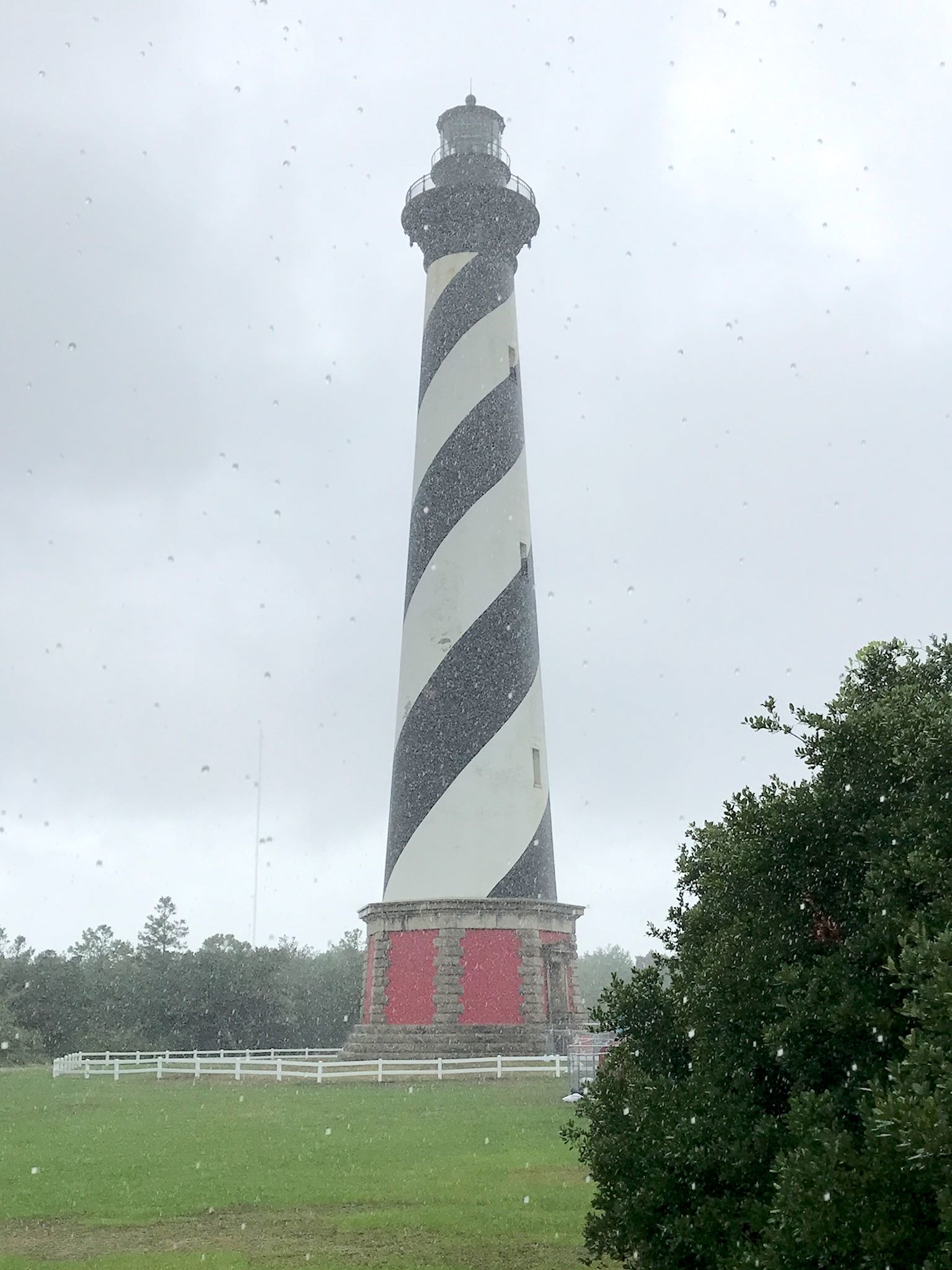
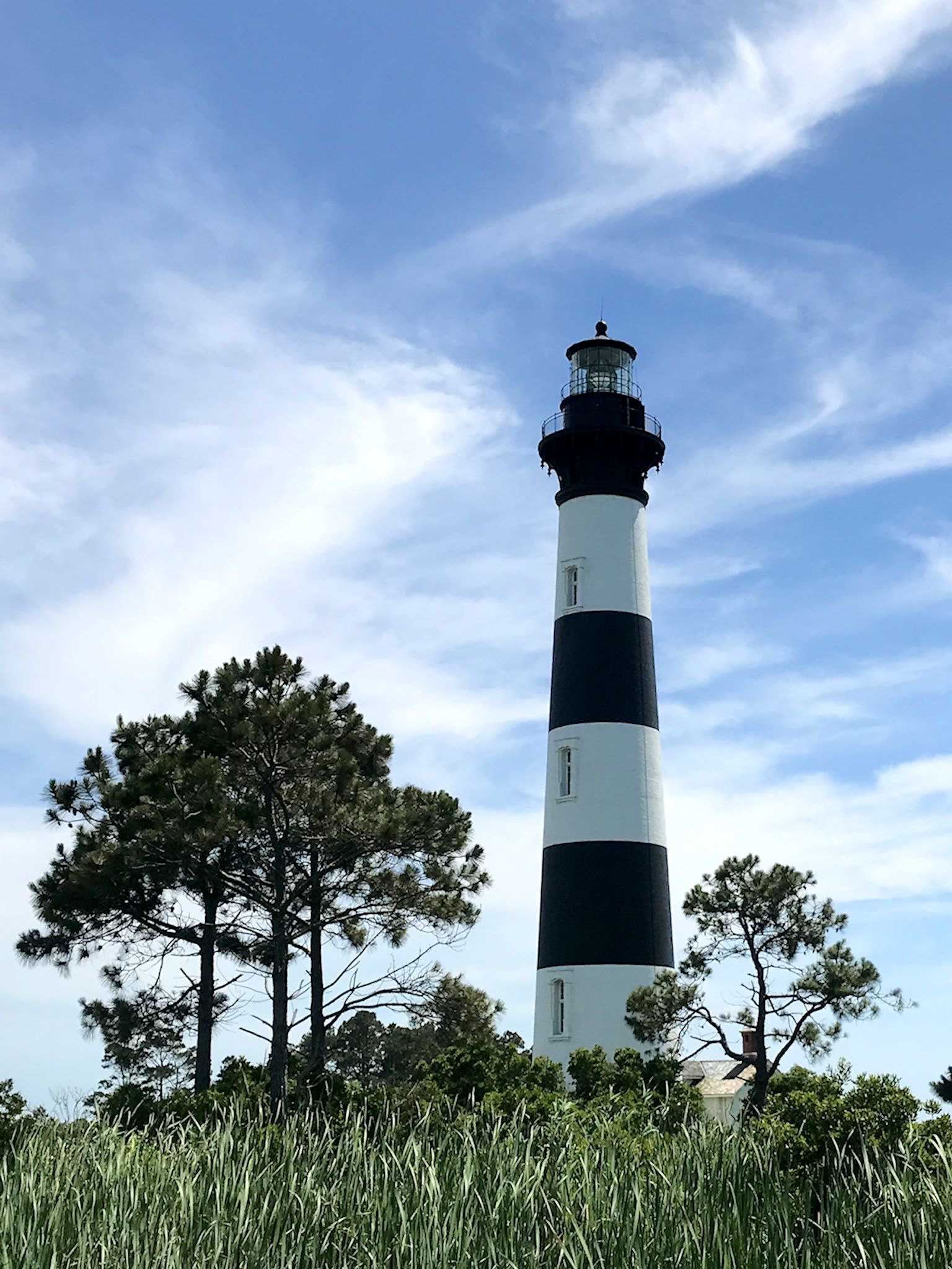
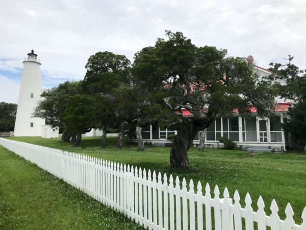
Shifting sand dunes indicate similar sand movements underwater – sand bars and shallow sounds. That is why the Graveyard of the Atlantic, with a historic number of shipwrecks, is just off the shore of Cape Hatteras. Needless to say, lighthouses are prominent on the islands. We visited three of the famed Outer Banks color-coordinated lighthouses. Ocracoke Light in Ocracoke is the oldest operating lighthouse in North Carolina, built in 1864. The Cape Hatteras Lighthouse in Buxton is the tallest brick lighthouse in the US at 210 feet. It’s also one of the tallest masonry structures ever moved. (Summary: when the shifting sands allowed the surf to reach within 15 feet of the base of the lighthouse it was transported about half a mile further inland.) Bodie (pronounced ‘body’) Island Lighthouse is one of the few lighthouses left in the US with an original first-order Fresnel lens shining its light out to sea (and quite visible during the night to all of us at the Oregon Inlet campground!).
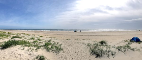
Along the skinnier sections of the islands you can catch amazing views of the Atlantic Ocean to the east as well as the Sounds to the west, from the same spot. For most of the drive along Route 12, sand dunes sparsely covered with grasses were teasing us and calling us to follow the footsteps up and over to the beach that stretched over a hundred miles. We did hike between the dunes from our campground near Oregon Inlet to find a nearly empty beach for an awesome long walk on a hot and breezy day.

The life-size bronze replica of the 1903 Flyer 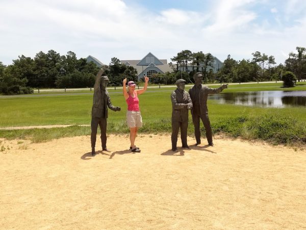
Friends cheering on the first flight
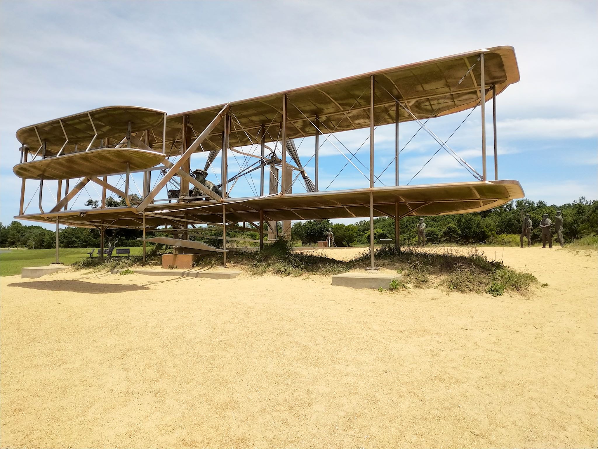

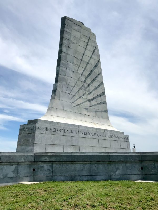
Kitty Hawk is one of the best known towns on the Outer Banks due to a pair of its most famous part-time residents – the Wright Brothers – and their first flight. The National Park service highlights the brilliant and determined work of the brothers to fly with several indoor and outdoor exhibits. Atop a knoll overlooking the site is the Wright Brothers Monument with this inscription: In commemoration of the conquest of the air by the brothers Wilbur and Orville Wright conceived by genius achieved by dauntless resolution and unconquerable faith.
More photos of the Outer Banks, and the Wright Brothers National Memorial.