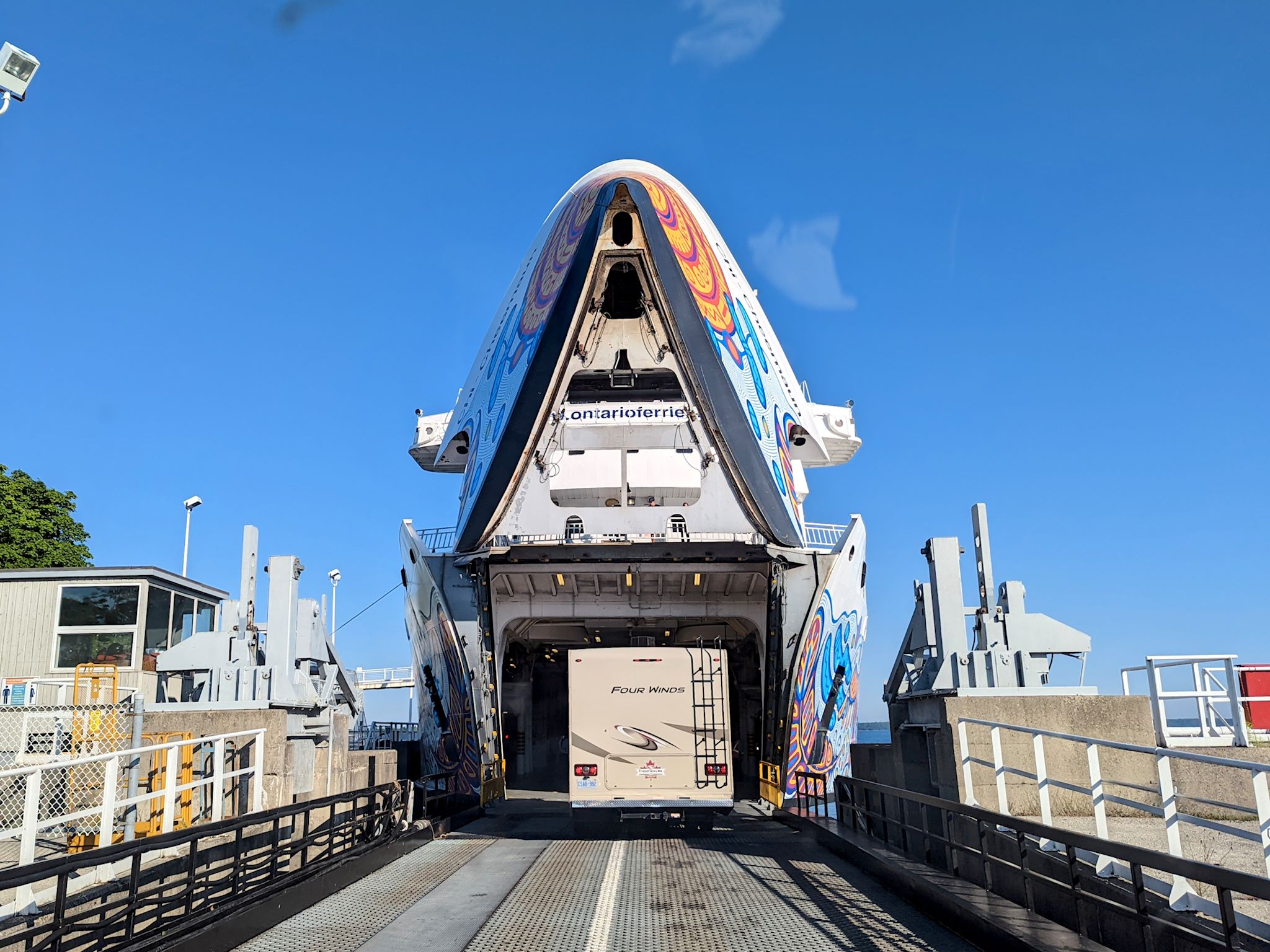
Look at any map of Ontario, and there’s a curious island at the north end of Lake Huron. It’s Manitoulin Island and we’d never heard of it. And it has a dotted line attached to its southern shore. Ferry! This needed some research.
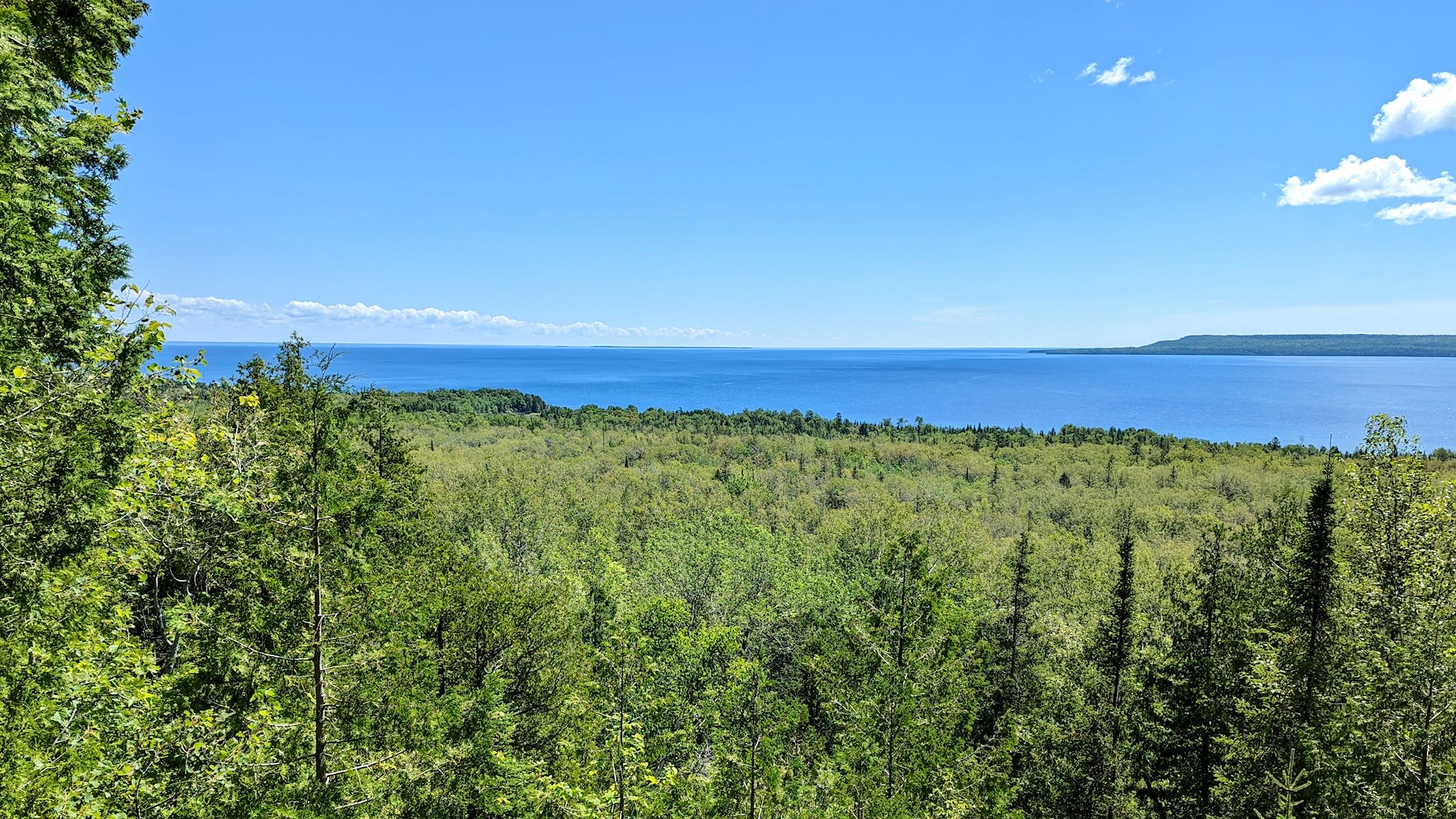
It turns out Manitoulin Island is the largest island in a freshwater lake in the world. Interestingly, Manitou Lake (in the photo above) is the largest freshwater lake on an island in the world. The population (13,000) is a healthy mix of people of indigenous and European descent. Politically and culturally, the island is in North Ontario. Geologically – the Niagara Escarpment runs through it – it’s an extension of South Ontario. There are only 2 ways on or off the island – a swing bridge from Little Current to the mainland, and a ferry to and from the Bruce Peninsula that runs only in the summer. It sounded to us like a unique place worthy of exploration…
We got off the ferry at South Baymouth and immediately zigged where others zagged. We noted 97.8% of the cars took a right onto Highway 6 coming off the ferry, heading to the resorts, camps, and for at least a few, the bridge off the island which cuts 3 hours of driving time and fuel from the overland route to get to points north and west. We immediately turned left on a side road. We had reservations in Meldrum Bay as we were looking for an out of the way place to spend a quiet weekend. That gave us all day to do the 1.5 hour drive. Time to poke around a bit.
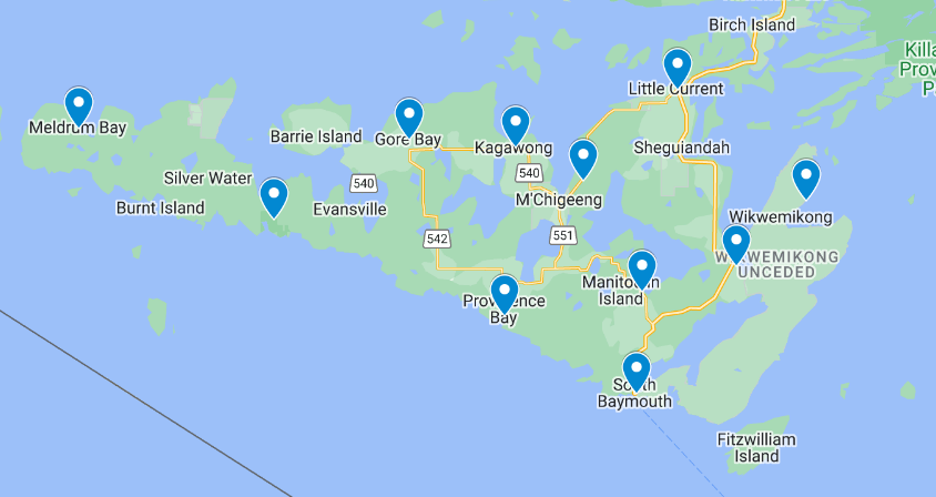
On the ferry, we found a great tourism map and newsletter detailing the highlights of the island. We circled a few on the map, deciding to check out some of the beaches/bays, hiking trails (of course…) and some of the unique offerings on the island. As we talked to locals and learned more, the number of circles grew.
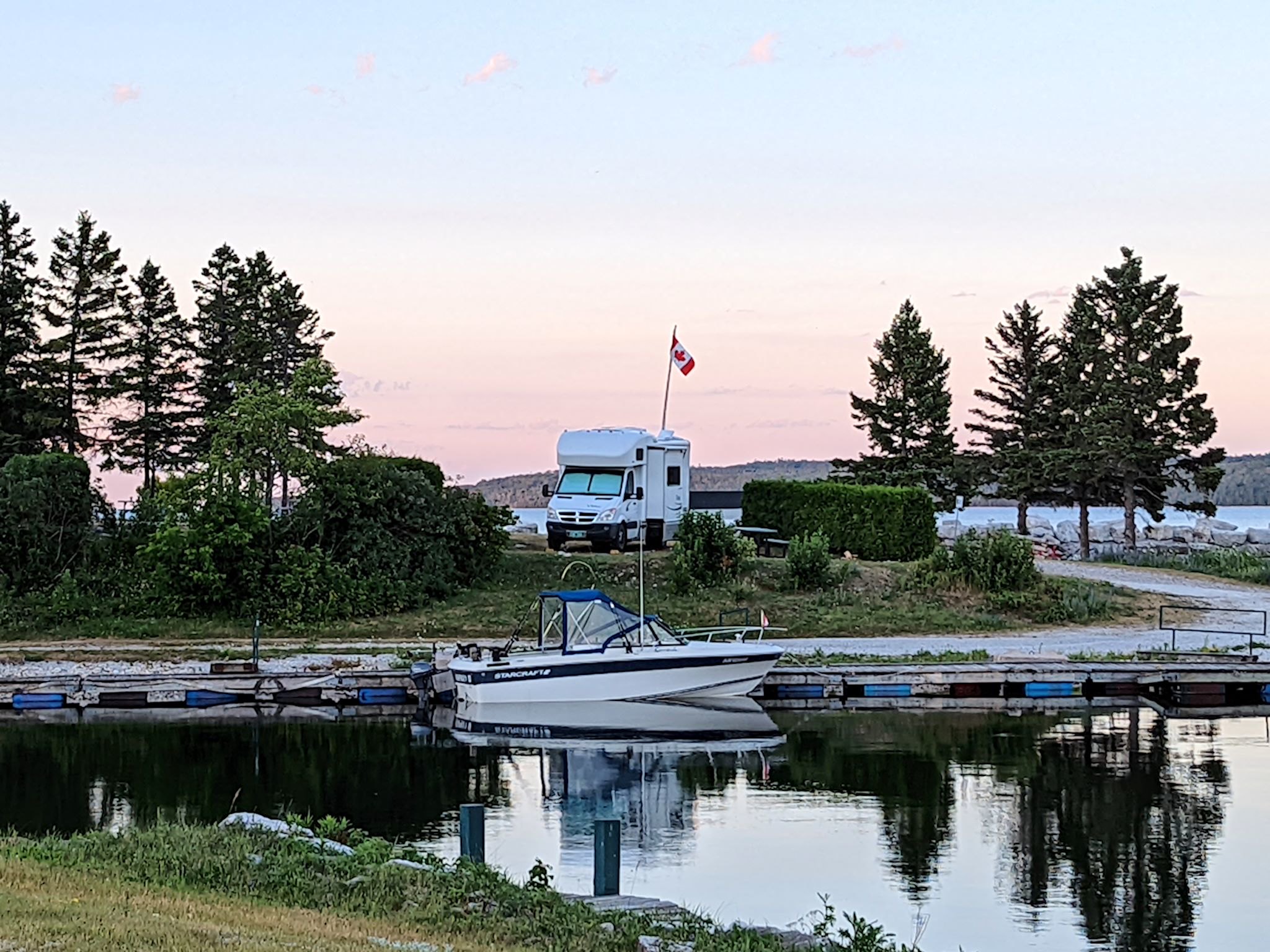
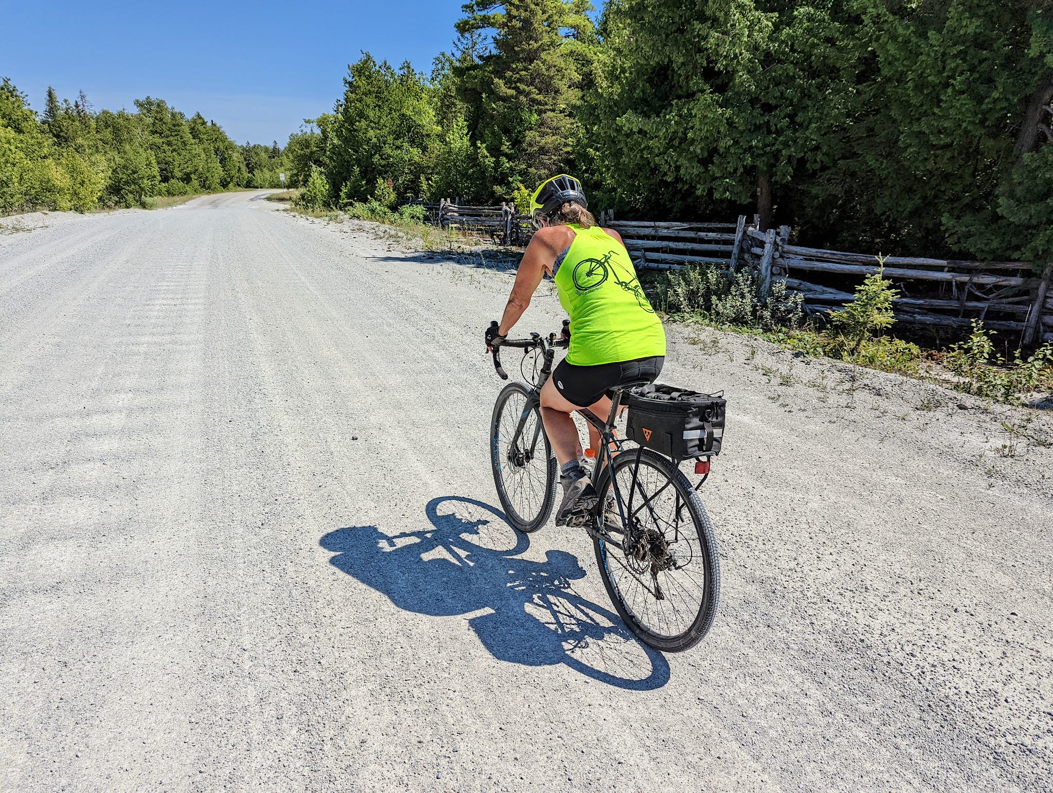
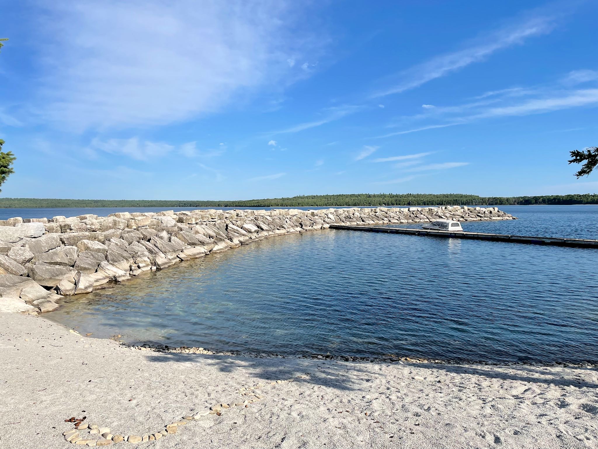
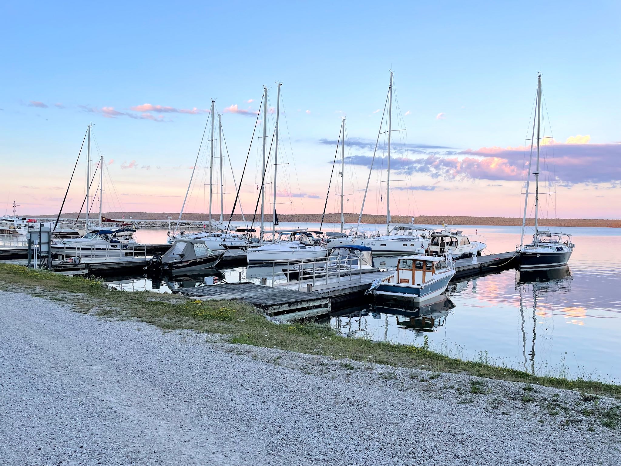
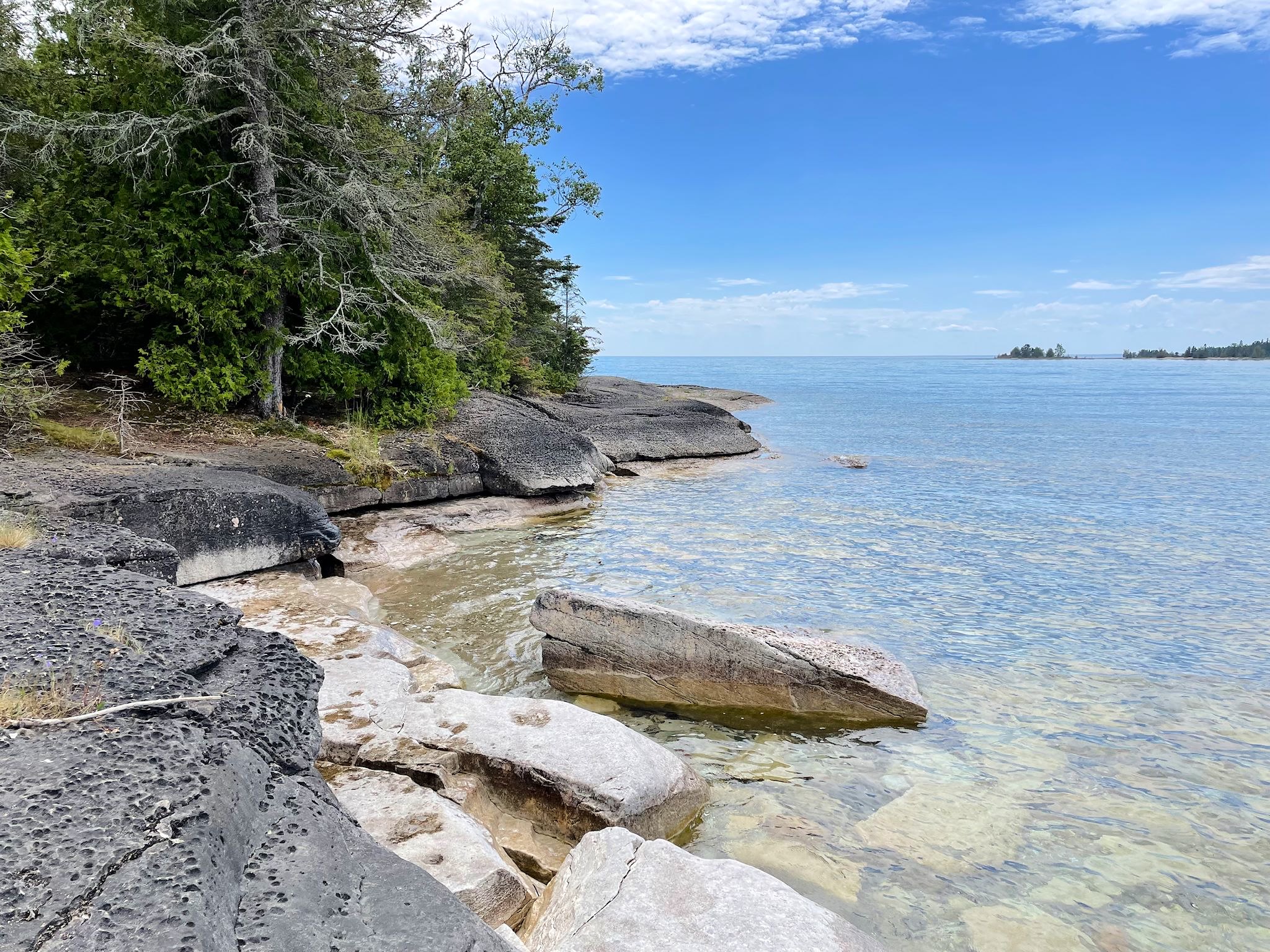
Meldrum Bay, at the far west point of Manitoulin (our loyal readers will know we have a penchant for end of the road towns) was a great place to chill. The town (pop low double digits) consists of an inn, general store, church, community hall, marina and campground (we saw them all!), plus a smattering of houses. There are delightful views from everywhere! There’s a limestone quarry in town, hence, lots of limestone, including the beautiful breakwater and miles of crushed limestone roads at the end of the island which were great for biking.
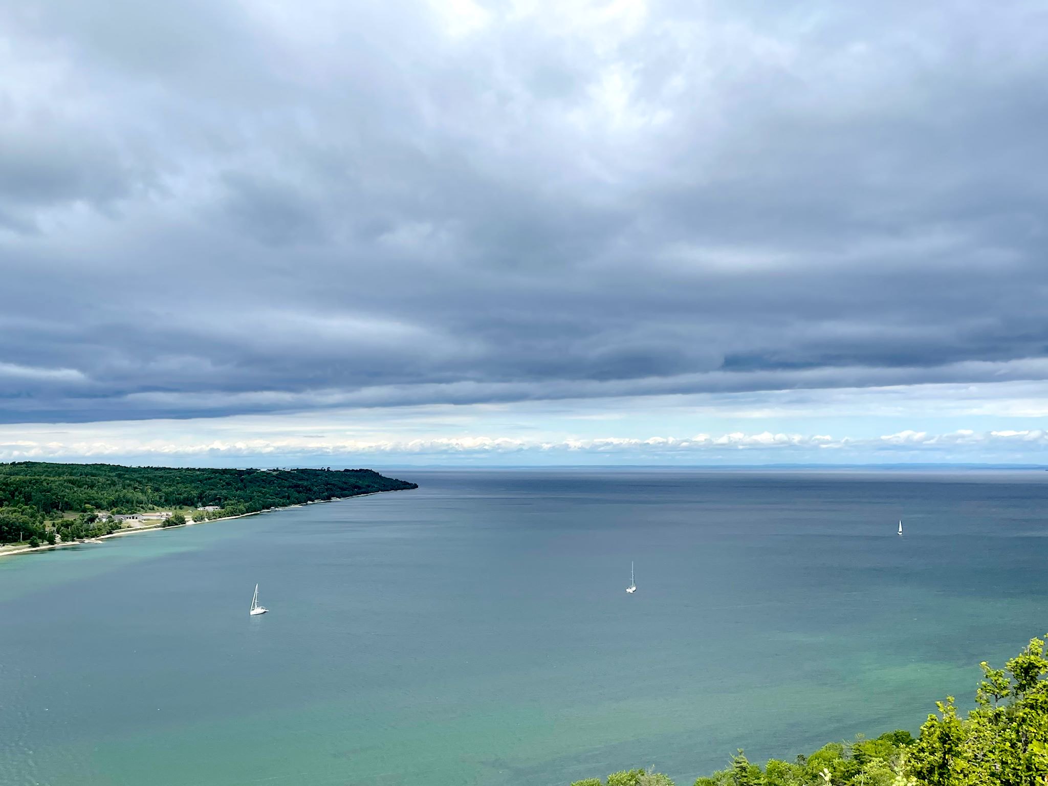
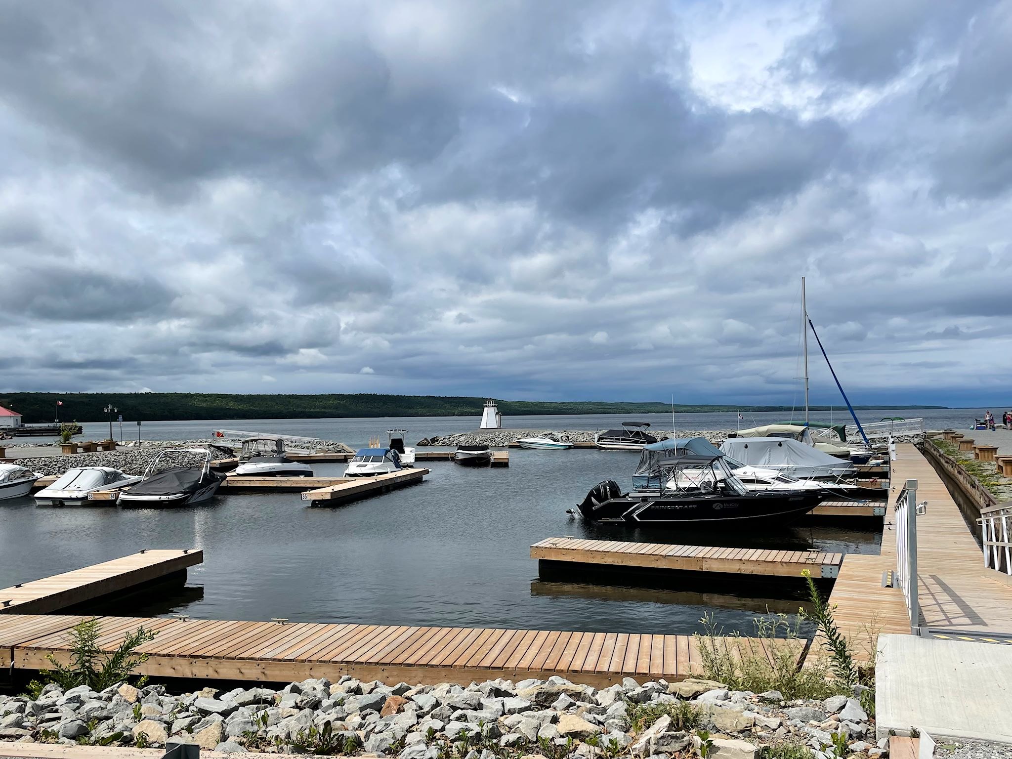
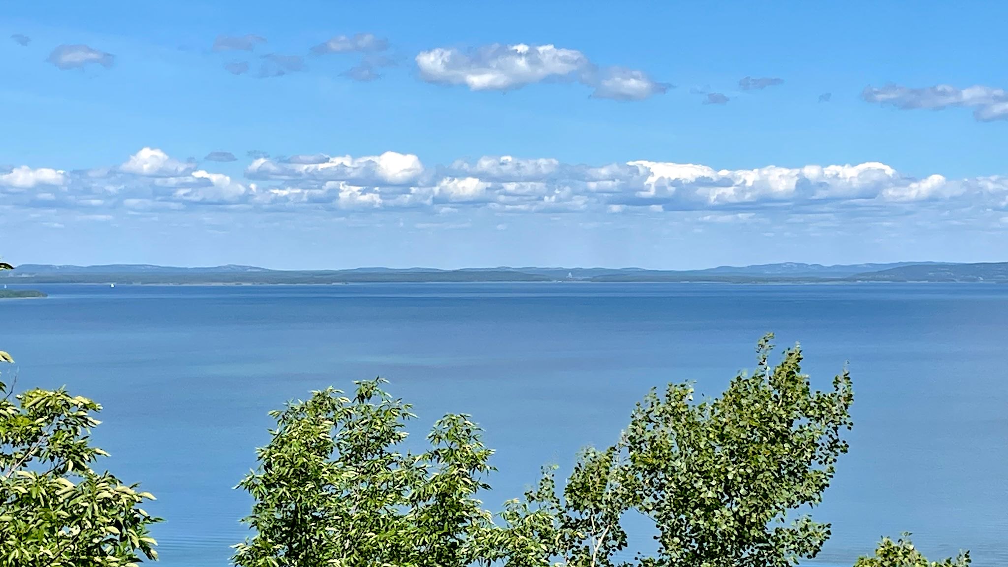
We arrived in Gore Bay on a cloudy day to find a huge marina and a walking path to a ledge above town. The views from the ridge were beautiful, including the different shades of emerald in the bay and the grey skies as a storm was coming in.
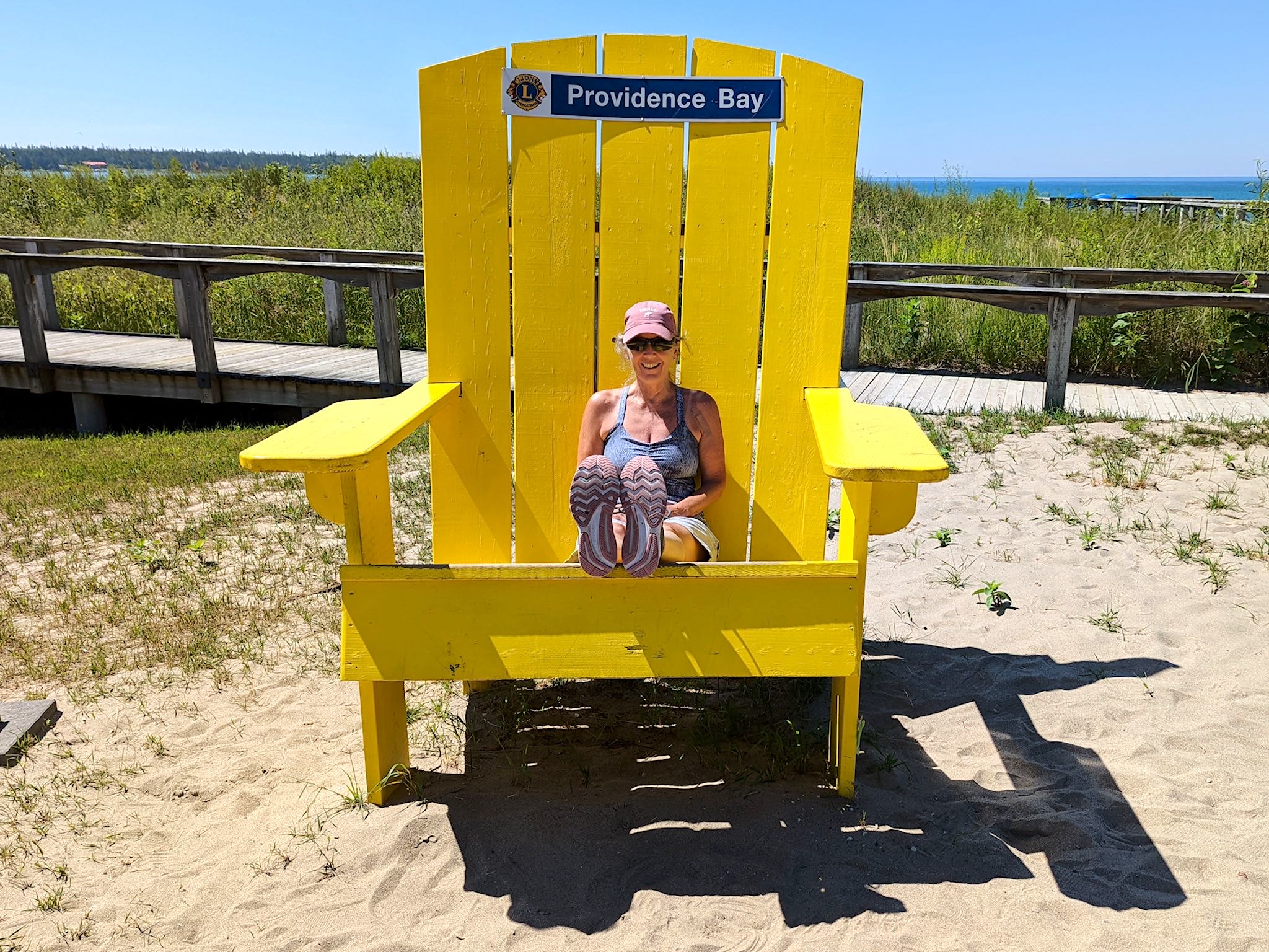
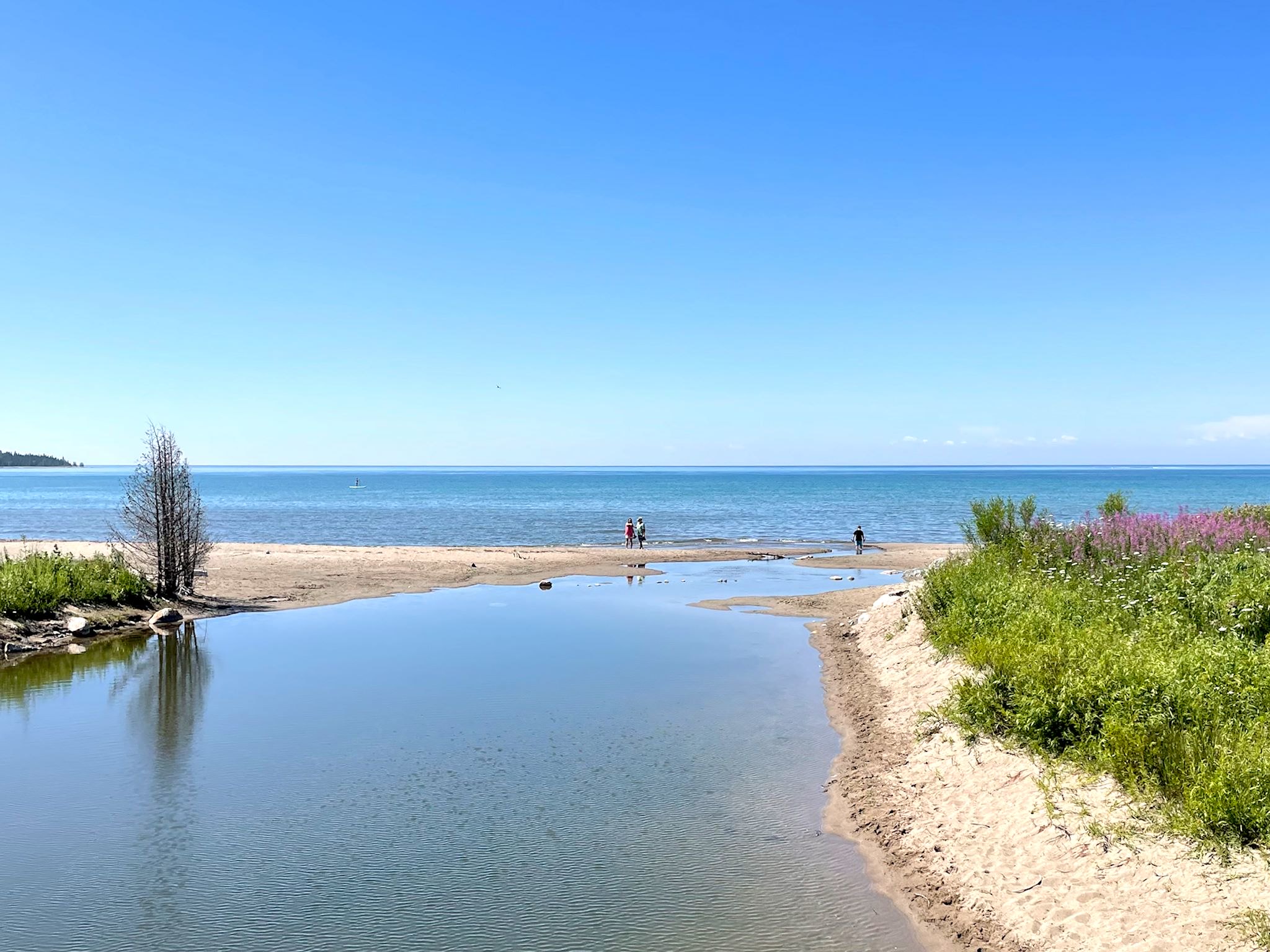
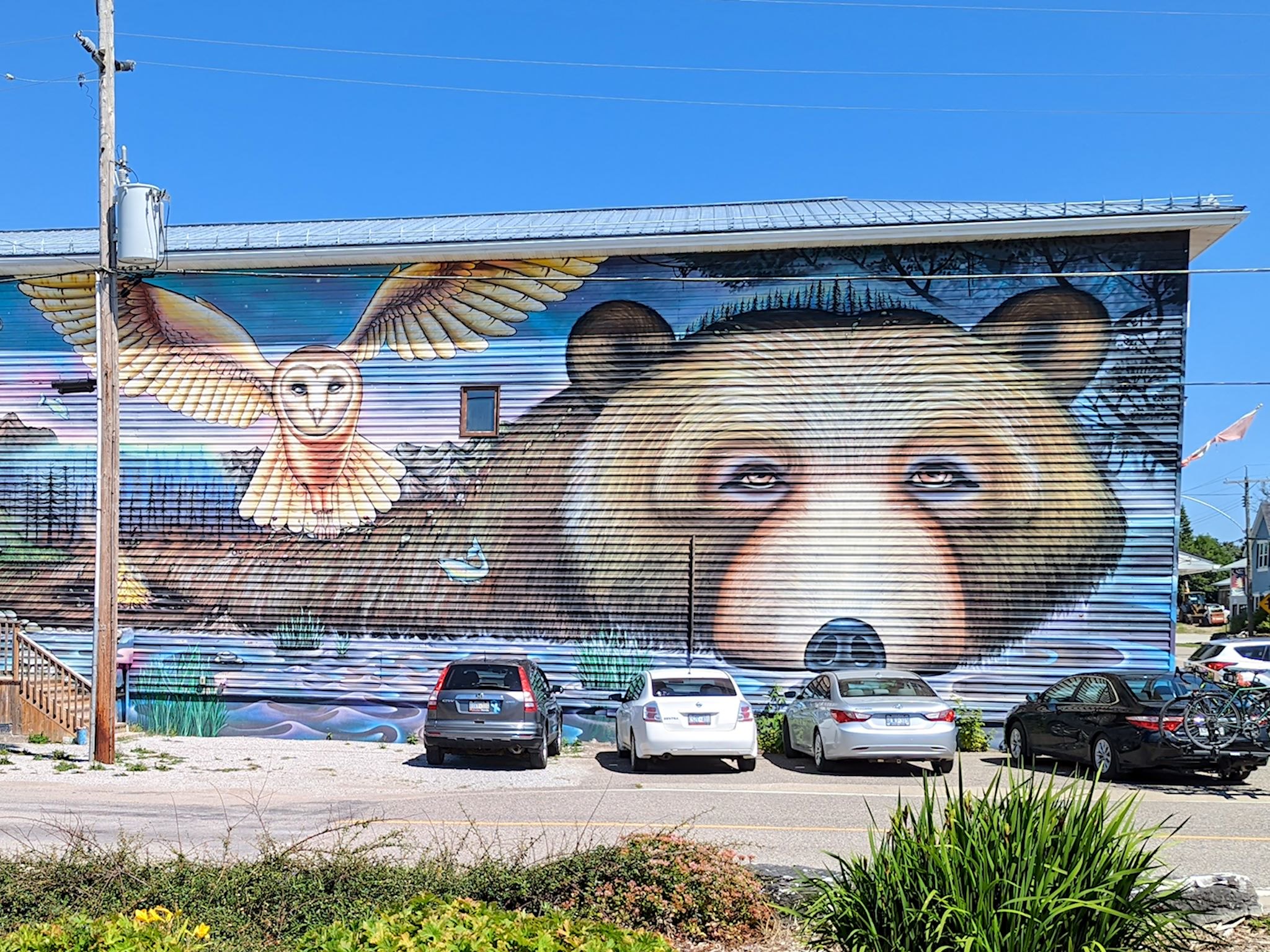
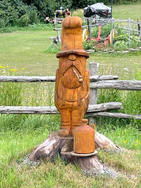
When we came around the corner and saw Providence Bay, I squealed. Wow! Whatta beach! We gotta stop and check it out! The largest beach on the island, Providence Bay provides miles of boardwalks for getting around the beach and dunes. The town beach is delightfully appointed to appeal to kids of all sizes and ages. And the mural on the long side of the Muchmor bakery morphs together all the island has to offer.
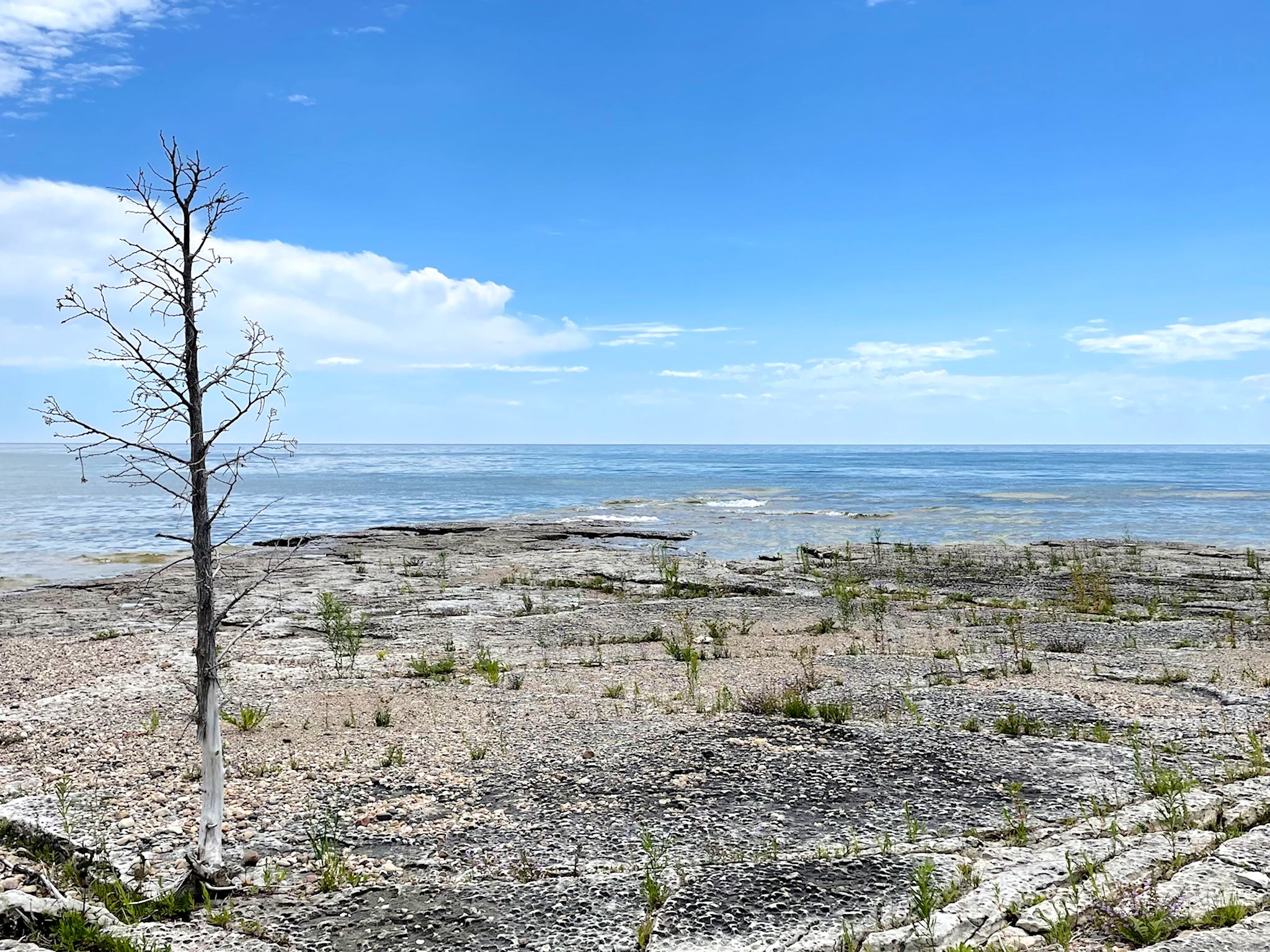
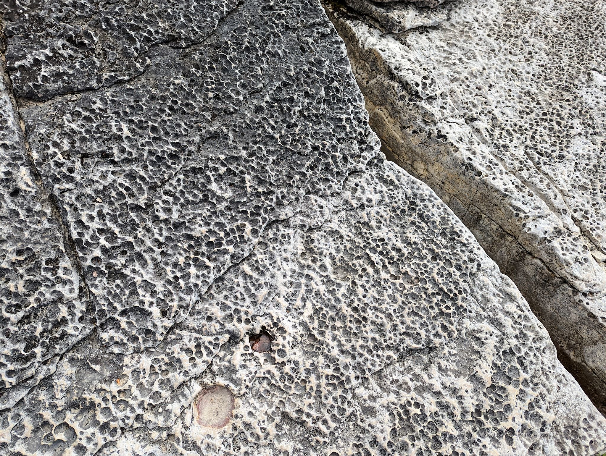
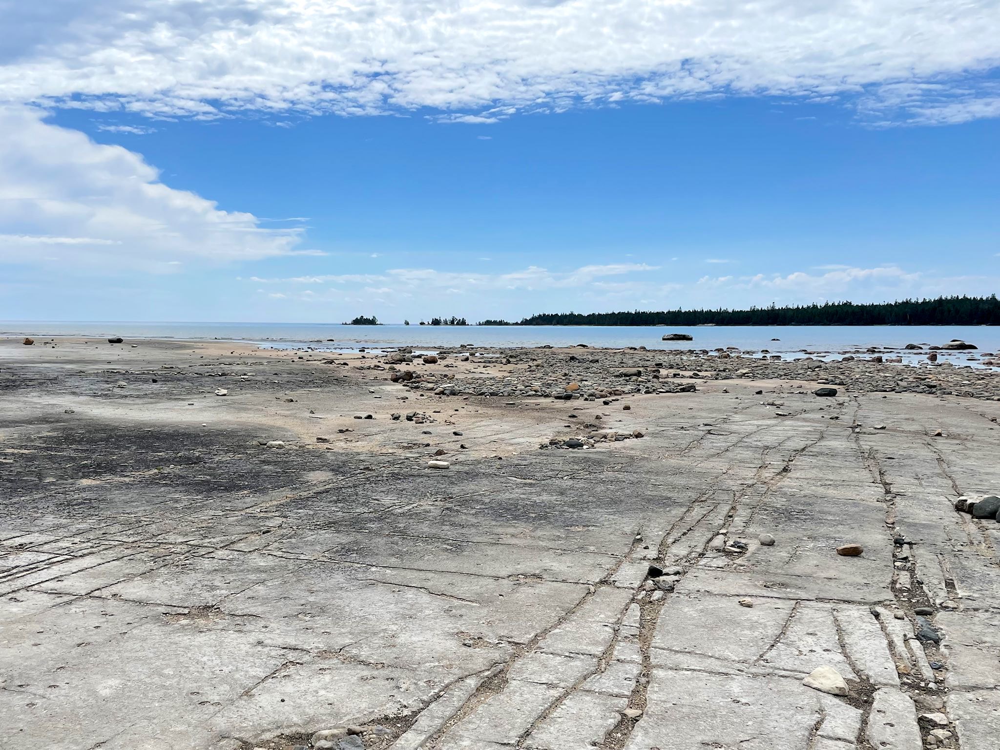
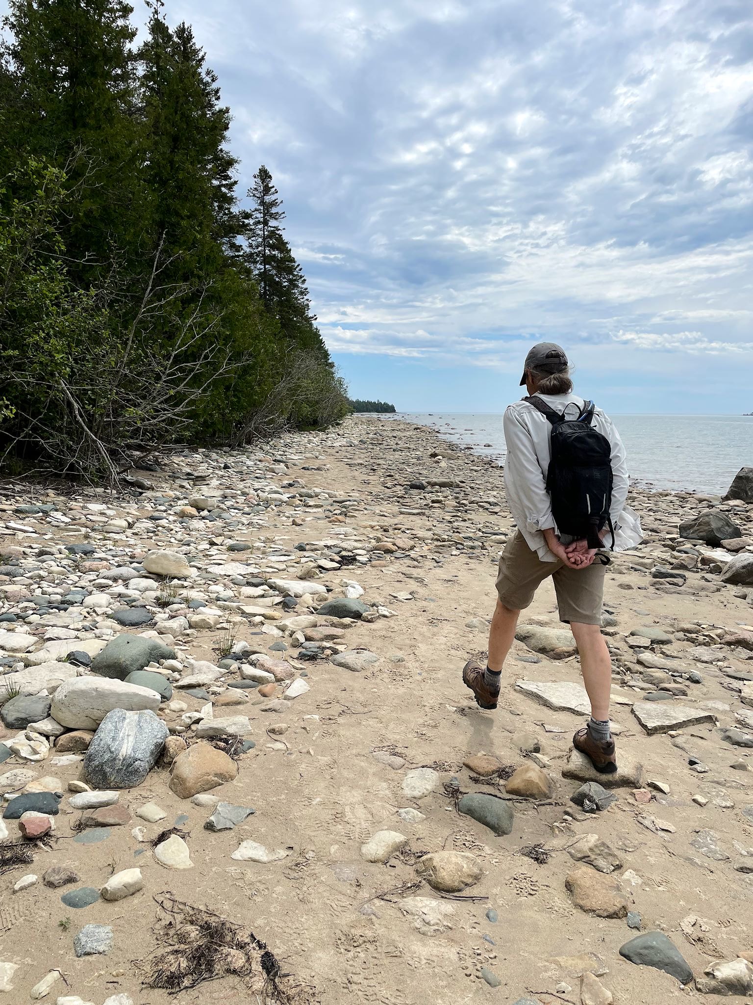
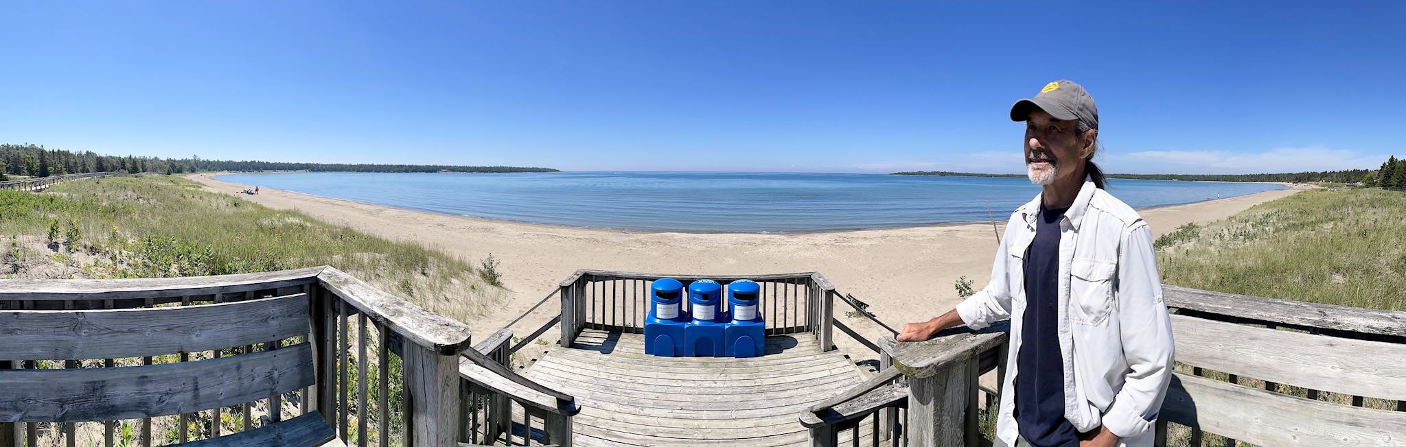
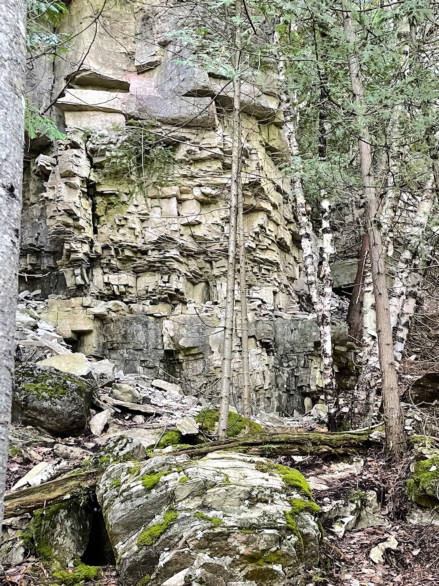
When we saw the sign for Misery Bay Provincial Park, and its tag line – Misery Loves Company – we had to check it out! The park features Ontario’s best example of alvars – limestone beaches. Yup, it looks like you can take a sidewalk right out into Misery Bay, or Lake Huron. We took advantage of the trails and interpretive signs to explore this geologically unique area.
None of the signs helped us to understand the pockmarks in the limestone – we pondered this question throughout the hike. Back at the visitor center, with help from the staff, the mystery was solved… Sand and water washing up on the shore during a storm allowed tiny plant seeds to germinate and grow. The acidity of the plants eventually (over thousands of years) dissolved the limestones, carving out the distinct hemispheres in the rock. Another storm would send waves crashing into the rock, destroying the shallow-rooted plants, leaving the pockmarks. And the cycle starts again.
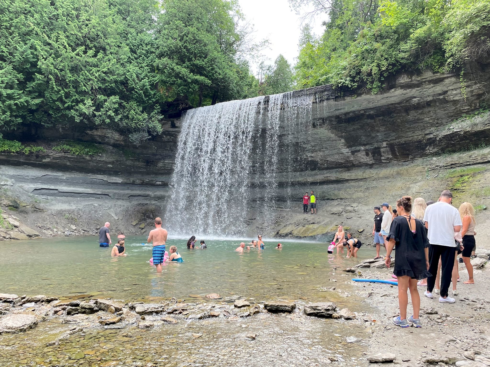
Bridal Veil Falls
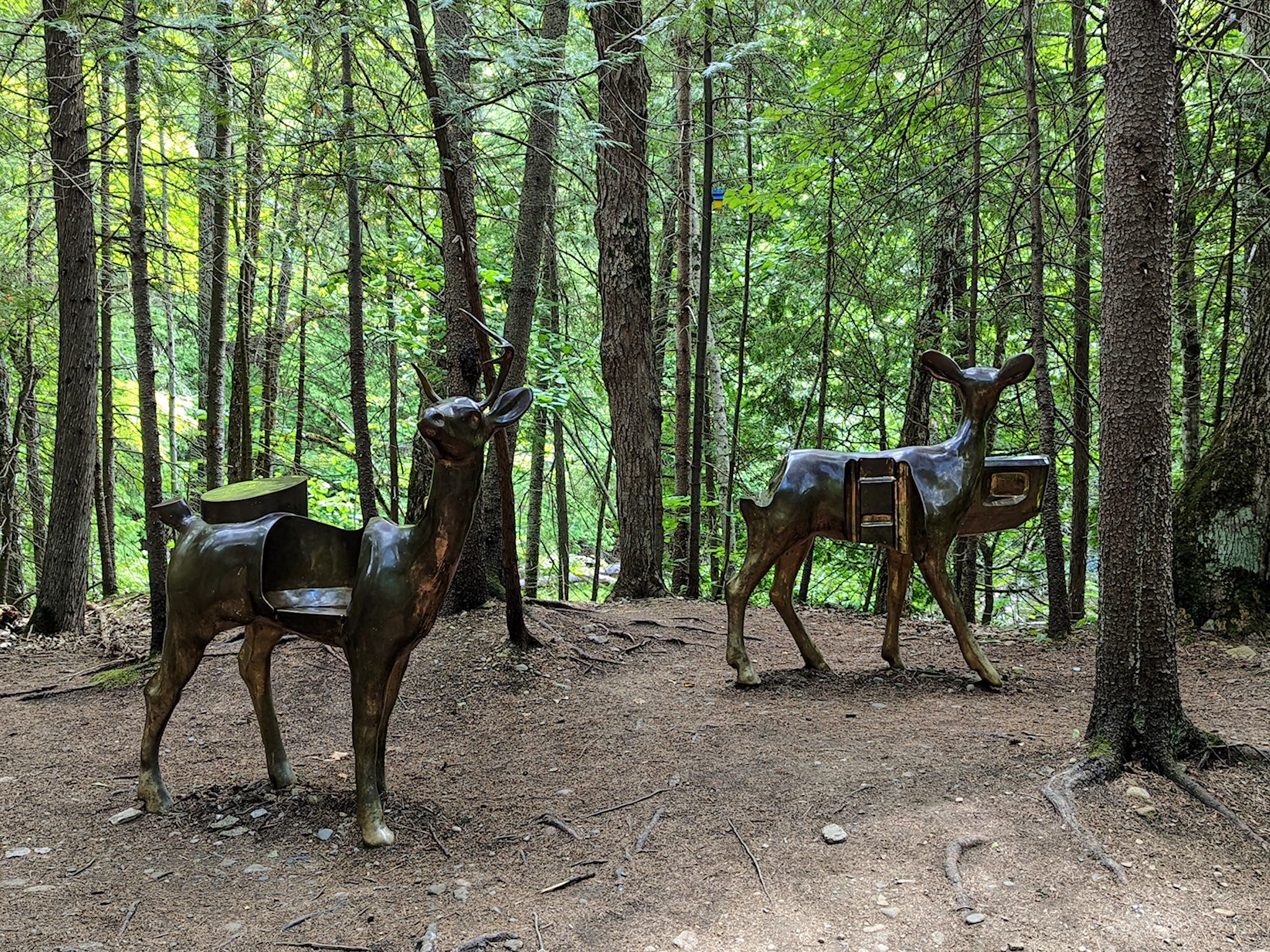
Naturally, the town of Kagawong has a marina – most of the towns on the island do – however, it’s better known for Bridal Veil Falls. Aptly named, the falls are a short walk from the road and a mecca for kids – the overhanging lip of the falls makes it possible to swim around behind the falls, way cool. A trail meanders from the falls along the Kagawong river, revealing art installations along the way.
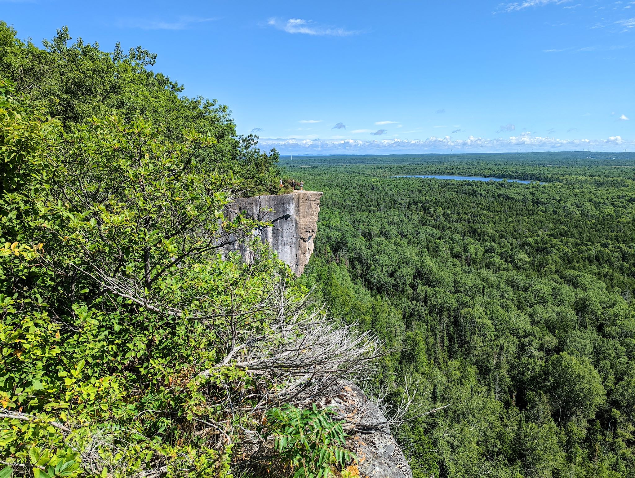
View northeast from Bebamikawe Trail
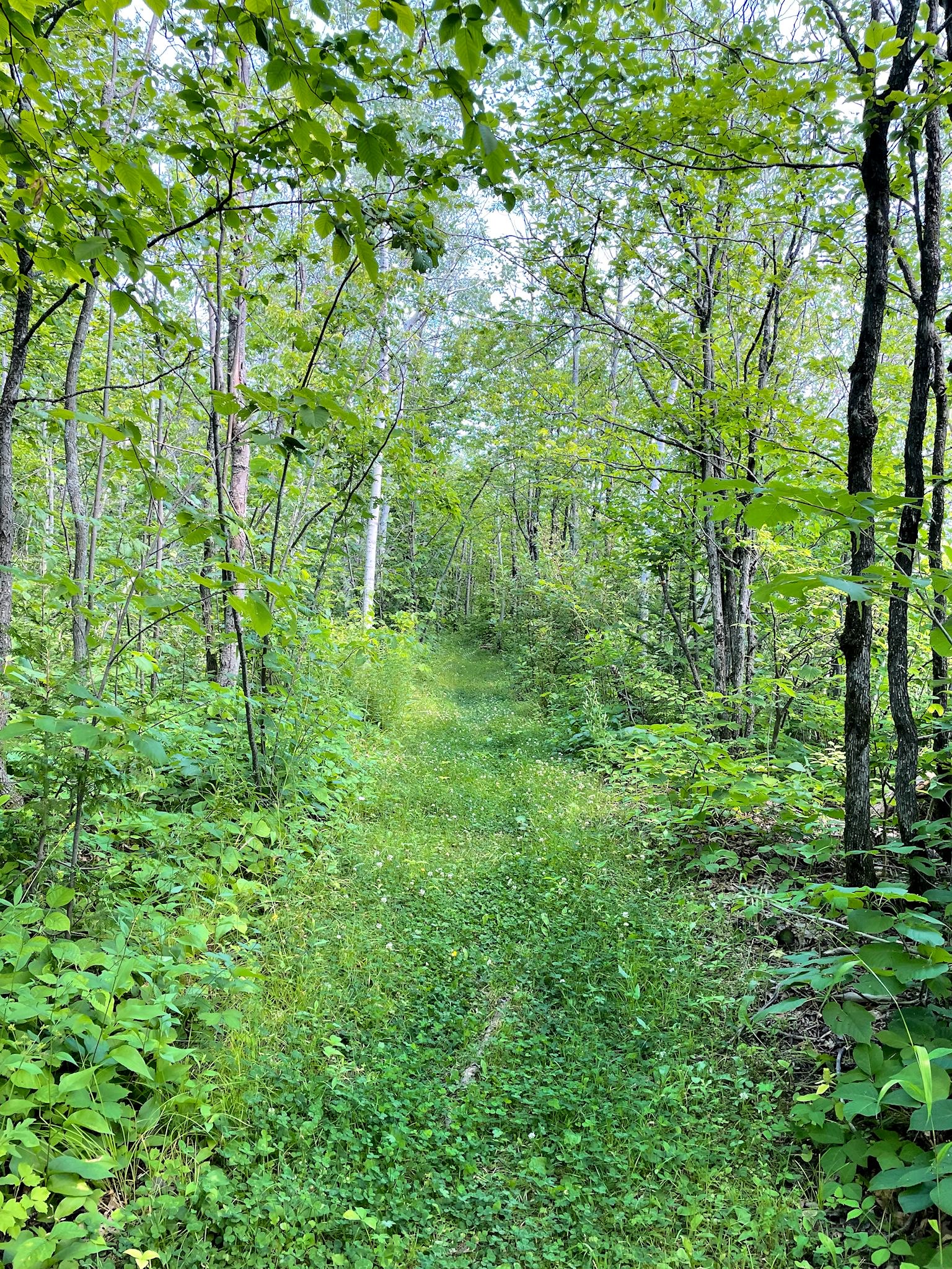
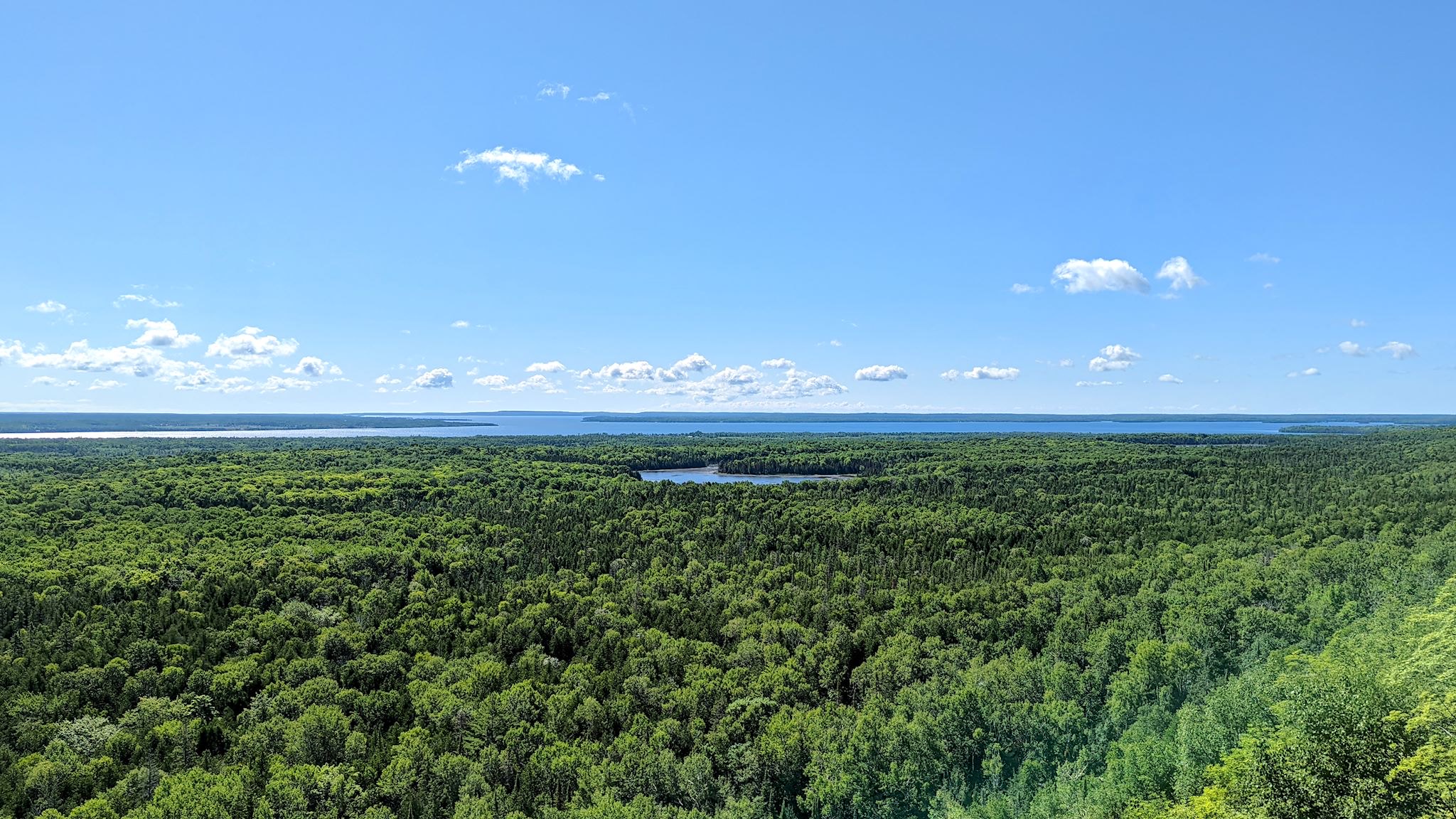
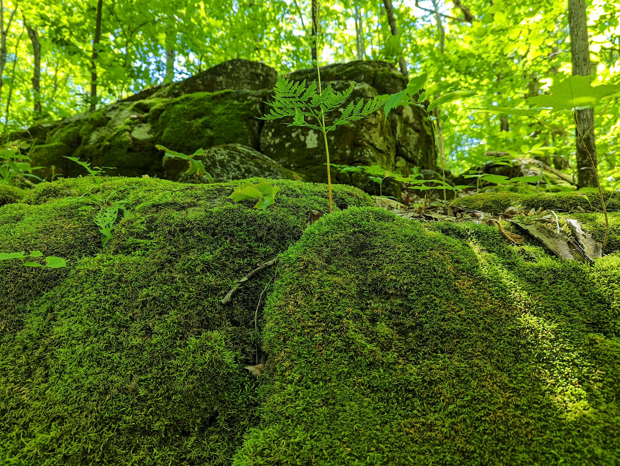
The Niagara Escarpment on Manitoulin Island is wide, consisting of several ridges. The east-most ridge rises up quickly from the shores of Lake Huron right outside the First Nation town of Wikwemkong. The town maintains the Bebamikawe Memorial Trail which rises quickly and brought us to 5 overlook points with views in 4 directions. The wide and well maintained trails were a treat, where most were moss or clover covered paths through the forest.
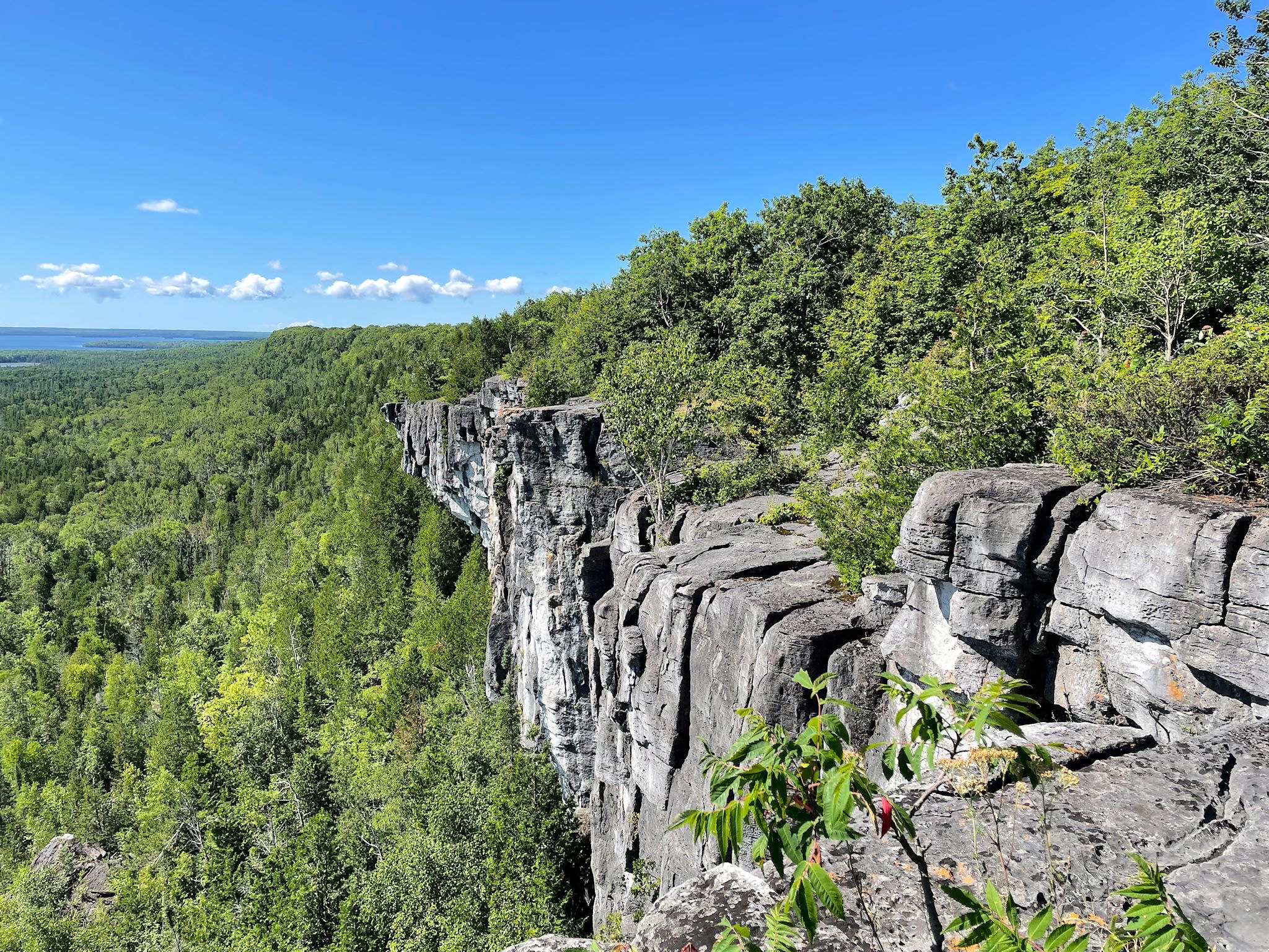
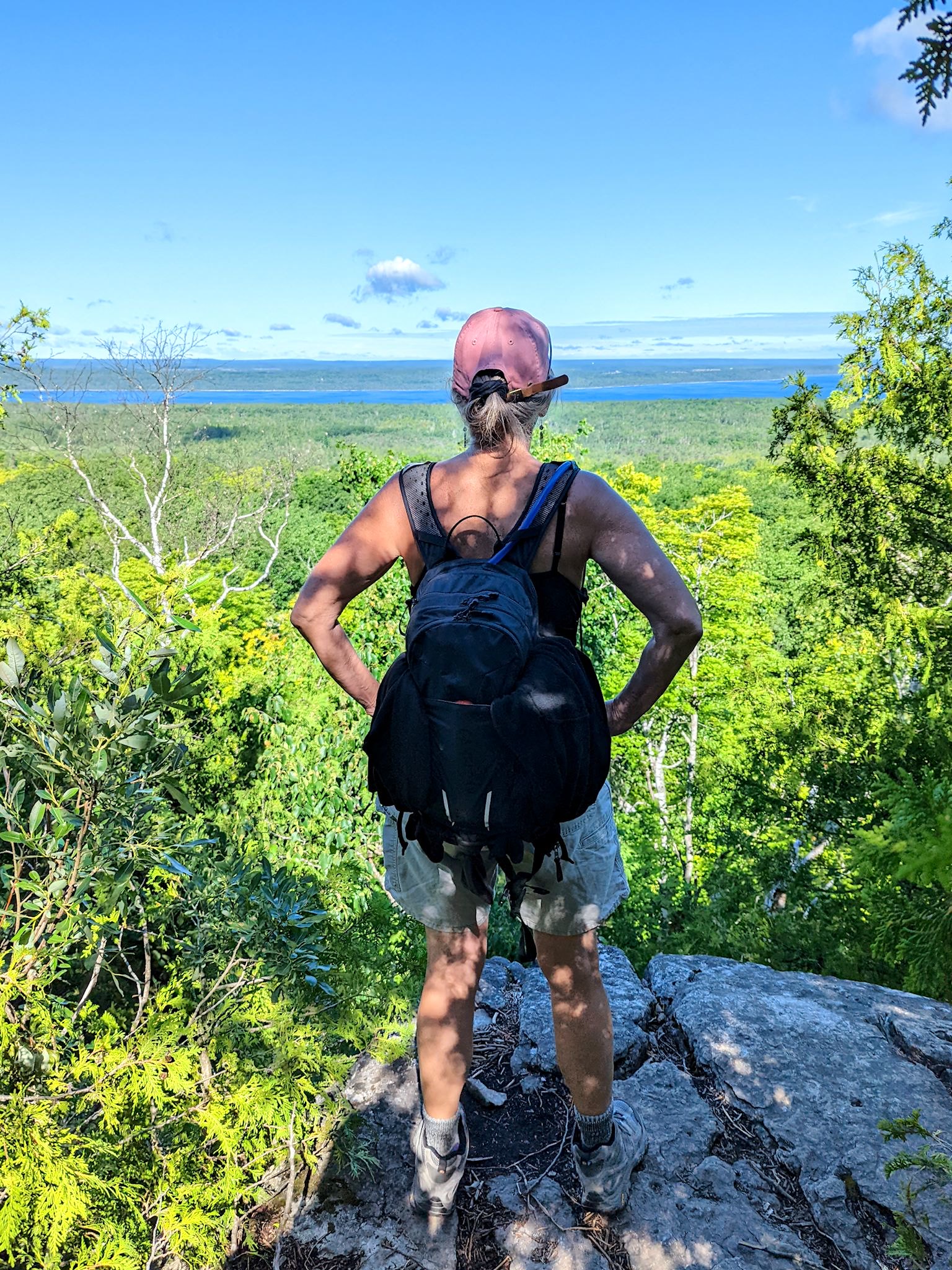
The most popular place to hike on the Island is the Cup and Saucer Trail. There’s a reason it’s popular! This lovely trail rises quickly to the highest point on the escarpment on the island which is a set of cliffs facing south east over Lake Manitou. The first view over the cliffs was spectacular. Then the trail followed the cliffs for about 5 kilometers/3 miles, with many bursts of Wow and OMG! Yup, it was our favorite, too.
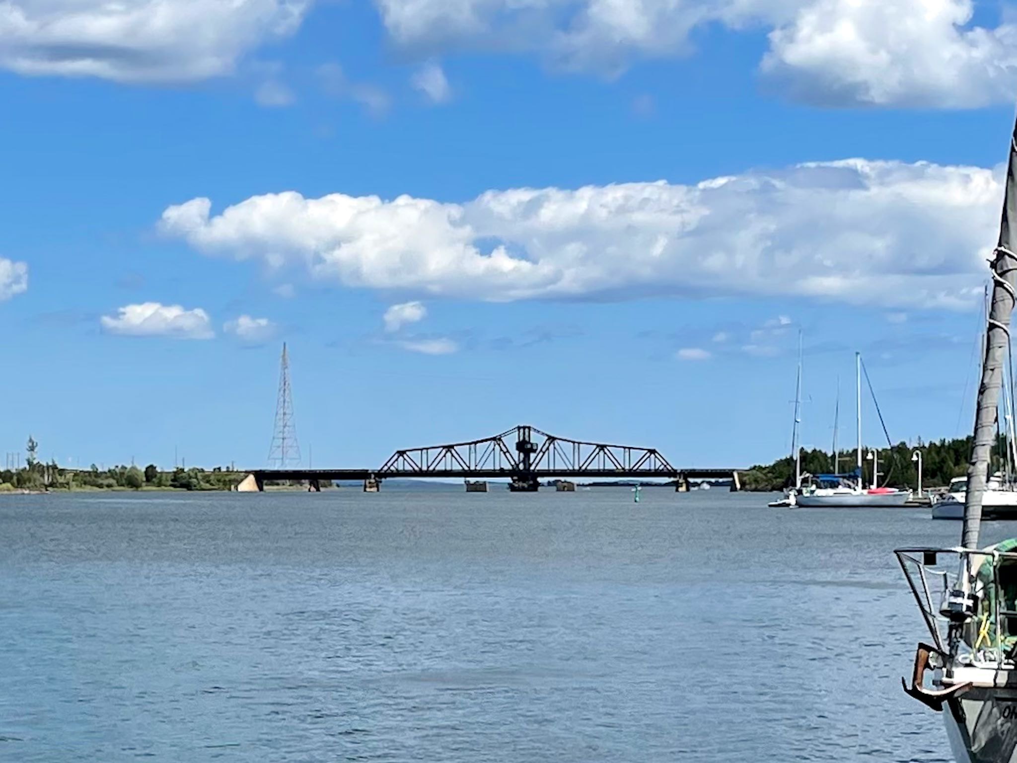
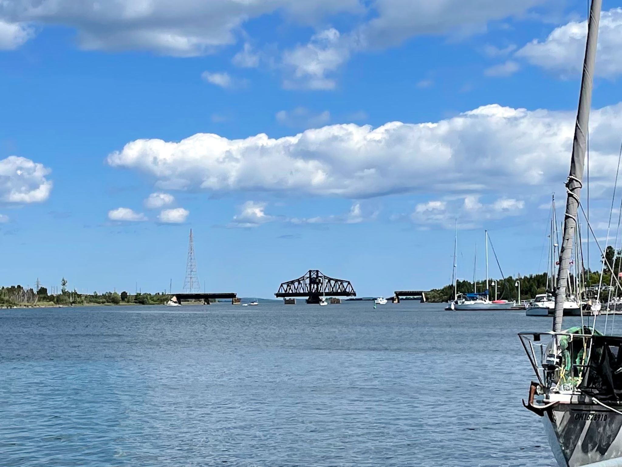
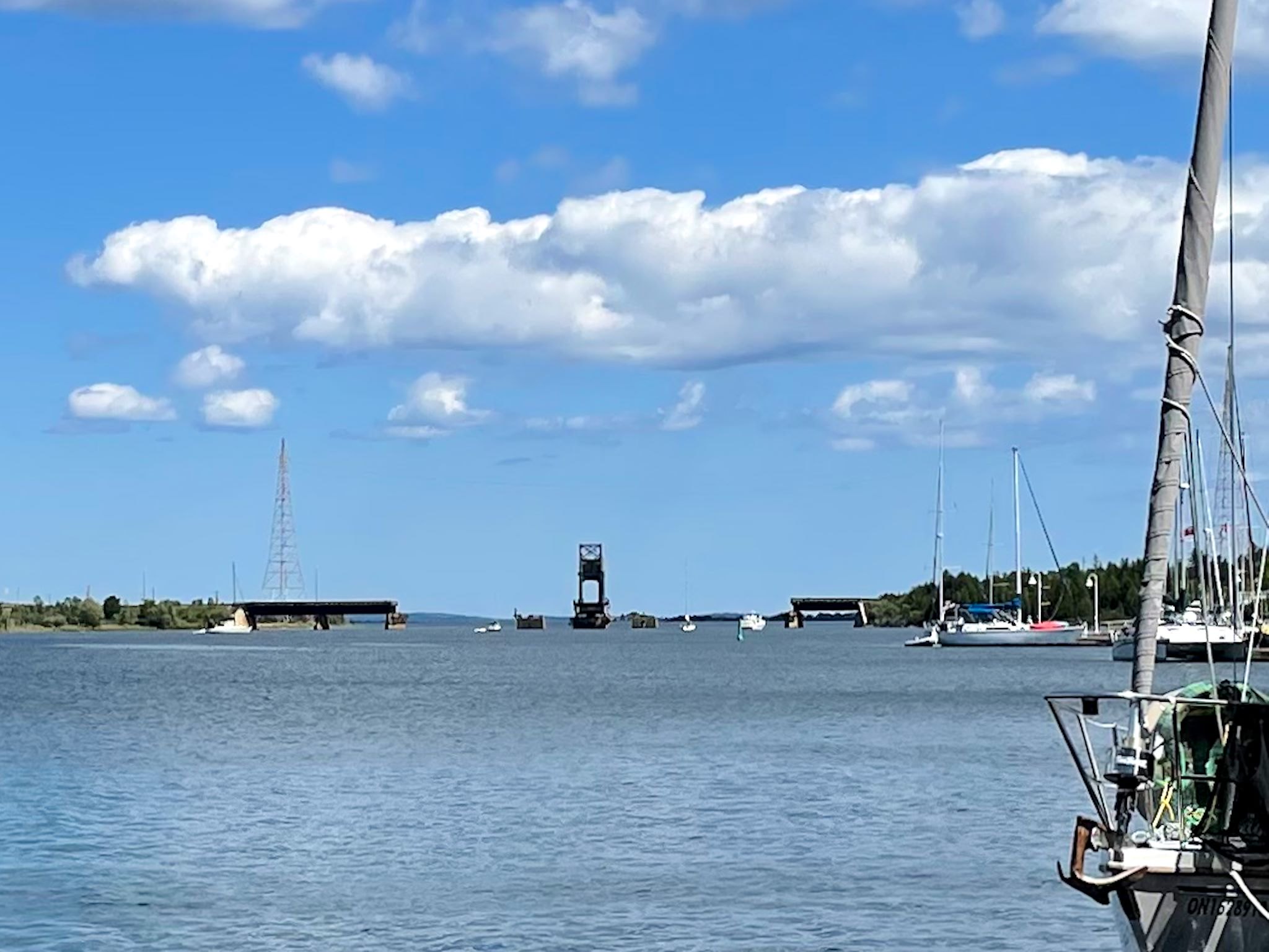
The swinging bridge at work
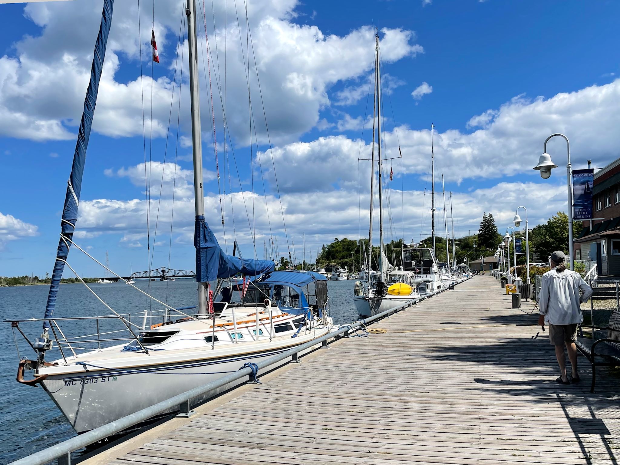
Little Current, the northernmost town on the island, is known for a long boardwalk that serves as the link between the marina and downtown shops. Tie up your boat, grab a coffee, souvenir and postage stamp! The swinging bridge, the only year-round way off and on the island, rotates 90 degrees to allow boat traffic to continue across the narrowest section of the north channel. Fun to watch!
For anyone who’s interested, more Chi-Cheemaun ferry, Providence Bay, Misery Bay, Meldrum Bay, Gore Bay, Kagawong, Cup and Saucer, Bebamikawe Memorial Trail and Little Current pix…