Terra Nova National Park is situated on the northeast coast of Newfoundland. It encompasses 238 km/150 miles of shoreline, all of it within a north to south span of 45 km/30 miles and within 5 km/3 miles of the coast. It comprises islands, sounds, points, fjords, bogs, headlands, inlets, forests, ponds, fingers (of land), arms (of water), tickles (look it up), and straits. The park’s PR people share our penchant for superlatives… Brochures boast that Terra Nova is Canada’s easternmost National Park (yes, we’ve been to Pacific Rim National Park) and Newfoundland’s oldest, established in 1957 (Gros Morne was established in 1970). As with all National Parks, Terra Nova manages access to the beautiful parklands and its primary mission is conserving and restoring ecological integrity.
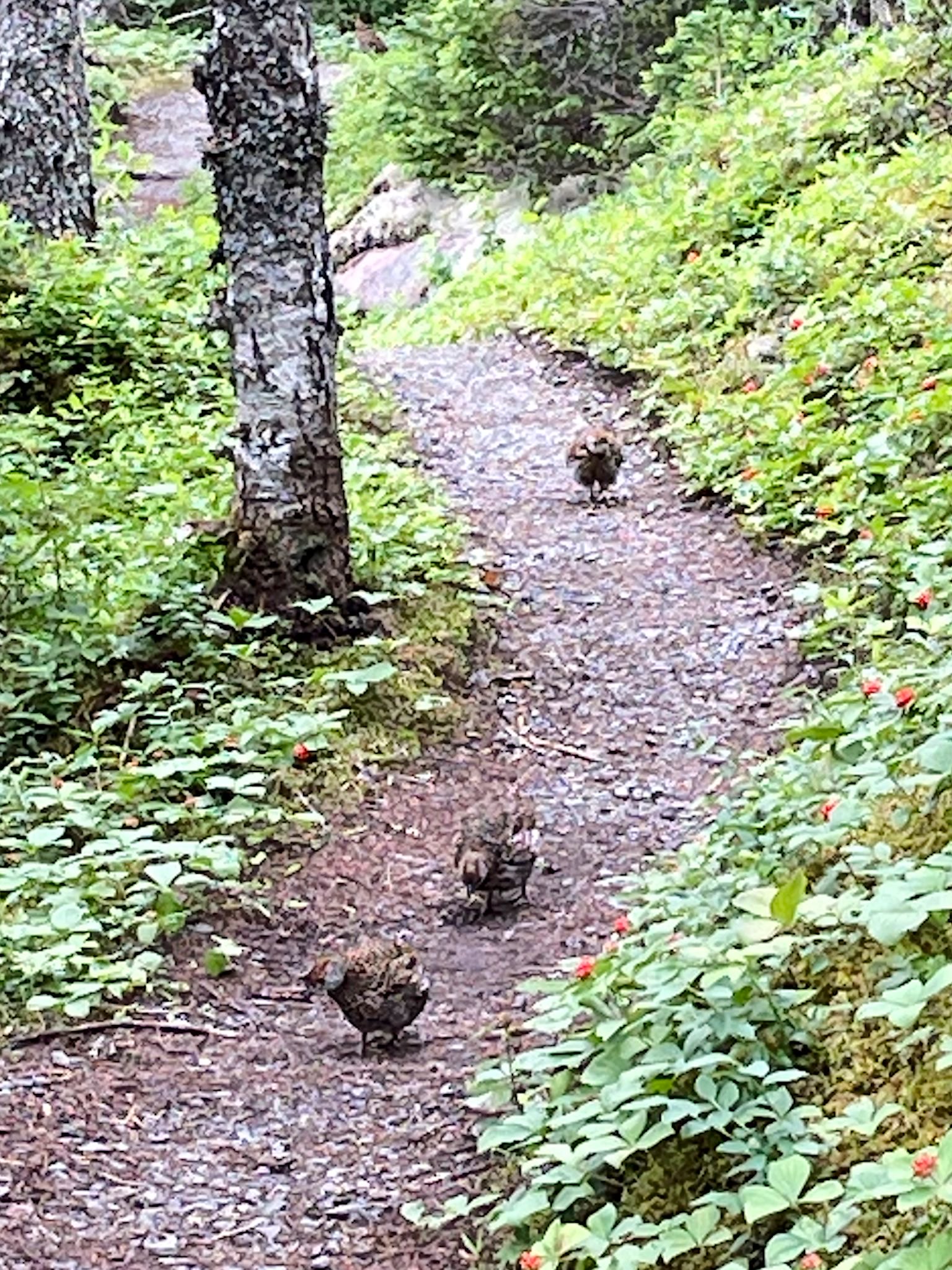
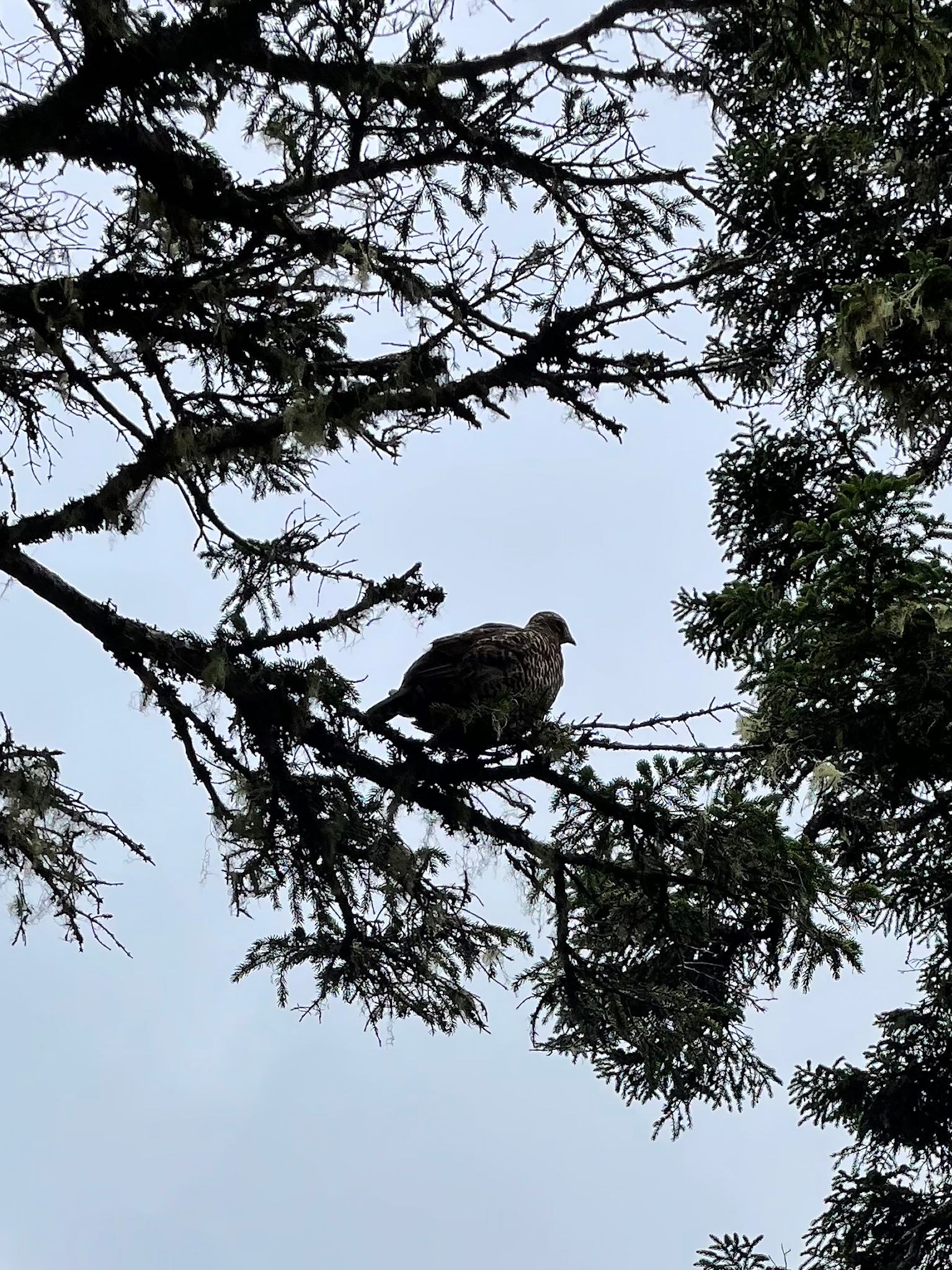
If Gros Morne is about the rocks, Terra Nova is about balancing the health of the forest that supports the critters that eat the lichen that grows on the rocks, the rocks down in the valley-o (oops, Newfoundland music…).
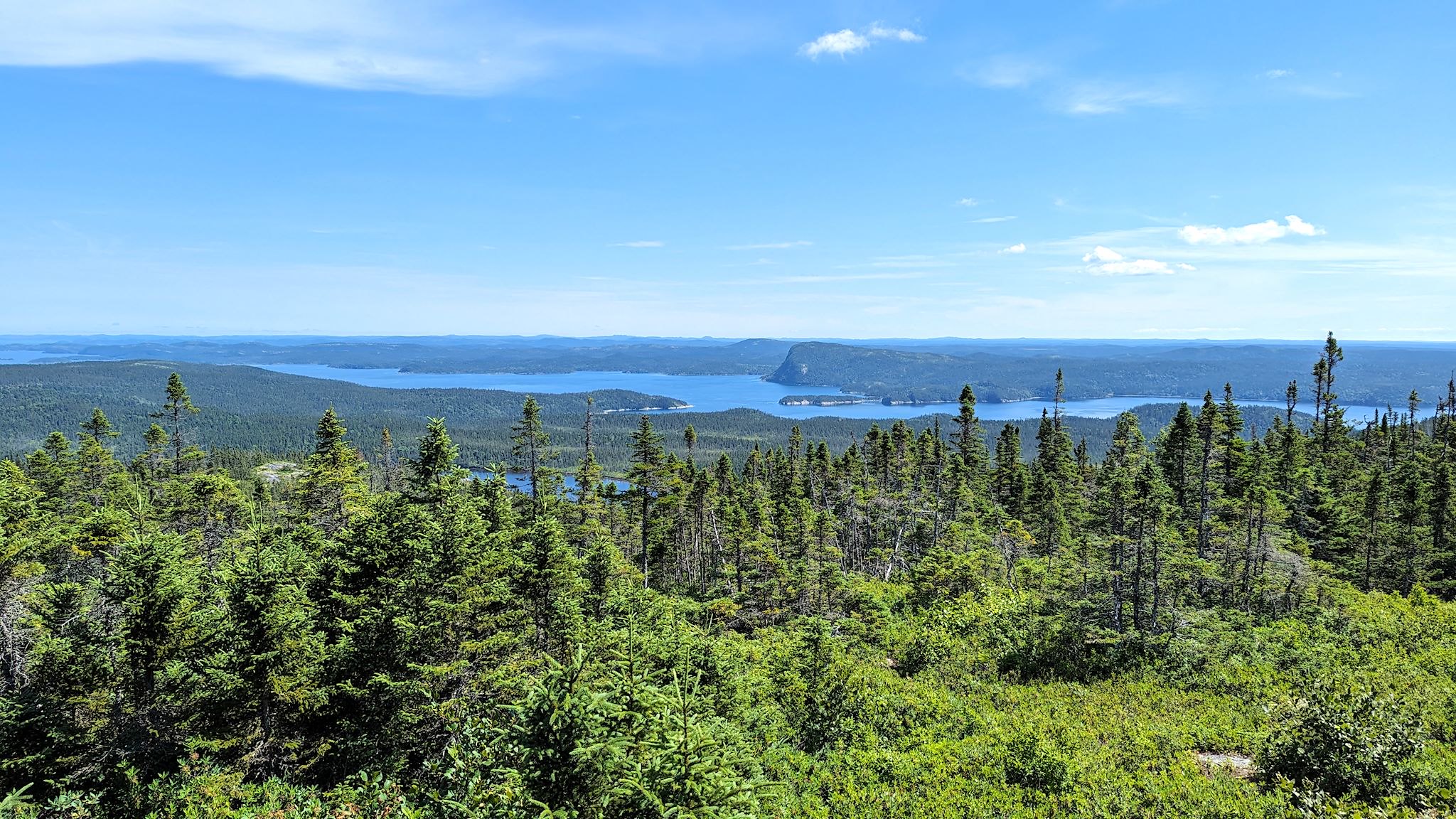
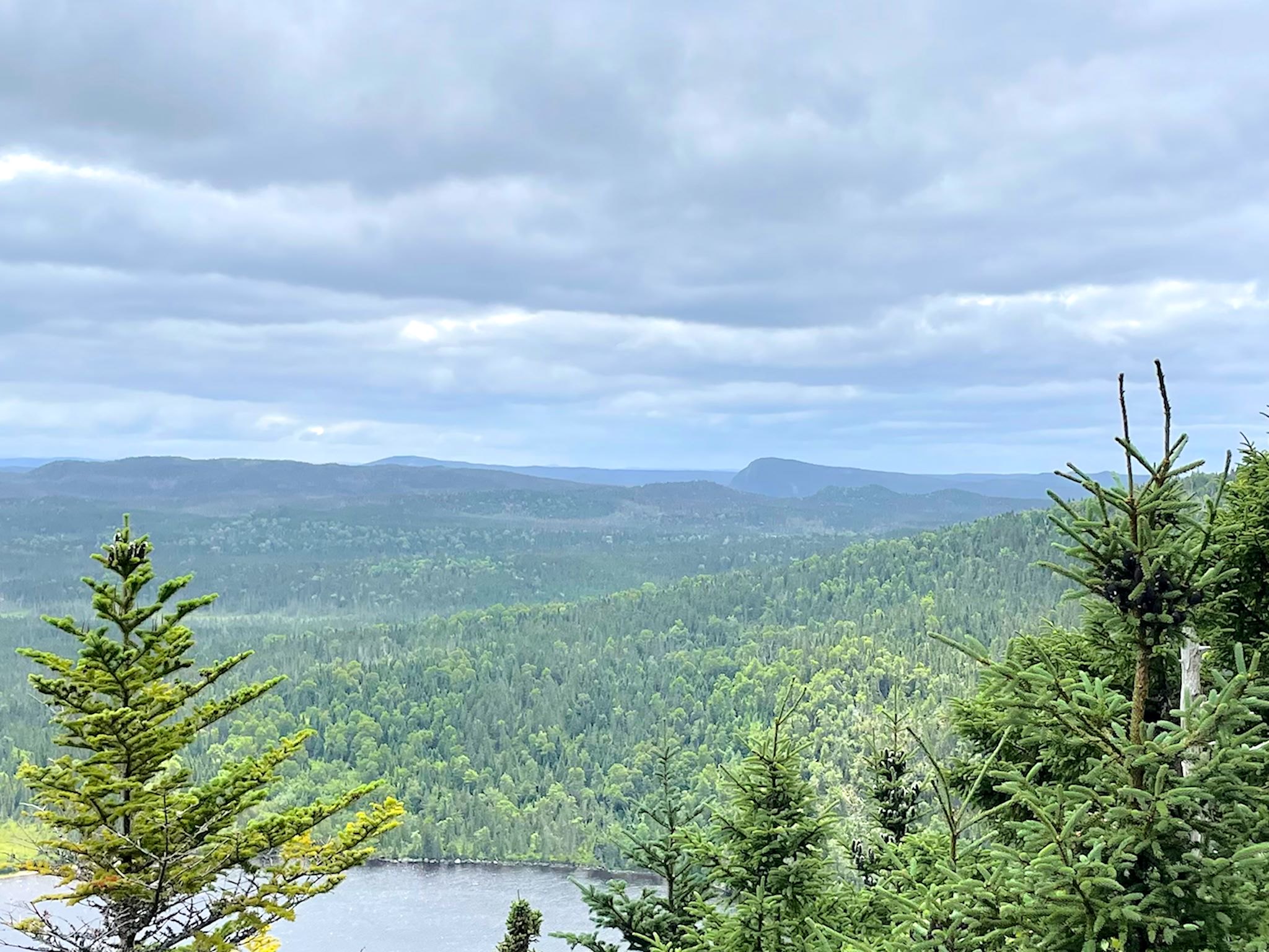
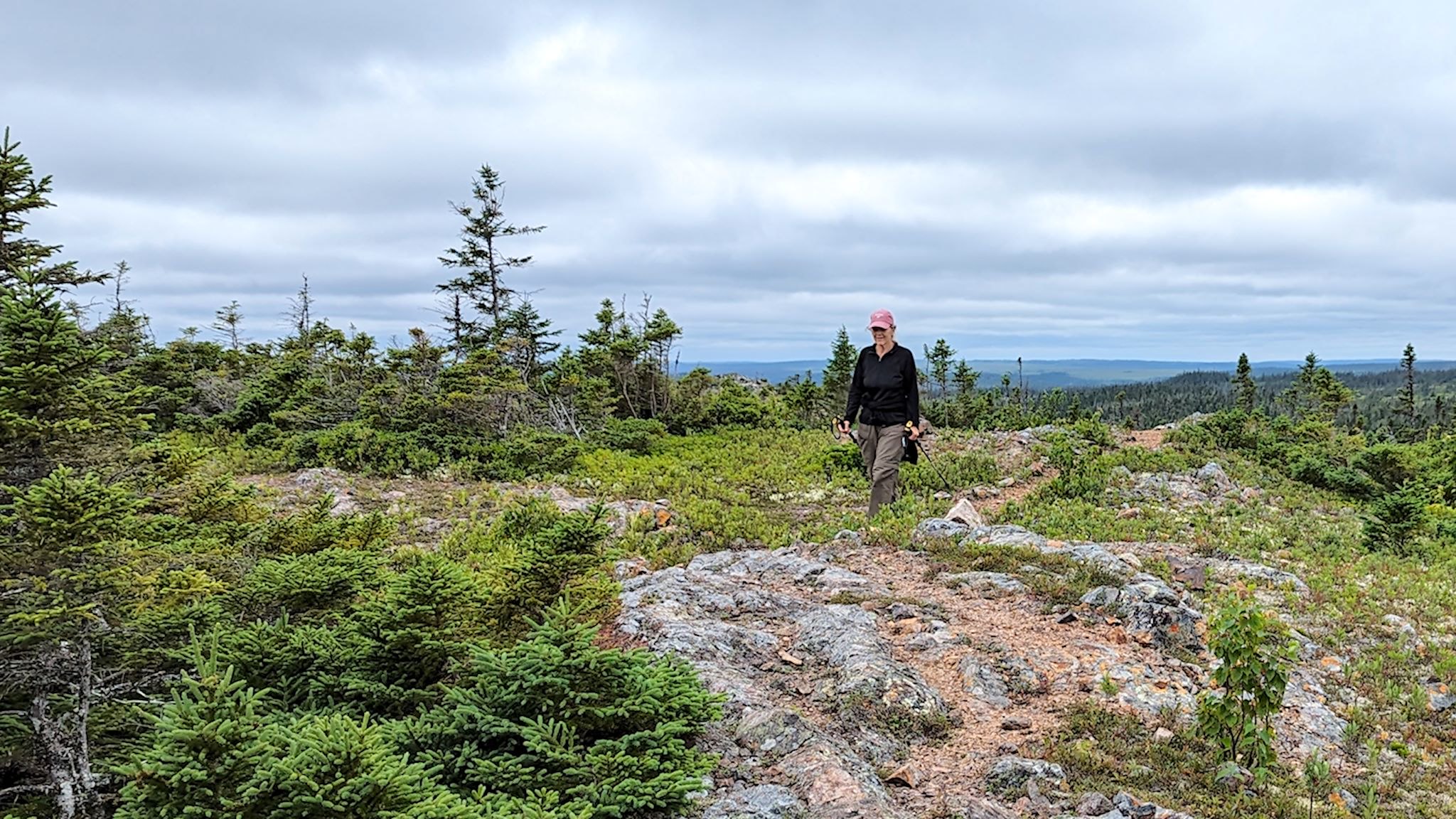
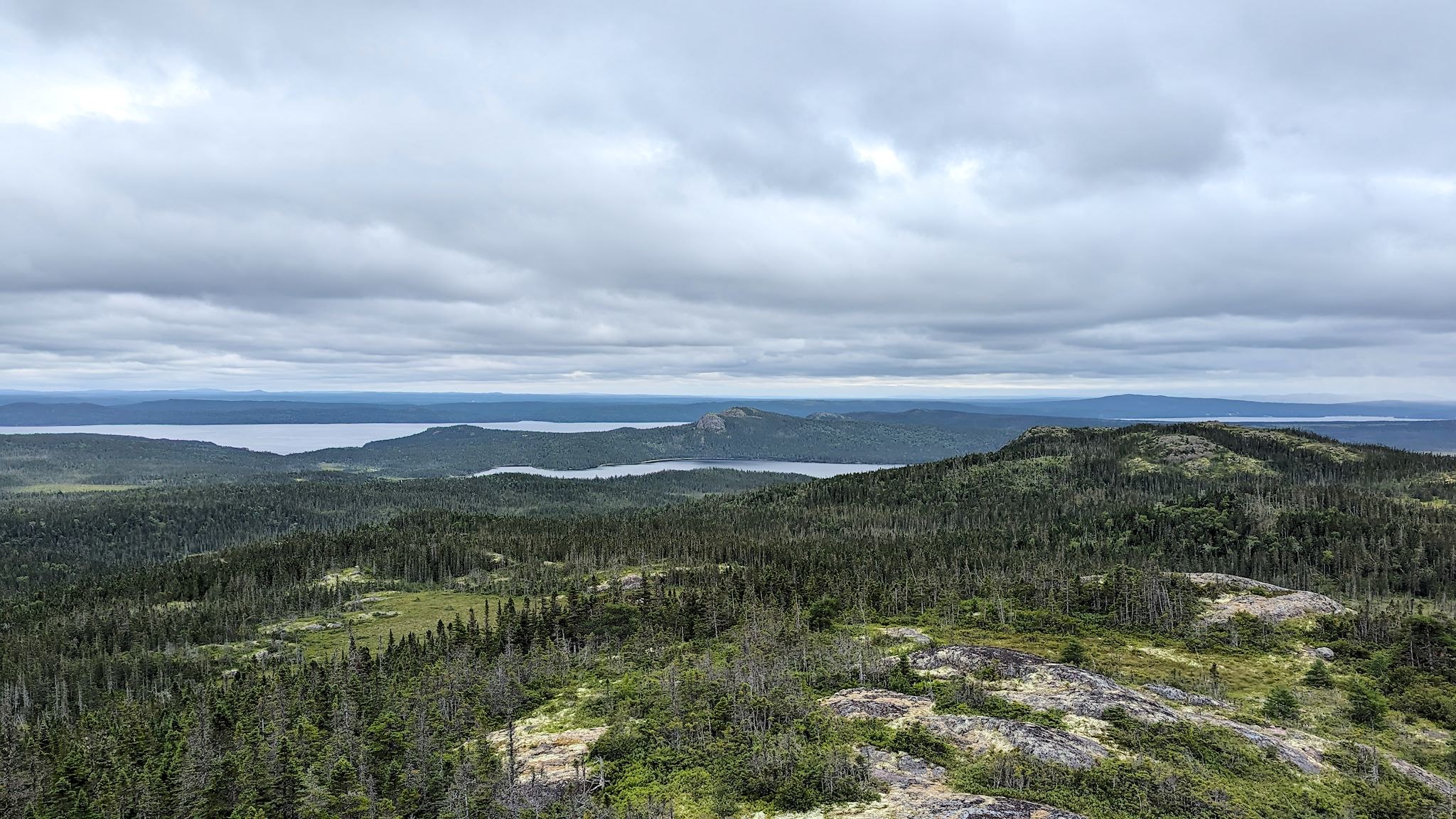
Although the park is more horizontal than vertical – the highest point at Terra Nova is 225m/740 feet above sea level – the exceptionally well-maintained trail network features hikes to lookouts on the highest points in the park. The endless views of rippling boreal forest ridges and the ragged edge with the ocean are breathtaking. Our photos nowhere near capture the beauty. We tried!
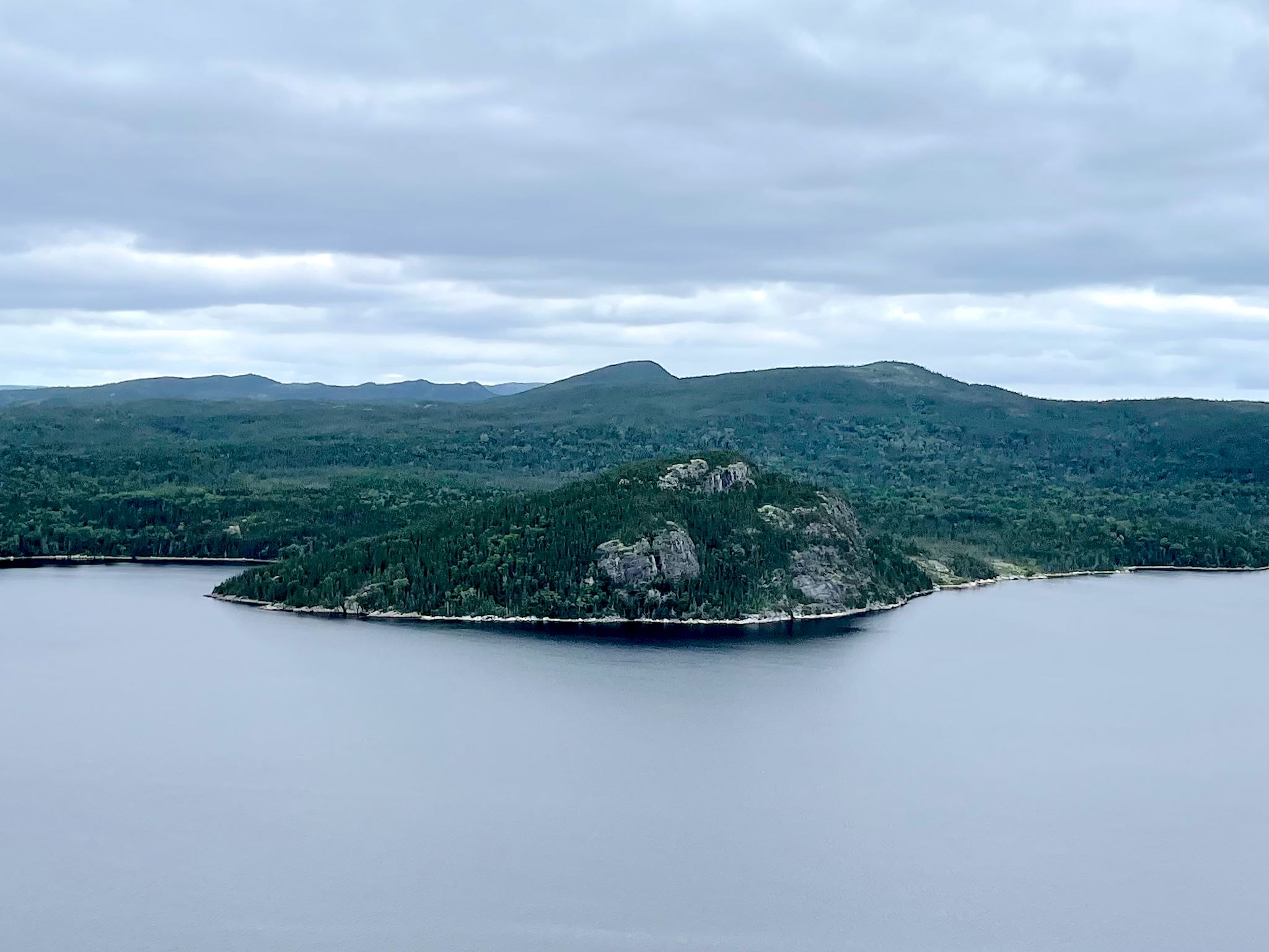
We arrived in the park on a bright, sunny afternoon. The forecast was for steady rain the next 2 days. Assuming our outdoor time would be limited, we decided to take advantage of the weather and do the scenic drive to the highest point in the park – Blue Hill. The name does nothing to set the expectation for the stunning views out over Newman Sound, including The Narrows and Mount Stamford – a prominent head visible from many places in the park.
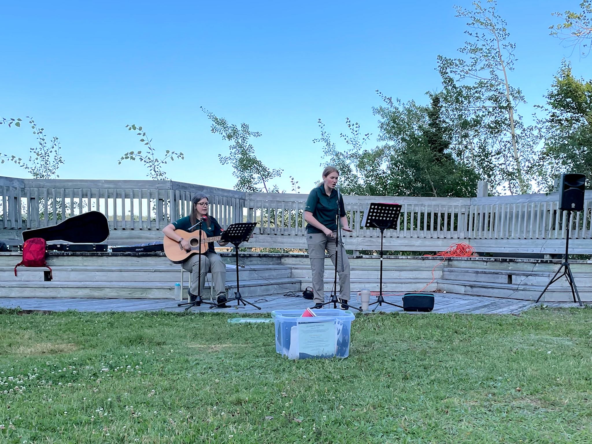

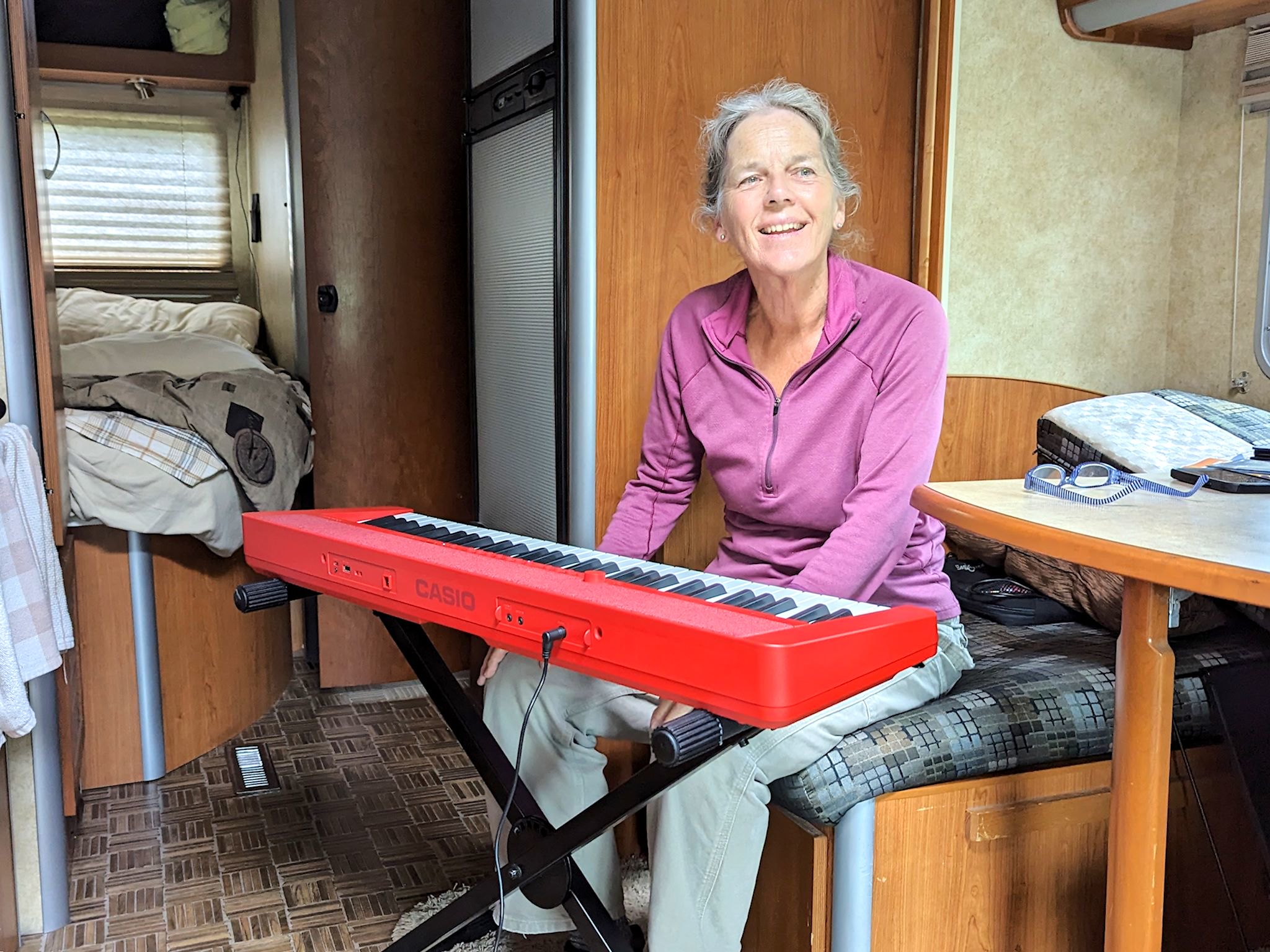
True to the forecast, we saw rain for most of the next 2 days. In addition to catching up on regular on-the-road chores, we did some bingeing on music. The rain cleared long enough for the park’s scheduled campfire singalong. There, Rianna and Kathy handed out a singalong booklet and treated us to more traditional Newfoundland tunes. Turns out, most of them were familiar to us from prior music events. And now, we have the lyrics! Back at the camp we tried a few of the songs, and Doug shared with me some of the basics of playing the blues that I could translate to piano. We were jamming!
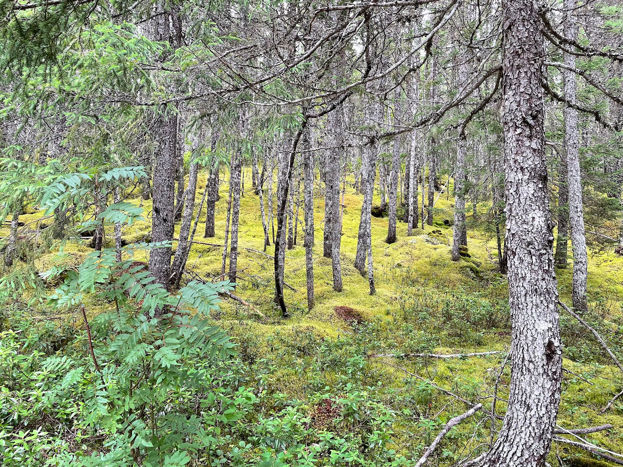
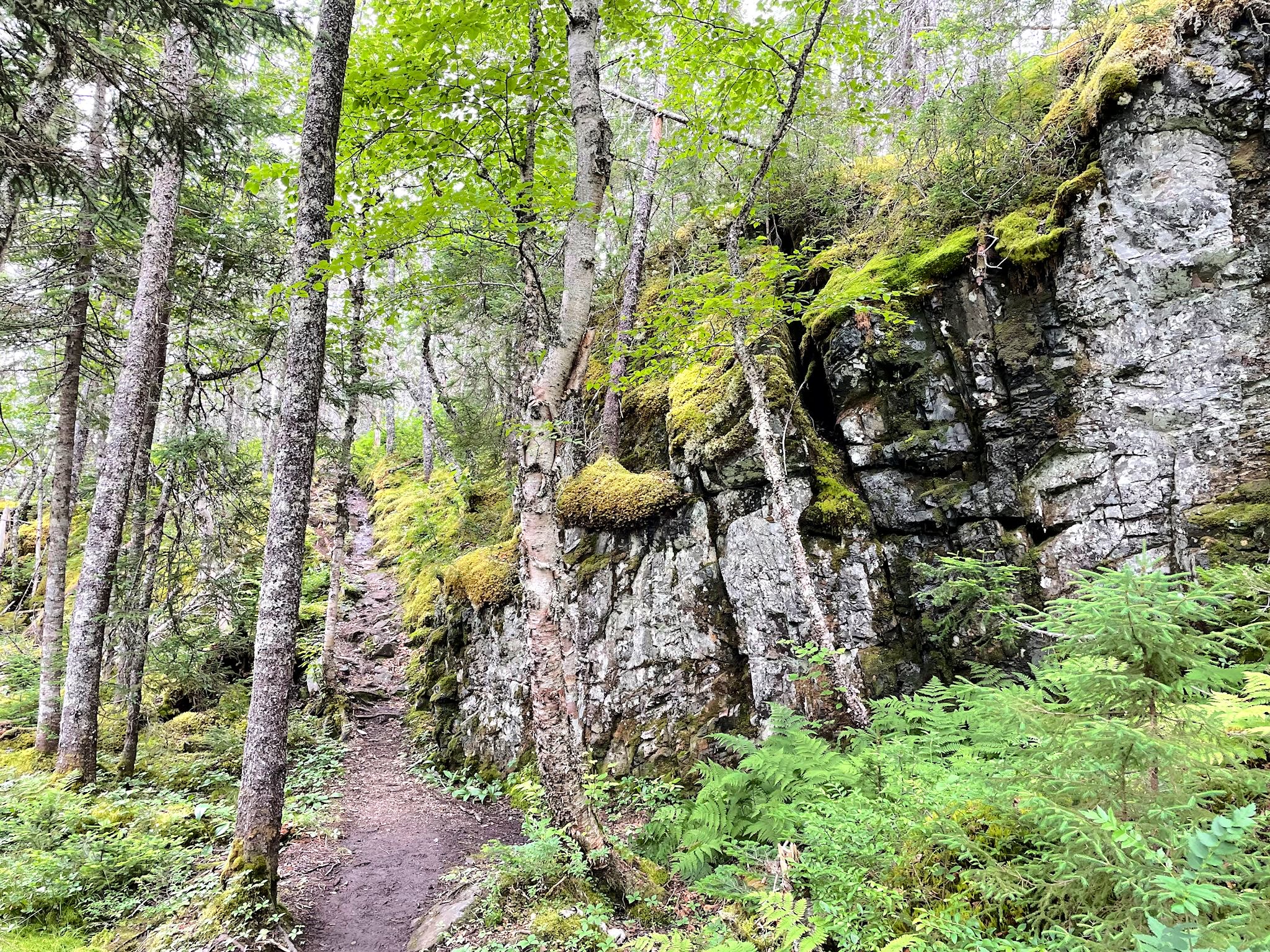
Within minutes of the rain stopping, we were on our way to the Malady Head trailhead. Our hike started with a trail through black spruce trees where the forest floor was covered with vibrant yellow-green moss. All of the brochures, maps and trail descriptions in the park mention the ‘vibrant’ moss. We don’t know if ‘vibrant’ is part of the botanical name or just descriptive of the color, however, it describes perfectly what we were hiking through. Vibrant moss covered everything! The ground, trees, ledges, cliffs, boardwalks. It was beautiful!
As the trail gained elevation, we passed through a section of the forest where it appeared giants had been playing pick-up-sticks. We learned that black spruce do not have deep roots and therefore topple easily during the legendary wind storms that come to Terra Nova from the sea. Emerging from the forest to our final lookout point, we enjoyed more views of the park including Broad Cove, Southwest Arm, a sliver of Newman Sound along with Mount Stamford and several other ridges in the distance.
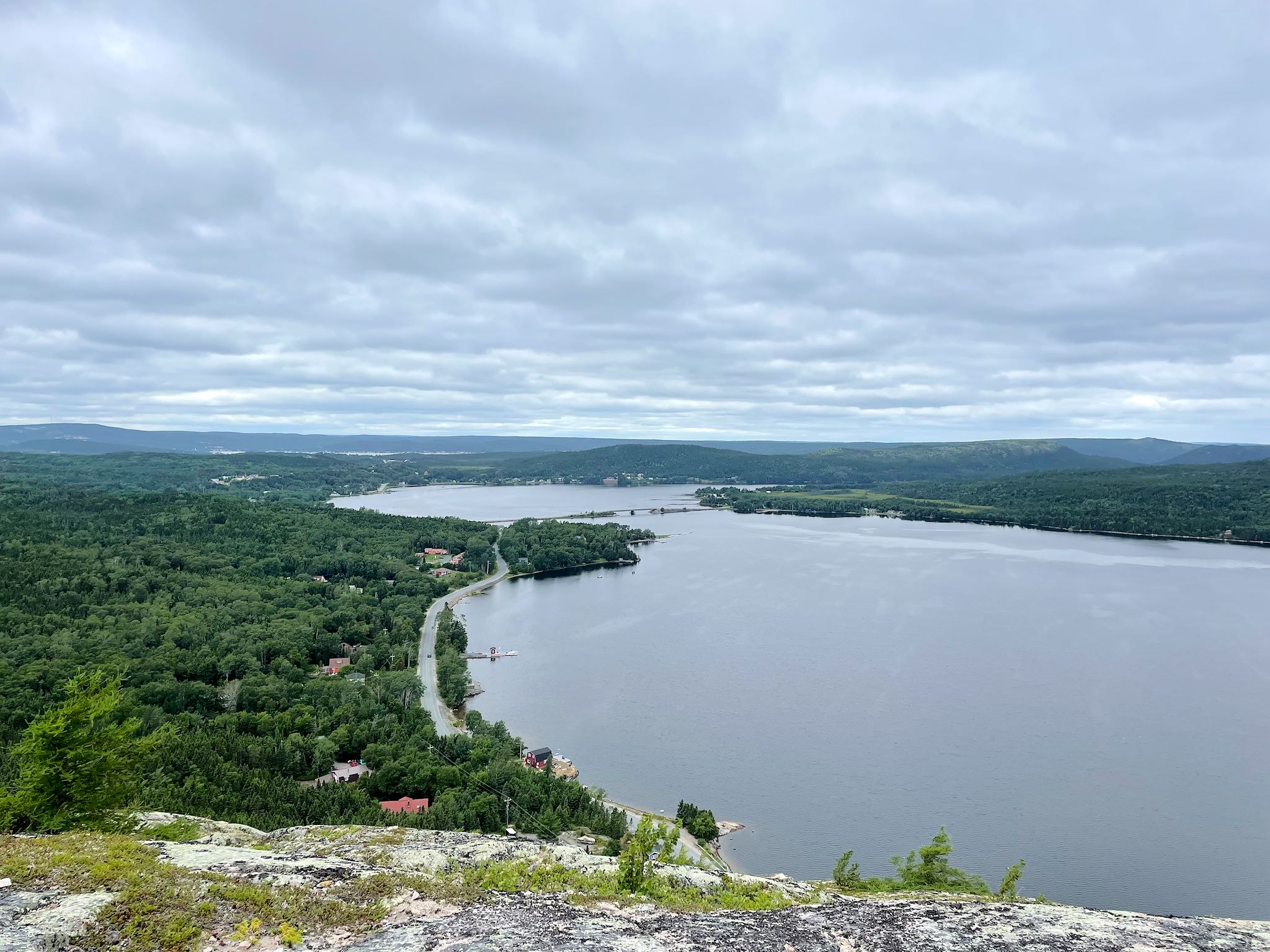
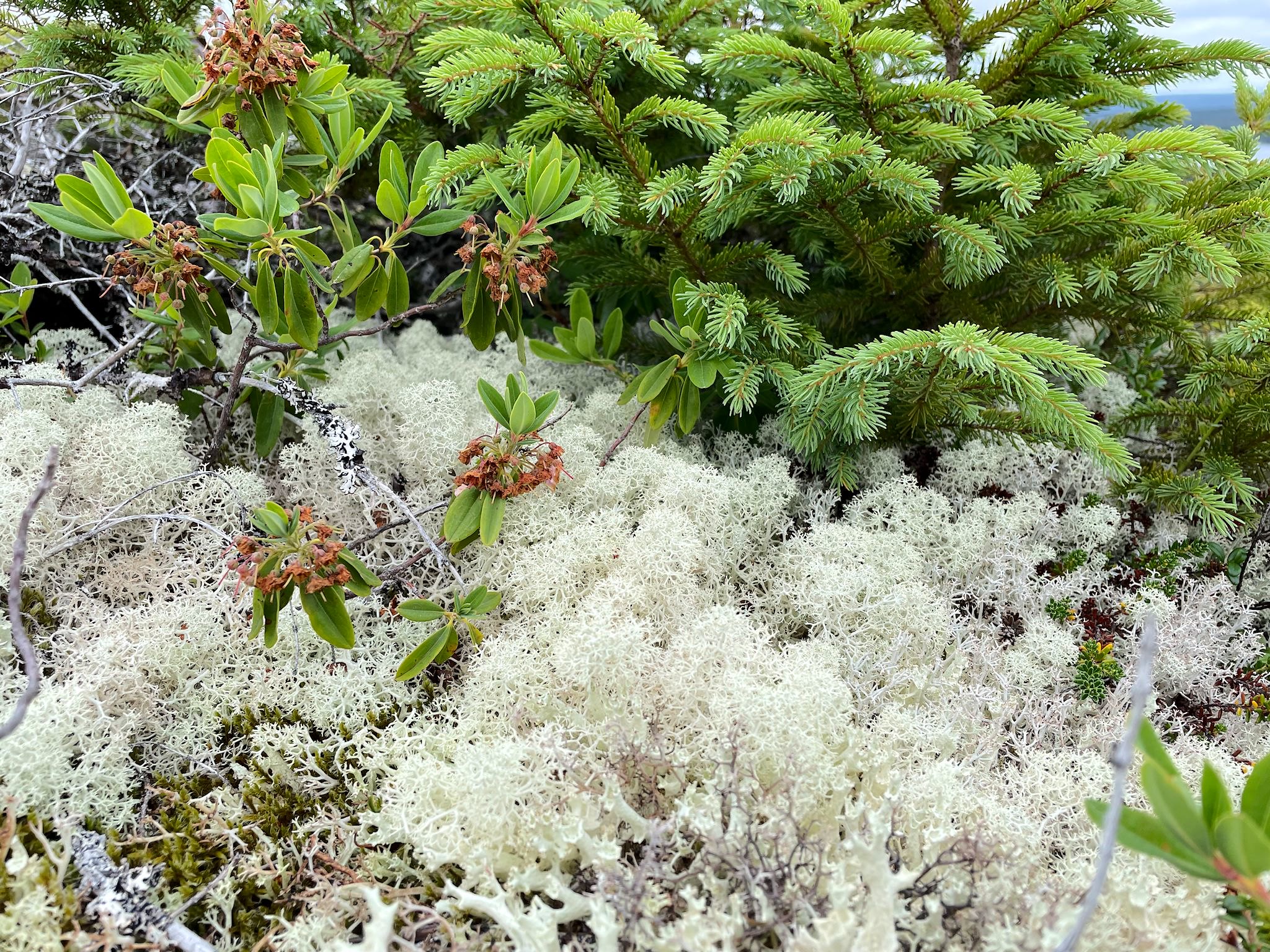
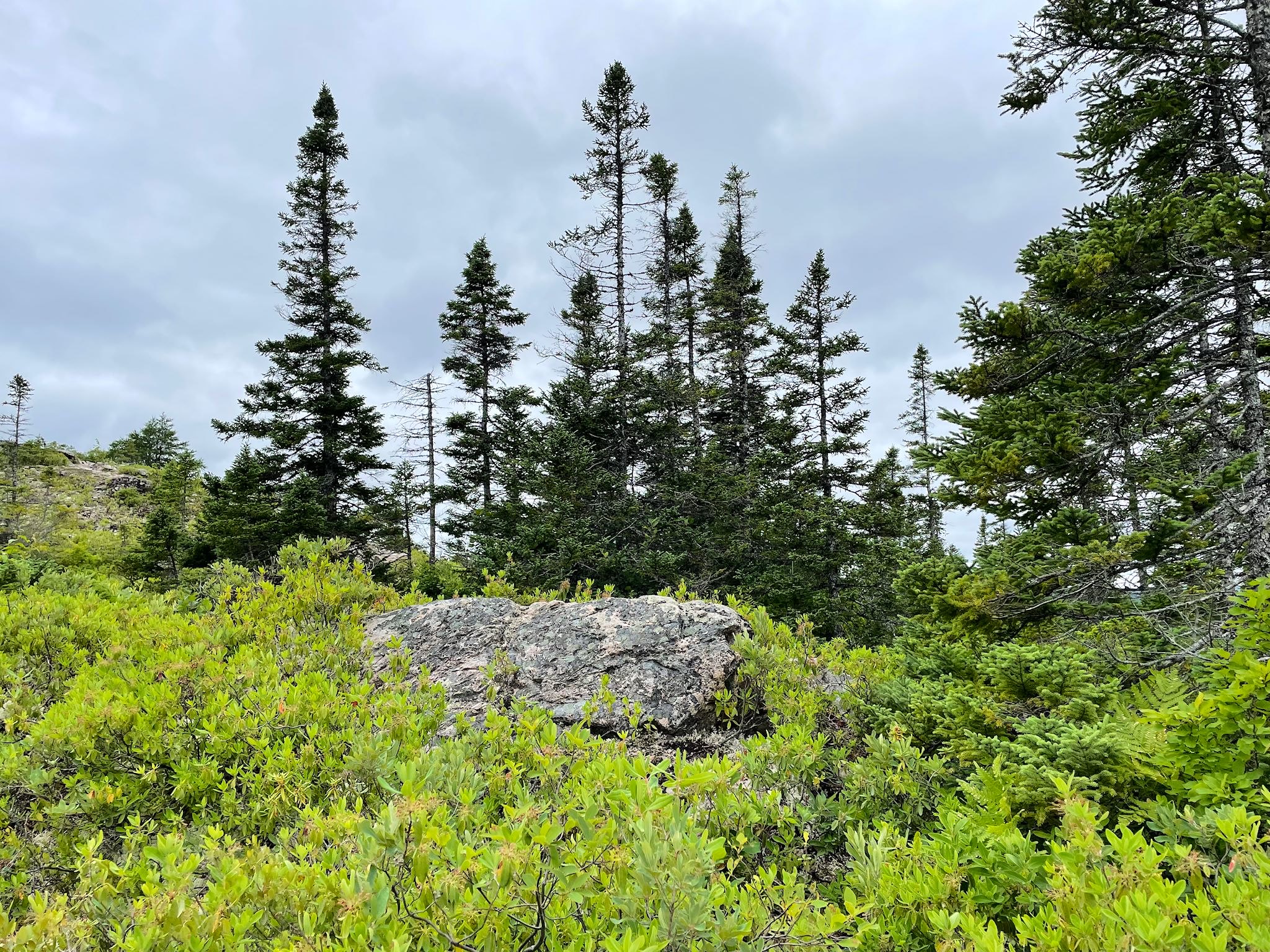
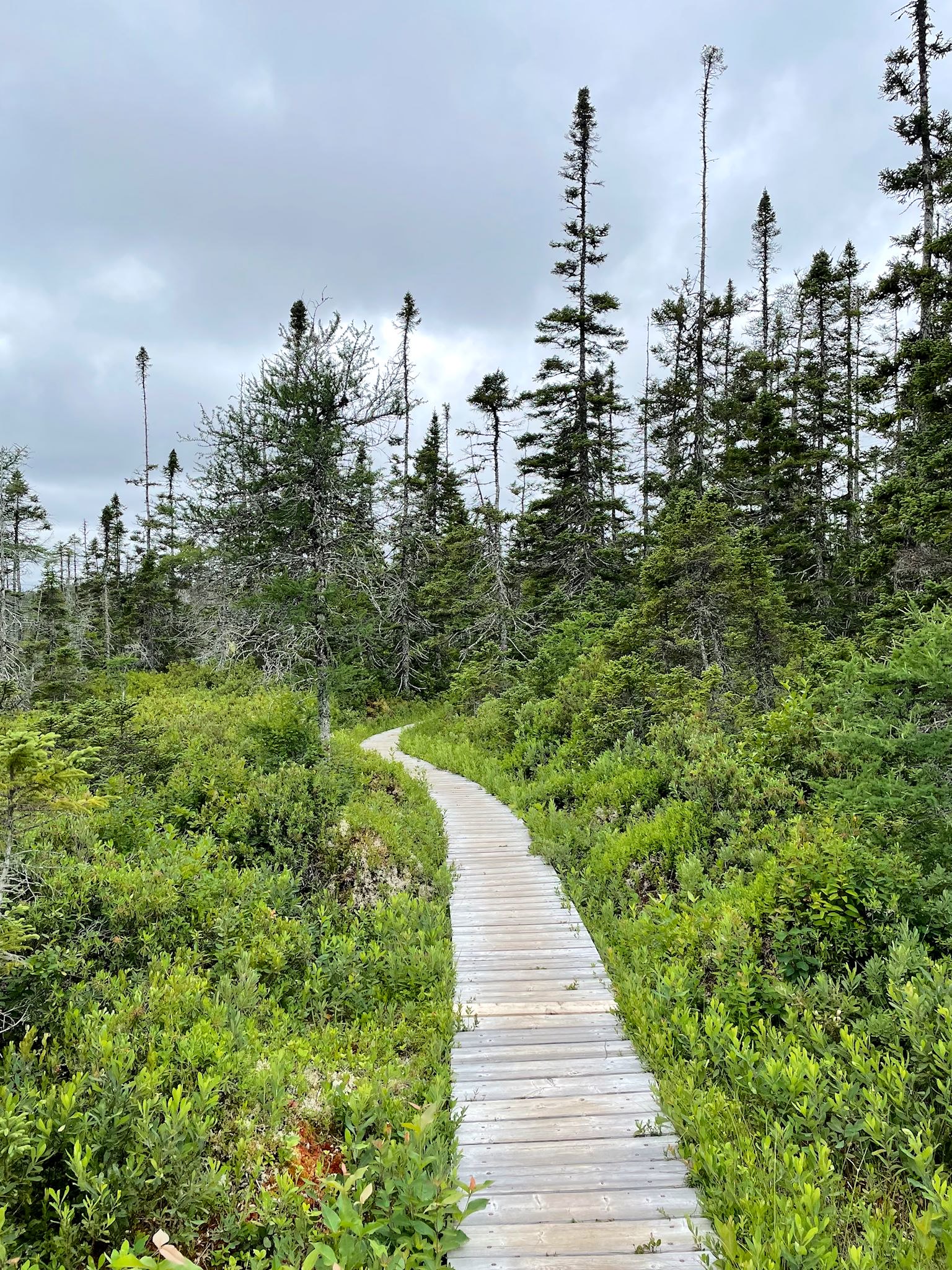
We still had energy left after hiking to Malady Head, so we added a quick hike to Mill Cove Lookout on the way back to camp. Best hiking cost/benefit ratio ever! A relatively easy half-hour walk across a boardwalk followed by a scramble up a barren granite knob provided us with a 360-degree view that included Mill Cove, Northeast Arm and the small town of Traytown. The barren, wind-swept summit was filled with small hardy plants, flowers and mosses that grow slowly anywhere they can reach a bit of soil. Lichen of many varieties created a fun patchwork of color among the rocks.
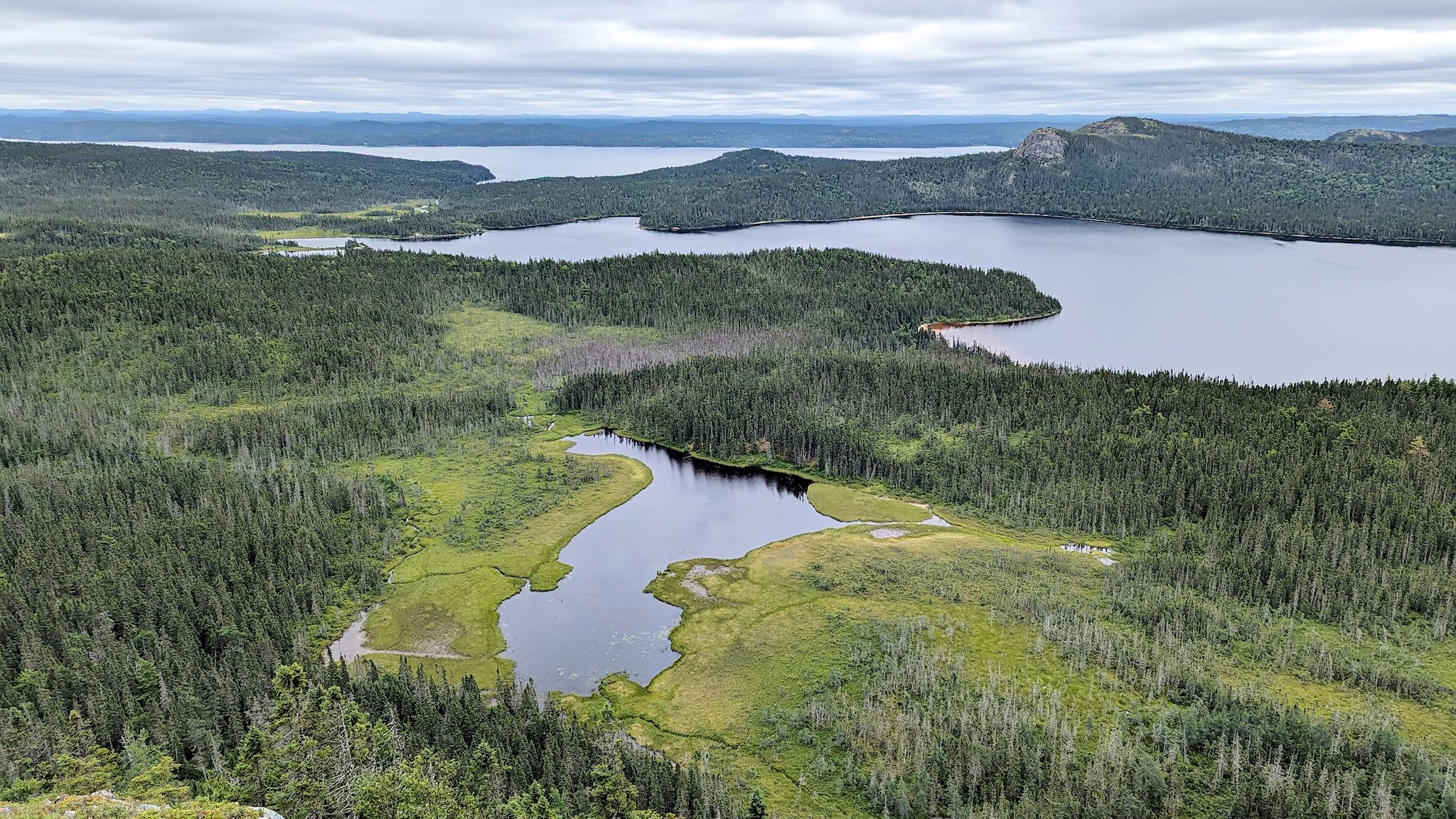
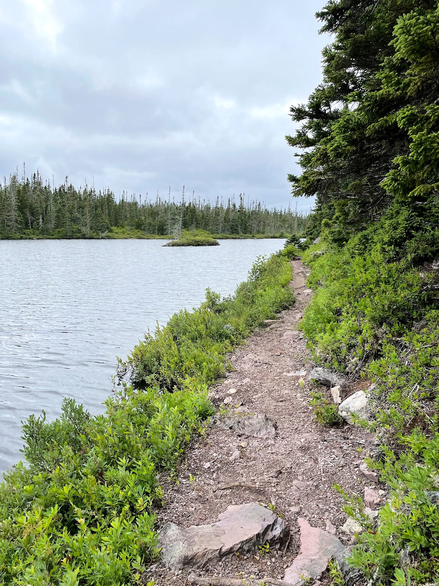
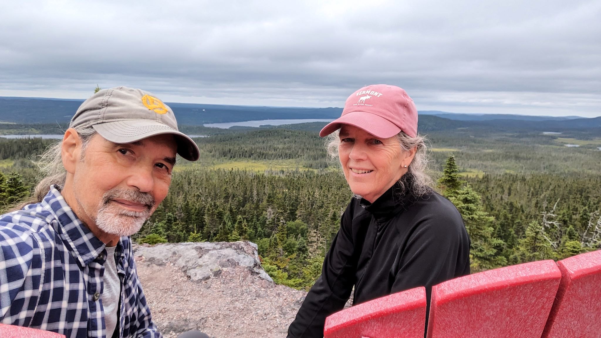
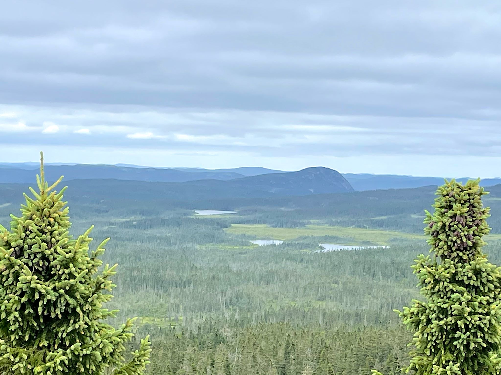
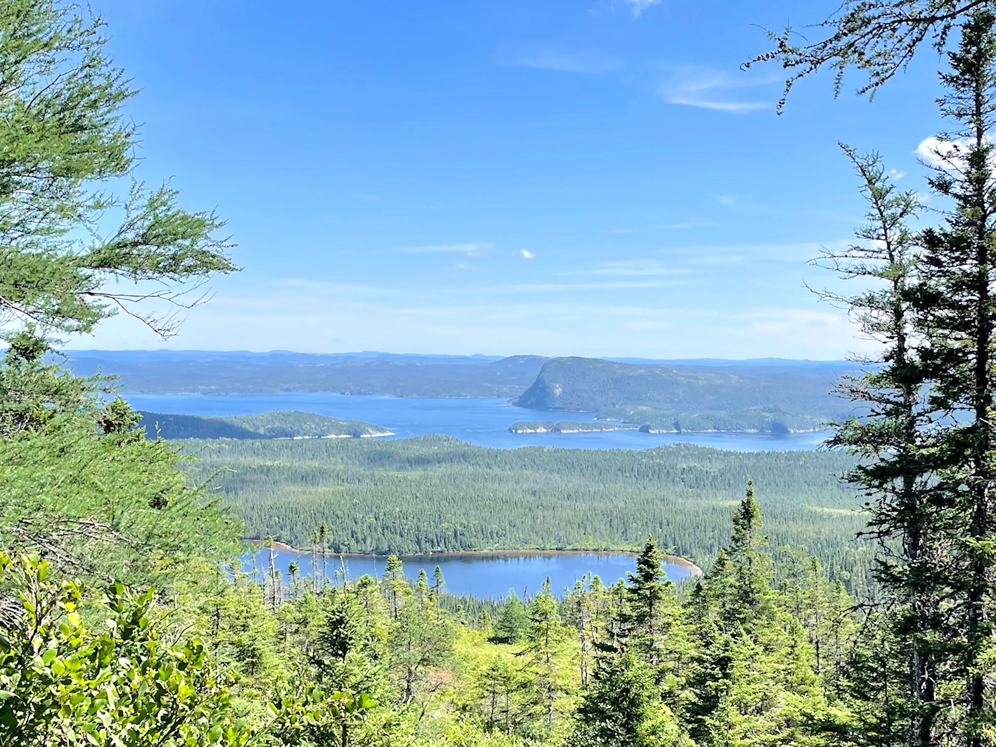
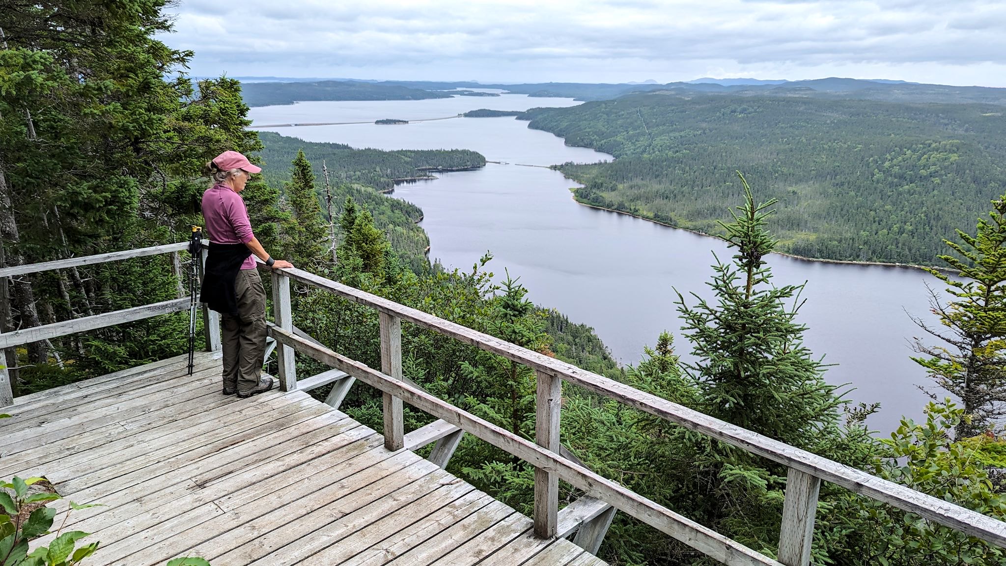
The Ochre Hill trail description promised breathtaking views without even climbing to the top of Ochre Hill. The first half of the hike followed the shores of the three Ochre Hill Ponds before climbing out of the forest onto a mostly rocky trail. We started getting views from the trail and had to keep pausing to look at our surroundings. Wow. From the lookout summit, we just stopped. Yes, breathtaking was an apt description. A full 360 degrees of long views blew us away. Sitting on the perfectly positioned bench, we realized we’d never seen such a grand view with so many different bodies of water – Bread Cove Pond, Clove Sound, an unnamed pond, and the Northwest Arm. Did I mention the photos just can’t capture what we saw…
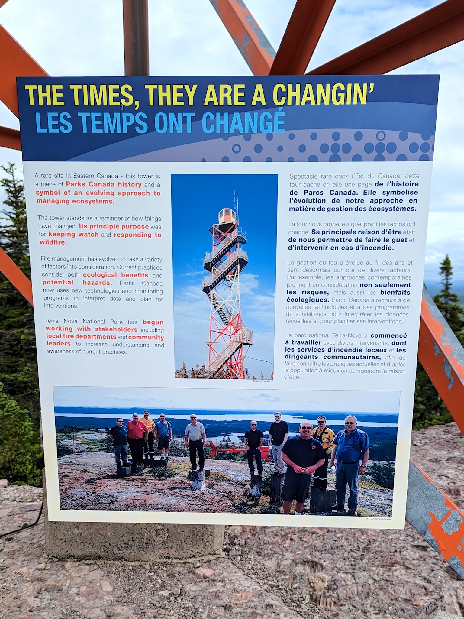
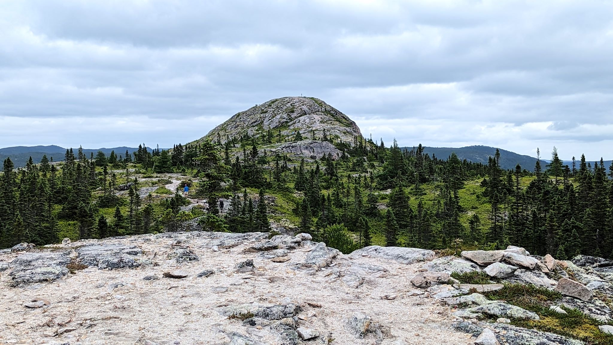
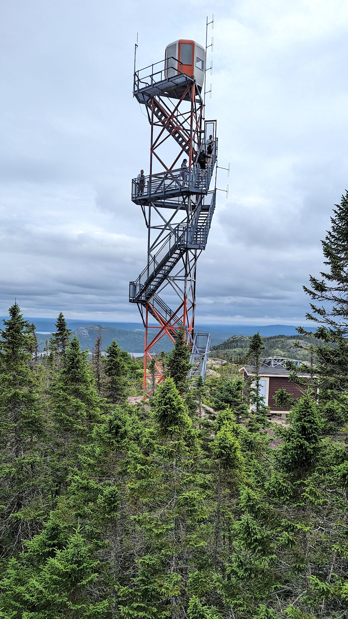
Oh, and the view to the north from the trail’s-end lookout was of Ochre Hill, which was topped with a huge firetower! This was not mentioned in the trail description. When we got back to the trailhead, of course we had to drive to the summit and check out the fire tower. A short trail at the summit featured bonus view points looking back toward Newman Sound and Mount Stamford, and the firetower provided a 360-degree view from a higher vantage point of our entire hike, including the lookouts. We’re glad we mentioned photos not capturing what we saw, but that isn’t going to stop us from trying…
For anyone who’s interested, more Blue Hill, Malady Head, Mill Cove Lookout, and Ochre Hill pix…