
Our change in plans afforded us 4 more days in which to choose a new adventure en route to Albuquerque. We spent three of them in Palo Duro Canyon State Park and loved every minute.
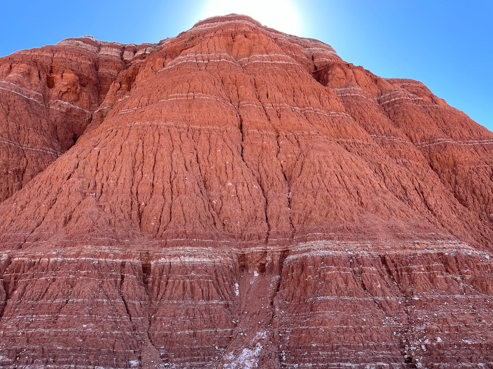
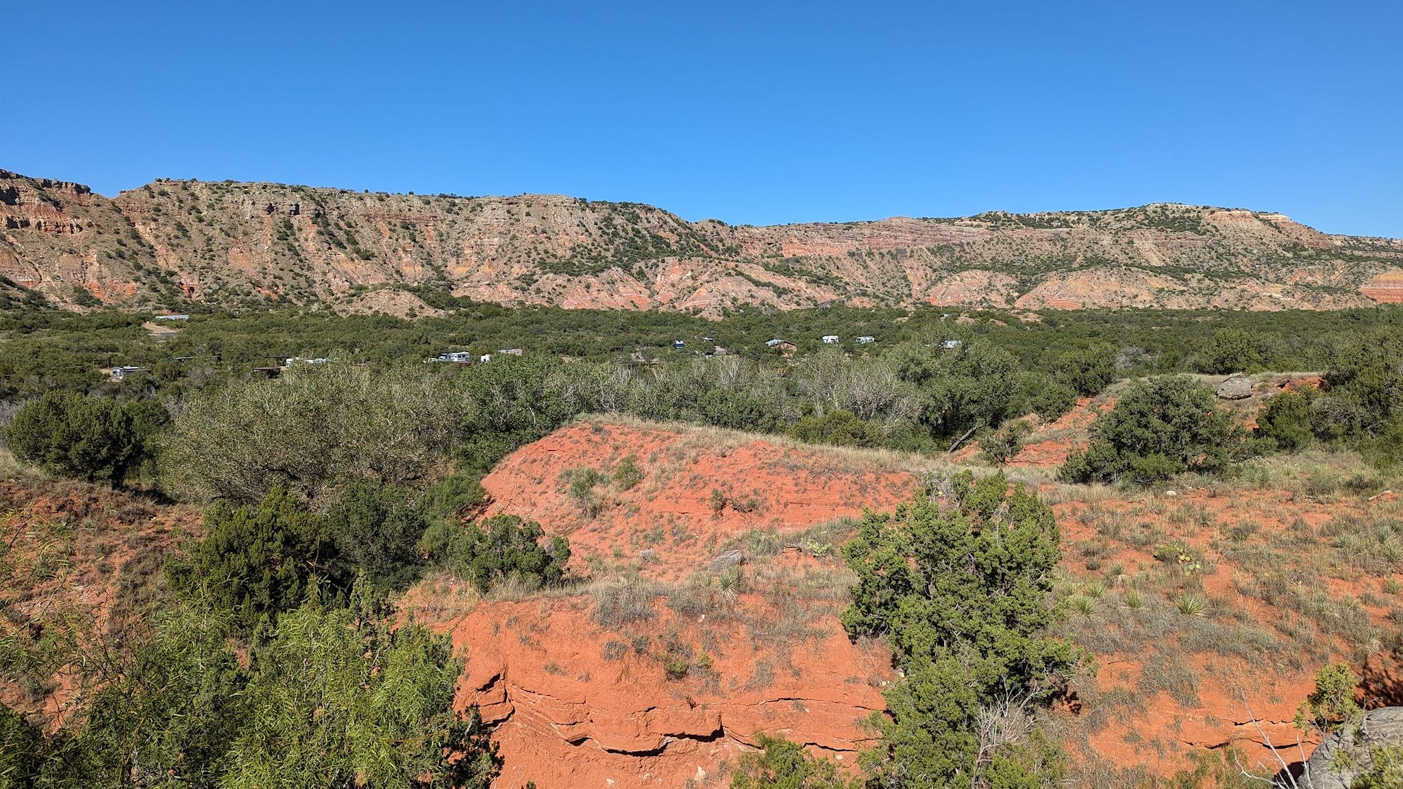
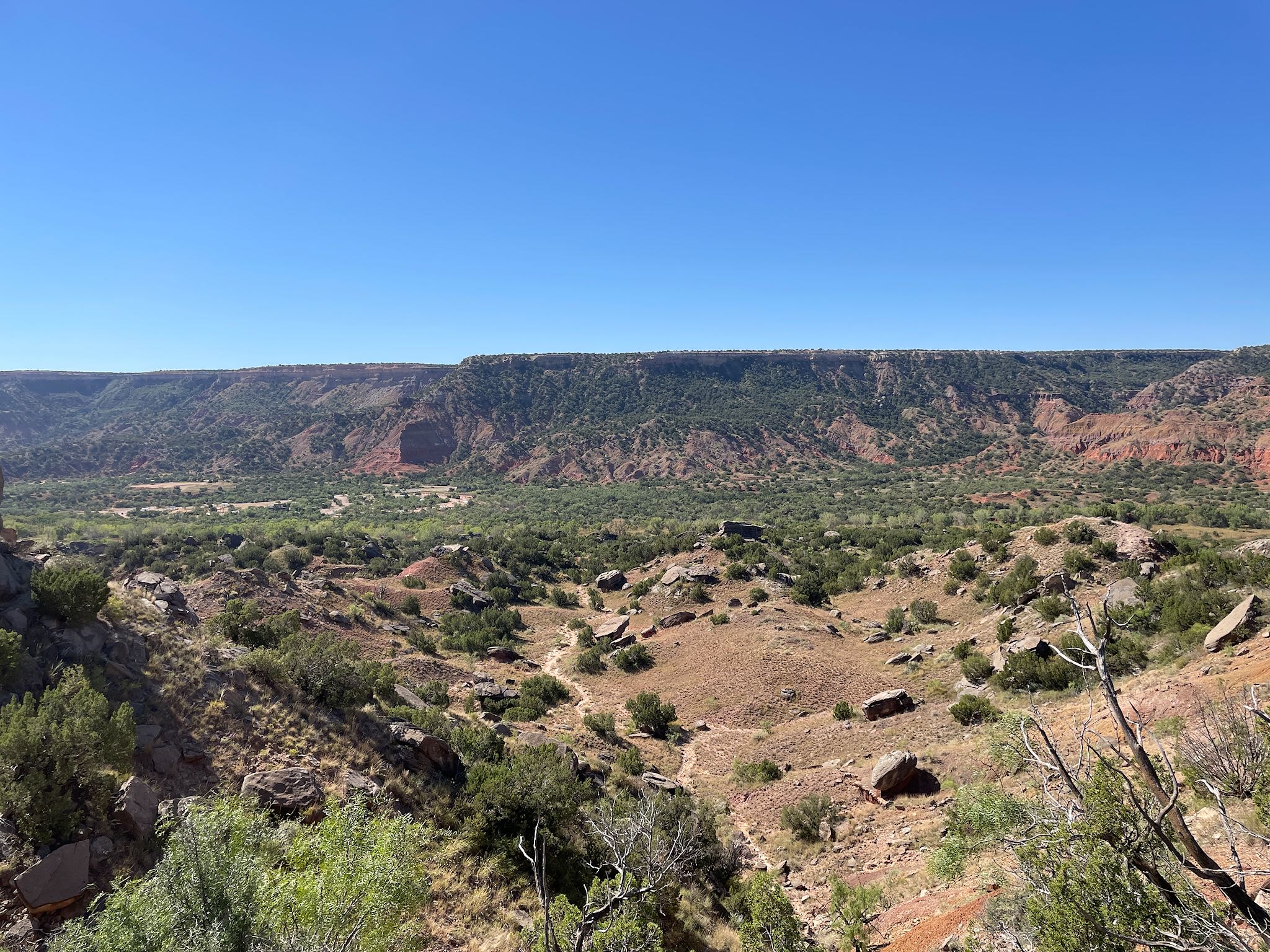
Palo Duro Canyon is the 2nd largest canyon system in the US, after (what else?) the Grand Canyon. Really? In the Texas Panhandle? Yup! It’s 40 miles long, averages 6 miles wide and drops 600 feet from the rim to the canyon floor.* The Prairie Dog Town Fork of the Red River cut the canyon over millions of year leaving behind caves, hoodoos and colorful rock and sandstone formations. Unlike the Grand Canyon, most of the action at Palo Duro takes place on the canyon floor.
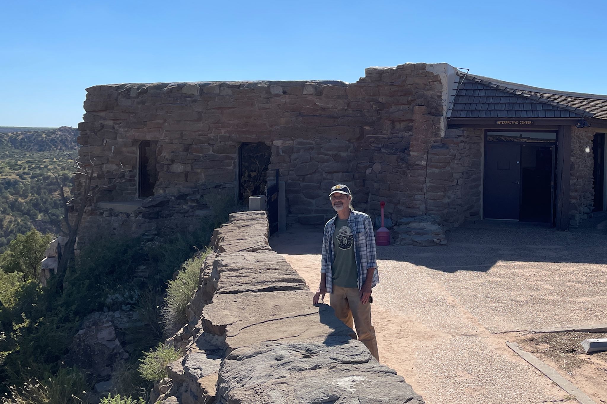
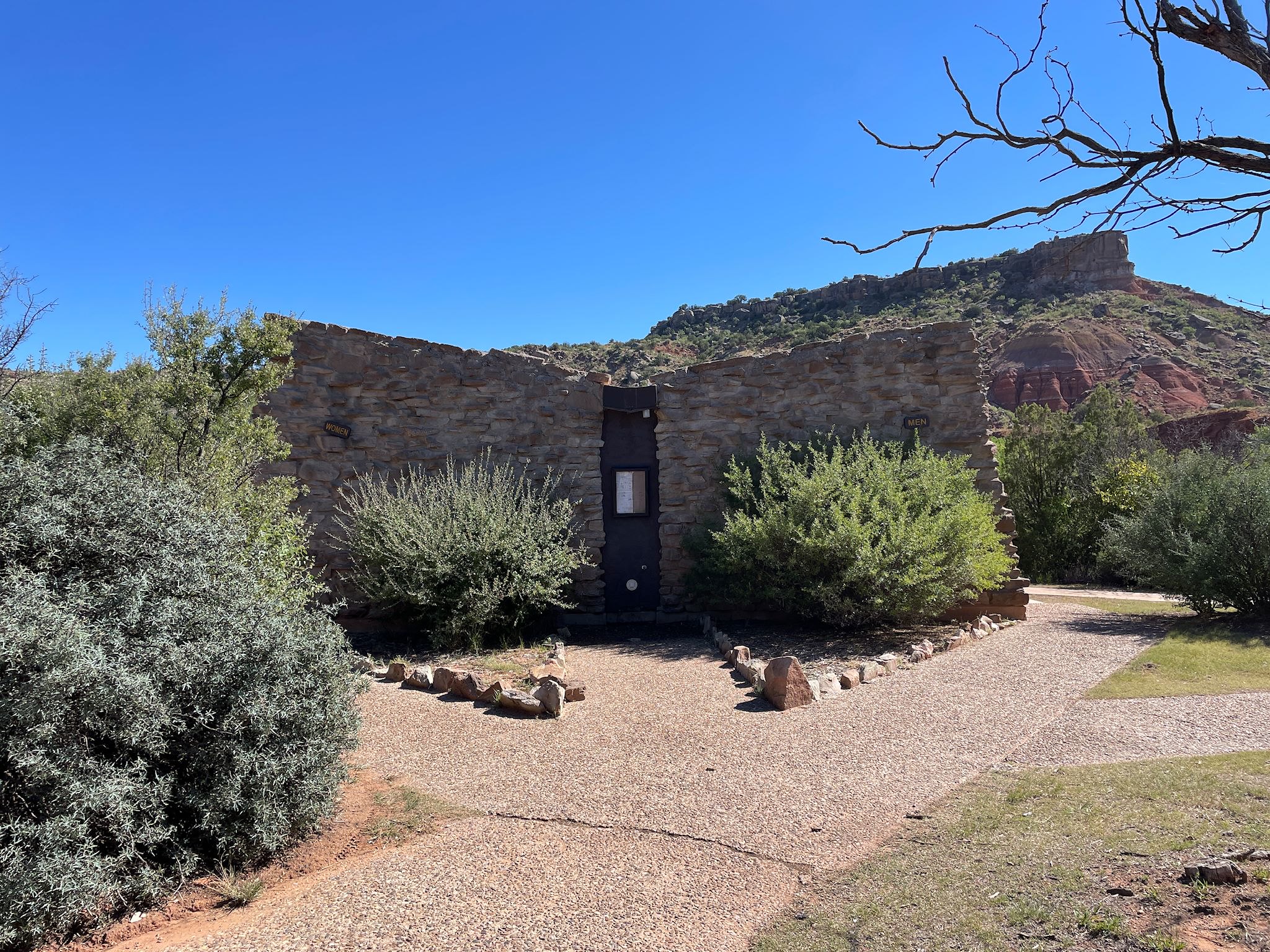
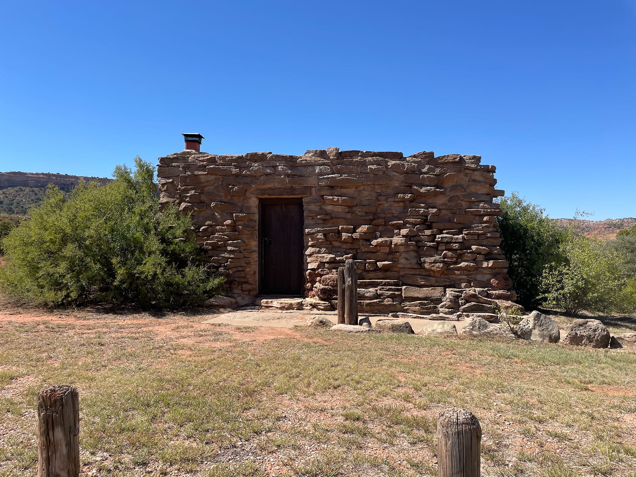
The park was developed in 1933 with assistance from the CCC. A dramatic road was carved into the canyon wall from the rim to the floor. The CCC work included the interpretative center, restrooms in the campgrounds, and the cow camps. Build of stone from the canyon, these structures almost look like natural part of the canyon. We think Frank Lloyd Wright would approve.
The hiking trails were calling us…
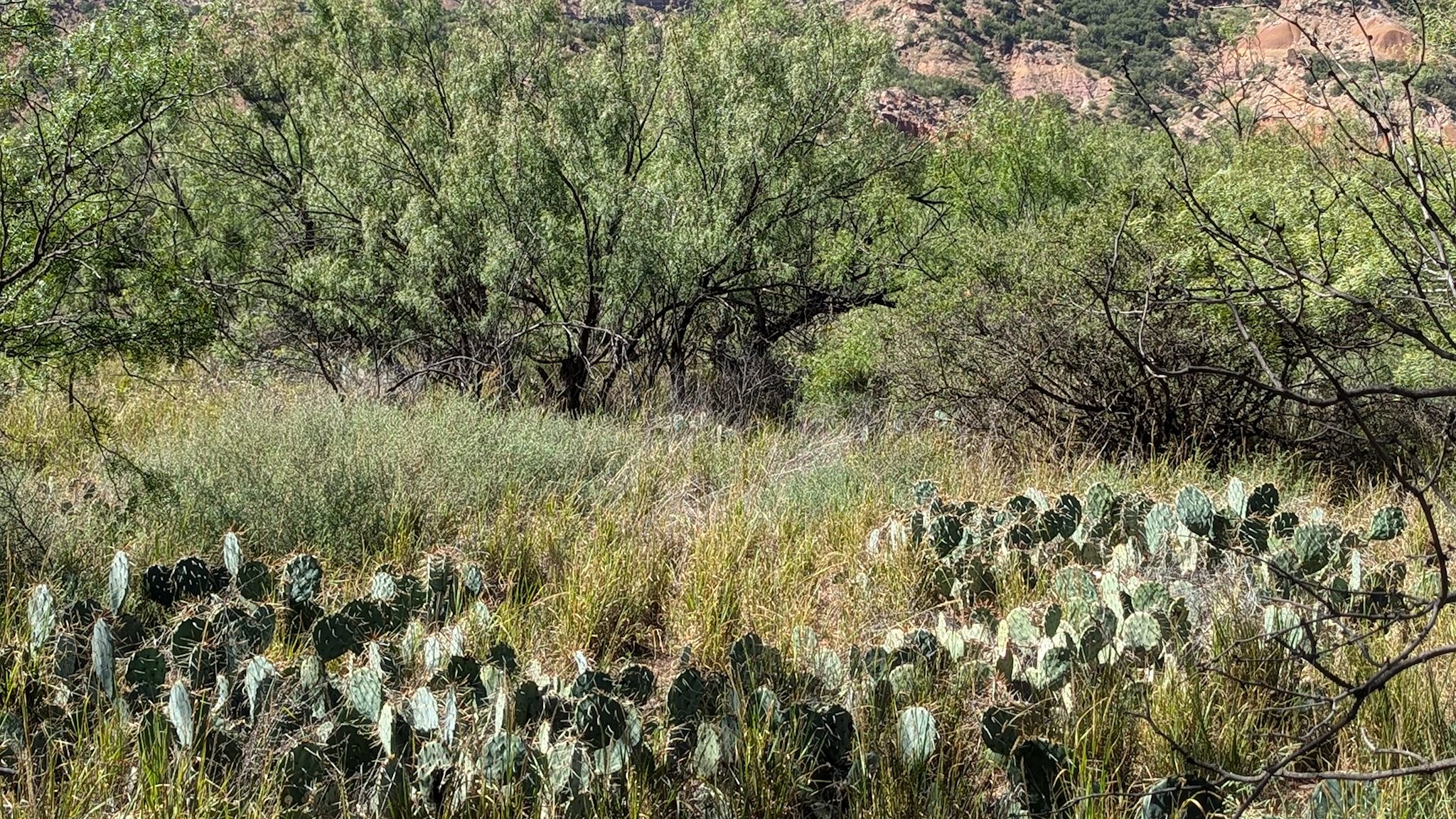
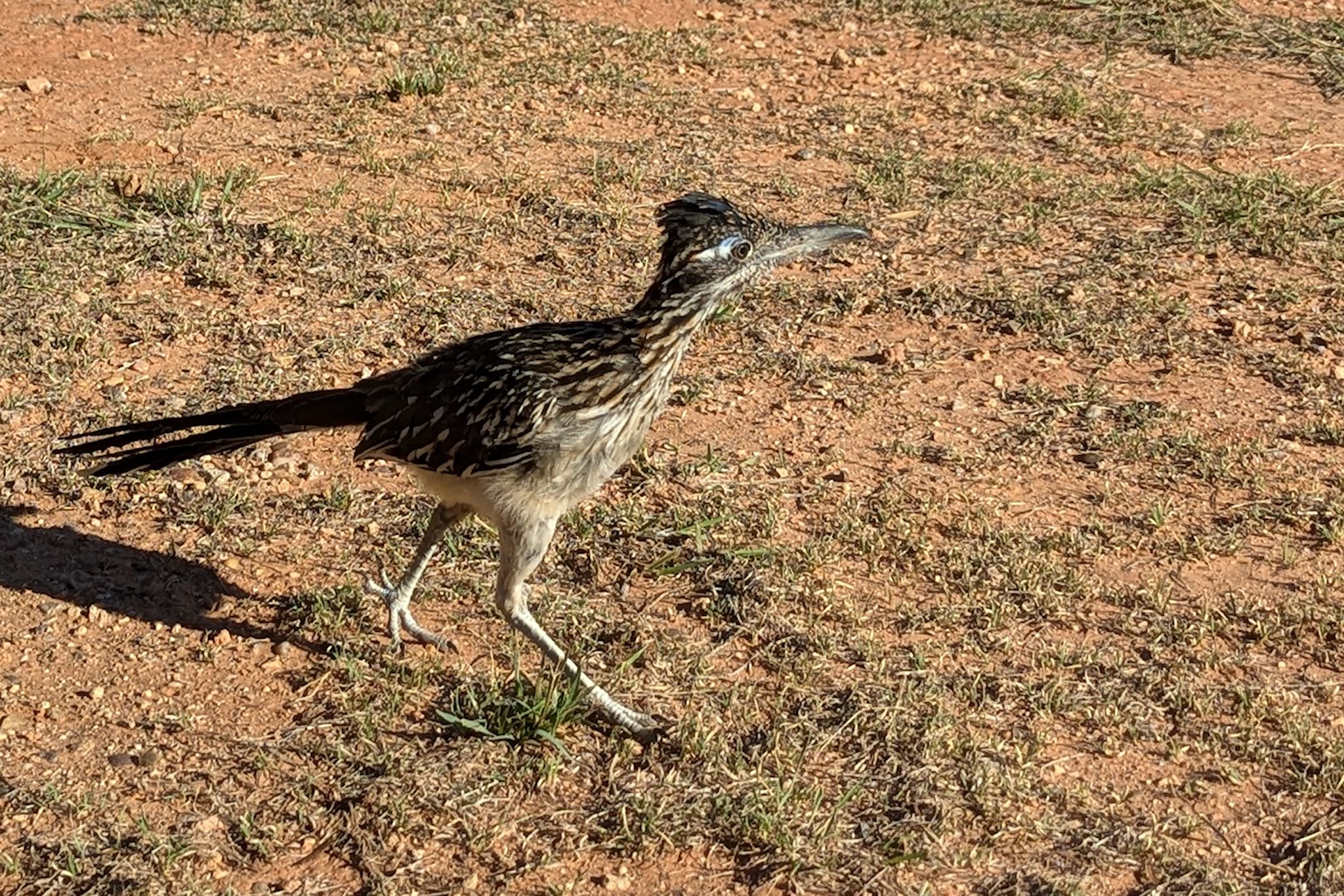
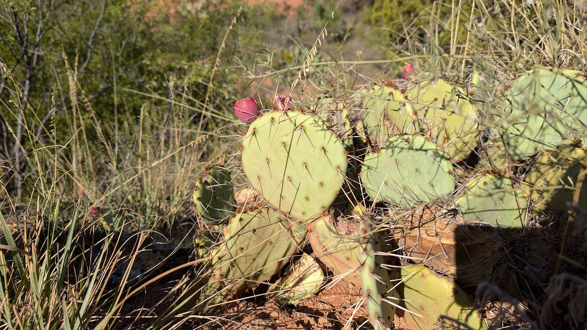
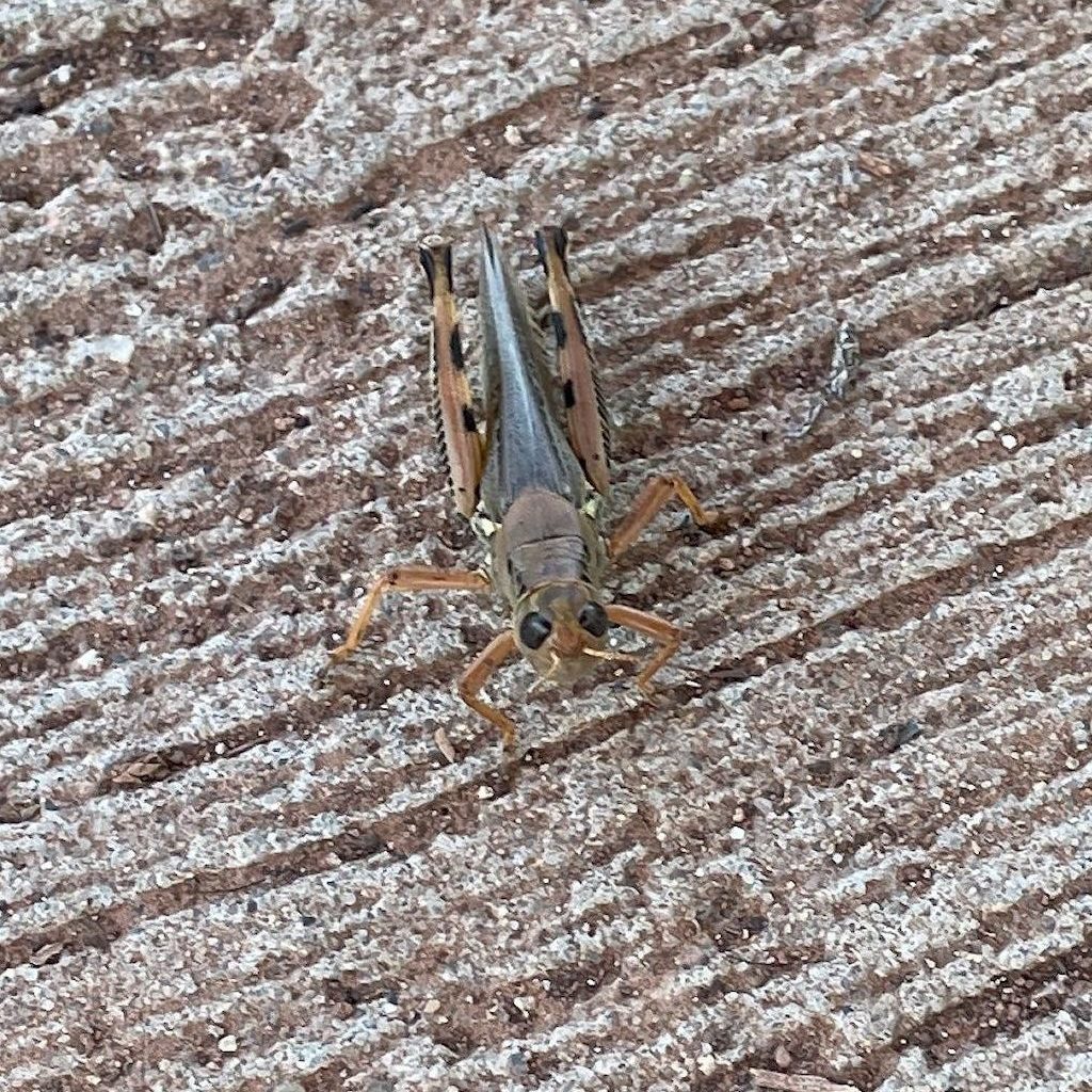
Our first evening included a short pleasant walk on the Pioneer Trail to the Red River which was dry. It served to introduce us to new critters – the road runners were fun – and reintroduce us to sandstone hiking trails through cacti.
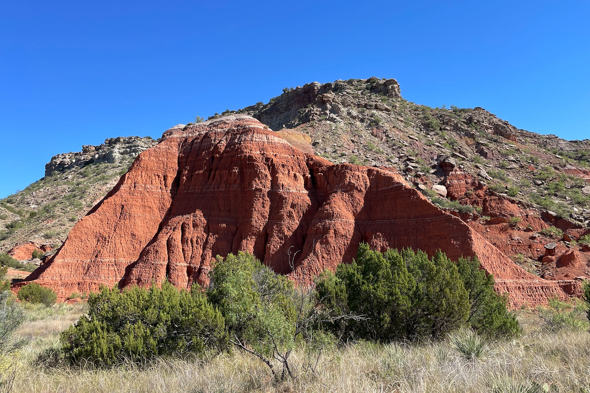
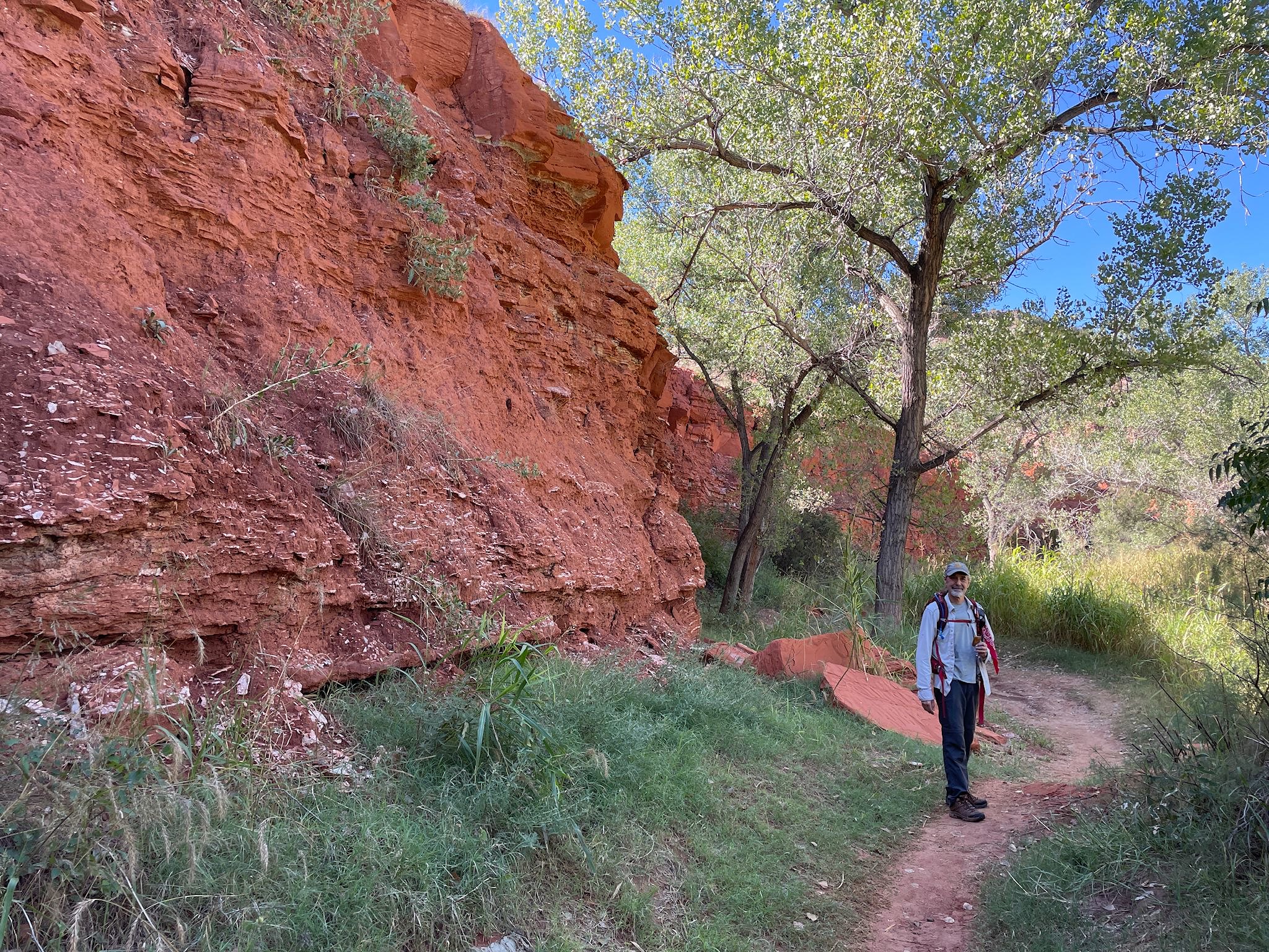
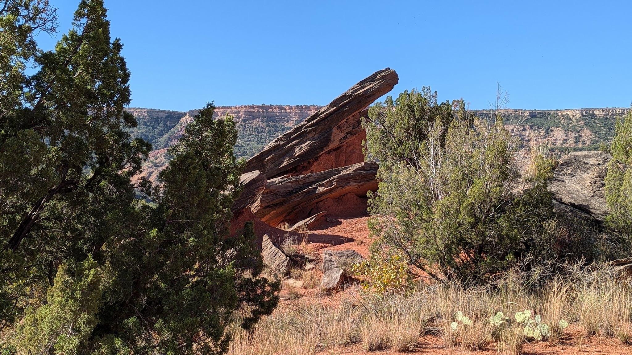
The Upper Comanche/Kiowa Trails loop was quite close to our campground and could be reached via a spur that started (quite conveniently) just next to our campsite. After taking us across the Red River (dry, right now), the Upper Comanche trail climbed gradually to a delightful ridge about halfway up to the canyon rim where we meandered with long views every step of the way. We were treated to up close views of one giant red sandstone structure after another. Our return on the Kiowa trail started below a series of tall sandstone cliffs and along yet another dry river bed. We were surprised at one point by a flock of blue-headed turkeys!
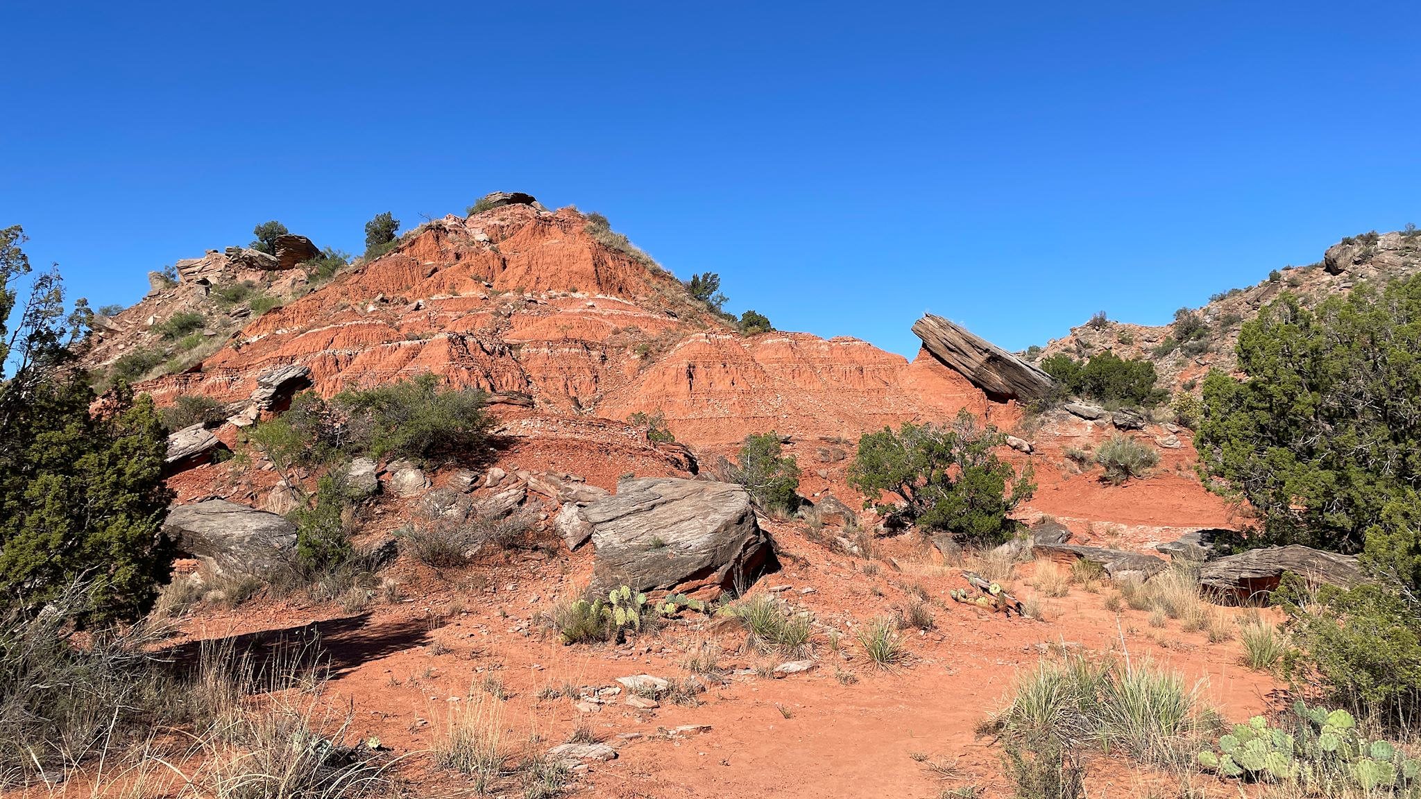
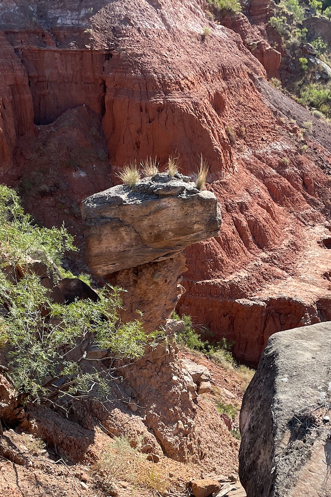
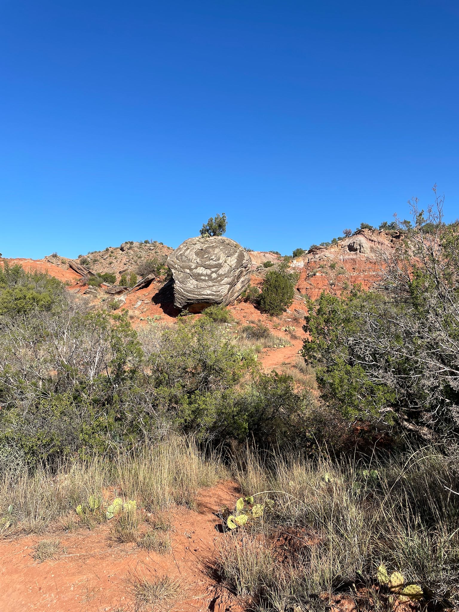
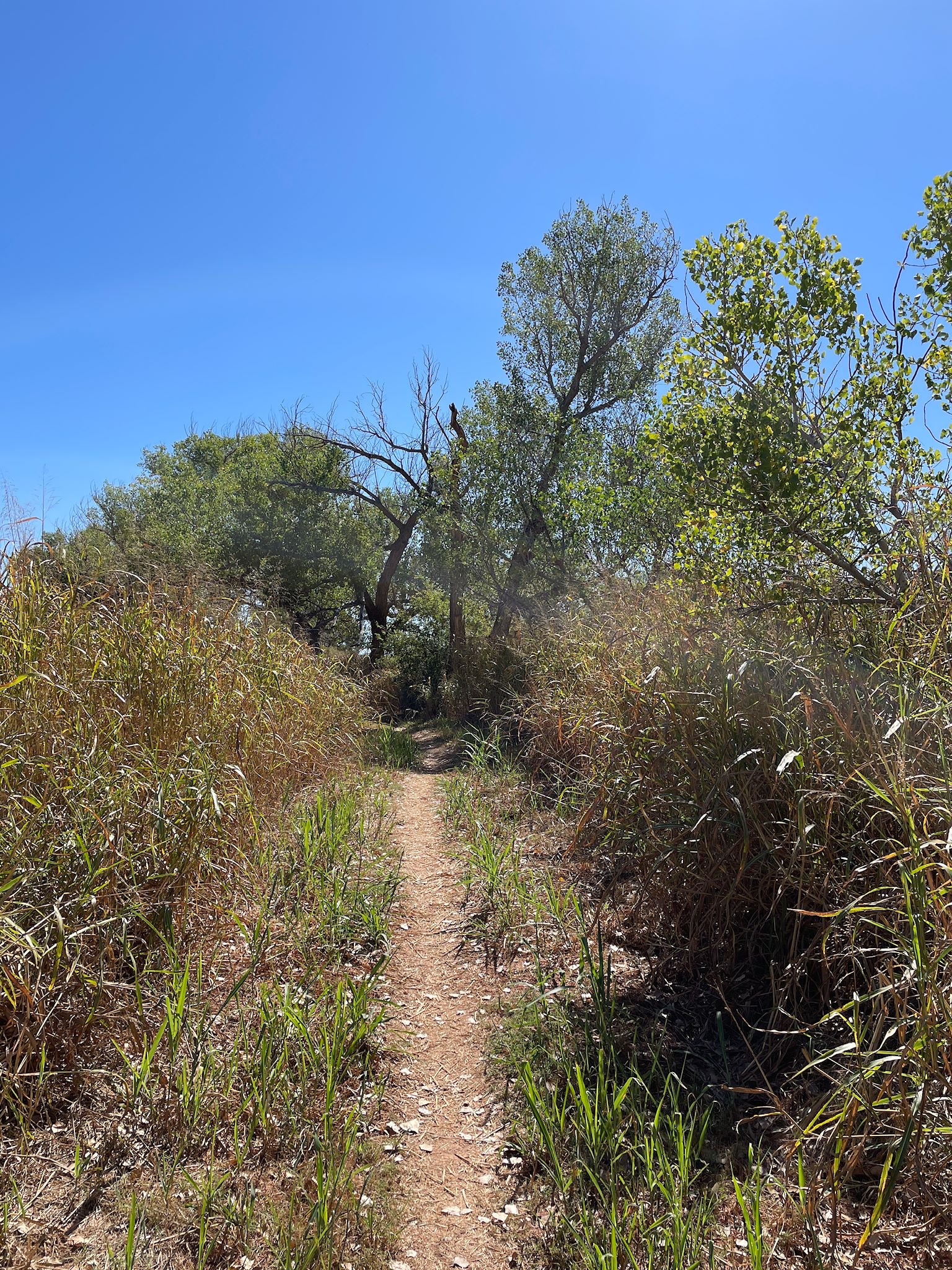
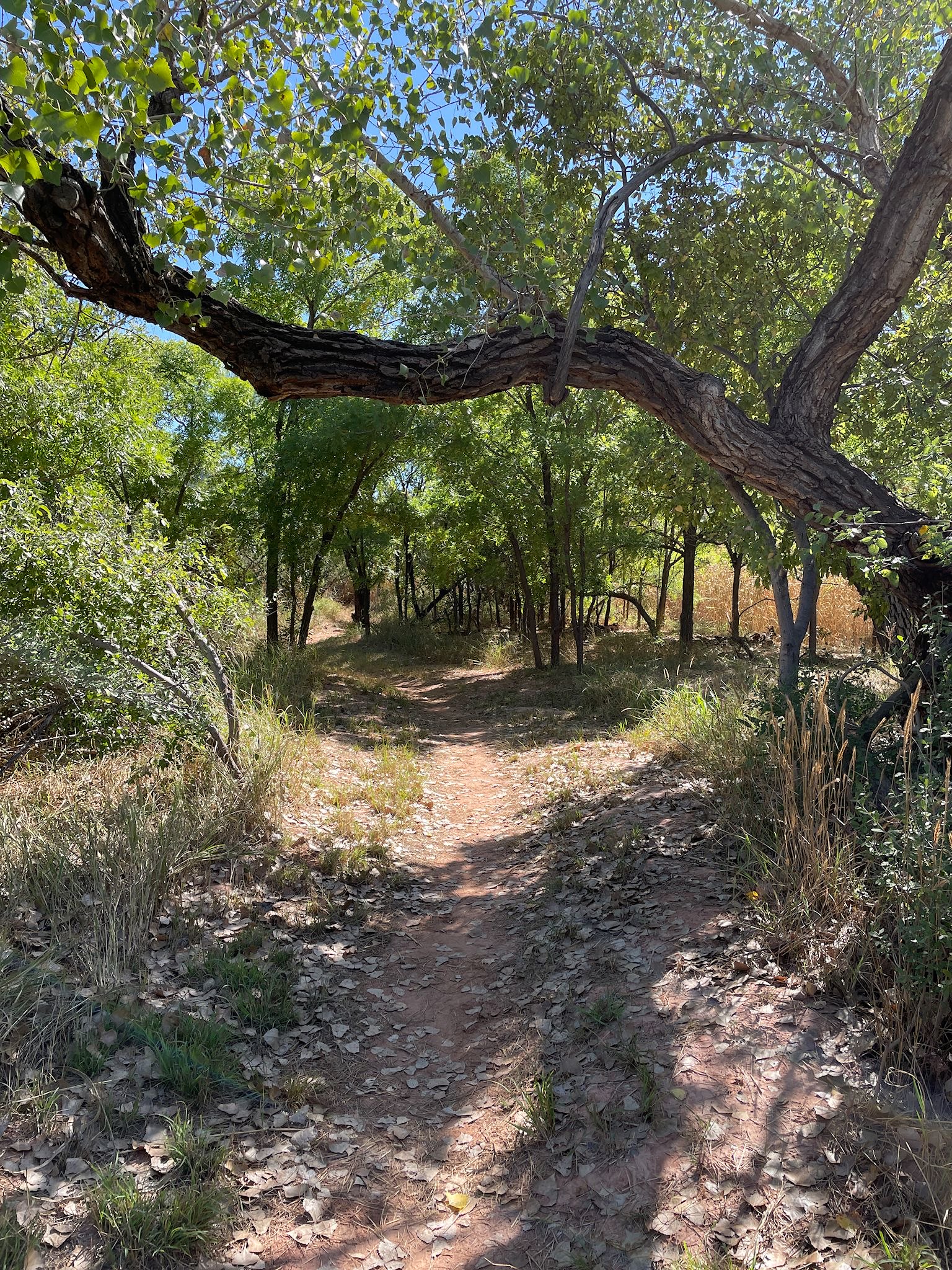
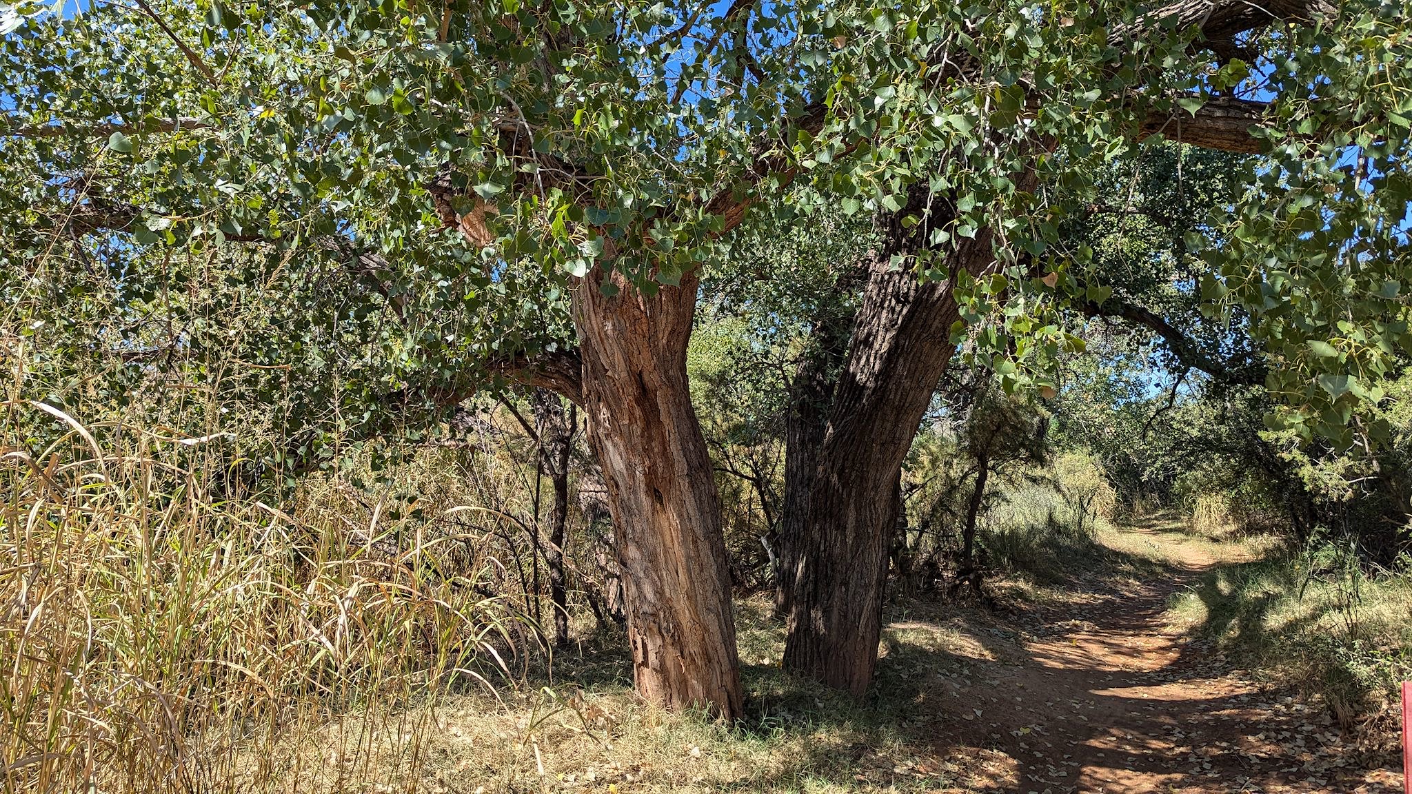
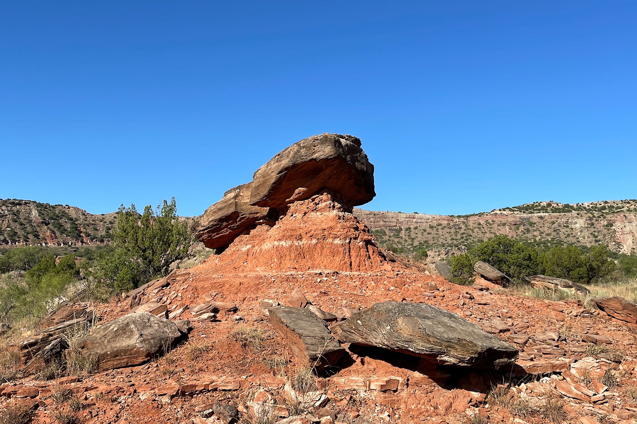
The Lower Comanche/Rock Garden/Cottonwood Trails loop provided us quite a different view of canyon floor. The Lower Commanche trail took us up a bit higher along the canyon wall, past a variety of hoodoos of many shapes and sizes. We named a few of them (which may not match their official names…). Like the Punk Hoodoo and the Hornet’s Nest. In the Rock Garden, formed by an ancient landslide, we wandered among rocks that just all seemed out of place with the geology of the canyon floor. A little further along, drawing from our recent experience in St Louis on another eponymous trail, we recognized some familiar-looking tall trees. Of course at that point we were (again) along the Cottonwood Trail, except this one was in Texas! Based on the cottonwoods (known to grow near water) and a few recently bulldozed mounds of red sandstone mud from a road-clearing effort, we were indeed reminded that we were at the bottom of a canyon where water continues to do its work.
For anyone who’s interested, more Palo Duro Canyon, Upper Comanche/Kiowa, Lower Comanche/Rock Garden/Cottonwood pix…
_____
*It’s worth pointing out that there’s quite a gap between #1 and #2 (the largest and second largest canyon systems in the US). By comparison, the Grand Canyon is 278 miles long (7X!), averages 10 miles wide (almost twice) and about 1 mile deep (9X). Here’s more about our 2017 visit…