We really wanted to visit Joshua Tree National Park as we head east. We didn’t know what to expect with the government shut down, and in this case we were pleasantly surprised. With the help of many volunteers and paid staff from the Joshua Tree National Park Association, a non-profit partner that provides support to JTNP to meet all of its goals, and a skeleton crew of National Park Service staff, the entire park was open and almost fully operational. We made sure to thank all of the volunteers and staff for their time and effort so that we could visit this wonderful place. Several thanked us back for having come despite the shutdown.
Proclaimed a National Monument in 1936 and legislated and renamed a National Park in 1994, Joshua Tree protects nearly 800,000 acres of land at the transition of the Mojave and Colorado deserts. The park highlights the concept of adaptation. Although the land may look barren from a distance, the desert is filled with plants and animals that have evolved to thrive in 100-degree heat with little water. And the indigenous people who first lived here learned to use every cactus, succulent and flower for food or medicinal purposes.
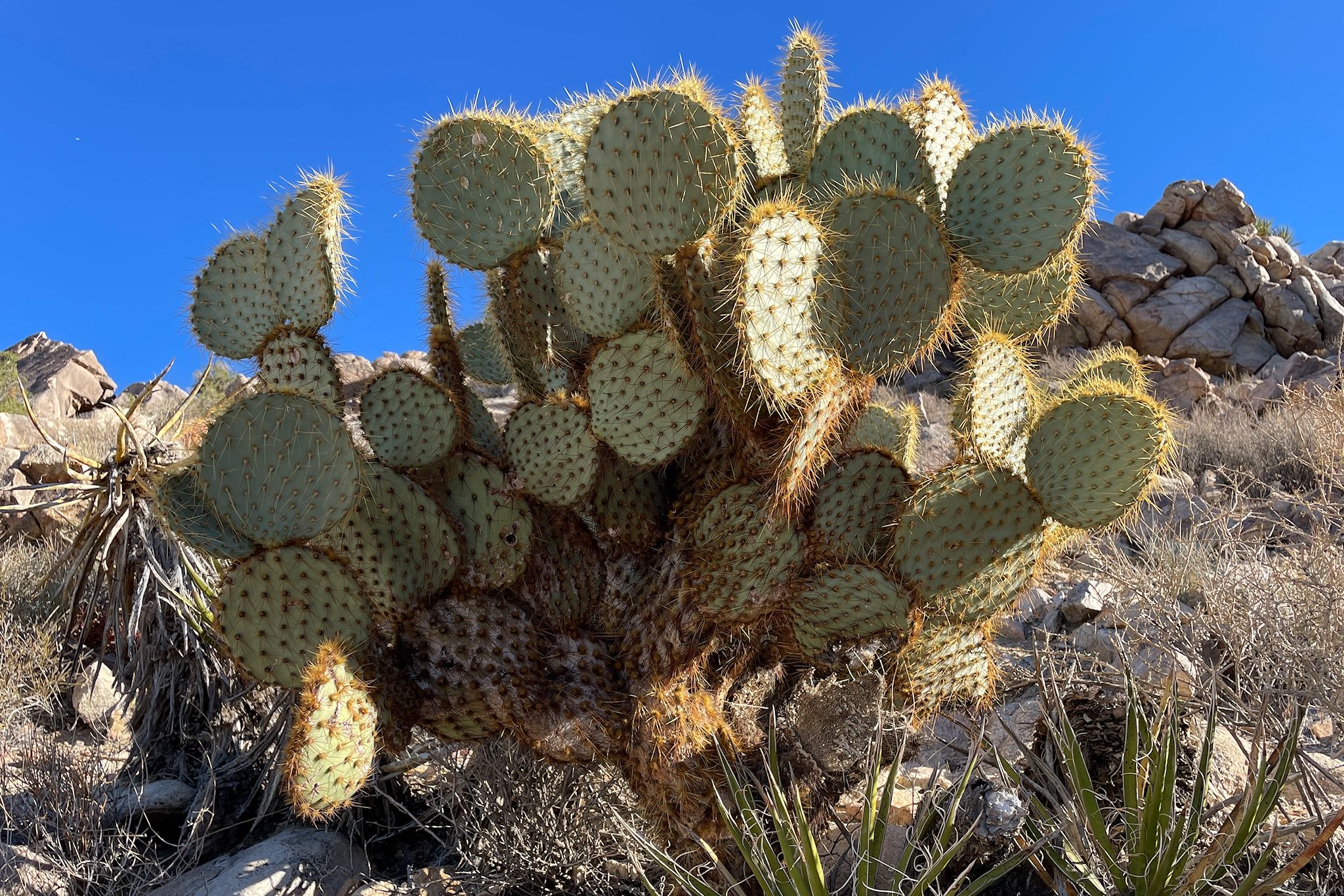
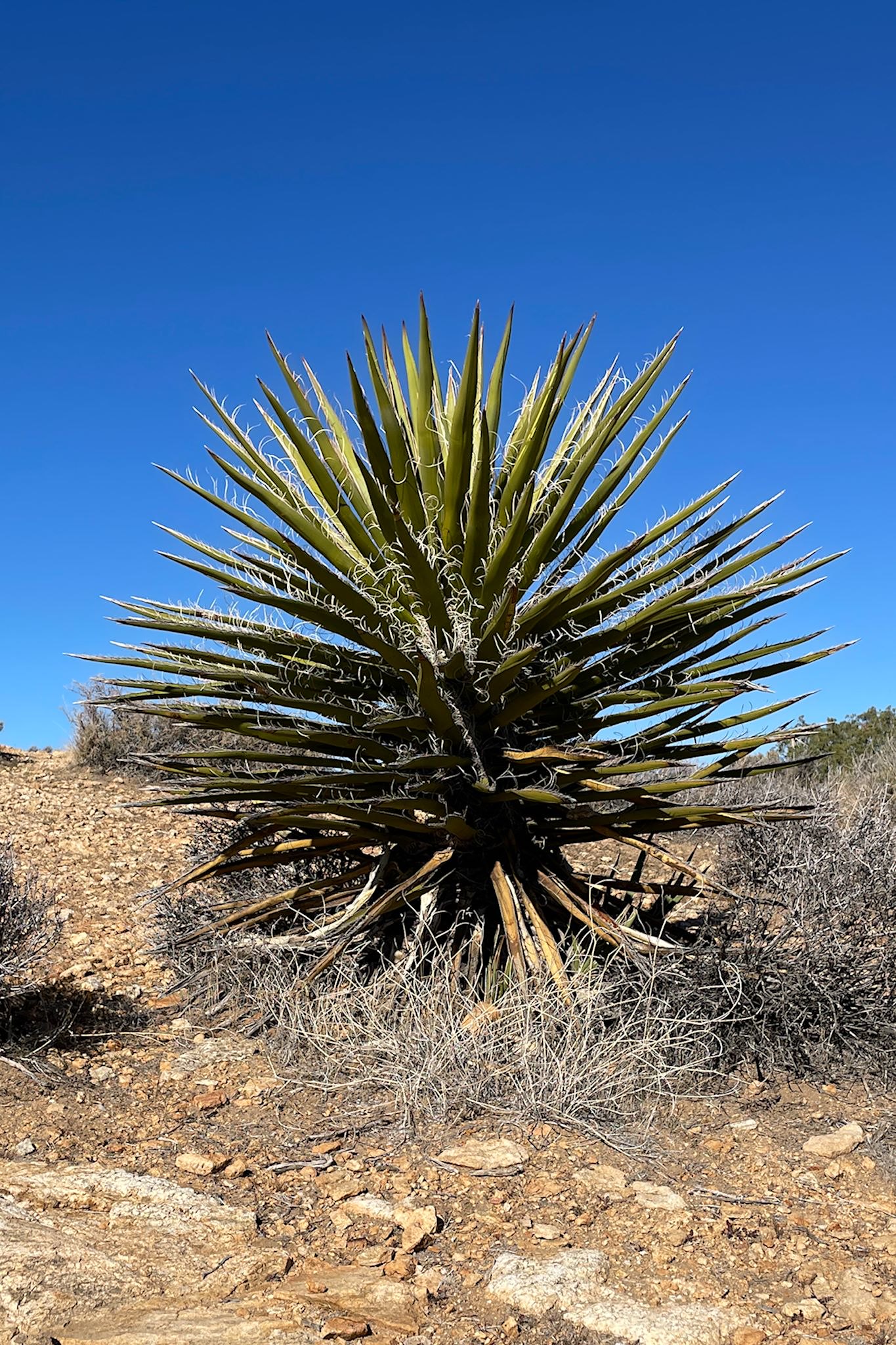
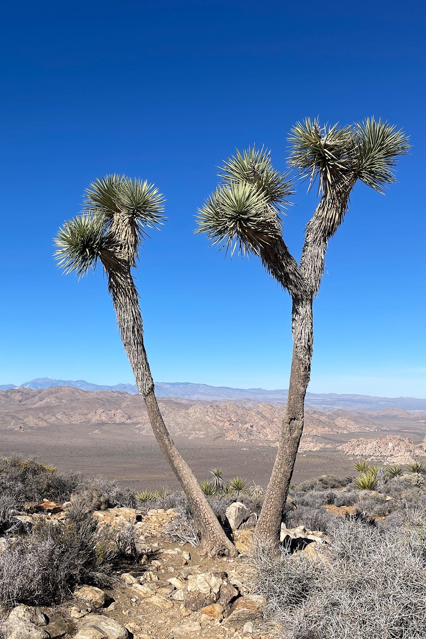
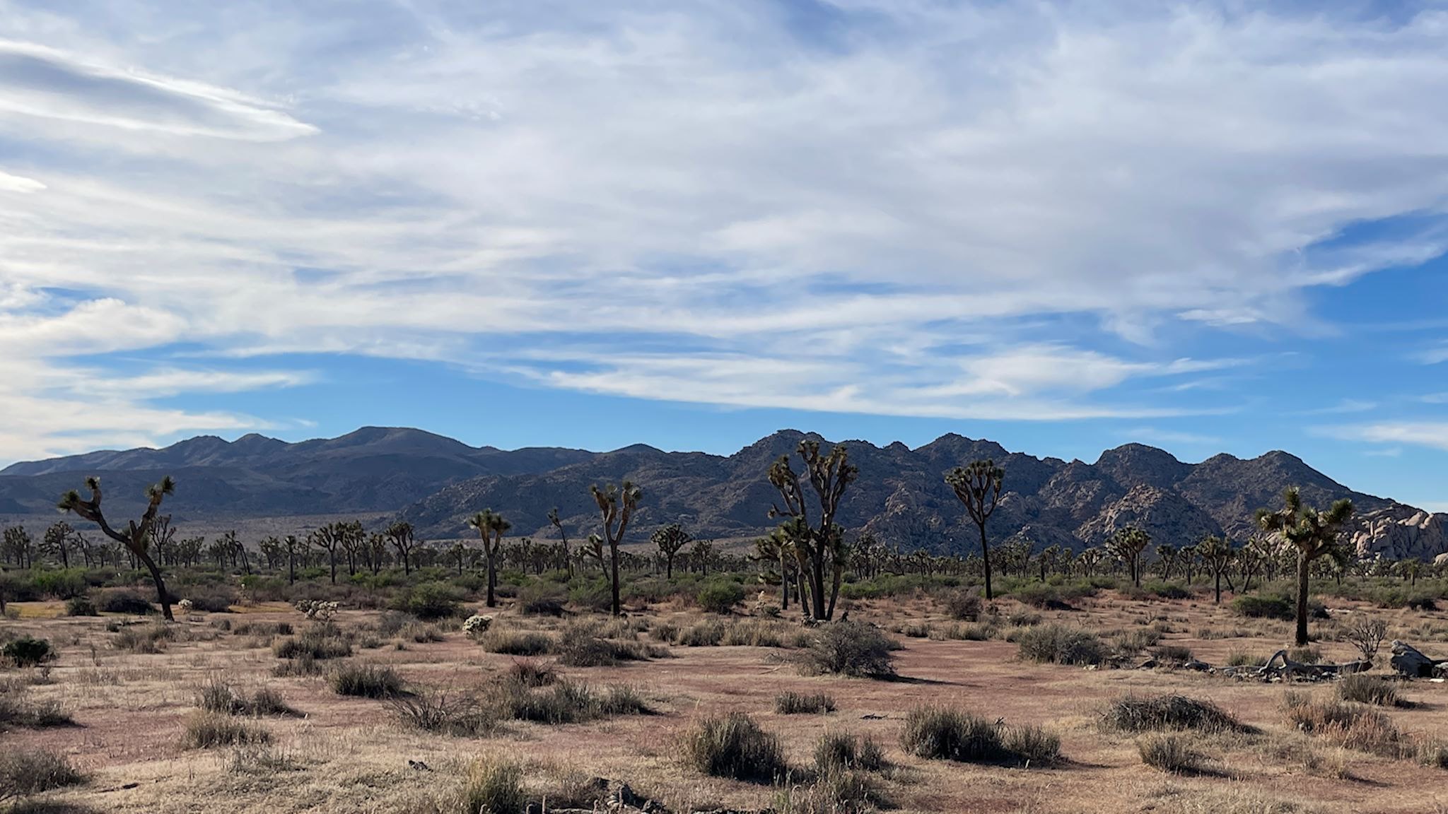
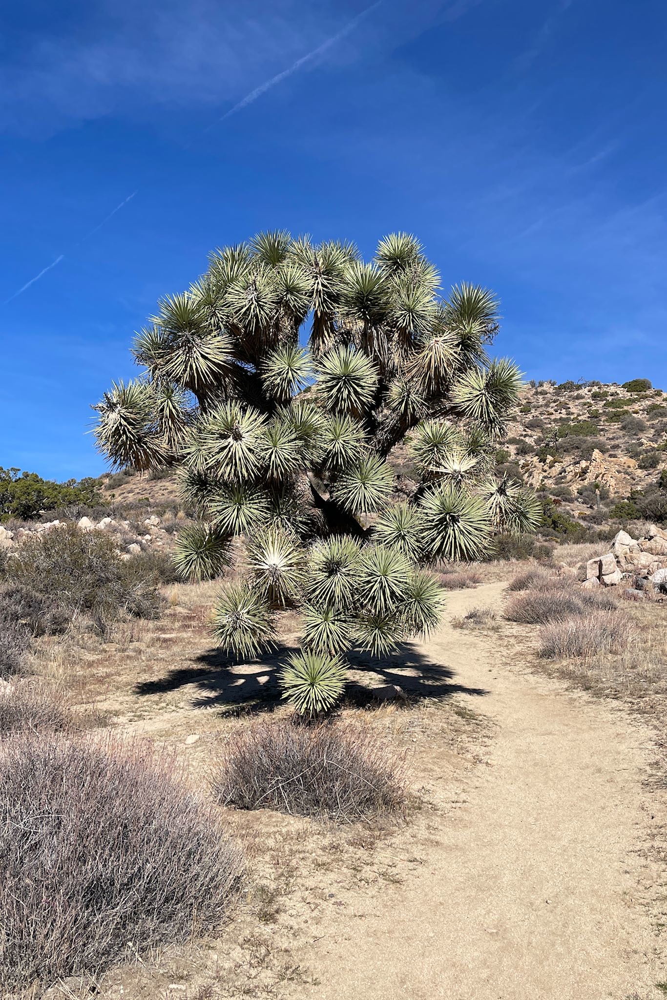
The western half of JTNP is a high desert environment at over 3,000 feet. This Mojave Desert features pinyon pines, junipers, scrub oaks, yuccas and prickly pear cacti. And of course Joshua Trees! Which are not really trees – they’re a yucca species.
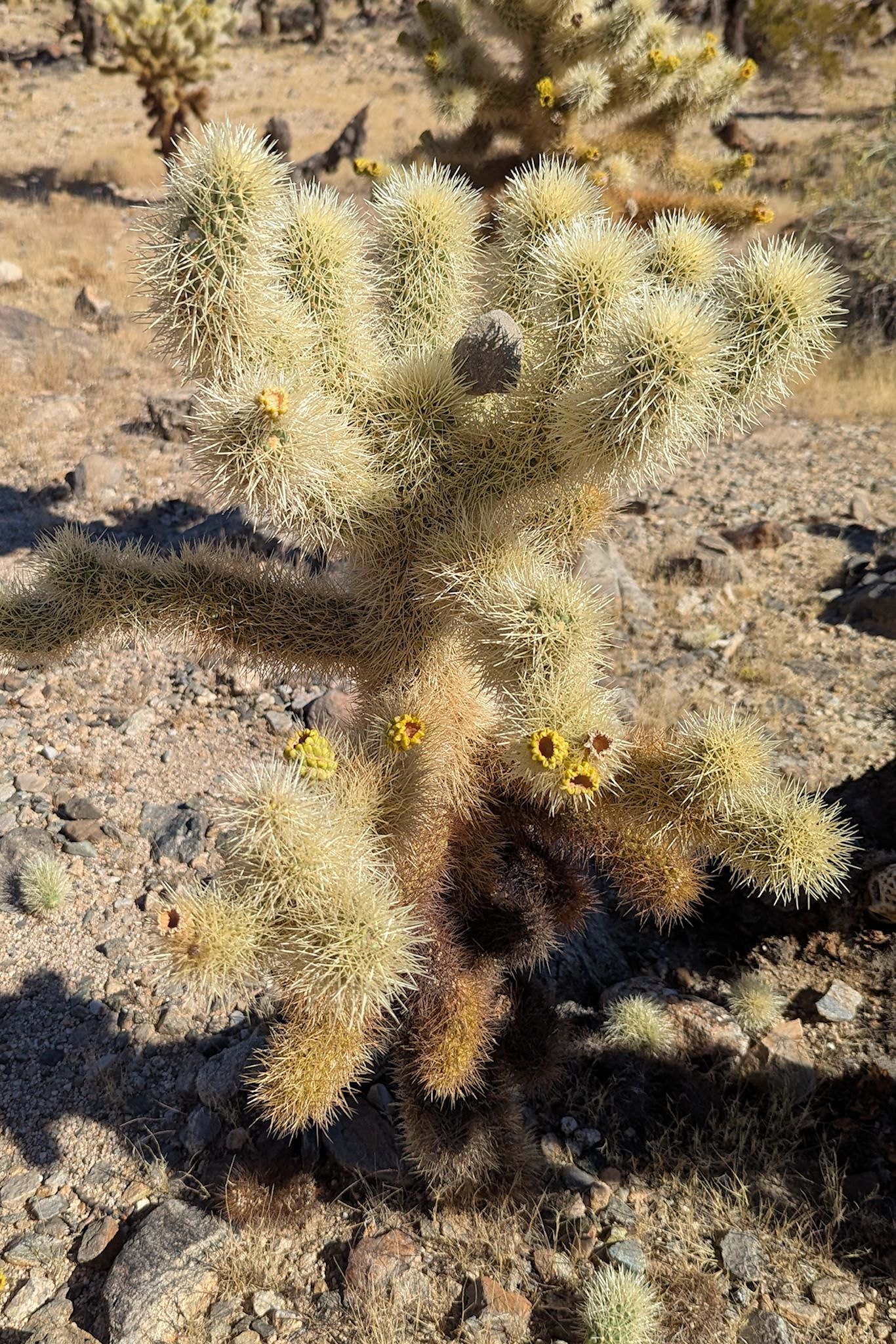
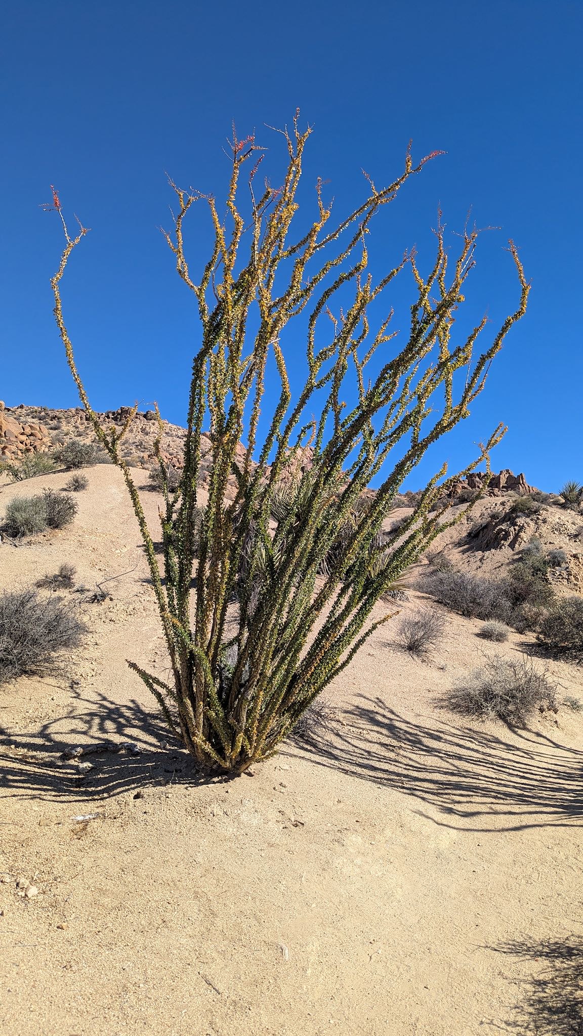
Below 3,000 feet, the Colorado Desert has a different look and feel. This part of the park comprises a large, flat basin, ringed by mountains. It has a few sources of water and oases and therefore supports smoke trees and ironwoods and more wildflowers. Creosote, crazy loooking ocotillo, palo verde and cholla cactus dominate the flora here.
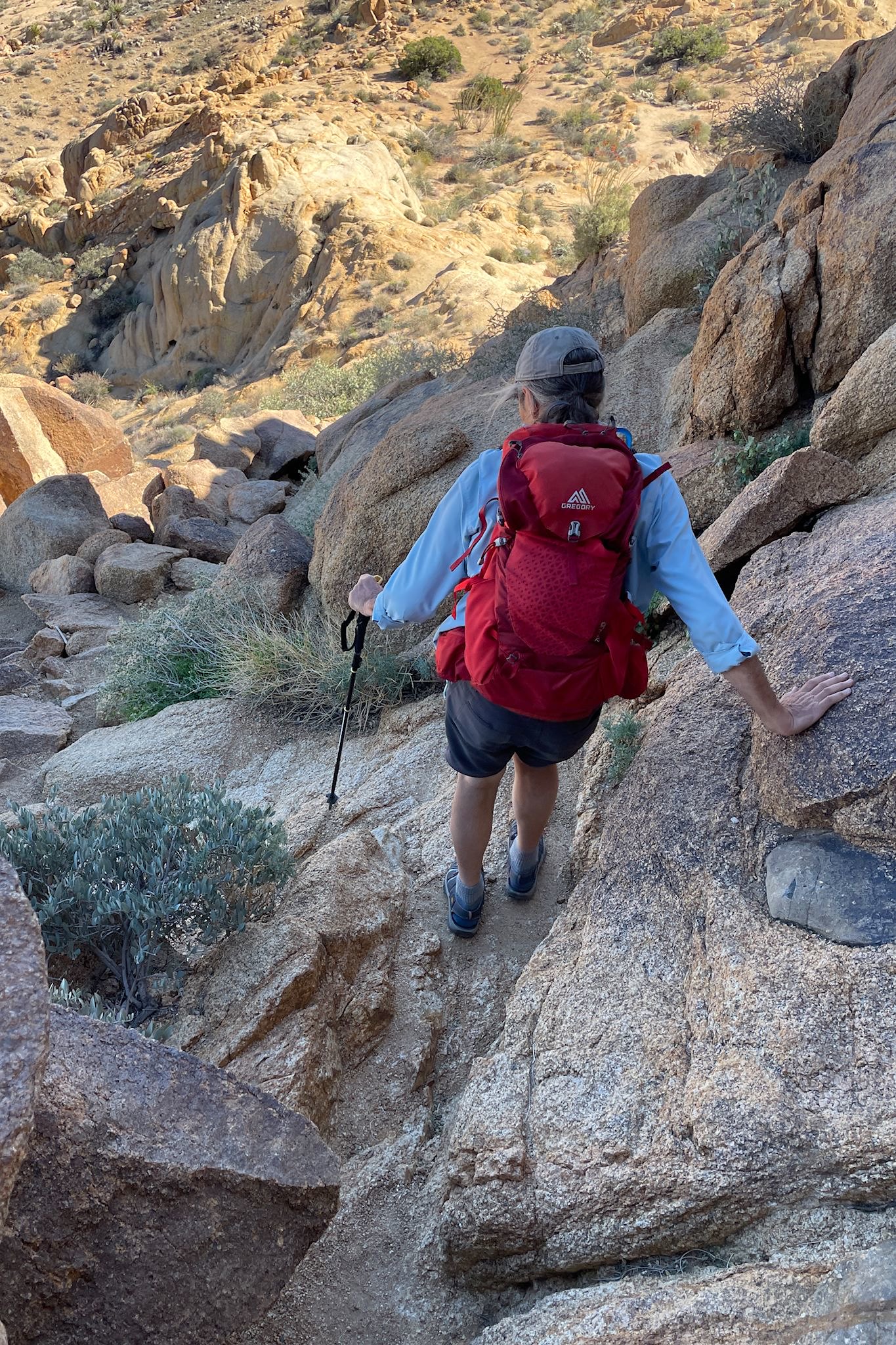
Wanting to see as much as we could of JTNP, we selected 3 of the longer hikes, in 3 different parts of the park. They were awesome!
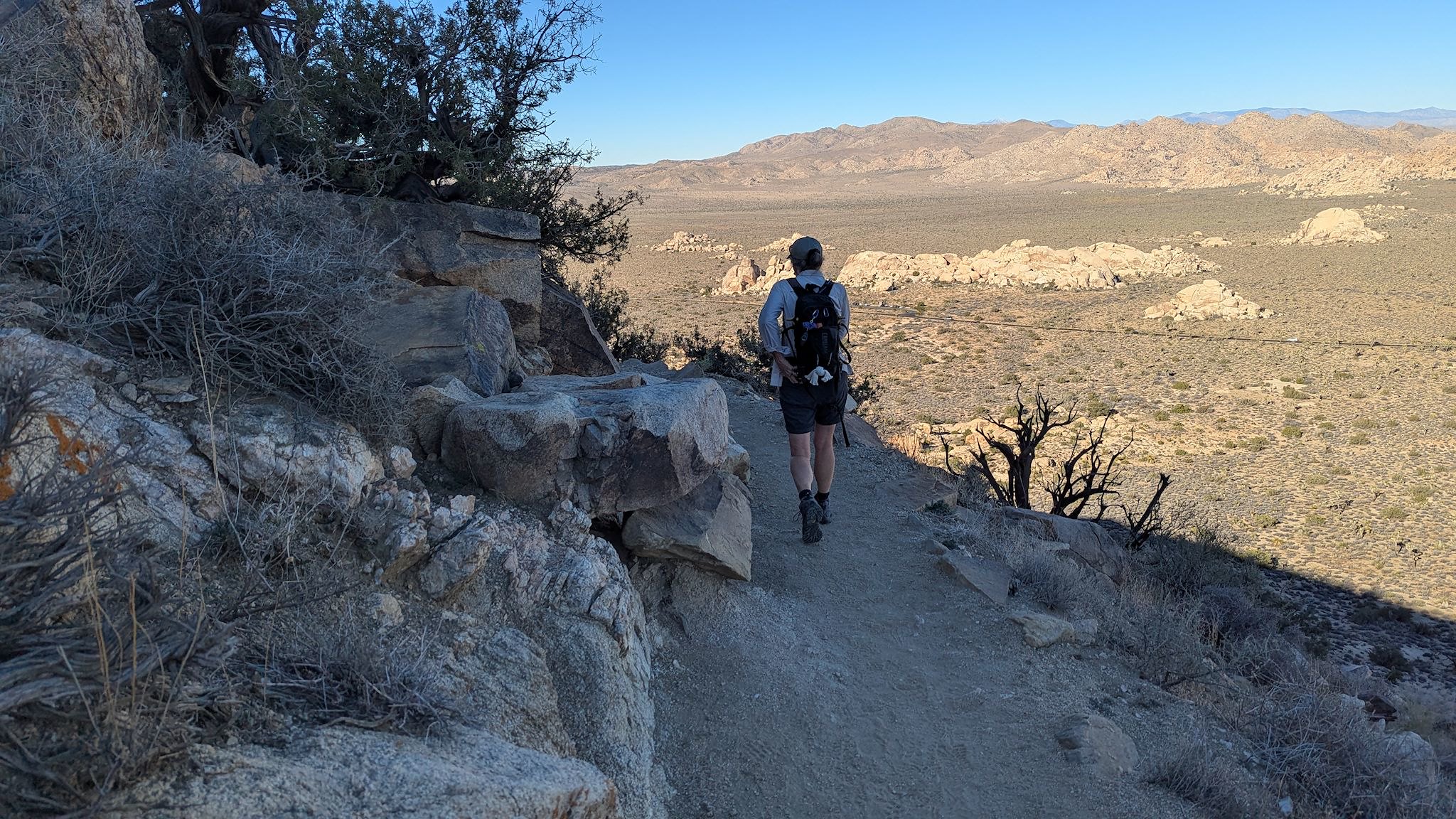
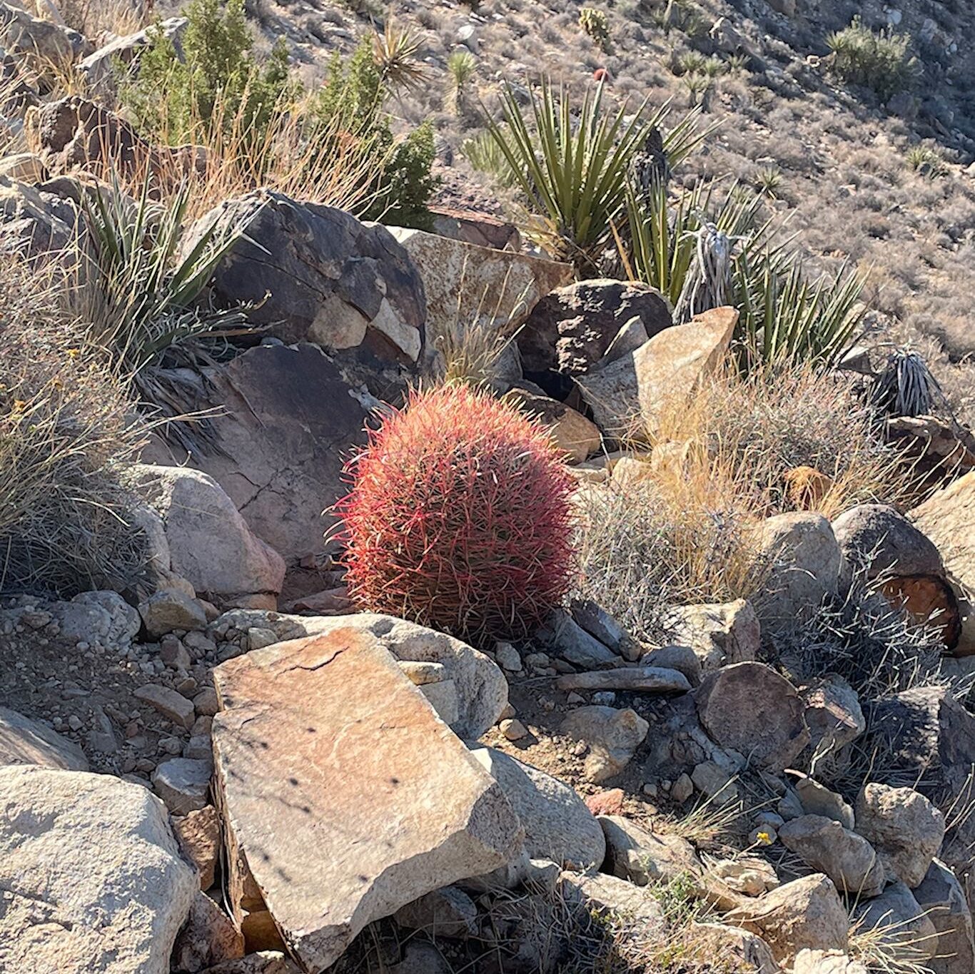
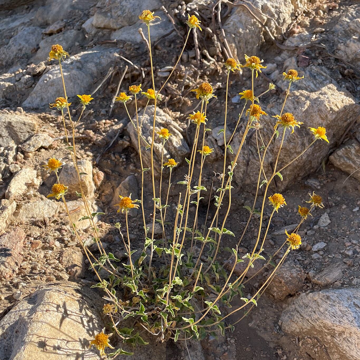
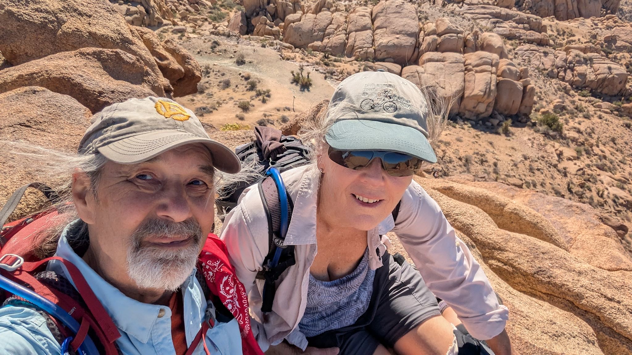
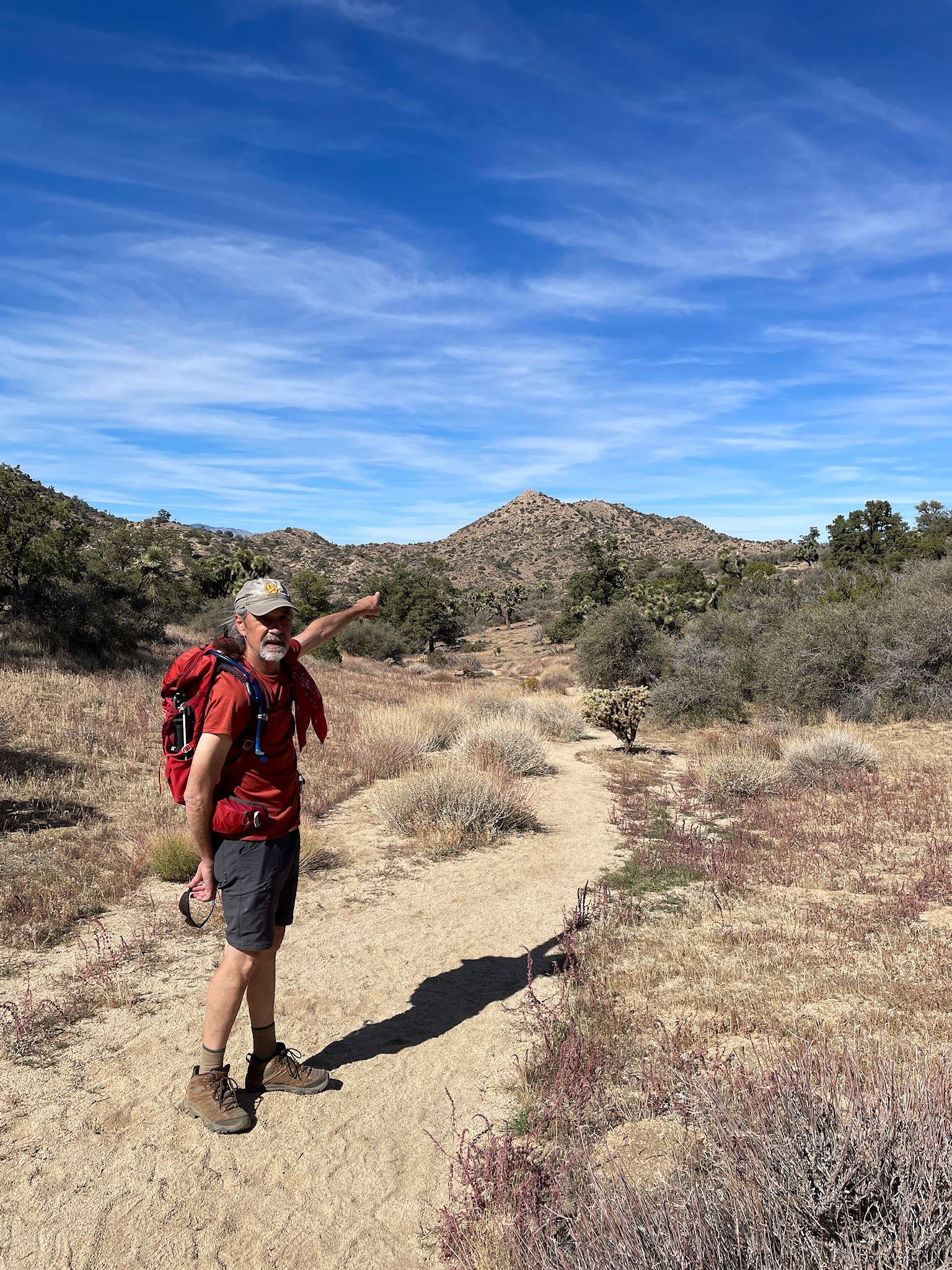
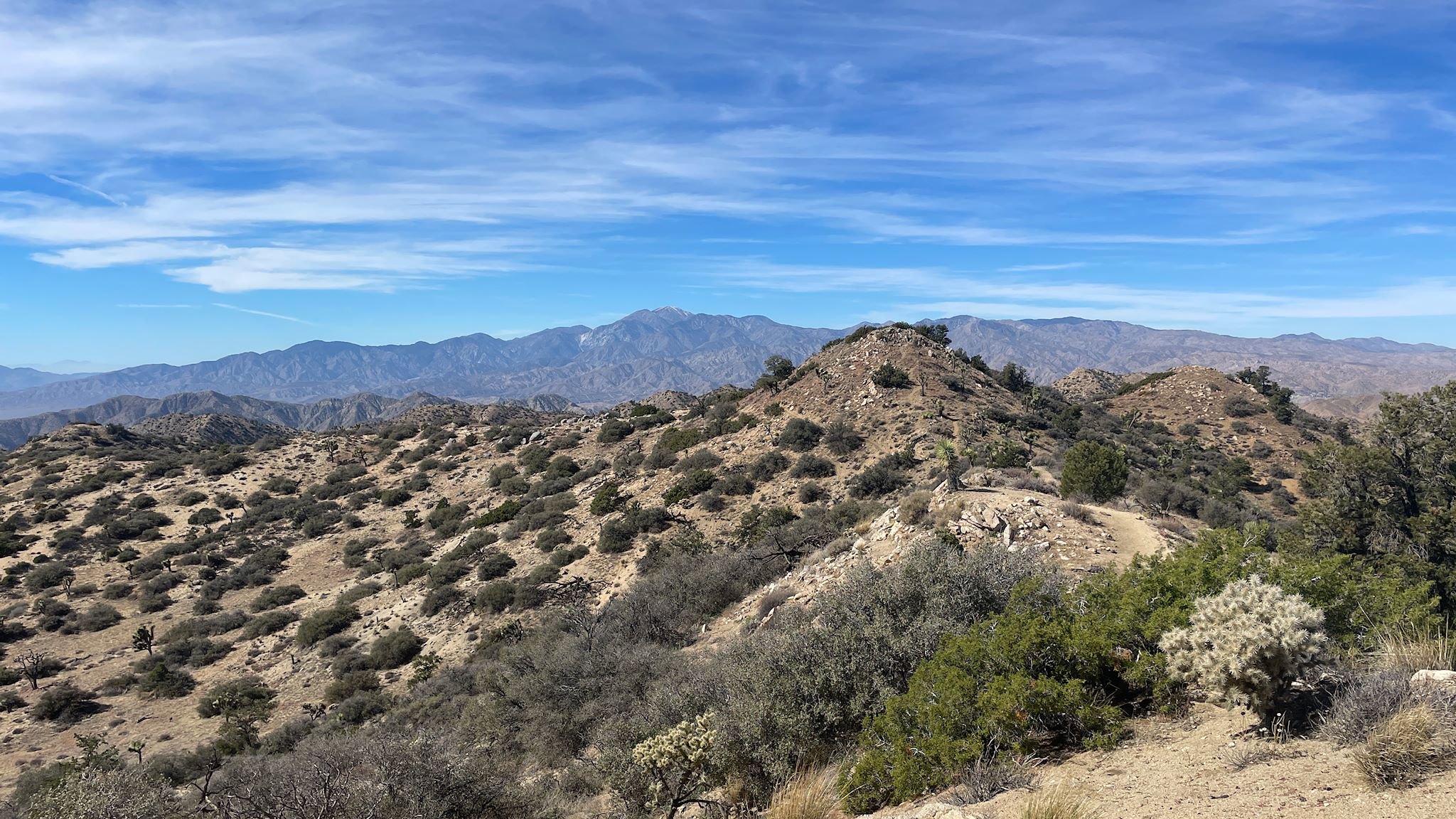
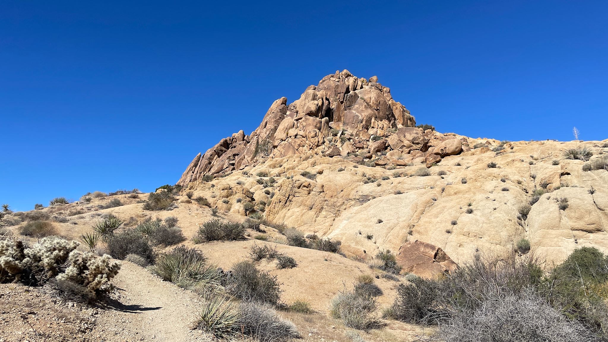
Ryan Mountain was our first pick – hiking to a peak in the middle of the park would likely provide some orientation and give us the lay of the land. The afternoon temperatures in October in the park are still in the 80’s (f), so we got to the trailhead early. Great decision! We climbed to the summit mostly in the shade with gorgeous views of a large basin surrounded by and dotted with gigantic rocks. We stopped to wow at different varieties of cactus and succulents that hikers from Vermont rarely get to see.
Once on the summit, we soaked in the 360 degree views. Although subtle, the difference in the scenery was different looking northwest (Mojave Desert) from south east (Colorado Desert). Although hot, the descent was quite easy.
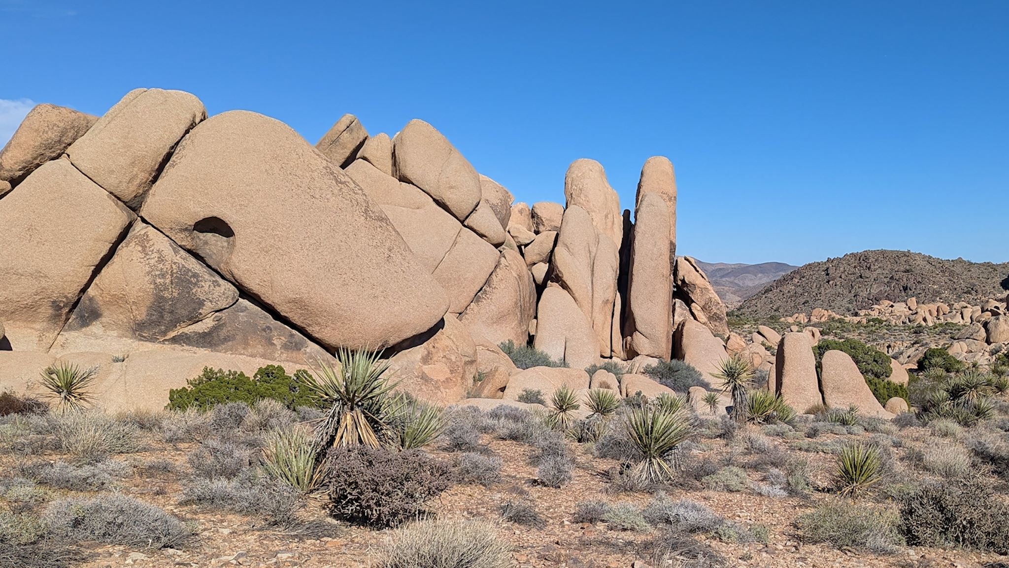
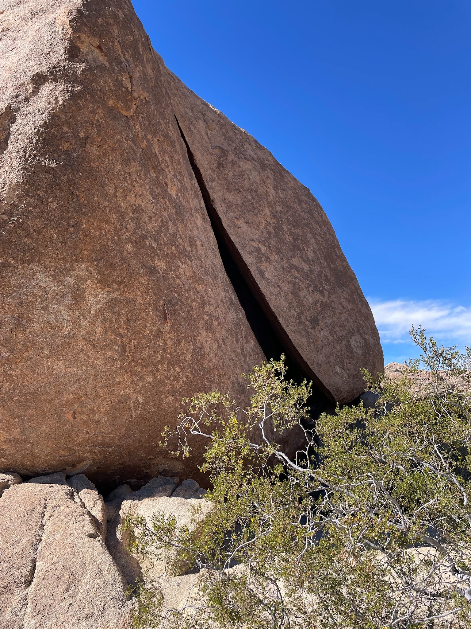
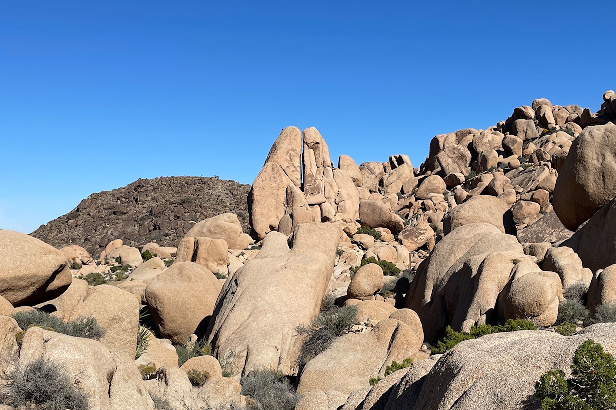
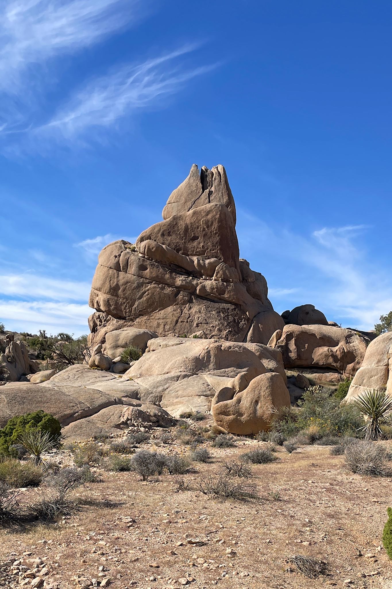
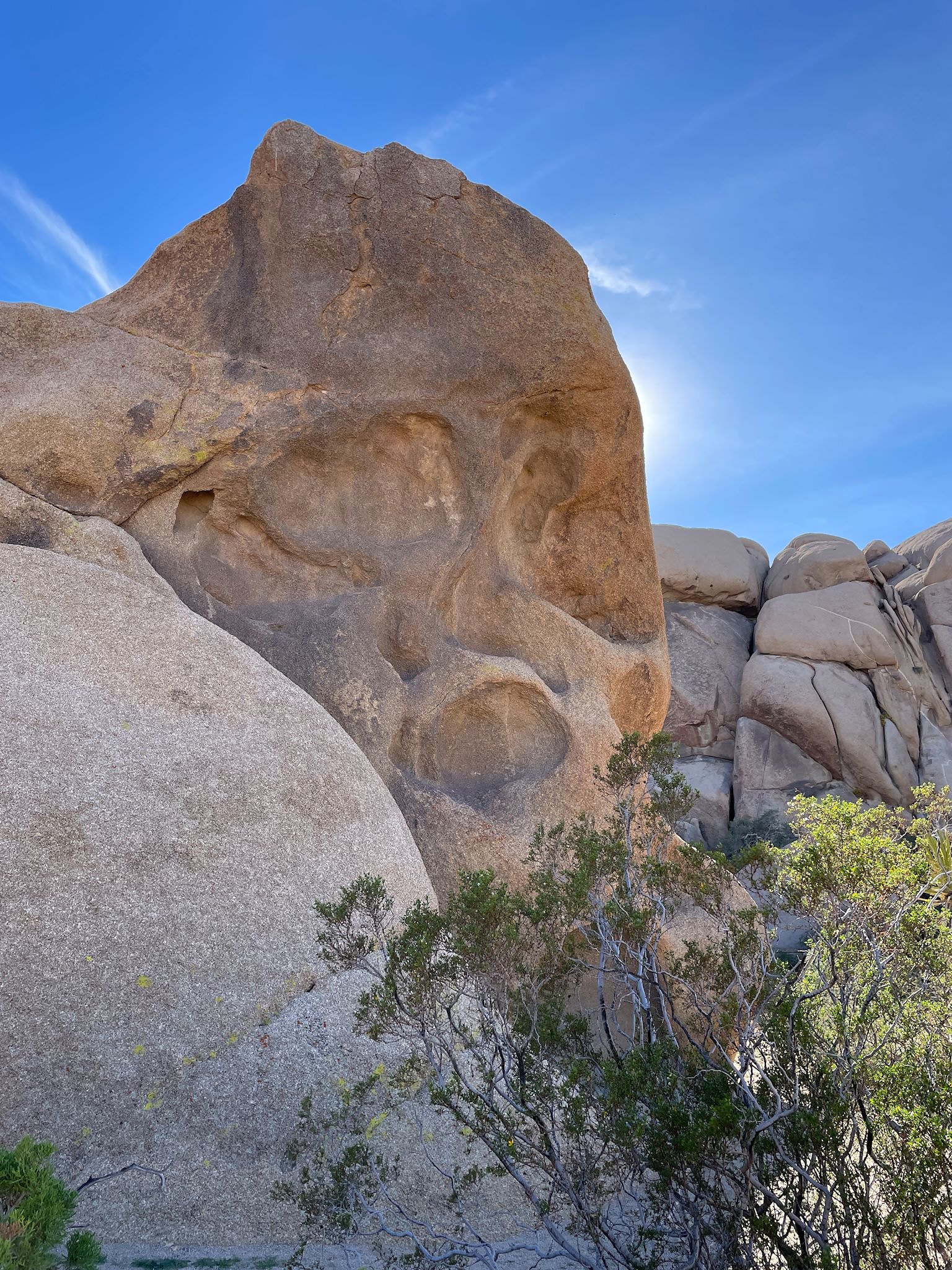
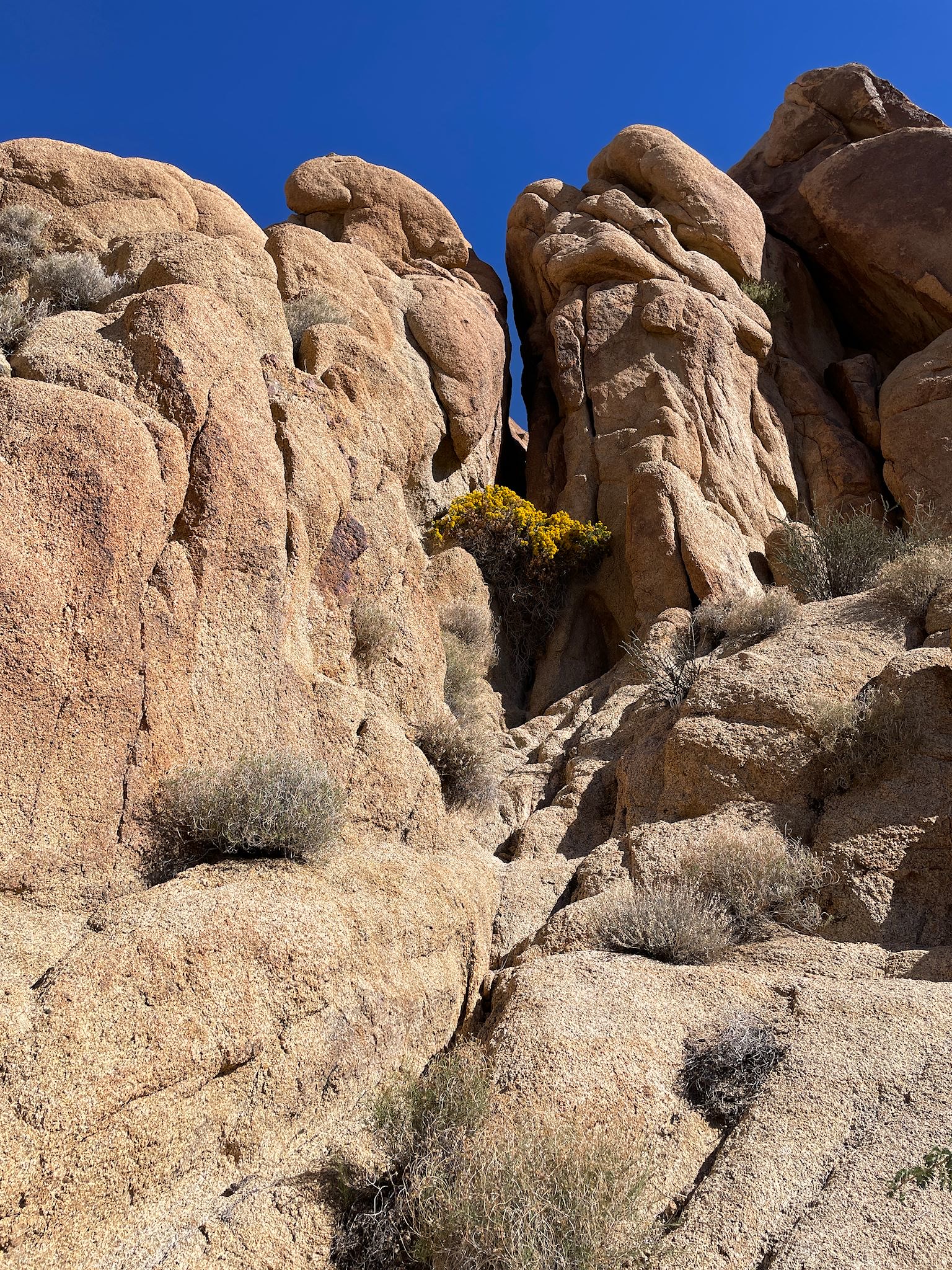
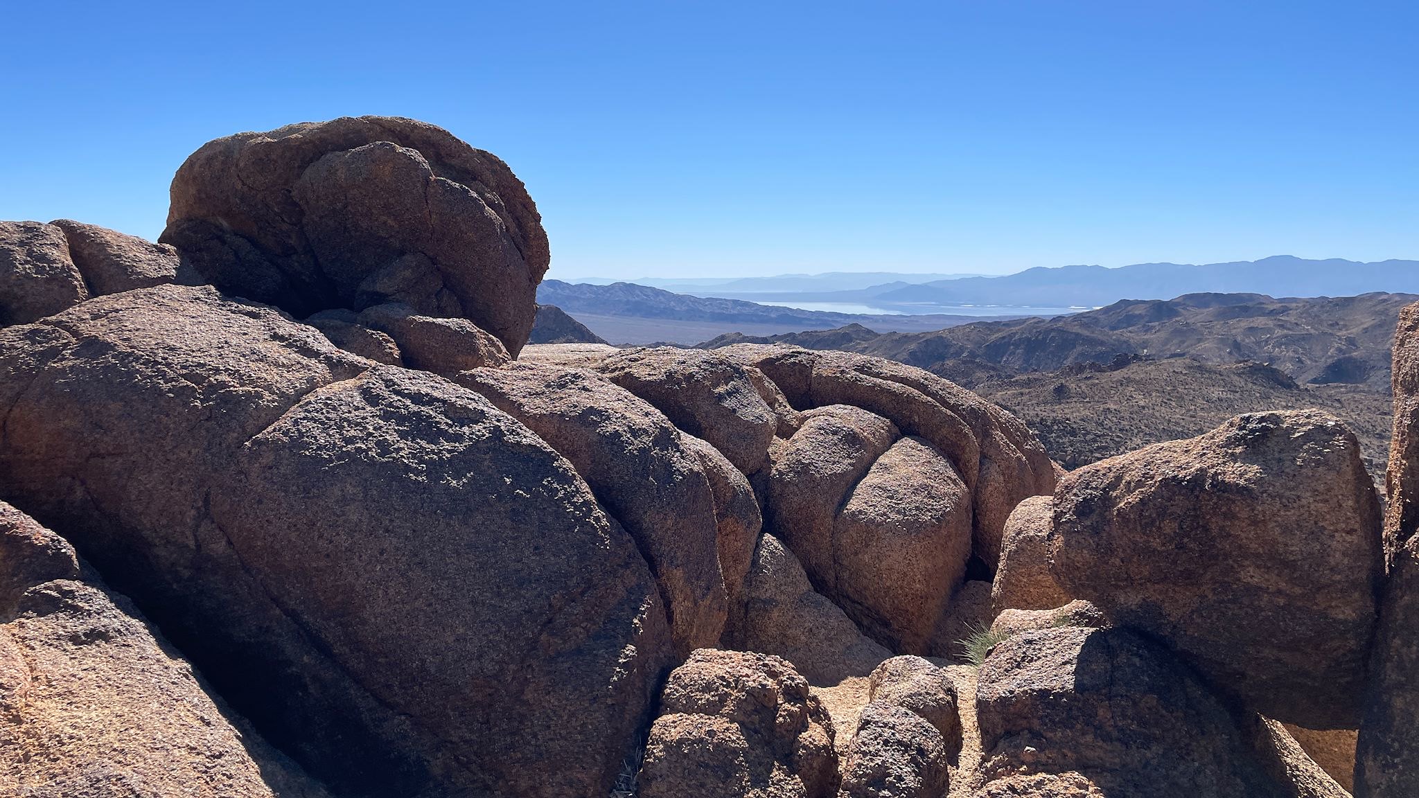
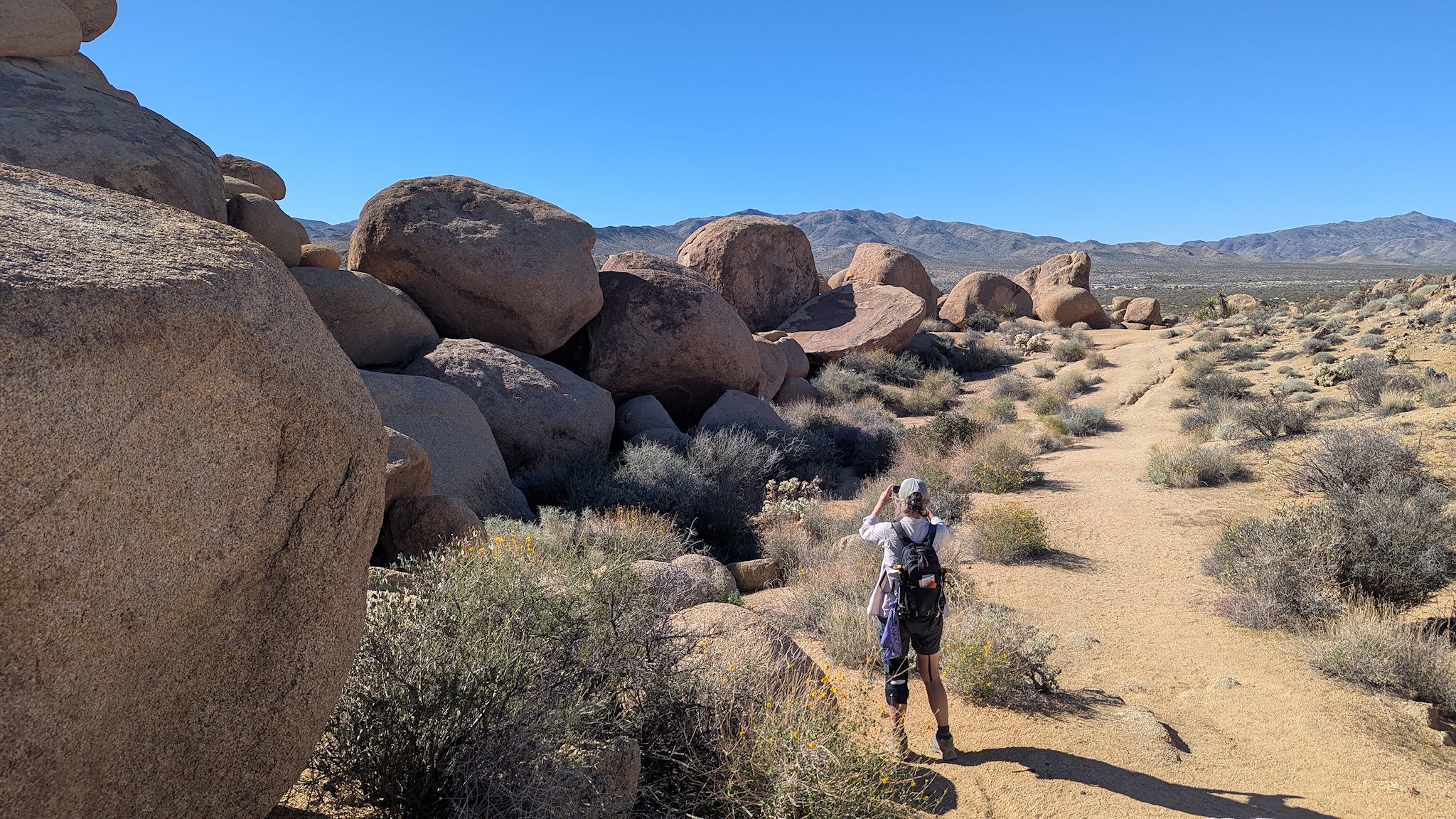
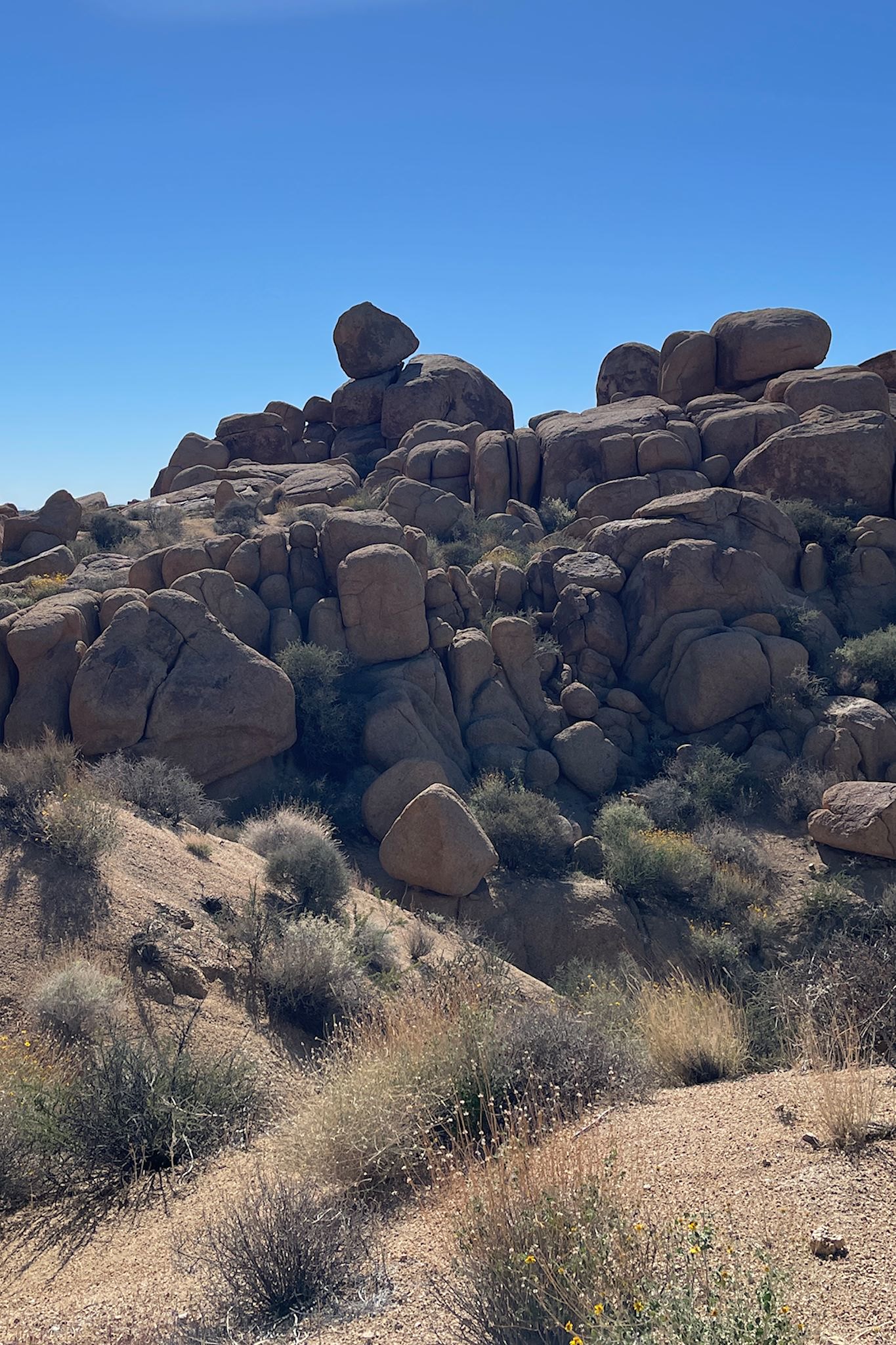
After visiting exhibits in the air-conditioned Visitor Center, we decided we still had a bit of energy. A short bonus hike through the Split Rock area later in the afternoon was fun. We both wished we knew more about geology – how did all these strange rocks get here!?!? Without NP rangers around, we had to guess if there was actually one rock named Split Rock… We noted at least 3 major candidates and many other minor ones while on our hike.
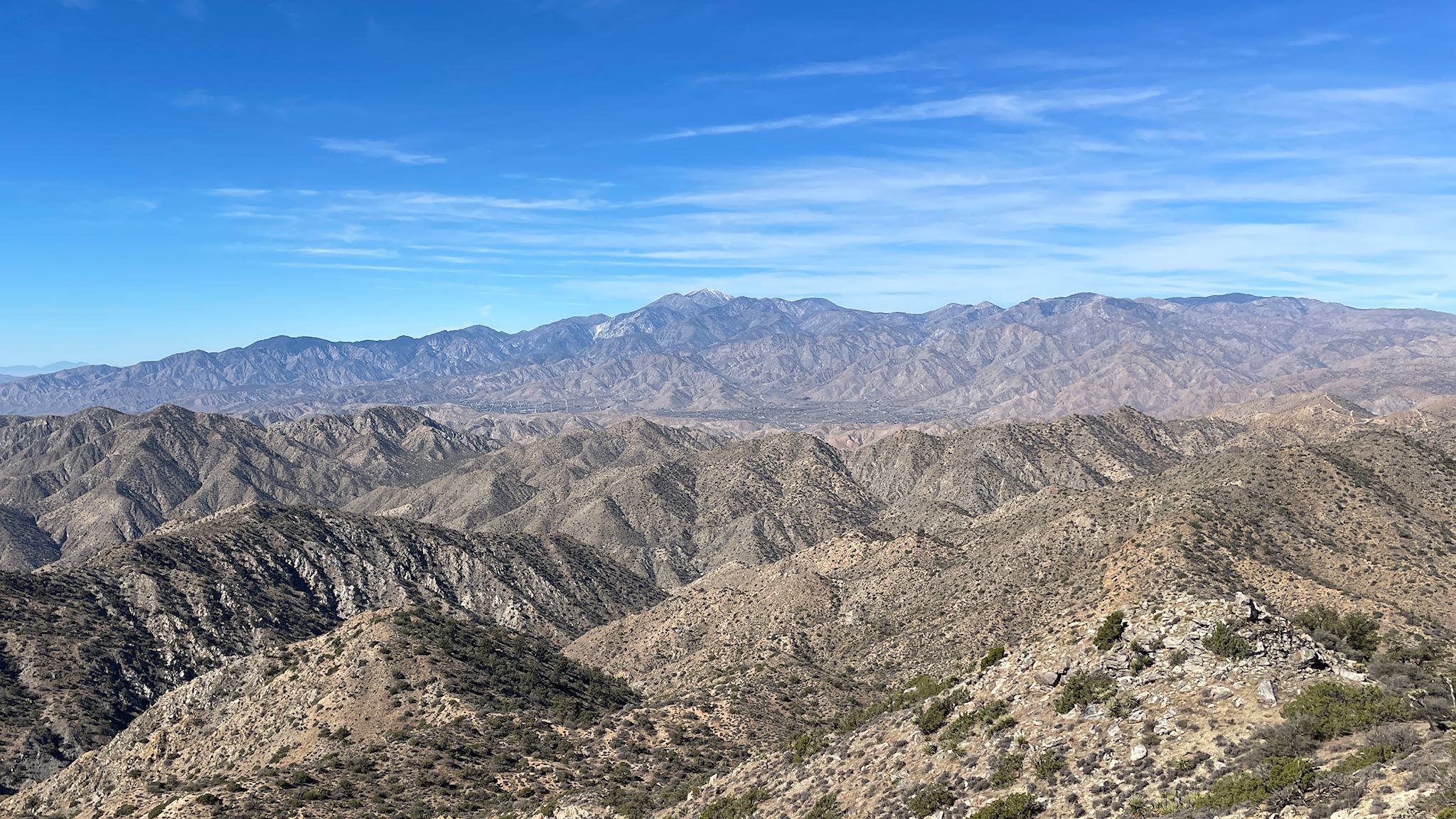
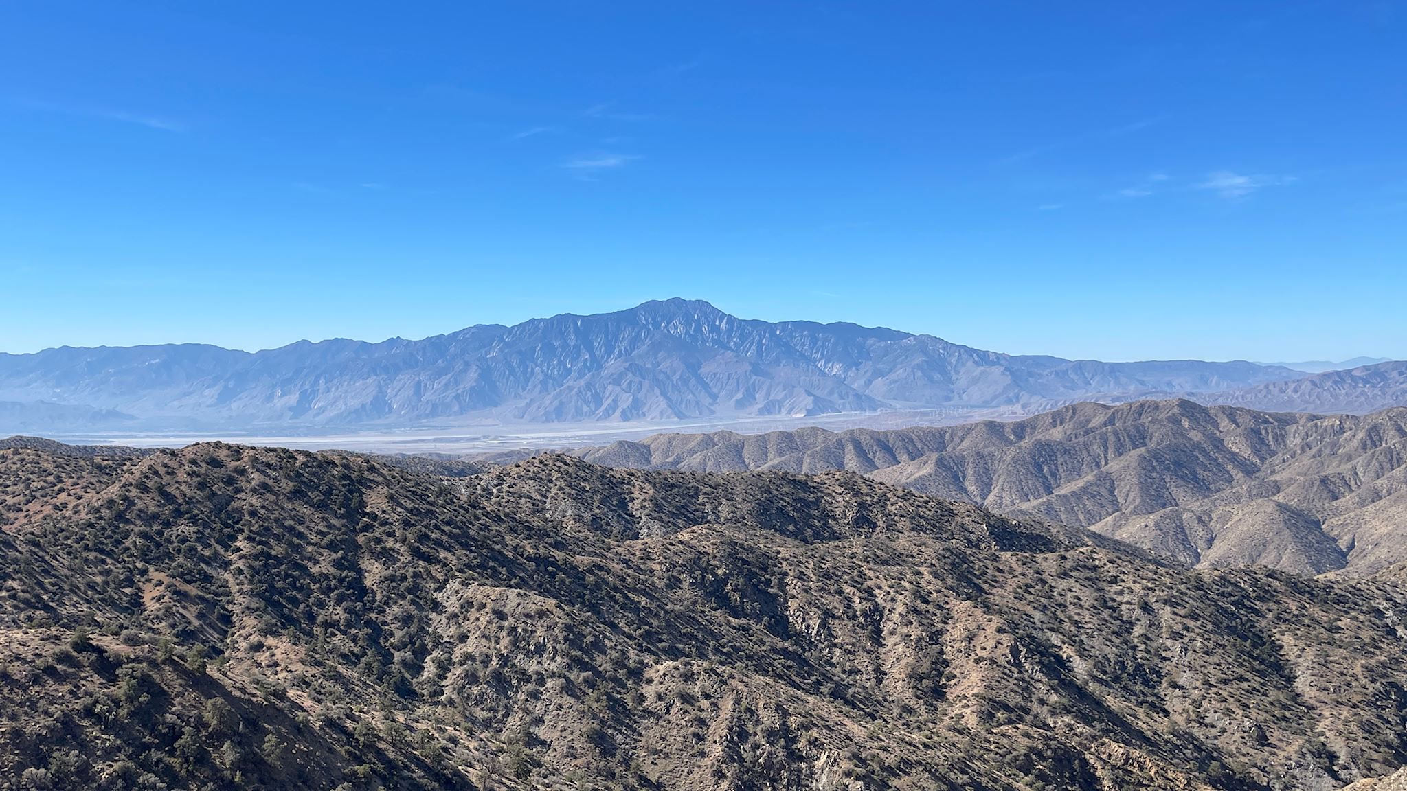
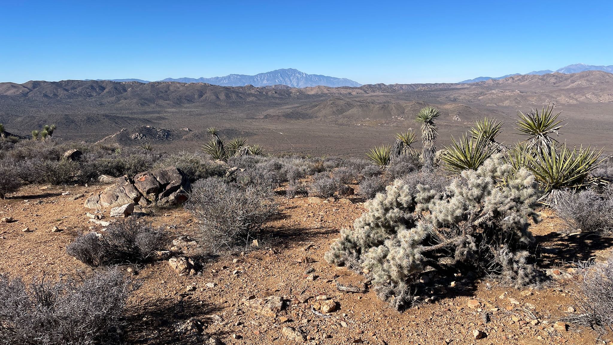
Moving to the far northwest corner of the park, we explored the Black Rock area. More mountainous, this area includes denser, old-growth Joshua Tree forests. How could we not choose the enticingly named Panorama Ridge Loop with a side trip to Warren Mountain? (For those who don’t know, or maybe forgot, we live in Warren, VT.) After walking up a long wash in a bowl, a side trail brought us to the summit of Warren Mountain with another round of 360 degree views – down into the Coachella Valley where we have friends, across to Mount San Jacinto and Mount San Gorgonio, and looking back at the high desert town of Yucca Valley.
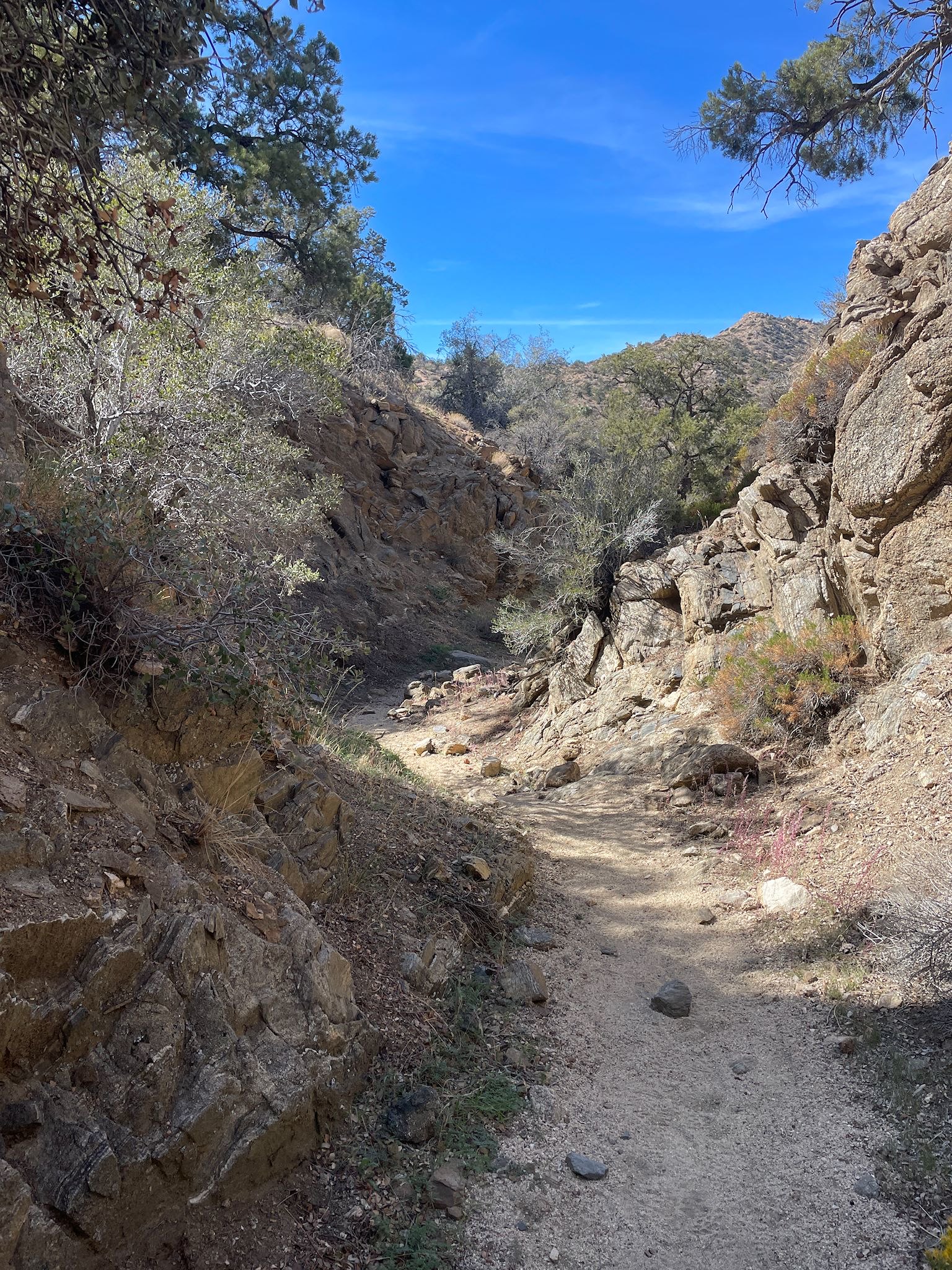
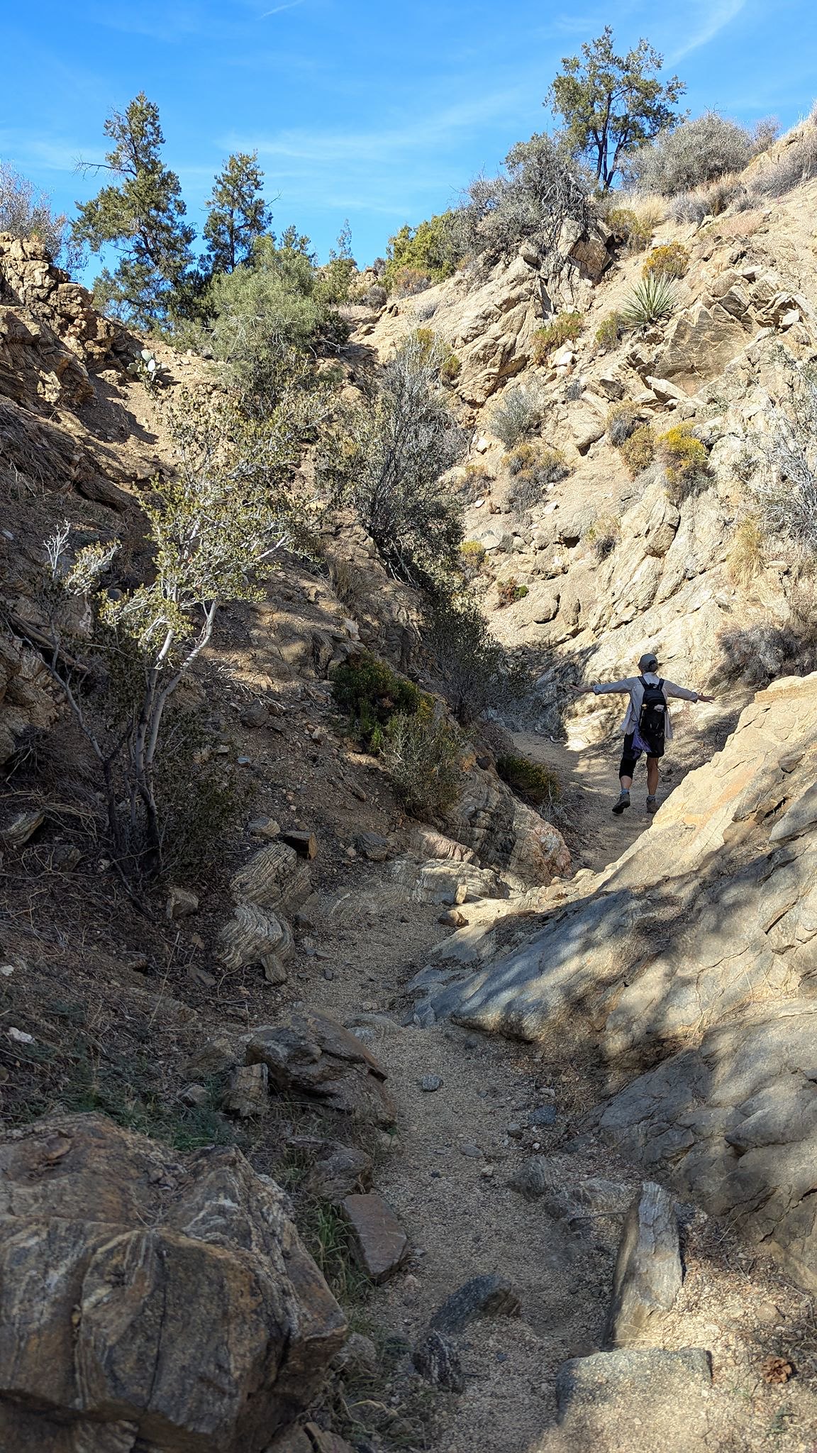
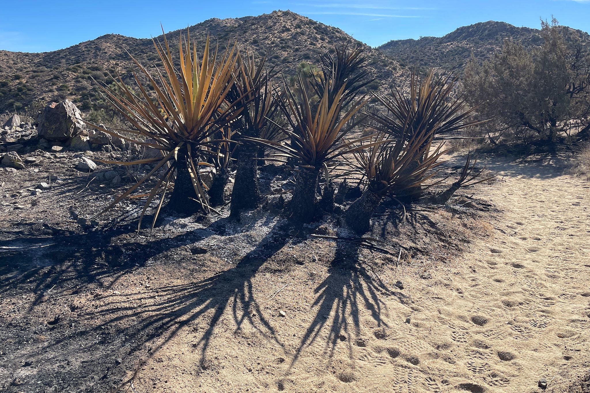
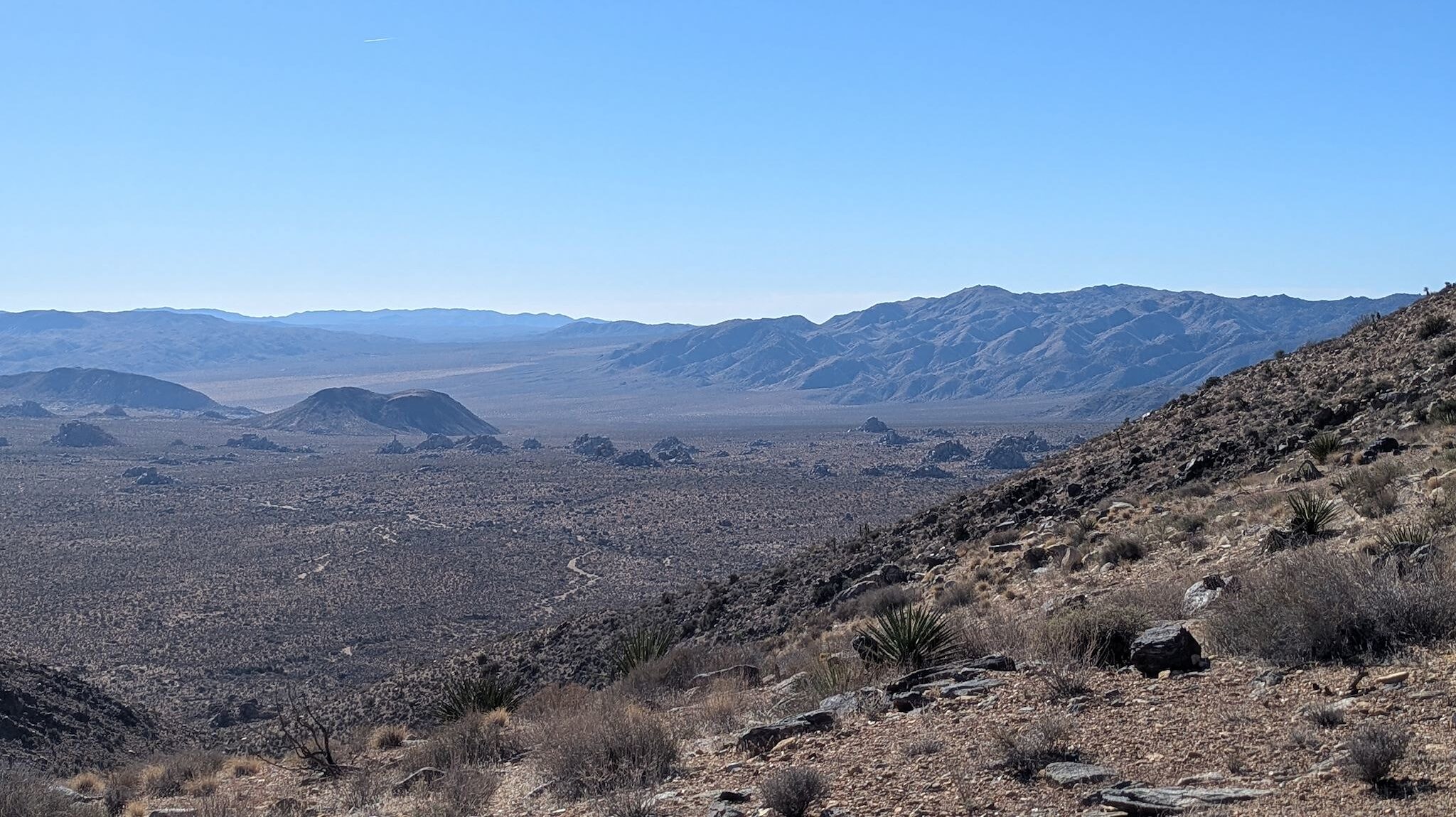
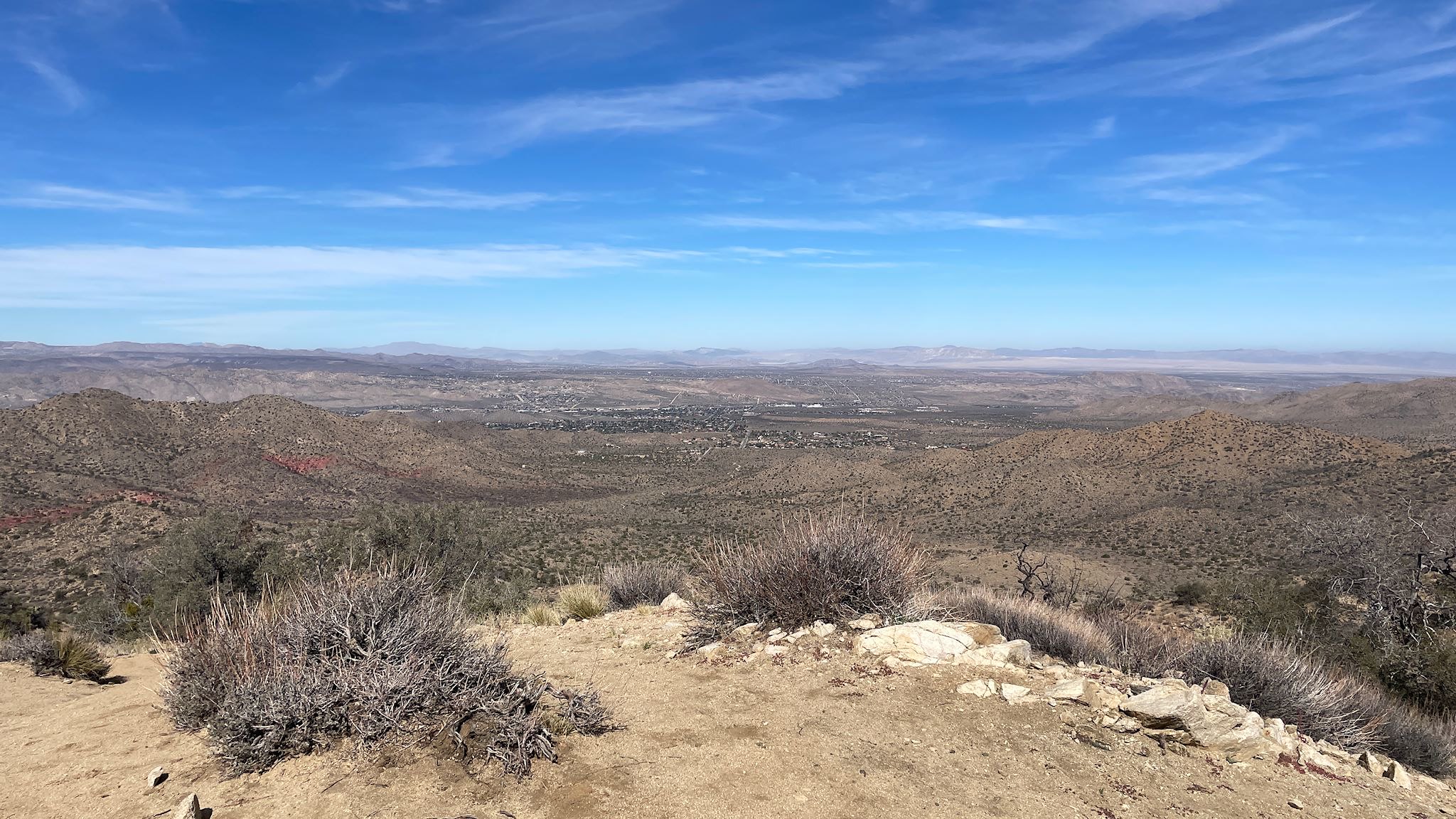
Back to the main Panorama Loop trail, we climbed to the top of a ridge which did indeed have a panoramic view. The trail followed the ridge as we looped around the top of Black Canyon. As we started our descent, we could see Warren Mountain out across the valley. Entering the Black Canyon was pretty, and then we entered the heart of the striking, narrow ravine with tall, dark walls etched over millions of years by the infrequent rains in this desert. Part of our hike brought us through a recent wildfire scar, edged by red dye from fire retardant dropped from the air. We were surprised to learn back at camp that the fire was just 10 days earlier!
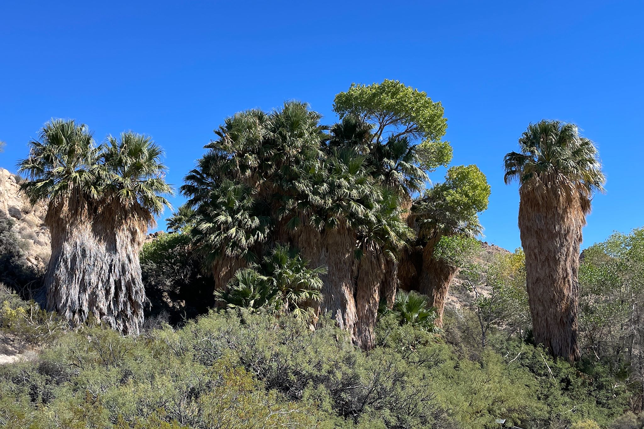
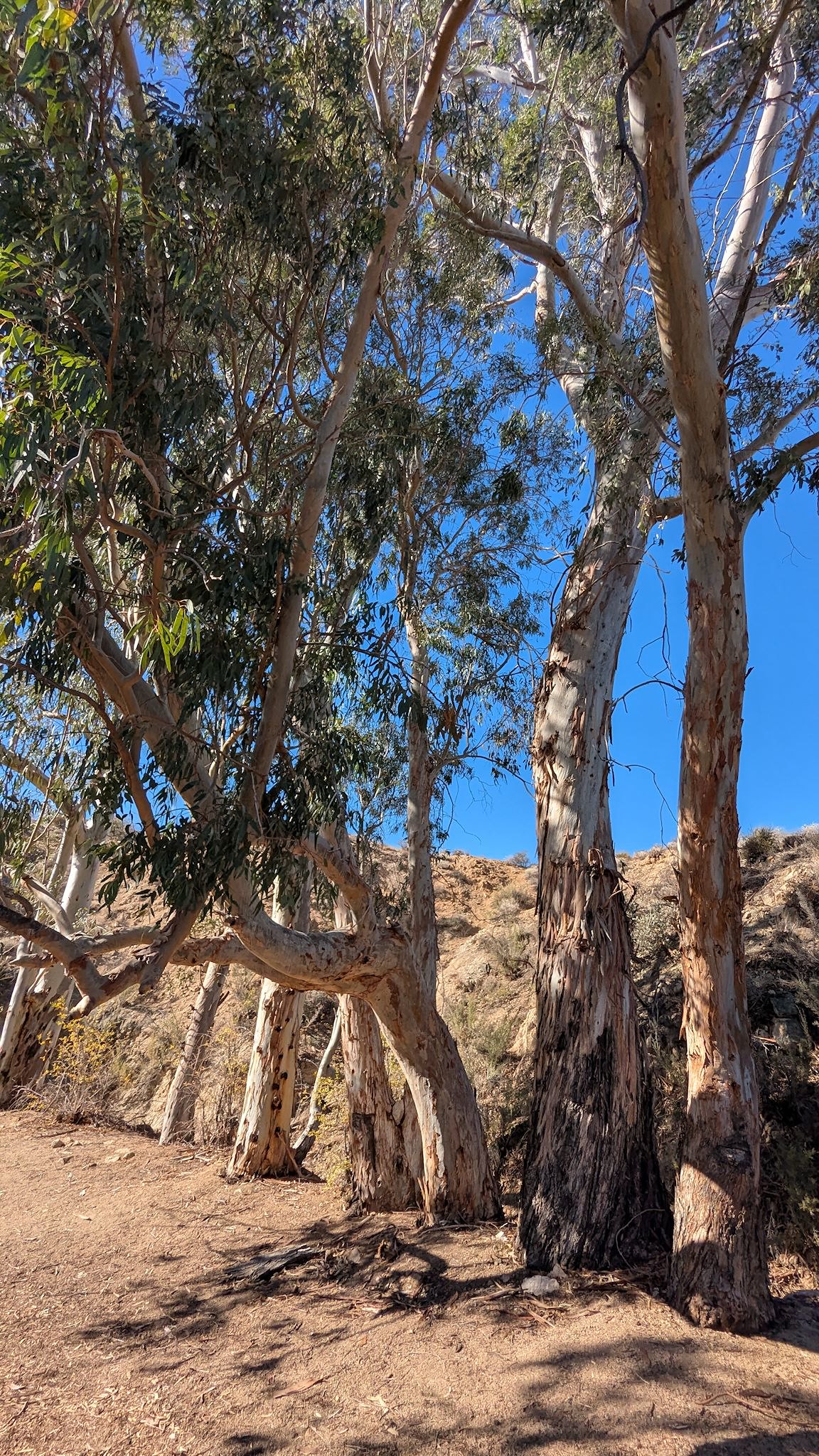
At the far southeast corner of the park we visited Cottonwood Springs, a relatively lush and green area. Our hike to Mastodon Peak started at a mini oasis where huge fan palm trees were growing in a tight knot where there was, relatively speaking, more water. (We last saw fan palms in the Everglades. Must be a different variety…) The trail continued through a rocky desert landscape dotted with a different mix and variety of cacti and succulents and differently shaped big rocks. The trail took us to the base of Mastodon Peak, and an unmarked scramble up and over the giant rocks could bring us to the summit if we desired. Of course we’ll scramble! Views!
The return took us past an abandoned mining camp and then followed a long wash that wended through more thoroughly bizarre rock formations. A group of eucalyptus trees let us know there was relatively more water somewhere nearby as we made our way back to the palms and the oasis where we began.
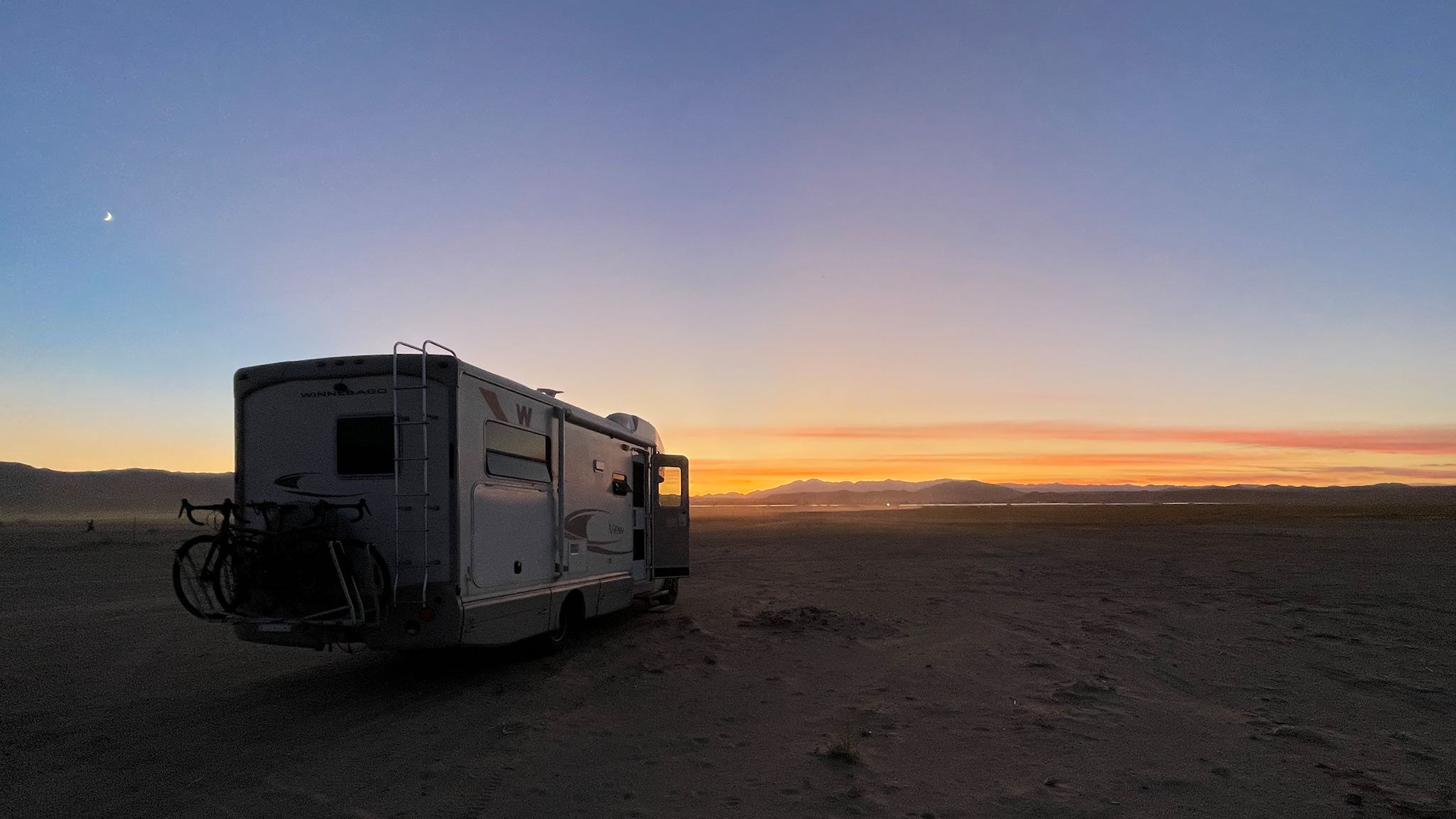
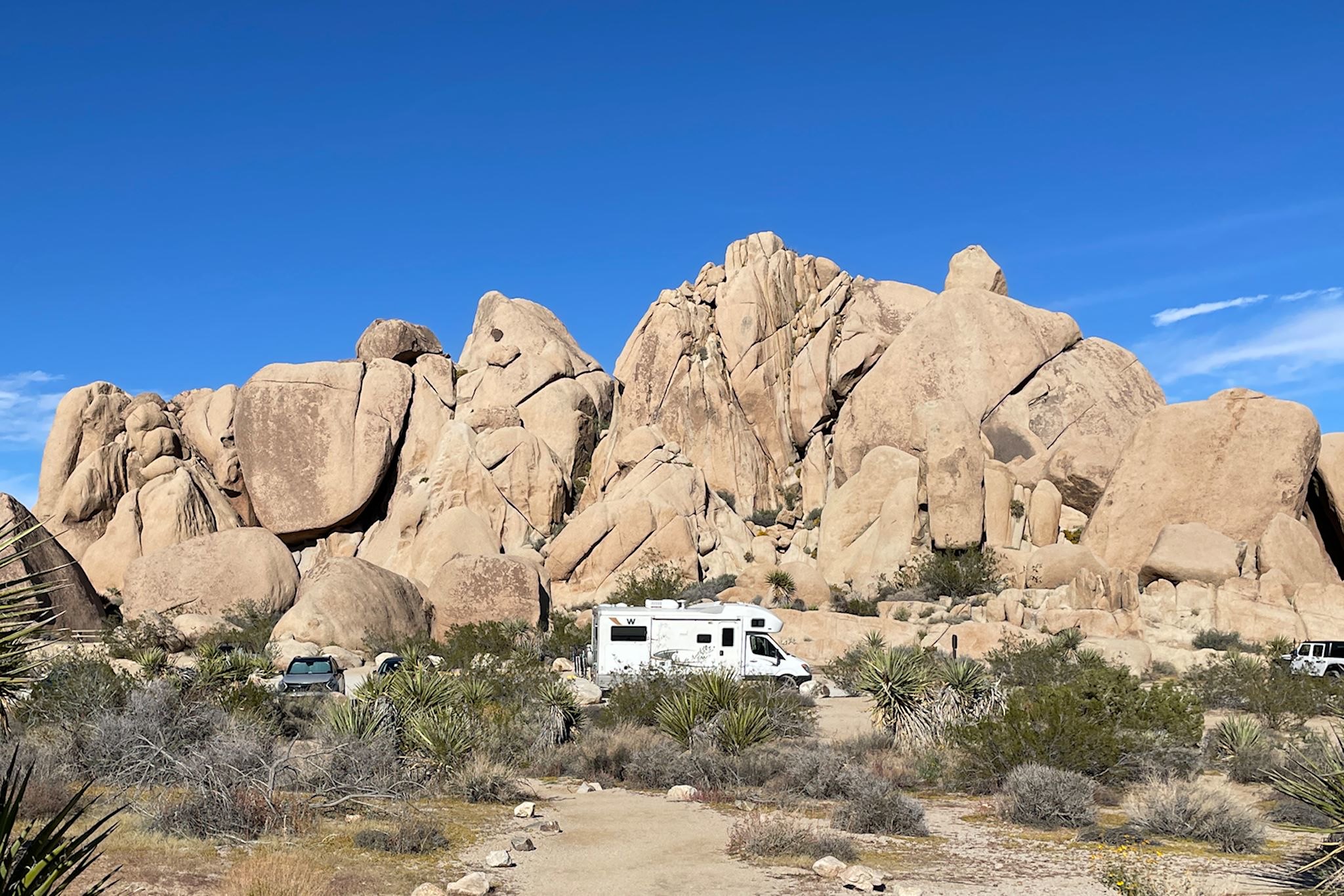
Our camping experience while at JTNP was a little different from our usual. We generally like NP campgrounds. However, with the shutdown, it was hard to find up-to-date information on campsite availability. Rather than drive into the park to see if campsites were available, we opted to spend the first couple nights in a public Bureau of Land Management (BLM) dispersed camping area just north of the West and North entrances to the park and scout out the situation from there. After hiking in the Black Rock area, we were able to check out the campground there and we stayed there a couple nights. Although a few sites were available at the NP campground near Cottonwood Springs, there was no cell service there. That made selecting and booking a site difficult, since the only way to do that is online (otherwise a day or two off-line would not usually deter us). We found another BLM camping area just outside the South entrance. All were primitive (no services), yet conveniently located, quiet and very pleasant.
Thanks again to all the volunteers and staff who enabled us to visit this magical desert place.
For anyone who’s interested, more Ryan Mountain, Split Rock, Panorama/Warren Mountain, Mastodon Peak, Cholla Garden and Scenes around JTNP and camp pix…