You can’t make this stuff up, unless you make it up as you go along…

As I’ve mentioned before, we don’t have much of a plan – we’re letting this adventure unfold as we go along. After our visits and sightseeing in SD, we had a chance to arrange a visit near Boulder, CO. The folks we were meeting were only available on the weekend, and somewhere in there we needed a day or so to take care of a few things on our own. That was tight (at least for us, given our typical travel habits), but it appeared that, yes, we could be there with a little bit of hustling.
Fire up google maps. The distance was just under 400 miles or about 7 hours of drive time and we had 2 days. Halfway would be somewhere between Alliance and Scottsbluff, NE. So we set a course for Alliance.
Just 4 miles north of Alliance, we came upon Carhenge. Had to stop! Jim Reinders, an engineer with a sense of humor, built an exact replica of Stonehenge on his father’s ranch. (“It took a lot of work, sweat, and beers.”) Short on stone, he used junk cars instead. Completed in 1987, Carhenge has since expanded to include other ‘art’ made from junk cars. Hmmm, are we attracted to guys with big visions? Or maybe we just like junk art?
Early on there was opposition to this ‘eyesore’ erected on the outskirts of the town. Now, the attraction is owned and maintained by the town of Alliance and is a major source of local pride. Alliance also happens to be in the center of the path of next summer’s total solar eclipse, if you’re looking for a place to stand on August 21, 2017.
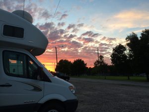
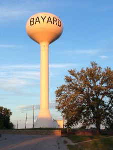
Bayard, the next town over, had free campsites at the City Park. What they didn’t say was the park was kind of delightful. The three free campsites included hookups for electricity and water. Nice!
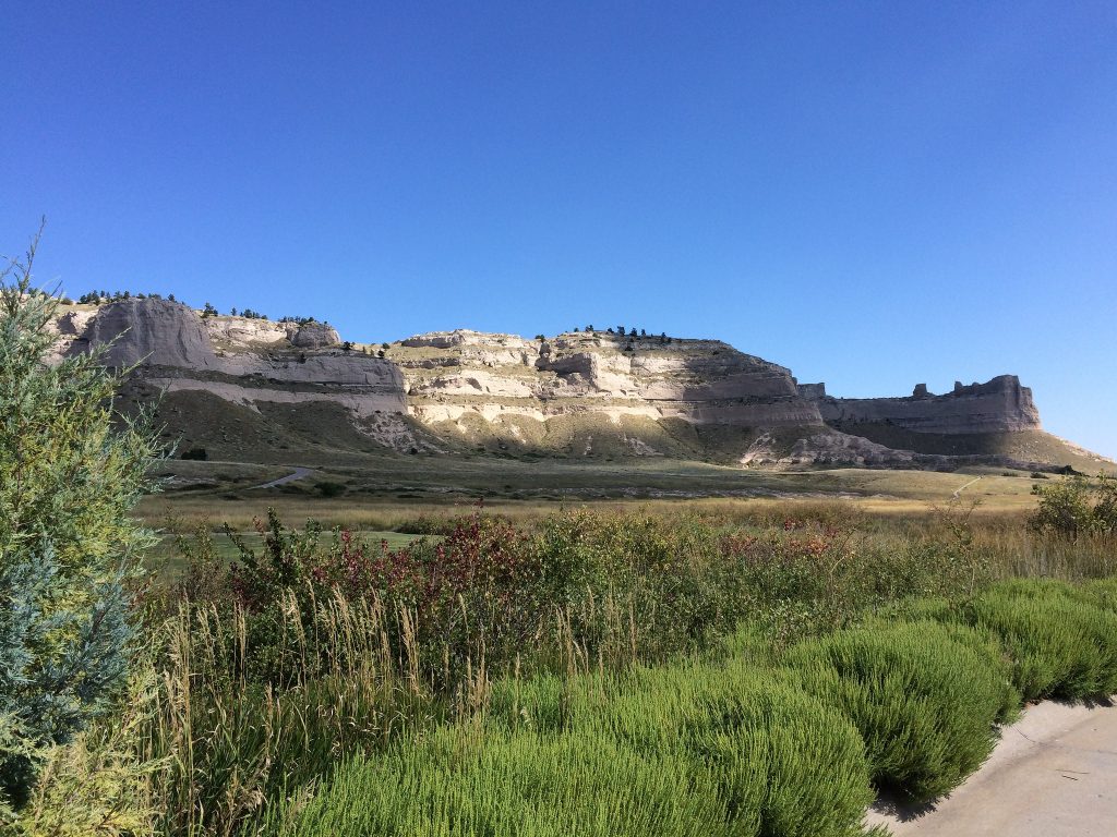
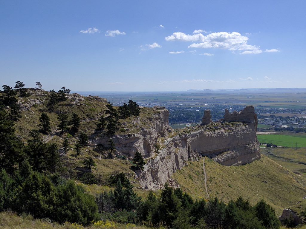
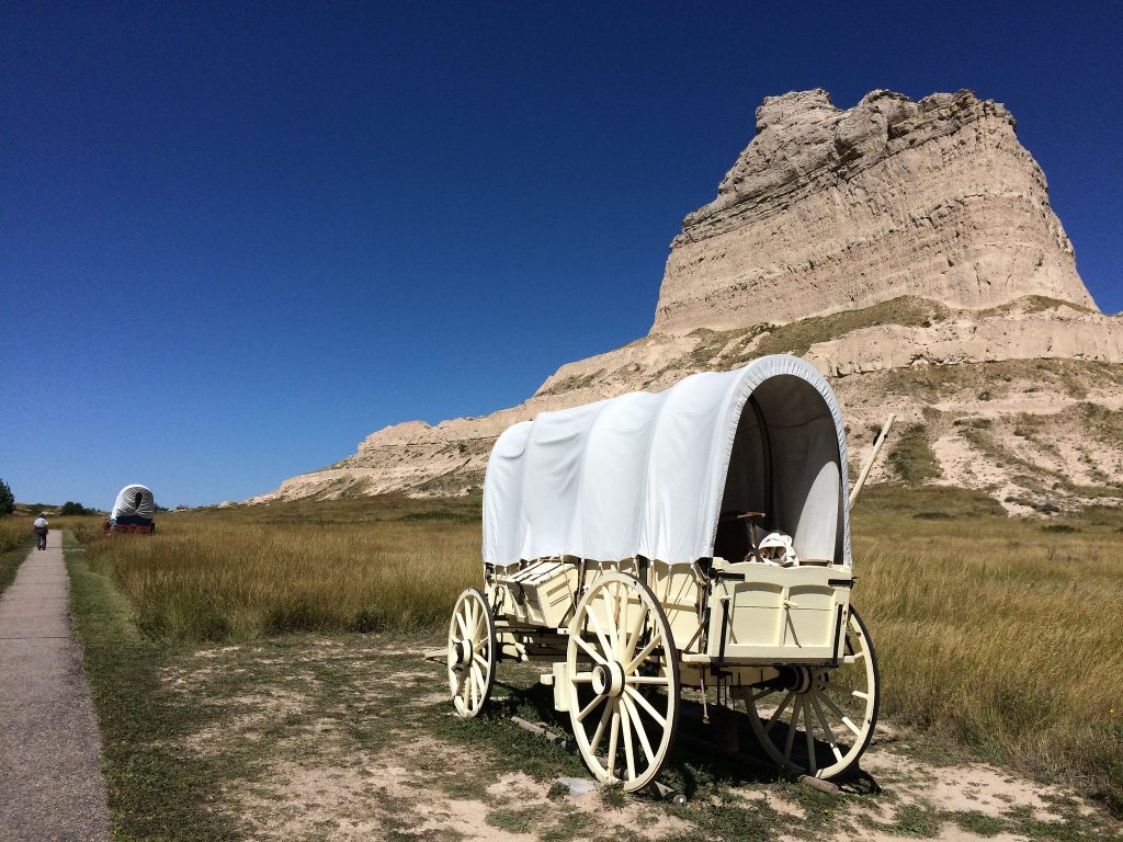
Heading out of Bayard in the morning, signs pointed to Scotts Bluff National Monument. OK, let’s check it out… Not sure what it is, but Doug’s Senior Pass will get us in for free. Another fascinating place! Those heading west in wagon trains on the Oregon Trail learned much from Lewis & Clark – in particular, where not to cross the continental divide. A westward route required proximity to rivers because water was necessary for survival. Instead of following the Missouri River and crossing the continental divide in Montana, the westbound travelers 50 years later followed the Platte River and crossed at the easiest crossing of the continental divide in Wyoming. Scotts Bluff was a major navigational landmark on this route, and the first westbound mountain pass on the Oregon Trail.
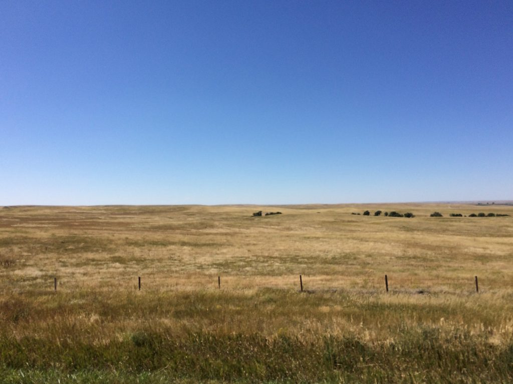
You ain’t seen NOTHING until you’ve been to SE Wyoming. We pulled into a rest area to pause and appreciate the landscape before us – a 360 view of grassland, interrupted only by barbed wire fencing and utility lines in the distance. No trees, water towers, or grain elevators along the horizon in any direction – just grass, waiting to be converted into beef. Seeing nothing but these vast fields and this huge sky was mind-blowing to a couple of Destinators from Vermont, where we have to climb up a mountain to see a few miles into the distance.
Our route took us near the Cheyenne, WY, fairgrounds, another place I visited in 1983 and where I watched my first-ever rodeo. I’d been lucky to sit in the stands near a retired rodeo cowboy who provided ongoing, real-time narration about the competition and just how a cowboy racked up points (when it seemed like the horse won every round!). I also have fond memories of a 5-year old boy with muscular dystrophy who taught me how to lasso a (saw) horse.
As we crested a hill south of Cheyenne, we saw… Rocky Mountains on the horizon! From there, we headed into Colorado, the fourth state we visited in the course of two days. Stay tuned!
If you’re interested, more photos on Carhenge, Bayard, Scotts Bluff…


Sue and Doug,
Hi, this is Jerry (the biker you met at Copper Harbor – and Hancock). You guys have covered some territory since I saw you! I meandered to St. Paul, then took Amtrak to Albuquerque, where I’m staying with a friend and doing some much needed maintenance on my 2 wheeler.
Nice blog!