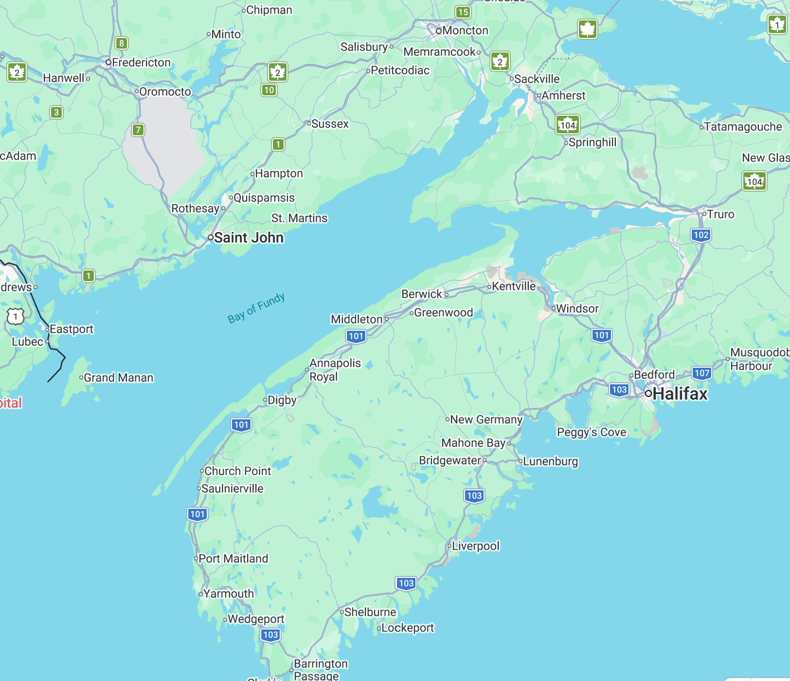
We noticed a large clump of e-pushpins surrounding the easternmost portion of the Bay of Fundy. Ha! We noticed two themes… about half of the places are related to the Bay of Fundy’s extraordinary tides, and the other half deal with the significant history of Acadians before and after Le Grand Dérangement/ Deportation of 1755. I think we can visit them all! Shall we? Allons-y!
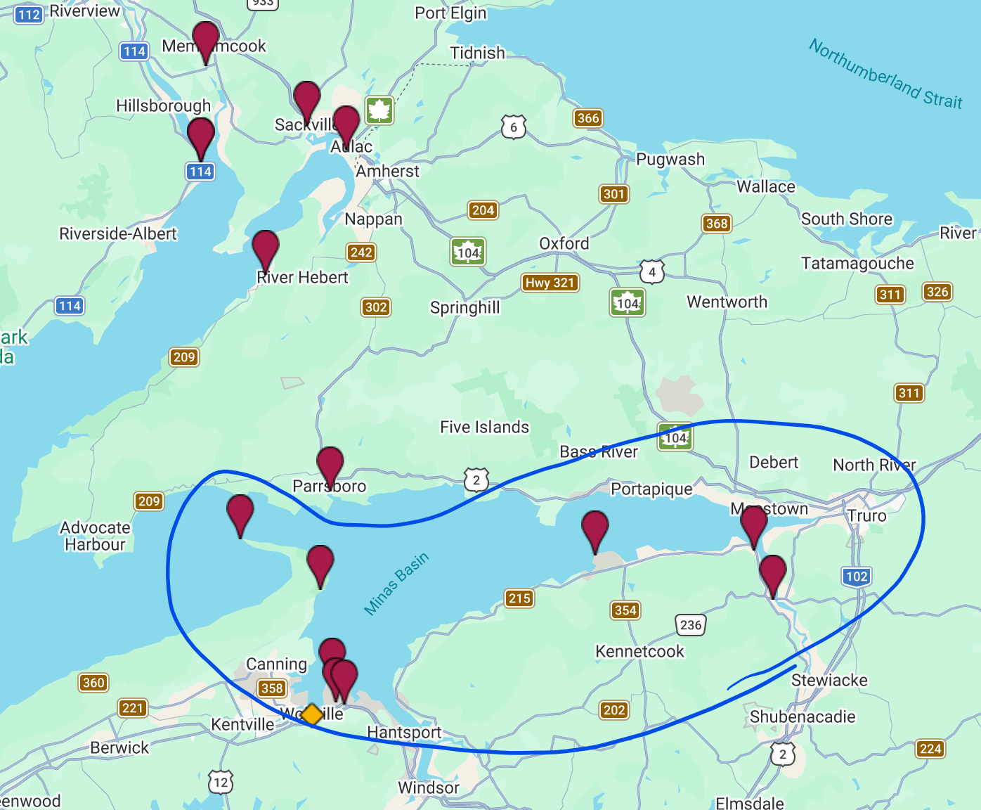
Before we go any further, let me point out that the northeastern Bay of Fundy separates into two arms (Minas Basin to the south, Chignecto Bay to the north) with slightly different characteristics. We decided to separate our visits geographically into two posts, one for each arm of the Bay, and each post will combine discussion of the two themes in its respective region. This is part 1, and part 2 will follow.
The Bay of Fundy is shaped like a funnel – wide and deep at the westernmost portion, becoming narrower and shallower as it divides into the southeast Minas Basin and the northeast Chignecto Bay. As a result, the tides become increasingly higher the further you go up into the bay. In addition to the funnel shape, the length and shape of the bay causes a resonance that matches the period of the moon in its orbit, essentially exaggerating the tidal effects of the funnel.
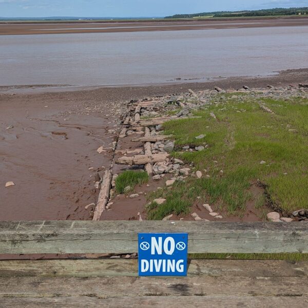
Famously, the Minas Basin reports the highest tides in the world. Fun fact: with each high tide (so, twice a day), the volume of water moving into the Minas Basin equals the combined volume of water in all of the rivers on earth. (Who calculated this!? NASA, according to AI…) In many places, low tide exposes long stretches of red-colored mud flats created by the erosion of red sandstone cliffs. The sand content of these mud flats makes wandering around for people like us at low tide relatively easy. The turbulence of the fast moving tides creates churn leaving a sea of reddish brown colored water reaching to the edges of the forest and high-water marks on the cliffs.
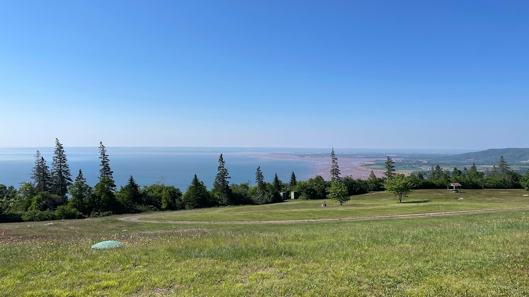
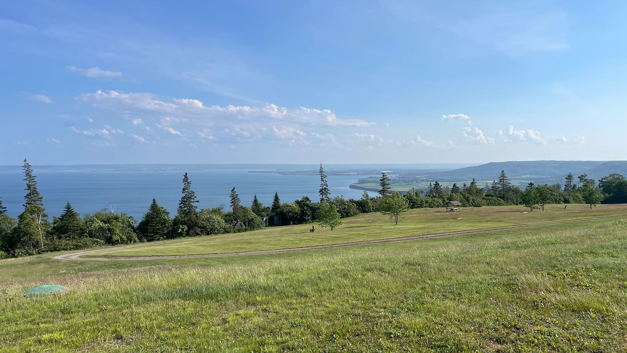
Every time one of us talked about visiting Nova Scotia, friends Milo and Patti suggested: you must visit Blomidon Provincial Park! It’s been on the list for some years by now. Well, now we know why! Thanks Milo and Patti – what a beautiful place! The park sits at the top of some cliffs at the west end of the Minas Basin, and about half of the campsites have long views of this body of water. The other half are in fields or woods that are away from the view, though sheltered from the wind.
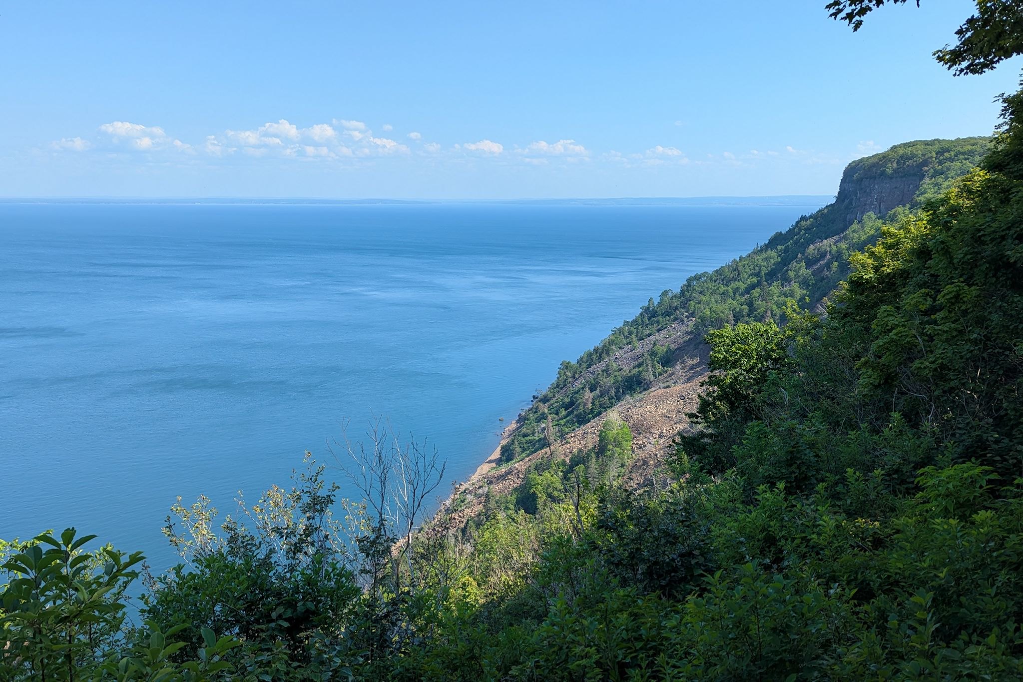
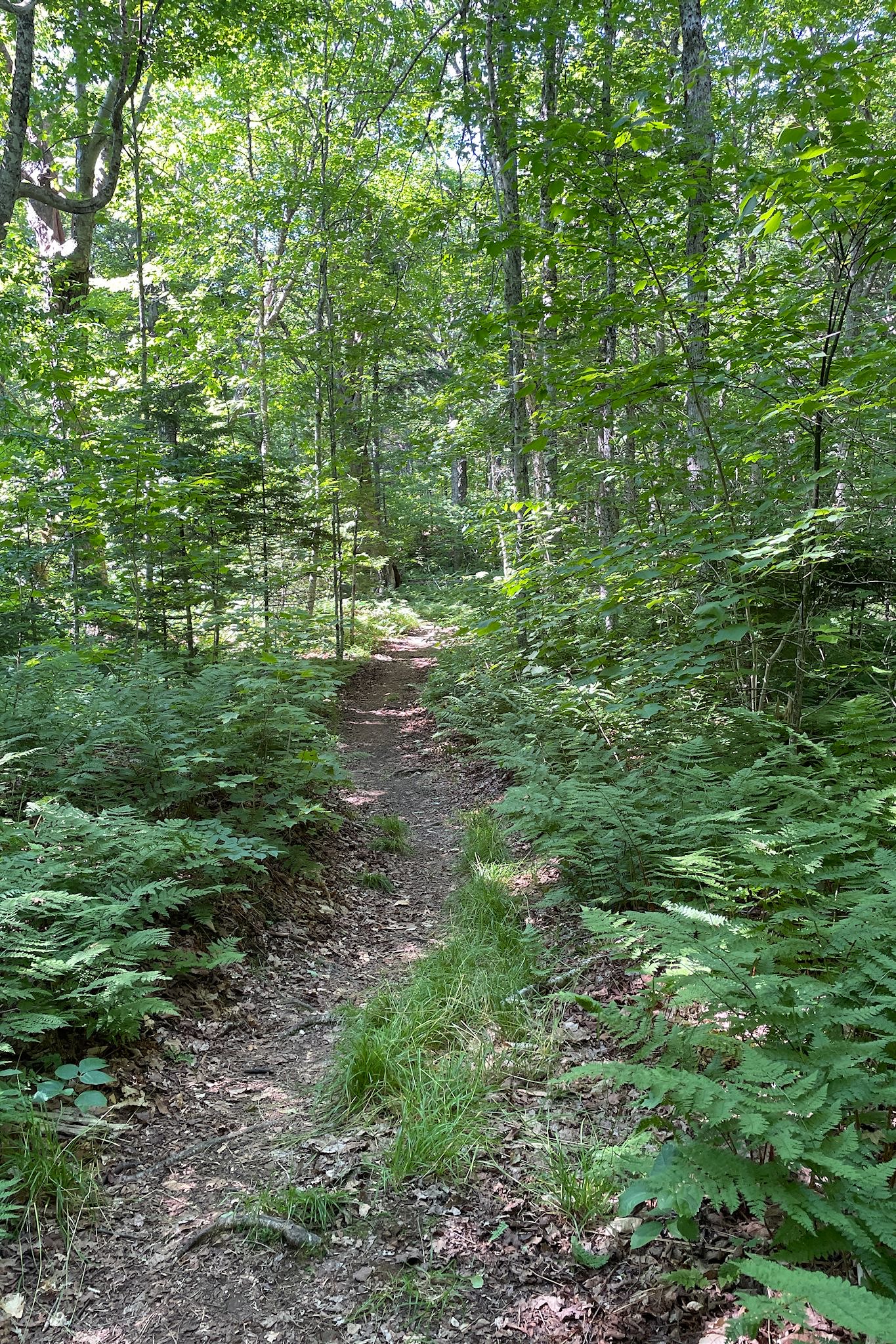
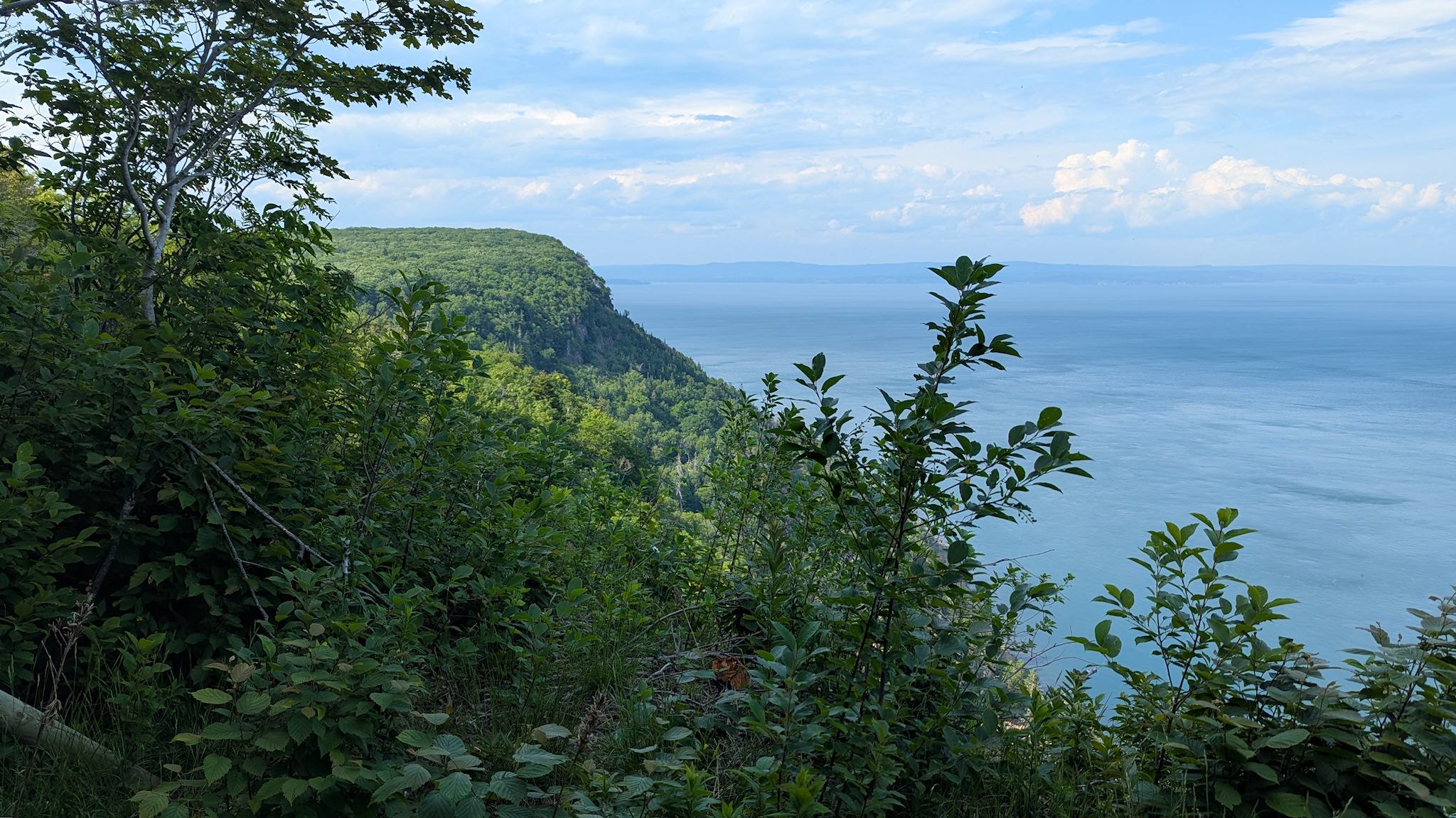
There are hiking trails everywhere! In an effort to test my endurance again as I recover from the West Nile virus, we embarked on the Woodland/Lookoff hike, a loop that took us out through the forest, to return along the cliffs. On the park map, it looked like it would be about a 1-hour hike, a few kilometers. Hmmm… ok, on y va! It was a beautiful hike with wonderful views out over the Minas Basin. However it took us closer to 2 hours – and it’s very possible that the campground portion of the map and the hiking trails section were not to the same scale. Oops! Still, we enjoyed every minute of the hike, even though it was a big stretch for me. The next day was declared to be a rest day!
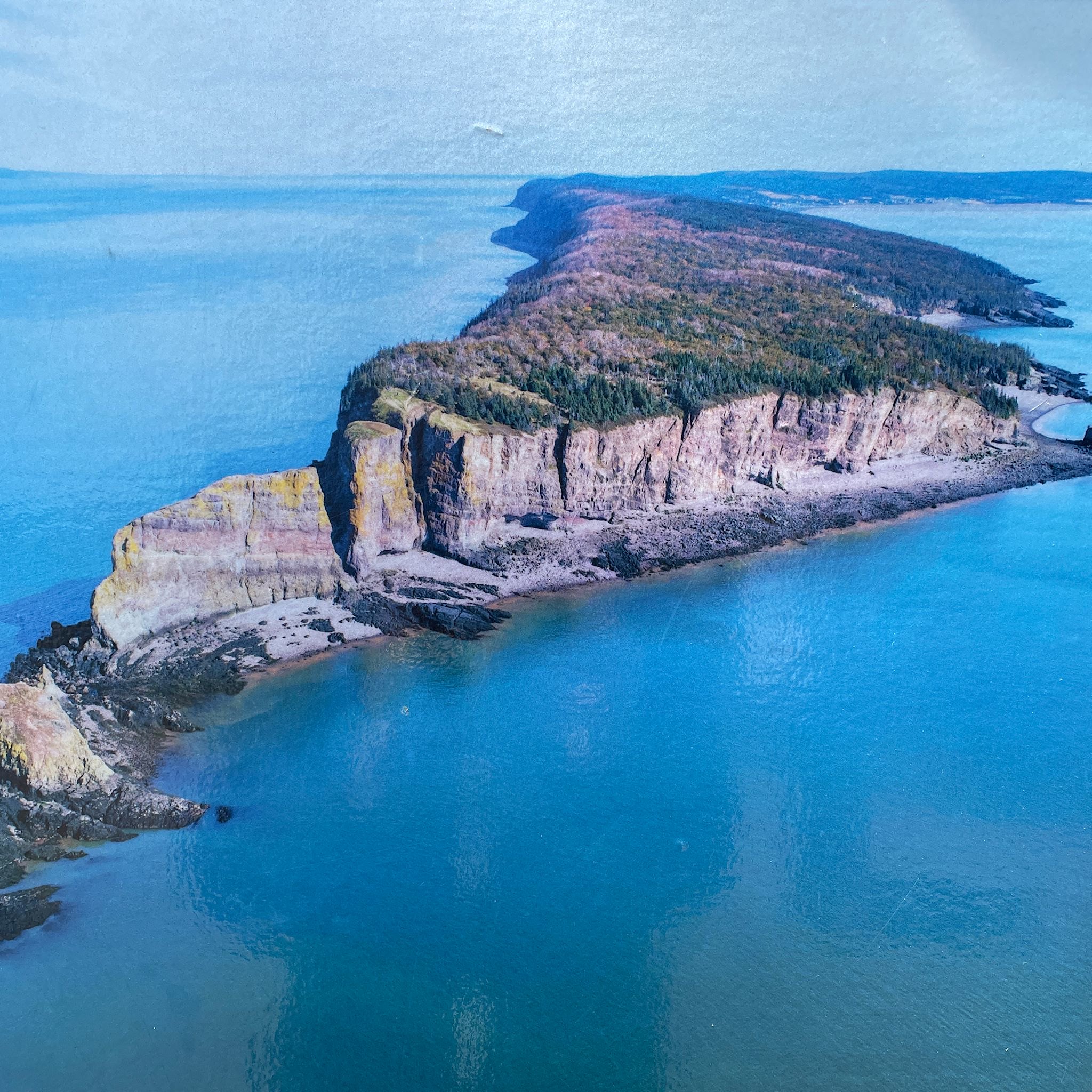
Cape Split creates a narrowing at the western end of the Minas Basin. We’d long intended to do the signature hike along the cape to the very end of the Blomidon peninsula, except that the trail description advised allowing 4-5 hours for this hike it characterized as moderately strenuous. Sadly, we acknowledged that it had become out of reach for this visit. We did get a photo of an aerial photo posted at the trailhead, and it does indeed look like our kind of hike! We had enjoyed the drive up to the trailhead along Scot’s Bay, and if we’re ever in Nova Scotia again…
With Blomidon being a half-hour drive from two of our other e-pushpins, we extended our stay for a few more days and used the park as a base camp for excursions.
We spent a little time in Wolfville (pop 5,000) on Sunday – the town has a (free!) summer concert series at a town park on Sunday afternoons, so that was an easy decision.
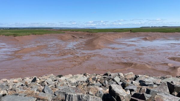
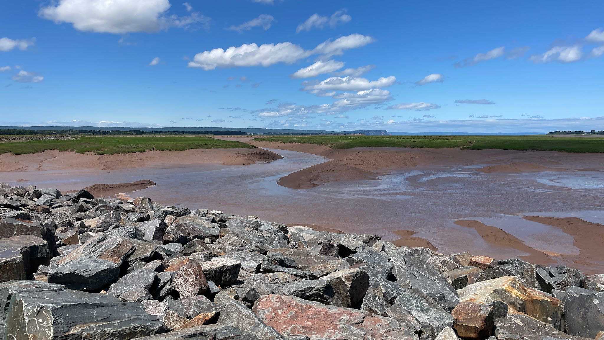
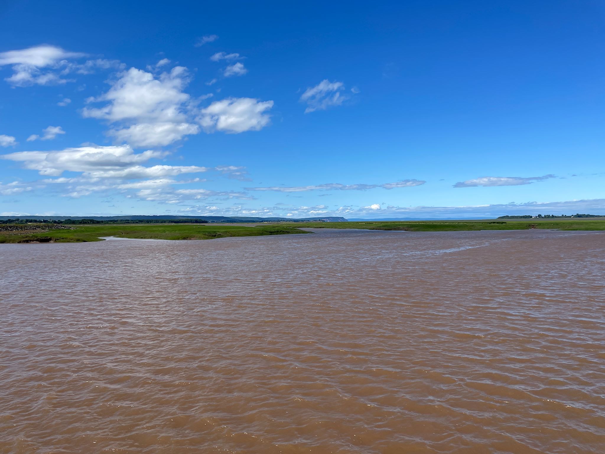
Wolfville had made our list because of its reputation as a good place to get a feel for the extremes of the famous Bay of Fundy tides. We stopped at the visitor’s center to get the lowdown, and they told us the best place for that was Waterfront Park, which turned out to be the very same park we were going to for the afternoon concert. Great! We spent the morning gawking at the big, soft, pink undulating ridges of sandstone, surrounded by tidal pools and winding channels from the wharf. While exploring downtown and doing a little shopping, we stumbled into EOS Natural Foods, the best stocked natural food store we’ve found so far in Nova Scotia (actually, they rival any similar store we’ve found, anywhere!).
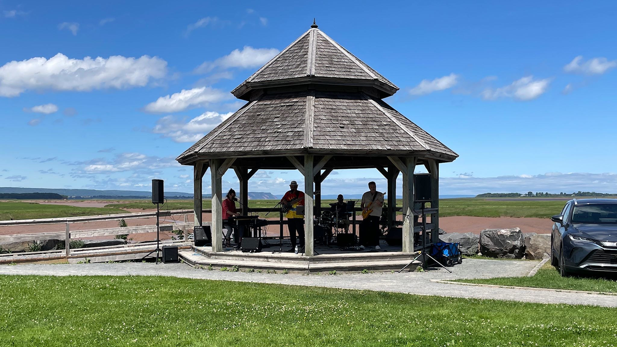
Returning to the park in time for the concert, we were treated to BC (Brian Chhangur) & Burning Love – mostly an Elvis Presley tribute band, minus the gyrating hips and with a fair amount of non-Elvis hits from the 50s through the 70s. There was a large and enthusiastic local crowd who came out for the show, and the weather was perfect. We bopped along with the music, got up and danced a little, and we cherished the earworms residual melodies that continued entertain us for the next couple of days. Oh, and by the end of the concert it was high tide, so we were off for another round of tidal views and photos. What a difference 6 hours can make!!!
I’ve mentioned that my mom’s family is Acadian, originally from New Brunswick. For this reason, I gravitate toward historical sites that highlight the unique cultural identity of this group of people. Most arrived in what was then called New France (now the Maritime Provinces) in the late 1600’s. They came mostly from coastal regions of France, and of course they spoke French. The Acadians lived a lifestyle based on self-sufficiency and farming the rich marshlands that surrounded the Bay of Fundy. They got along well with the indigenous people who already lived in the area, the Mi’kmaw, and during all of the wars between the British and the French for rights to Nova Scotia and New Brunswick, the Acadians chose to be neutral. They just wanted to live their simple farming lives in peace and harmony with the land.
Our visit to Grand Pré was enlightening. The Acadians adapted marshland farming techniques from their homeland that were uniquely suited to farming along the Atlantic coast and the Bay of Fundy, refining and developing sophisticated designs for dykes and aboiteaux (wooden sluices with one-way valves) that enabled farming the marshland’s very rich, fertile soil, adjacent to the highest tides in the world. They were also known for their community-based management of these systems, optimizing and sharing resources for the common good.
Unfortunately, the British didn’t trust the Acadians’ desire and commitment to remaining neutral. British Lieutenant Governor Charles Lawrence (apparently an early historical version of Stephen Miller) ordered all Acadians to be deported in 1755 – known as Le Grand Dérangement. A movie at the Grand Pré visitor centre brought to life how the men, then separately women and children, were rounded up and placed on ships (not necessarily as families) and sent south to any port that would accept them. Some were sent back to France. About half of the ships sank, and large numbers of Acadians were lost at sea. Some went as far as Louisiana before finding their refuge, where “Les Acadiens” came to be known as Cajuns.
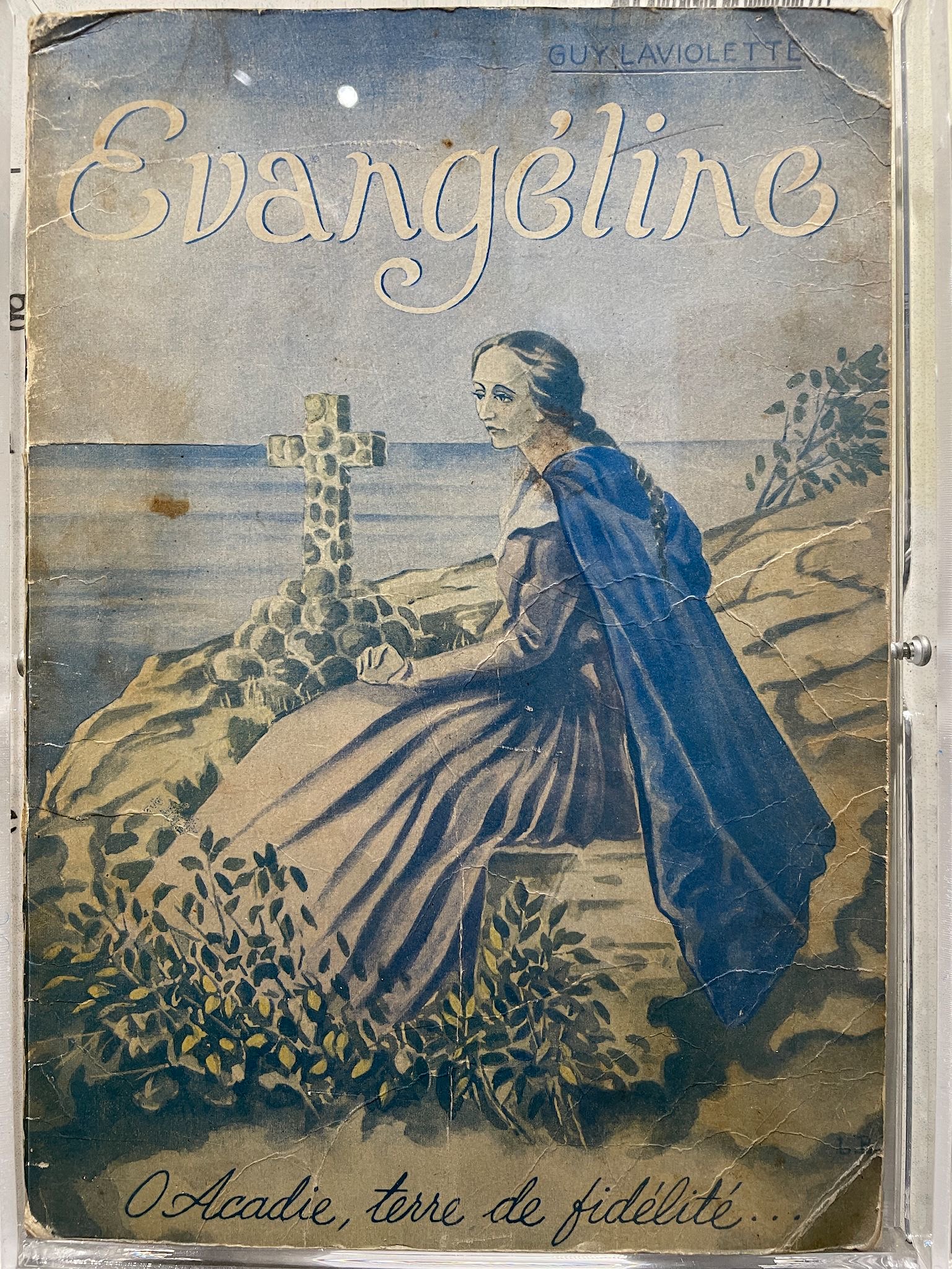
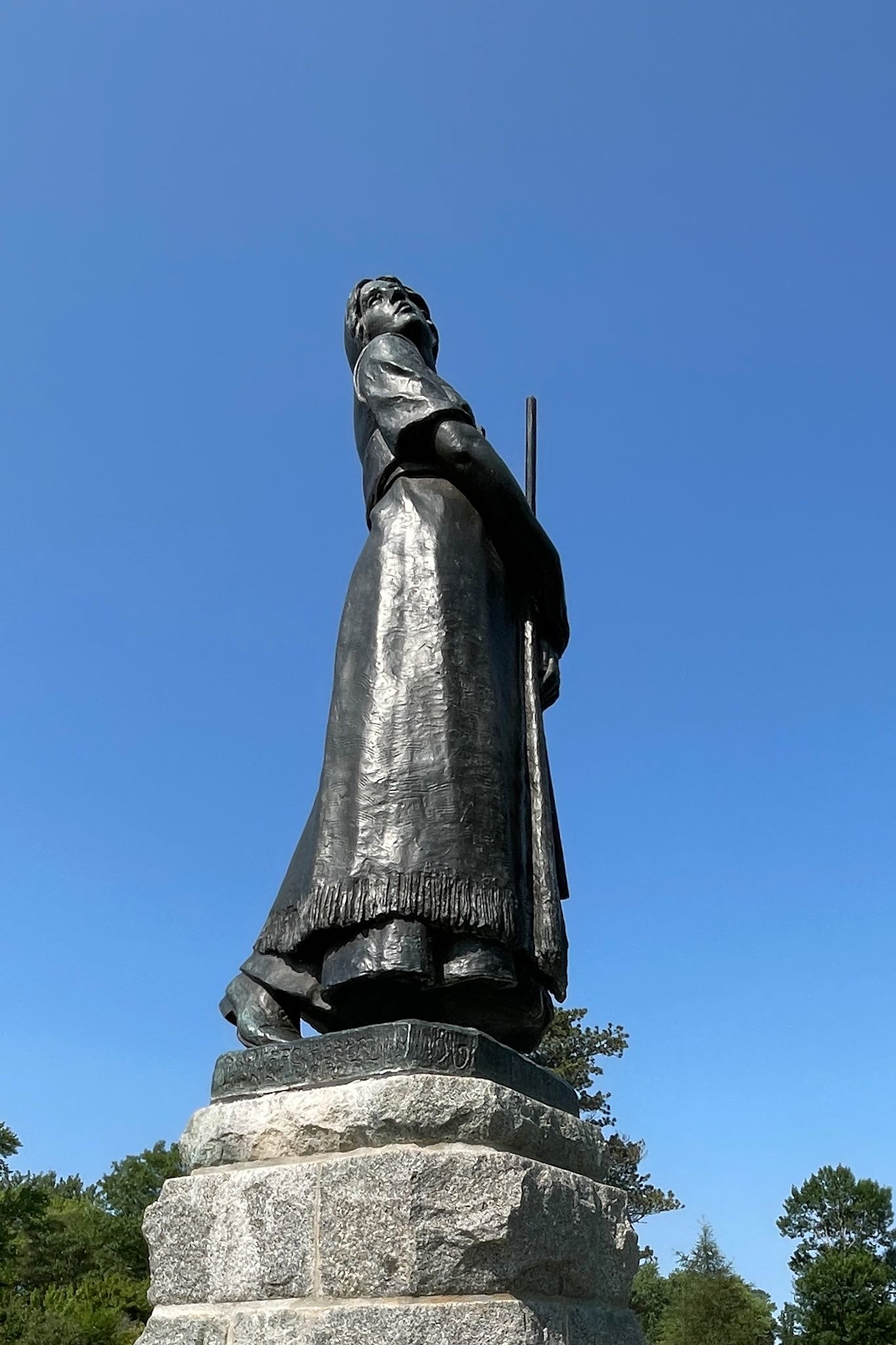
In 1847, Henry Wadsworth Longfellow wrote a long-form poem about the fictional Evangeline Bellafontaine and her heartbreak at being separated from her betrothed, Gabriel Lajeunesse, during Le Grand Dérangement/Deportation. They spent years searching for each other and (spoiler alert) finally reunited in old age – Evangeline, who had joined a convent and become a nun, cared for Gabriel as a poor, dying old man. The Grand Pré historical site is the location of the famous Evangeline statue that’s come to represent the anguish and hope of the Acadian people.
Three e-pushpin locations along the Minas Basin were beautifully integrated to enable an optimized view of a tidal bore along the Shubenacadie River. These came at the suggestion of the Fundy Tidal Interpretive Centre, recommended by friends Mark and Linda.
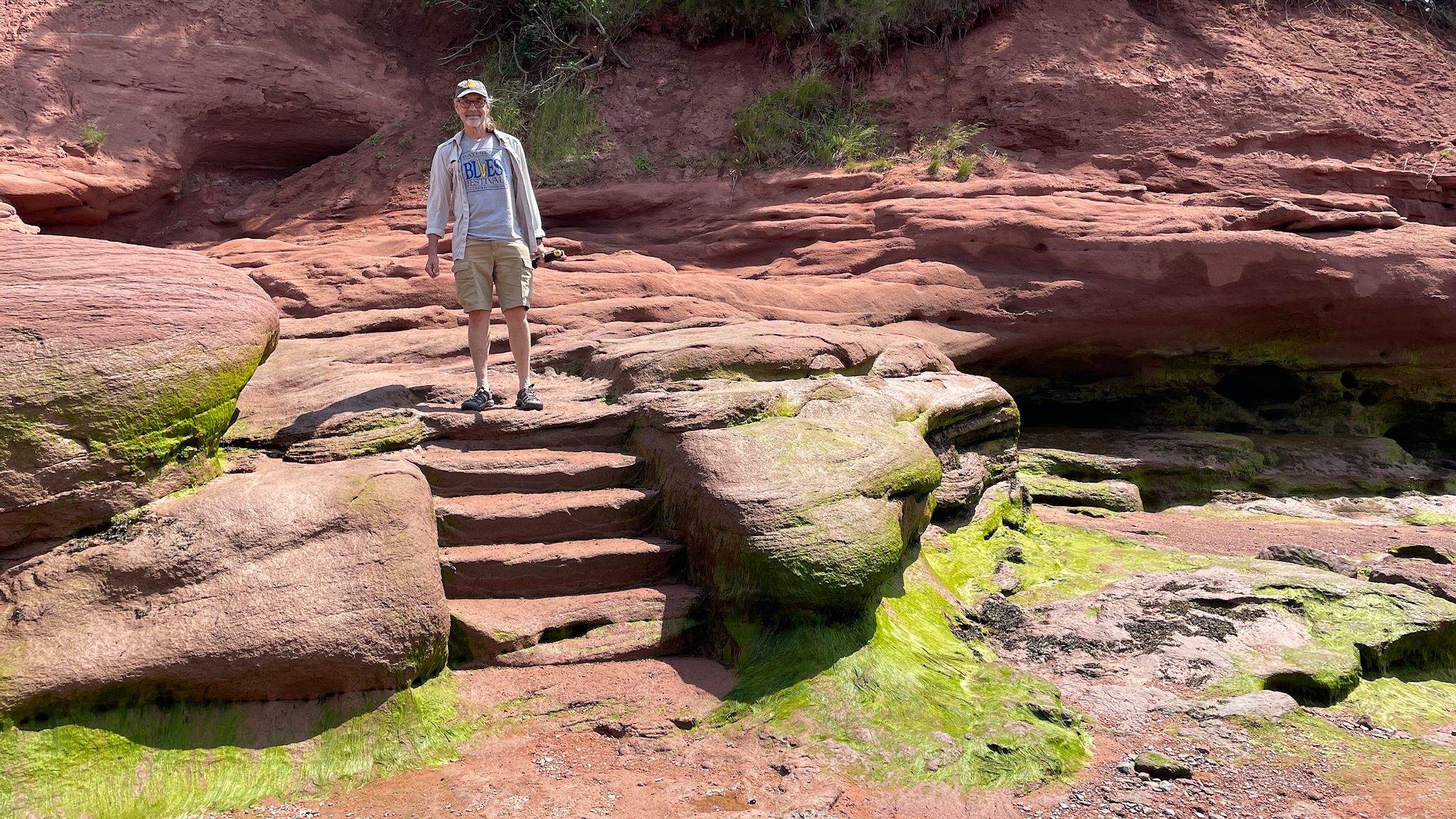
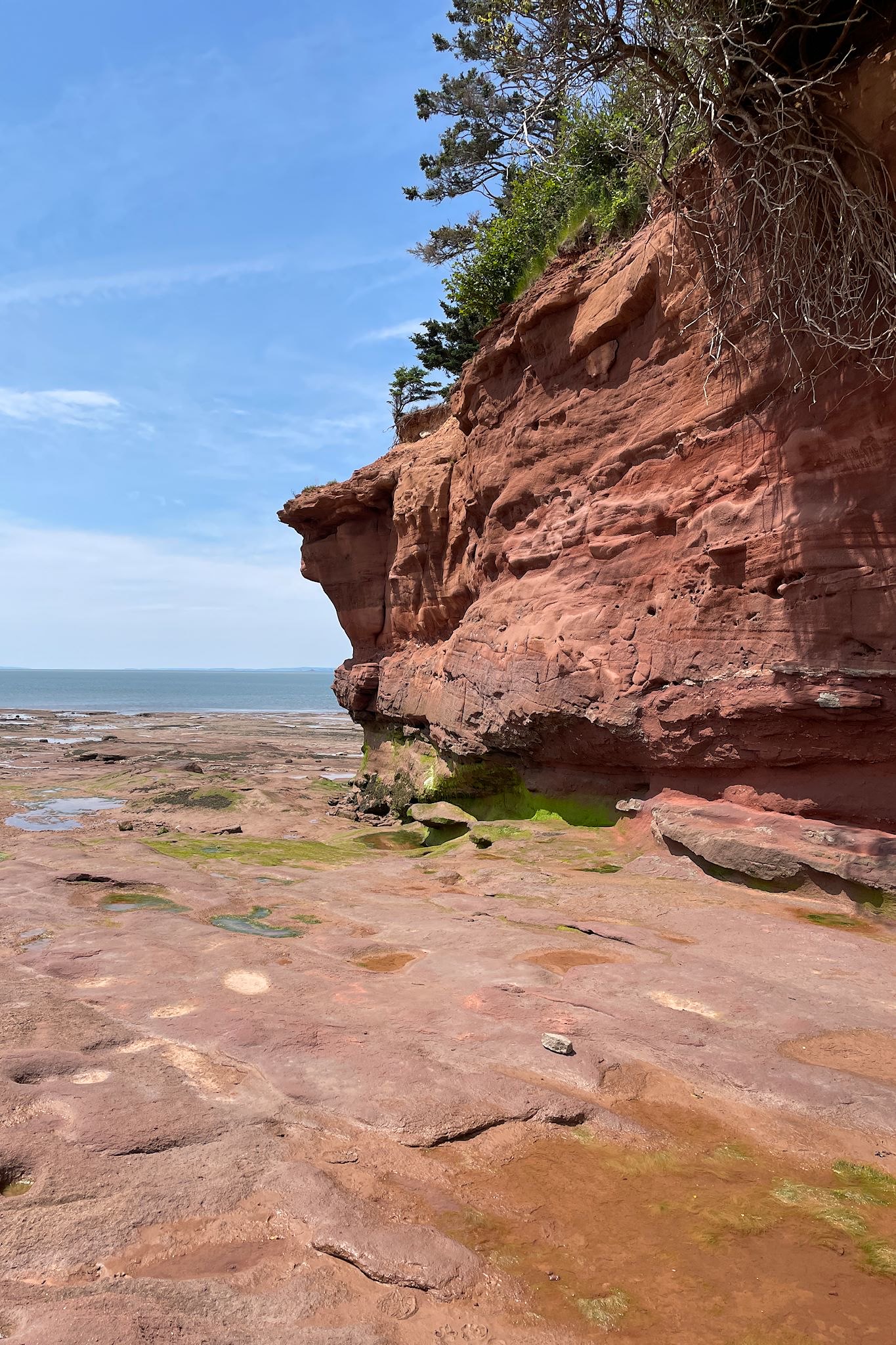
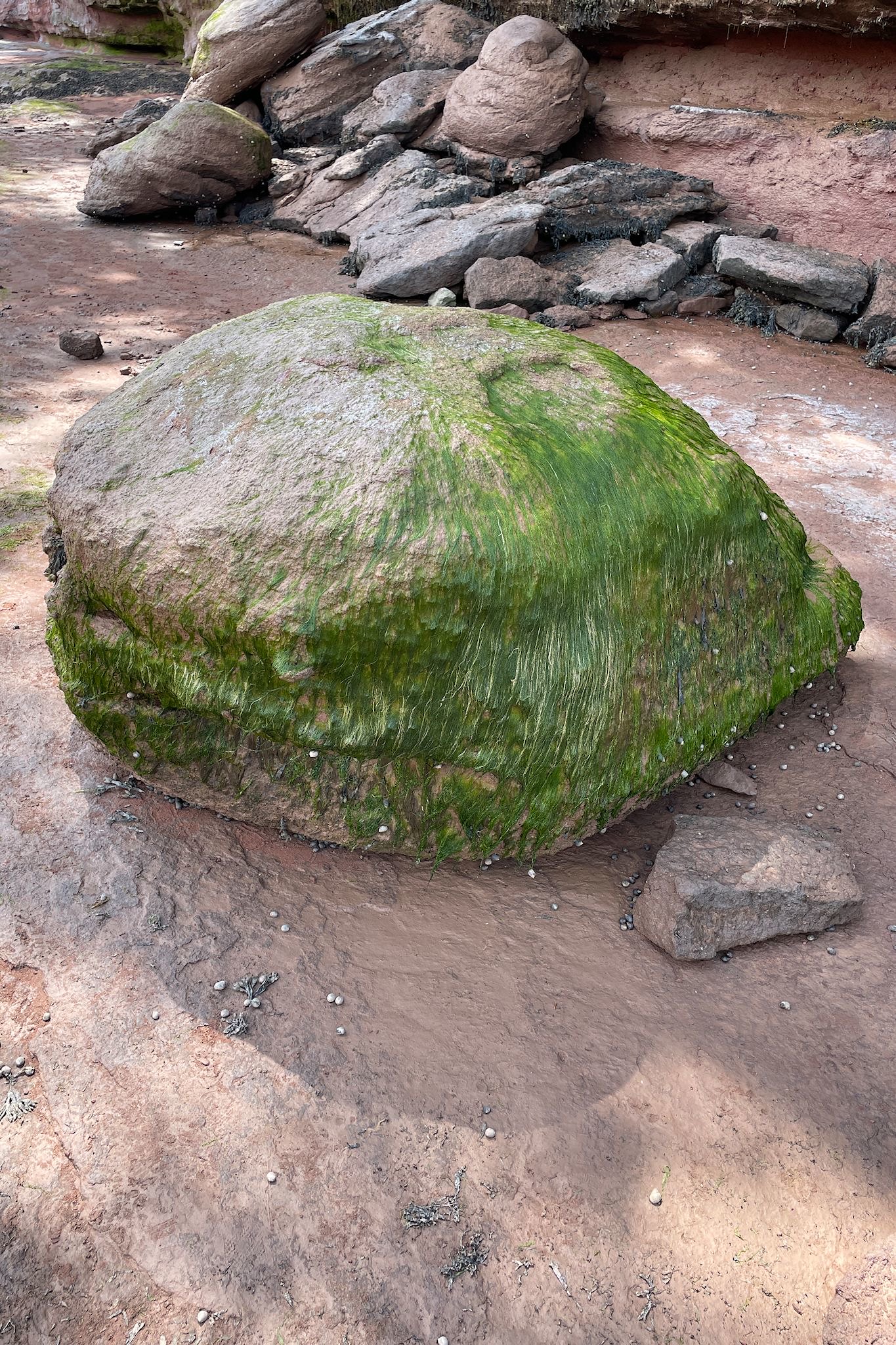
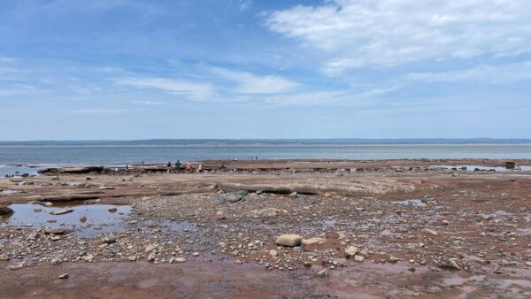
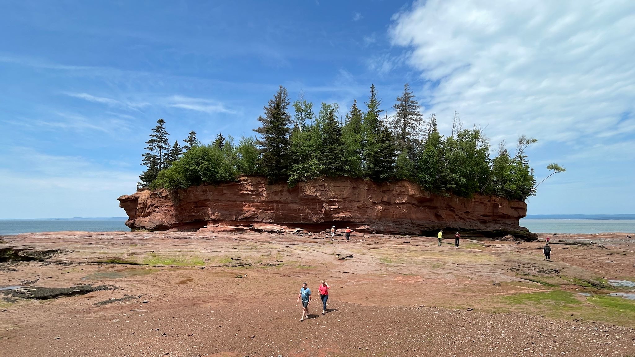
Our first stop was low tide at Burntcoat Head, where the highest tide range in the world was recognized by the Guinness Book of World Records in 1975 at 16.3 M/53.6 feet. With the help of steps carved into the sandstone, we descended to the ocean floor to explore. Giant sea stacks (aka pot rocks) demonstrated the height of the tides for us – we could stand at the base of one of these massive structures at low tide, and see where high tide reached the bottoms of the trees. Since the ocean floor is underwater half the day and in daylight the other half, bright green algae grows prolifically on rocks and elsewhere and provides a nice contrast with the red limestone rock walls. At the water’s edge about an hour after low tide, we watched as rocks were swallowed before our eyes by the rising tide.
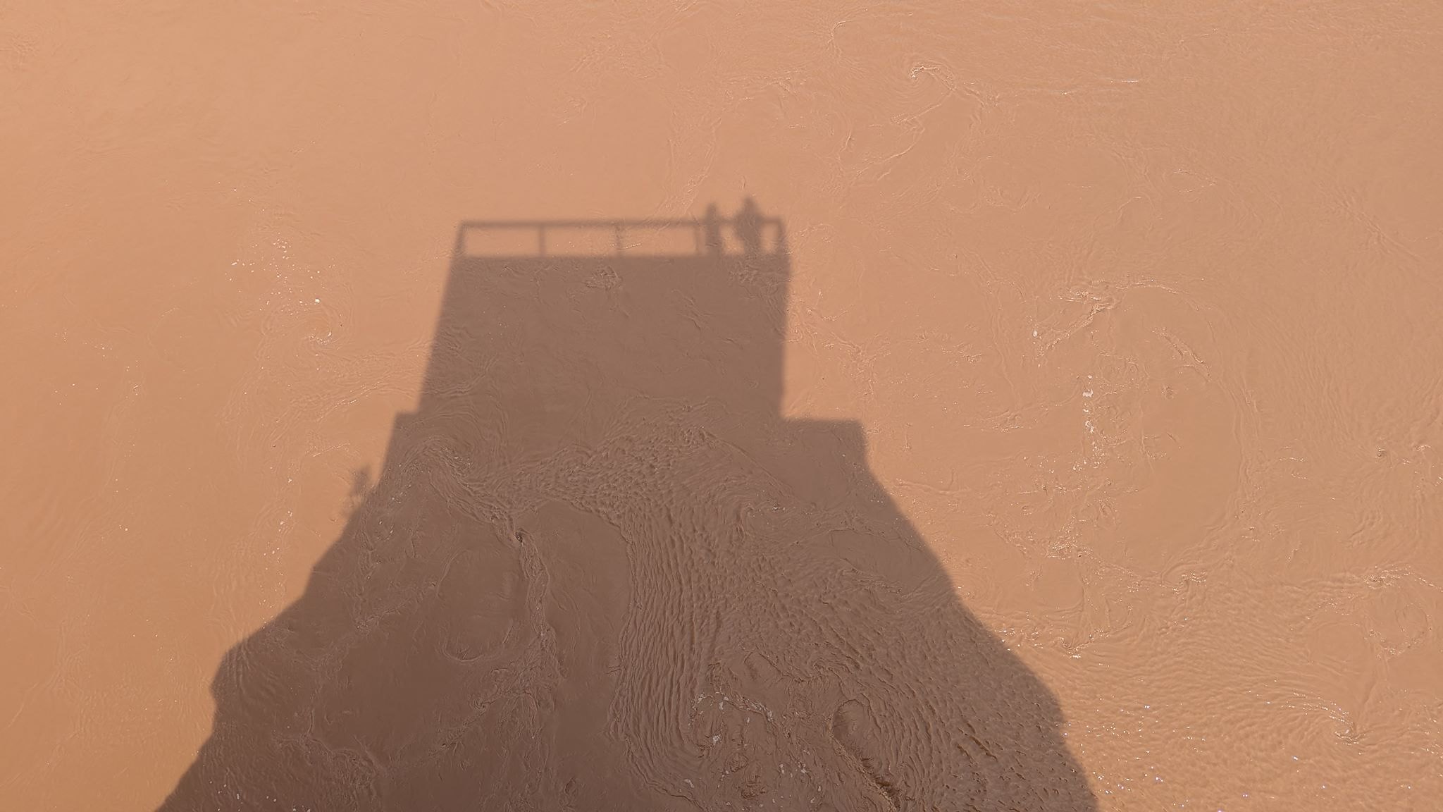
The next stop was the Fundy Tidal Interpretive Centre (FTIC) where we learned more about tides, and specifically about a tidal bore – a relatively large wave formed by the fast-rising tide that propagates up the river. Armed with our new knowledge, we went to a viewing dock a 10-minute drive downriver at Dawson Dowell Park in search of our first tidal bore. The park is quite close to the mouth of the Shubenacadie River. Spread out across the wide mouth of the river, the tidal bore would be small, but distinct. We were told it would arrive within a 20 minute window, then about an hour later (and considerably larger) it would make its way up to the FTIC. As expected, the bore was not pronounced (so no excellent photos, sorry!). However, a surge of water shaped like an arrowhead was clearly headed up the river even while surrounded by the rest of the river, still trying to get to the basin. And back upriver we went…
5:53 – Here it comes! Tidal Bore at FTIC (watch the horizontal white line and the sandbar on the right)
5:56 – There it goes!
5:59 – Heading up the Shubenacadie River (watch the sandbar above the bridge)
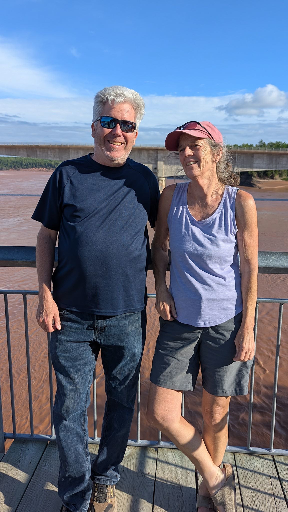
Back to the FTIC where the tidal bore would be more pronounced. We joined about 30 others on the viewing platform, quietly and anxiously awaiting the wave. And there it was! A giant white wave was coming up river, toward us, at a healthy clip. Within 3 minutes, the wave continued past up and eventually further up the Shubenacadie River. After some oohing and aahing, we just sat for a bit thinking (at least I was) about the power of water. I was distracted when someone called my name. I looked in his direction and he again said ‘Sue? Aren’t you from Drumeo?’ (Yes I am, and I have a shirt on board to prove it – although wasn’t wearing it then.) We met last year at the live Drumeo meetup in Ontario – awesome to see you again James! We’ve had a few ‘it’s a small world’ moments in our travels, and this one is right up near the top.
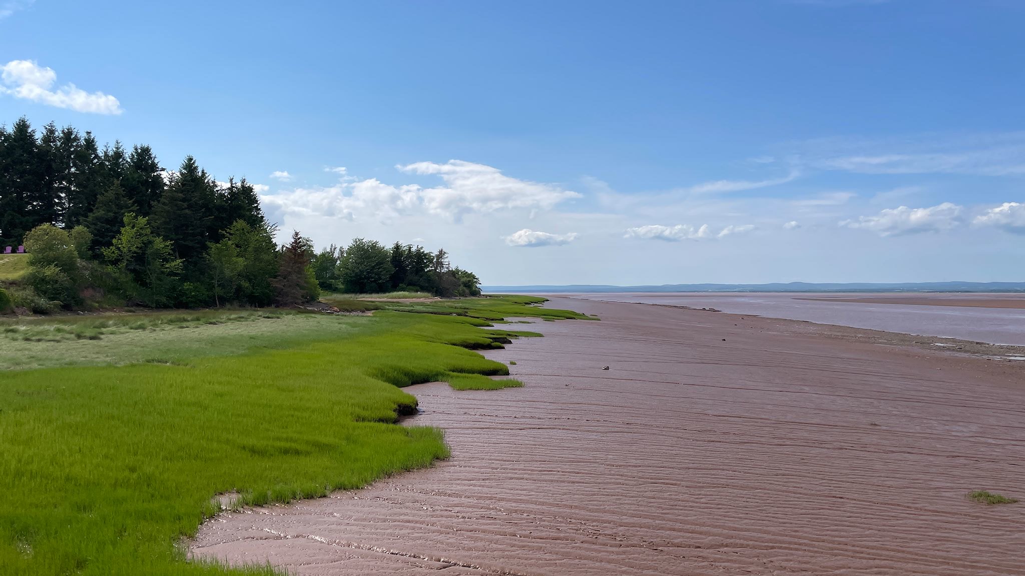

To complete the tidal bore experience, we returned to Dawson Dowell Park just in time for high tide. Again, what a difference 3 hours makes along the Minas Basin. The timing was perfect to get to experience the extremes. Thanks Mark and Linda!
For anyone who’s interested, more Blomidon PP, Woodland/Lookoff/Jodrey hike, Wolfville, Grand Pré, Burntcoat Head, Fundy Tidal Interpretive Centre, Dawson Dowell Park pix…