
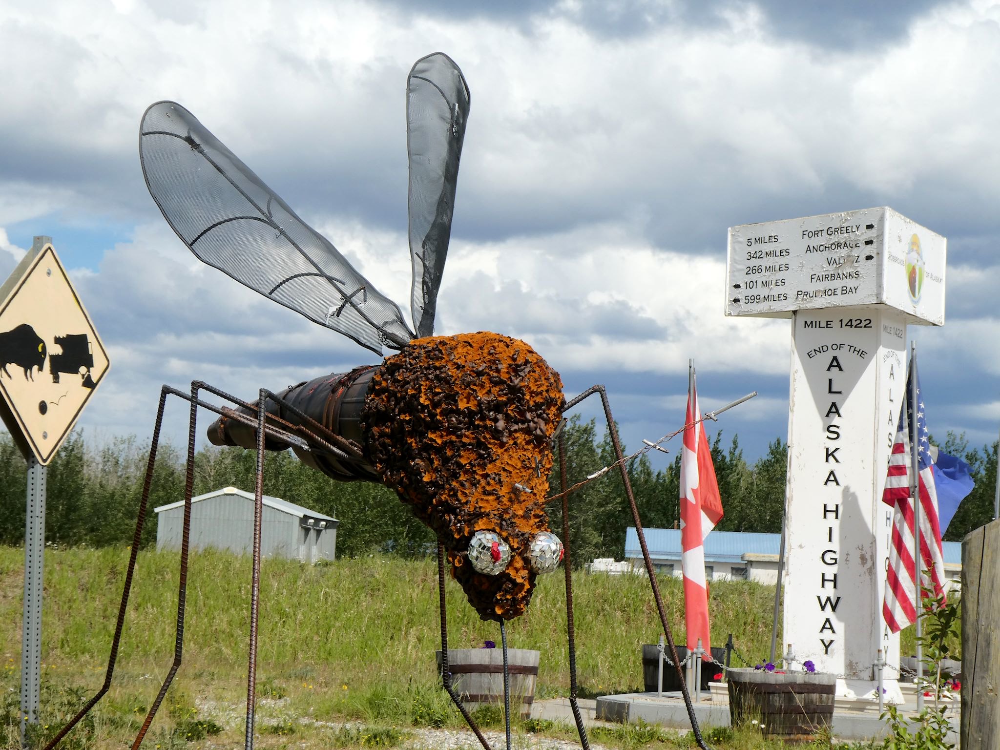
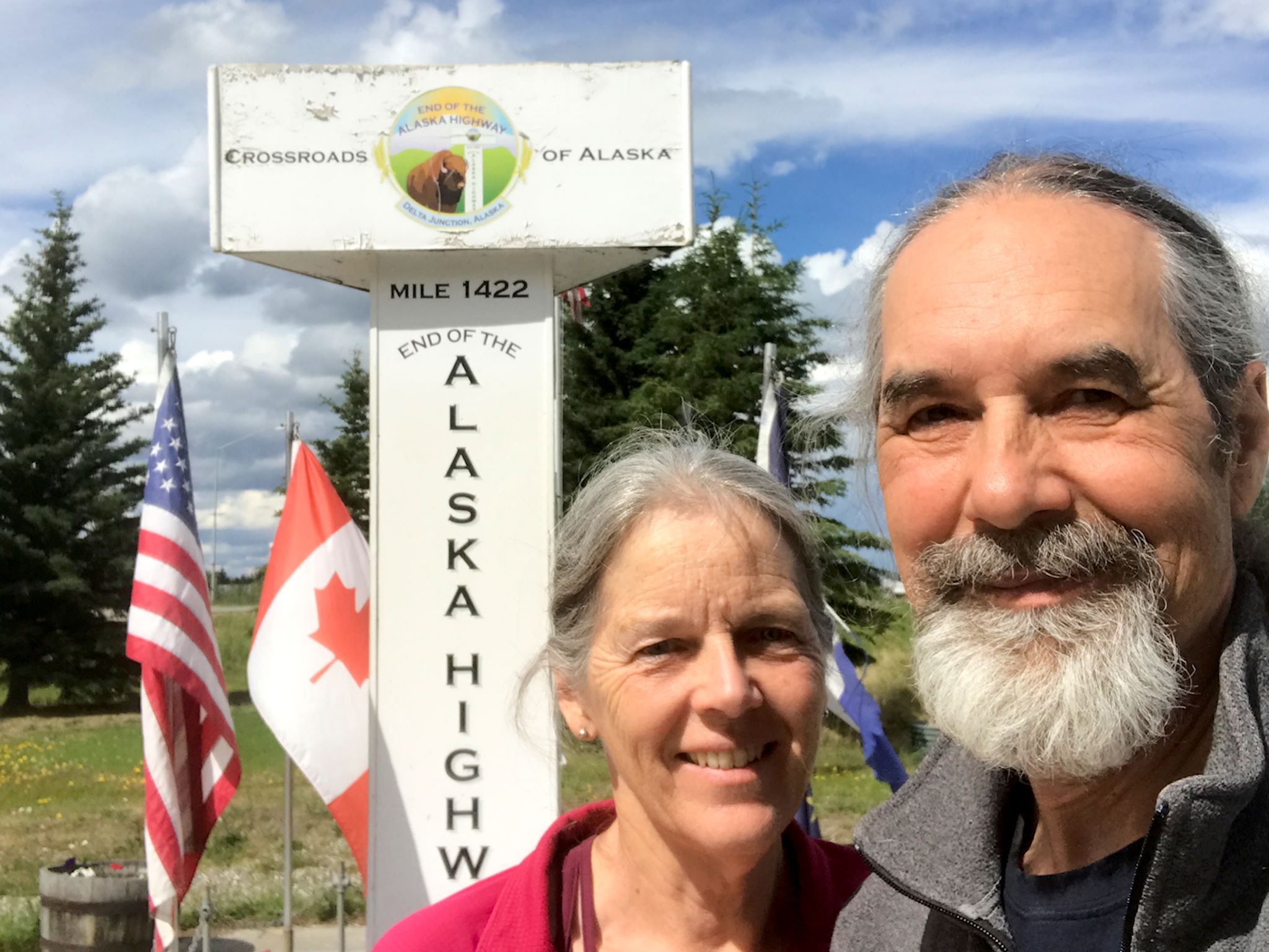
A bit more than two weeks after leaving Mile 0 in Dawson Creek, BC, we arrived in Delta Junction, AK, at Mile 1422 and the official end of the Alaska Highway. Unlike Dawson Creek, where RVs line up for pix of the start and much of the town’s activity is focused on this unique claim to fame, there’s not usually much of a line at the highway’s end in Dalton Junction. Many travelers split off once in Alaska at Tok, choosing one of three directions, so there are fewer and far more distributed tourists arriving in Delta Junction, though we did see another RV during short our visit. And of course we did take the required Mile 1422 marker photo!

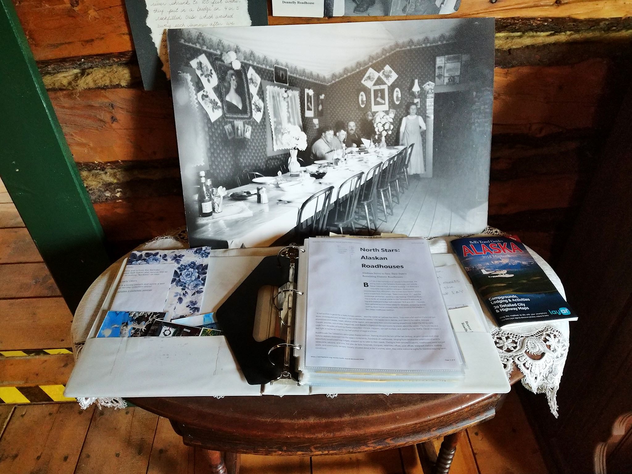
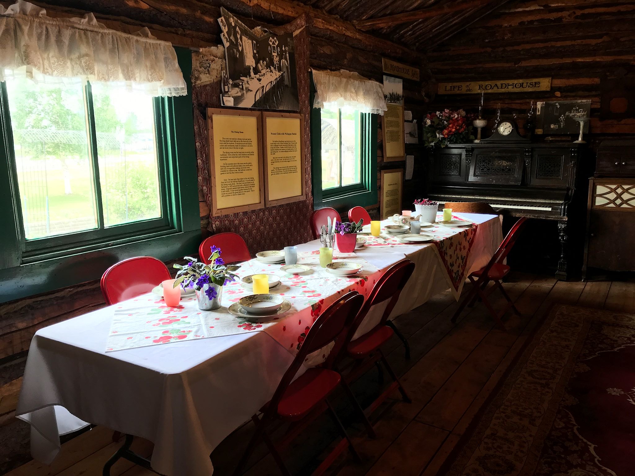
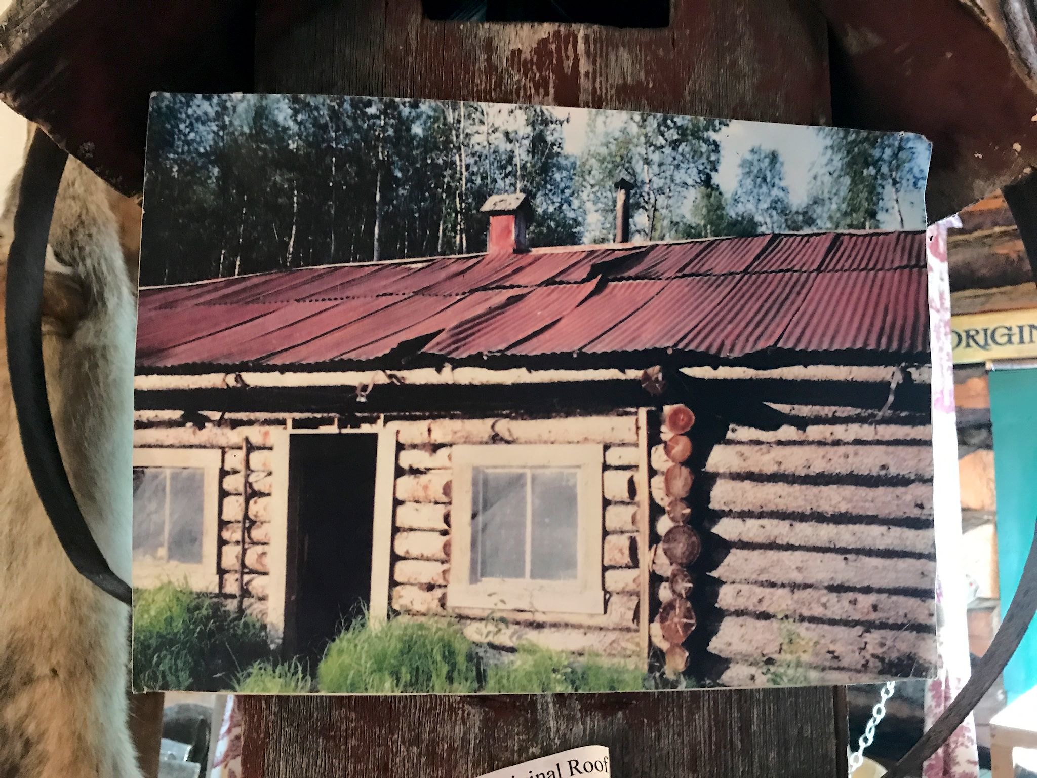
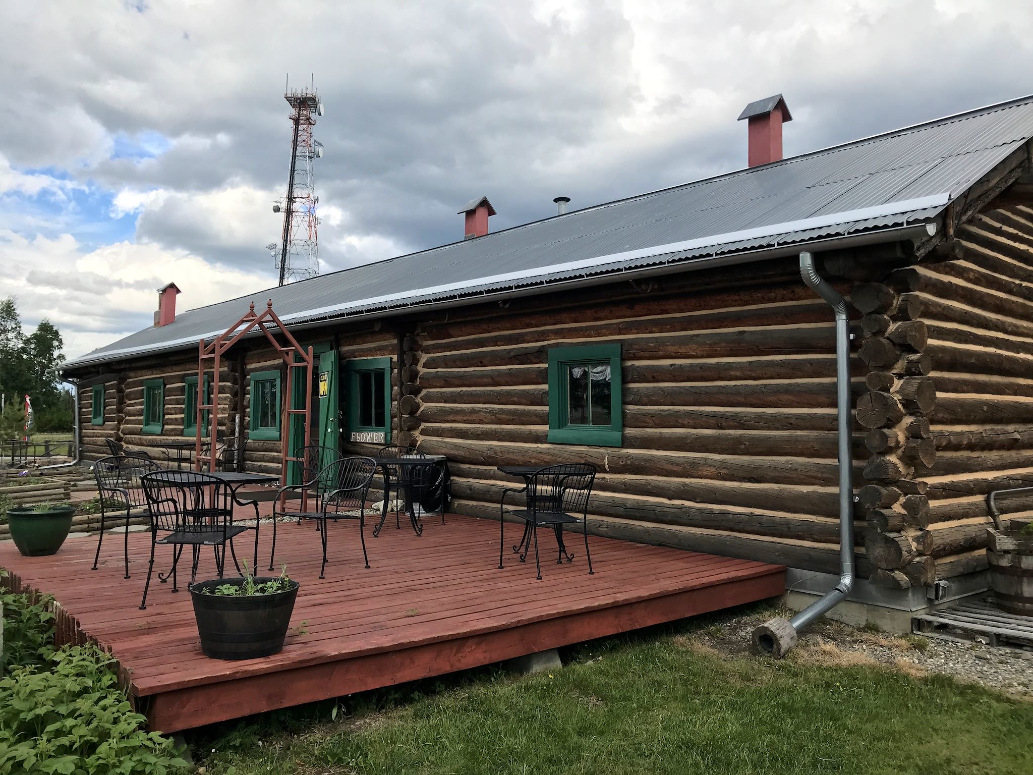
Delta Junction (pop 900) is a small, remote town. The hoppingest place in town while we were there was the ice cream shop. Second place goes to the gas station, the only one for more than 100 miles in any direction! Located on the original stage road from Valdez (shipping port) to Fairbanks (gold mines) in the early 1900s, Delta Junction served as an important crossroads. The Sullivan Roadhouse, the oldest and most elegant of it’s kind, operated 1907-1922, serving the travelers of the day. It’s now a museum, showcasing the photography and writings of James Theodore Geoghegan – a British hired hand of the Sullivans’ who eventually became a roadhouse owner, himself.
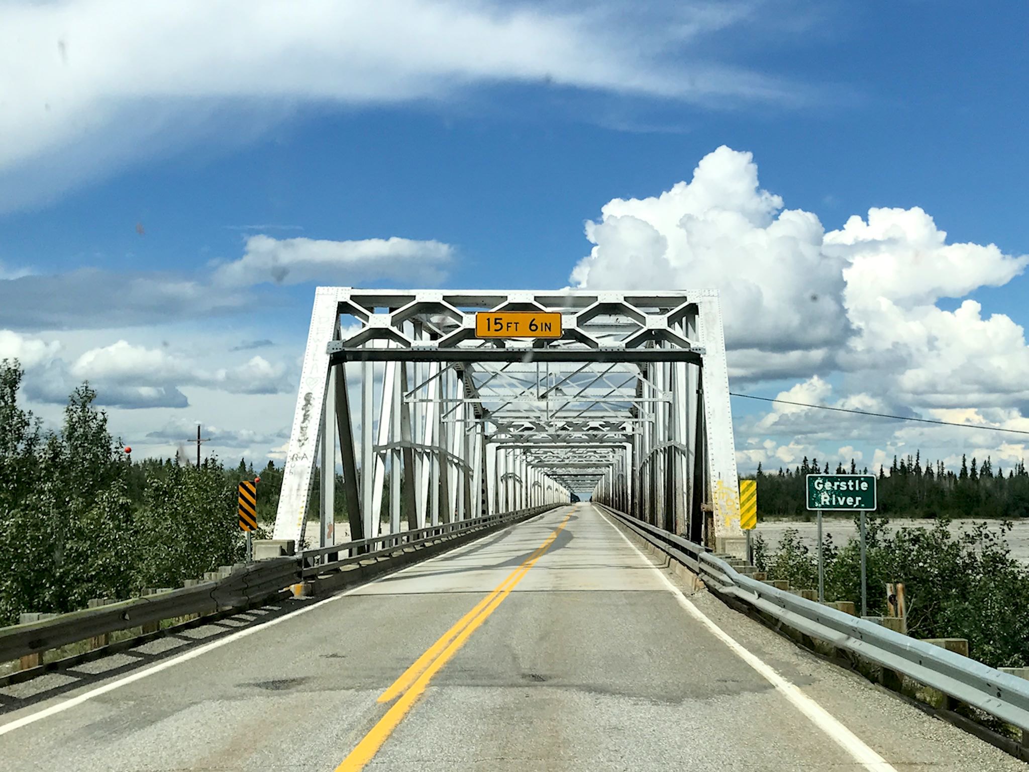
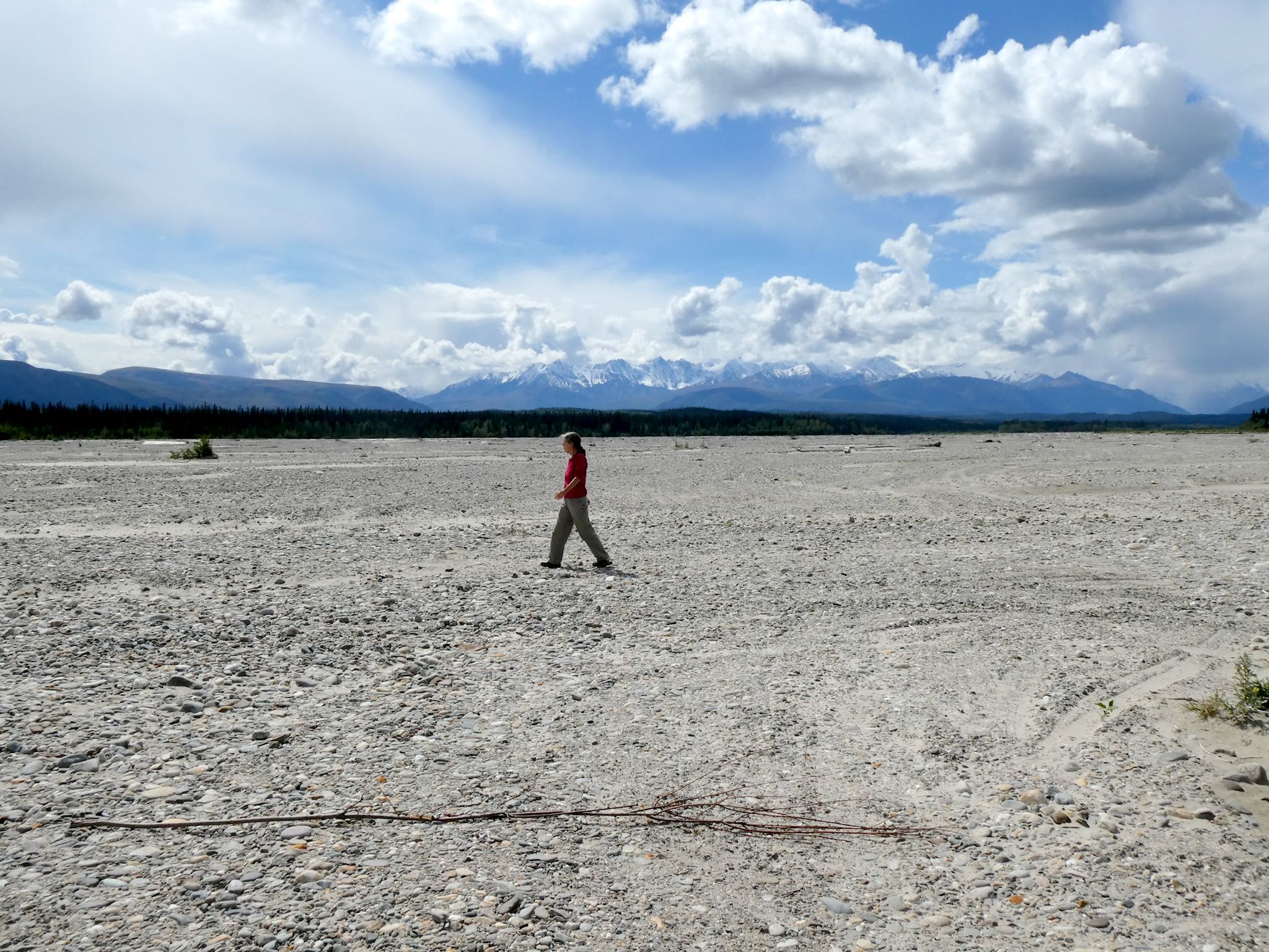
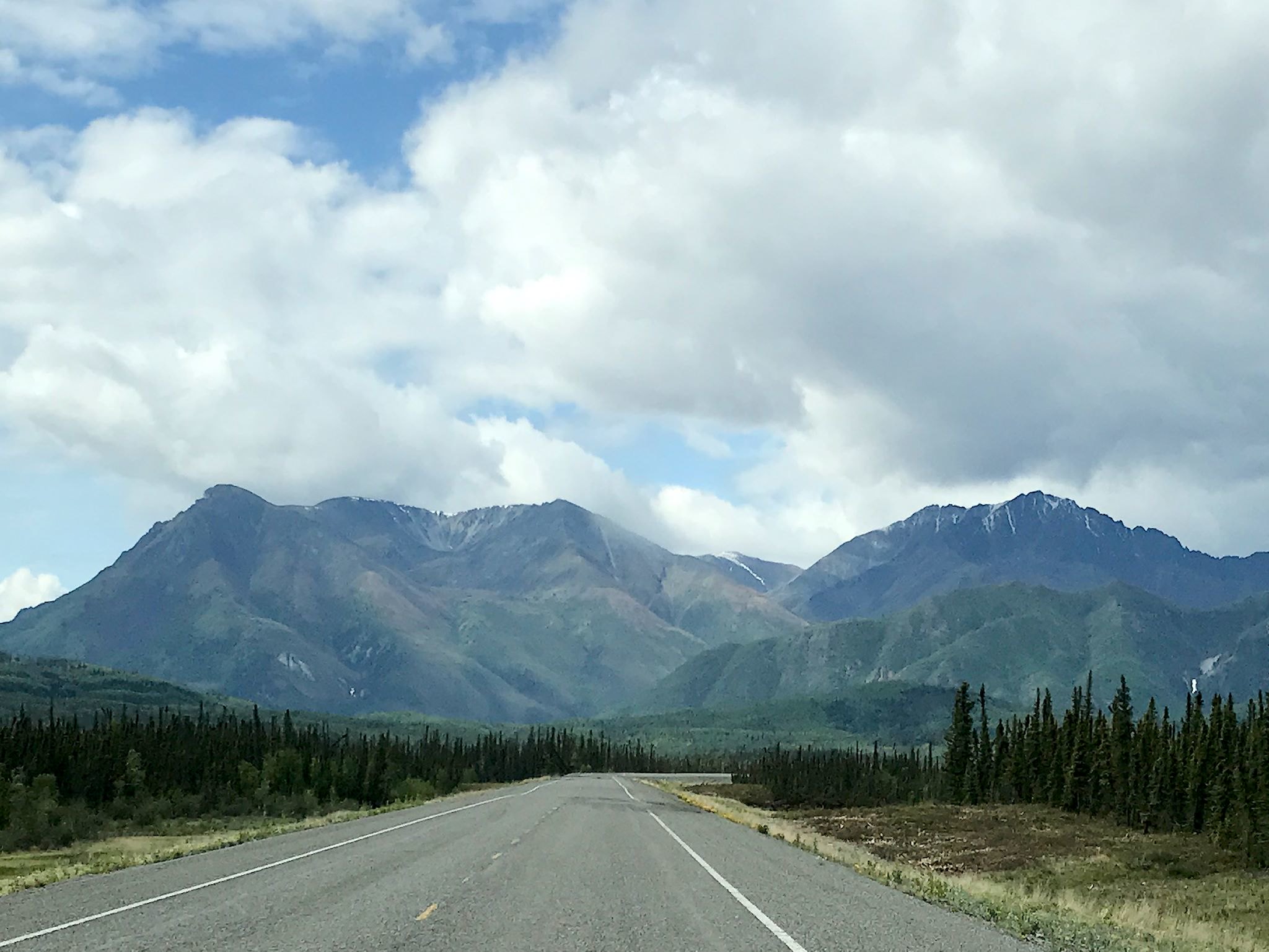
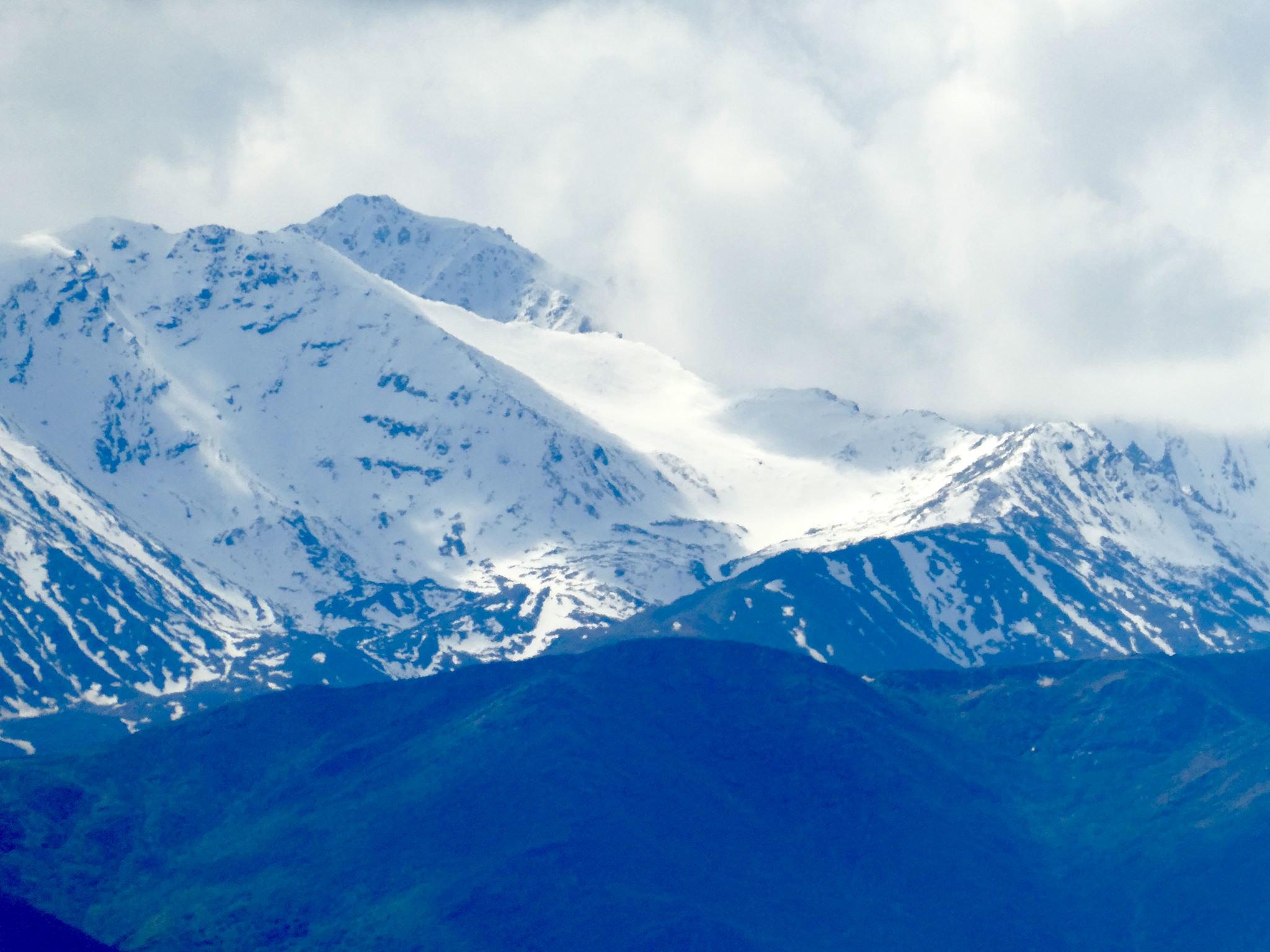
Back to the last third of the Alaska Highway… The drive through Yukon and extreme eastern Alaska is very pretty – and pretty sparsely populated. Most of Yukon is mountainous and we always enjoy rounding a corner or topping a hill to find yet another mountain peak in our faces or another picturesque lake. Near and across the border, the terrain changed to taiga – long, rolling valleys of swampy coniferous forests split by wide, shallow braided rivers.
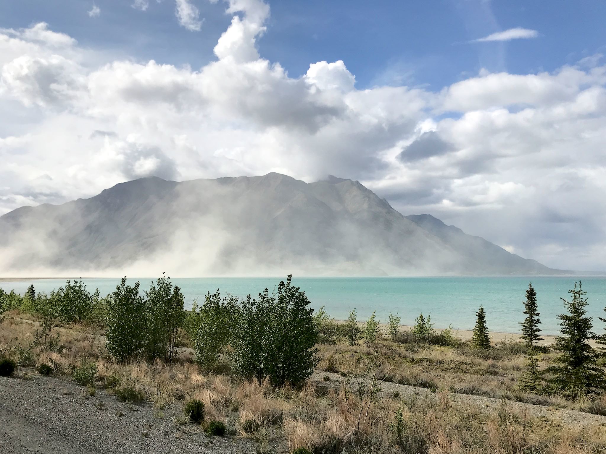
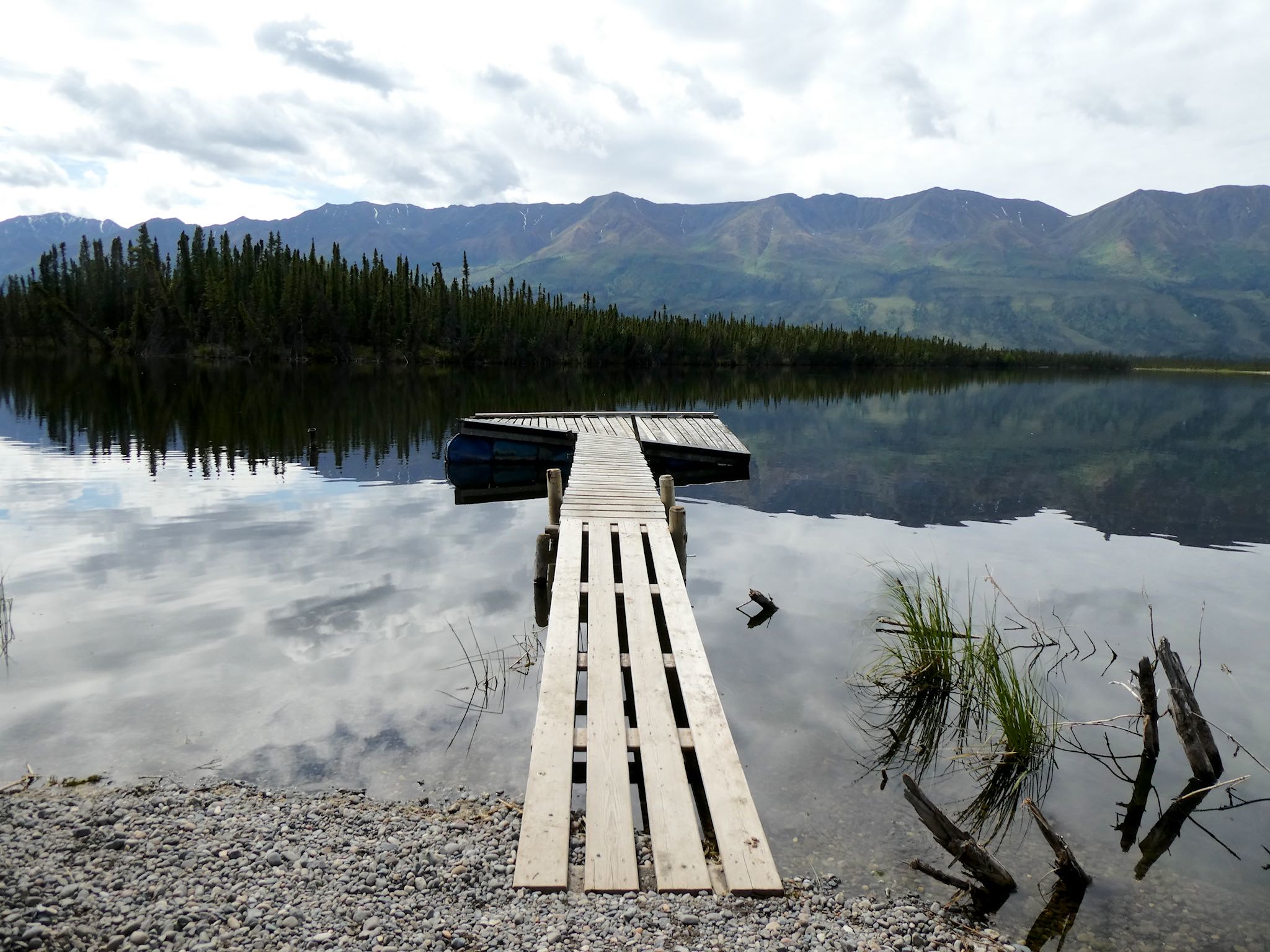
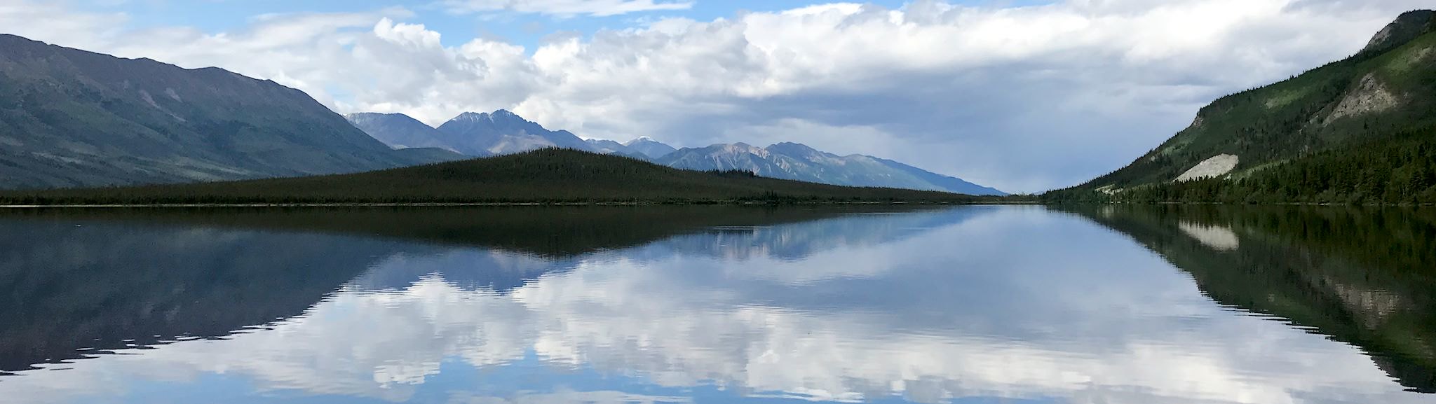
Kluane Lake in Yukon has a fascinating recent geological history. The direction of its flow reversed course in the 1600s, when a glacier advanced to block the lake’s outlet to the Slims River, raising the level of the lake until it overflowed and carved a new outlet through the Kluane River. Over the past 30 years, the Kaskawulsh Glacier, which is the source of water for Kluane Lake, has been retreating and causing the lake level to drop. The southern end of the lake, full of water as recently as 2013, is now known locally as the dust bowl. Dropping down into the Kluane Valley, we thought we were seeing mist over the lake. Turns out it was – dust!
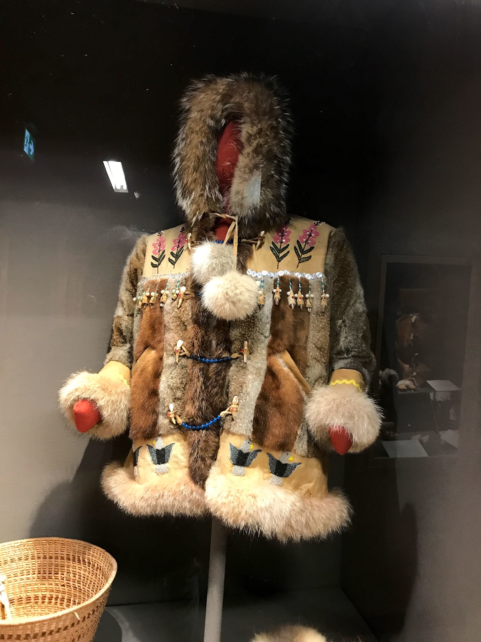
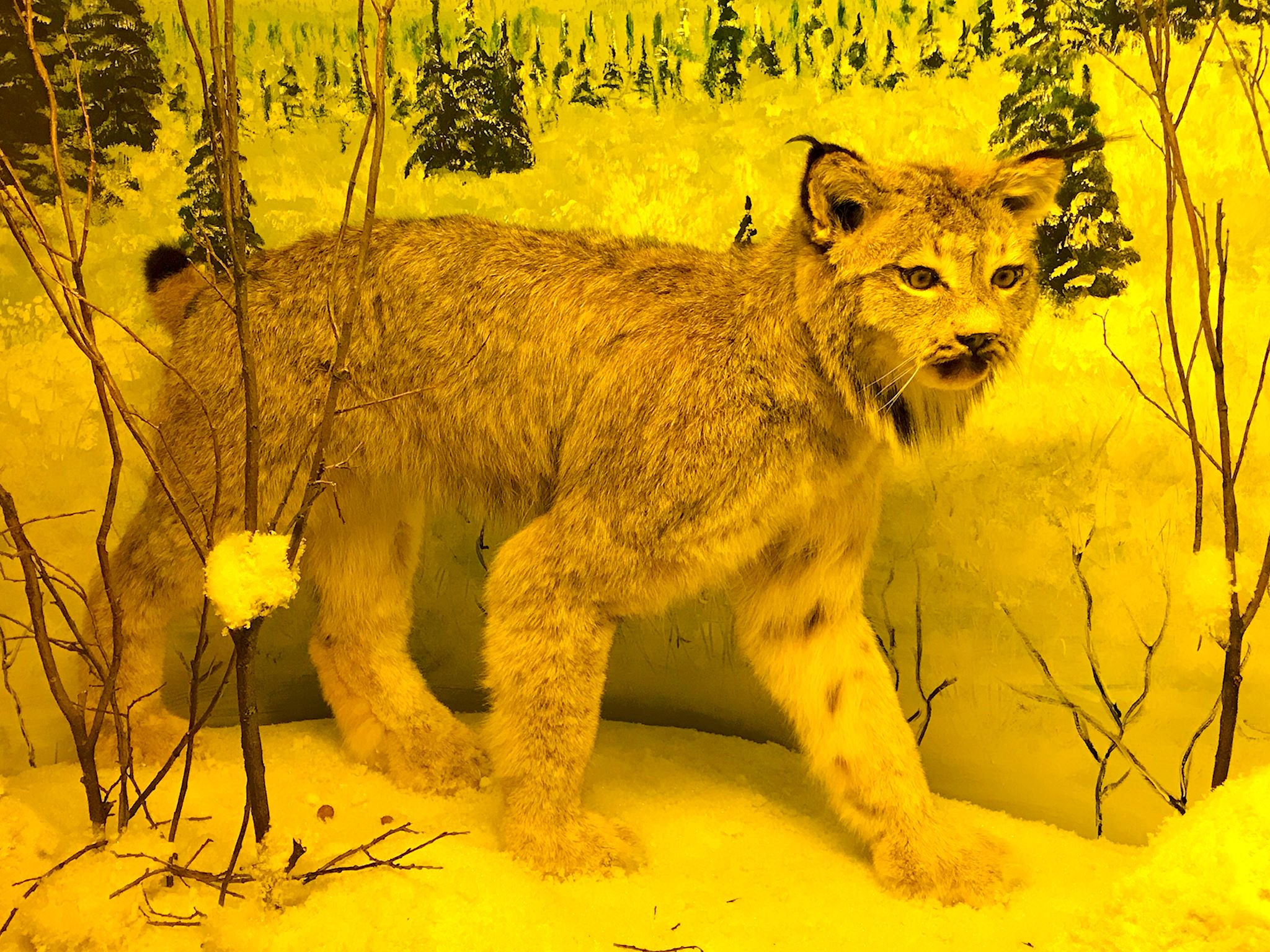

The Kluane Museum of History in Beaver Creek, YT, was also a fun stop featuring stuffed animals in dioramas – 3-D scenes with other stuffed animals, paintings and natural vegetation aimed at showing off their nature in nature! Their Kluane First Nation exhibits highlighted the artistic nature of this community. They are particularly fond of intricately designed and detailed clothing. The collection of decorated winter parkas was impressive – our opinions likely influenced somewhat by the weather!
Tok (which rhymes with poke), AK, is a must-see town. In fact, it’s hard to avoid it. If you’re entering or leaving Alaska by roadway, literally all roads go through Tok. As a result, it’s a busy provisioning town. We’re traveling through about a month before the busy RV season starts. (Side note – we heard an ‘early’ caravan of 60 RVs traveling together was due to arrive in about a week…) This town was already bustling! We’ll likely be driving through again in August and it’ll be interesting to see what it’s like then.
Now that we’re actually in the interior, and ‘getting to Alaska’ is behind us, we’re ready to tackle that list of things to do and places to see…
For anyone who’s interested, more pix from Kluane Lake, Kluane Museum, near Beaver Creek, Tok , near Delta Junction, at the Delta Junction milepost, and Sullivan Roadhouse
Congrats on getting to the milestone, mile post…, amazing pics, it’s hard to imagine that it’s really that undeveloped. So is that skeeter actual size? Have fun! M&P
Thanks! Yup, lots of open land up north.
It’s stuffed, so must be actual size…
Hope you’re enjoying summer!