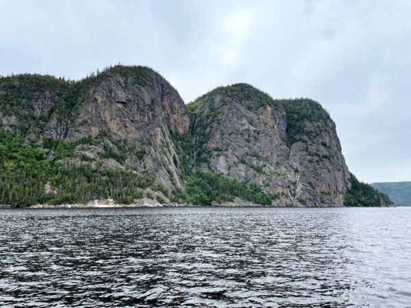
Saguenay Fjord National Park spans both sides of the Saguenay River, providing educational programs and access to the famed escarpments and coves while protecting and managing the natural beauty of the area. At 100 km/60 miles in length, Saguenay Fjord is one of the largest fjords in the world. Its width ranges between 2 and 4 km/1.2 and 2.5 miles. The deepest point is 270 m/890 feet while the escarpments rise over 300 m/1,100 ft above the Saguenay River. The tallest of these at 411 m/1,348 feet is Cap Trinité/Trinity Cap, with its 3-plateau rock wall, at the edge of Baie Éternité/Eternity Bay.
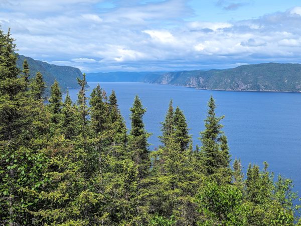
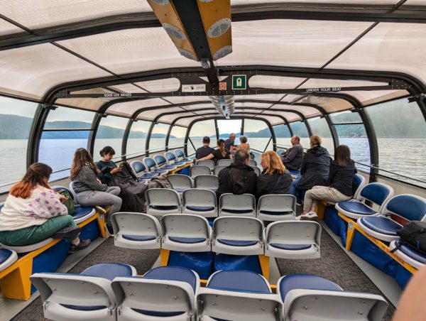
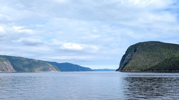
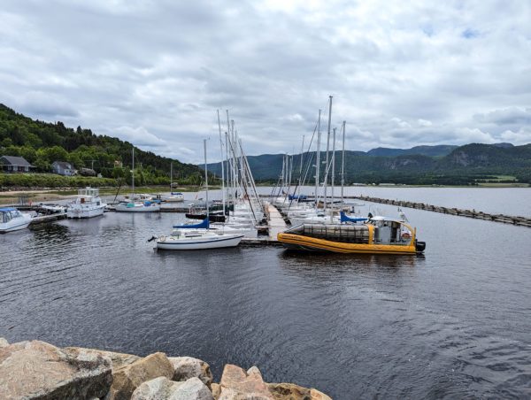
Normally, we’d be hiking to the tallest of the escarpments, looking for the best views. Unfortunately, I’m sidelined with ankle tendinitis and we had to find temporary alternatives to hiking and biking. Not to worry! There is auto (and RV!) access to L’Anse de Tabatière/Tabatiere Cove with stunning views from the half-way point of the fjord. And Navette Maritimes offers water shuttles up and down the fjord with a narrated tour and fabulous fish eye views of the cliffs.
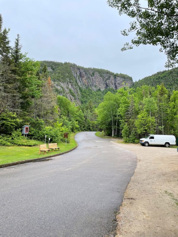
We found the area around the National Park to be uniquely beautiful. The Canadian Shield, a giant rock necklace around the Hudson Bay stretching from the Great Lakes to the Arctic Ocean, is the predominent geology of the Côte Nord/North Shore of the St Lawrence River. When glaciers passed through the region, they carved out the soil, leaving behind behind narrow valleys and the characteristic Canadian shield blobs of rounded rocks and exposed cliff faces. Think of an upside-down egg carton, with a road running through it – no flat spots, only changes in grade. Small communities sprung up in a few of the least graded areas.
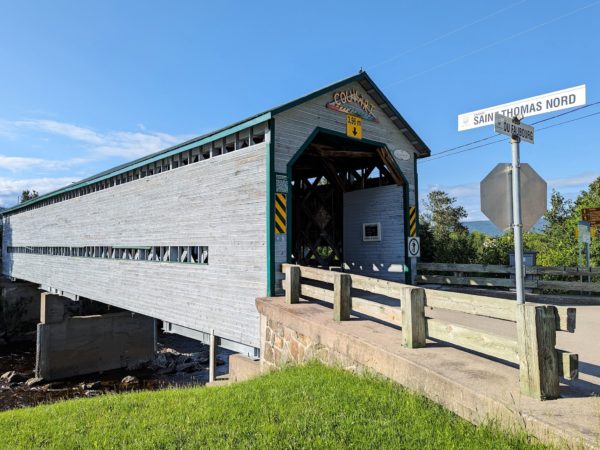
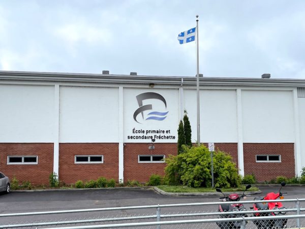
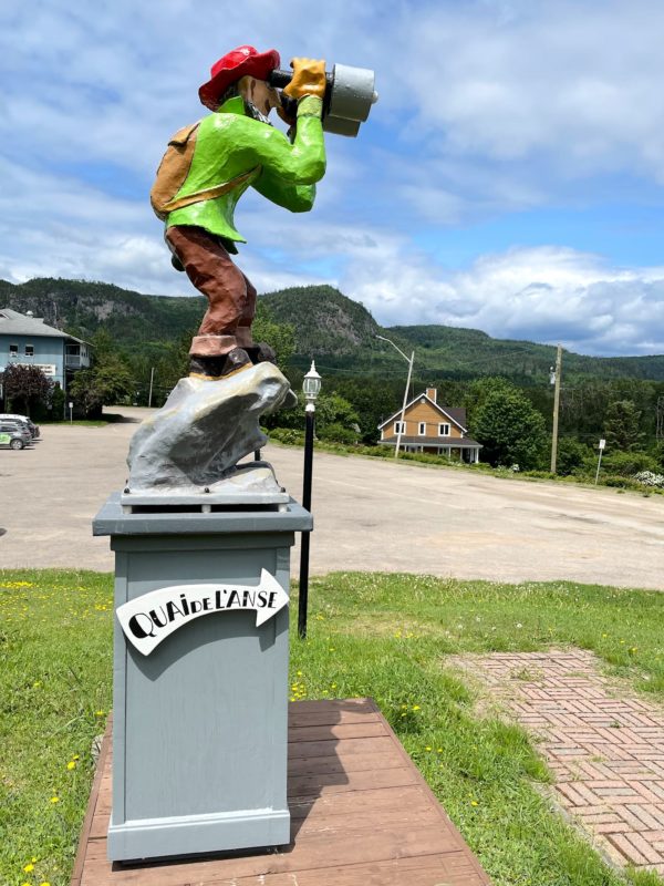
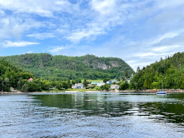
Just outside the National Park is the city of Saguenay/Chicoutimi (pop ~150,000) and the village of L’Anse St Jean (pop ~1200). My cousins Suzanne and Normand grew up in Chicoutimi, so we had to check it out. Normand was an art teacher and eventually taught at a school in L’Anse St Jean – at École primaire et secondaire Fréchette/Frechette elementary and high school, named after his father and my father’s uncle Orad. Our water shuttle ride launched from L’Anse St Jean. Imagine our grins when we disembarked and saw a kid in town walking down the street wearing an École Fréchette t-shirt!
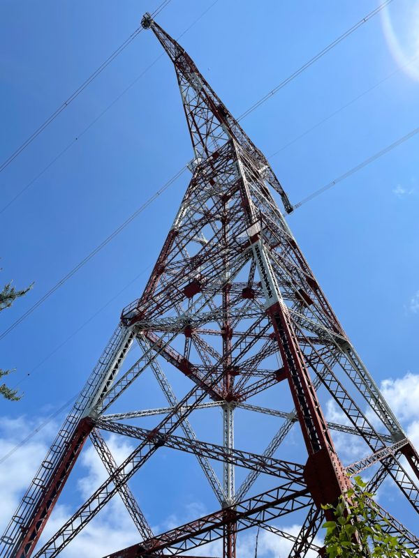
Power transmission lines are prevalent throughout this region. Hydro-Québec is the public utility that generates, distributes and manages electricity for all of Québec and much of the Northeastern US. It looks like we’ll be seeing the sources of this power generation in the not too distant future.
There’s so much more to see in this area! Although we’ve been on the road for a week and a half, we’re still within a day’s drive from home. We realize it would be easy to plan another shorter trip in the future to dig deeper and explore a bit more of this beautiful region of Québec. For now, we’re moving on…
For anyone who’s interested, more Saguenay Fjord National Park, family landmarks, and L’Anse St Jean pix.