
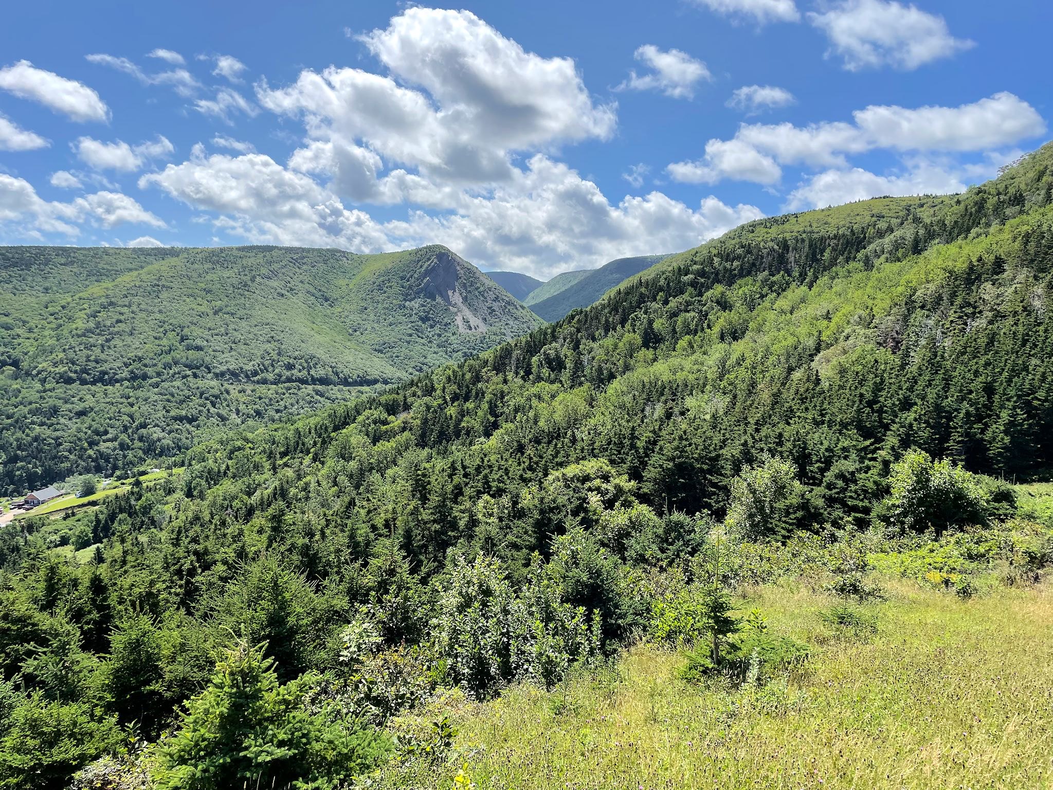
The Cape Breton Highlands comprise a tall, slightly rounded, mountainous plateau on the northeastern end of Nova Scotia. It was formed by the same collision of continents that created the unique mountains in Gros Morne National Park as well as the Appalachian Mountains, back in the really old days. Although not insanely tall at the highest point on White Hill (533 metres/1750 feet), the plateau drops dramatically from the edges – about 350 metres/1150 feet – to the ocean below.
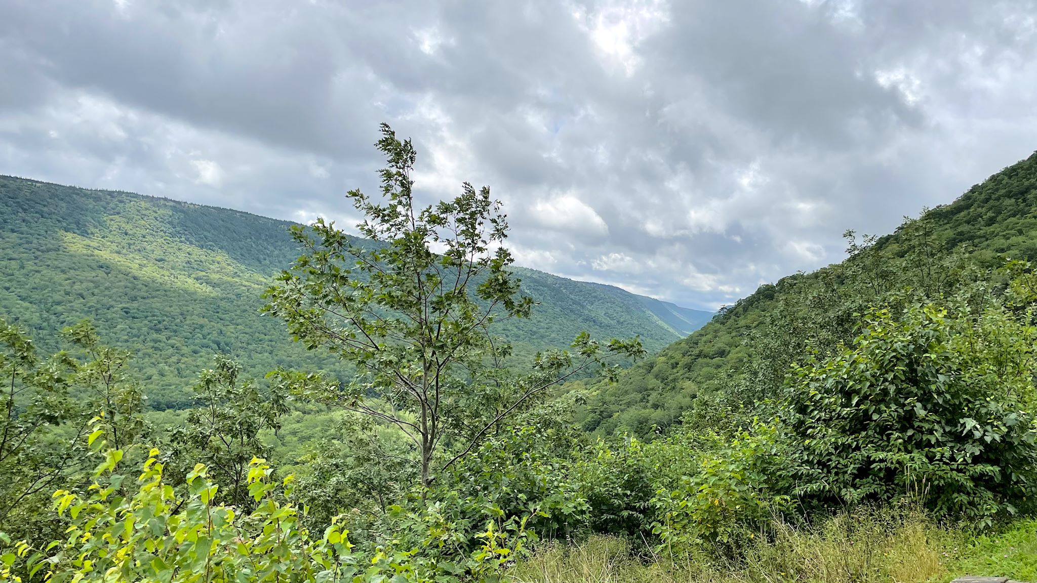
One of the most notable features in the park is the Aspy Fault where the crash of continents lifted a mountain range, leaving behind a 40 km/25 mile cleavage in the plateau where the Aspy River runs through it. In the not so old days (only 10,000 years ago), the glaciers carved out shoulders and valleys deep into the plateau, creating a number of microclimates that today host a broad variety of flora and fauna as well as a beautiful, hidden playground for outdoor enthusiasts such as ourselves.
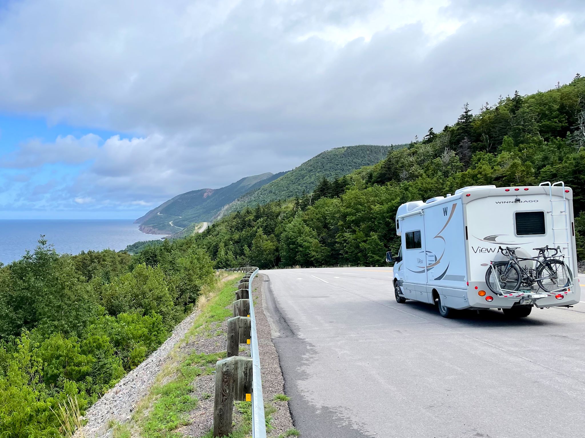
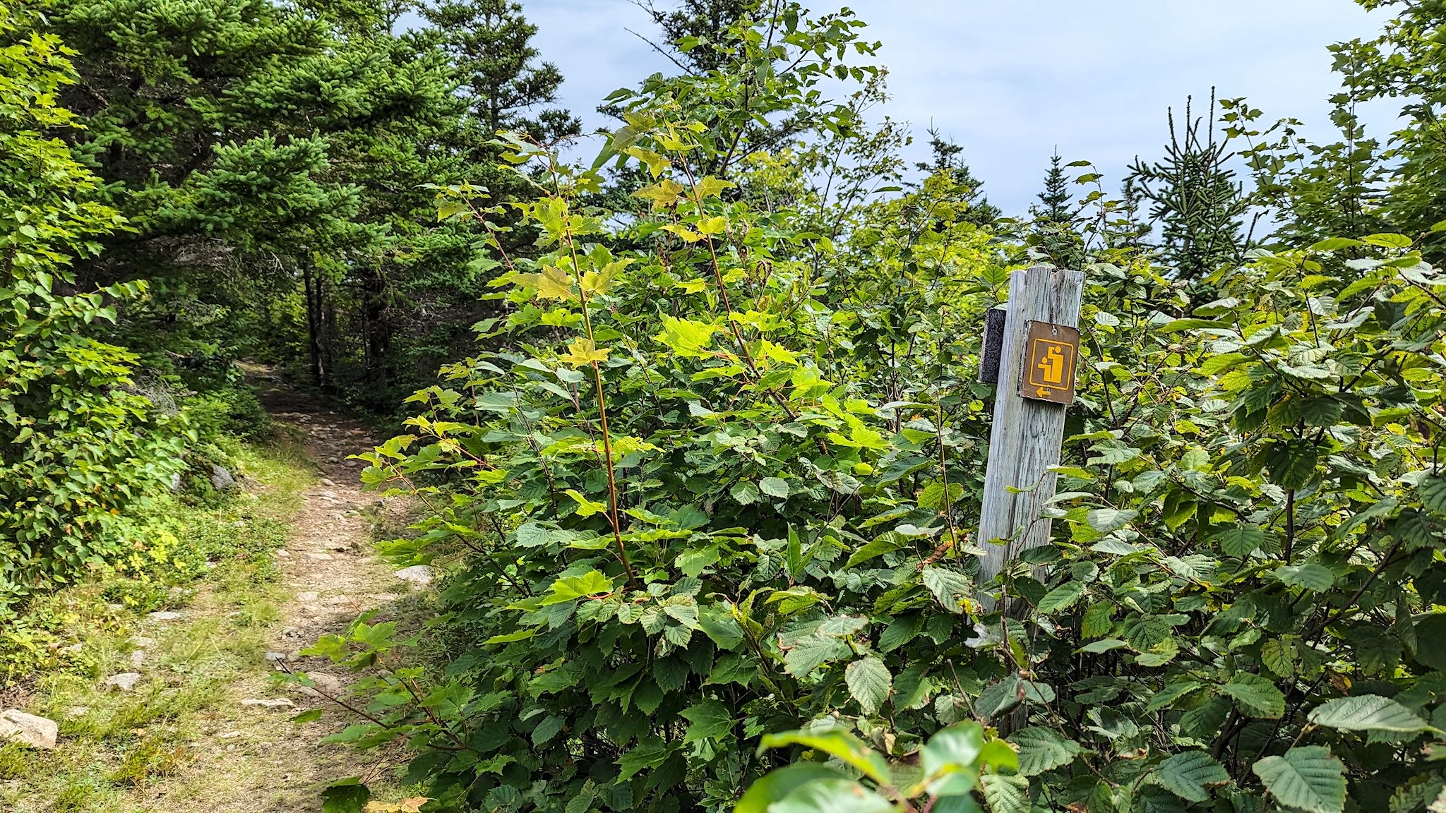
1932 saw the opening of the Cabot Trail, a 298 km/185 mile road that hugs the coast around the highlands, providing access to the beauty of this area. Since 1936, the Cape Breton Highlands National Park has managed the varied and unique ecosystems of the plateau and provided access to these via a well designed and maintained trail system. The Cabot Trail and the National Park are independent, yet nicely entangled, a symbiotic relationship that enhances the experience for any visitor.
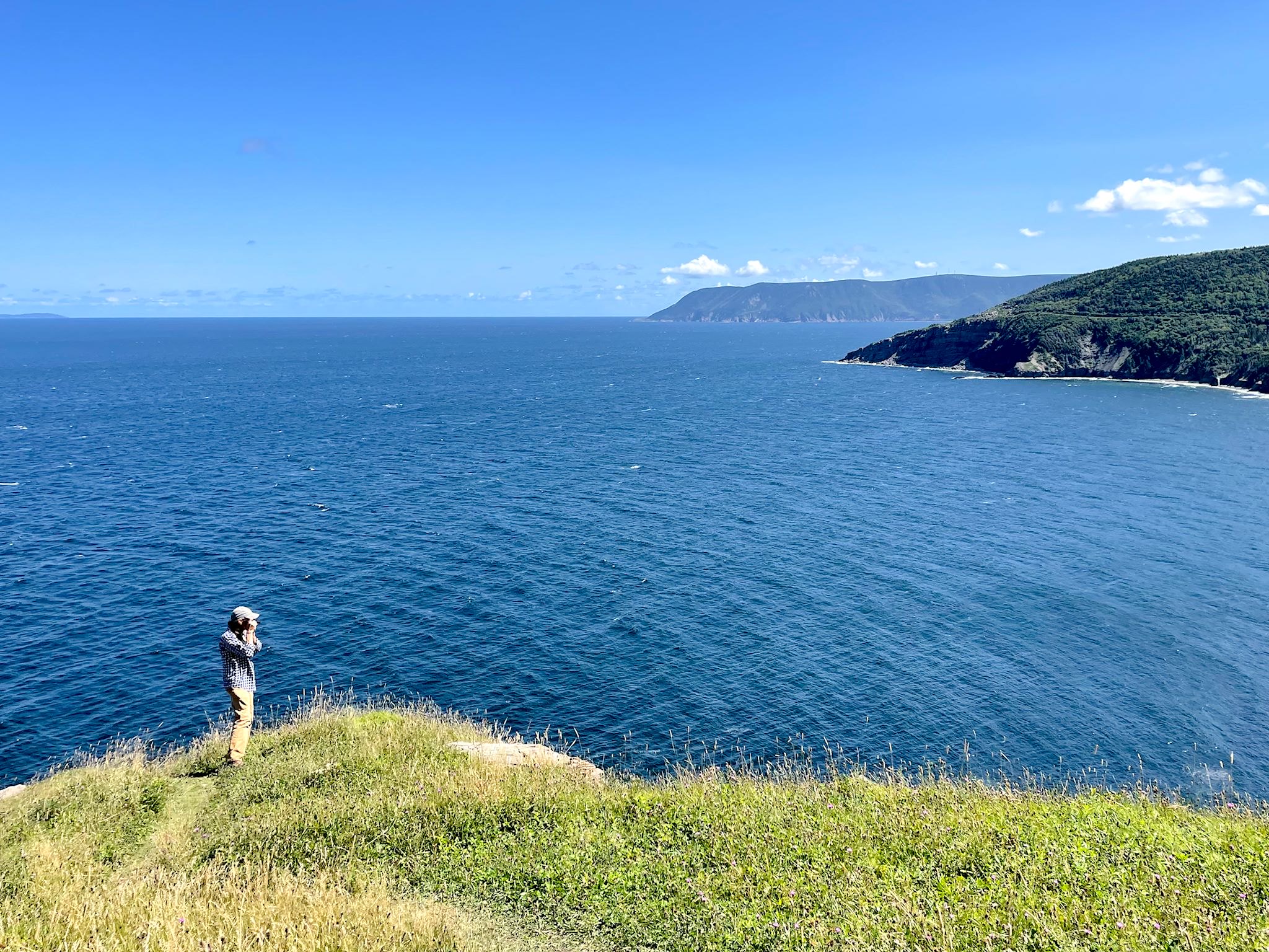
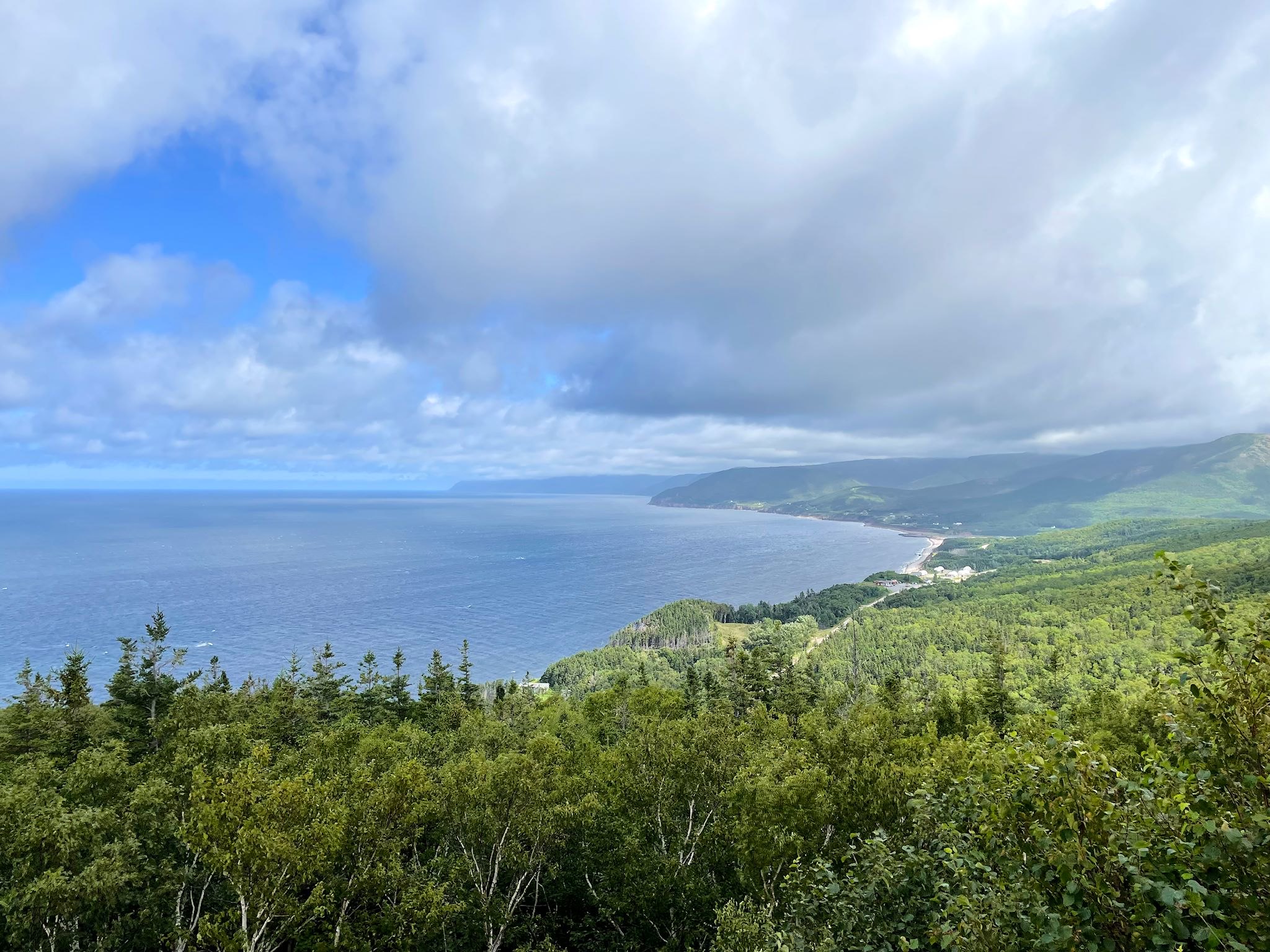
The trail and the park share an interesting split personality. The east side of the plateau descends gradually and gracefully to the Atlantic Ocean, while the west side drops suddenly and dramatically down sheer cliffs to the Gulf of St Lawrence. Accordingly, the road on the east rolls up the coast with moderate climbs along the shoulder of the plateau, in contrast to the tight, deep switchbacks and long stretches of road carved into the cliffs that make up the west side. Cultural influences of the original settlers of the area are equally obvious. Celtic/Gaelic road signs and businesses dot the east side while the Acadian/French dominate the west side. What they both have in common is views, views and more views of the bright green plateau against the bright blue sky/ocean/gulf. (On a clear day. Otherwise, it’s all grey.)
The East Side
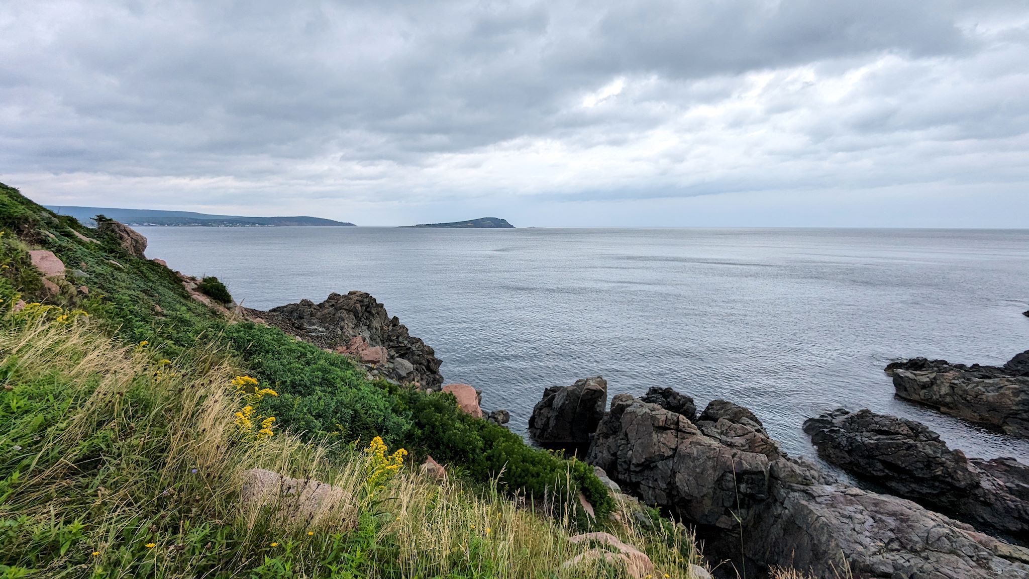

It rains quite a bit in this part of Nova Scotia, as evidenced by the bright green everywhere. In spite of the usual weather, we were able to get lots of awesome hiking time. With an ugly afternoon forecast, we set out early to hike Middle Head, a short hike on a small peninsula sticking out into the Atlantic. The peninsula is narrow, so the trail brought us up and down rocky cliffs on both sides with changing views of Ingonish’s North and South Bays, Ingonish Island and the prominent, red-tinged Cape Smokey. And yes, we managed to finish before the storm and then spent a delightful rainy afternoon playing music back at the campground.


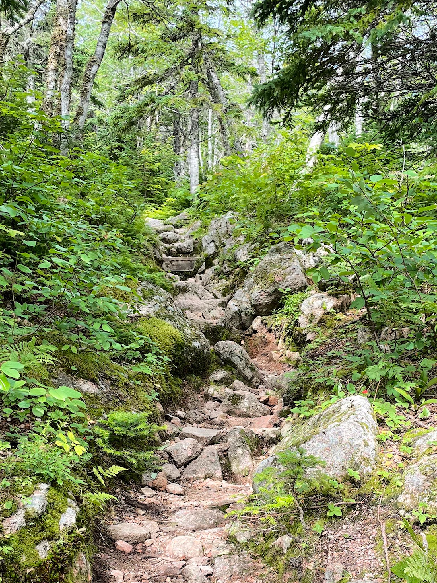


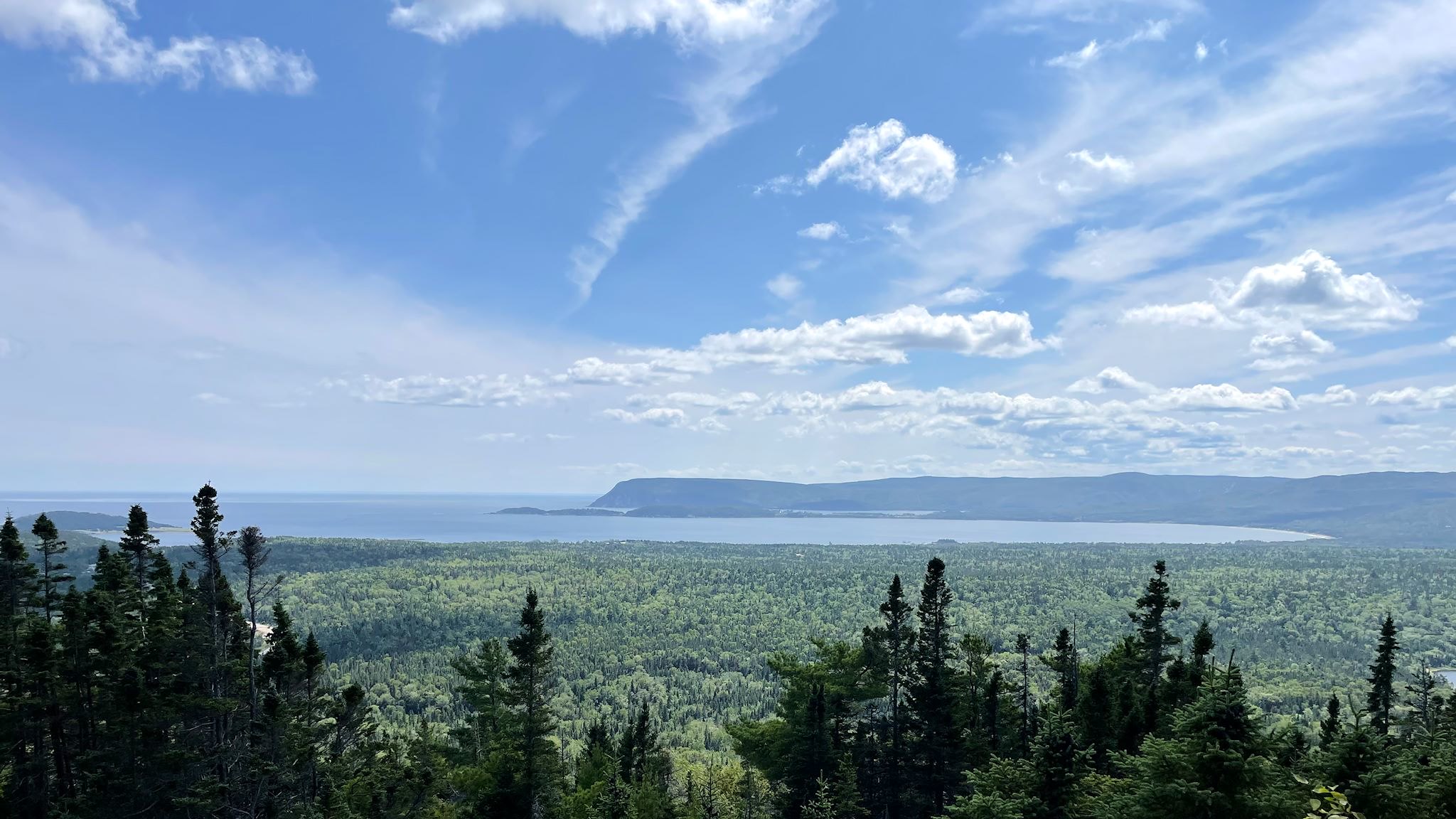
The next day, with a forecast for clearing weather, we took a chance on a slightly longer hike up to Franey look out. Here we found a rocky trail under the forest canopy that had held up well after the rain, a nice climb to a lookout with views of Clyburn Brook Canyon, the twin bays of Ingonish, and Middle Head (the peninsula we’d climbed the day before). As the weather continued to improve, and with lots of energy left, we added a short hike to Broad Cove Mountain. Short and steep, we saw views similar to those from Franey lookout from a slightly different vantage point, and with a beautiful blue sky!
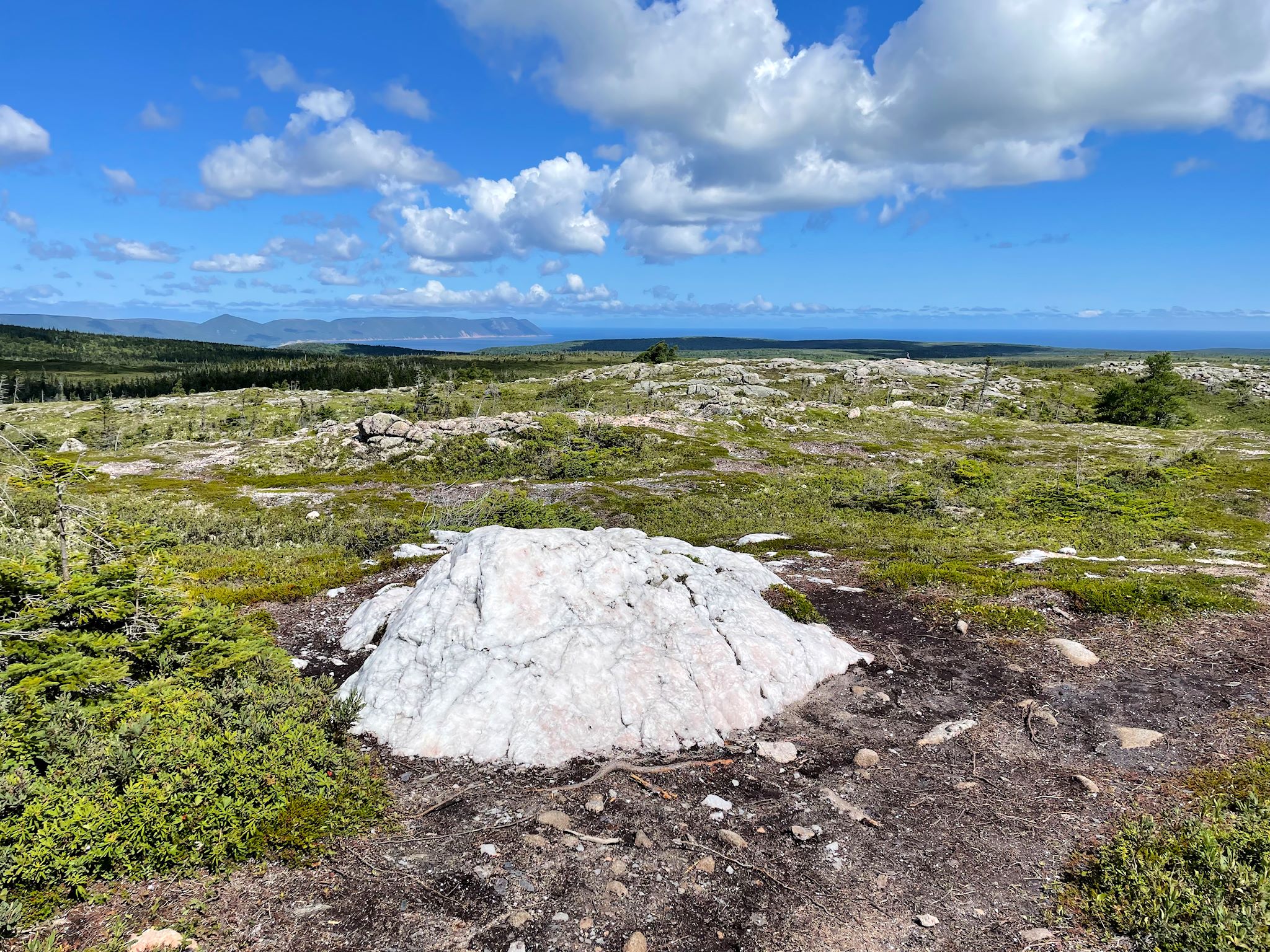
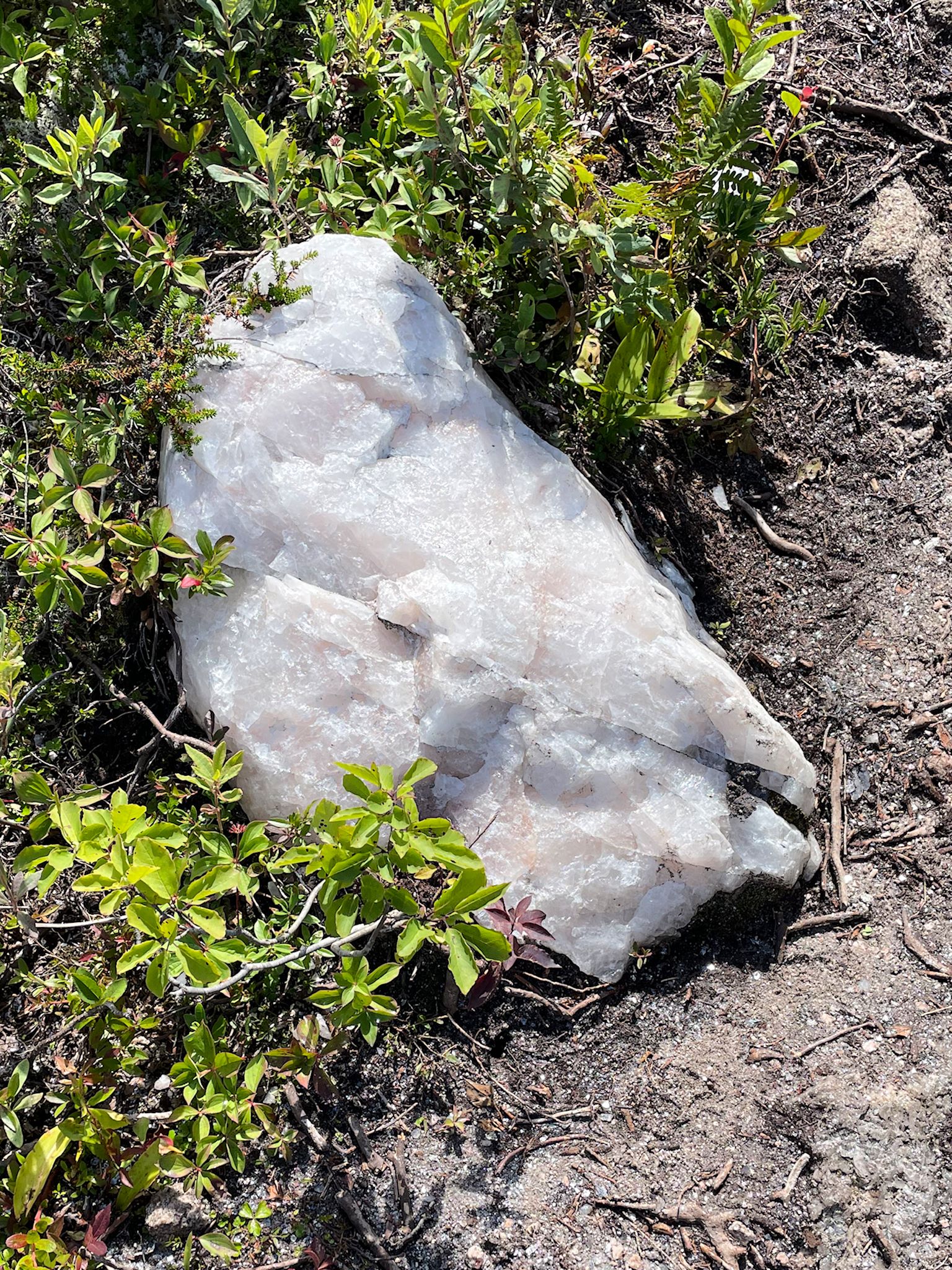
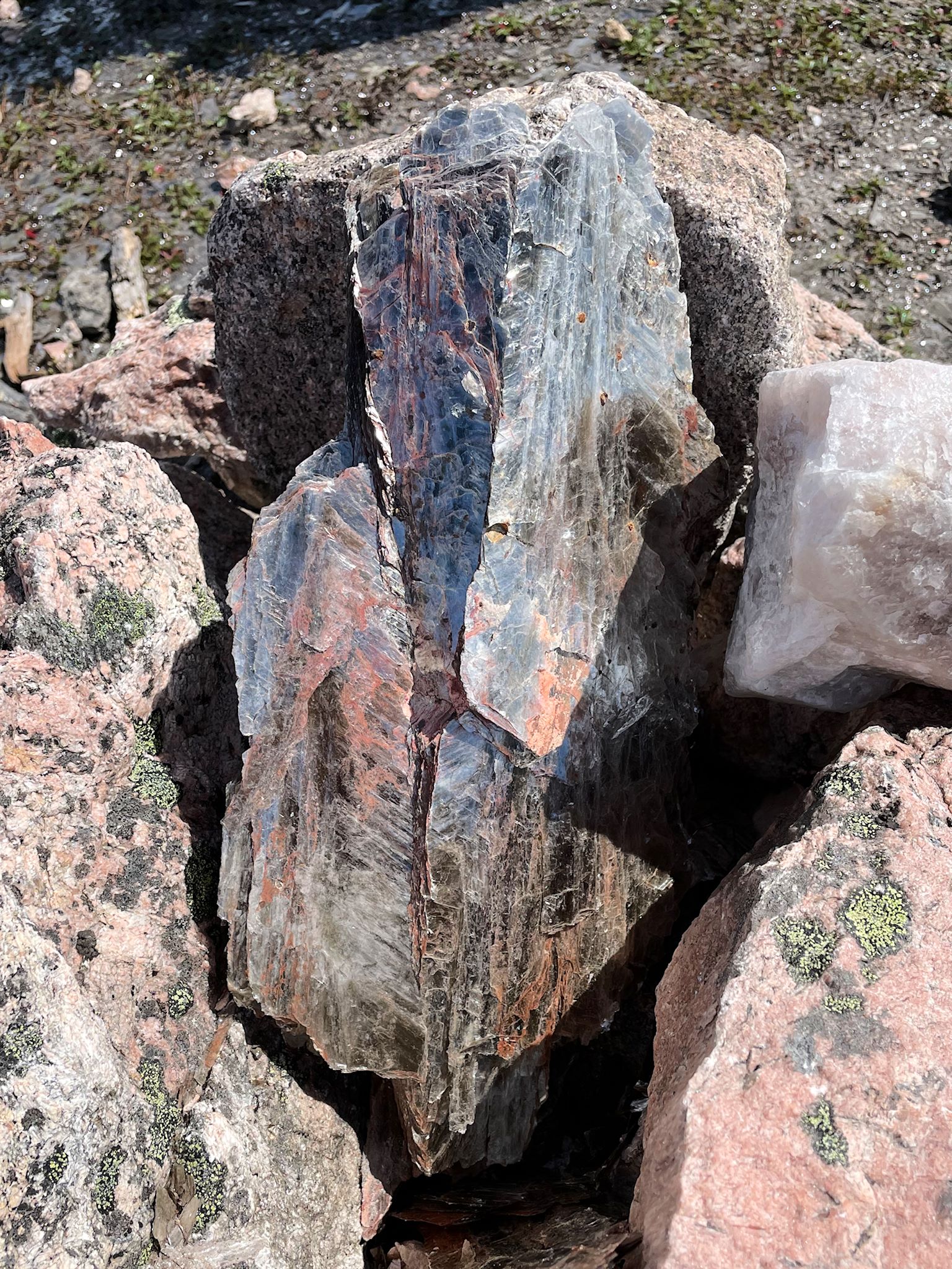
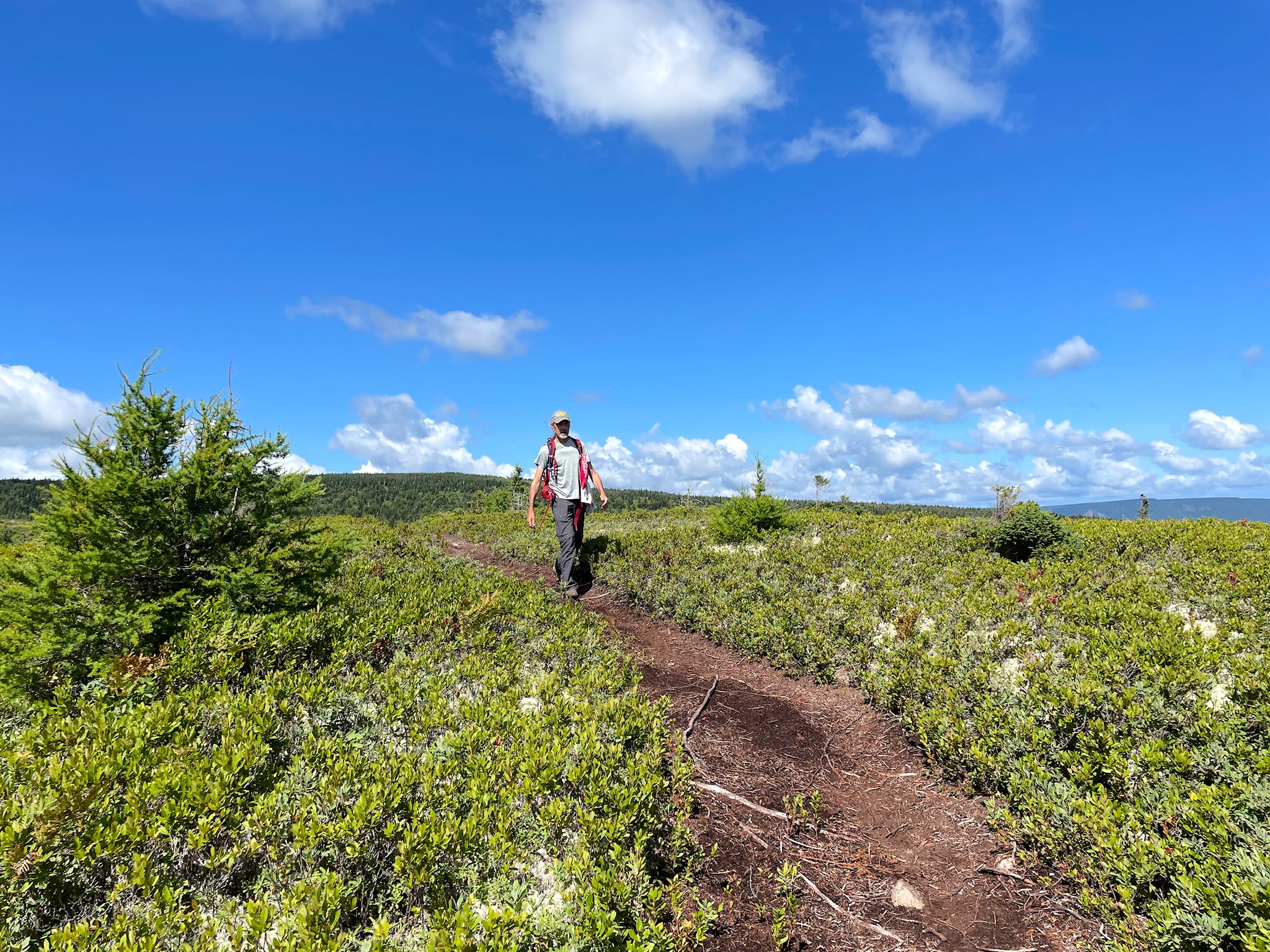
And then there was one of those days – the ones with the mostly blue sky and big puffy, friendly clouds… We decided this was the day to hike the Mica Hill Trail. This trail started through the forest and very quickly popped out into an open taiga with mostly knee high vegetation. We enjoyed long views the whole time we were hiking, including overlooking the village of Cape North, Aspy Bay and the instantly recognizable, pyramidal-shaped Sugarloaf mountain on the north horizon. A series of stairways and scrambles over steep rocks brought us to an outcropping geologically different from anything around us. This mini-peak was mostly bright white quartz and mica sparkling in the sun – where are my shades!?! And it was a joy to cross the open taiga again back to the trailhead in the lovely sunshine.

Our friends George and Lynell strongly recommended that we visit Meat Cove. Though they didn’t really tell us why, or much about it at all, we went ahead and followed their advice anyway, and we’re delighted that we did! We found an oddly named small community at the end of a narrow, winding, precarious dirt road that brought us to the northernmost point on Cape Breton.
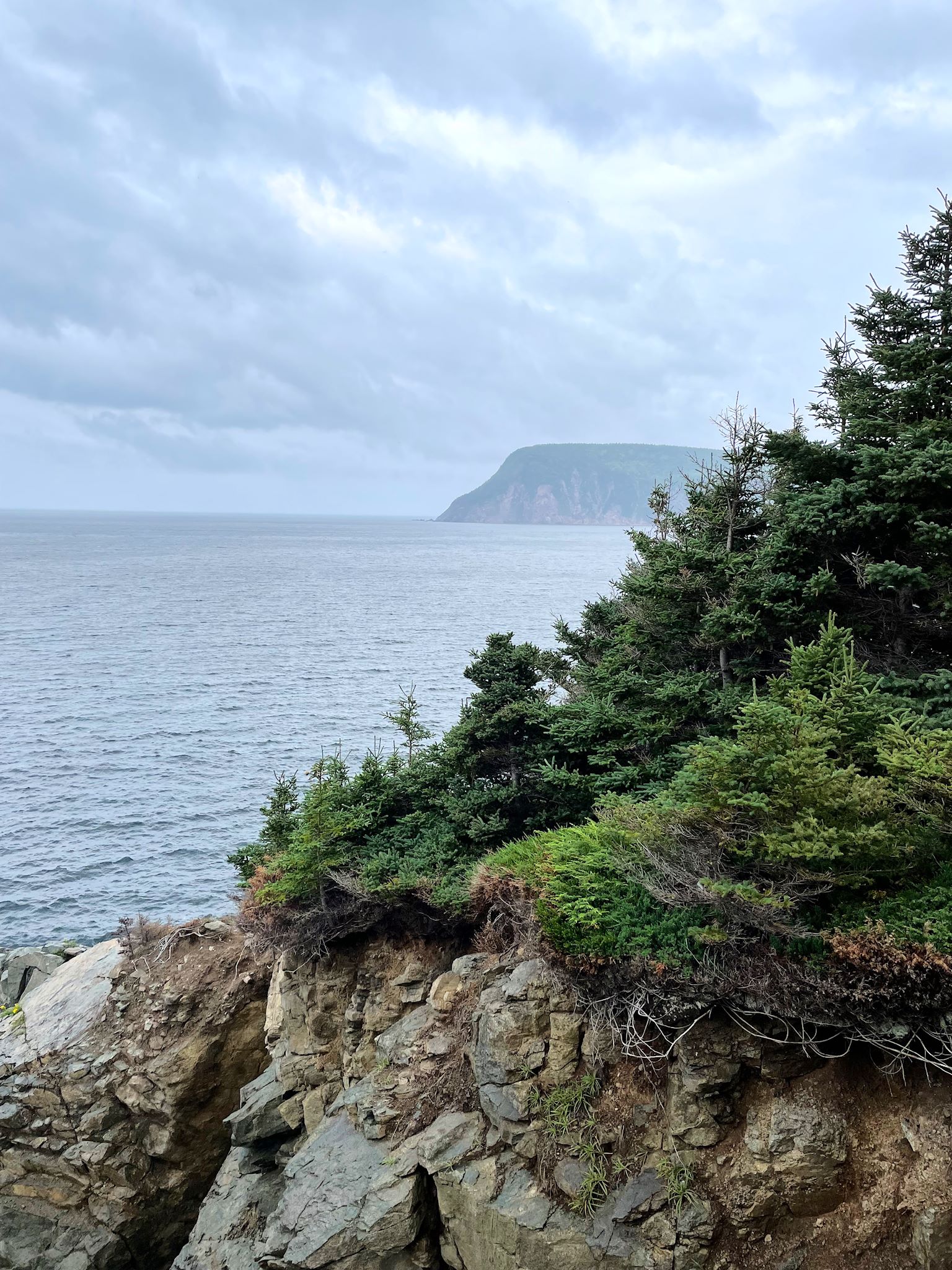
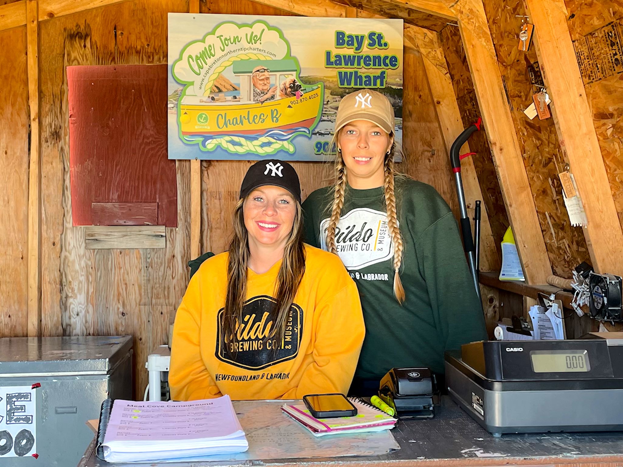
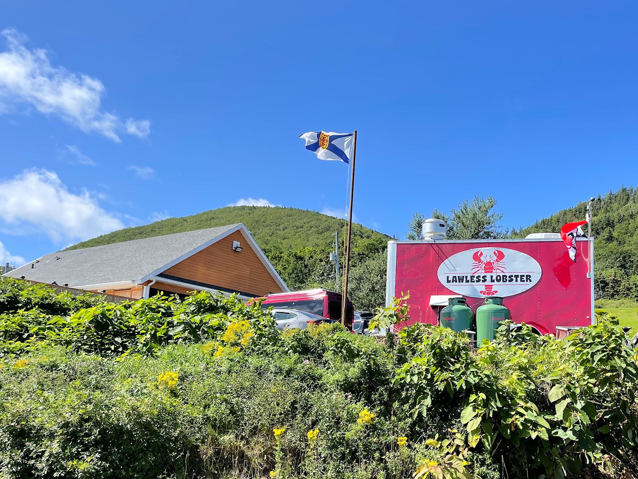
Our first stop was at the commercial center of town – the combo Meat Cove Campground registration and kayak rental shed that shares a parking lot with the Lawless Lobster food truck. Here, we were greeted by the folks who run things, including 2 sisters both wearing Dildo Brewing Company sweatshirts and New York Yankees baseballs caps. I asked if they were Yankee fans. No, they just liked the hats. I didn’t need to ask about the sweatshirts. At their suggestion, though, we hiked to the Meat Cove overlook. This lookout was so amazing, I even heard Doug squeal. The views really were dramatic. Doug says: That was magical. Thanks George and Lynell!
Interlude


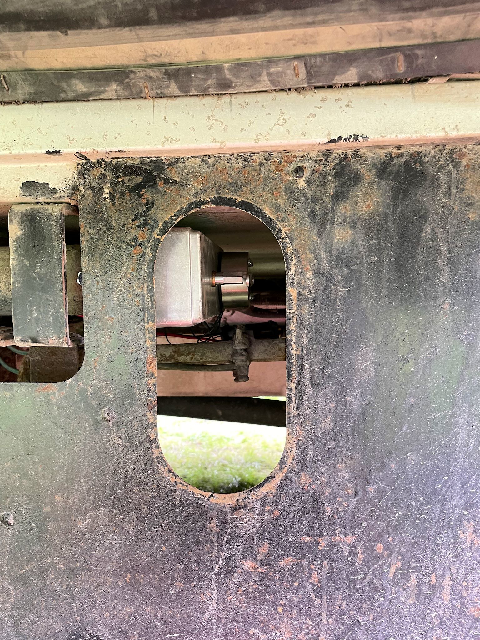
We interrupt this National Park post with a summary of the slide saga, a hitherto untold story which now includes a happy ending. First of all, what is the slide? Well, many RV trailers and motor homes (including ours) are designed with a wall (or a portion thereof) that slides out of the main body to expand the space on the inside. The effect is kind of like those tents in that Harry Potter movie. For us, that’s enough room to set up instruments and play music together inside.
Our slide motor drive assembly failed suddenly back in Fogo, so we’ve been climbing under the motor home with a wrench to move the slide in and out by hand. Rather a pain in the @**, especially if it’s raining. We found an RV repair place in St John’s that helped us figure out what was wrong, but the parts were only available from the US and their supplier would take 2 weeks to get to Canada, or maybe 4, plus time to clear customs. We needed to make our ferry reservations about 3 weeks in advance to leave Newfoundland, and this uncertainty was making it impossible to plan that…
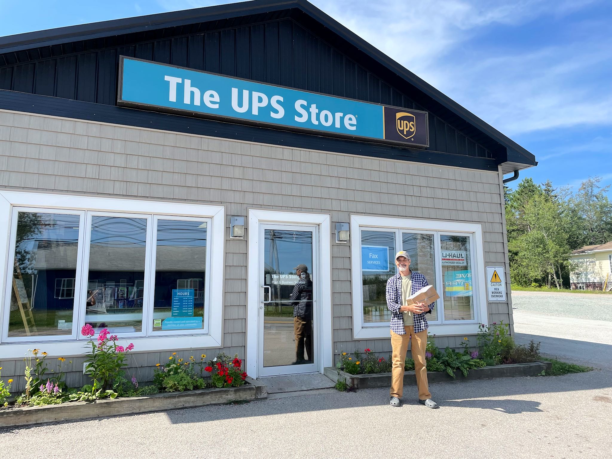
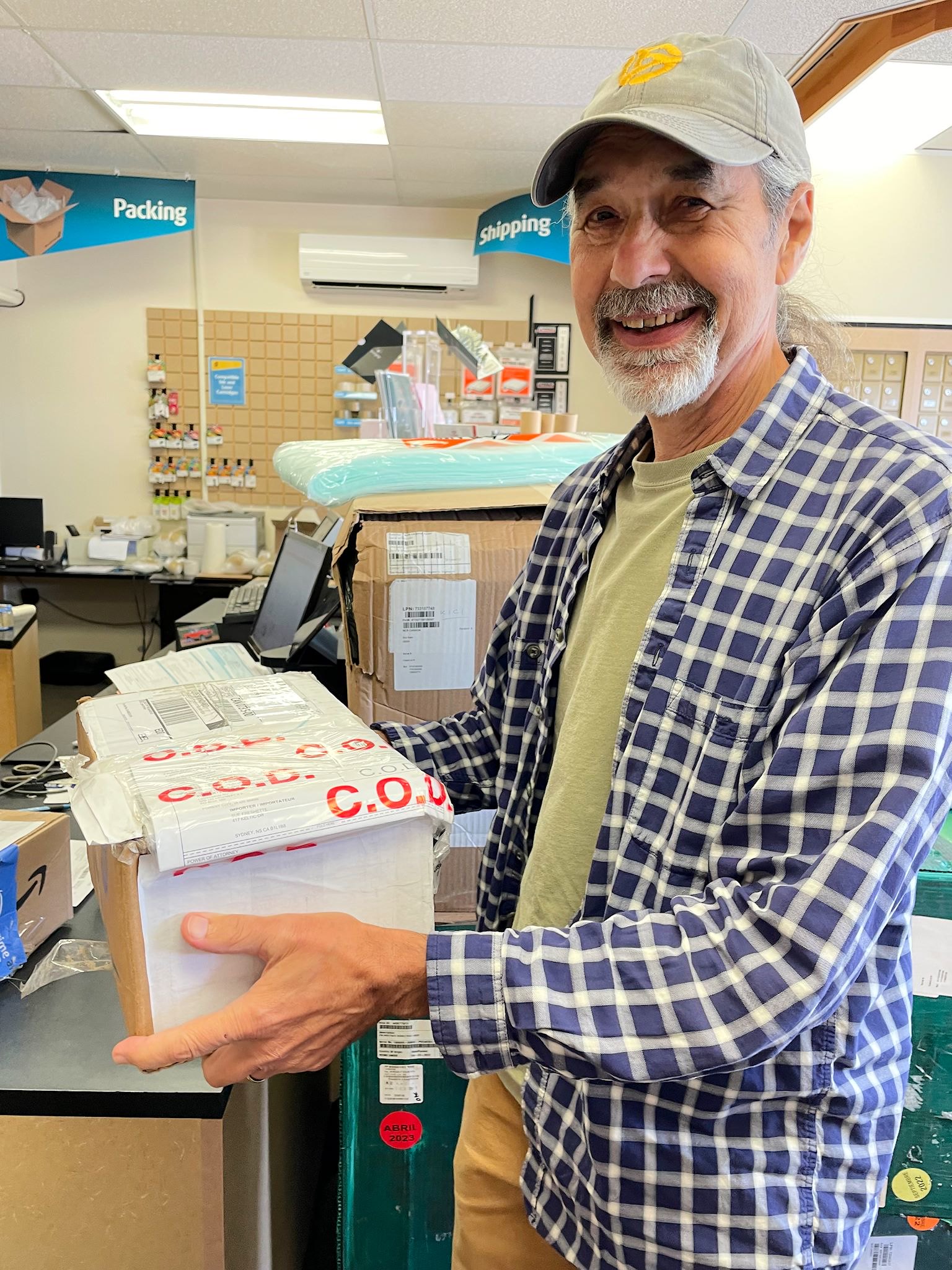
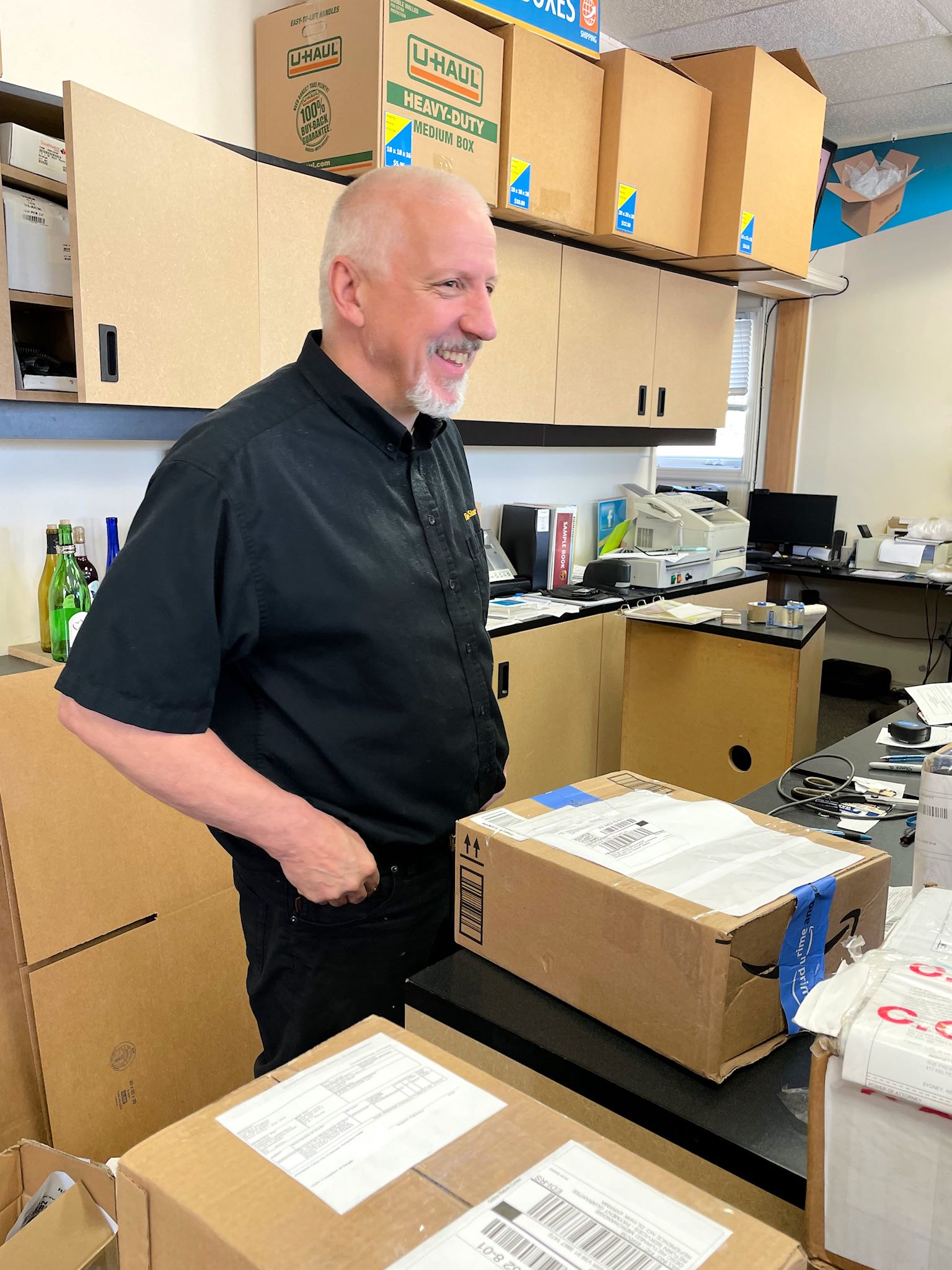
We found a Winnebago dealer in the US who had the part in stock and would ship it directly to us. Shipping time would be 2-3 weeks. We had the ferry to catch in 3… We could do this if we could find a place to ship the package to in Nova Scotia, and we could pick it up after we arrived there. If things went awry, well, at least we and the package would be on the same side of the Cabot Straight and thereby easier to reconnect. We found a UPS Store in Sydney, NS, not too far from the ferry terminal in North Sydney, and we talked with Bill who runs the store. We made arrangements with Bill to receive the package for us and ordered the part. It shipped. UPS tracking said it would arrive a couple of days before we did. Perfect! Except…
We tracked the package from Iowa, through Ohio, to Plattsburgh, then to Montreal, then… it stopped. Somewhat cryptic messages on the UPS website indicated it was in a queue awaiting release from customs. This usually takes minutes or hours, but it could take a couple of days (as ours already had) or more (that was ominous) and there was a weekend in the middle, so we arrived in North Sydney, disembarked the ferry, and went about our East Side adventures as described above. Eventually, we got a notice from Customs that they needed more information about the shipment before they could release the package, so we arranged for that. Then we prepaid the customs fees. Finally, another couple of days later, we got a message that the package was delivered, which Bill confirmed. Yes! That was the day before we were changing camps within the park from the east side to the west. Since we needed to pack up and drive anyway, it was relatively easy to to head south to Sydney, pick up the package, then return to the new campground on the other side of the park. After 4 weeks of waiting, we had the part in hand. Doug installed the slide motor in about 10 minutes, and it worked!!! And we partied:
The West Side


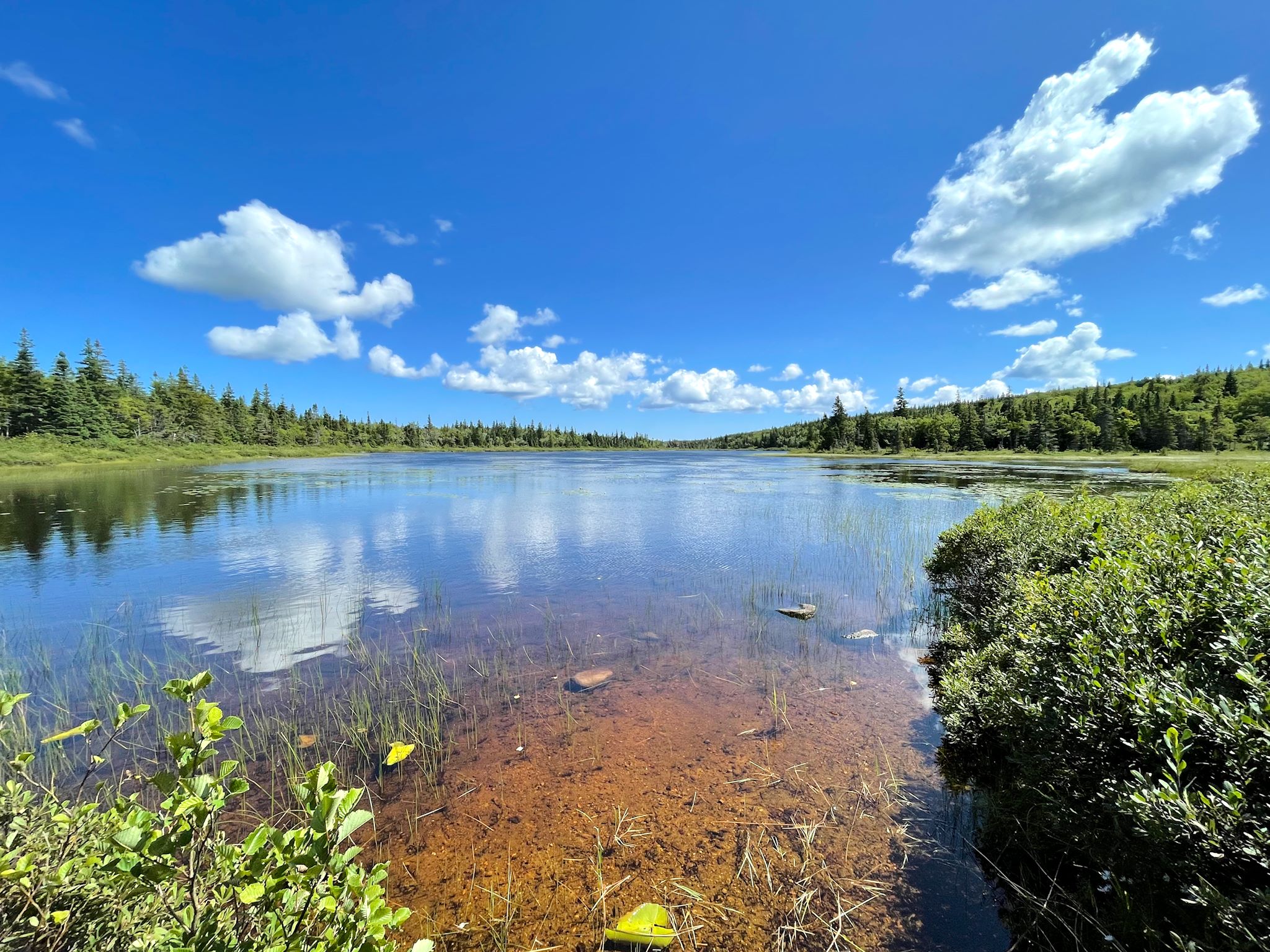
With another forecast for 2 days of rain, we looked at our options. We also looked out the window. It was early in the morning, but it wasn’t raining. Yet. So we threw our rainjackets in the pack and ran out to do the Salmon Pool hike, a relatively short, flat hike along the Cheticamp River that left from the campground. We didn’t find salmon, however we enjoyed the walk and the rapids along the river, talking to a fisherman from Vermont who’d caught some trout, and exploring an old camp alongside the trail. We made it back to camp in good weather. Then we settled in to wait out the rain, catch up on a few things and practice some music.


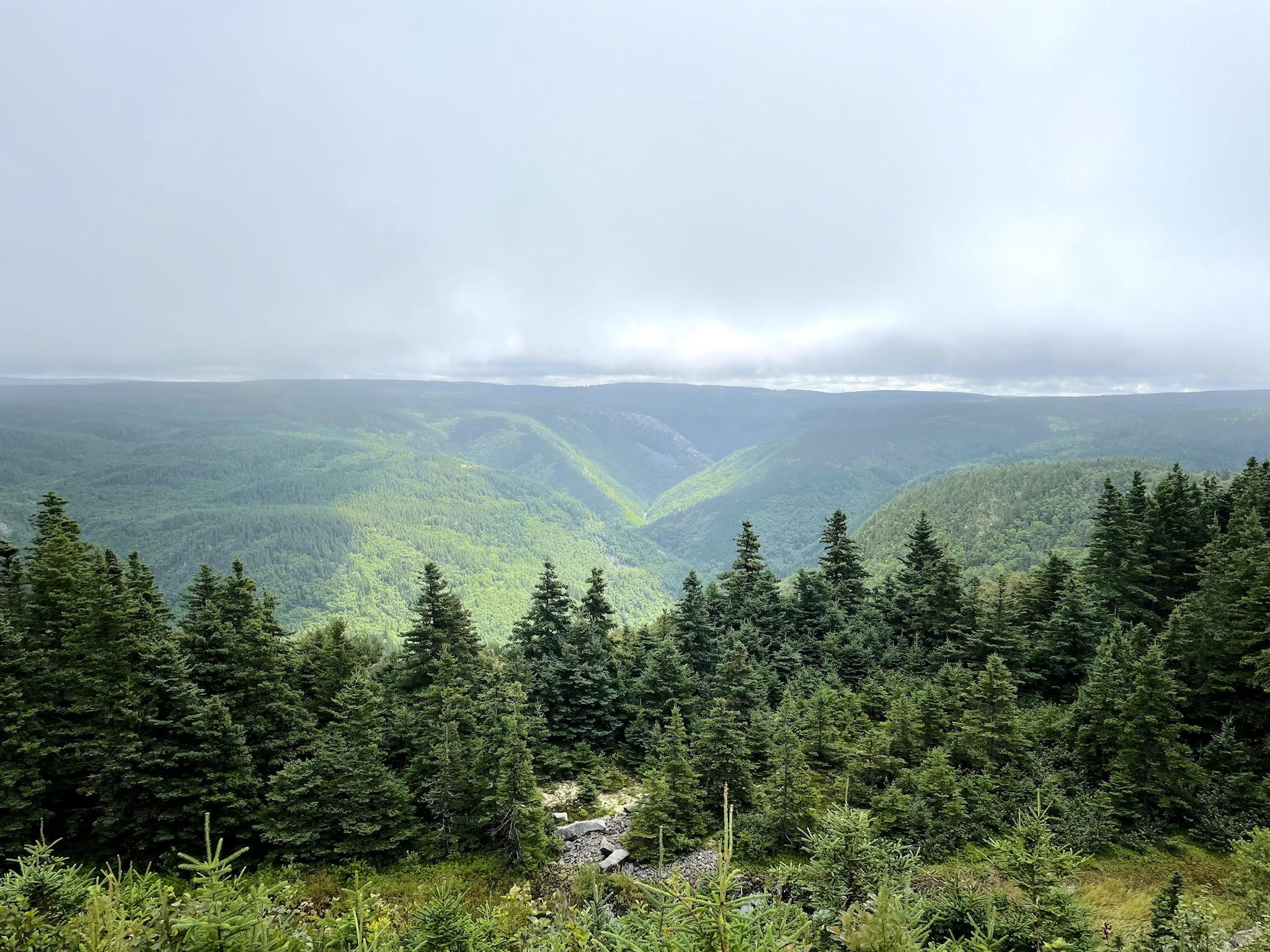
shoulder of the hanging valley
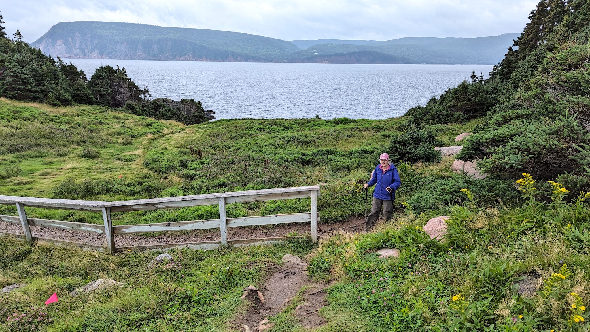
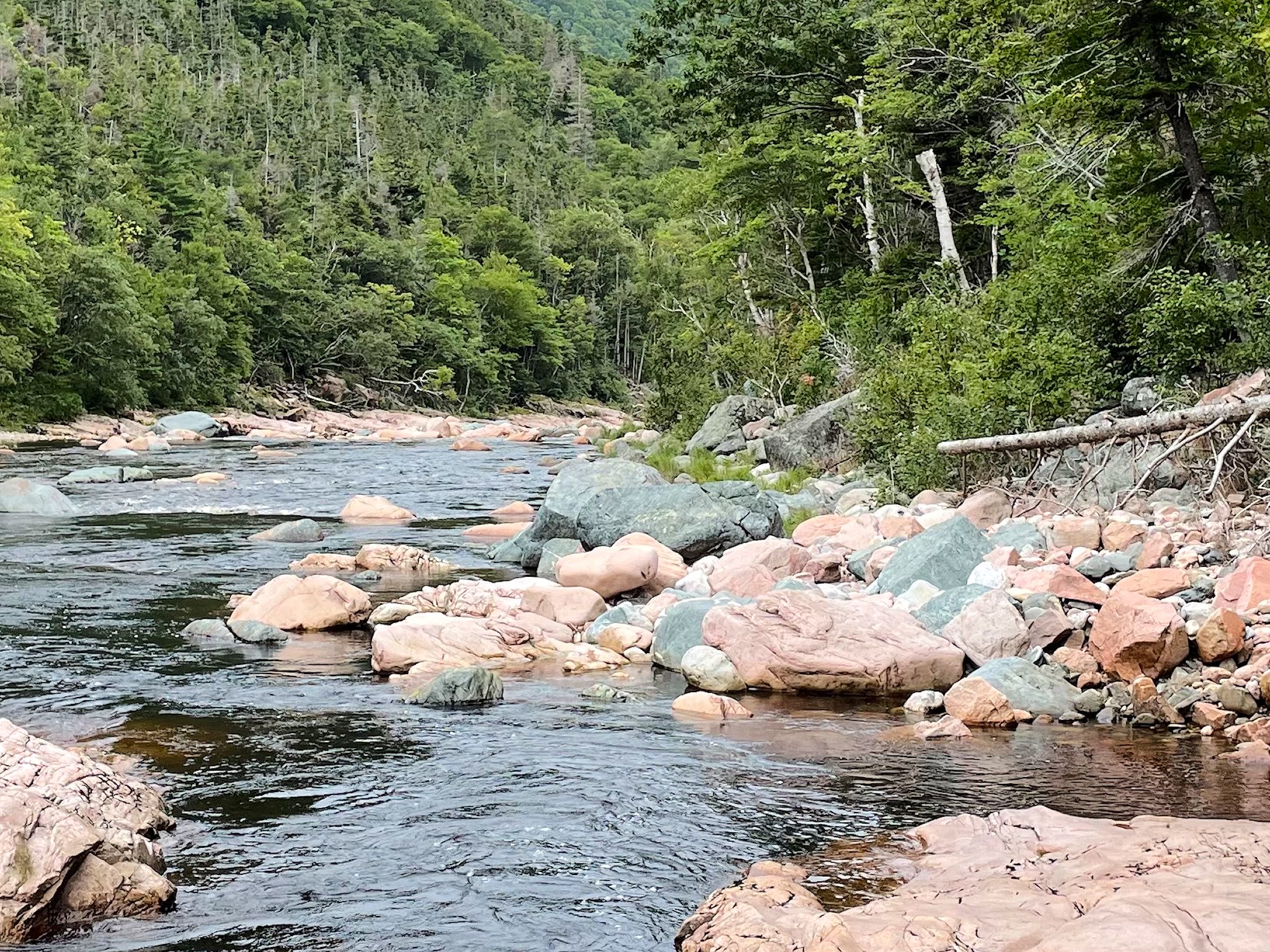
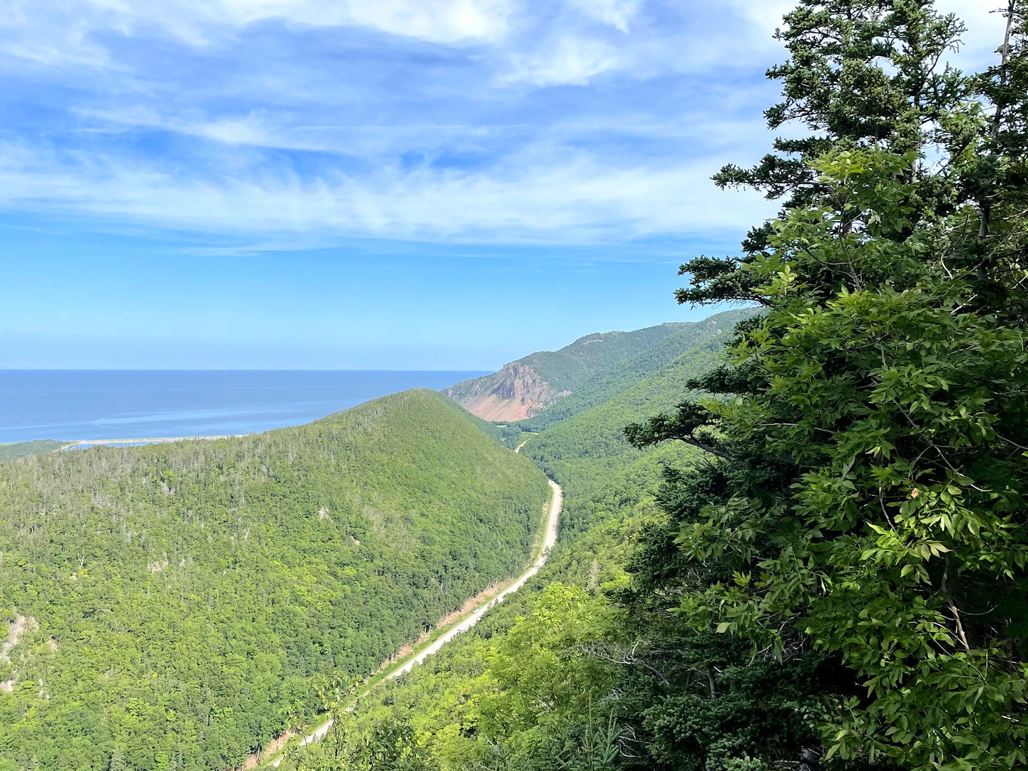
The forecast the next day was for early clouds and clearing weather. We’d hike the Aspy trail – a longer hike along the Aspy River with views of the Aspy Fault and maybe a waterfall. We headed out early in the day, following the western half of the Cabot Trail to the Aspy trailhead. Through lingering fog and low clouds we caught some stunning views from the road of the terrain we were about to hike. Of the many viewpoint pullouts along the road, the Aspy look-off provided a view looking up the Aspy Fault and into a hanging valley along its side stood out.
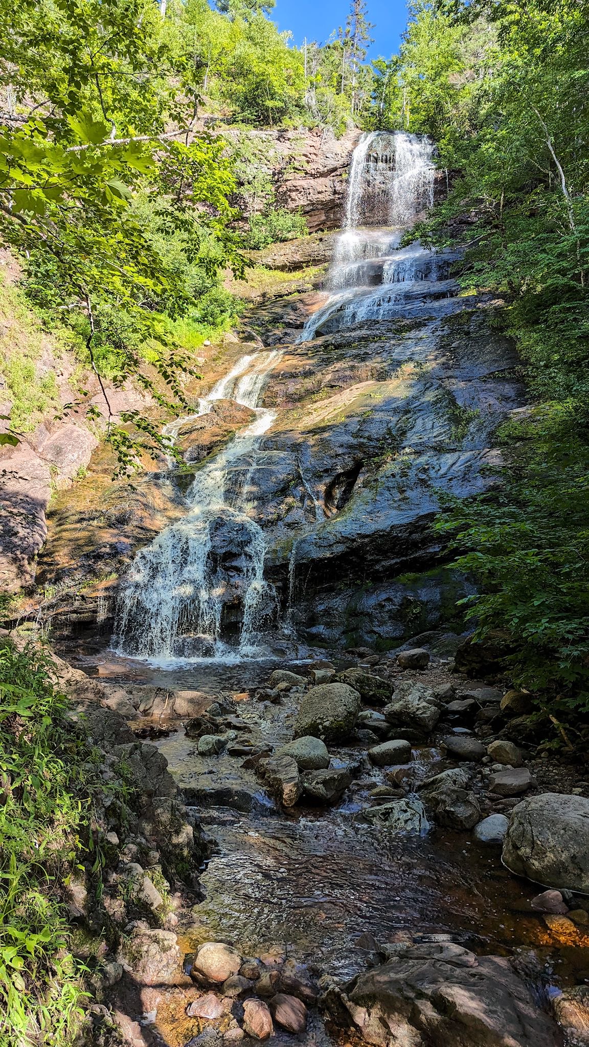
The Aspy trail was a delightful walk along the river. We found the waterfall and then, with a bit of a climb, a second one! And the Red Chair. We’ve grown accustomed to Parks Canada Red Chairs at significant view points, often at the end of trails. This trail continued past the red chair, and, since the blue sky and friendly clouds were out again, so did we. We climbed to a shoulder on the ridge with waist high vegetation, an ‘end’ sign, and a friendly older gentleman (about Doug’s age ;-)) drinking a beer. I looked around and holy crap! We’re on the edge of the hanging valley we saw from the road! This was surely a hike that underpromised and overdelivered!

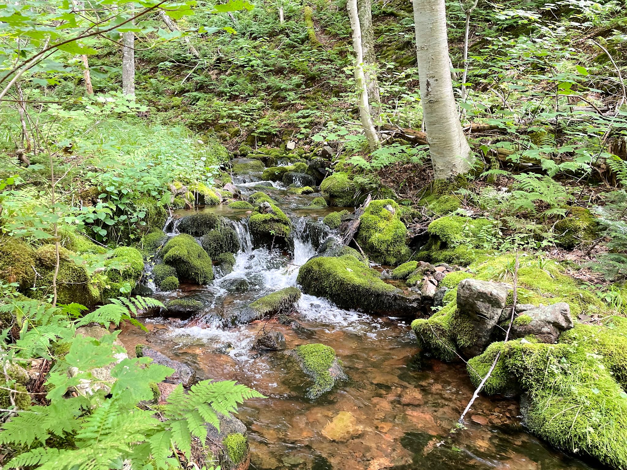

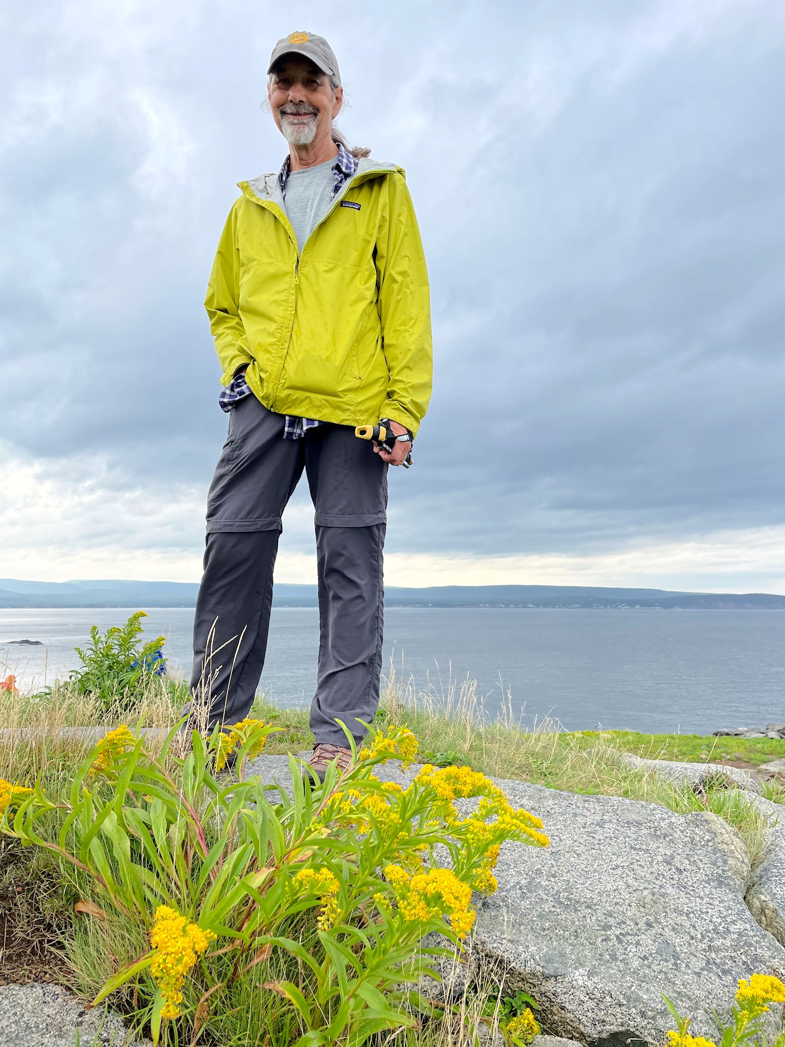
Considering an expected a sunny day, we extended our stay in the park so we could hike the Acadian trail. The trail started feet away from our campsite, so no morning drive to the trailhead, and the description boasted of ocean and mountain views. The trail gained elevation rather quickly (translation: steep) and led us to a handful of side trails with clearings and pretty views of the town of Cheticamp, Cheticamp Island, and the Gulf of St Lawrence. Higher on up along the Acadian ridge, views opened up to the Gulf and the highlands to the north, east and south. Once past the lookouts, the trail looped back and started the descent back to camp along the river. Did we mention it rains alot here… So much moss and ferns and greenery along the way. After this and so many other satisfying hikes, it was finally time to pull in the slide and move on from Cape Breton Highlands National Park.
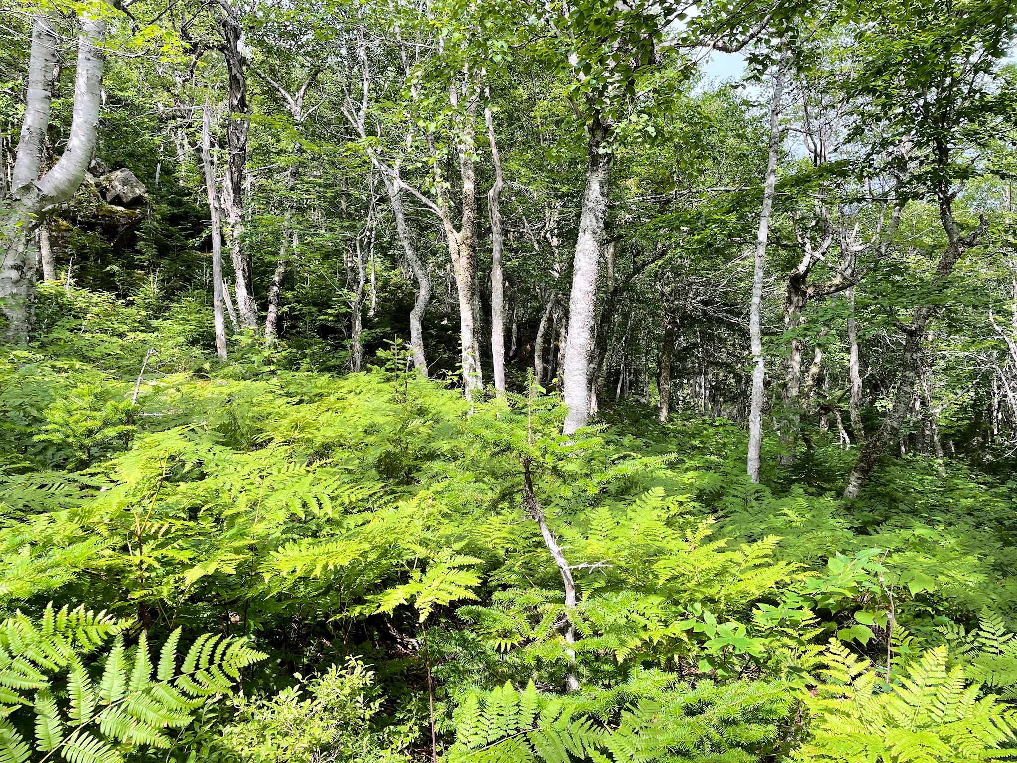
We saw signs everywhere about the ‘Acadian Forest.’ Initially, we thought the forest looked much like the one that surrounds us near our home in Vermont. After looking at the technical definitions of different forest types, we get it… The forests are quite similar indeed, with lots of broad leaf trees – maple, birch, beech, etc. However, the Acadian forest includes a larger mix of black pine trees (the dominant species in a boreal forest) and there are no oak trees. The northeastern coastal forest typical in New England includes oak trees of different varieties and no black pines. The transition between the two – central Vermont.
Exit, stage right

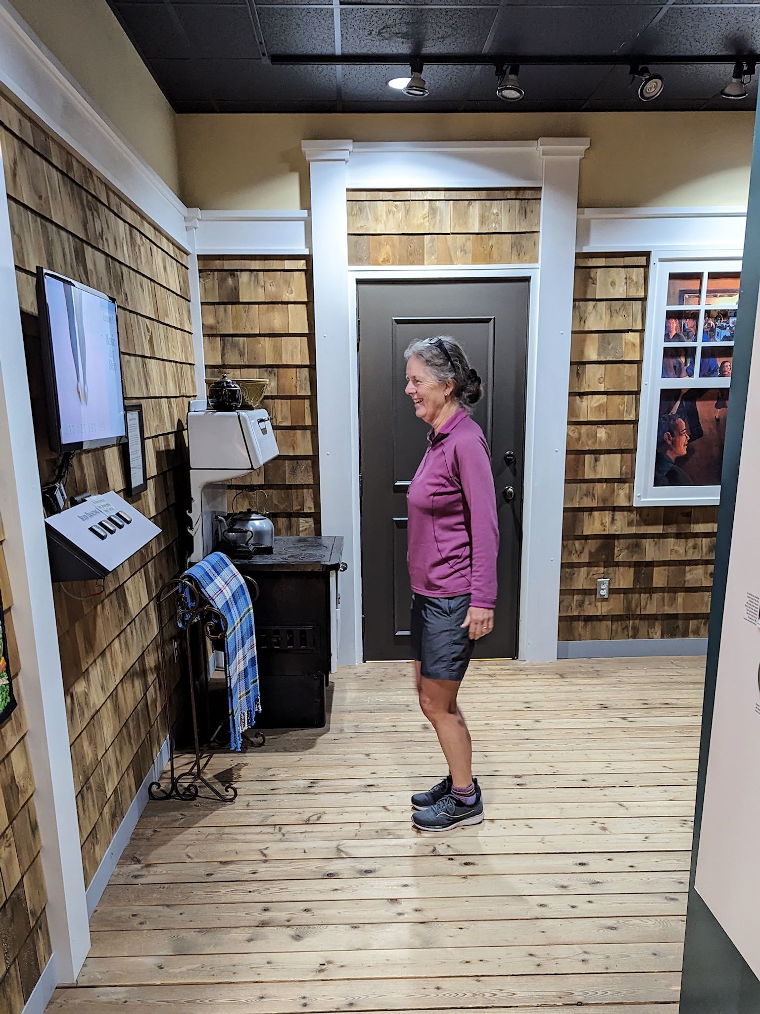
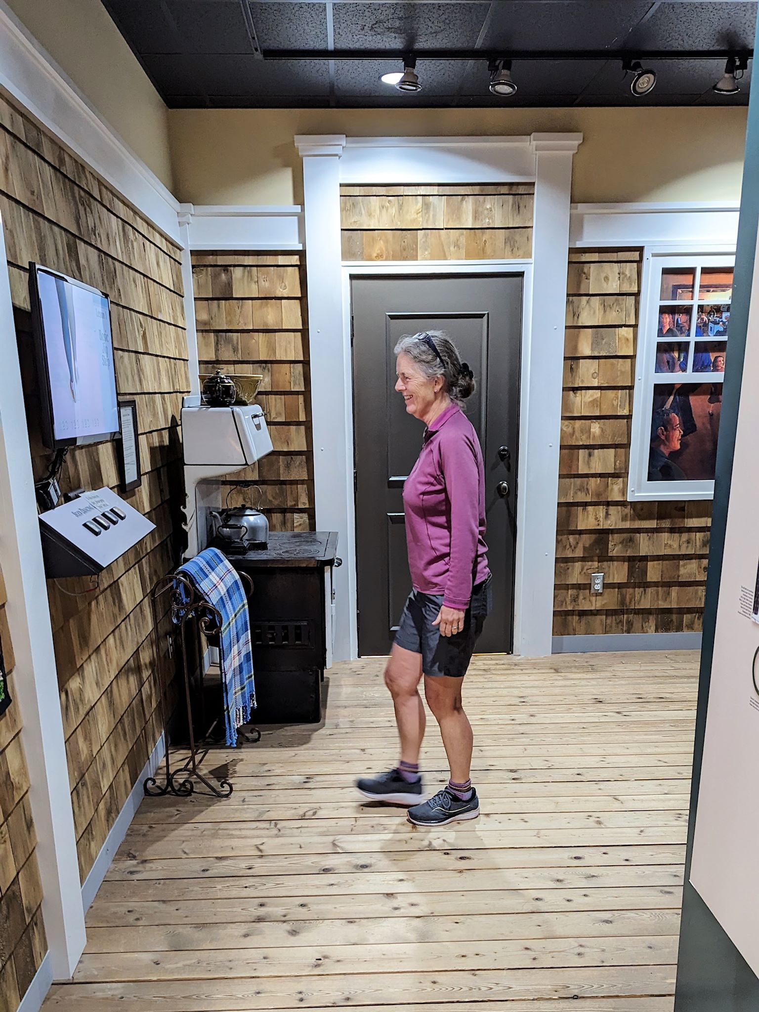
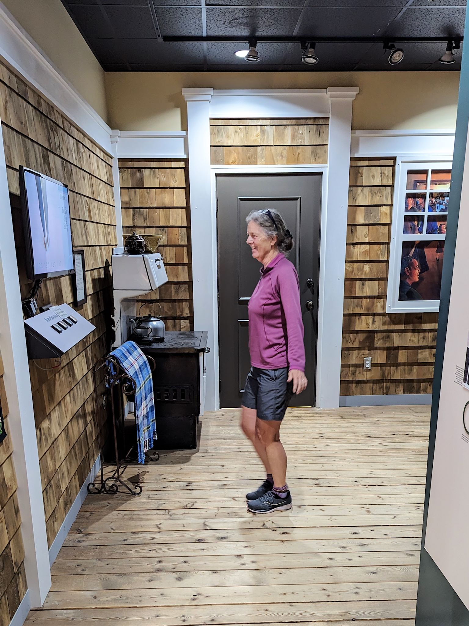
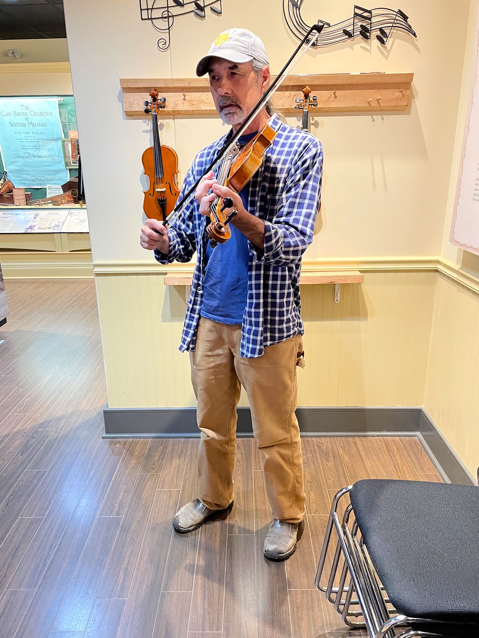
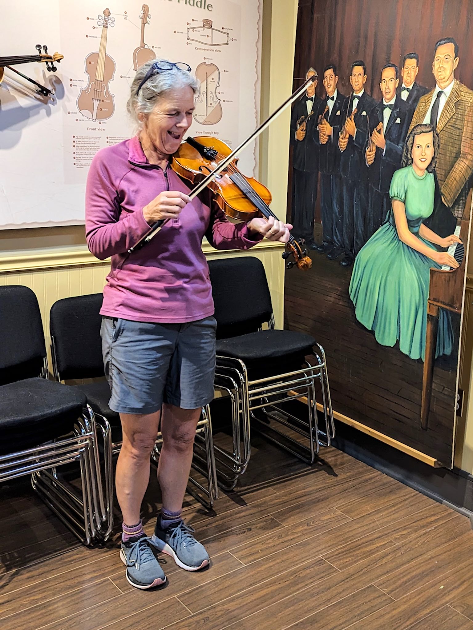
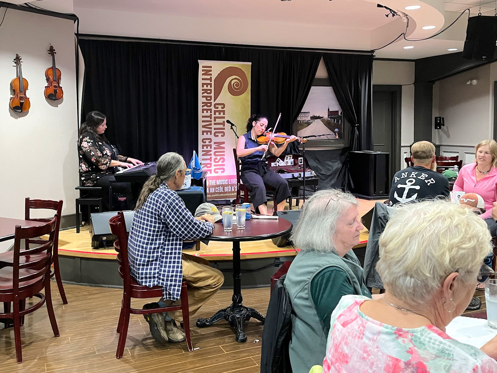
Driving southwest away from the park, heading for the causeway which would take us off Cape Breton island, we stopped for one of our e-pushpins. The Celtic Music Interpretive Centre was serving up lunch and traditional Cape Breton music. And it was raining hard. Lunch was good, and so was the music. We learned a lot in the compact exhibit there, about the Gaelic culture of Cape Breton, how to play a fiddle (well, how it’s done, anyway, if not how to actually do it), the differences between jigs, reels, strathspeys, marches, and waltzes.


For anyone who’s interested, more Scenes along the Cabot Trail, Middle Head, Franey Lookout, Broad Cove Mountain, Mica hike, Scenes North of the Cabot Trail, Meat Cove, Salmon Pools hike, Slide Saga, Aspy hike, Acadia hike pix…
Tawny, Ethan and I loved Cape Breton. Magical place!
Oooh, Barb, I remember you telling us about your visit to Cape Breton and how much you enjoyed it. Now we understand why…