National parks in Canada are established to manage wild and natural spaces, and balance access for visitors to appreciate and enjoy while protecting and conserving their unique ecological offerings. We’ve come to especially appreciate them as beautiful places to learn more about nature and indulge in one of our favorite activities – hiking. Gros Morne checks all the boxes and more. Much more. Its global geological significance is mind blowing.
The exhibit in the Interpretive/Discovery Center at Woody Point may have been the densest historical and scientific presentation we’ve ever tried to digest in a National Park. Multiple books have been written about each major discovery here. If you thought our prior discussions on history were super condensed, you ain’t seen nothing yet! Here’s our extreme super condensed version of a billion years of geology presented to highlight the awesomeness and uniqueness of this national park and set the stage for telling you about our exploration.
Key eras
- 540-600 million years ago – Volcanos erupted under the ancient Iapetus Ocean creating an undersea surface made of a specific type of blobby-looking basalt.
- 500 million years ago – The shores from the Iapetus Ocean lapped a beach in the Southern Hemisphere which would later wind up at the top of Gros Morne Mountain.
- 485 million years ago – Mud and silt begin to settle on the Iapetus Ocean’s floor, eventually to become shale in a continuing process.
- 480 million years ago – Gabbro formed as a layer of rock between the earth’s crust beneath the ocean and the earth’s mantle.
- 320 million years ago – The last major collision of continents occurred, buckling the earth’s surface to form the Appalachian Mountain range, creating a new super-continent named Pangaea and closing the Iapetus Ocean.
- Somewhere along the junction, this collision pushed the earth’s mantle, formed 500 million years ago, through the earth’s crust to the surface, exposing the mantle and in the process depositing globby-looking basalt, gabbro, shale, and granite at the edge of what is now the Canadian Shield.
- Eventually the land masses that formed Pangaea separated again into new continents that have been moving apart from each other at about the same speed as the growth of a human fingernail (42 mm/1.7 inches per year), leaving behind the area around Gros Morne Mountain on the west coast of Newfoundland at the edge of North America.
- Tens of thousands of years ago – Glaciers covered much of North America and the northern hemisphere, moving at their glacial pace (but much, much faster than fingernails) to carve out the land, leaving behind fjords and bays along the coasts of Newfoundland, Labrador and Quebec, among other places.
- Today – Gros Morne Mountain stands at an elevation of 806 meters/2,600 feet above sea level, and it is covered with ancient, hardened beach sand.
In the 1960s – The field of geology was abuzz with a new and controversial theory called plate tectonics that had yet to be proven. The concepts of this theory could explain how continents and oceans formed on the earth’s surface and how they change over time. Discoveries surrounding the unique rocks found on the island of Newfoundland in what is now Gros Morne National Park enabled scientists to develop a new and deeper understanding of the evolution of our planet over the past 4-1/2 billion years and plate tectonics is now the accepted theory.
Rocks – type and location – are so important to scientific discovery in the park that they are known as ‘rock stars.’
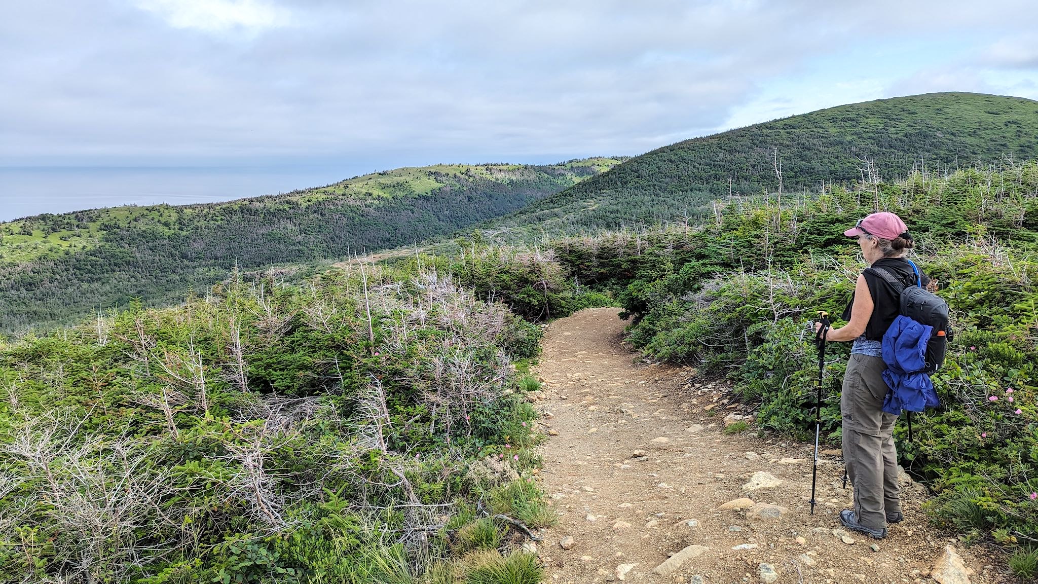
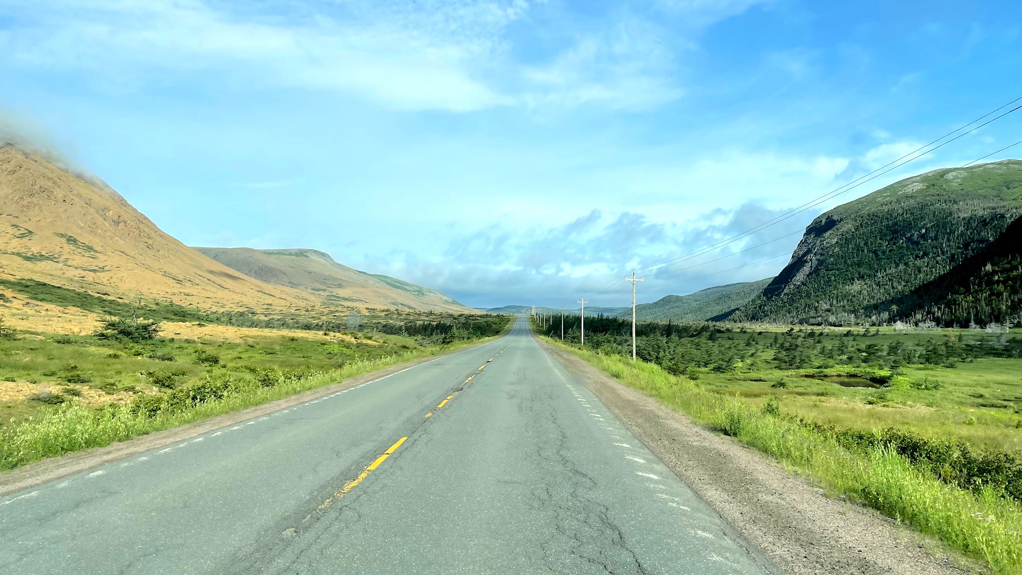
With our new insights on geology, we tried to pick hikes that worked around our constraints while giving us broad exposure to all the funky rocks/eras we’d learned about. The typical weather at Gros Morne is often cloudy with intermittent rain and fog. My ankle tendinitis is much improved, though not yet ready for the 6-hour hike through loose scree to the summit of Gros Morne Mountain. There are still many options – we can do this…
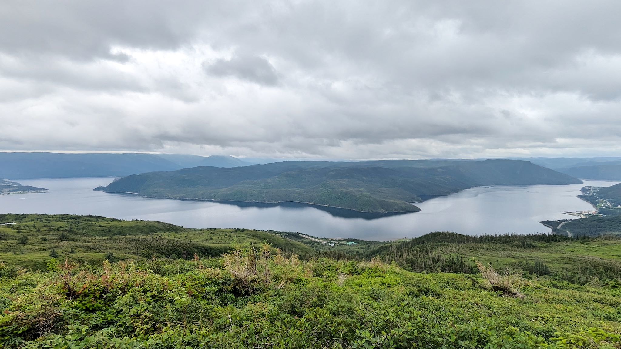
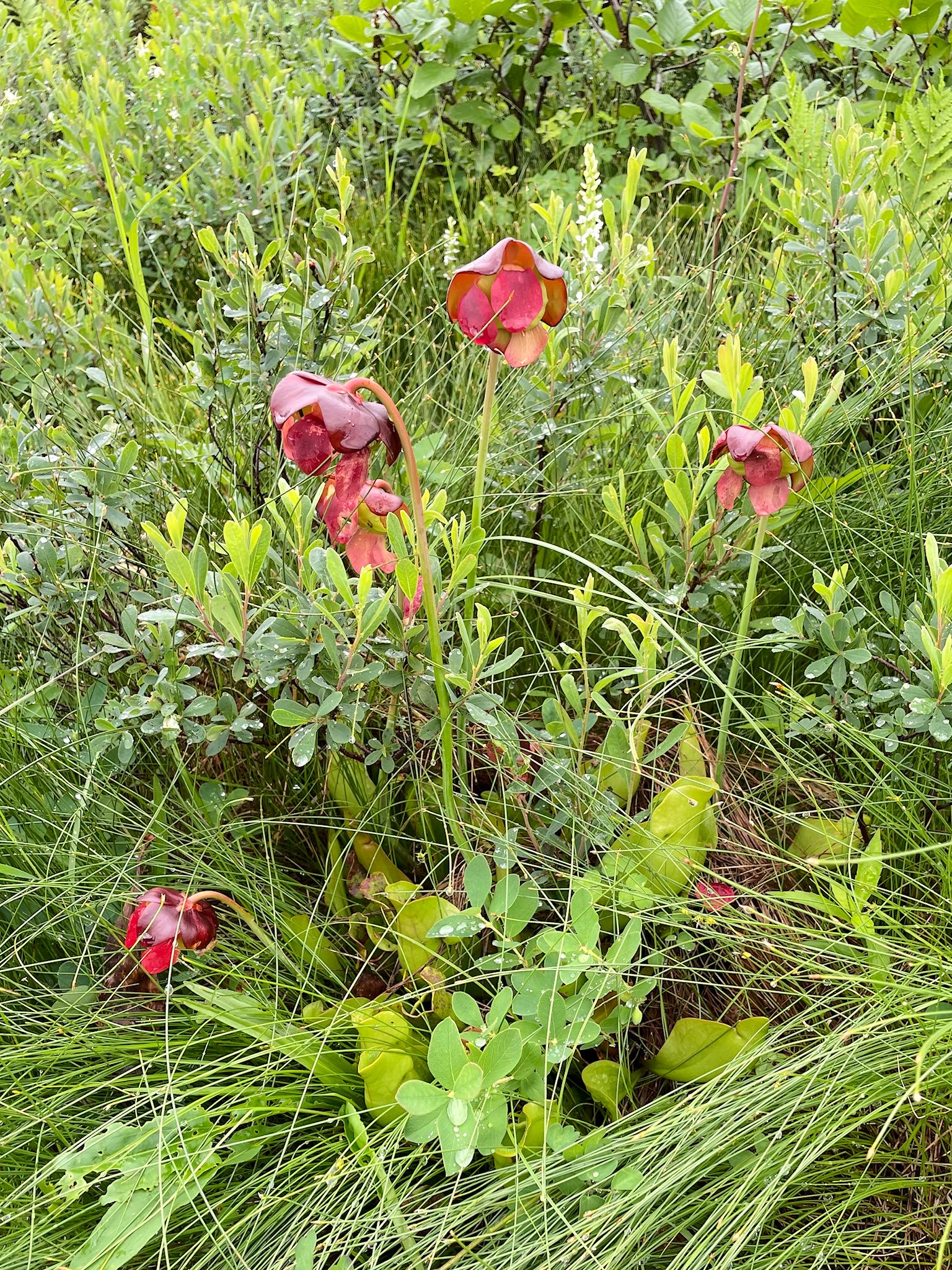
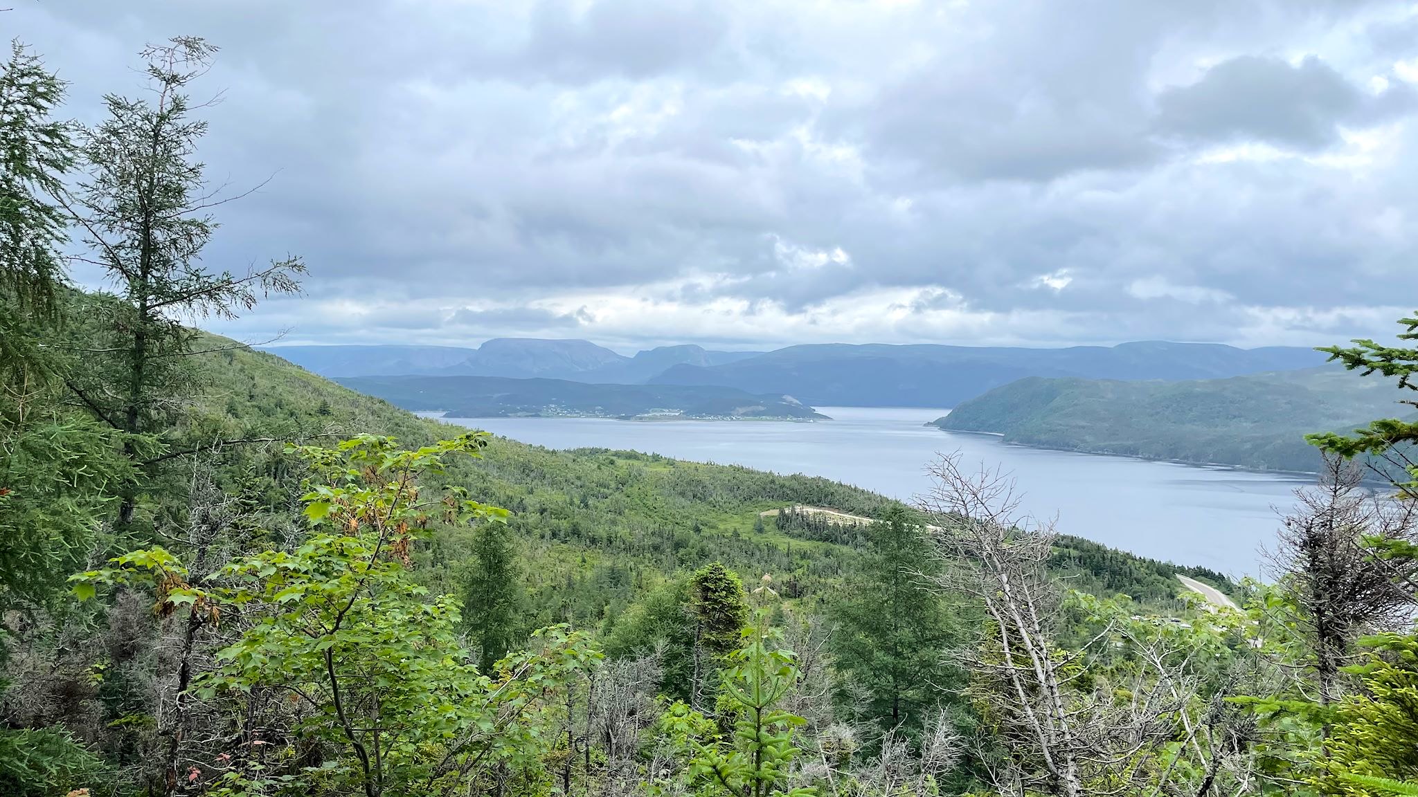
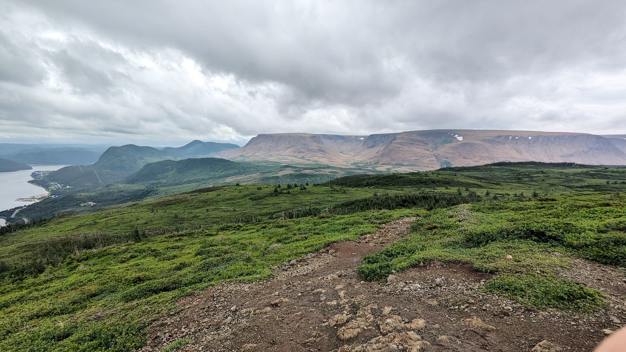
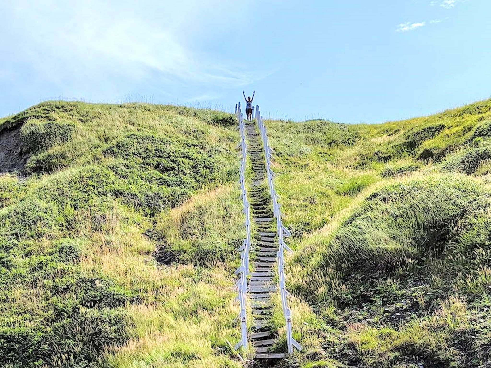
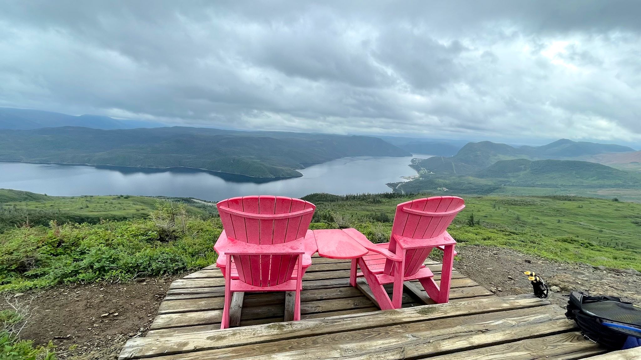
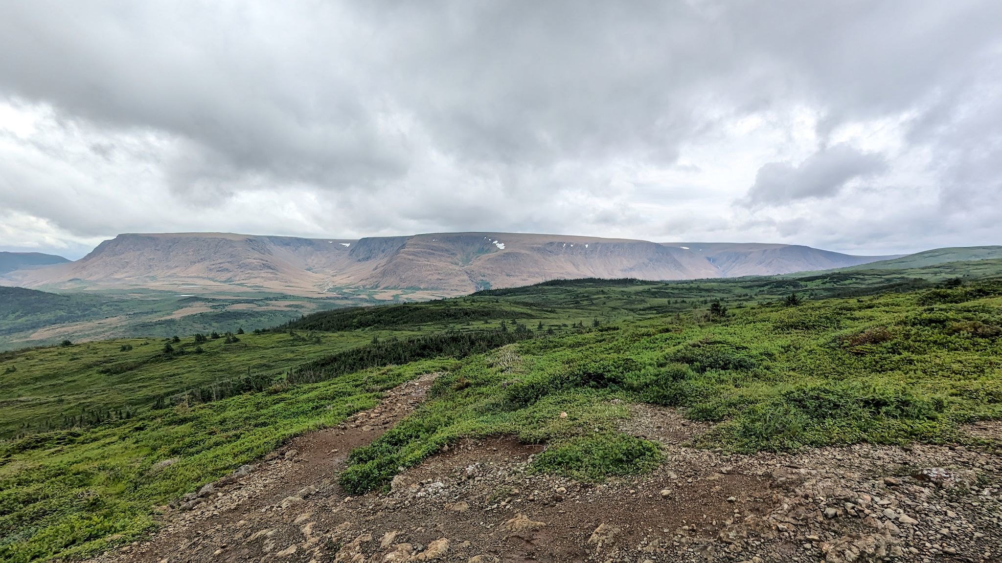
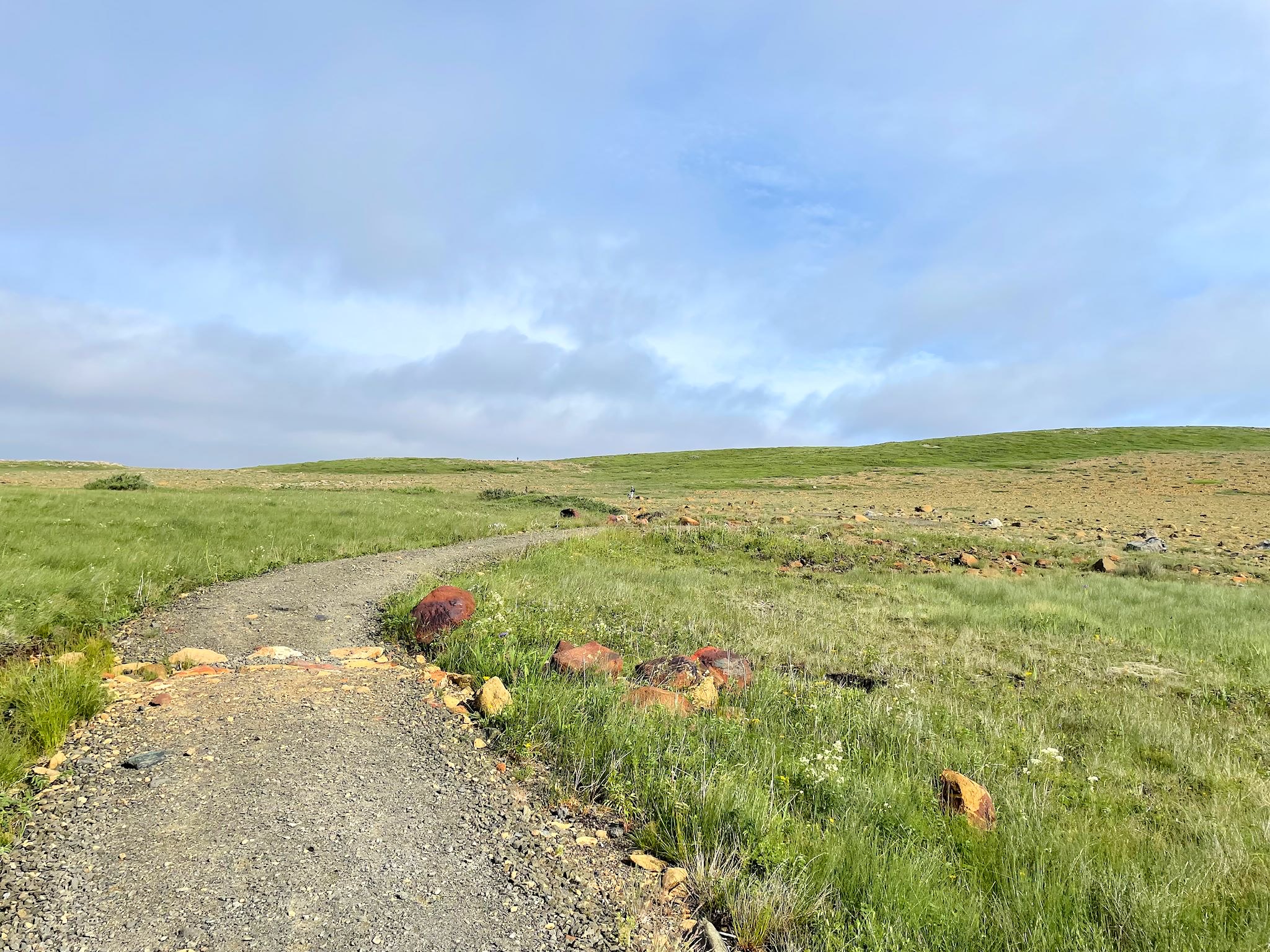
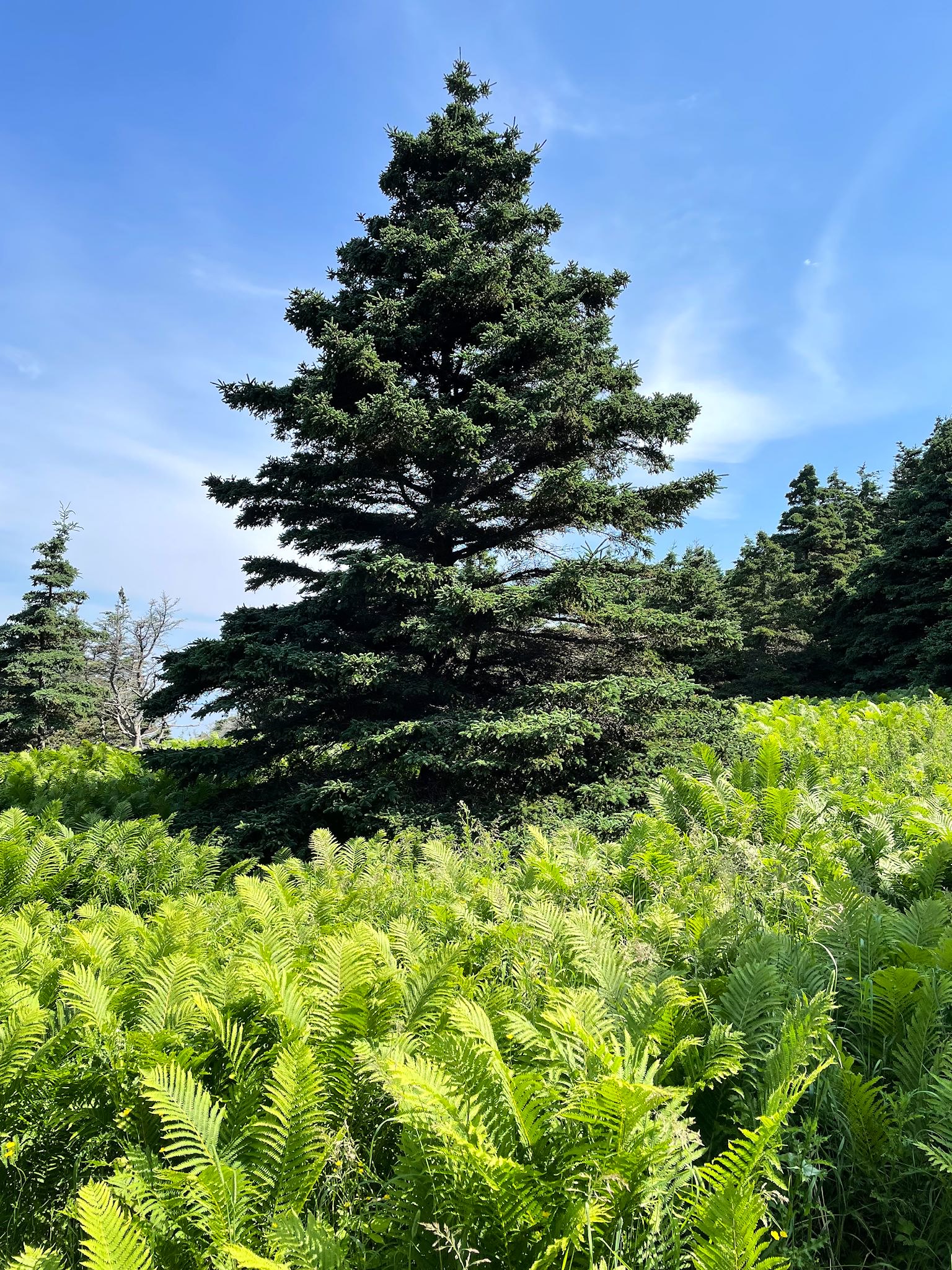
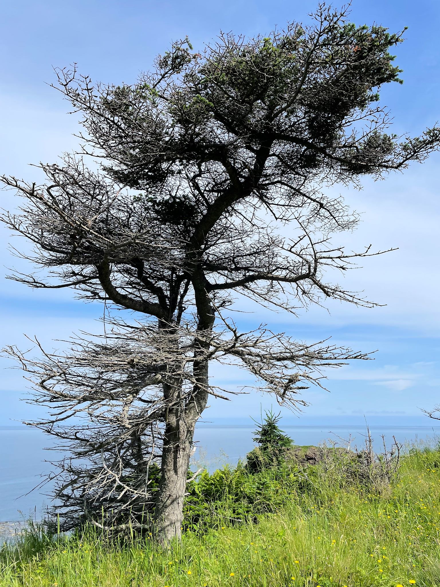
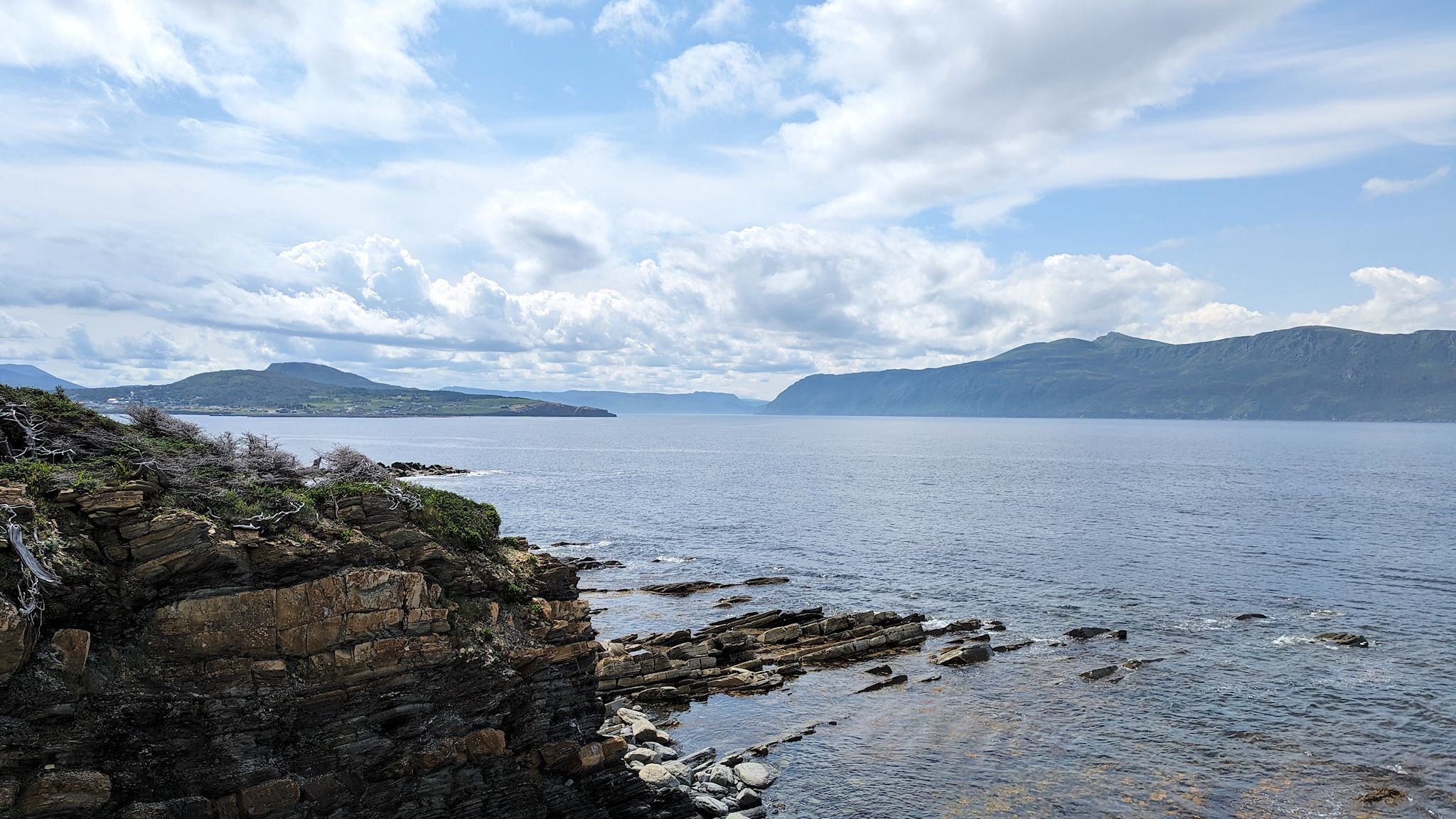
What’s not to like about a hike called The Lookout? The trail switchbacked its way through the forest then opened up into beautiful, green meadows filled with wildflowers, including millions of carnivorous pitcher flowers. As expected, we arrived at the top of the Partridgeberry Hill Lookout with 270-degree views of Gros Morne National Park. To our north was the hardened-beach-sand-covered Gros Morne Mountain, the tallest peak in the park. Looking east gave us a huge view into Bonne Bay (rhymes with Bombay), formed when the glaciers carved through the layers of shale formerly below the Iapetus Ocean floor. The Tablelands – an orangey-brown chunk of the earth’s mantle – were in full view to the south and southwest as we began our descent from the lookout.
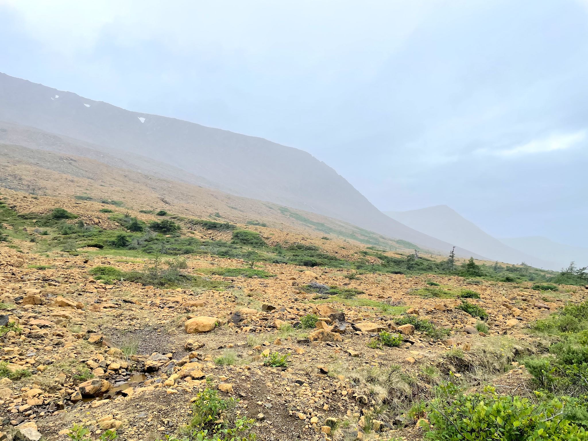
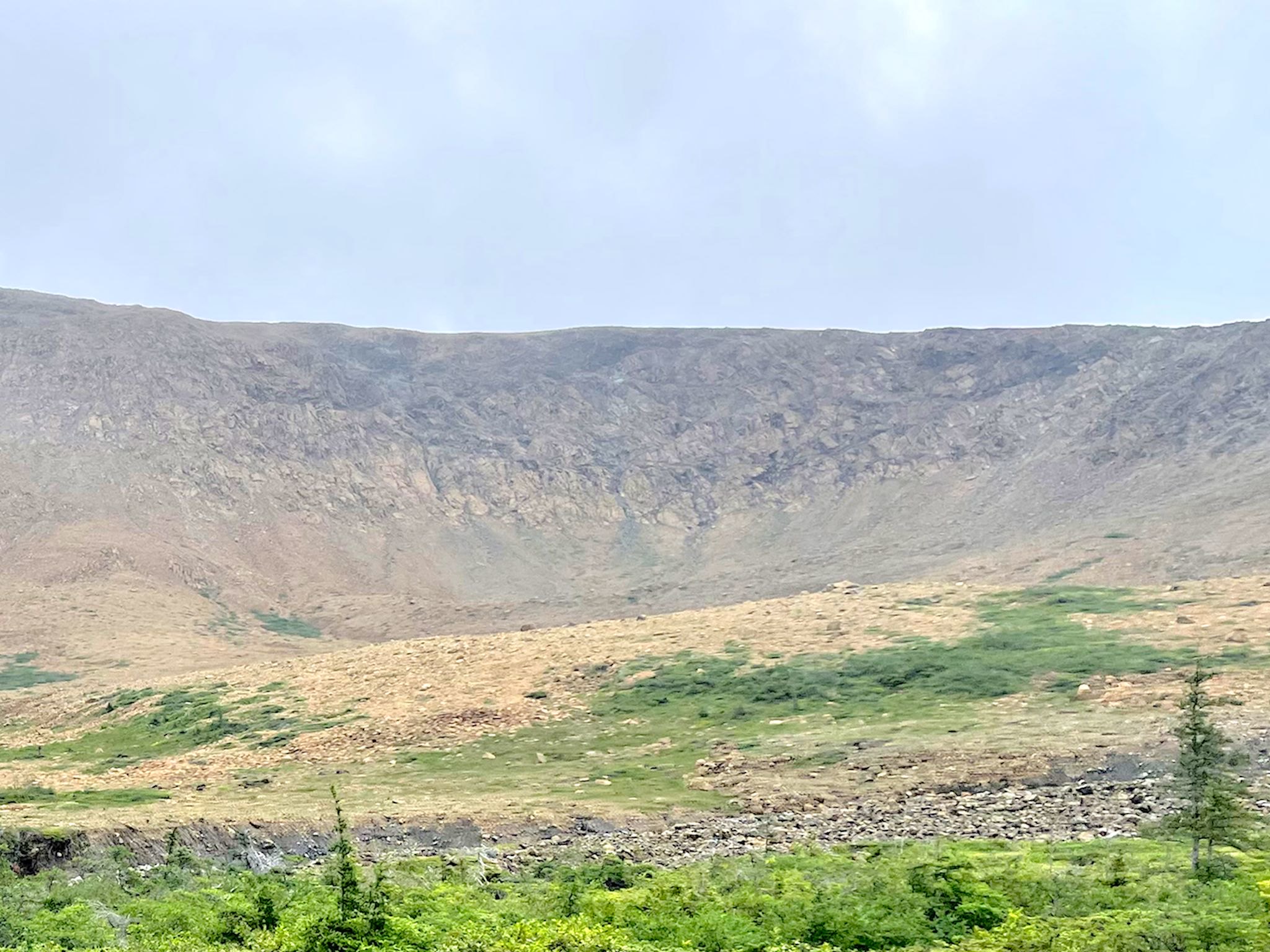
We planned to hike the Tablelands to explore this unique, alien-like terrain. Of the 3 trails, only one was open. The other 2 were still closed due to too much snow/mud on the trails. (Yes, in mid-July.) The traverse across the base of the mountains to a waterfall started with fog and a gentle sprinkle of rain and evolved into a downpour within 15 minutes. The weather changes quickly here, so we thought we’d try again in the afternoon, but it wasn’t meant to be. We’d find another way to check it out, another time.
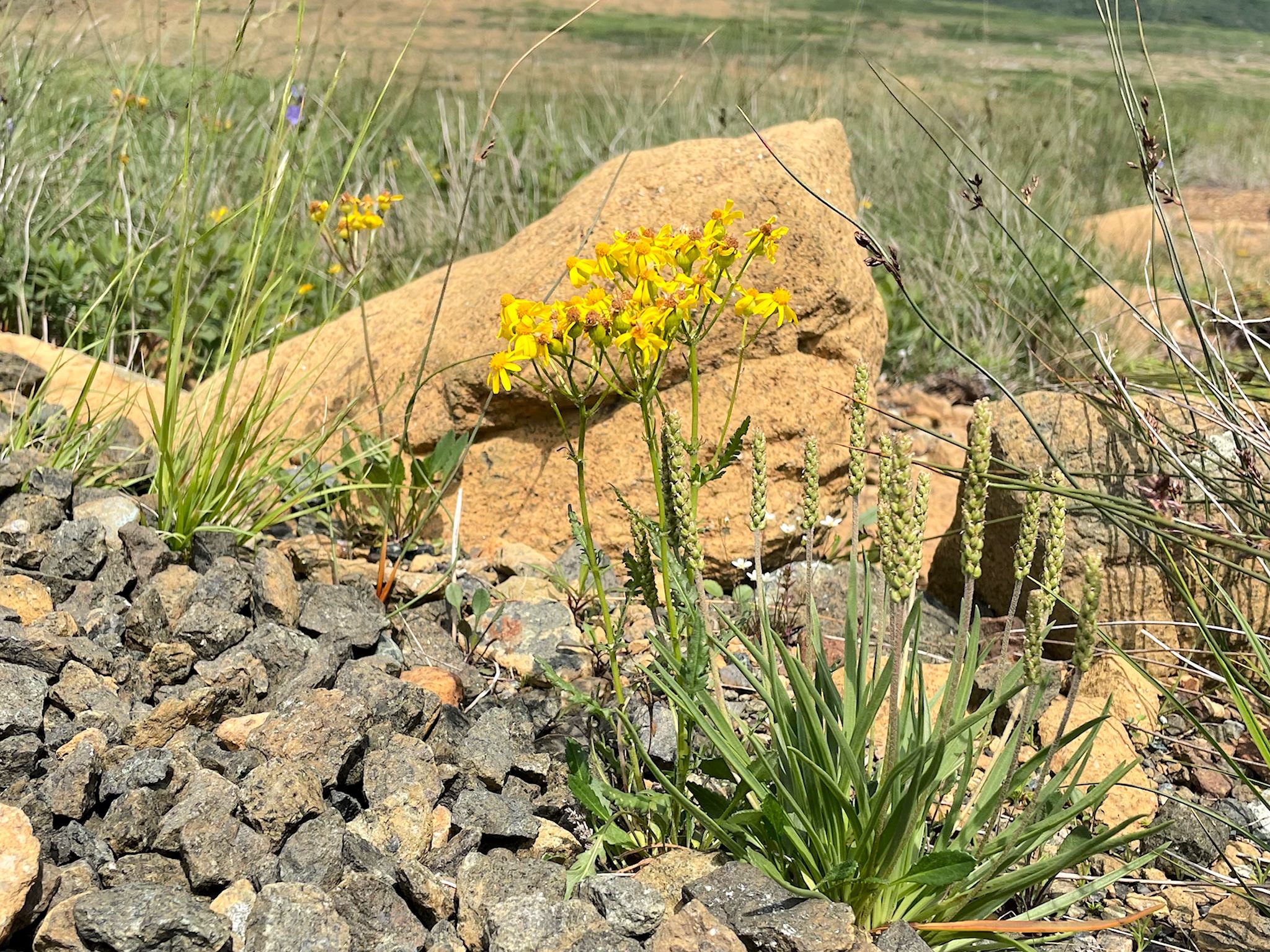
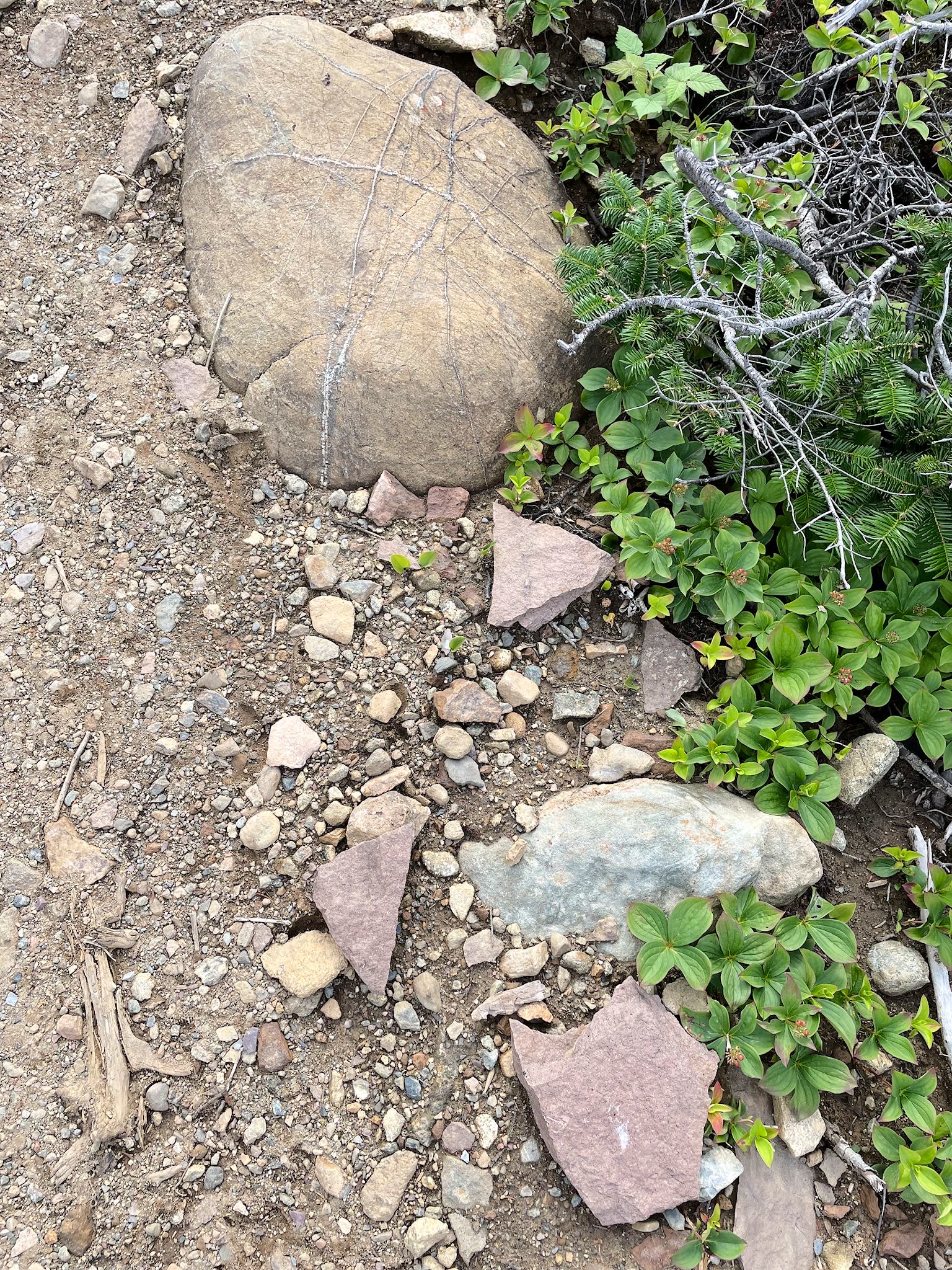
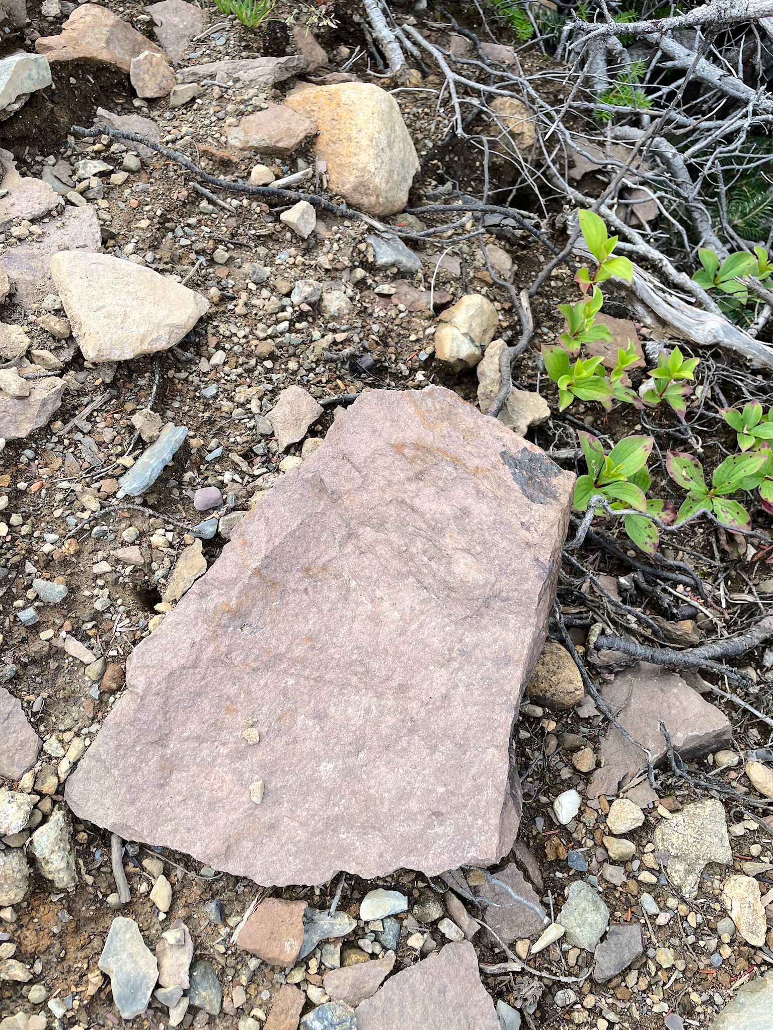
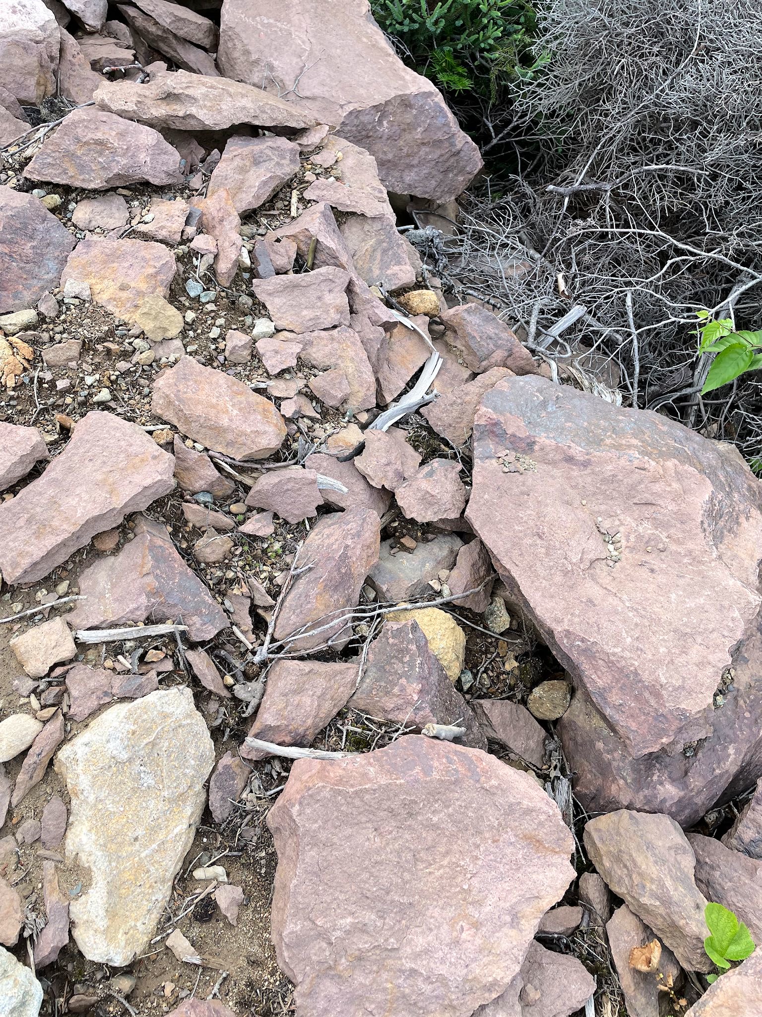
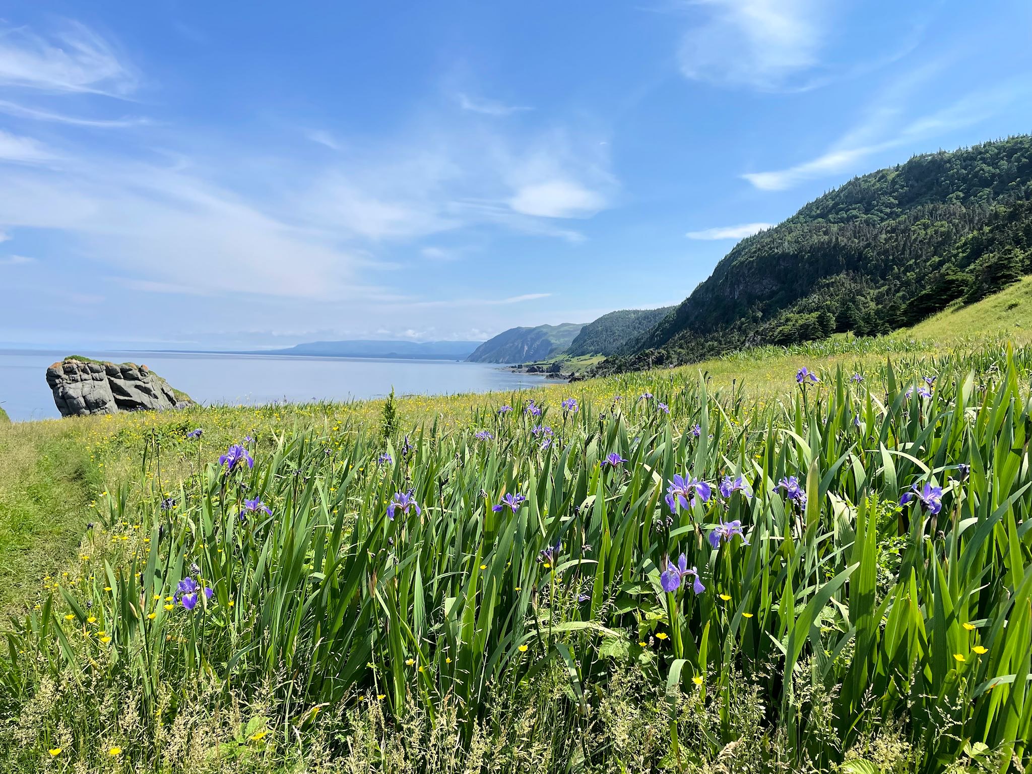
Our friends Mark and Linda have visited Gros Morne NP and gave the Green Gardens hike their highest recommendation. That’s enough for us! The serpentine trail started gently through a meadow made mostly of orangey-brown mantle rock. Wildflowers were sparse as they had to find tiny patches of soil among the alien, rocky landscape in which to take root. Once over a small ridge within the forest, the trail descended toward the shore. We both stopped suddenly. It was as if a line were drawn across the trail. Laying on the orangey-brown rock/soil was a chunk of purplish rock that was obviously volcanic in origin. Then we saw another purplish rock. Then, within the span of about 20 feet, the trail rock/soil was completely purplish volcanic rock. Cool!

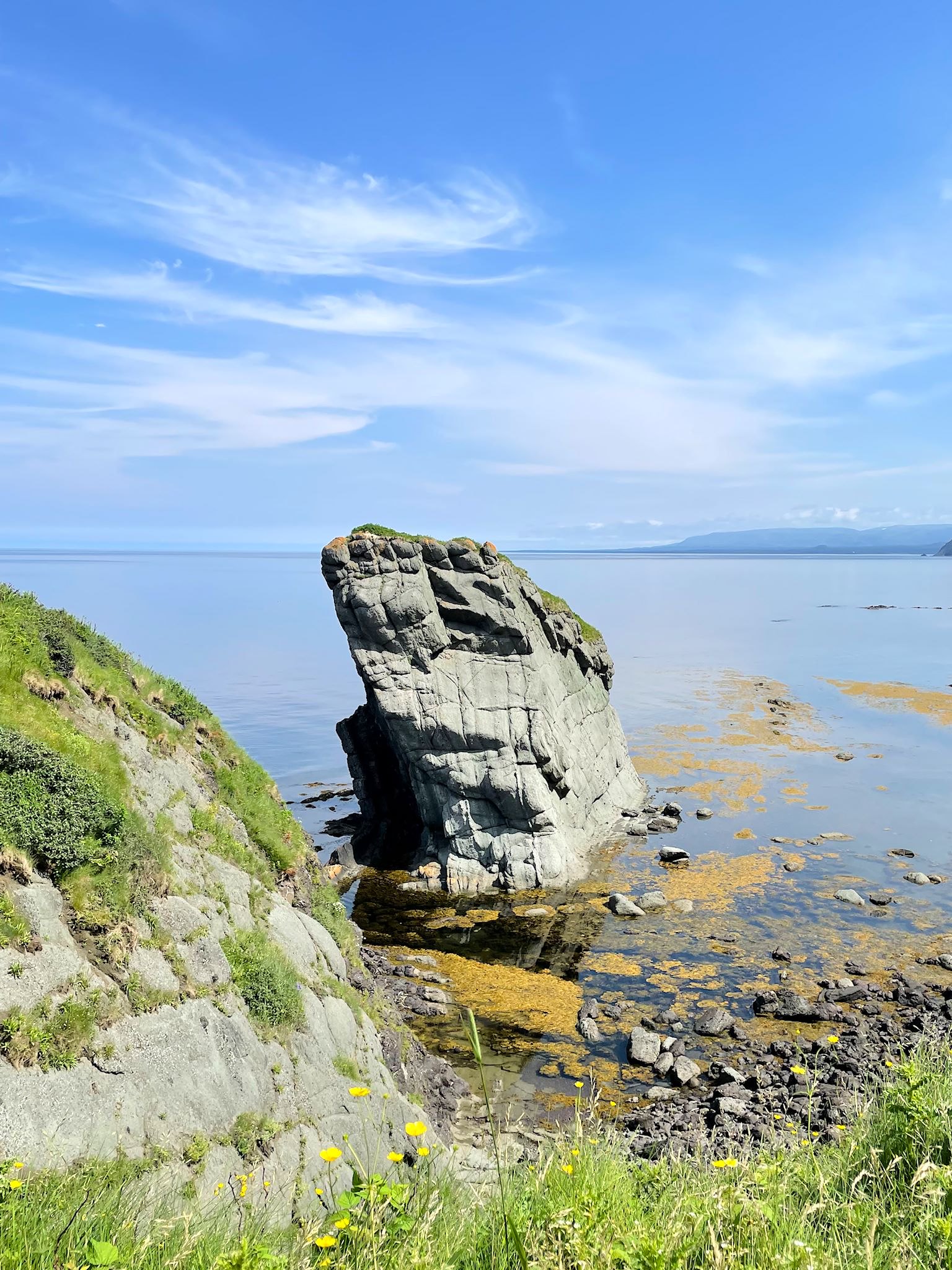

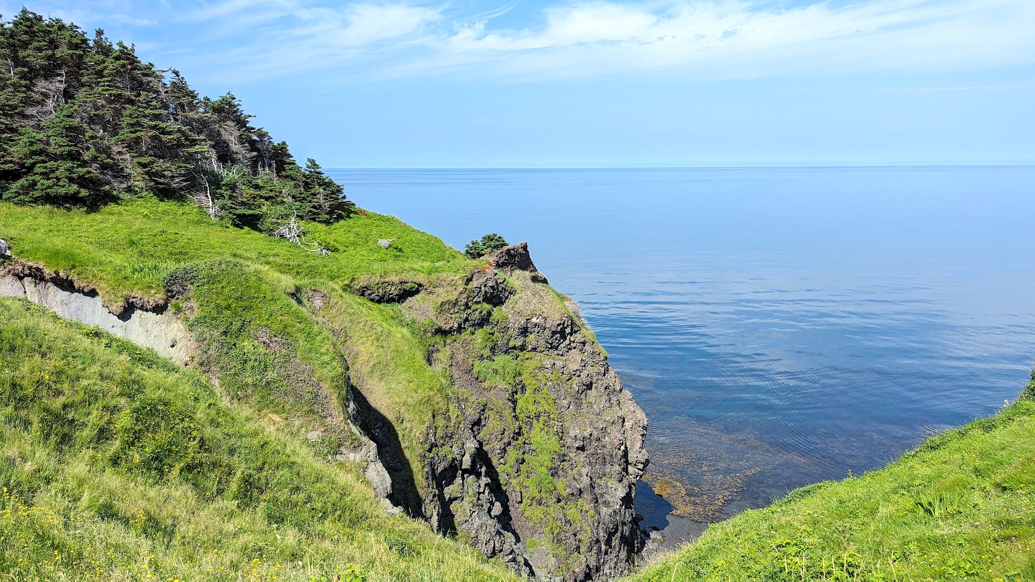
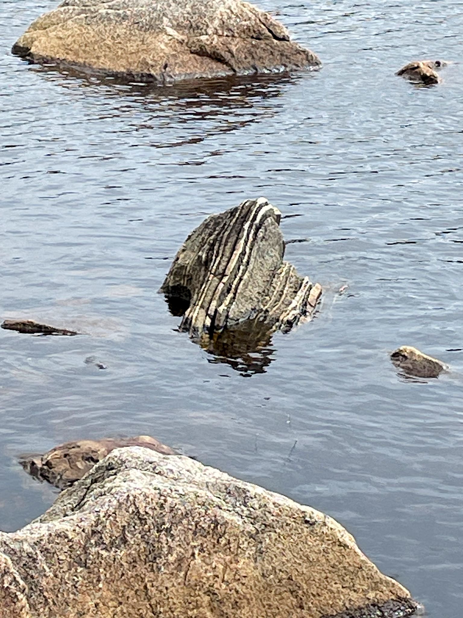
Reaching the shore, we were treated to some of nature’s finest rock sculptures! These formations and cliffs along the shore were basalt, spewed from an underwater volcano onto an ocean floor deep beneath the sea more than 500 million years ago. Our lives are but a speck…
Driving back to camp, we couldn’t help but notice that the south side of the road was barren, orangey-brown Tablelands Mountain while the north side was treed with darkish rock. We cornered a ranger at the Discovery Center and learned the darker side was made of gabbro, the deepest layer of the ocean floor. Ponder this: In 2023, we were driving along the road between an ancient ocean floor formed almost 500 million years ago and a chunk of the earth’s mantle. The earth certainly has been rocking and rolling in the last billion years!
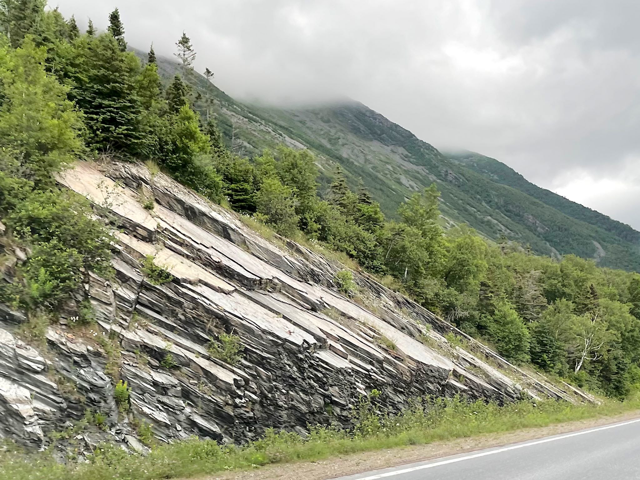
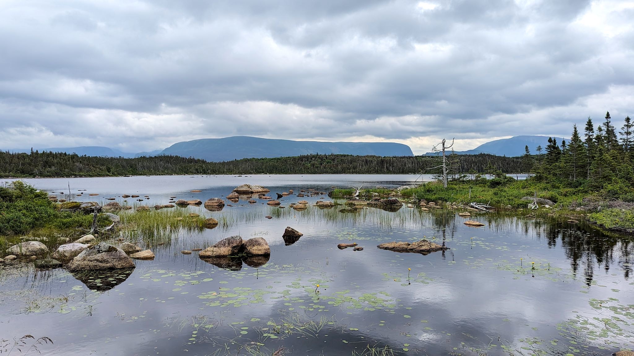
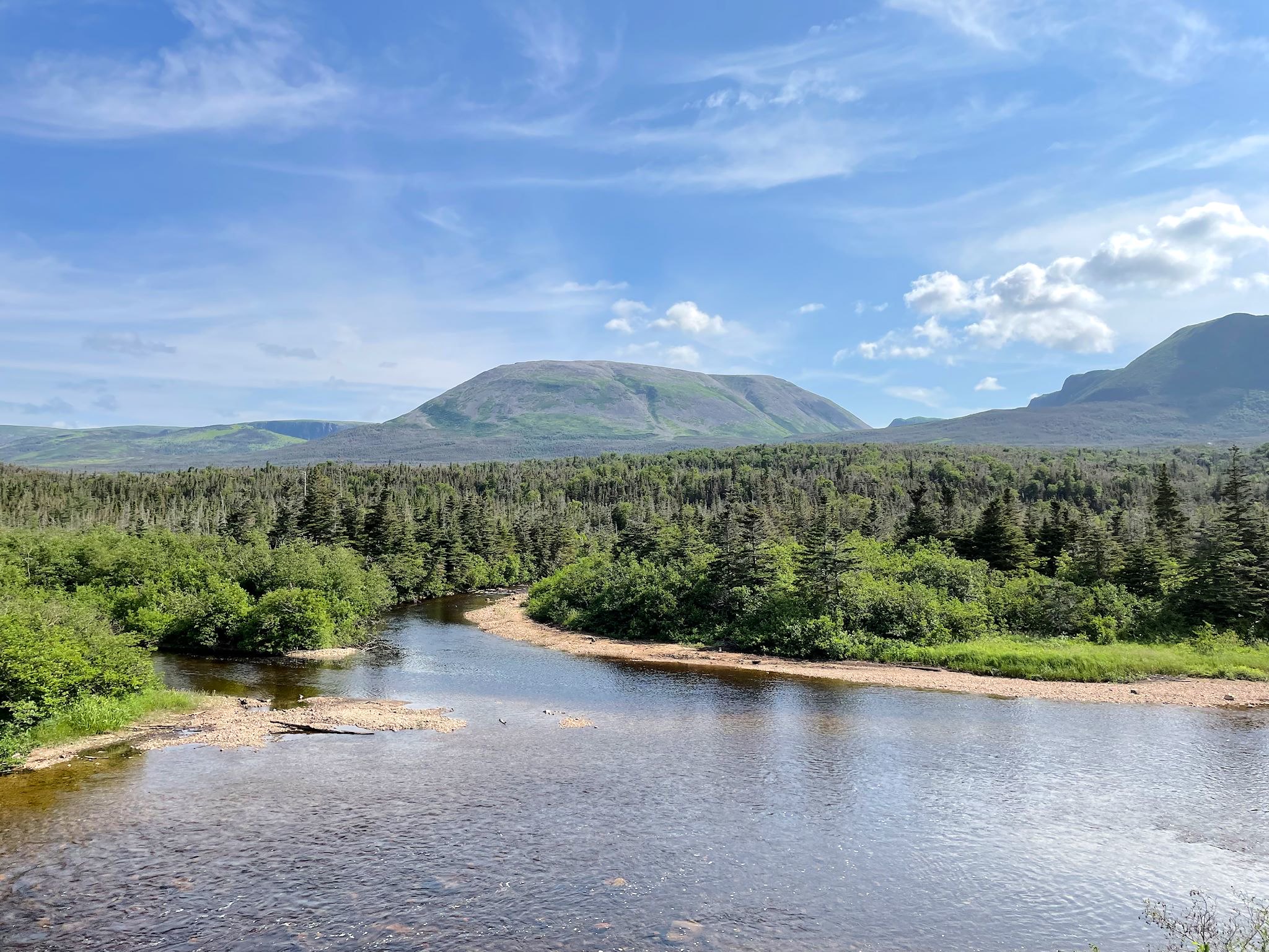
On a drive across the park, we marveled at the shale-looking rock cuts along the road. We did short hikes around Lobster Head Lighthouse where shale ledges were falling into the ocean. We also did two hikes in the Berry Hill area of the park. Both Berry Pond and Berry Hill provided us with delightful views of Gros Morne Mountain.
Our friend Dana (of Dana and Muffin) is a geologist. Dana and Muffin have told us a lot about Newfoundland. If the saying that your ears are burning when people talk about you are true, we owe Dana an apology for setting his hair on fire.

Something we’ve noticed about National Parks in Canada – several have towns, with real people (as opposed to NP staff), living in them. That’s true of Gros Morne. We visited 3 of these pretty towns – Woody Point, Trout River and Rocky Harbour.
So far, we’ve learned of findings with major historic significance to science and civilization that were discovered at Red Bay, L’Anse Aux Meadows and Gros Morne National Park – findings that changed the way we understand the world around us. All of these discoveries have occurred in our lifetimes, mostly in the 1960s. Ha! And we thought the ’60s were all about rock ‘n’ roll…
For anyone who’s interested, more Partridgeberry Hill Lookout, Tablelands, Trout River, Green Gardens, Rocky Harbour, Berry Pond and Berry Hill and scenes from the NP pix…