I’ve always had a fascination with travel and for the past 20 or 30 years (give or take a few) whenever Doug or I learned of an interesting place to visit we put a pushpin on an electronic map. (It actually started with a little silver bucket with small pieces of paper and a pen on the bookshelf in our living room – our ‘Bucket List’ bucket – evolving from bookshelf to computer to The Cloud, but the concept still holds.) (We also keep track of the source of each so that friends who made the recommendations receive proper attribution.) Anyhow, as we got close to retiring those e-pushpins were nearly out of control. We’ve now spent a good part of the last 12 years reining things in, tracking and checking off the locations, marking some for a possible revisit, thanking the folks who sent us somewhere, and learning effective strategies to navigate our pushpin map.
So, here we are in Nova Scotia.
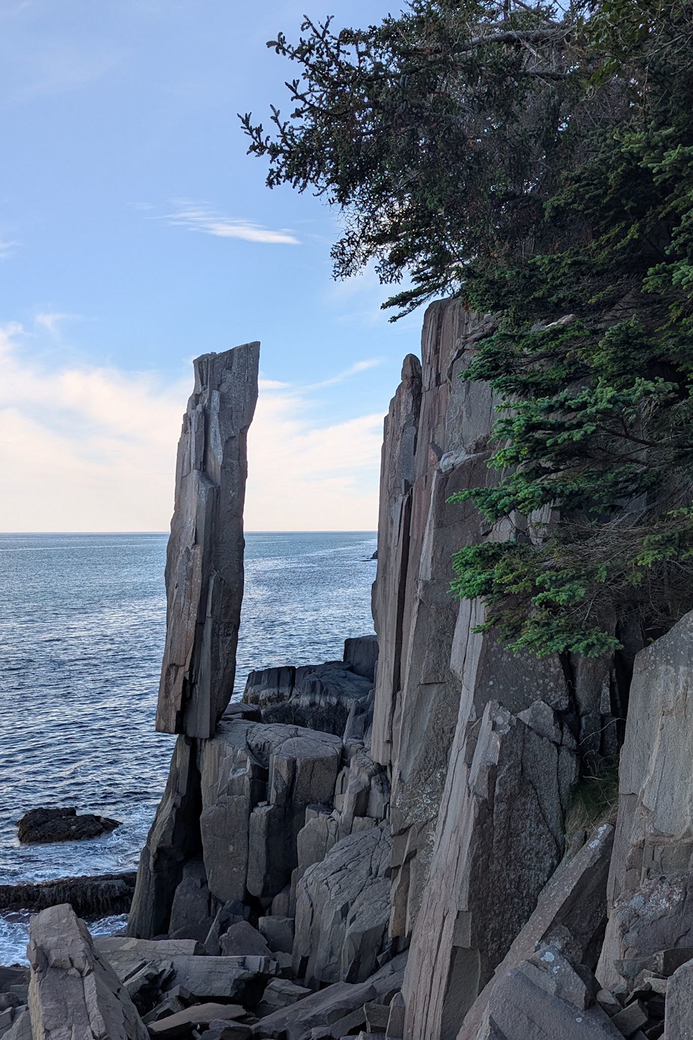
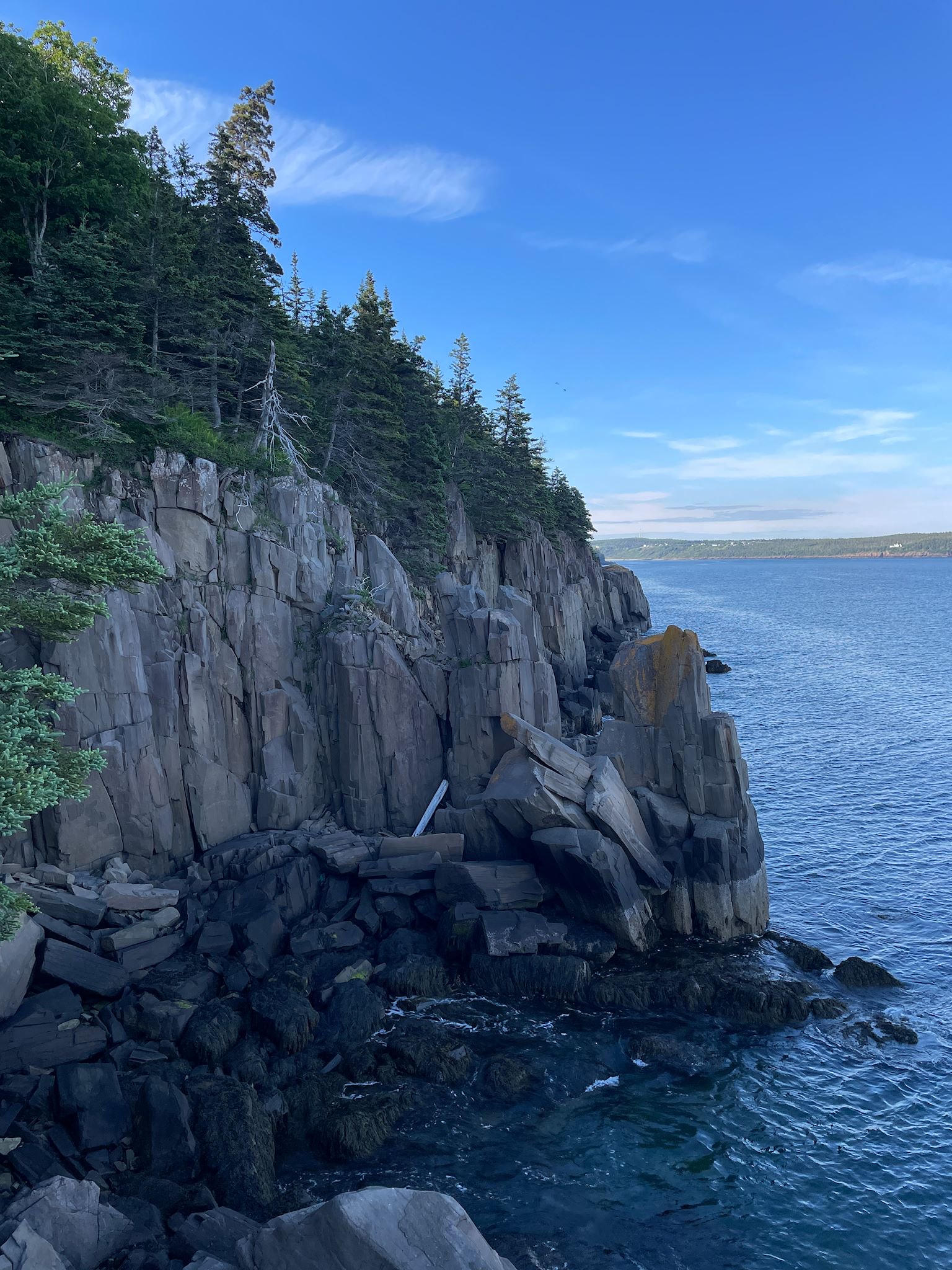
Now, after all the talk about attribution, I don’t have (or can’t recall) a source for this Balancing Rock. It may have simply been a newspaper article about something cool in an out of the way place should we ever get to Nova Scotia. Right near the rock is a campground with sites along the cliffs, boasting fabulous views of the Bay of Fundy – so we got off the ferry in Digby and headed west.
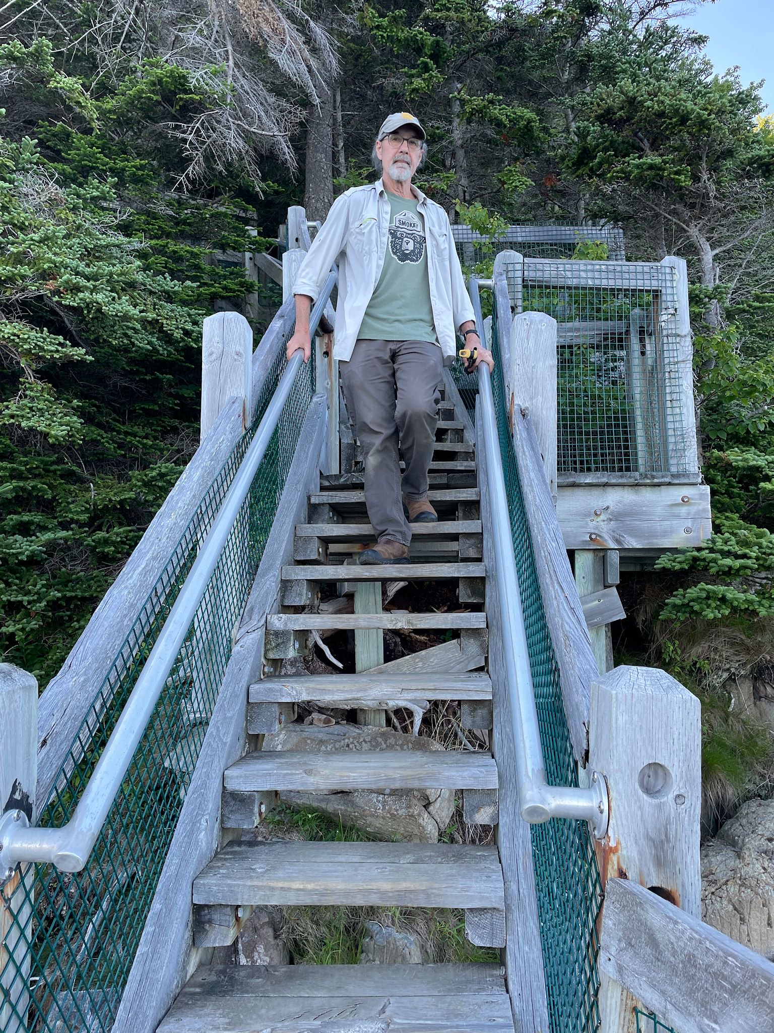
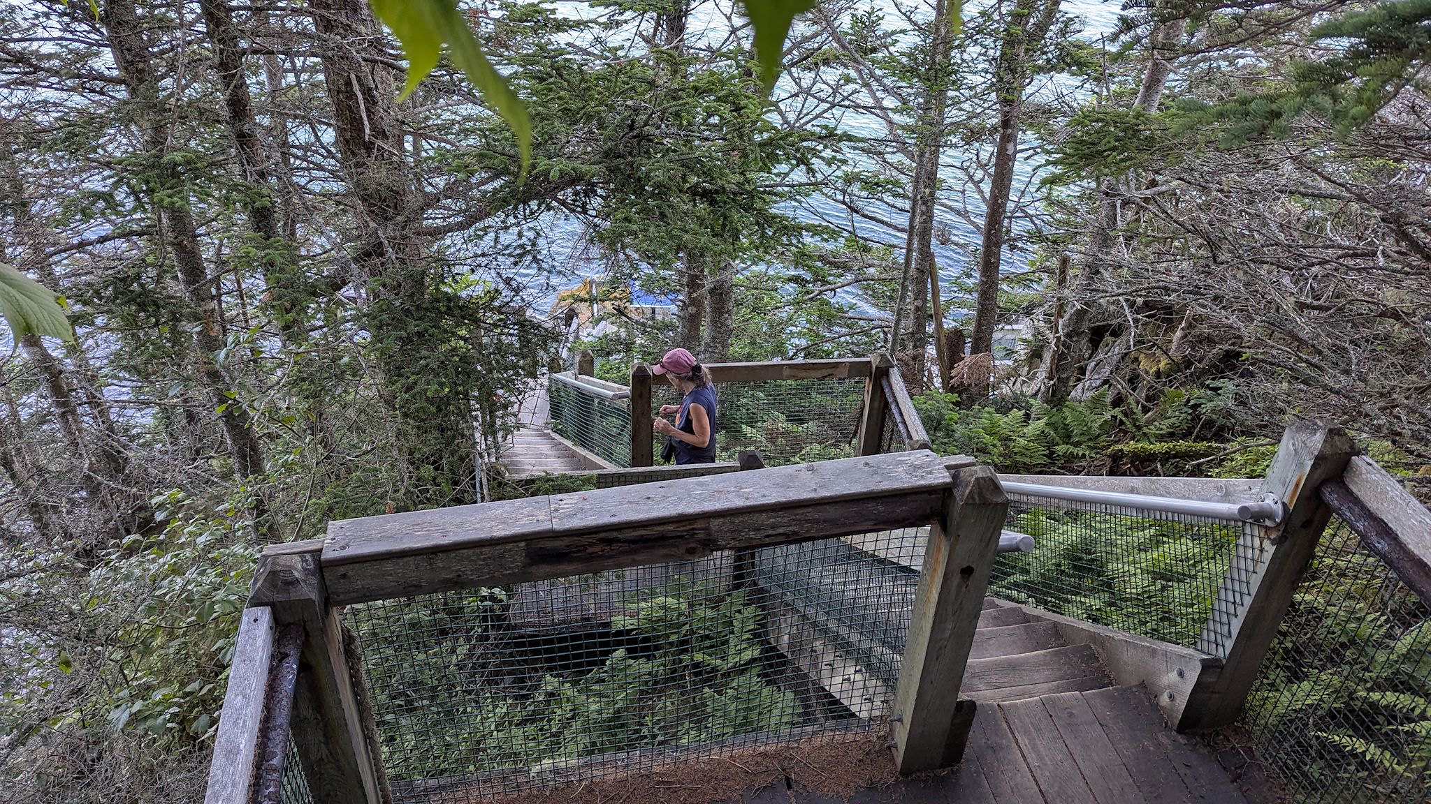
Balancing Rock is a 20 tonne (22 ton) column of volcanic rock (basalt) that appears to defy gravity on its perch facing St Mary’s Bay. Fortunately for someone recovering from West Nile without much endurance (i.e., me), the trail to Balancing Rock is a mere 2.3K (1.5 mi) round trip, though it does include a stairway with 235 steps leading down almost to the water’s edge. The rock does indeed make you want to shake you head and say ‘Wha?!’ How did that happen? How does it stay there?
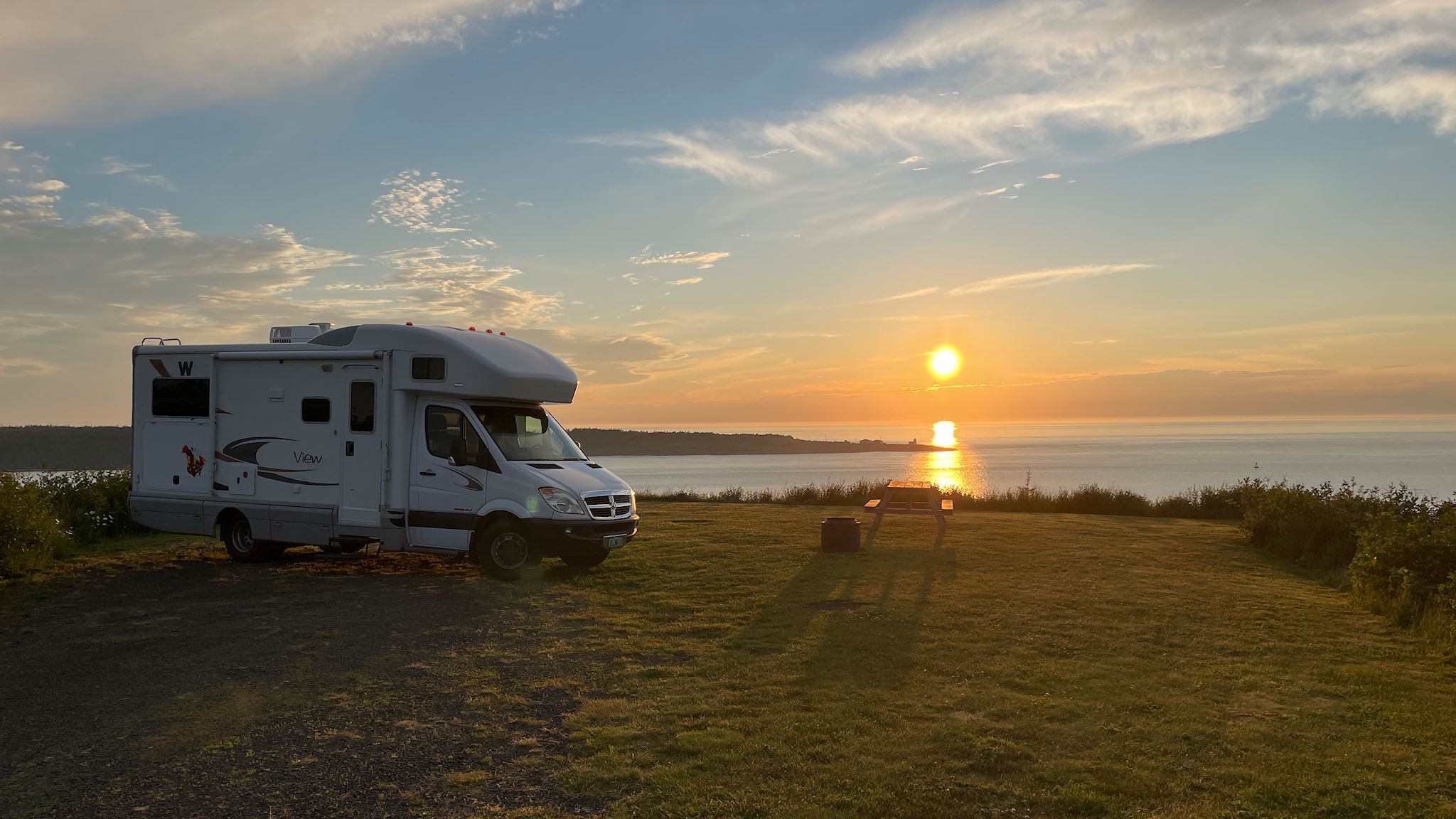
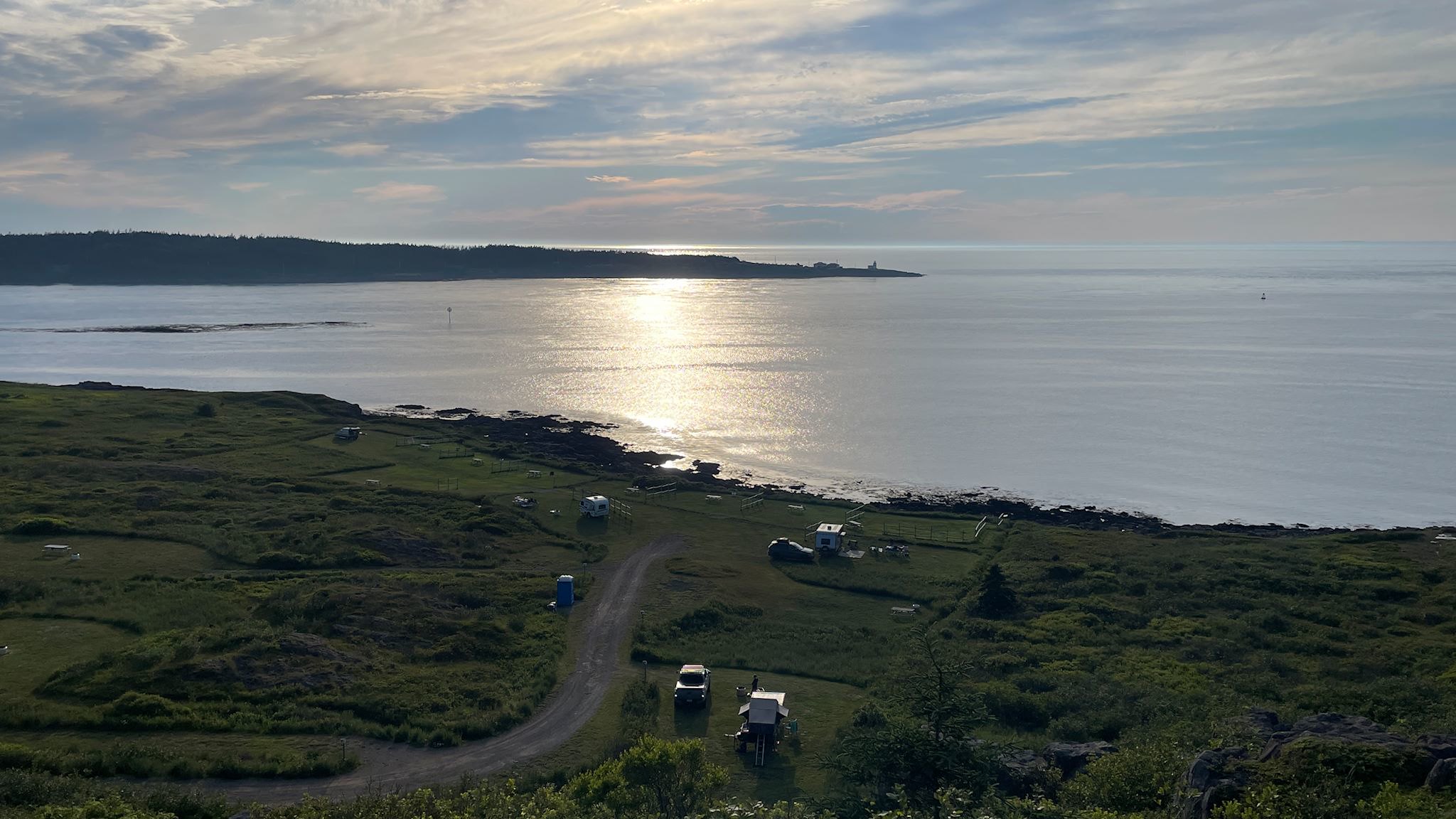
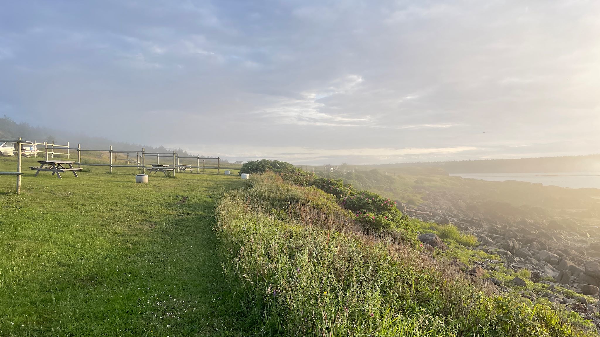
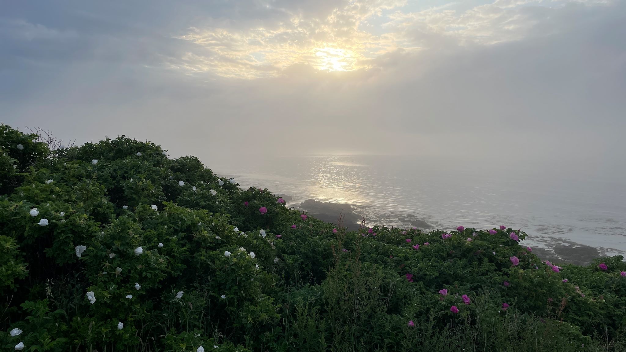
Nearby was Whale of a Time Campground. Wow, what views!
My mother’s family is Acadian (via New Brunswick) and some of my ancestors were impacted by the Acadian Deportation of 1755. While reading a book on this sad chapter of history, I learned about the Melanson Settlement, a Parks Canada National Historic Site featuring a well preserved pre-deportation settlement near Port-Royal. E-pushpin!
Once in Port-Royal, the entrance sign for the Melonson Settlement was hard to see behind a tree. Driving our large-ish truck on a narrow road, we had to go a ways to find a place to turn around. Oh, there’s one – wait, what’s this? We were about to turn around in the parking lot for the Port-Royal Habitation, also a Parks Canada National Historic Site, yet not on our pushpin list. Maybe we should stop to see what this is before we turn all the way around, eh?
In the early 1600’s, France and England were looking to establish colonies in the New World and sent settlers to various places on the Atlantic coast. Unaccustomed to winters this far north (a synonym for clueless and unprepared), more than half of the colonists arriving in what is now Nova Scotia did not survive their first winter. In 1605, Pierre Dugua, Sieur de Mons, working with the explorer Samuel de Champlain, discovered the sheltered harbour of present-day Port-Royal. They came ashore and were met by the Mi’kmaw who were already friendly with early traders from Europe. Port-Royal became one of the earliest French settlements in Canada.
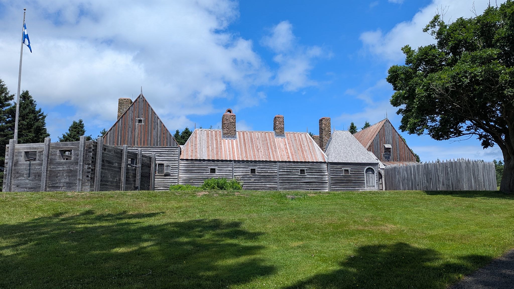
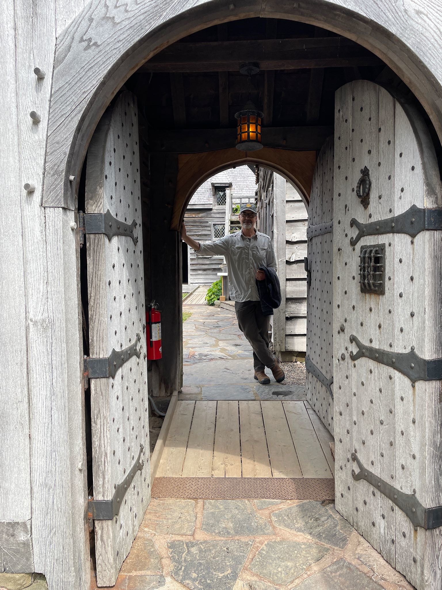
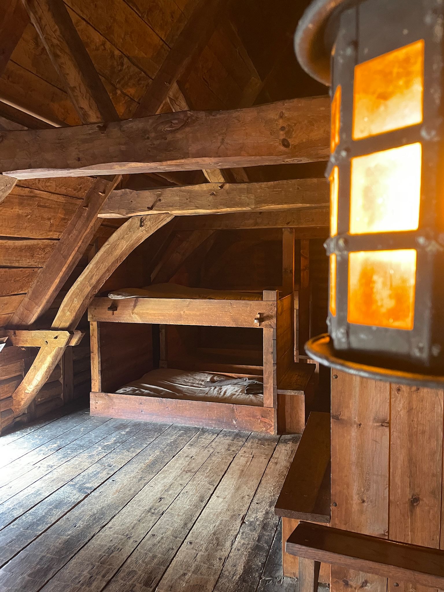
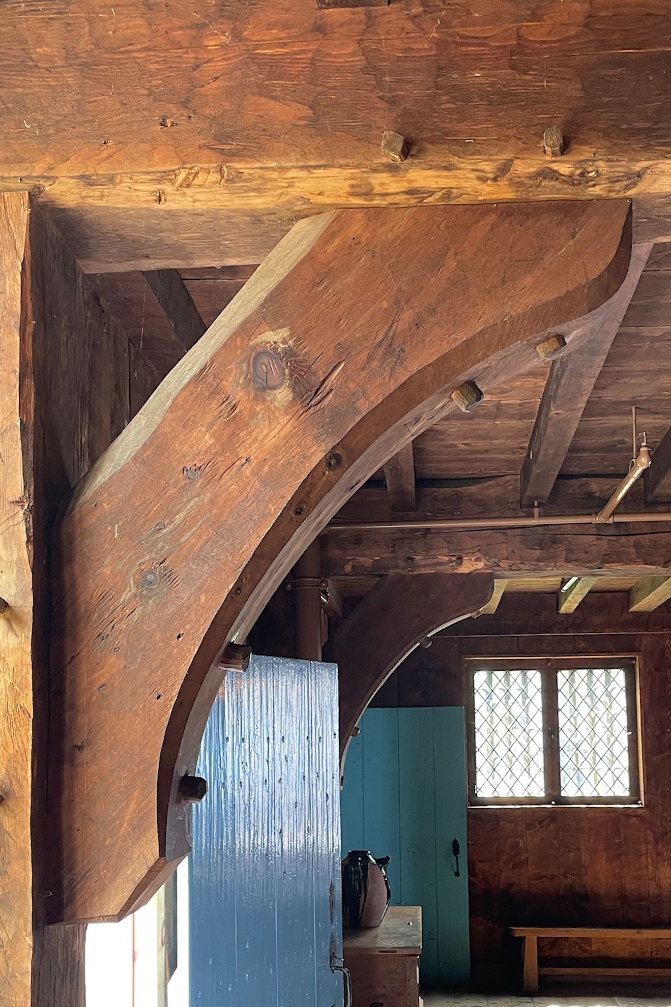
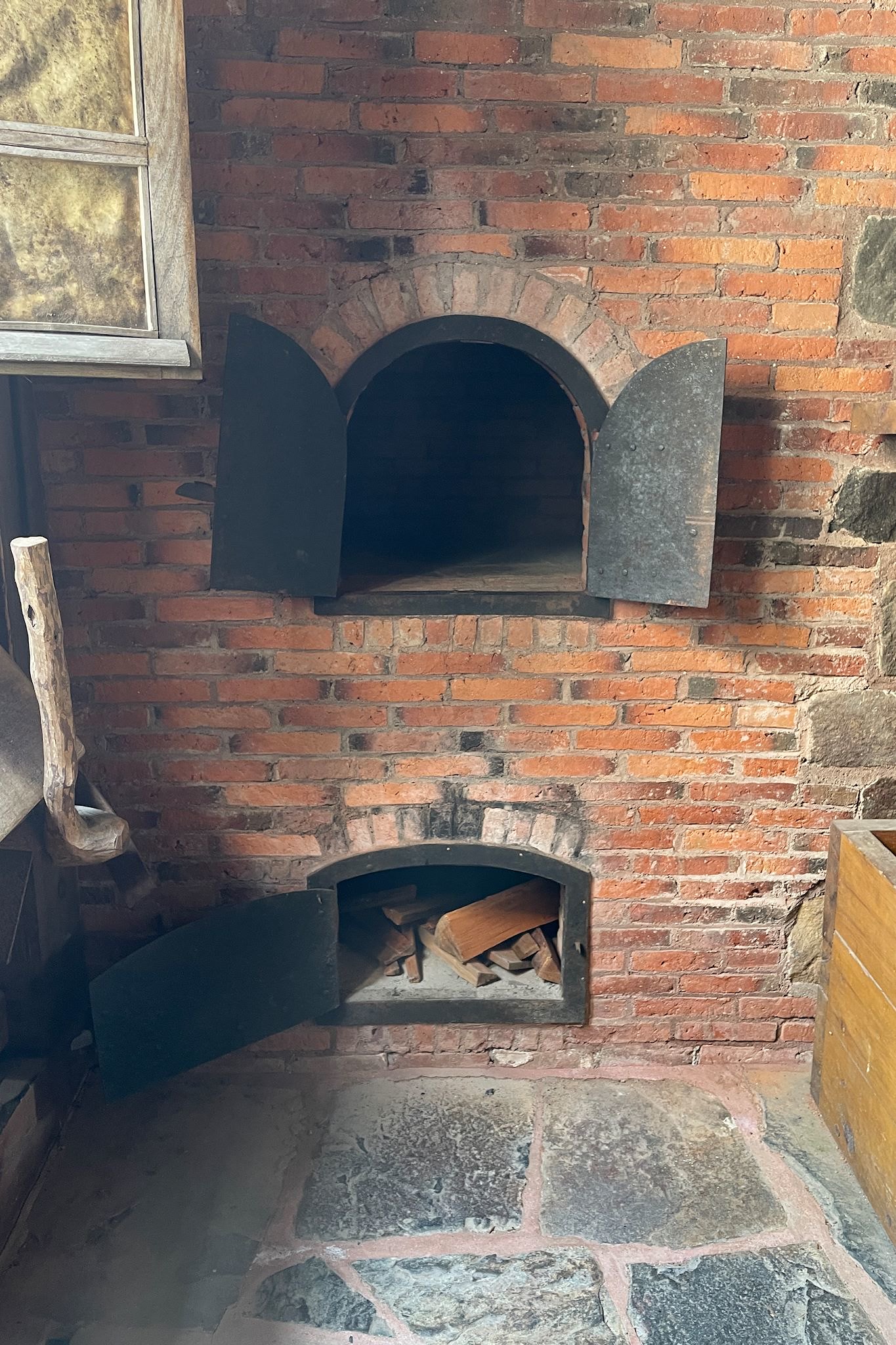
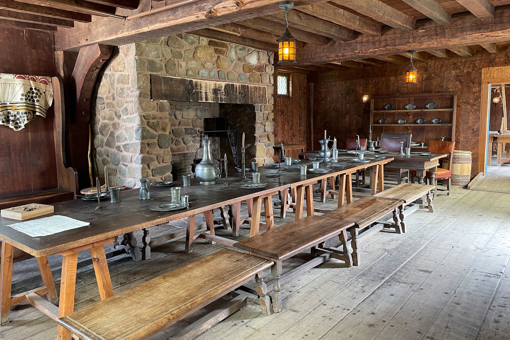
Before winter, skilled craftsmen build the Habitation, a compound housing a communal kitchen, forge, common room, dorms, gentlemen’s quarters, a trading room, a well. The tall wooden structure provided protection from the elements and wild animals, though despite its appearance it wasn’t really a fort. Consider it a gated cooperative community of tiny homes.
By 1607, the community lost its funding due to territorial trading feuds. The original settlers returned to France, and others came and went at various times. In 1613, a British expedition from Virginia came to Port-Royal. They looted the Habitation and burned it to the ground, claiming the land for England.
In the early 1930’s, working with the Canadian government, Harriet Taber Richardson, a historian from Cambridge, Massachusetts, spearheaded the reconstruction using period tools and building (mostly shipbuilding) techniques. The layout of the community was ingenious and the quality of the woodworking was admirable. We couldn’t help taking so many pix!
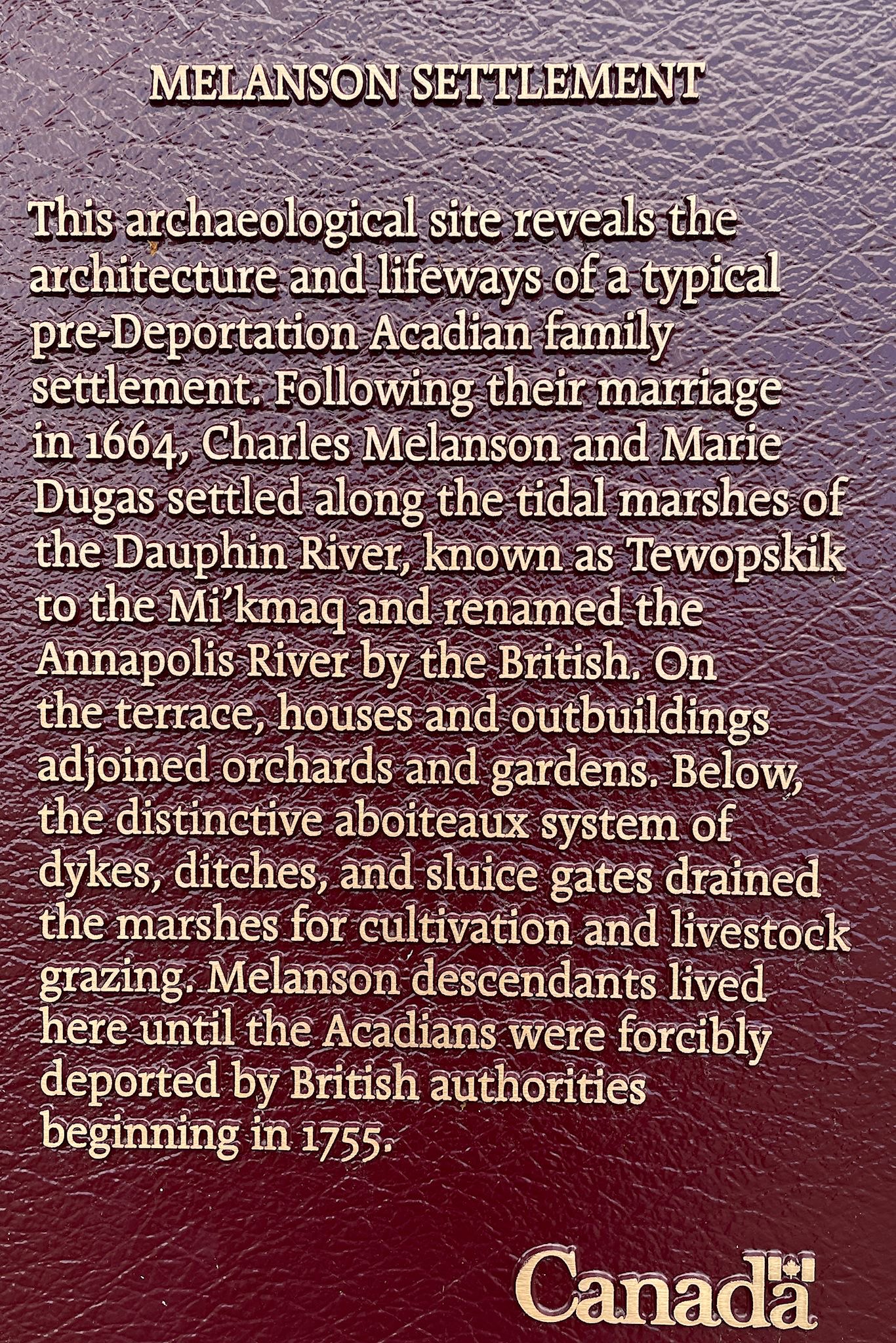
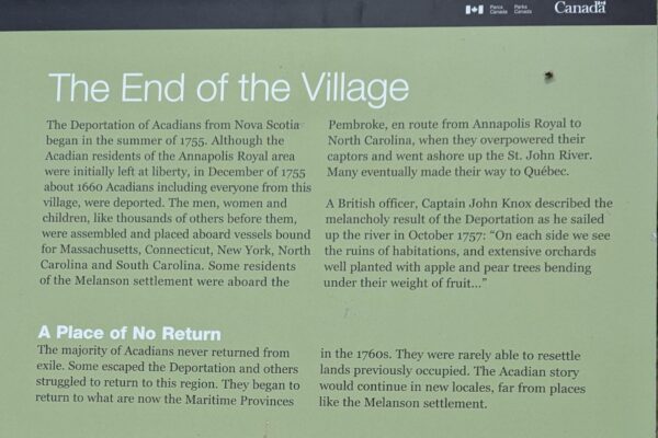
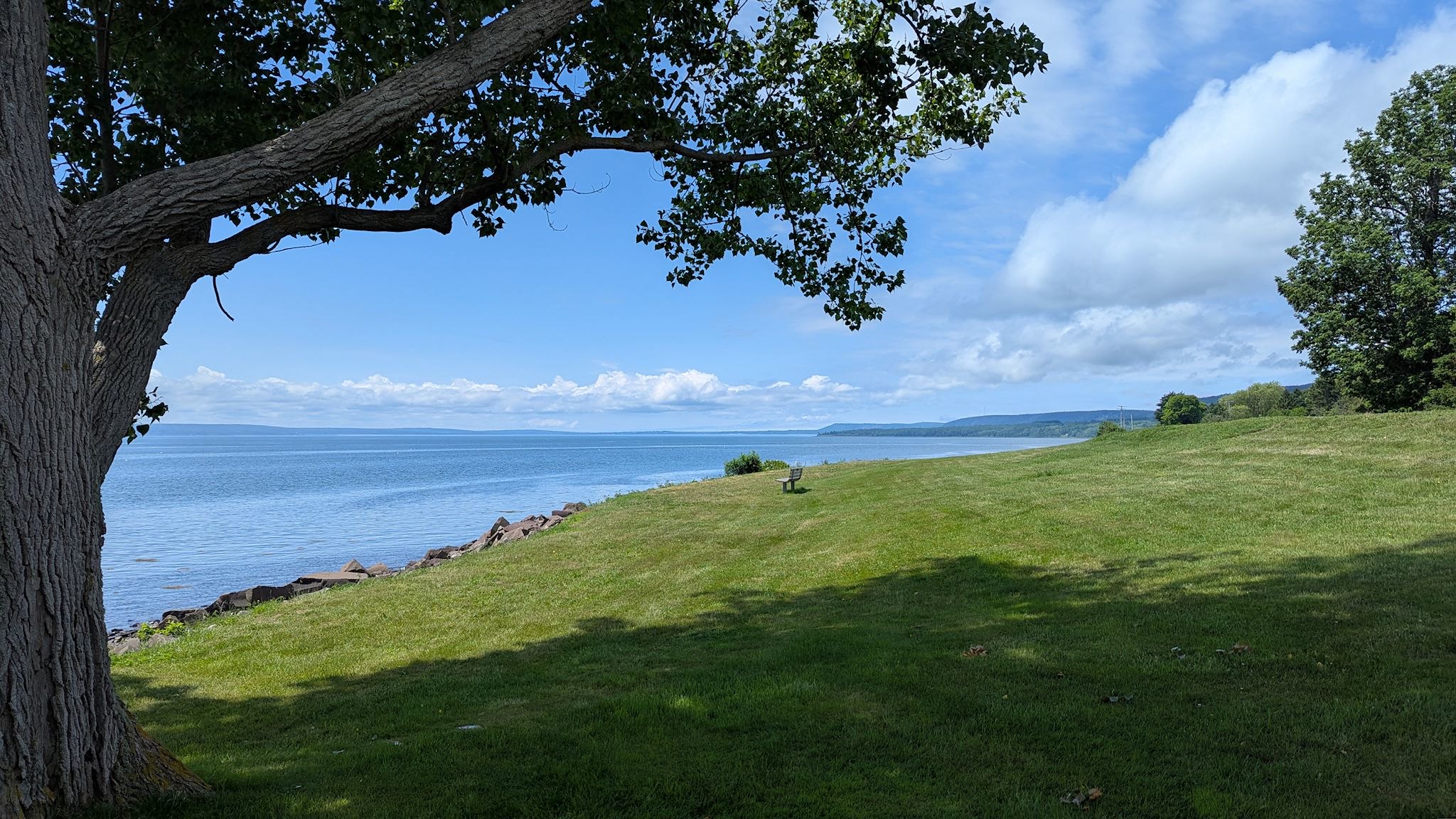
Pleased with our serendipitous finding, we headed back to the Melanson Settlement. Ha! It’s been closed for a year! Much of the former walking tour was overgrown, however the handful of interpretive signs describing the archaeological site remained – including one that suggested we also visit Fort Anne in Port-Royal.
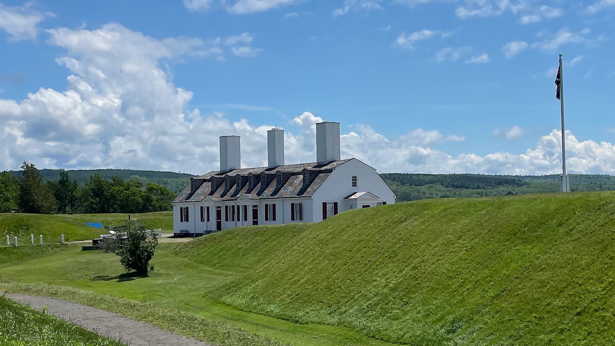
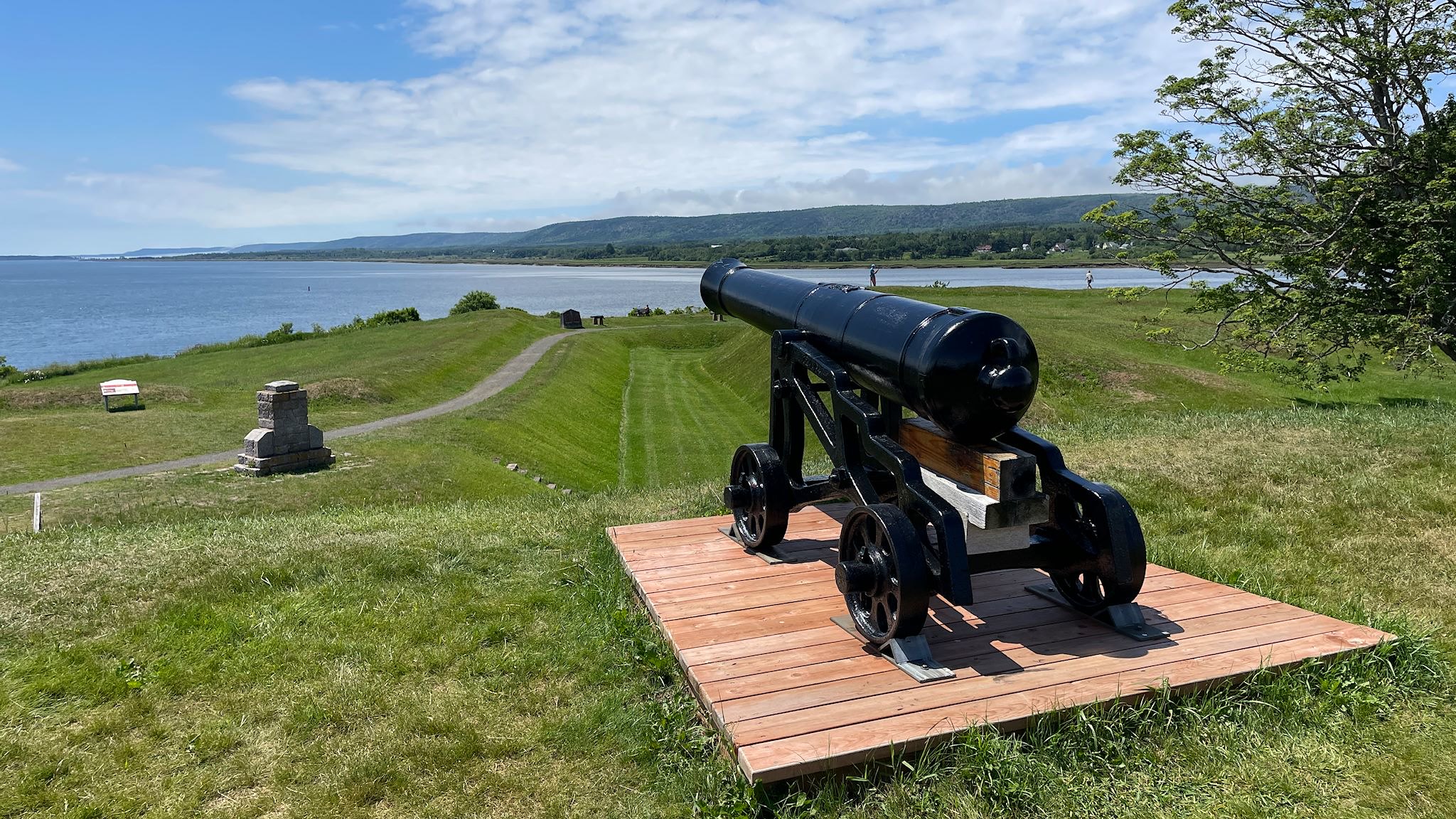
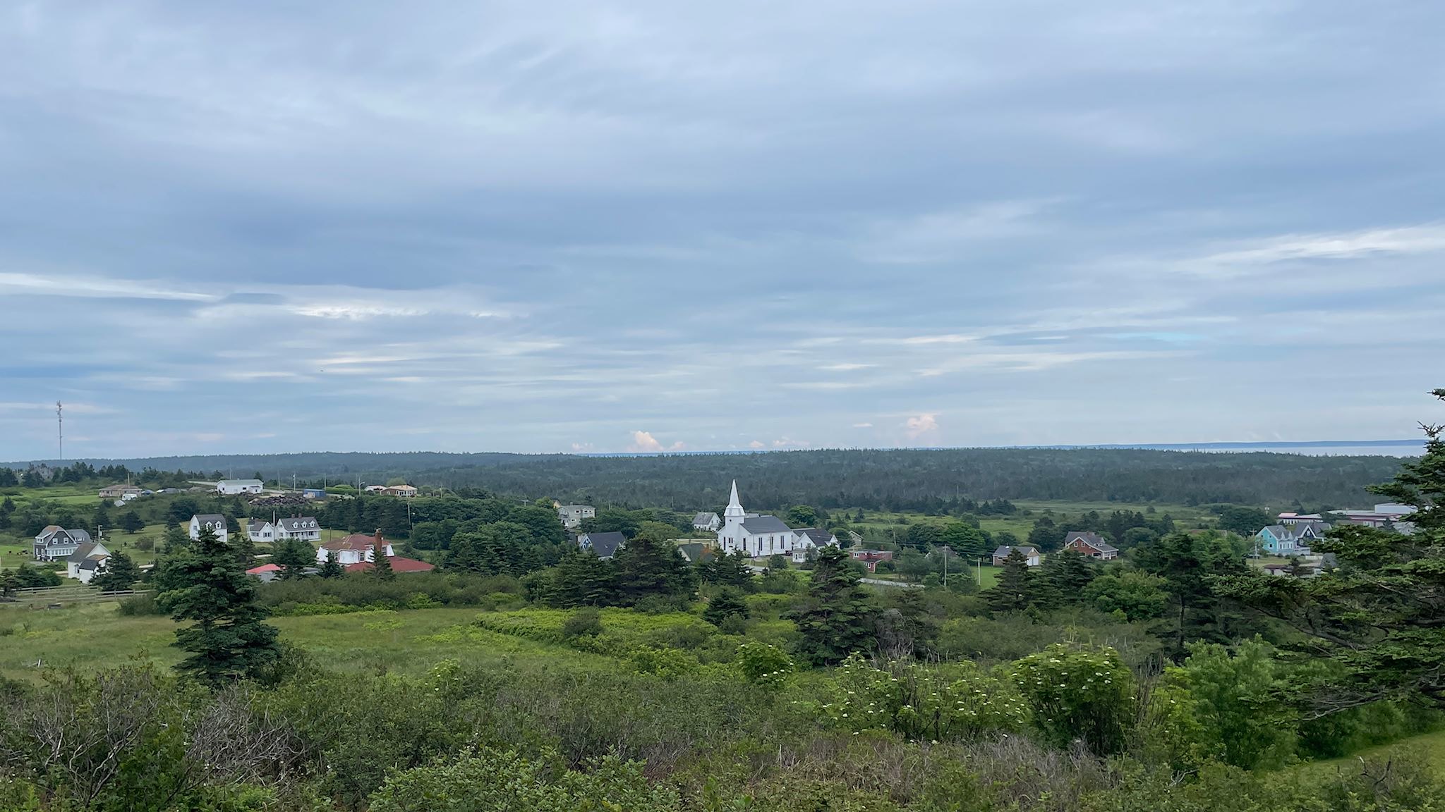
We did stop to see Fort Anne, and we are glad that we did. It was a very different experience from the Habitation. Less tactile. More dense. The Visitor Center at Fort Anne depicted all of the wars and treaties between the French and the British. Between 1654 and 1710, control of Port-Royal changed from British to French 6 times. When it became a permanent English settlement, the name was changed to Fort Anne.
The only structures that remain from the original Fort were the Officers Quarters (now the Visitor Center) and the Powder Magazine for munitions storage. The grounds made for a pleasant stroll and the views of the Annapolis Basin were awesome.
So glad Melanson Settlement was on our map!
For anyone interested, more Balancing Rock, ferry, Whale of a Time camp, Port-Royal Habitation and Fort Anne pix…
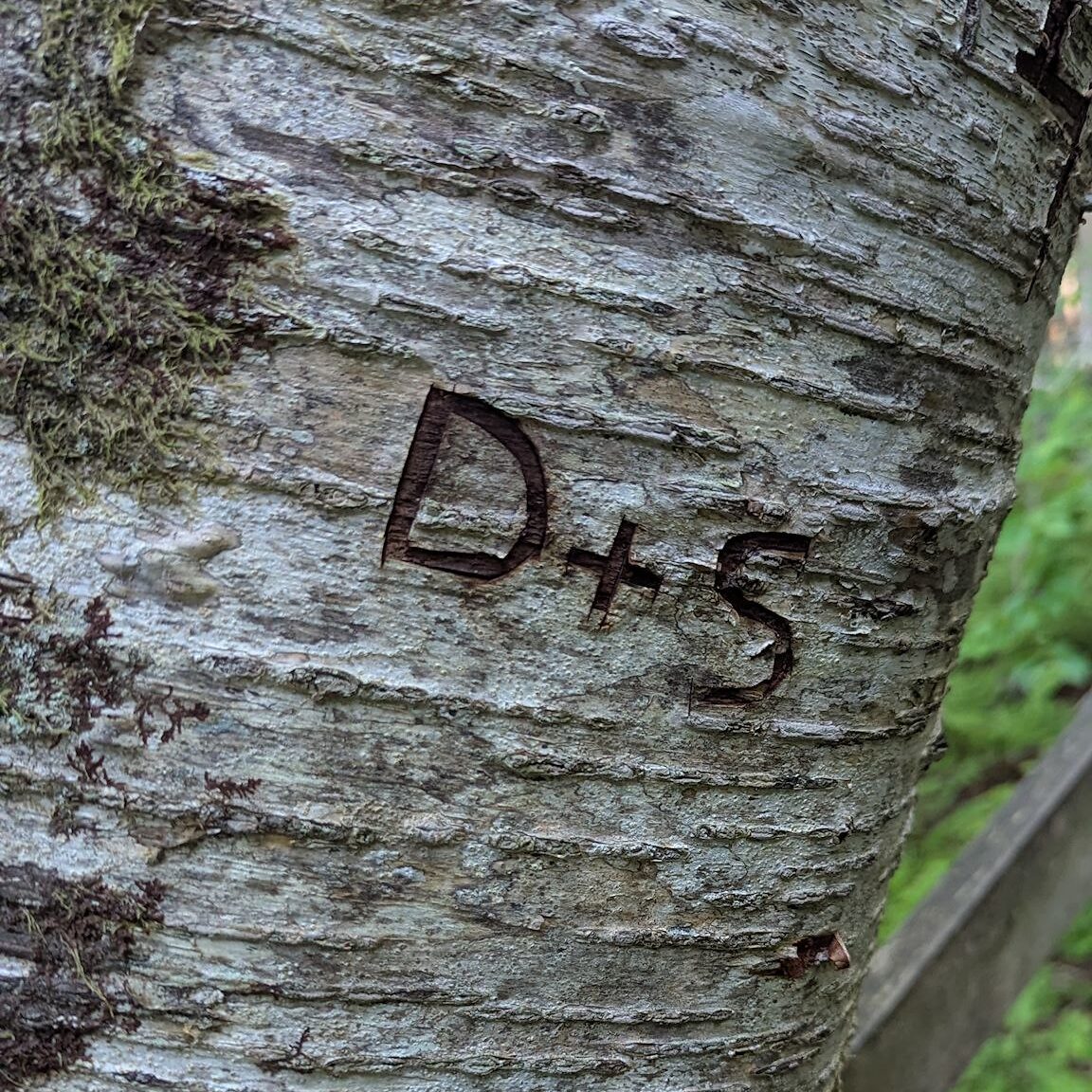
We FOUND this on the trail (it was already there)…