
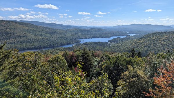
Mont Tremblant National Park is the oldest national park* in Quebec, the 3rd oldest in Canada and the 6th oldest in North America. Created in 1895 as Parc de la Montagne-Tremblante, its original purpose was to ‘conserve’ this beautiful area within the Laurentian Mountains, meaning manage reasonable use of resources like logging, which had been underway since the 1850’s. (This is as opposed to newer national parks’ definition of conservation which is to protect park resources from exploitation.) As a park employee described to us, all of the lakes were flooded in the spring to allow logs cut during the winter to be floated down long chains of lakes to the larger rivers to feed the lumber and pulp mills downstream. This form of logging was destructive to river ecosystems. That, along with the development of modern logging trucks, skidders and rail transport ended the log drives in the 1980’s. The area became officially Mont Tremblant National Park in 2001 with conservation (new definition) as its central focus.
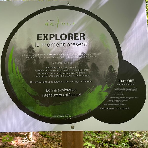
Like most national parks, Mont Tremblant also manages access for the public to enjoy outdoor recreation – hiking, biking, rock climbing, canoeing, cross-country skiing – in an area of natural beauty. The park has within it 400 lakes (!) and 6 major rivers, with 3 major regions/sectors – La Diable, Pimbina-Saint-Donat, and L’Assomption. We explored the first two…
First, French mystery of the week… Nouns in french are either male or female and, when necessary, have male and female forms and use male or female articles. So, for the devil, le diable would be male and la diablesse would be female. Hmmm… all of the signs at Mont Tremblant National Park refer to La Diable. Historical grammatical error? I had to ask… Well, it turns out that the main features of the park are Devil’s River and Devil’s Valley – translation: La Rivière Diable or La Vallée Diable. The female nouns river and valley are assumed when referring to La Diable.
Although it shares the name with the famous Mont Tremblant Ski Resort, the ski area is not included in the national park. Another mystery… for some reason (likely geological), I used to think the name of this park and nearby ski area was Mont Tremblanc with a ‘c’ – so far north it was cold and snowy and white (blanc). Of course, it’s Tremblant with a ‘t’, which in French means trembling. Ok, so why trembling… The indigenous people believed the mountain was filled with spirits and so powerful that it sometimes shook or trembled, and French settlers retained the concept.
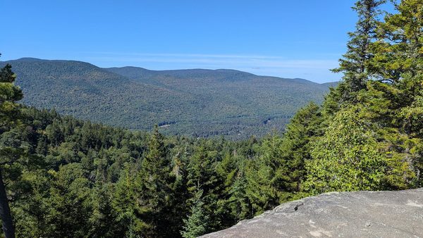
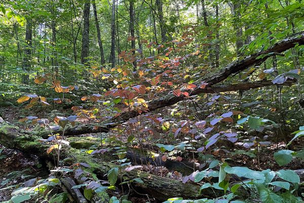
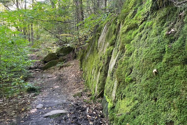
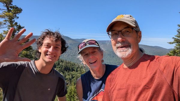
Our first hike in the park was to a ledge with a panoramic view of La Vallée Diable/Devil’s Valley at La Centenaire. The trail had a fun New England feel with short spurts of steep ups and downs that eventually opened up to the gorgeous view. We arrived at the ledge to find a young solo hiker about to have lunch. While chatting over lunch, we learned he was a grad student who had just arrived from France to finish up his degree with one last semester in Montreal. In a strange coincidence, Ronan and Doug are specialists in a similar set of engineering disciplines. My jaw dropped listening to them talk about their technical work in french – it was like listening to a foreign language in a foreign language!
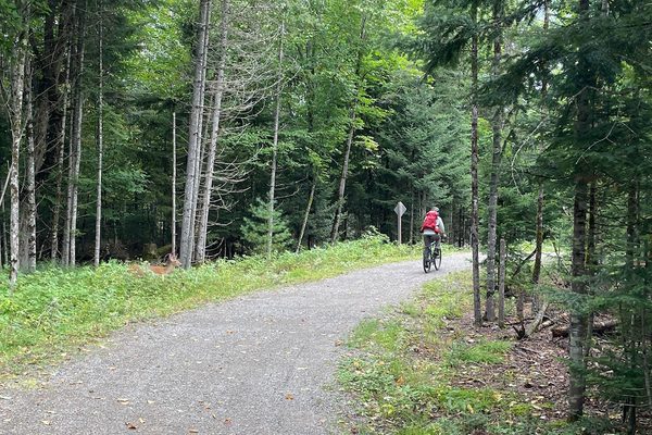
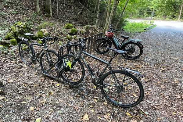
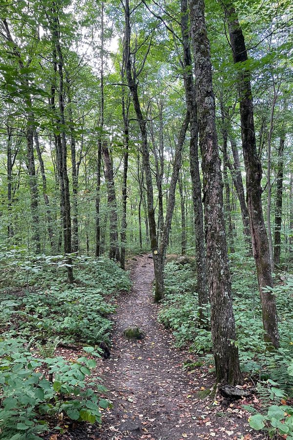
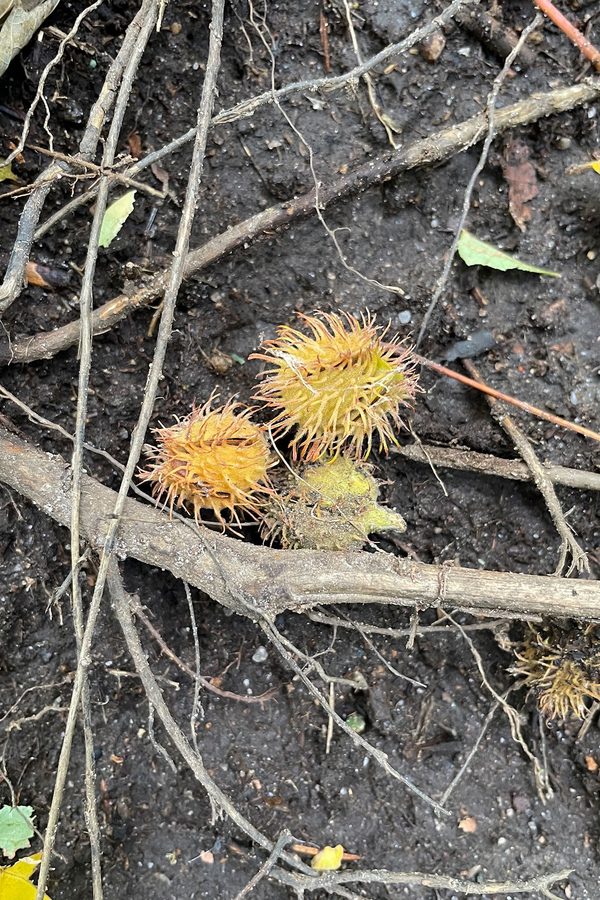
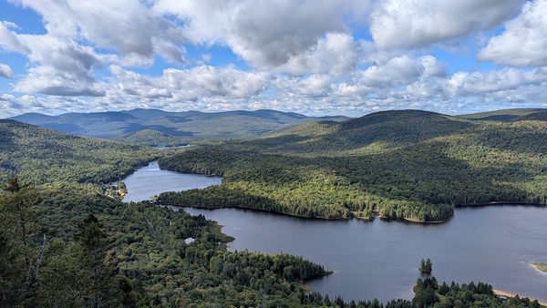
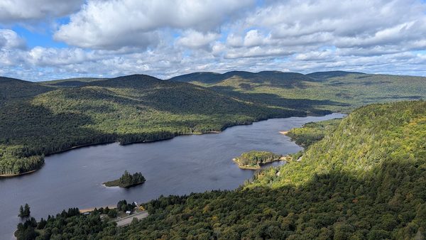
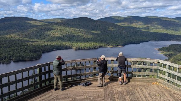
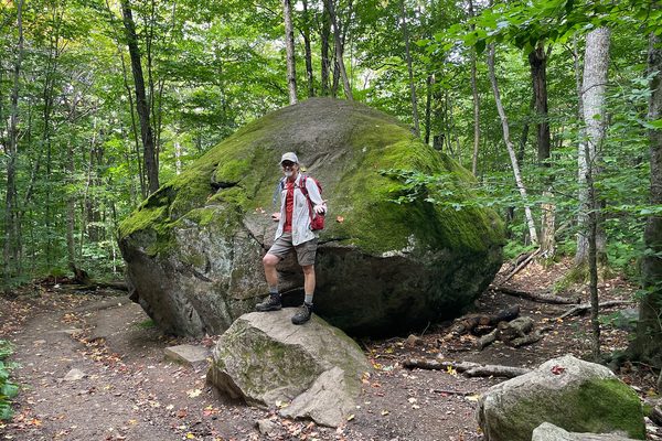
Next up was a combo bike/hike. We left camp early on our bikes following the multi-use path along Lac Monroe/Monroe Lake to the La Roche/The Rock Trailhead. From there, we combined the La Roche, La Coulee/The Ravine and La Corniche/The Cornice trails for a nice long hike promising 2 observation decks with great views. La Roche was mostly up while La Corniche was mostly down. The views from the observation decks provided 2 vantage points over Lac Monroe and La Vallée Diable further north from La Centenaire. In the middle, along La Coulée trail, we realized the forest felt different – we were surrounded by maple trees!** We can only imagine the color splash to come in about 3 weeks. Reason to come back some time in late September! We biked back to camp and celebrated with ice cream.
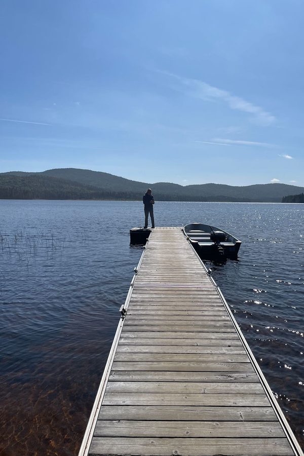
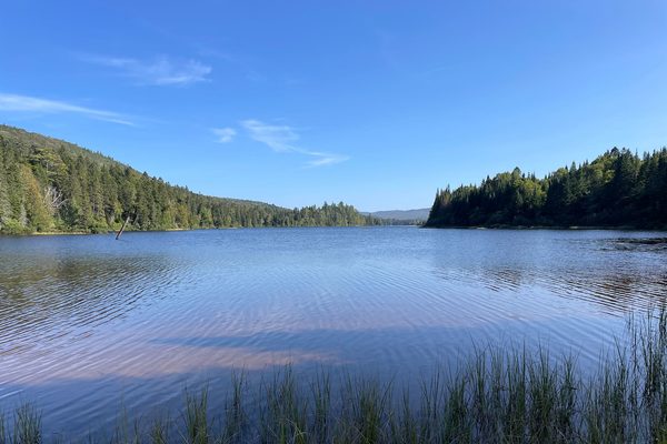
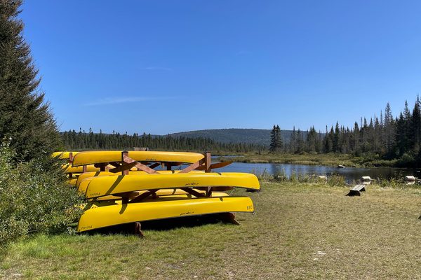
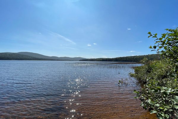
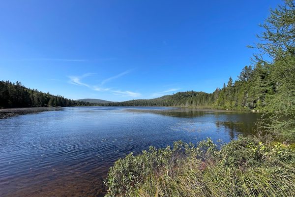
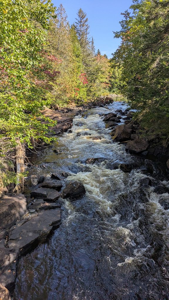
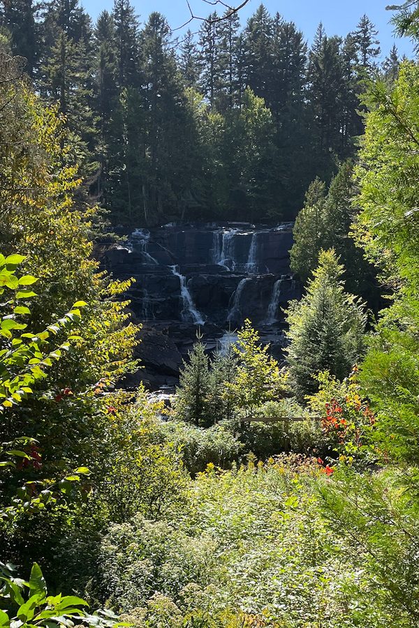
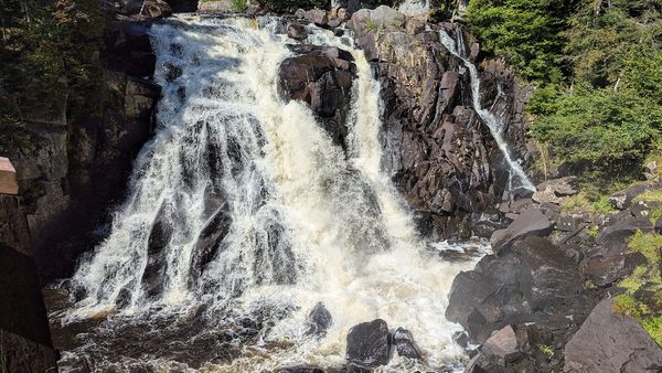
Roads through national parks are often designed to showcase features of the park. Driving the not-really-named road – RT 1 – to get from La Diable to Pimbina-Saint-Donat was equally awesome yet radically different from La Promanade in Mauricie. RT 1 was narrow with no shoulder, mostly unpaved, and offered views of lakes through the trees on either side of the road. We made a handful of stops for short hikes to rugged waterfalls and a few of the lakes. These are some of the lakes in the chain used by the loggers, now a popular route for canoeing excursions. We would deem this road a great road for gravel bikes, after Labor Day, at least – we saw 4 cars in 3 hours.
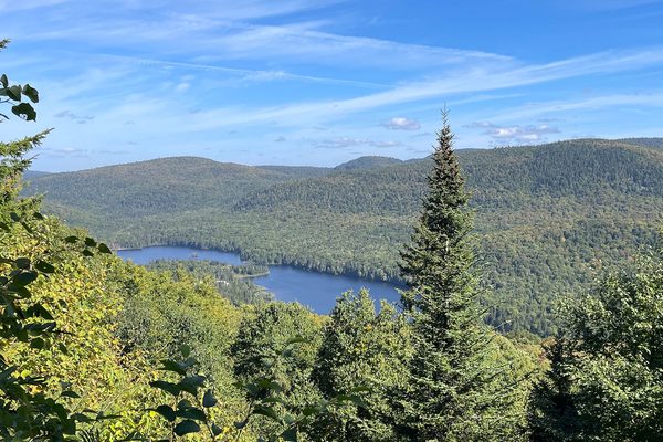
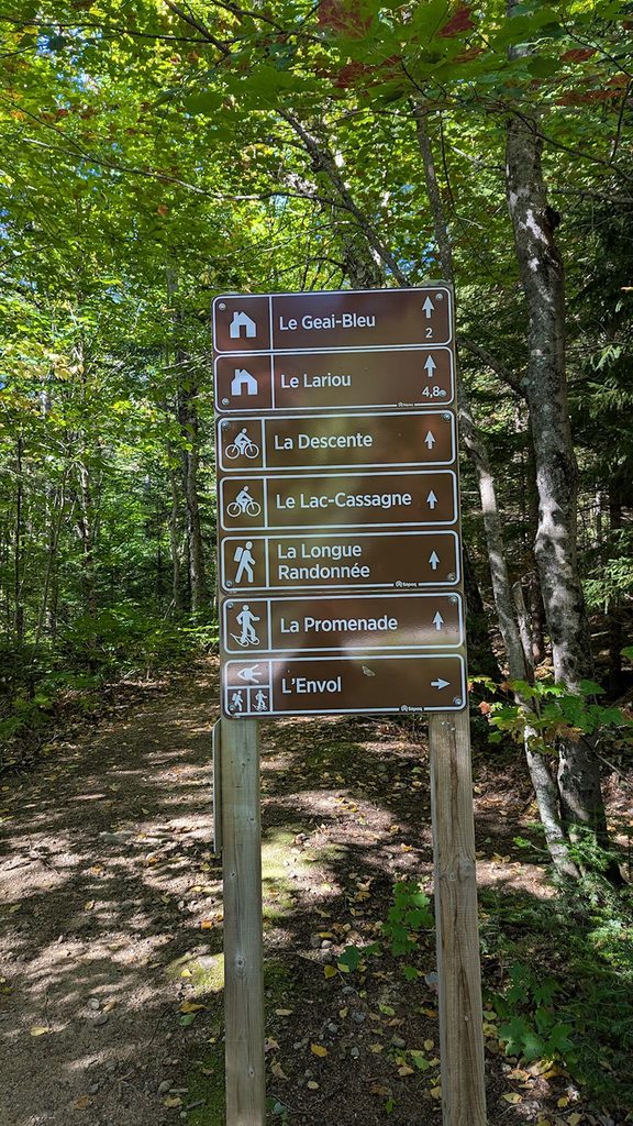
Our last hike in the park and, sadly, possibly our last mountain hike of the season, was to a small peak on a trail with the delightful name of L’Envol/Taking Flight. Views north included our campsite and Lac Provost/Provost Lake. Views to the south were my favorite of the park – long views of a chain of lakes starting with Lac Provost, where you could imagine the logs floating down the chain in the spring (Disclaimer: I grew up in the heart of logging country in NH…). On our return, we realized just how much of the park was active for nordic skiing and snowshoeing in the winter – numerous trails were closed until it snowed! Another reason to come back in the future…
For anyone interested, more Le Centenaire, La Roche/La Coulée/La Corniche hike/bike, driving across the park and L’Envol hike pix…
* Confused? As described in the Jacques Cartier NP post, the definition of ‘national’ in Quebec is different that in the rest of Canada.
** Maple trees are those that turn the brightest shades of red during foliage season in New England and Eastern Canada.