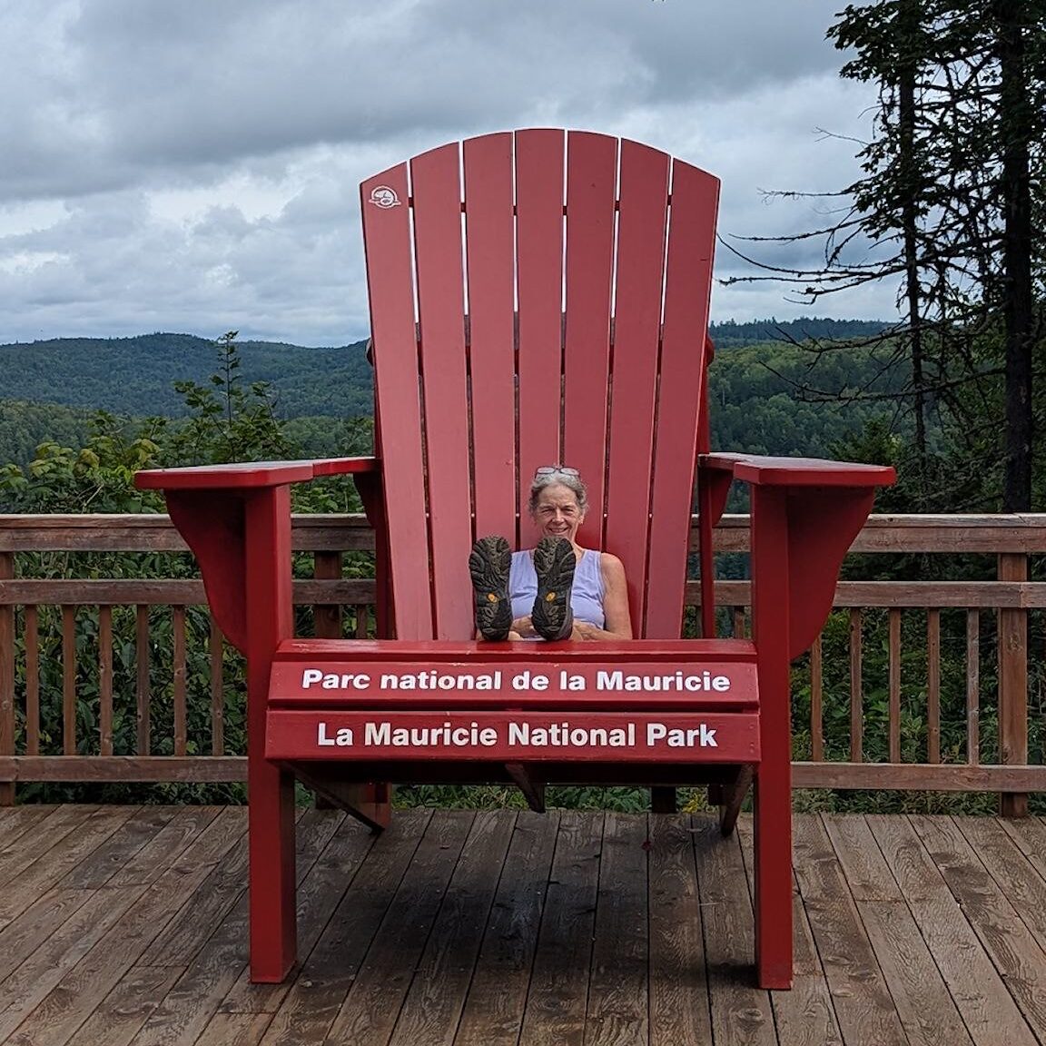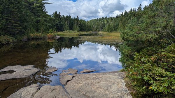
As Jacques Cartier National Park was all about protecting the river, Mauricie National Park is all about protecting the lakes. Yup, 150 of them…
In 1970, a group of people persuaded the Quebec provincial and Canadian federal government to set aside the area feeding the Saint Maurice River (aka Mauricie) and create a national protected area. The goal was to protect the area as well as to enable people to enjoy the great outdoors. Much work was done to build trails, roads and campgrounds. In 1977, La Mauricie became the 22nd Canadian national park and Quebec’s 2nd contribution to the Parks Canada system.
Since then, the park has continued to develop and evolve. Today, there are 168 k/68 mi of hiking trails and 64 k /40 mi of multiuse gravel trails. The 64 k/40 mi paved Parkway, recommended for bicycling, connects both ends of the park with multiple viewpoints along the way. And, as we might expect, there is a vast network of canoe trails, including maintained portages, and over 130 campsites across 12 lakes, all accessible only by canoe.
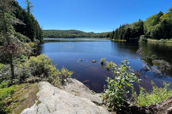
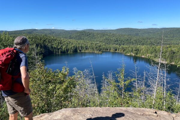
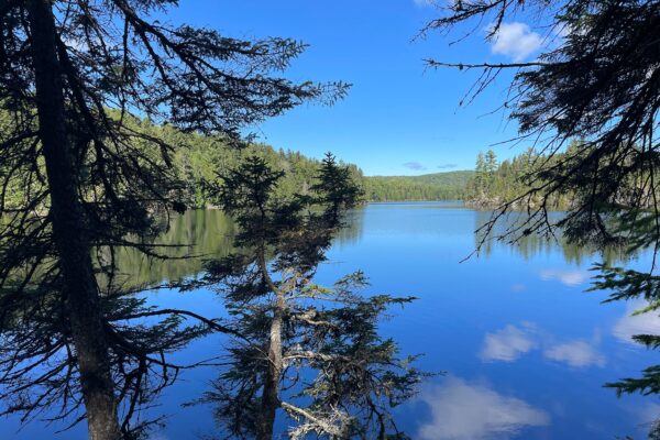
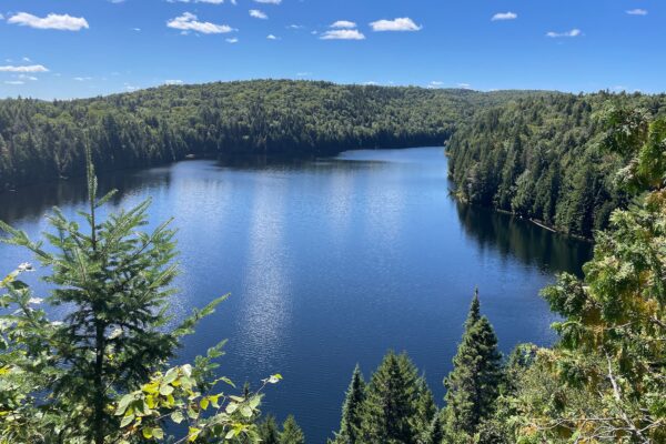
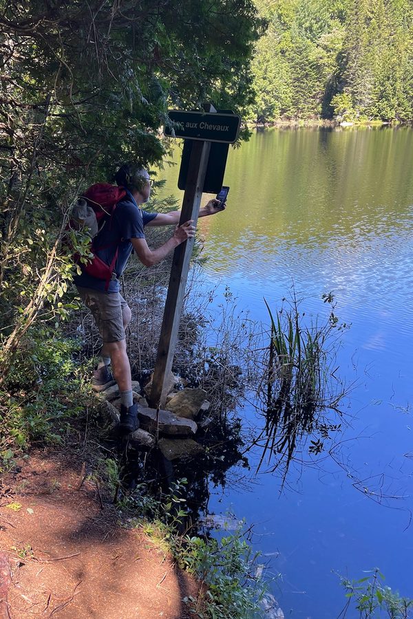
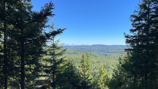
Let’s take a look at some of those lakes! We started our Mauricie adventures with a hiking loop that combined 3 trails to 3 different lakes on a primo weather day. After a quick climb with glimpses of the Mauricie River, we made our way to a giant cliff overlooking Lac Solitaire/Solitary Lake. Gorgeous! We climbed down to the lake level, then up and over toward Lac aux Chevaux/Lake of the Horses. The trail hugged the edge of lake with little views between the trees, until we reached the head of the lake where the view opened up.
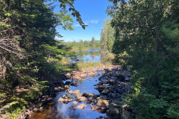
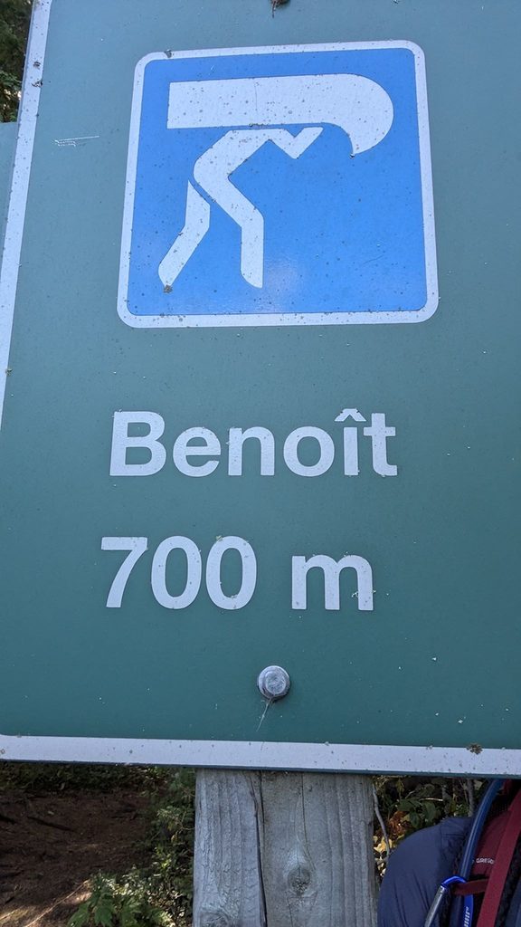
Of course, we couldn’t pass up a short extra credit loop to add another lake to our day (like peak-bagging, with less altitude). Another set of cliffs overlooking Lac Benoit/Benoit Lake was the perfect spot for lunch. After a pleasant descent surrounded by ferns, mosses and cliffs, we started to catch glimpses of Pimbina Lake. On the map, Pimbina looks like 2 lakes, however up close and personal it’s actually 1 lake shaped like an hourglass (or a Barbie doll!) with a thin little waist between the 2 main parts of the lake. Crossing a bridge, we realized we were over the source of Lac Bouchard/Bouchard Lake. From there, the hike out was filled with beavers, beaver dams, rock cascades, wildlife (ok, butterflies…) and little waterfalls. A good day for exploring 5 lakes!
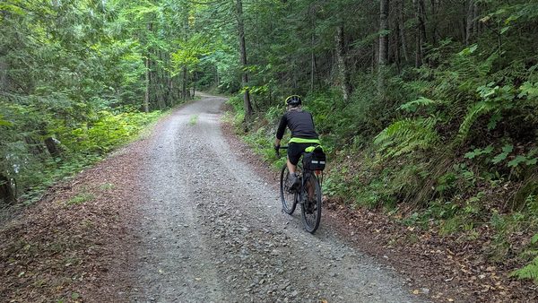
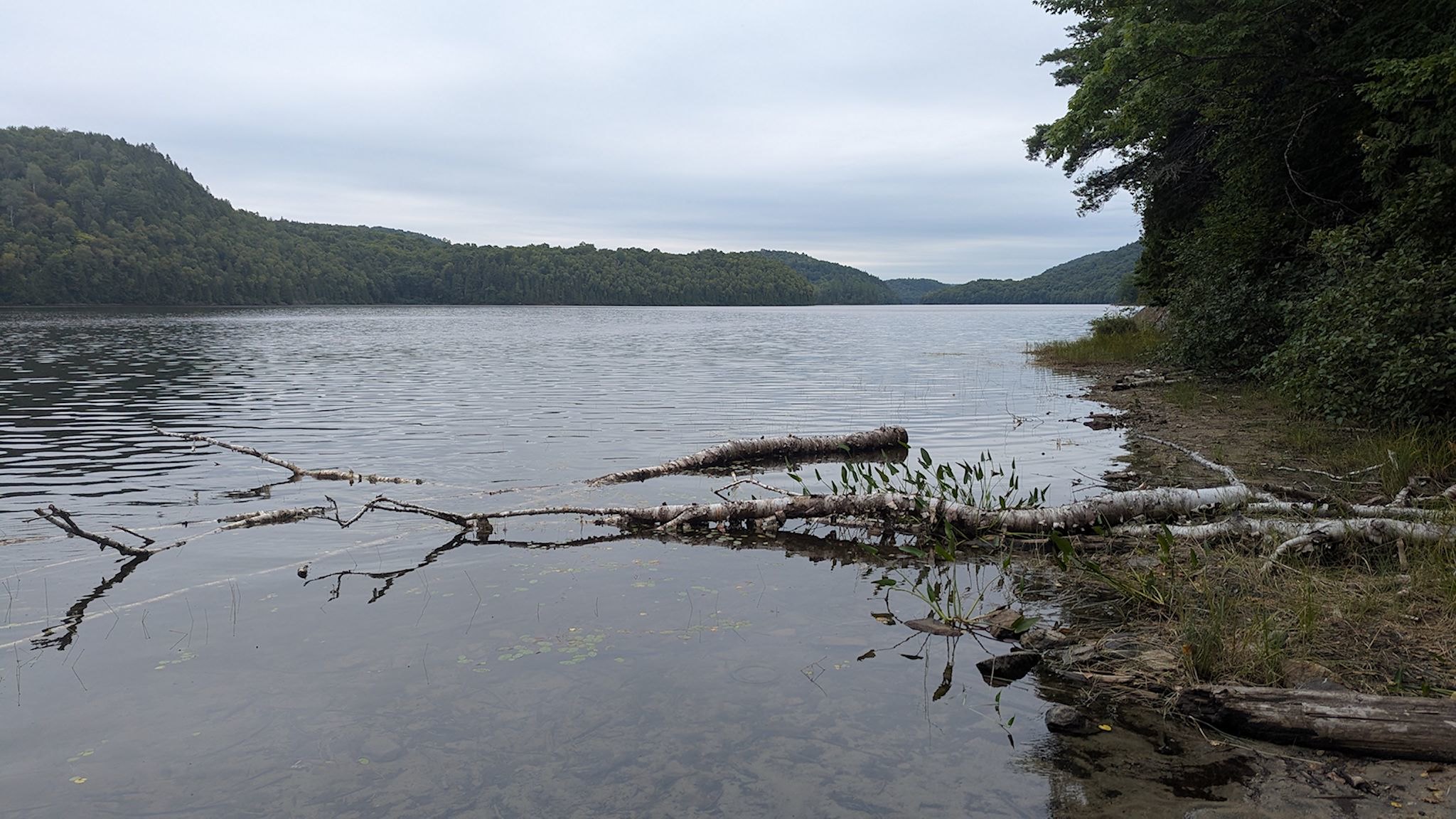
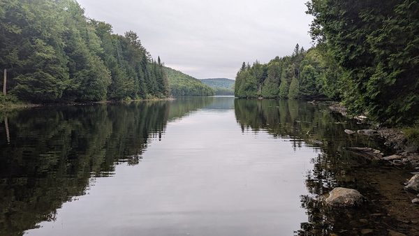
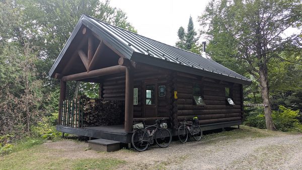
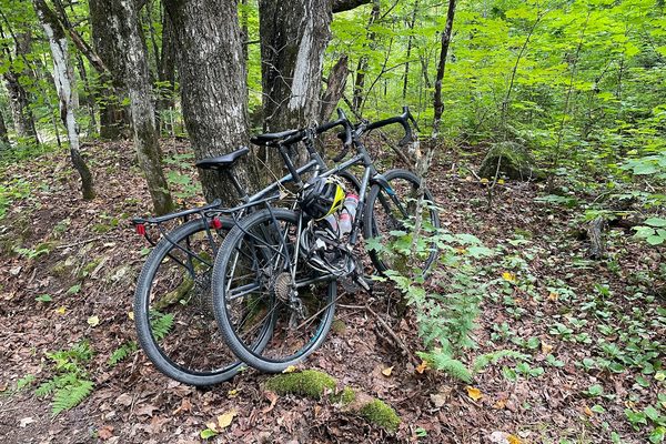
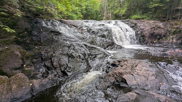
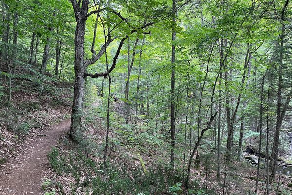
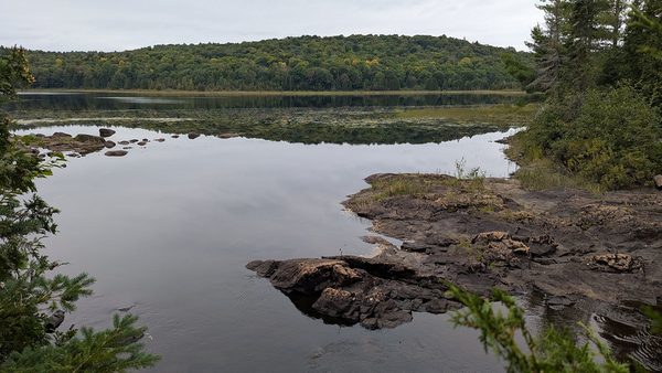
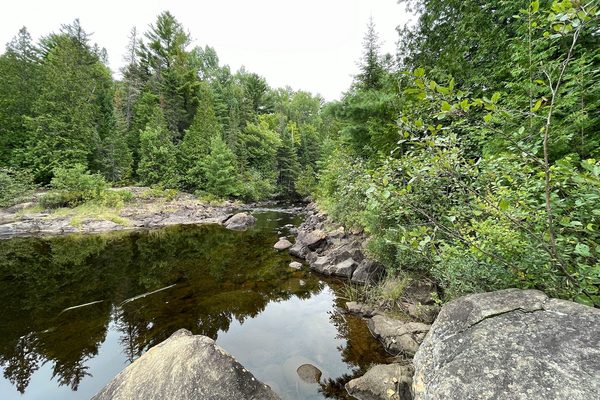
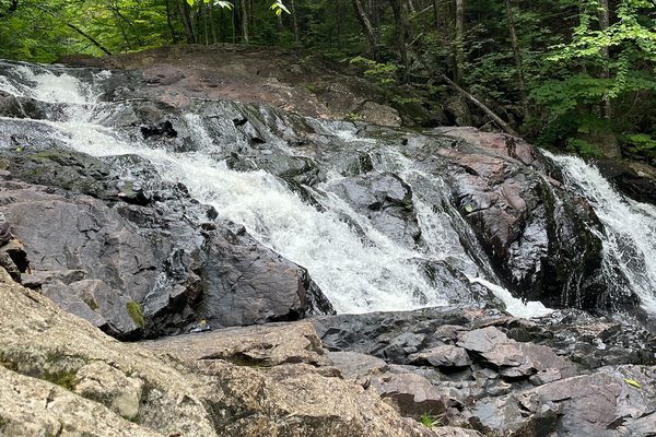
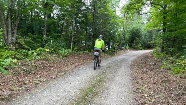
Mauricie offers some great itineraries for canoes and also for biking. There is a network of gravel bike trails (nordic ski trails in winter) that is amazing. On a day where the afternoon weather was less than 100% awesome, we took a bike/hike to Chutes Parker/Parker Falls. The speed of the bikes allowed us to explore a very different area of the park and see 3 more lakes on the way. The well-maintained gravel multiuse path was just about perfect for our gravel bikes (although there were a few sections where I missed my full suspension mountain bike). At the far end of the trail, we took a hike along Rivière Parker/Parker River that brought us past 2 delightful waterfalls and up to Lac Parker/Parker Lake. Having somewhat reawakened our mountain biking skills, the bike ride back was quick – and the rain held off until about 7.5 minutes after we got back to camp.
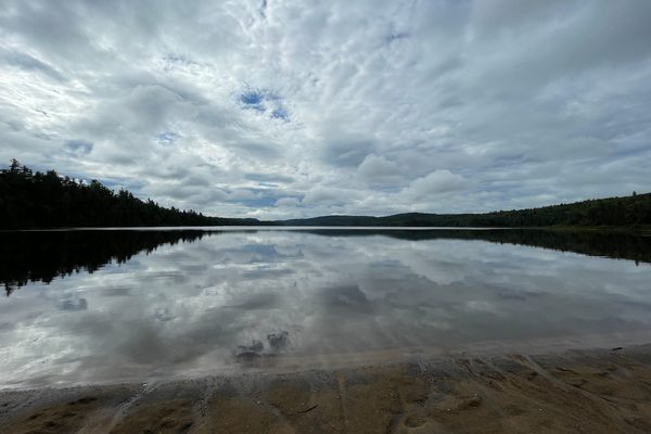
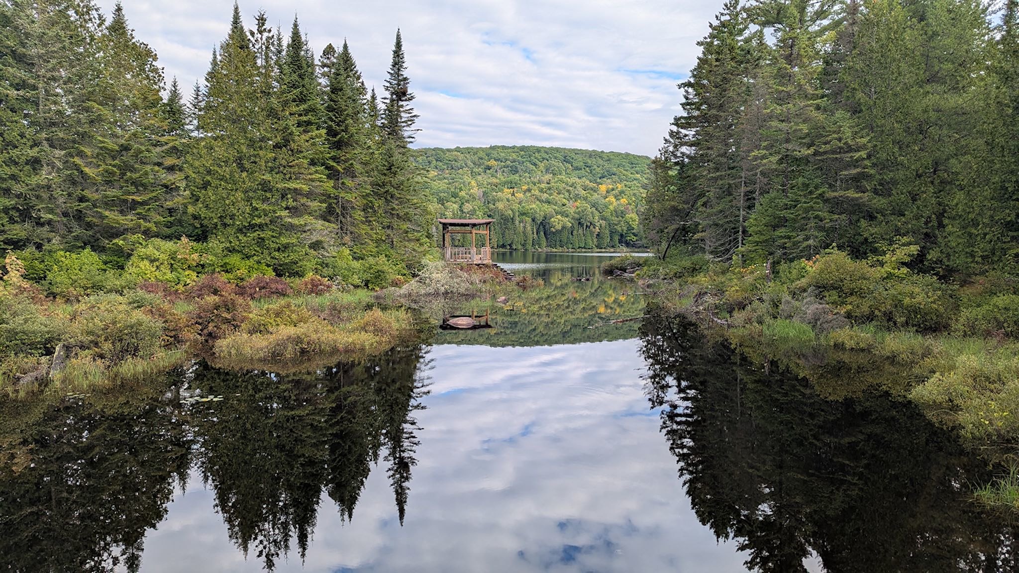
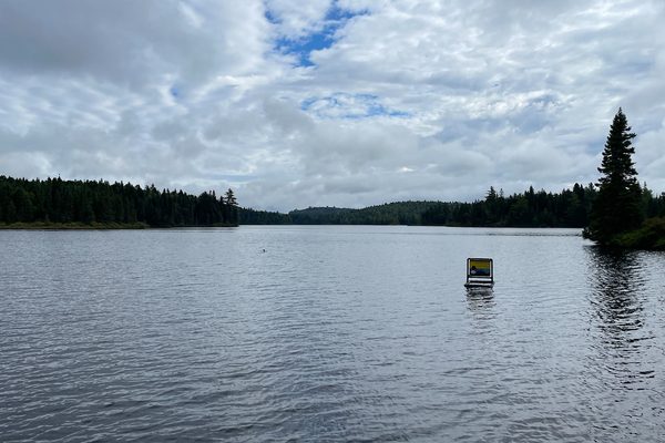
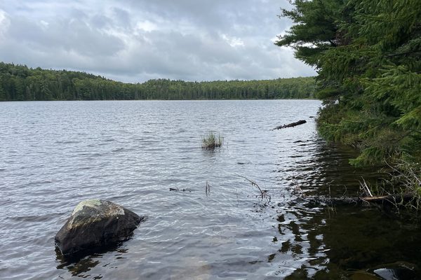
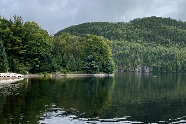
We couldn’t resist a trail combo on the far side of the park that put together two loops called Les Falaises/The Cliffs and Les Cascades/The Cascades into sort of a figure-8 loop past lakes, rivers, and waterfalls. On our last day in the park, we drove the 64 k /40 mi La Promenade de Mauricie/Mauricie Parkway which took us to about a dozen more places to view more lakes(!) enroute to our trailhead on the other side of the park. It’s a great road for bicycling – nice wide shoulders the whole way.
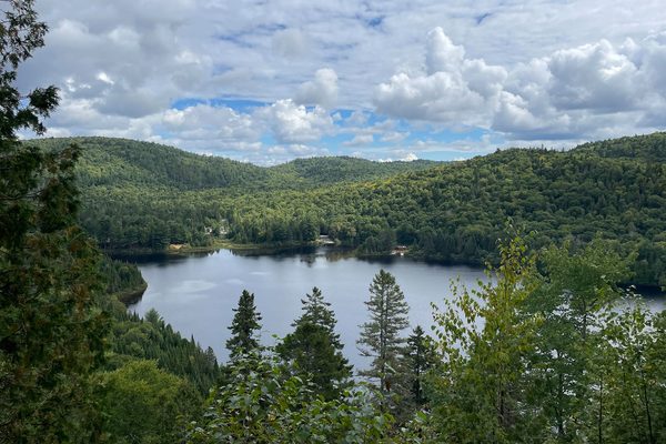
The forecast we checked in the morning was for partly sunny with 10% chance of rain around lunch time. Perfect! By the time we arrived at Les Falaises trailhead, the forecast had changed to 70% chance of rain the rest of the afternoon. Hmmmm… That sounded ominous, however it didn’t look that threatening, and it was our last day in the park. We took a look at the map and planned a strategy with critical points where we could turn around if things turned ugly and take a shorter route back.
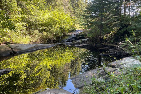
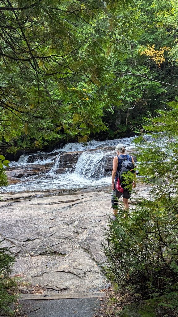
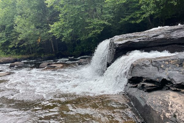
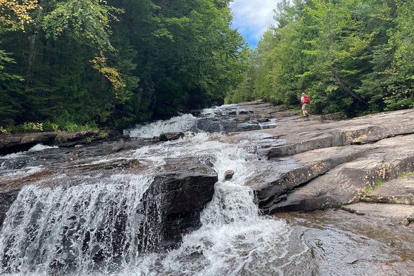
We enjoyed Les Falaises hike, traveling along the wooded cliffs with occasional views of the Wapizagonke Lake, under mostly sunny skies. At the last possible decision point, still with mostly partly sunny skies, we decided in favor of our extra-credit loop – Les Cascades. The trail descended to Le Ruisseau du Caribou/Caribou Stream where a giant rock bed turned the stream into a series of cascades just before it fed into the lake. Like little kids, we had to climb all over the rocks and check out all the different angles for pix. The return trip through the forest was uneventful. The now-mostly-cloudy skies held until we got back into the truck, and then about 67 seconds more before starting to rain. Another lucky Day!
For anyone interested, more Pimbina hike, Chutes Parker bike/hike, Parkway and Les Failaises/Les Cascades hike pix…
*For those who don’t know, we live in the Mad River Valley in Vermont…