
North? We’re getting somewhere! Winnipeg, in southeastern Manitoba, is north of the northernmost point we visited in North Ontario. The province considers anything north of the 53rd parallel North Manitoba, and describes it as ‘a vast untamed wilderness’ which sounds like our kinda place. So from Winnipeg, we headed north…

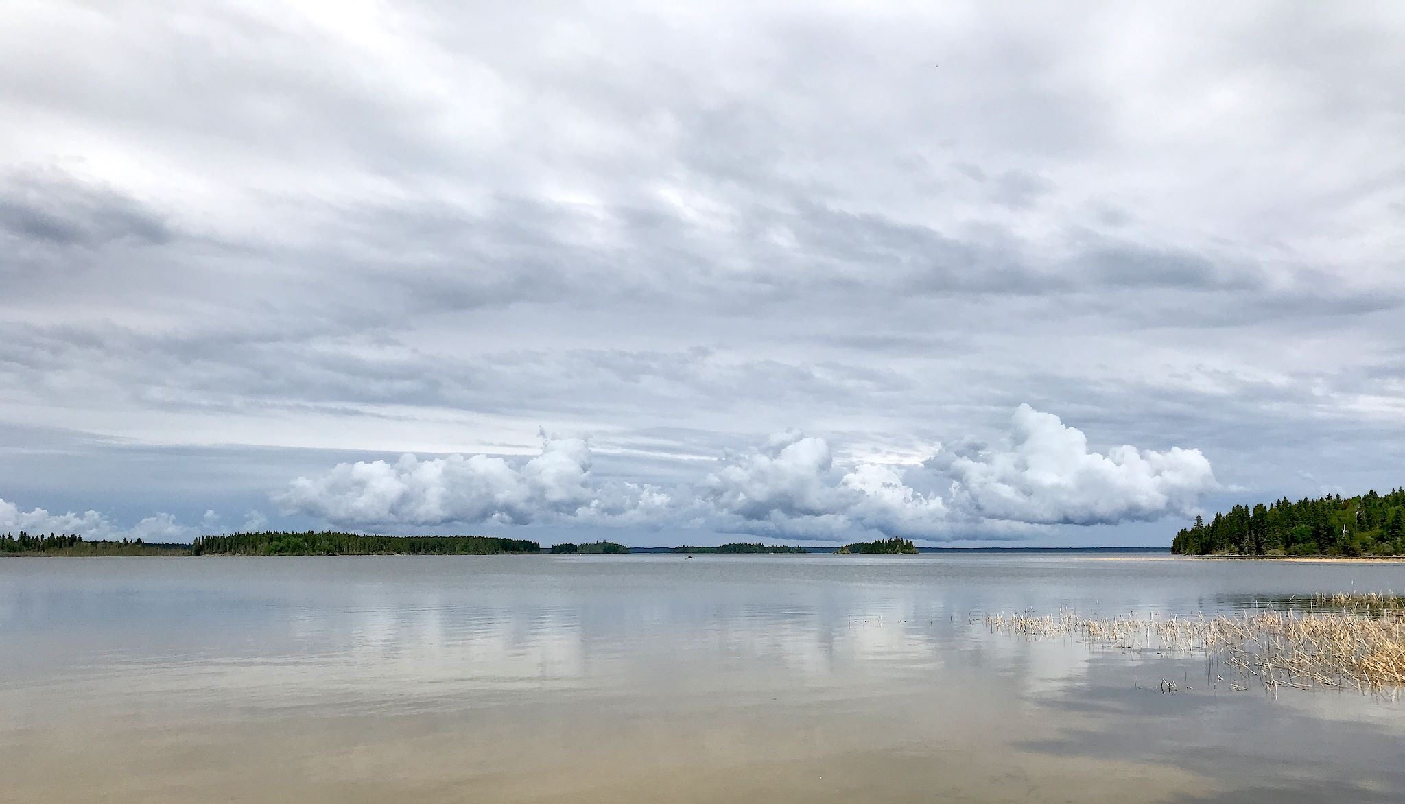
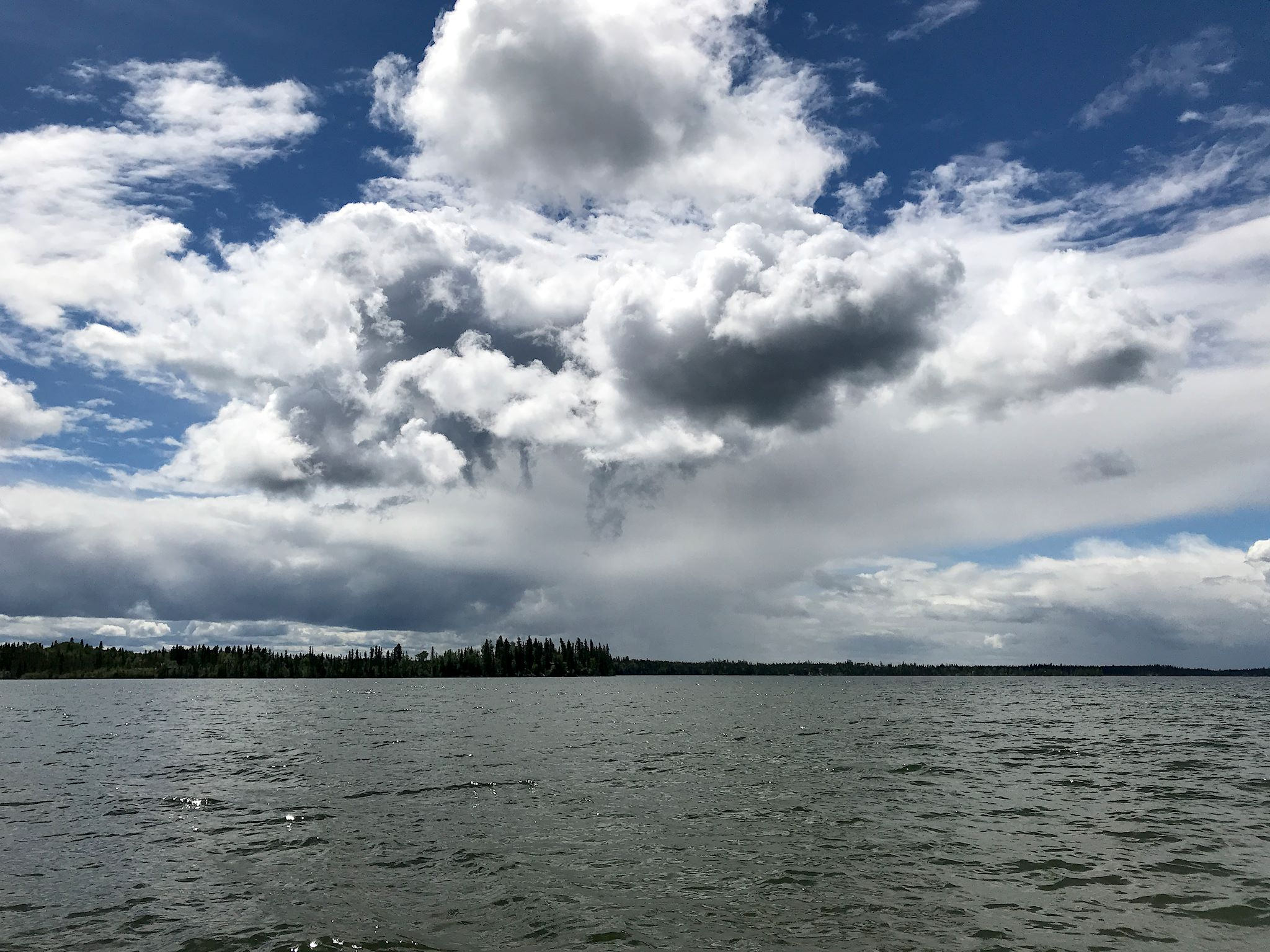
After driving though the relatively flat boreal forest common throughout the Manitoba Lowlands and passing through a handful of small towns along the way, we found ourselves above the 53rd. We’d hoped to camp near one of the large lakes characteristic of the region. We found Hobbs Resort and landed a campsite right on Cedar Lake. Gorgeous view! Don’t think golf when you get to a ‘resort’ in these parts. Hobbs was a hunting and fishing resort. We were the only campers without our own fishing boat, and the only ones not up at 7am in the rain to go fishing. We learned most of our fellow campers were long-term regulars. The fishing and the guides are that good.
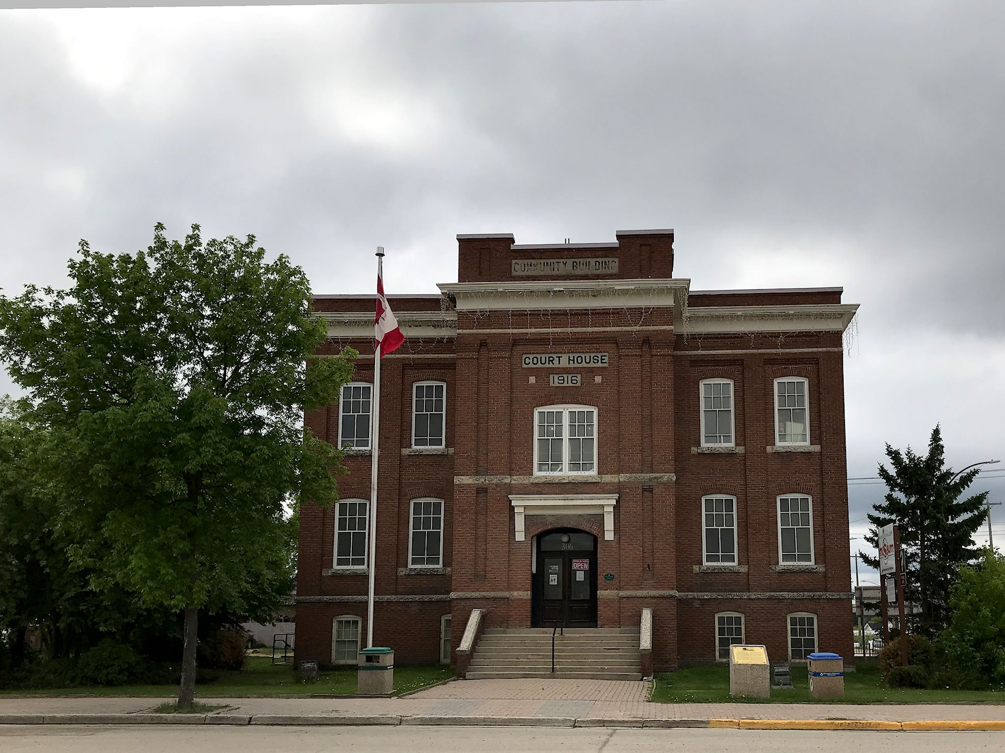
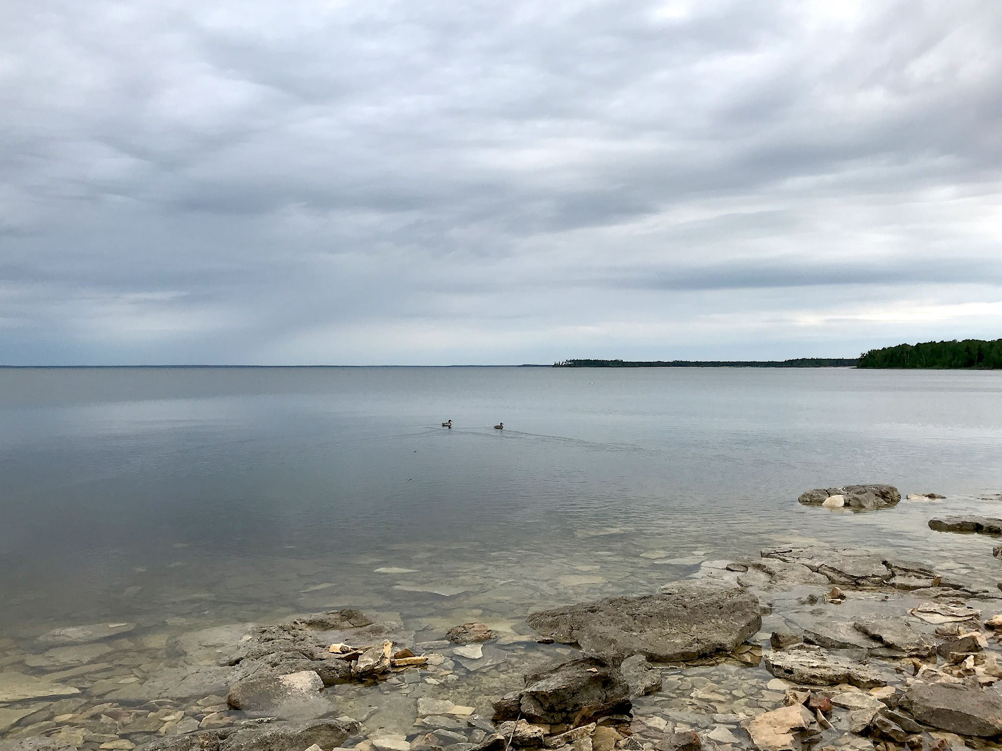
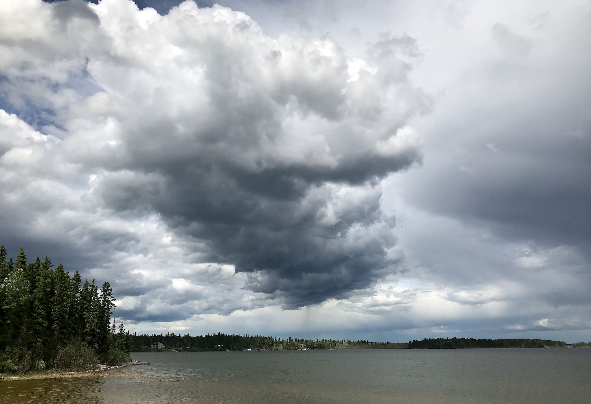
The Pas (pronounced Paw) is a small town (pop 5,500) with a great collection of the area’s history which we found well preserved in the Sam Waller Museum. Like most towns in the area, it was originally on the fur traders’ routes and since the early 1900’s it has served as a center for mining, fishing, lumber and tourism. Just outside town is the Clearwater Lake Provincial Park featuring a gorgeous, clear, clean lake. With great fishing. Ours was again one of the few campsites without a boat.
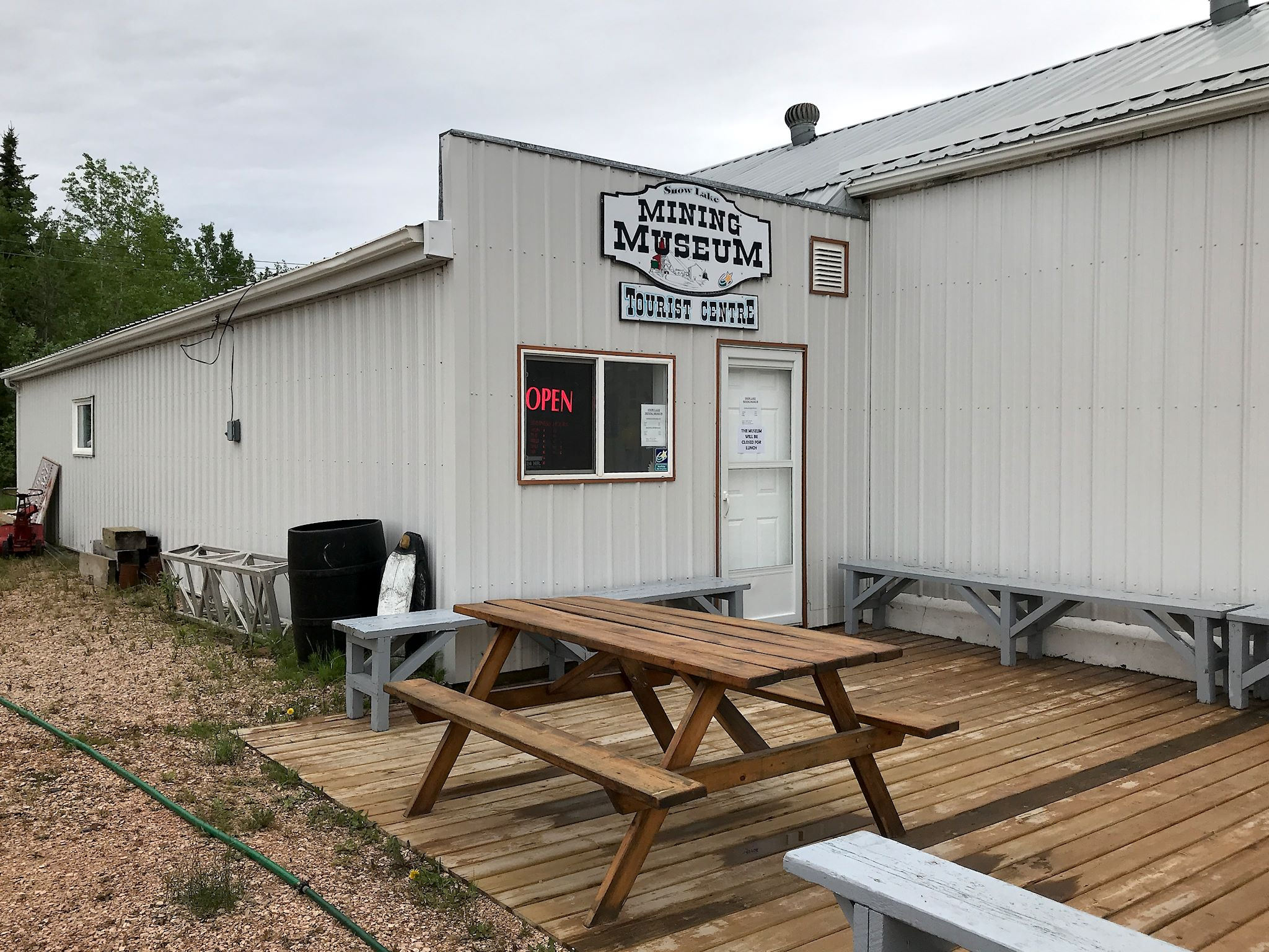
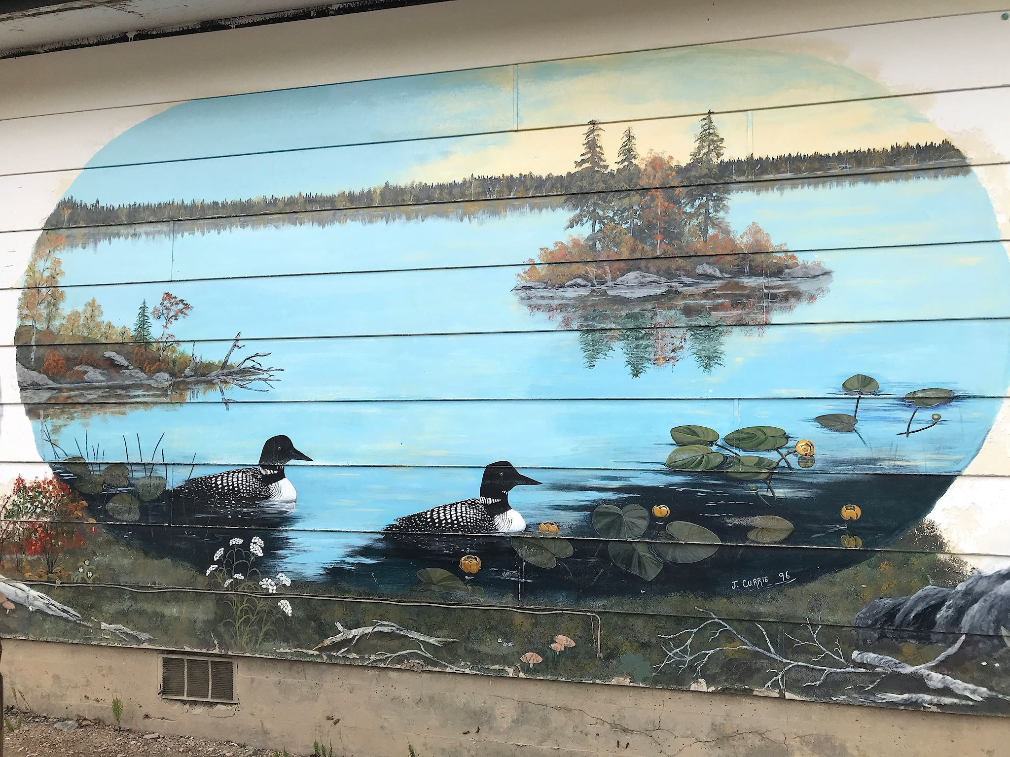
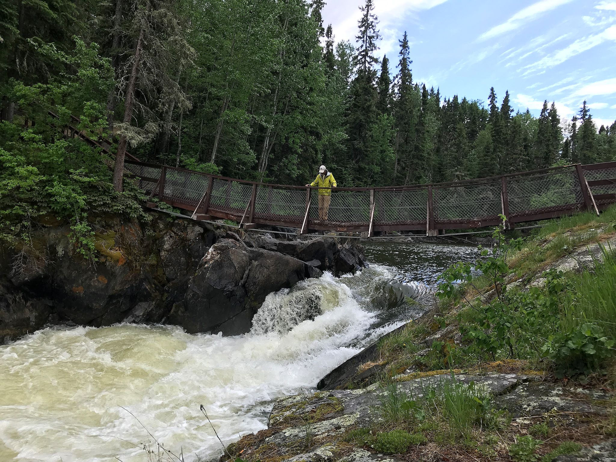
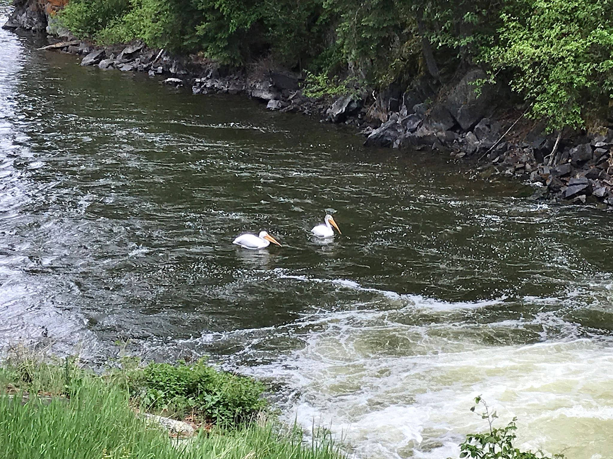
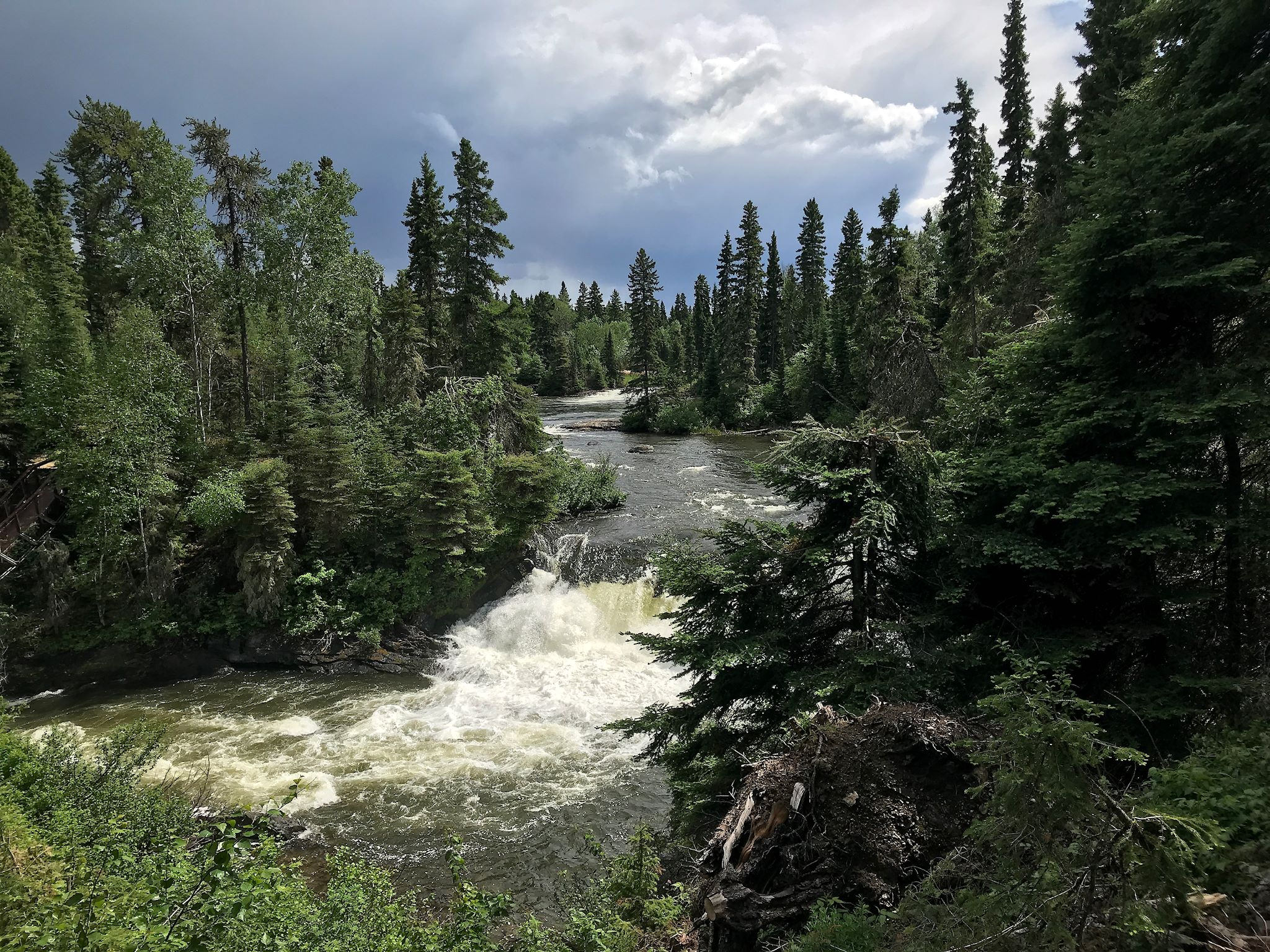
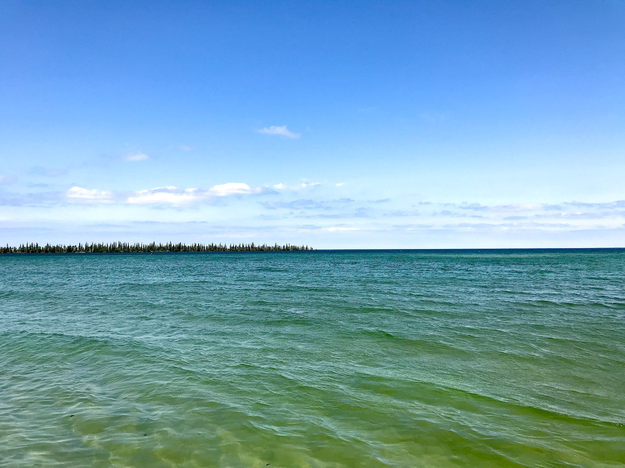
Some folks suggested we might visit Snow Lake (pop 800) a bit further north. Paved out and back. Smaller lake. Small, one-industry town – mining, not fishing. During the drive, the terrain started to change a bit. We were back onto the Canadian Shield. We poked around the Mining Museum and learned of the richness and variety of the minerals mined from the Shield as well as the long history of safety efforts and strategic planning to extract minerals with minimal impact on the environment. After a walk through town, we headed for nearby Wekusko Provincial Park, promising hiking trails and a waterfall. On the border of the Canadian Shield and the Manitoba Lowlands, the Grass River drops about 12 meters (35 feet) in 2 falls and a series of rapids to form Wekusko Lake. The short wooded hiking trails were pretty with great views of the lake, falls, pelicans and ducks. Once again, we were the only campers without a boat. We talked with a few fellow campers who said the fishing in Wekusko Lake was great.

At another local museum in Cranberry Portage (pop 570), we learned that a lake in these parts is not just a lake. Bunches of lakes connect through channels and rivers forming lake systems with transportation routes dating back to the 1600’s. Traders (and current day canoeists) moved from one lake system to another, aiming for short portages. The town of Cranberry Portage was built along the 3 km (1.8 mi) portage between Lake Athapapuskow (which connected to the Saskatchewan River system starting at the base of the Rockies) and Cranberry Lake (which connected to Grass River and the Hudson Bay). I asked the museum manager about industries in the town. She replied most of the people worked at a regional school that supported local and First Nation students. A couple worked at the coffee shop and hardware store. I asked about fishing. Oh, great fishing here!
Although we’re truly enjoying exploring northern Manitoba, we are a bit like fish out of water (pun intended). This is hard core, awesome fishing country. We don’t fish. We mostly hike. Doug likened it to ice fishermen showing up in our Vermont ski town in mid-winter. We’ve got 3 great ski resorts and lots of snow, but no place to drop a line.
For those who are interested, more Grand Rapids, The Pas, Snow Lake and Cranberry Portage pix…