
We love Northwest Territories and have thoroughly enjoyed our travels here, and we hope that sentiment has come through in our 3 prior posts. In those, we’ve included observations and thoughts about diversity, friendly people, great music, interesting small towns, and a unique city. This post includes a few more of our thoughts about the Northwest Territories and a few noteworthy things that didn’t make it into any of the other three. We did a post kind of like a year ago in Utah that we called “the space between.” This is in that same spirit.
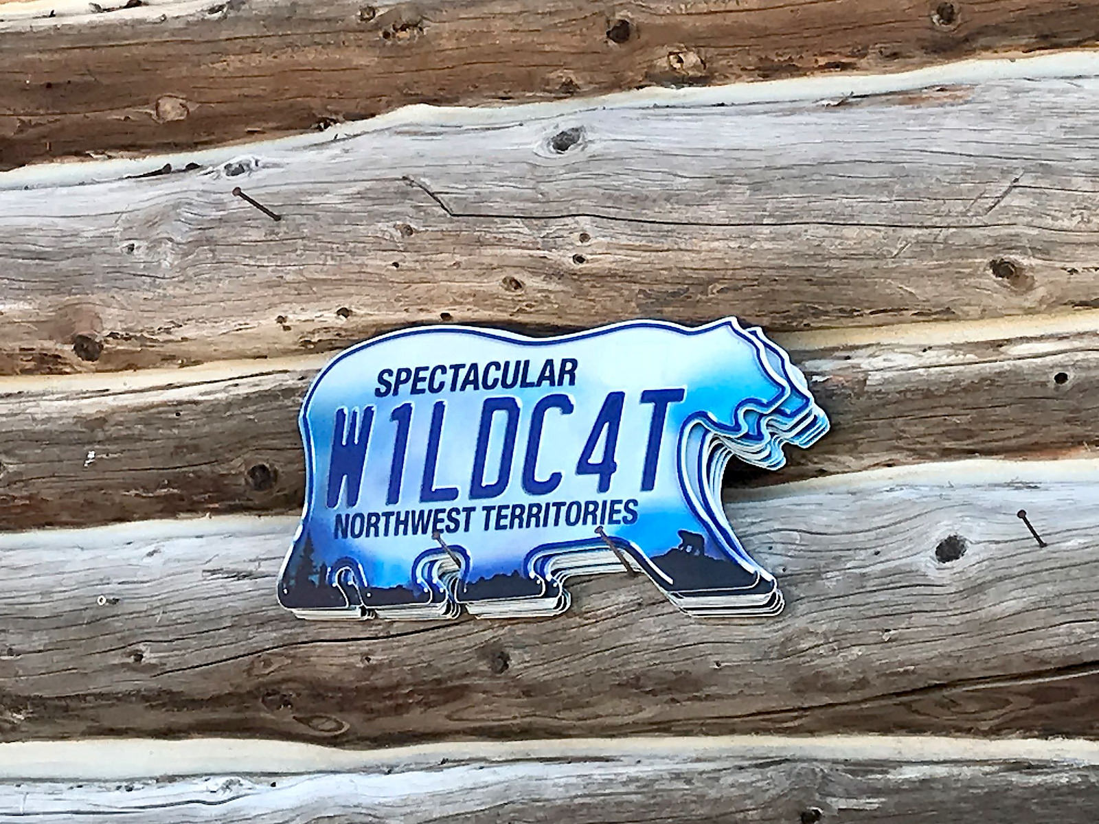
To start with, as it says on their license plate – the only one in the world shaped like a polar bear – Northwest Territories is spectacular!
The Space
Northwest Territories is vast – 2.5 times the area of California – yet it is home to only 42,000 people (and, as we mentioned, about half of those live in Yellowknife). Seventy percent live near Great Slave Lake, which is the deepest and 5th largest lake in North America, the 2nd largest in Canada, and 9th largest in the world. Including Yellowknife, there are only 5 towns in the NWT with more than 2,000 inhabitants. Many of the towns don’t have year-round access by road – it’s either fly-in or ice roads open only in winter. For those on the roads, it’s typically a 3-5 hour drive between towns (or settlements large enough that they sell fuel) and there are no services between them. Planning is crucial!
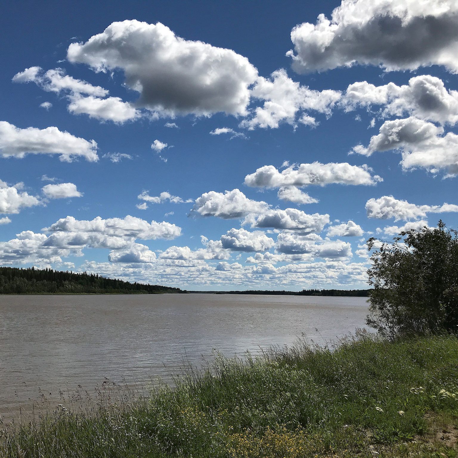
Great Slave Lake
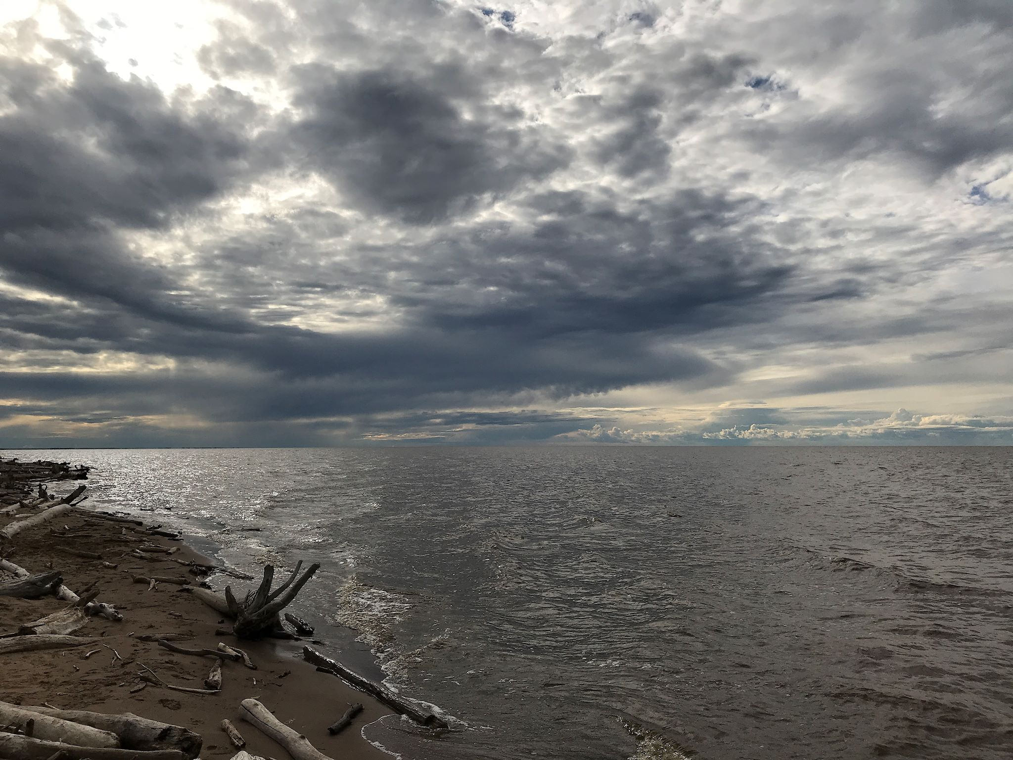
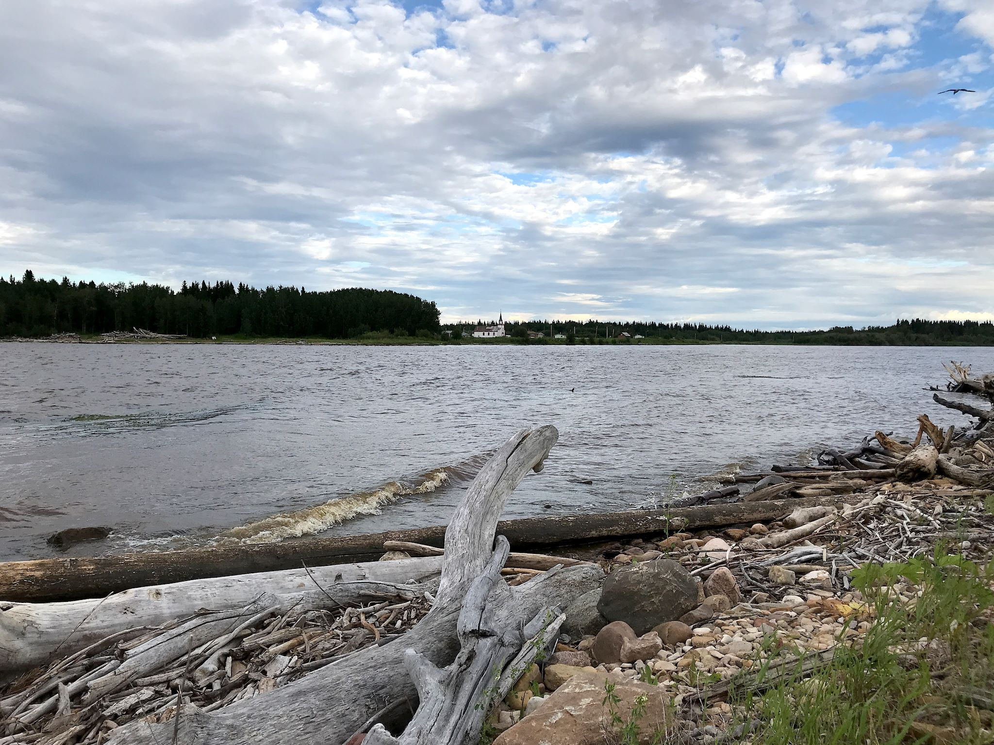
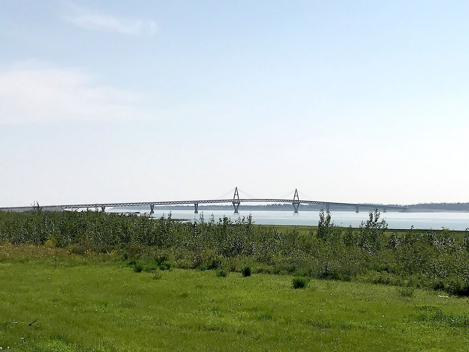
Yellowknife is on the shores of Great Slave Lake in a well protected bay. Even from the height of land in the city, the lake proper is obscured by peninsulas and islands. Our best views of the lake were from the town of Hay River, along the south shore and near the mouth of the Hay River, and near the Deh Cho Bridge over the Mackenzie River, the outflow of Great Slave Lake, which empties into Beaufort Sea and the Arctic Ocean.
Great Slave Lake’s name has nothing to do with slaves or slavery. It is named for the Slavey, a First Nation aboriginal people of the Dene group who live in the region.
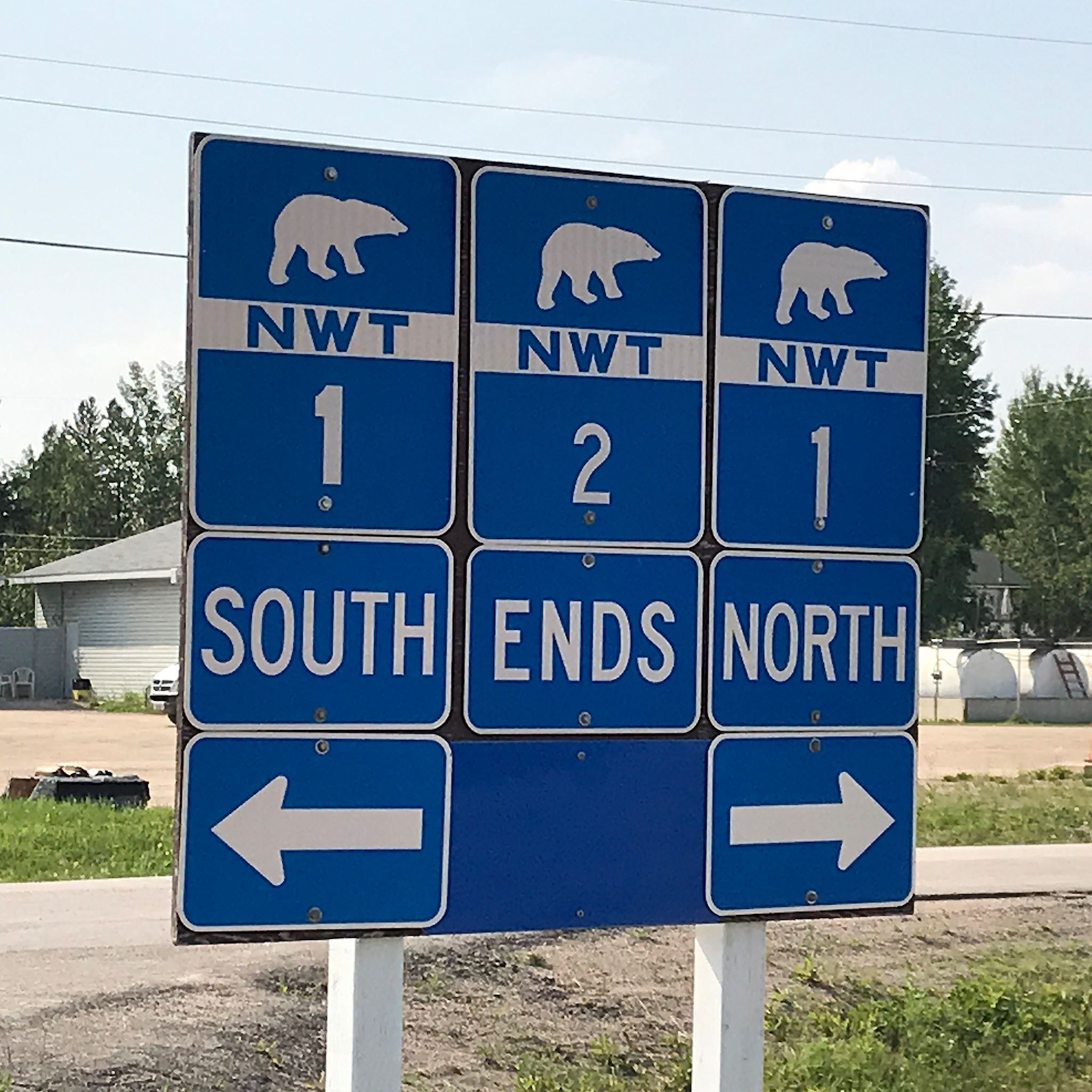
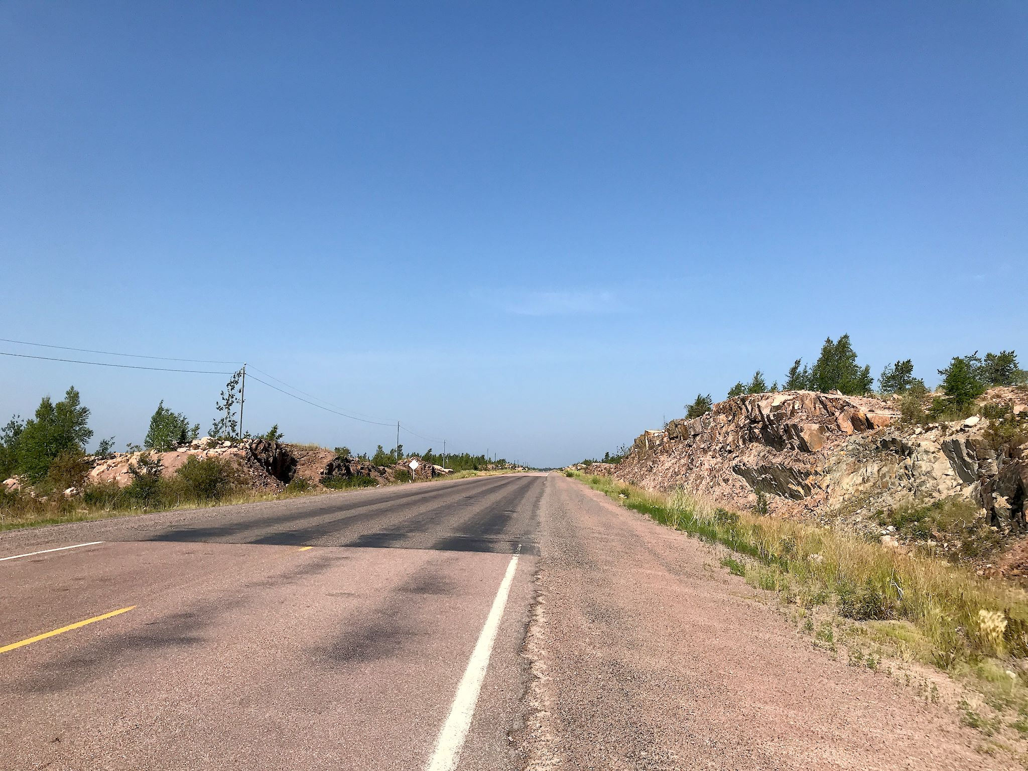
The Roads
There are exactly 8 major roads in the territory. They are called Highway 1, Highway 2, Highway 3… and so on, up to Highway 8, although they are better known by their geographic or colloquial names: Highway 1 is the Mackenzie Highway, 3 is the Yellowknife Highway, etc. Most of these are paved most of the way. We traveled almost every paved road in the area near Great Slave Lake including the entirety of Highways 2, 3 and 5, and almost all of Highway 1. (Yes, our camper occasionally likes to pretend it’s a jeep, and we’ve done our share of unpaved roads. Still, driving hundreds of miles on unpaved roads is tough on tires and on the ceramic mugs bouncing around in the cabinets.)

The Forest
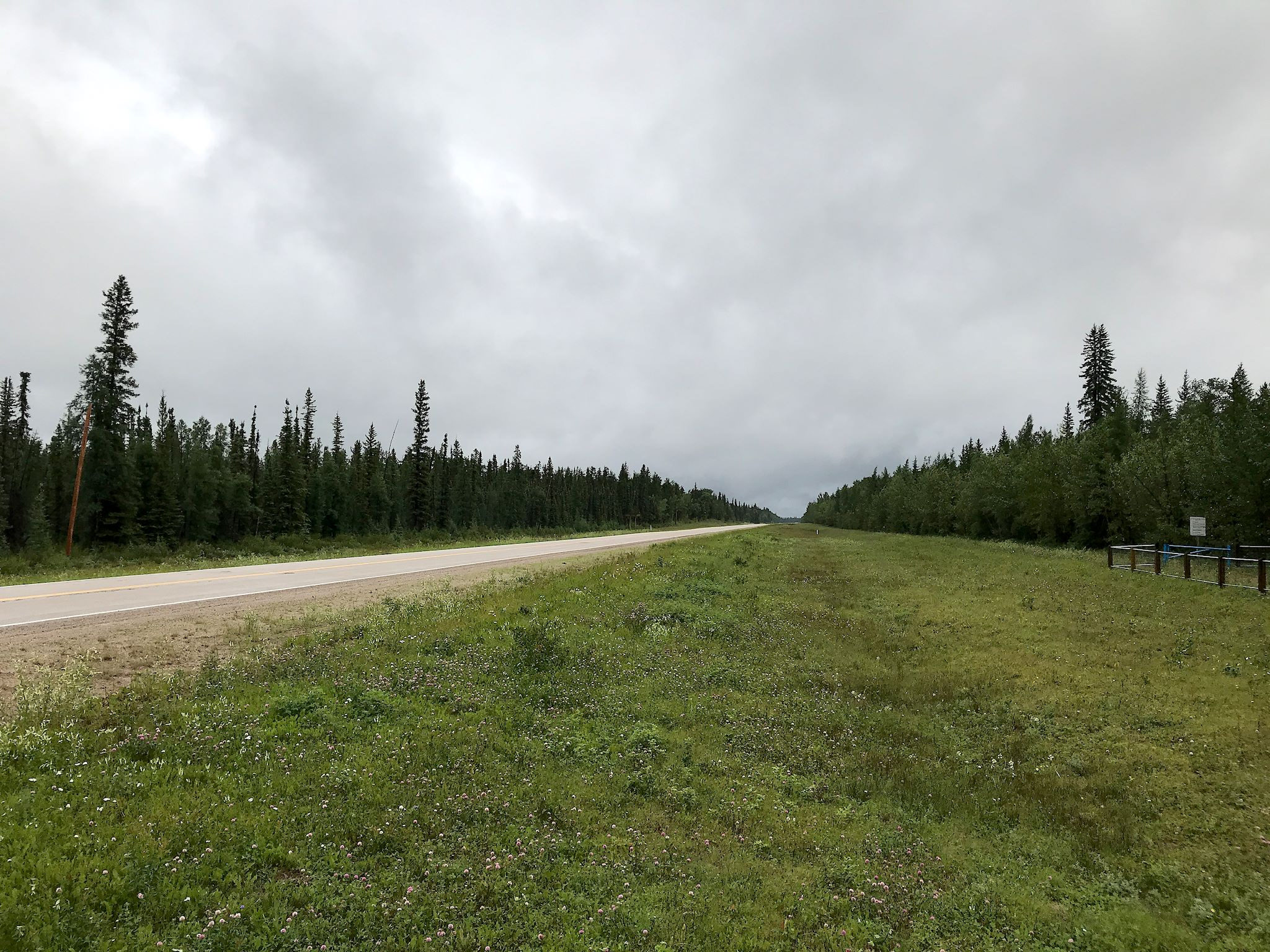
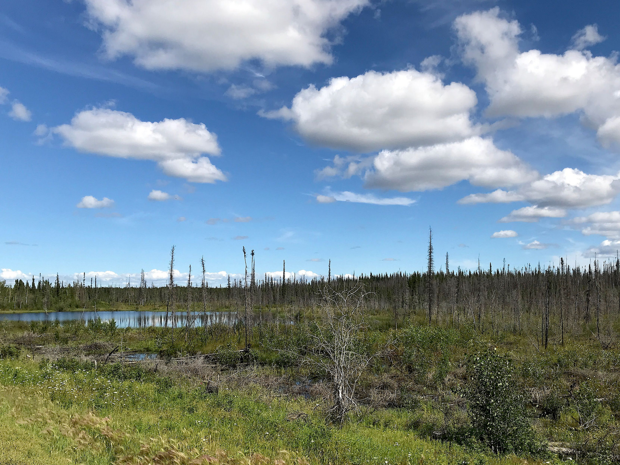
From our vantage point (the extra-large Sprinter van windshield), the long drives through NWT are fascinating. It’s true, we’re always in the boreal forest, where there are but 5 species of trees – yet this forest we’re always driving through is always changing. Based on the timing of past fires and their intensity, the height, age, mix and density of the forest trees is different. Endless views of tall skinny jack pines give way to aspen orchards, all in different stages of growth. Mixed, more mature, super-dense forests are interrupted by recent burns revealing charred tree carcasses surrounded by lush, green new growth.

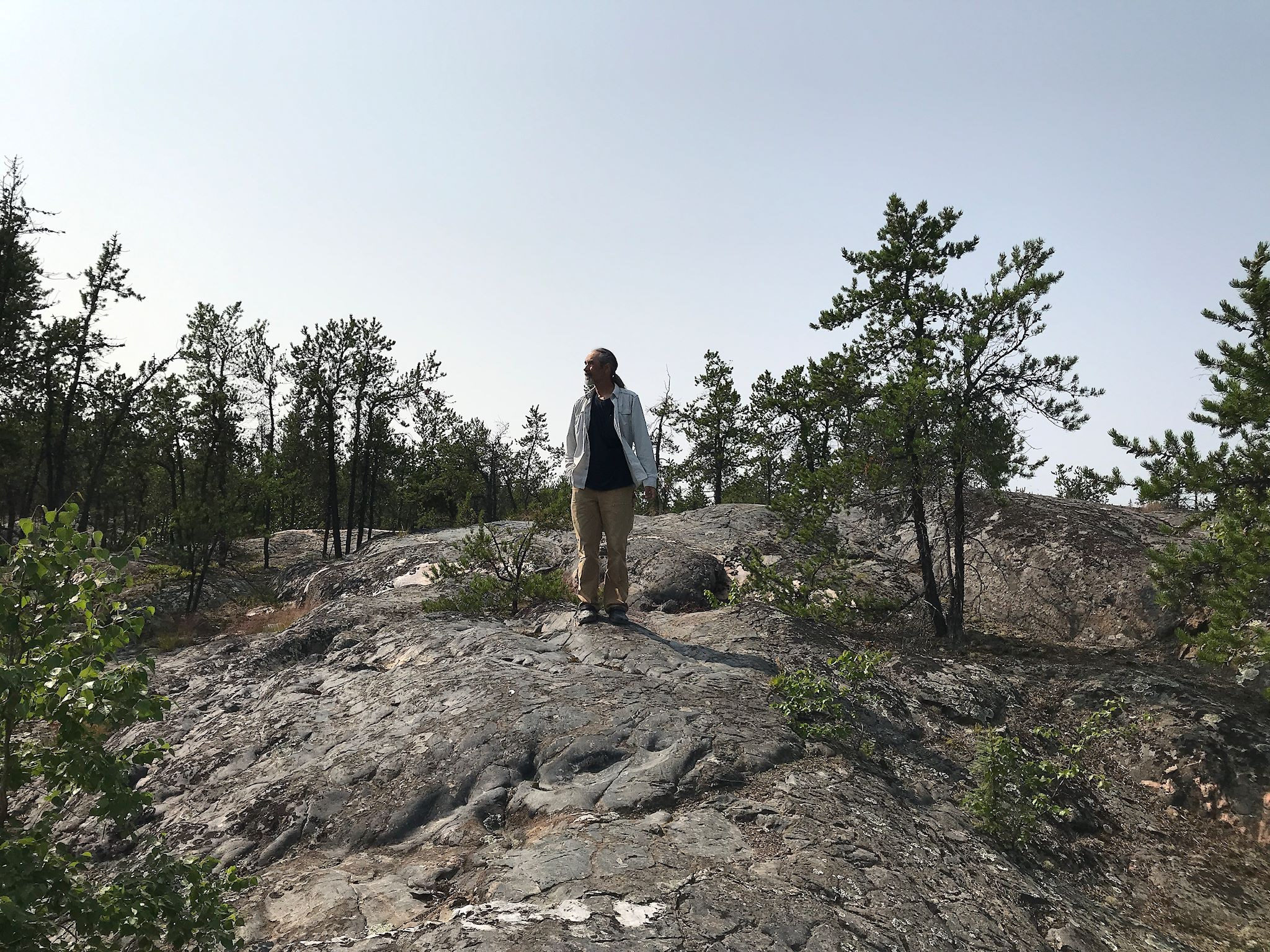
The Rocks
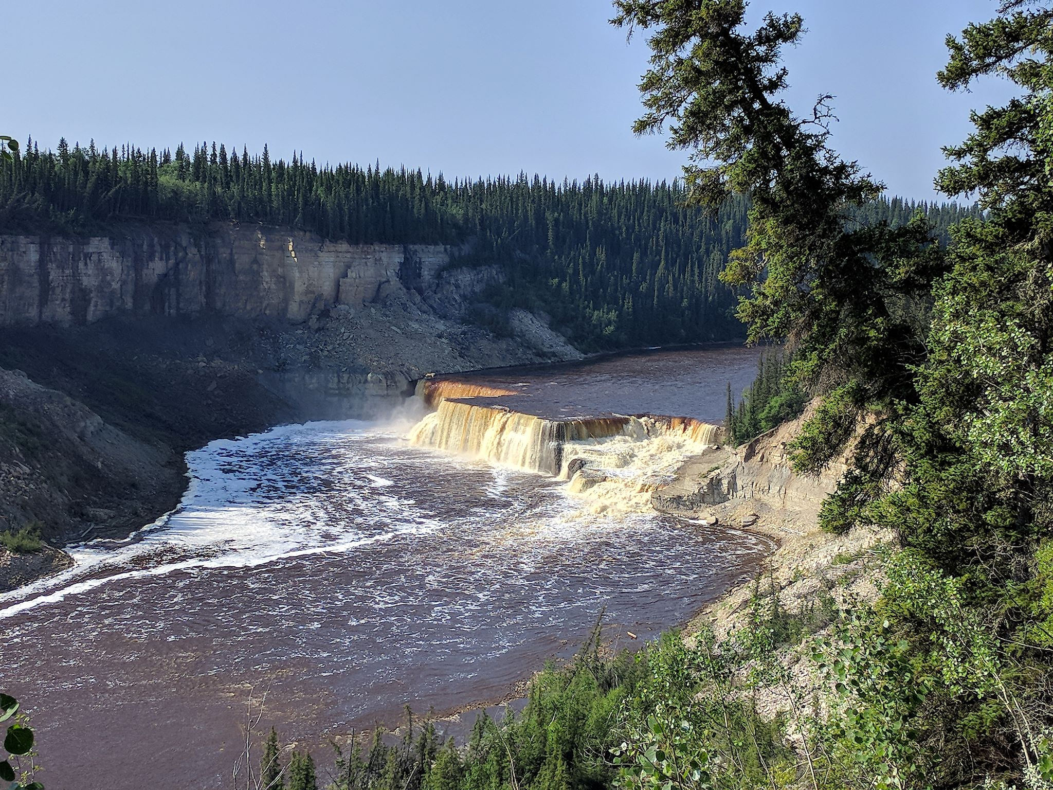
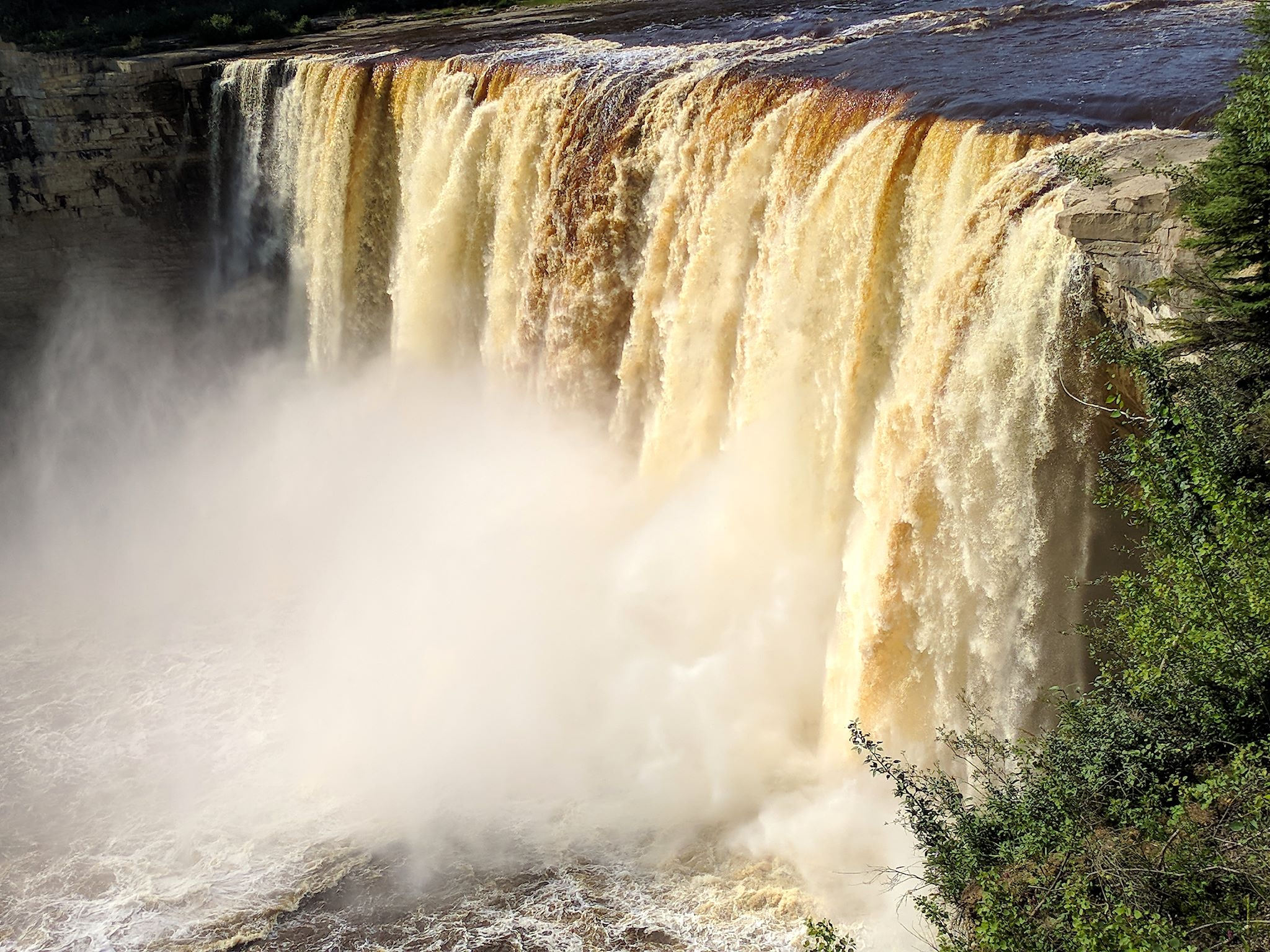
South of Great Slave Lake, the terrain is flat to gently rolling with light colored sandy soil. This region is just off the western edge of the Canadian Shield. The geology of the Canadian Shield is old, some of the oldest on earth – igneous rock from volcanic activity which has been repeatedly uplifted, eroded and exposed. The Shield is surrounded by sedimentary basins formed under the sea and now exposed. Rivers flowing across sedimentary rock like the limestone here, which is less resistant to erosion than the exposed bedrock of the Shield, will erode the land to leave gorges and waterfalls. East of Slave River and the North Arm of Great Slave Lake, the big, colorful rocky outcroppings of the Canadian Shield start to show, revealing thinning trees and lots and lots of little lakes in the now curvy and rolling landscape.
Large Critters
Outside of the parks, in our general travels and driving around, we saw 10 more bison, 4 black bears and dozens of sandhill cranes. The bison we’d see just hanging out on the sides of the roads, lying down or munching on grass, with maybe a casual glance at the RV passing by. The bears seemed more alert to our presence.
Small Critters
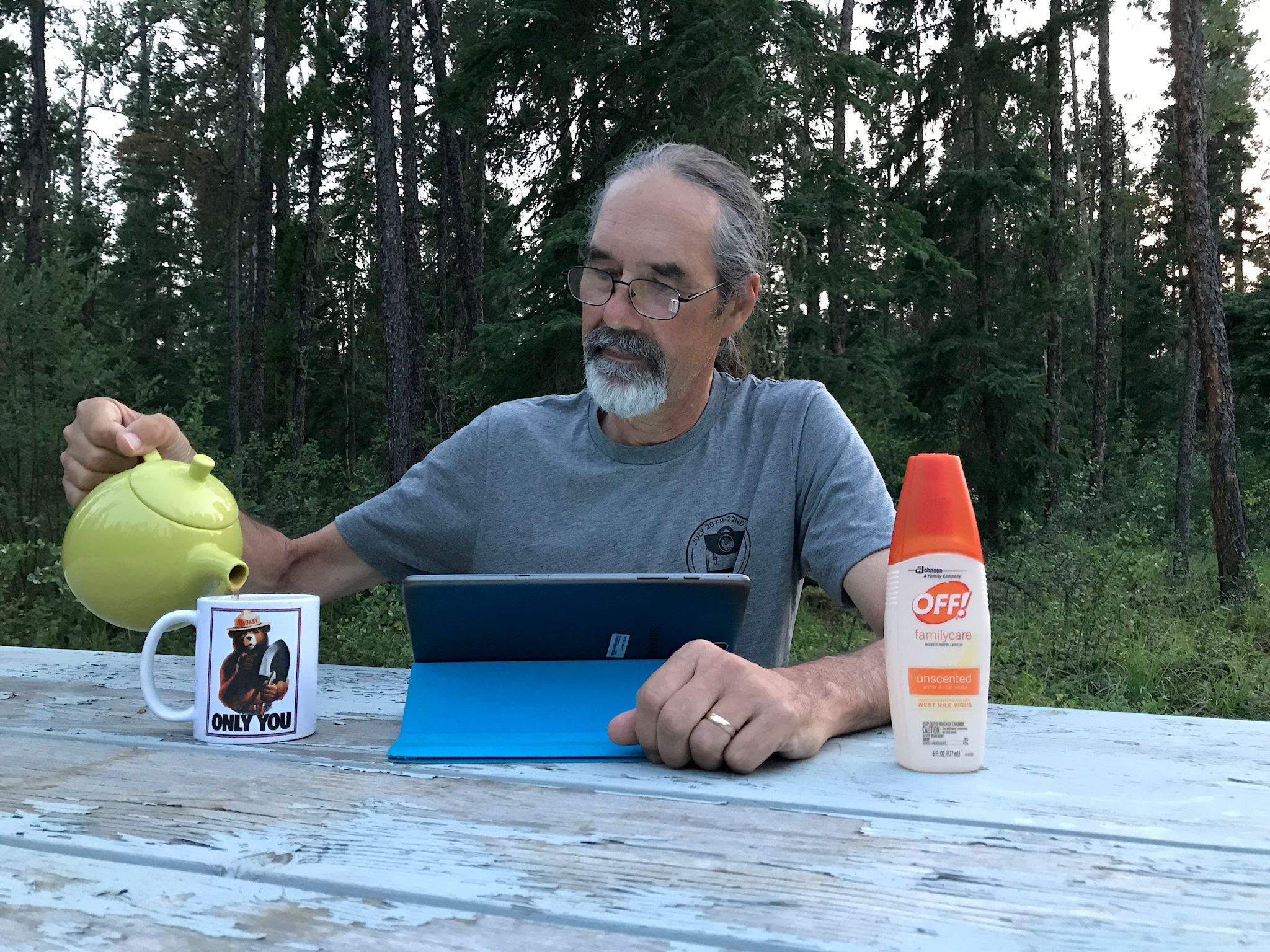
Here, we’re referring to mosquitoes and horseflies – though honestly the horseflies might warrant a “medium” category all their own. They’re legendary. Yet we were able to coexist and do almost everything we set out to do, though I will say our first stop in Edmonton will be a car wash. Management strategies include bug spray, clothing, timing, and good judgement. Hanging in open spaces like town streets, beach, or a bike path along a moving river were mosquito-tolerable. Hiking in the forest required bug spray as did sitting outside in the evening, provided there was a gentle breeze. Hiking anywhere near standing water like beaver dams, sinkholes, and bogs was best done early morning to mid-day with lightweight clothing including long sleeves, long pants, a hat and bug spray. We chose not to sit outside in forested locations in the evenings after a rain. The doors and screens on the RV offer excellent protection, as long as you open and close them quickly (another place where timing comes into play).
Midnight Sun
The southern border of NWT is at the 60th parallel. Yellowknife is at 62.5°. By the end of July the days are getting noticeably shorter, but jeez, there’s still so much sun and so much light! For sun-driven folks like us, it’s in a way delightful. Wow, 10 PM and it’s still light out, hey wanna go for a hike? At this time of year, sunset is around 11 PM and it stays light until after midnight. (Around the solstice, there’re 20 hours of sunshine and it never gets much darker than dusk!) Of course, all the extra daylight is not an unmitigated boon. Our circadian rhythms have gotten us confused. We have trouble getting organized for a timely dinner because it always feels too early. It’s been hard to get to bed before midnight because it’s just too light to fall asleep. We wake up at 4 am and the sun is out – fortunately, I’m still able to pull the covers over my head and sleep in.
Spectacular
Spectacular is being immersed in the forest for 3-5 hours at a time and enjoying it. We’re forced to slow down, absorb the natural vibe. Vast is no longer a term or a concept, it’s a feeling. There are not many places where you drive 3-5 hours at a time through unbroken wilderness, and then do it again when you get to the other side of town.
For anyone who’s interested, there are more Northwest Territories, Twin Falls Gorge camp, Twin Falls Gorge hike photos.
Looks awesome and you had great weather. Most people wouldnt believe it can get 30 degrees Celsius in NWT.
Thanks, Barb! Yes, weather was fine and we were very fortunate! Had a great time.