
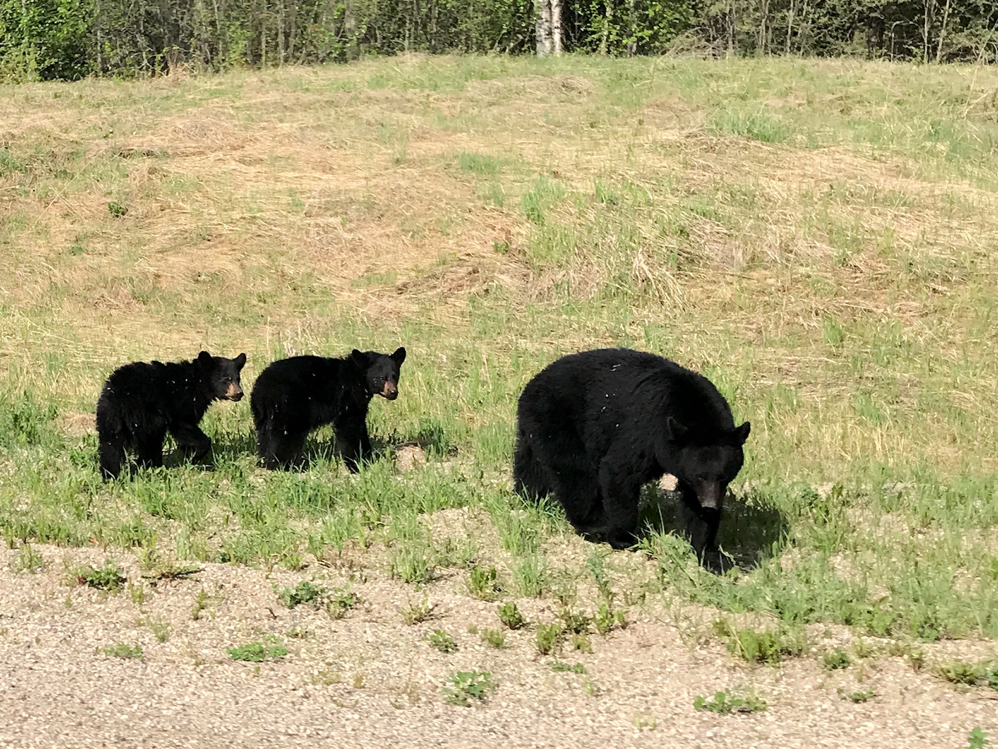
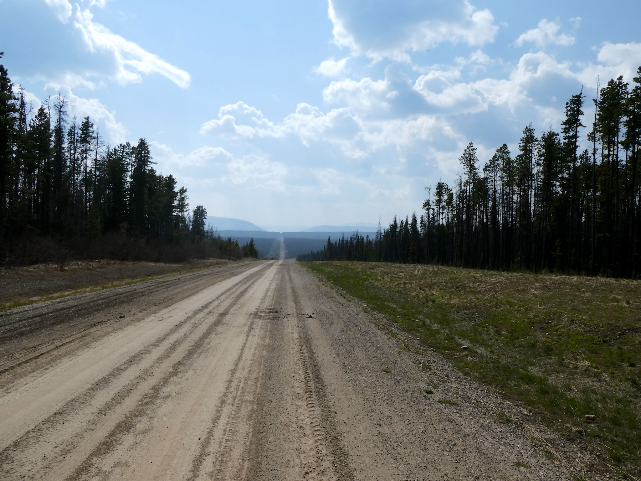
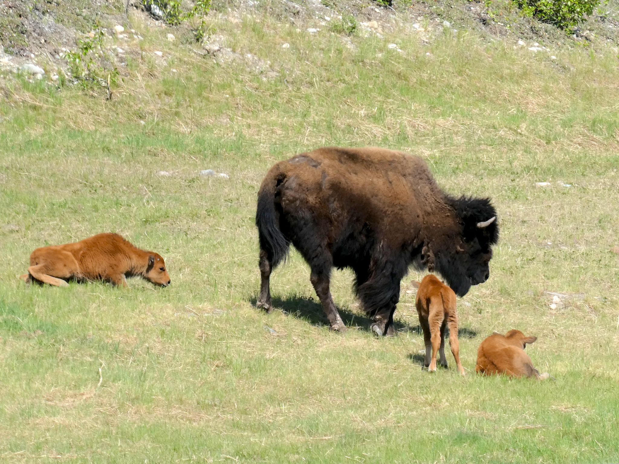
Driving north from Dawson Creek, the scenery quickly transforms from agricultural to boreal forest. The Highway ribbons through the forest in what appears to be the path of least resistance (as it likely is – they built it in a hurry…) until reaching Fort Nelson. Except for Fort St John (pop 21,500) and Fort Nelson (pop 3,500), there are few stops. Most are service stops (fuel, food, post office, maybe a motel and/or RV park) like Pink Mountain (pop 8), pull-outs with historical info, or dirt side roads heading to gas and oil camps. Oh, and lots and lots of animals – bears, moose, caribou, stone sheep (like big horn sheep only smaller and darker), and elk – everywhere.
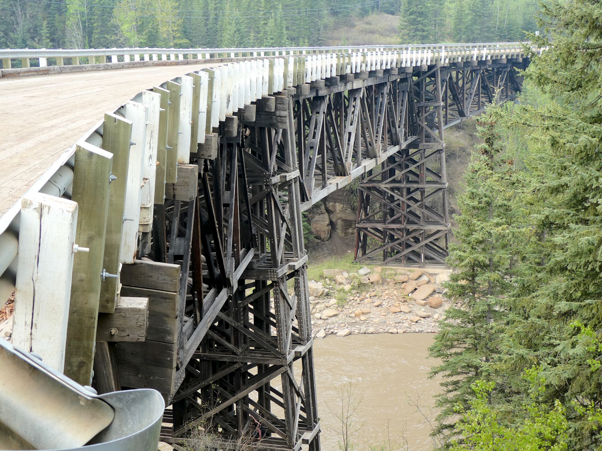
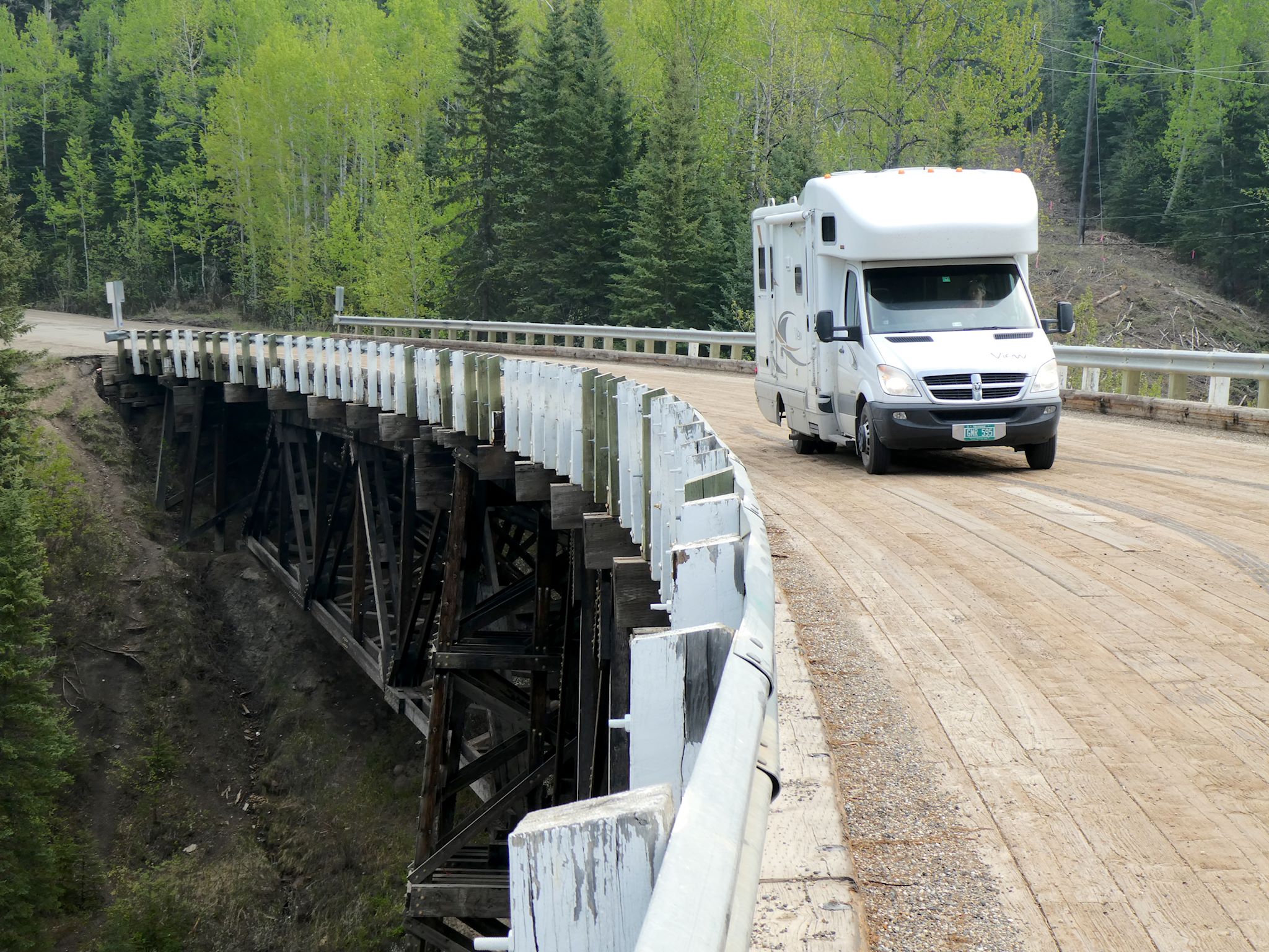
I have a thing for bridges (I may have said that before…). We made our first stop just 27 k (17 miles) north of Dawson City to check out the original curved, wooden Kiskatinaw Bridge, built in 1942. It’s the only original timber bridge still in (limited) use today. The road has been rerouted so the highway (and most traffic) crosses the Kiskatinaw River on a modern bridge. Tourists and people who have a thing for bridges may drive over the old Kiskatinaw bridge and take hundreds of pix.
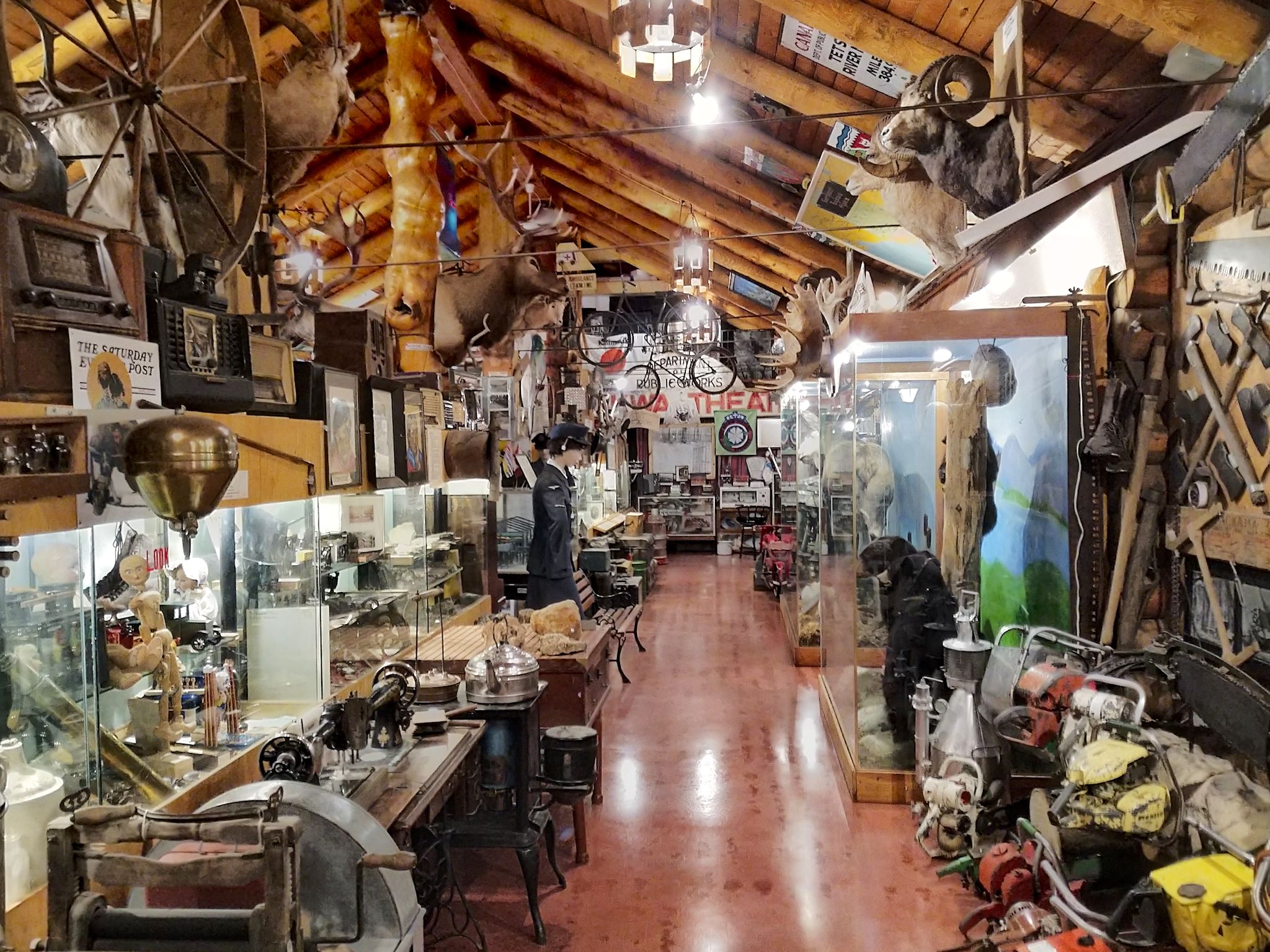
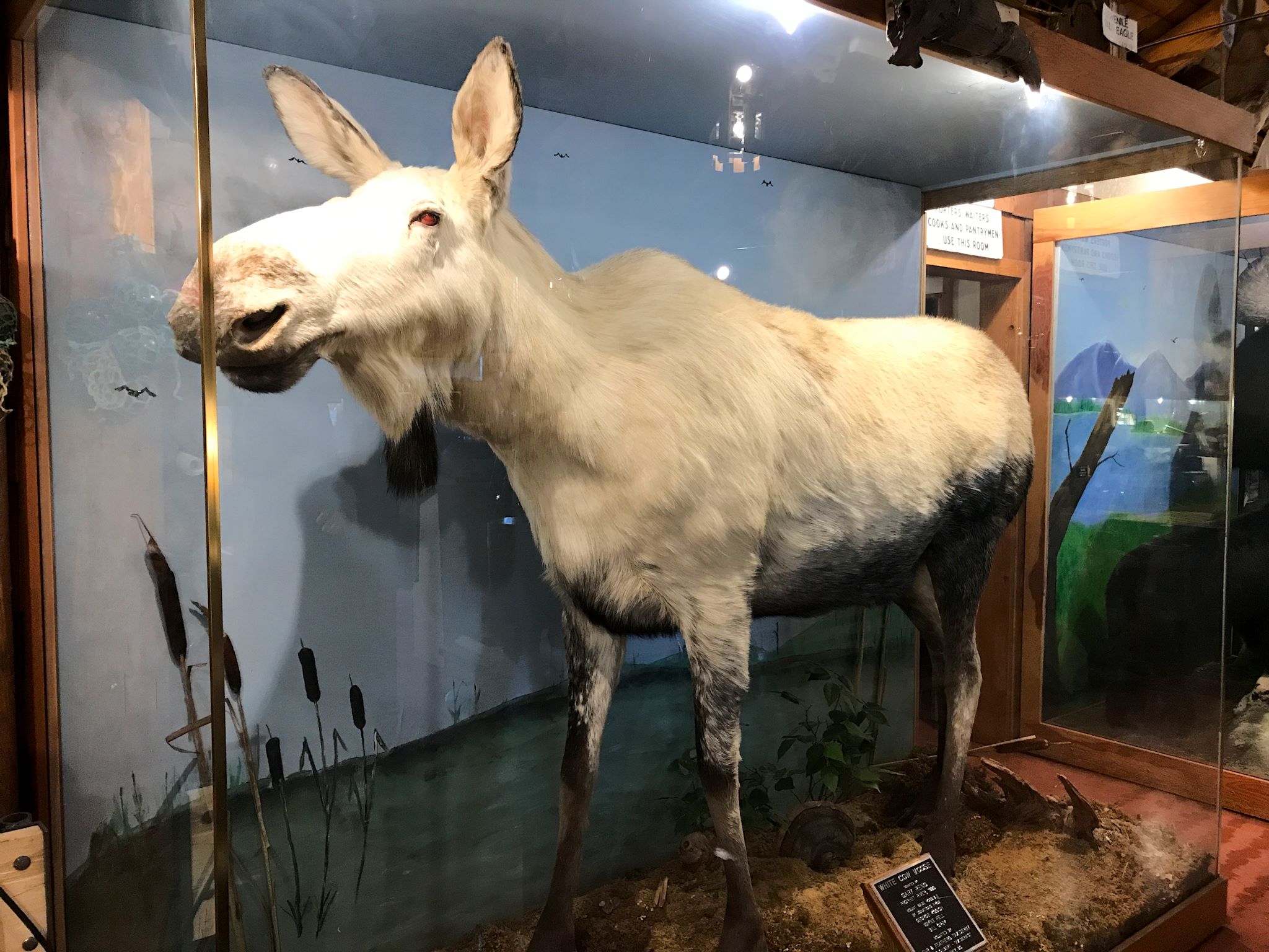
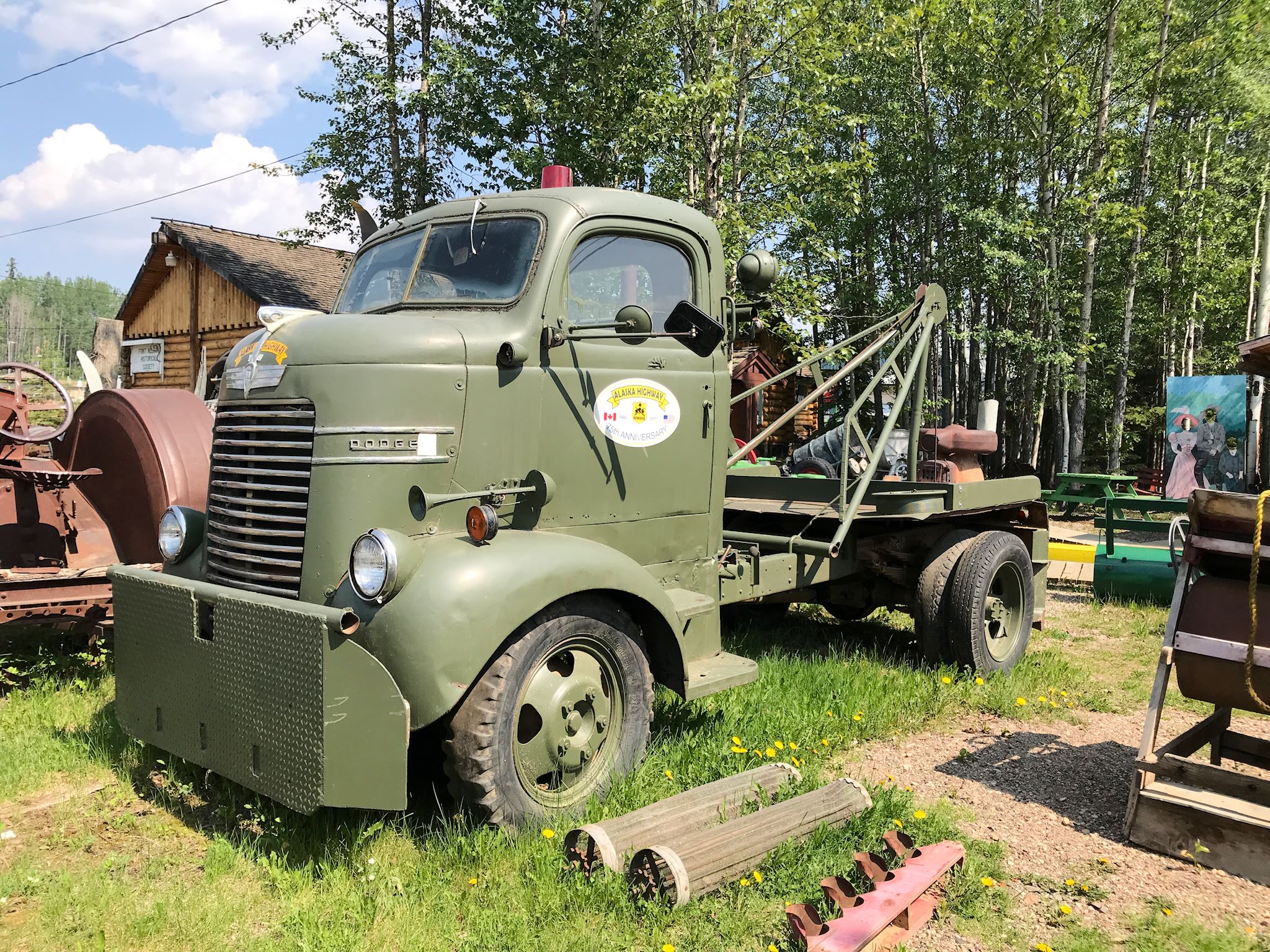

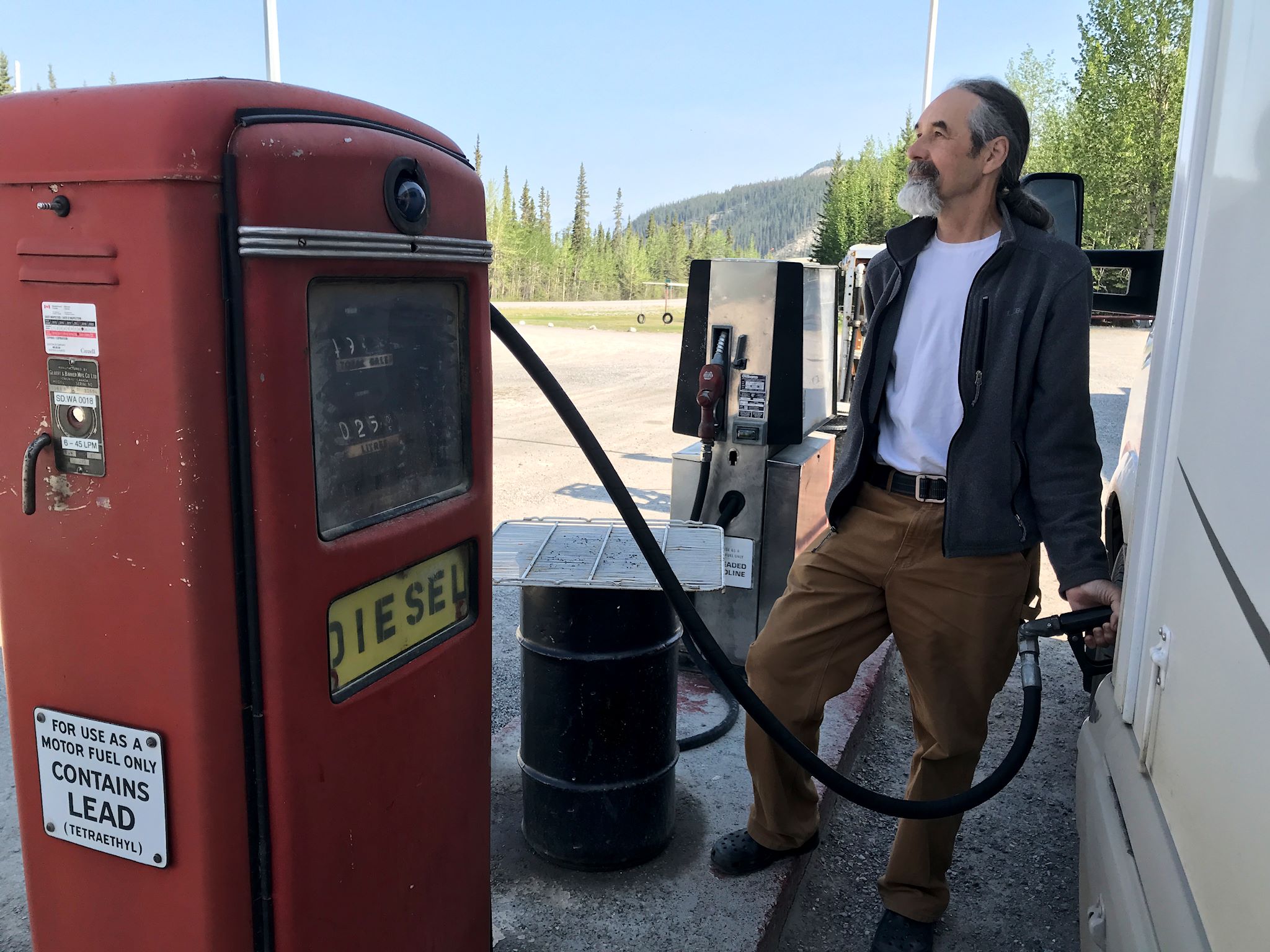
The Fort Nelson Heritage Museum includes an impressive collection of stuffed wildlife, sculptures, and pioneer and Alaska Highway artifacts. There’s also the antique car garage, packed full with cars, most in working order, including a 1908 Buick which the owner, Marl Brown, drove 2,000 km (1,200 miles) from Ft Nelson to Whitehorse and back for its 100th anniversary in 2008! At the beautiful, deep blue Muncho Lake and its associated settlement (pop 29), we refueled from a diesel pump which the proprietor told us was a 1953 model – a year older than Doug!
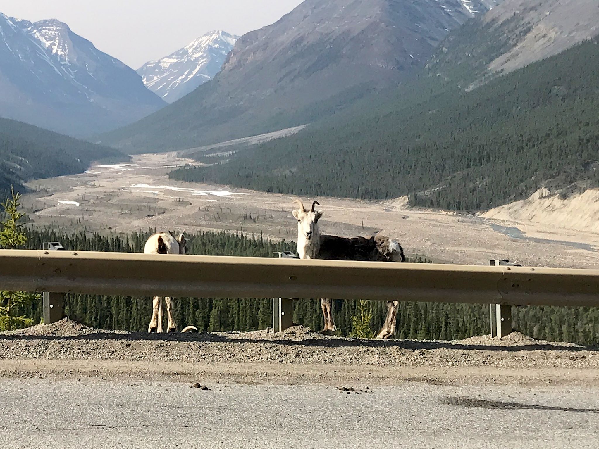
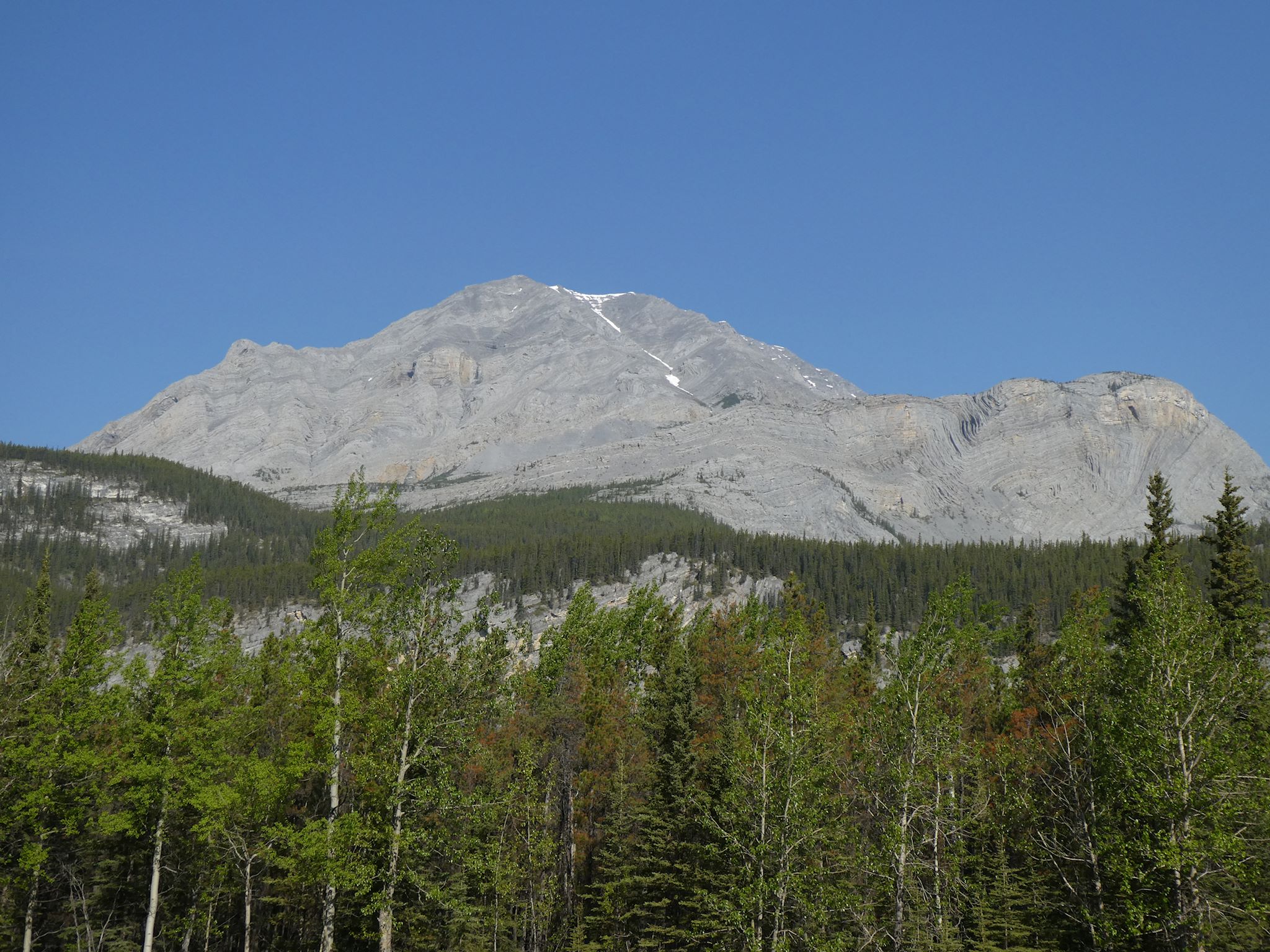
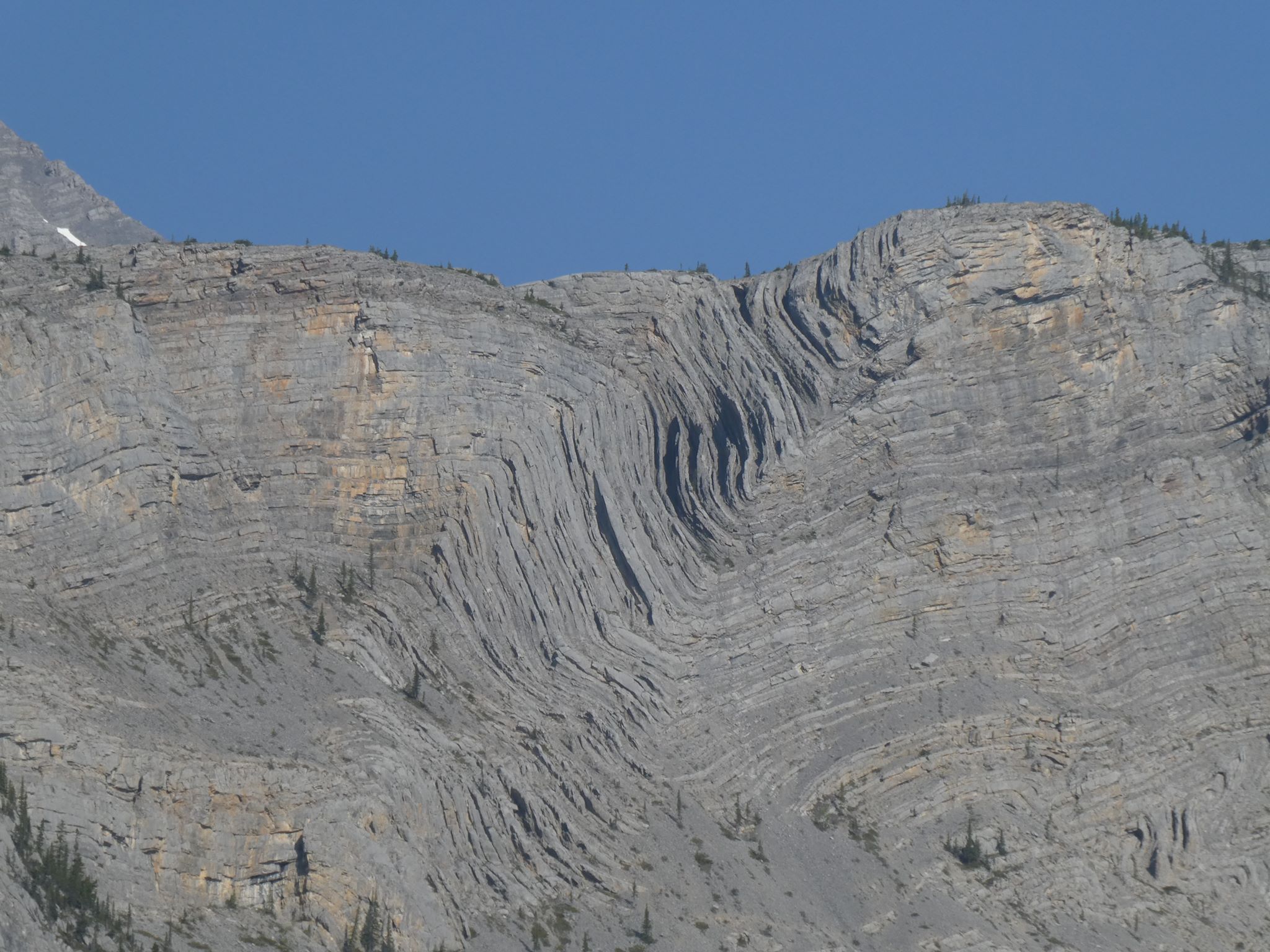
As the Alaska Highway veers in a more northwesterly direction, the scenery gradually changes from boreal forest to mountainous terrain as we approach the Northern Rockies. The lowest point on the Highway is at Fort Nelson, where the elevation is 305 m (1,000 feet). The highest point at 1,295 m (4,250 feet) is Summit Pass, a mere 150 K (92 miles) west of the low point at Fort Nelson.
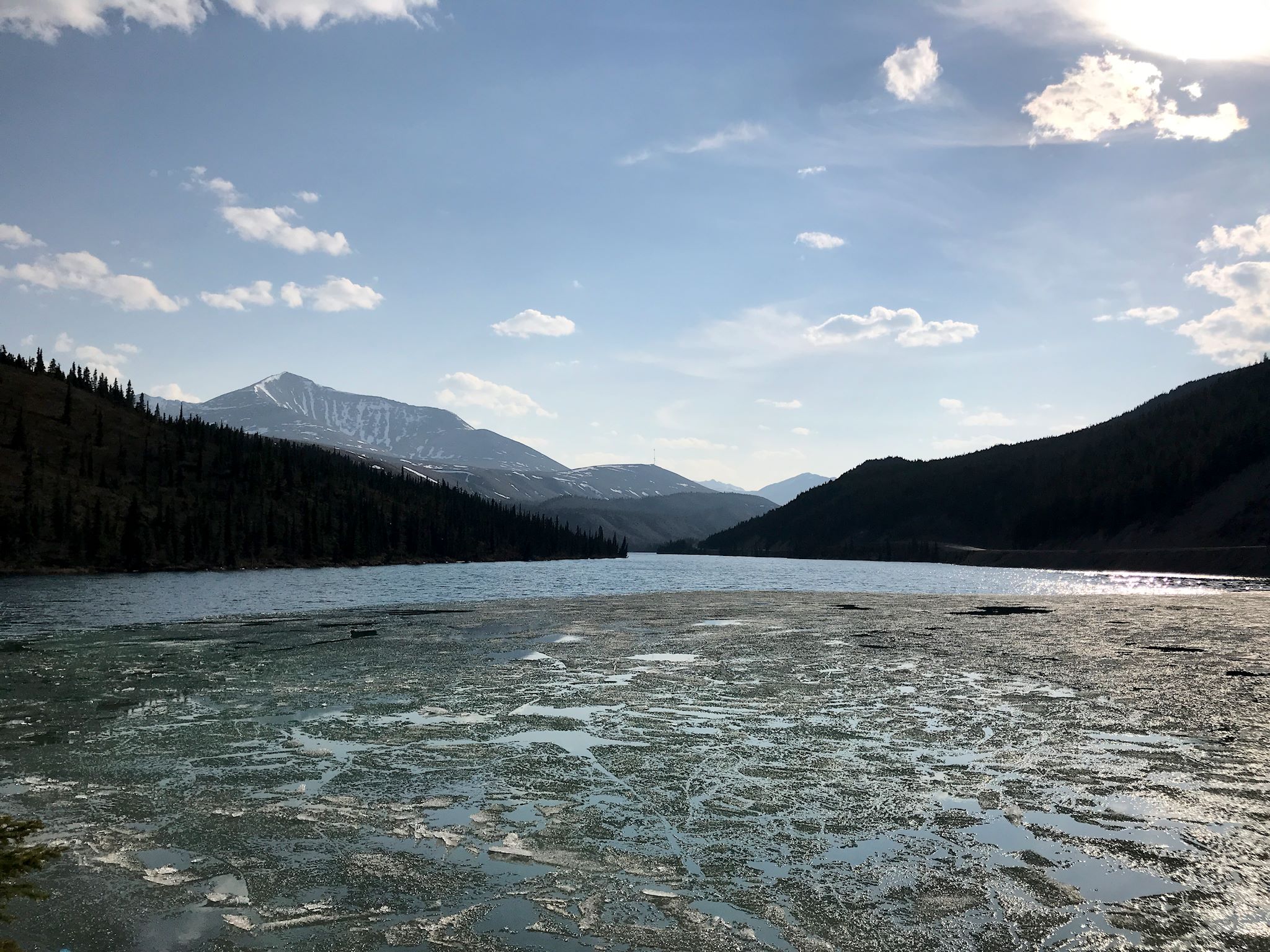

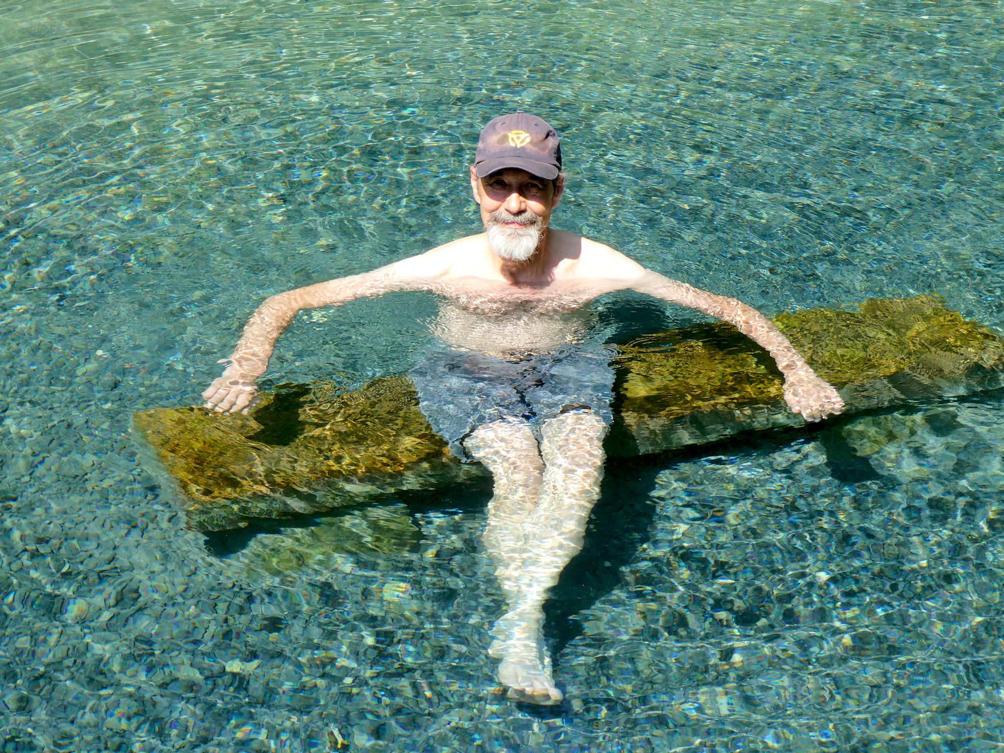
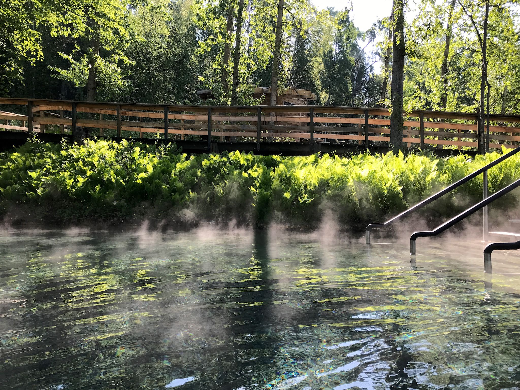
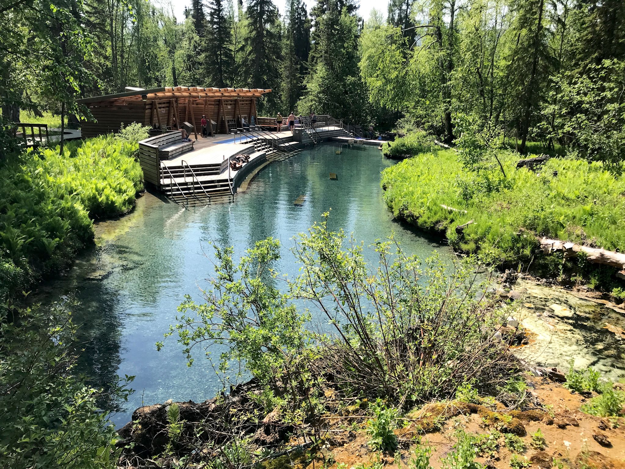
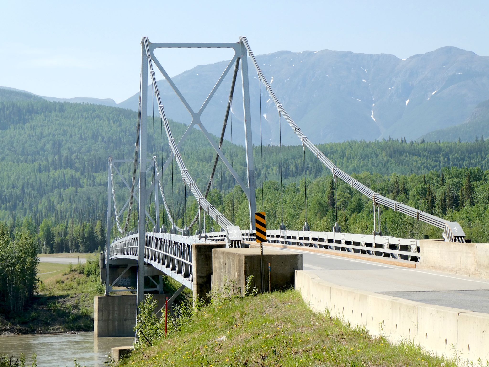
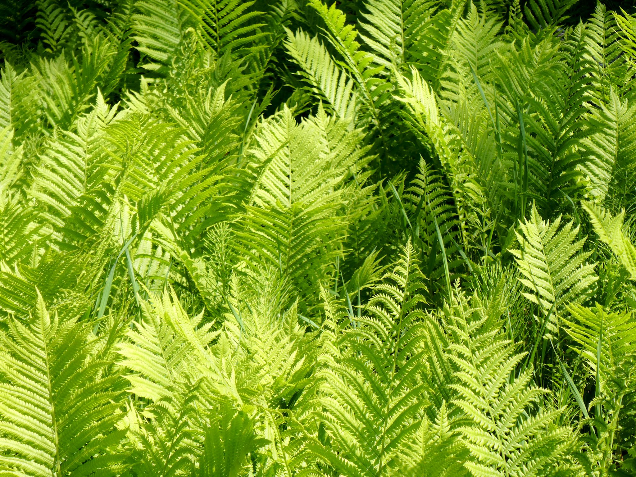
We camped at Summit Lake, a pretty campground at the top of the pass. The lake still had ice on it! For the record, that means the water was about 0 °C (32 °F). We headed down the pass along the Liard River where we soon crossed the Lower Liard River Bridge (bridge!), the only remaining suspension bridge on the Alaska Highway. We spent the night at Liard Hot Springs, where we soaked in a natural hot pool with temps ranging from 42 to 52 °C (108 to 126 °F). This was one of our favorite stops so far! Although the staff warned about moose and bear in the area, our only critter sightings were a marmot and a goose.
Passing through so many small towns and tiny stops, we’re finding the people to be quite friendly and helpful. Anyone they don’t recognize who walks through their doors are greeted with a smile, a hello, and ‘Are you heading north or south?’
As we approach the BC/Yukon line, we’re a third of the way to the Alaska border on the Alaska Highway. We’re already starting to recognize fellow road warriors (and their RVs) as we leapfrog each other on our travels north.
For anyone who’s interested, more scenes from BC, Kiskatenaw River Bridge, Duhu Lake, Fort Nelson Heritage Museum, Summit Lake and Liard River Hot Springs pix…