
The conversation went something like this:
Doug: Holy cow! Look at that!
Sue: OMG! So beautiful!
D: We’ve been driving for an hour and already have a hundred photos. Too many?
S: You’re right. Maybe we have enough for today.
D: Oh, wow, look at that. Let me get a photo…
S: You’re right. Pull over!
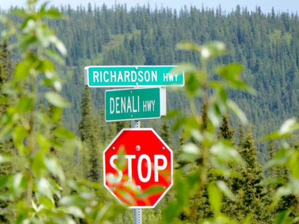
We’d heard from many who had traveled to Alaska that the Denali Highway was not to be missed. On a clear day, it would have great views; it was an unpaved, remote, potholed, rutty, 134-mile-long, dirt road that would eat our tires, destroy our RV, and we might die; and it was well worth the drive. Our friends Lloyd and Suzanne and Ed and A-J encouraged us to drive it. Then, our friends Mike and Helen – who’d driven the route last year – pointed out that the dirt road we live on in Vermont was far worse than anything they saw on the Denali Highway. In other words, it’s no worse than the roads back home. The ultimate endorsement!
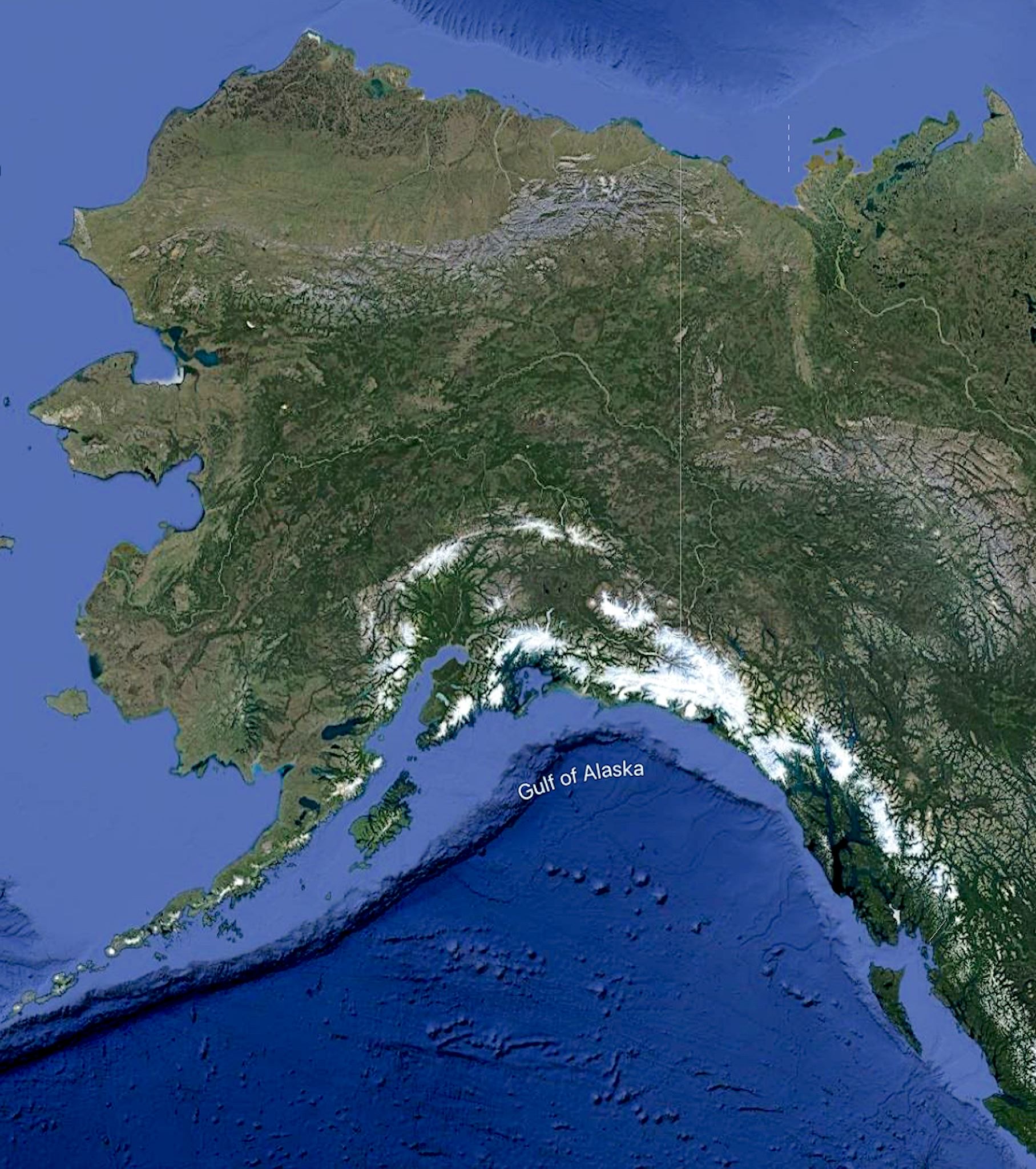
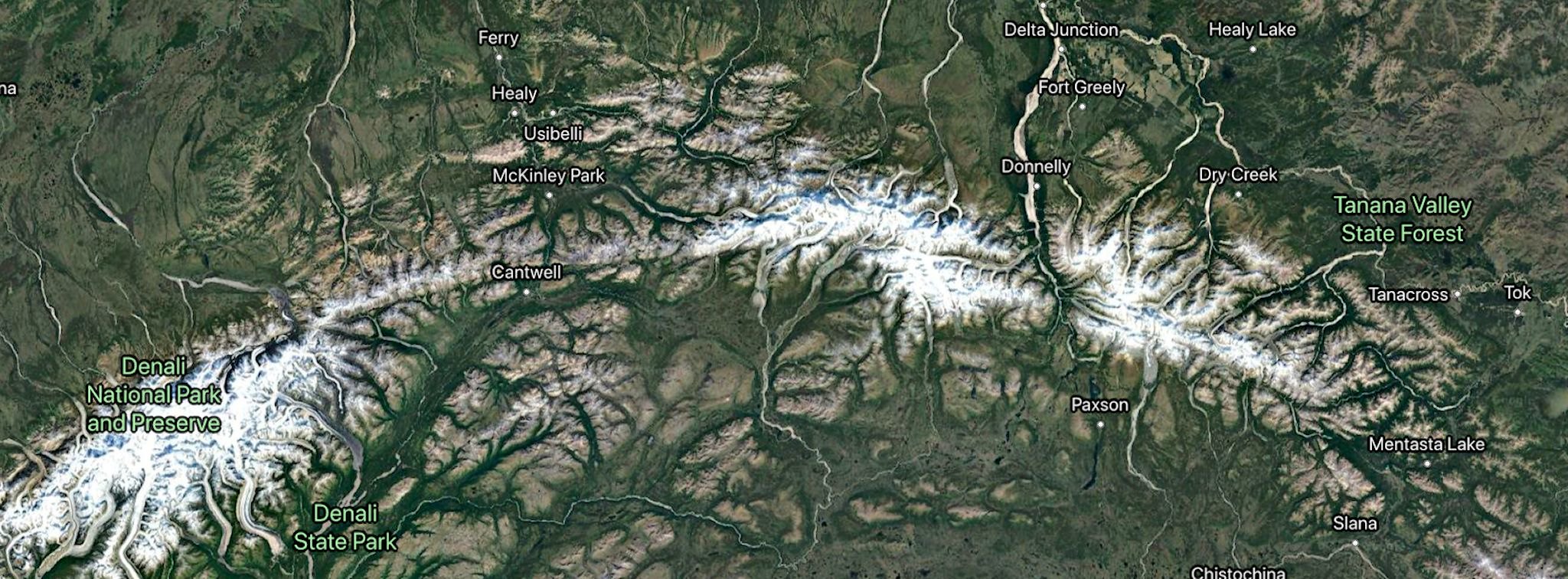
First a little geography. The Alaska Range forms an arc across south central Alaska. This arc is along the Denali Fault Line. Denali, the highest peak in North America is just west of the top of the arc. The eastern Alaska Range features Mount Hayes, the largest peak in terms of rise – 8000 feet from the valley floor – just east of the top. The Denali Highway cuts from east to west just below the top of the arc. (We didn’t know any of this until we reached the end of the Denali Highway and got a cell signal to look it up…)
Leaving Delta Junction 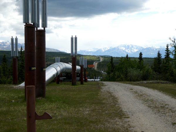
The Alyeska pipeline
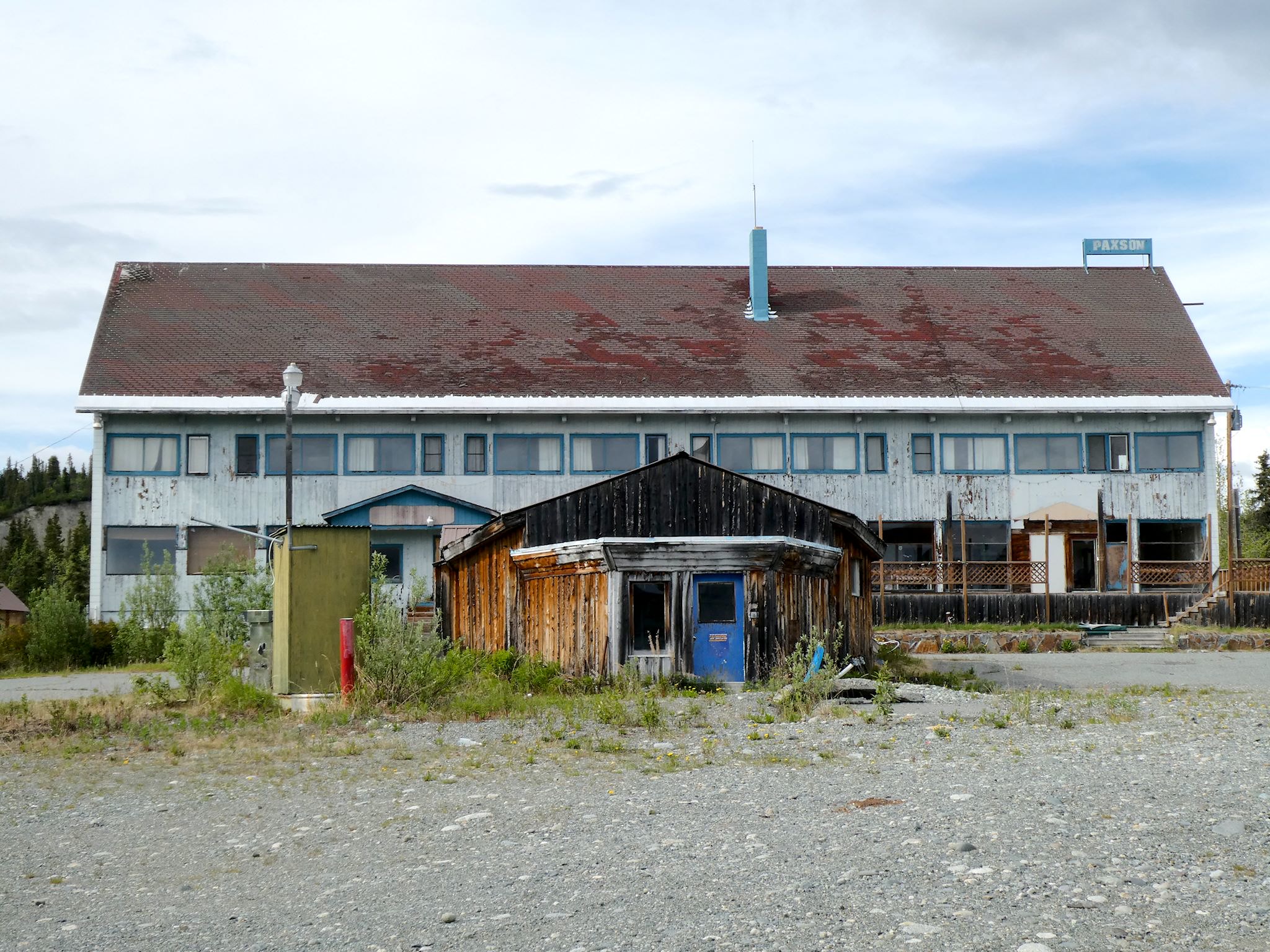
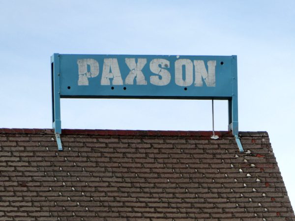
Welcome to Paxson! 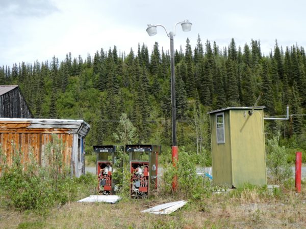
No fuel today
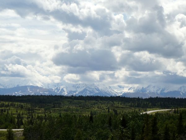
What we didn’t realize was just how great the views would be, including the drive to the Denali Highway! The Richardson Highway to Paxson (pop. 15) caught us by surprise. Out of Delta Junction, we immediately started to close in on high peaks and climb toward Isabel Pass. We made our way past lakes, mountain ridges, glaciers, crossings of the Alyeska pipeline, more glaciers, and Rainbow Ridge. Soon after gawking over Summit Lake, we dropped into Paxson. Since the Paxson Lodge closed in 2013, activity in the town has dwindled somewhat…
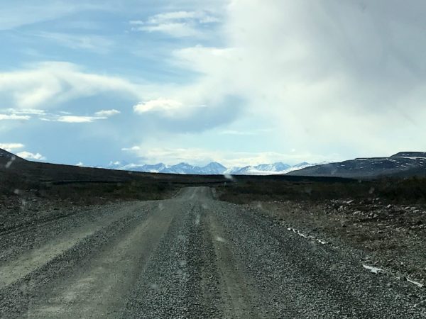
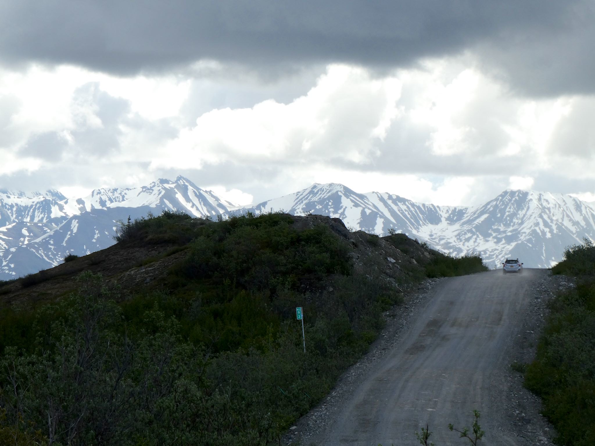
Dirt after the first 21 miles 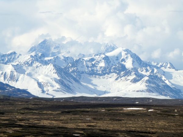
Glaciers everywhere
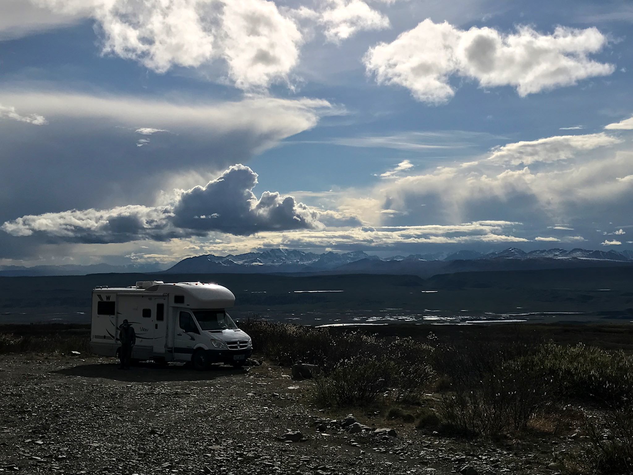
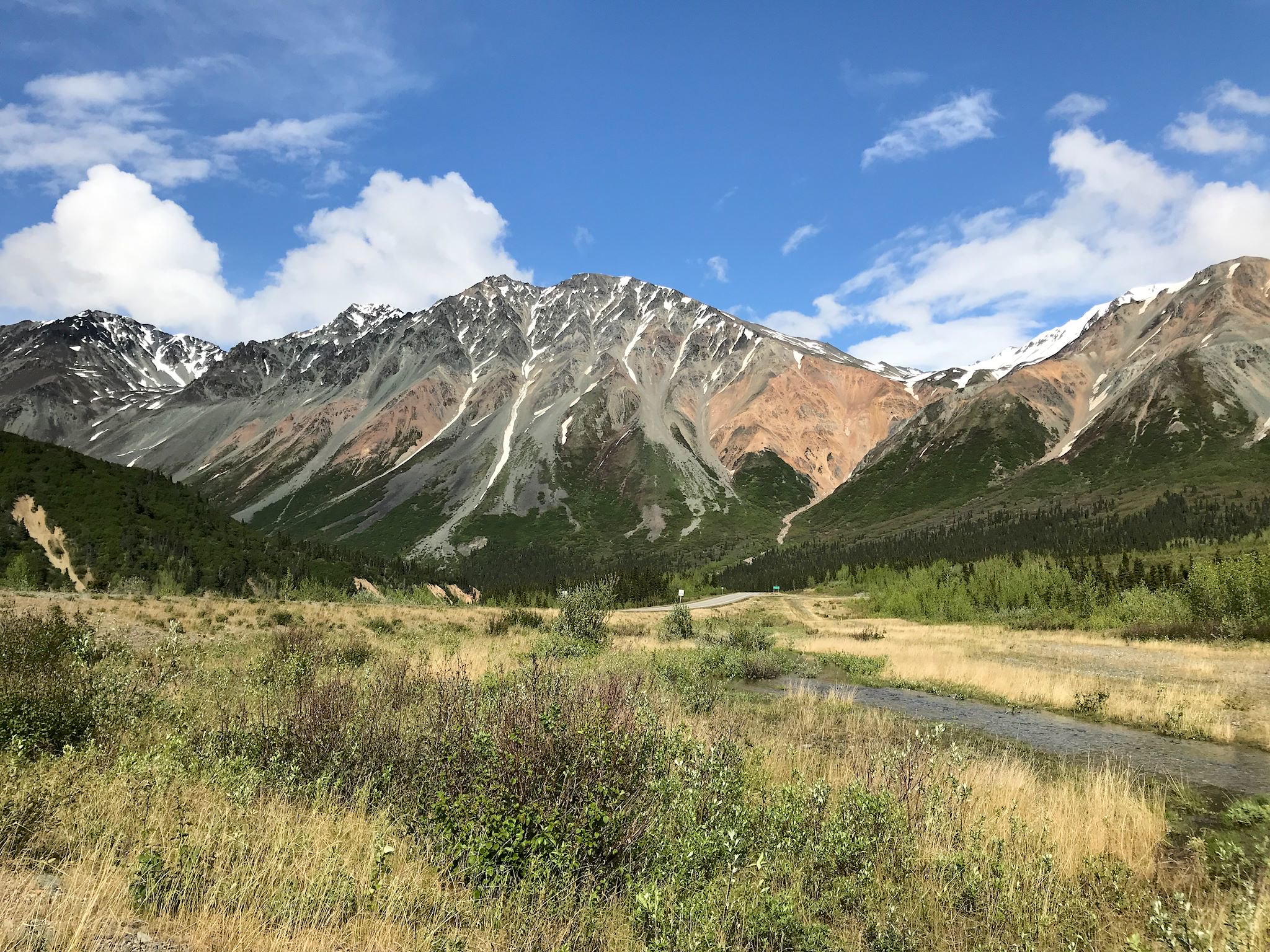
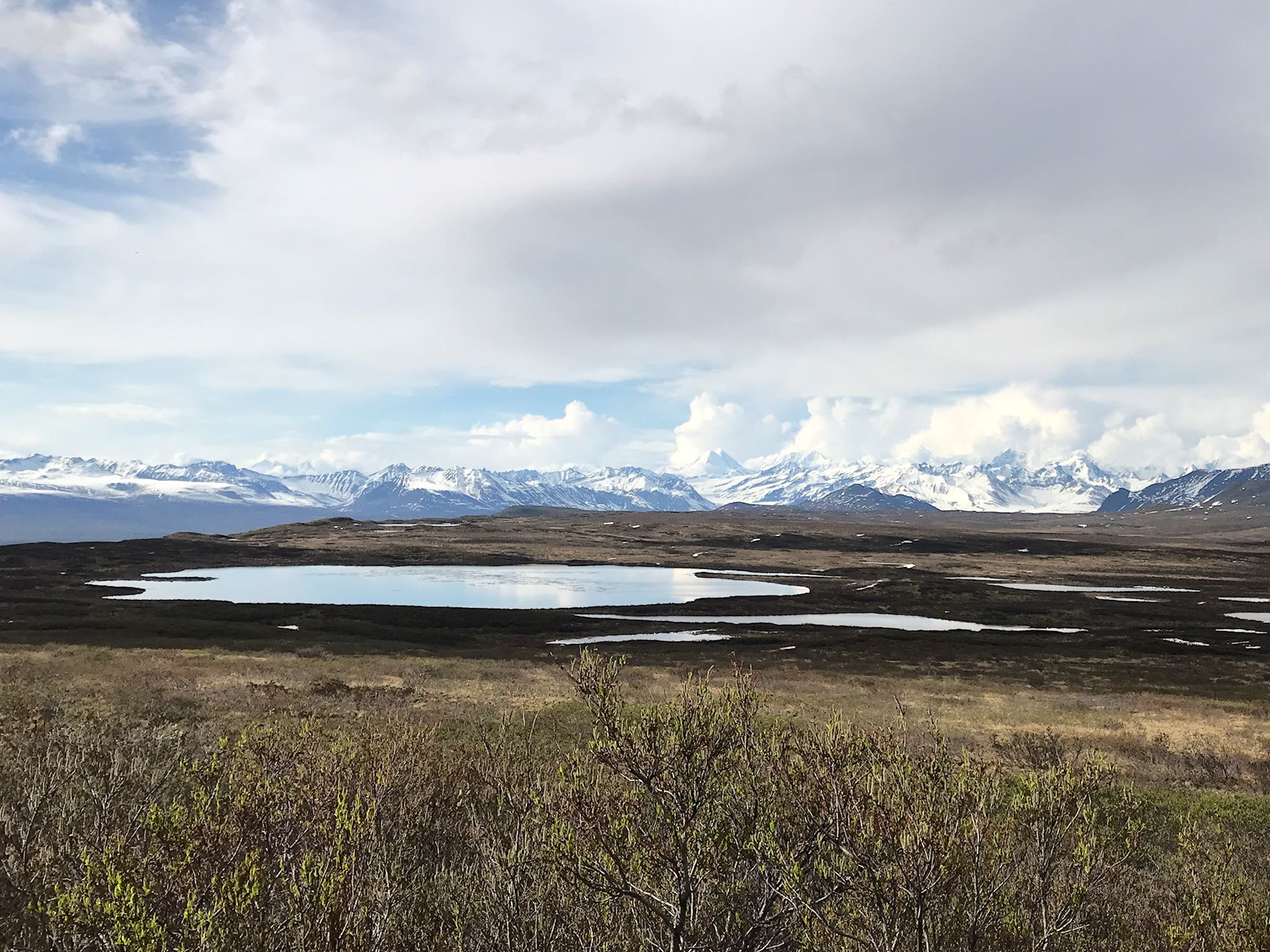
The Paxson side of the Denali Highway is relatively short and steep, climbing to MacLaren Summit, the 2nd highest pass in Alaska (4,086 feet), in 31 miles. The eastern Alaska Range, including Mount Hayes, was in sight essentially the whole way up. Camping is allowed anywhere along the highway, so we found a spot with a jaw-dropping view near the top of the pass. It’s always hard to sleep when the sun sets after midnight, and it’s harder still when that sun and the clouds are creating ever-changing light that dances along tall, glaciated peaks.
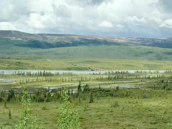
Susitna River Bridge 
Susitna River
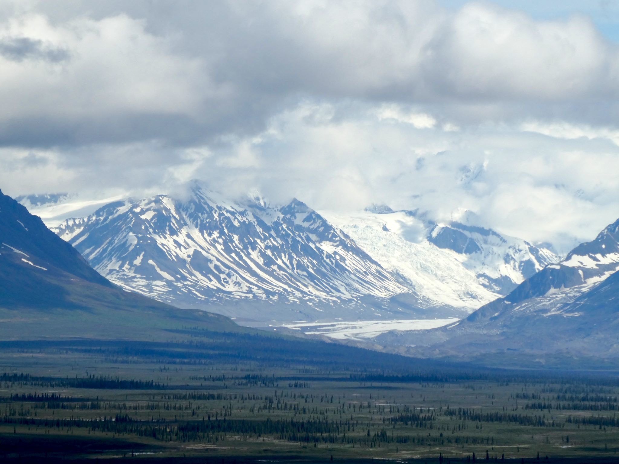

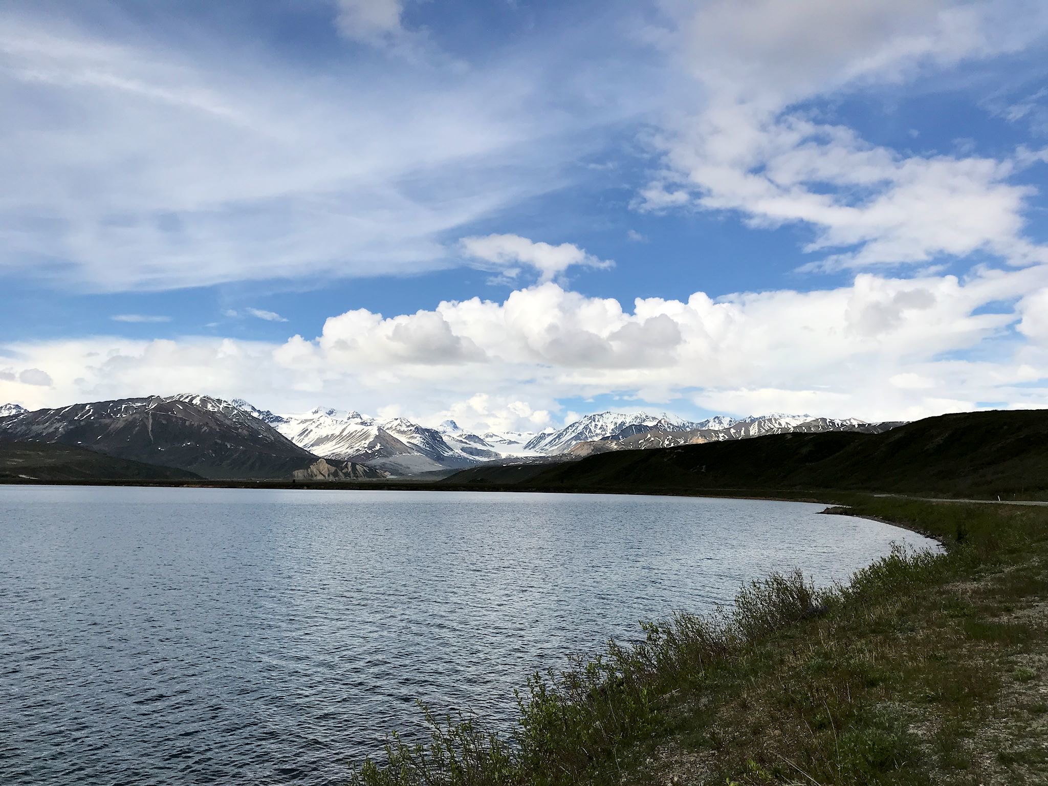
After a bit of early morning gawking, we head west down the Cantwell side of the Denali Highway. This side is a bit more remote with views to the south and west. The dirt road wound its way through wide meadows, over creeks and glacier-fed rivers and narrow valleys with mountain views in every direction. Every once in a while, we’d come across a hunting camp in the distance. We saw fewer than a dozen cars in over 100 miles.
Thanks Lloyd and Suzanne and Ed and A-J and Mike and Helen! No flats, no broken dishes. Opening the freezer door later in the evening, though, was like standing in the middle of an avalanche!
For anyone who’s interested, more Richardson Highway, Denali Highway – Paxson side and Denali Highway – Cantwell side pix…
Wow!
Agree! Who knew?
Double WOW! And, always ‘the road less traveled’……………
Agree! And you’re right, Barb, that’s our road!