
With a week or two left for exploring before we need to start heading toward Vermont, we decided to spend some of it on Vancouver Island. We got passage on the MV Coastal Renaissance, one of the largest double-ended ferries in the world and radically different from the 6- to 10-vehicle river ferries we boarded while in the Yukon and Northwest Territories. The height of our camper required that we board the truck deck – 6 lanes wide and seemingly a mile long, filled with trucks and other RVs. On an absolutely gorgeous day, we spent the 2-hour trip on the immense upper deck, trekking back and forth and all around as we took in the sights. From the departure dock at Horseshoe Bay, we could look back on the Sea to Sky Highway hanging off the mountain, splotchy with low clouds. Islands in all directions looked like mountains popping out of the ocean, many dotted with small communities along the shores. We looked back on the city of Vancouver, beautifully situated on the ocean, as more mountains came into sight on the horizon – Vancouver Island.
We debarked in Nanaimo, a pretty city on the east shore of the island. Without a plan, we headed north toward the most remote part of the island. Little did we know, the moon was soon to enter the seventh house, and Jupiter would align with Mars, and we were about to get a unique Vancouver Island experience…
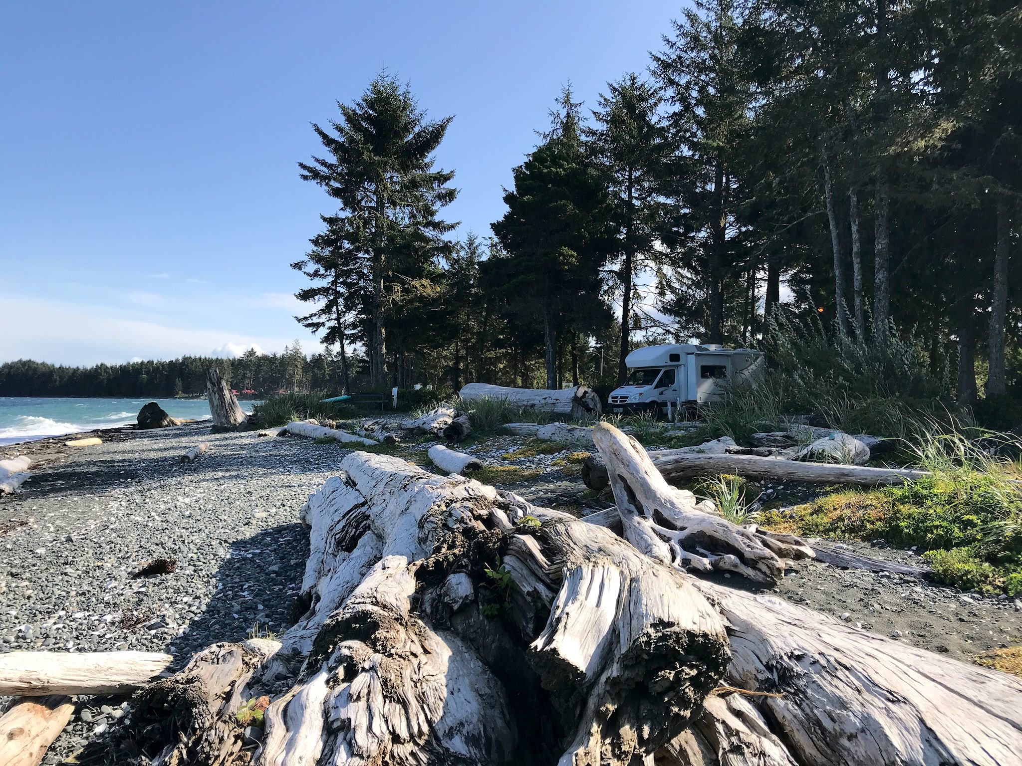
Vancouver Island is a rainforest. Yup, the thick moss-covered, fern-infused forest is thanks to the regular, frequent rain. Yet we enjoyed a rare 6 days out of 8 with full, bright sun. As one might expect, forestry is the primary industry for the island, particularly in the northern part. Unbeknownst to us, and with unfortunate consequences for the island economy, employees of the logging companies have been on strike for 3 months. Despite warning signs every few kilometers to watch out for logging trucks, we saw none. (I grew up in a forestry town in NH. Logging trucks are extra-large!) Fortunately, tourism remains strong and supports the economy. The small towns on the island are overwhelmed with tourists for about 70 days every year, with a smattering of visitors for another 20, and not many at all for the remaining 275. We’re part of the smattering. Towns, cafes, campgrounds, trailheads, beaches were the smatterers’ to share with a few locals. We found BC Visitor Centers to be excellent, including those on Vancouver Island. Late in the season, the staff was less busy than usual and were happy to share stories about the history and culture of each town, in addition to answering our questions and offering some great suggestions.
Since there’s only one road to the north end of the island, our trip would be an out and back. We headed all the way north, admiring the dense forest with occasional views of the ocean, tall peaks, and recognized the familiar (to me) sight of patches of uniform-height trees, each patch noticeably taller or shorter than its neighbors – the signature of tree harvests. We poked around in different places along our way back south. So here’s scoop from north to south.
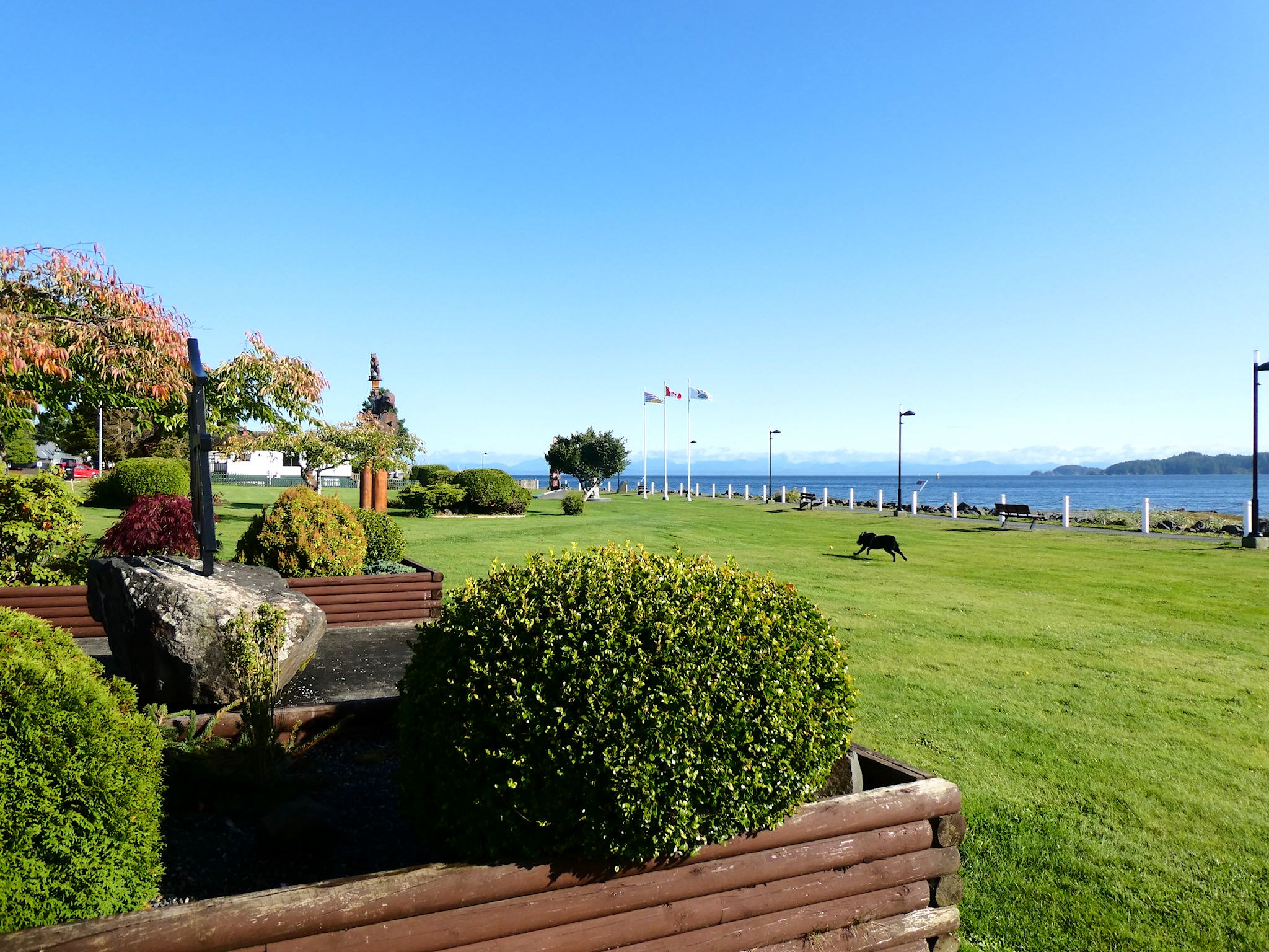
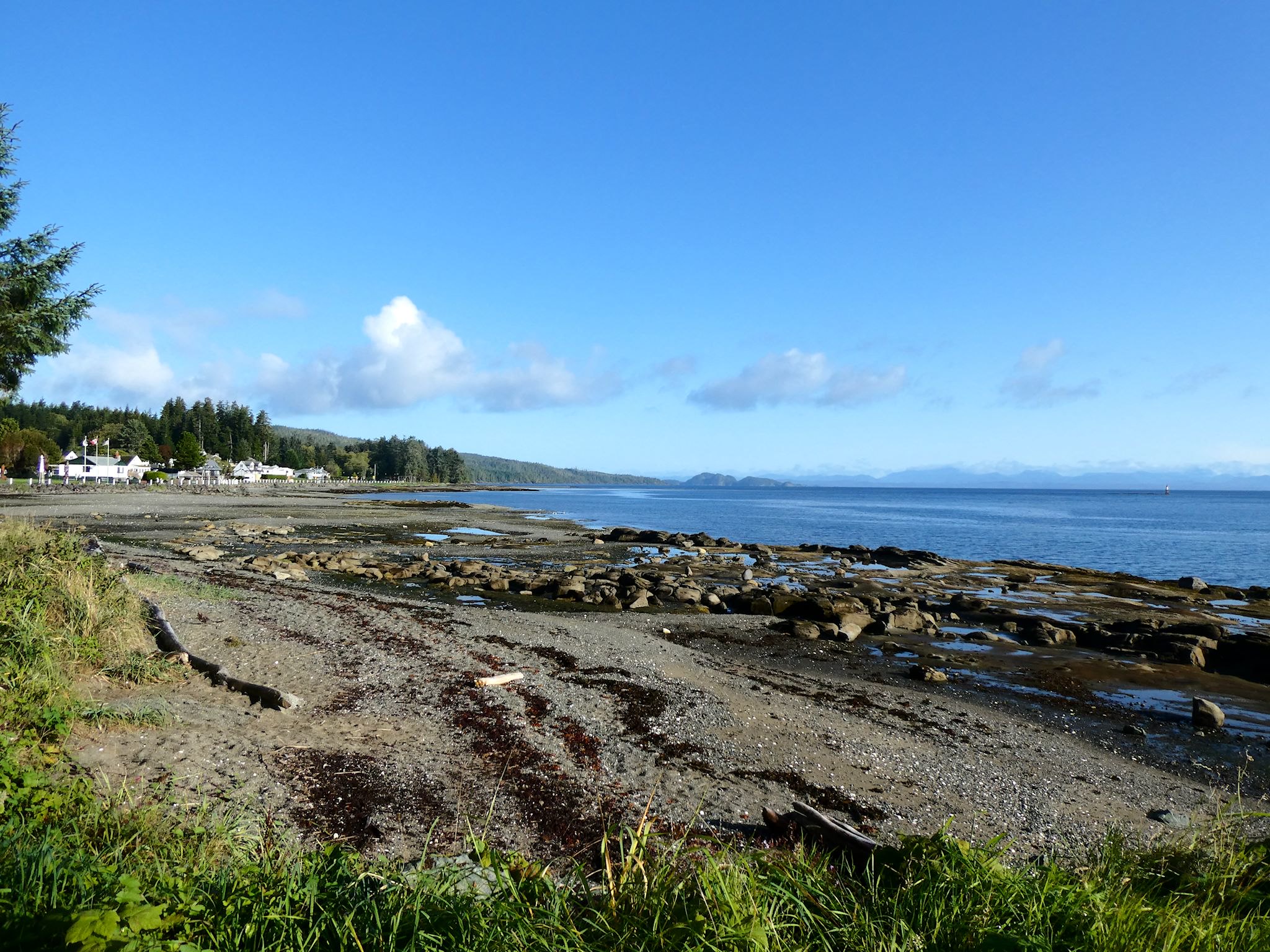
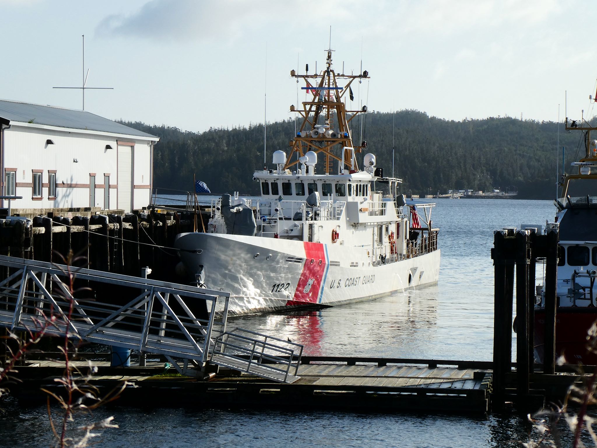
Port Hardy (pop 4000) is at the northern end of the (paved) road on the island (another end of the road town!). Known for their annual FILOMI celebration, honoring their resource-rich industries (FIshing, LOgging, and MIning), they could add ferry services to the list! We watched as numerous ferries boarded and unloaded passengers bound to or from small isolated towns on islands and the BC mainland. The town has a cool vibe. We wandered through the meticulously maintained Carrot/Rotary Park on the Hardy Bay filled with small town monuments before having lunch in a delightful cafe. We did a double take when we recognized a US Coast Guard ship in the port; we later found out they were participating in international search and rescue exercises with their Canadian counterparts. The locals we spoke with couldn’t imagine living anywhere else – they were tucked in between mountains and the ocean, at the end of the road.
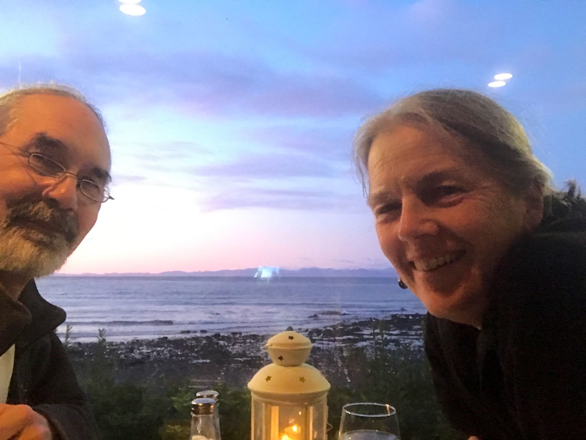
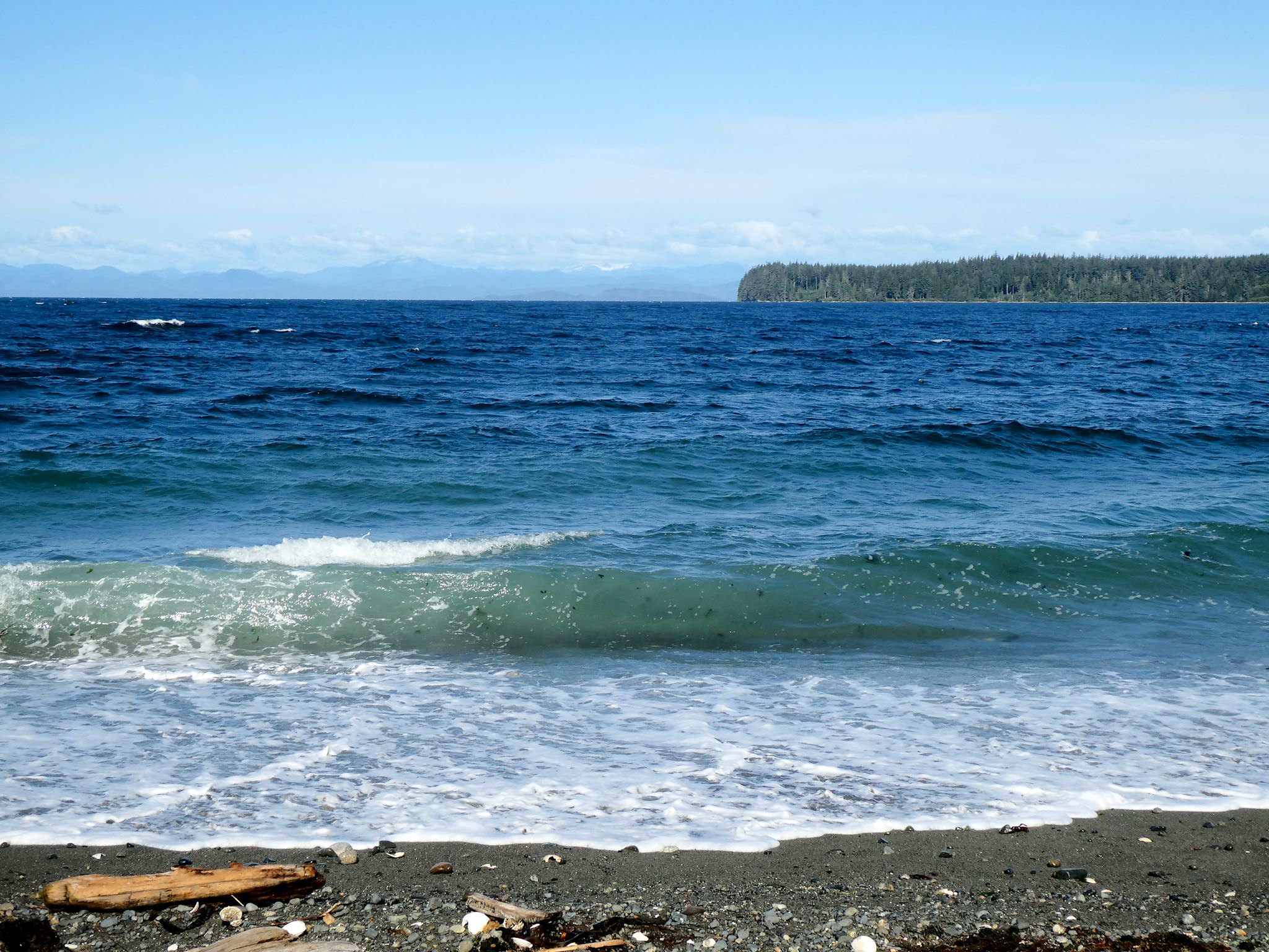
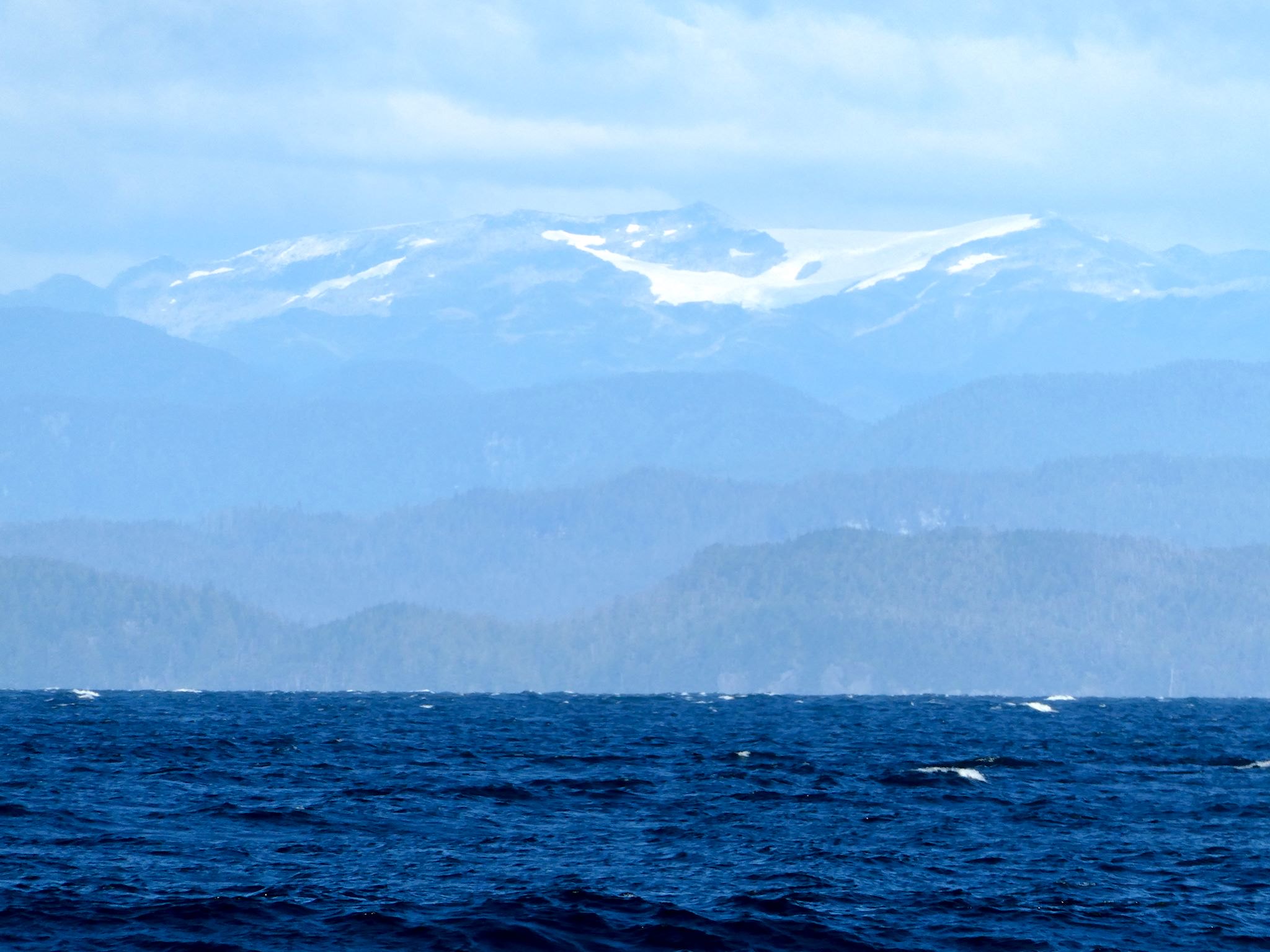
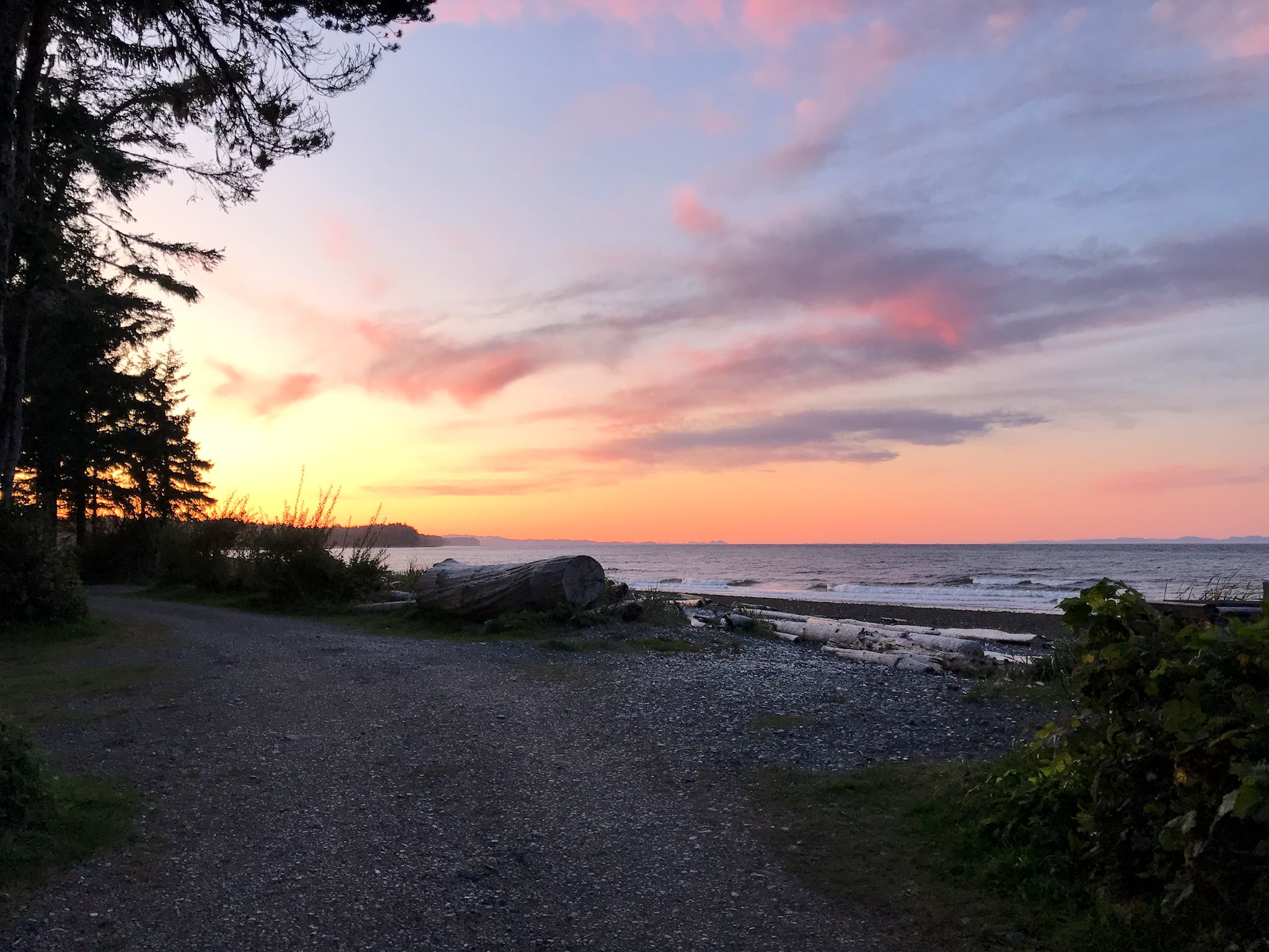
Each year, we look for a fun dinner out to celebrate our wedding anniversary on September 27. At the urging of several locals, we selected the Cluxewe Waterfront Bistro for our 33rd. Just outside of Port McNeil (pop 2000), another small logging and ferry town, the restaurant is conveniently located in the middle of an awesome campground, right on the water. With many options, we chose our campsite with amazing views of Queen Charlotte Strait, Malcolm Island, and layers and layers of mountains (and a few glaciers) that answered our question of why there are so few roads in western BC. And who knew that’s where we’d find an eclectic, innovative fusion menu with imaginatively prepared food served to us at our table with a great view overlooking the strait…
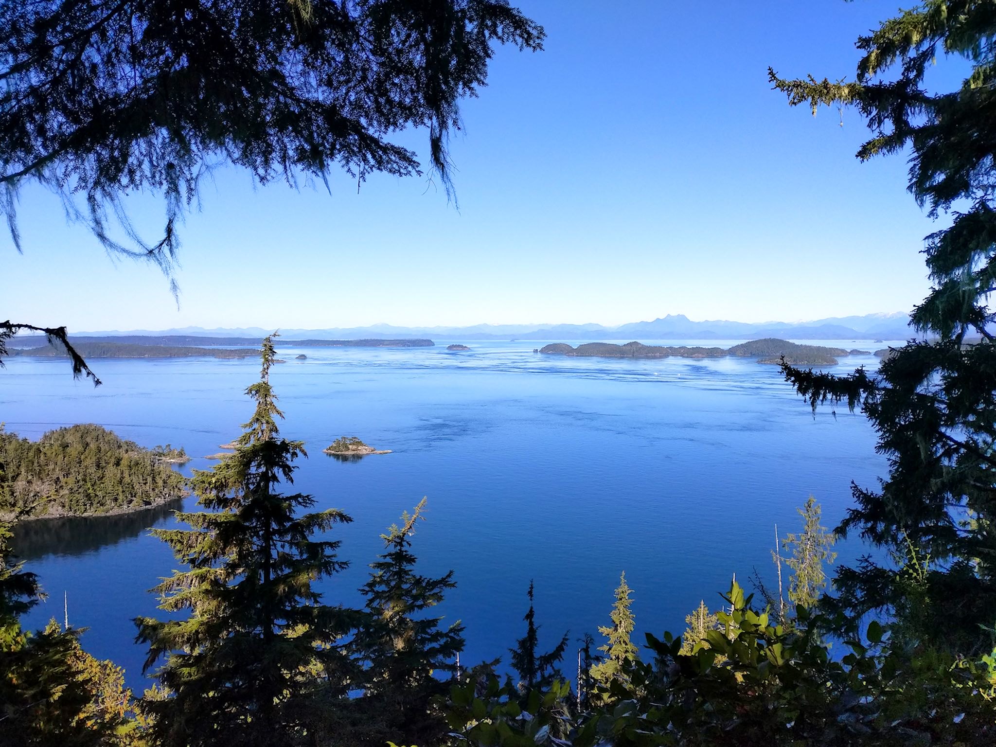


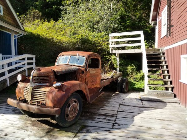
One of the aforementioned less-busy-than-usual visitor center guys suggested we consider the Dave Farrant Trail, a short and scenic hike along cliffs over the strait starting out of Telegraph Cove (pop 5 year round, a hundred or so in summer plus many tourists). We loved the hike, and the views of the Broughton Islands from the cliffs were gorgeous. The town itself was the big surprise. Established in 1912, it was a lumber mill town with a port for shipping products out, and it was the end of the Vancouver Island telegraph line. As they fell into disrepair, the mills were moved and completely rebuilt in nearby Beaver Cove, where they are still in operation. The original homes clustered on a boardwalk around the tiny cove were restored and are now available for tourists to rent. The picturesque old town, looking very much like a movie set, is popular with tourists who come to enjoy kayaking, whale watching, sport fishing, and grizzly bear & wildlife tours – not to mention cliff hiking!
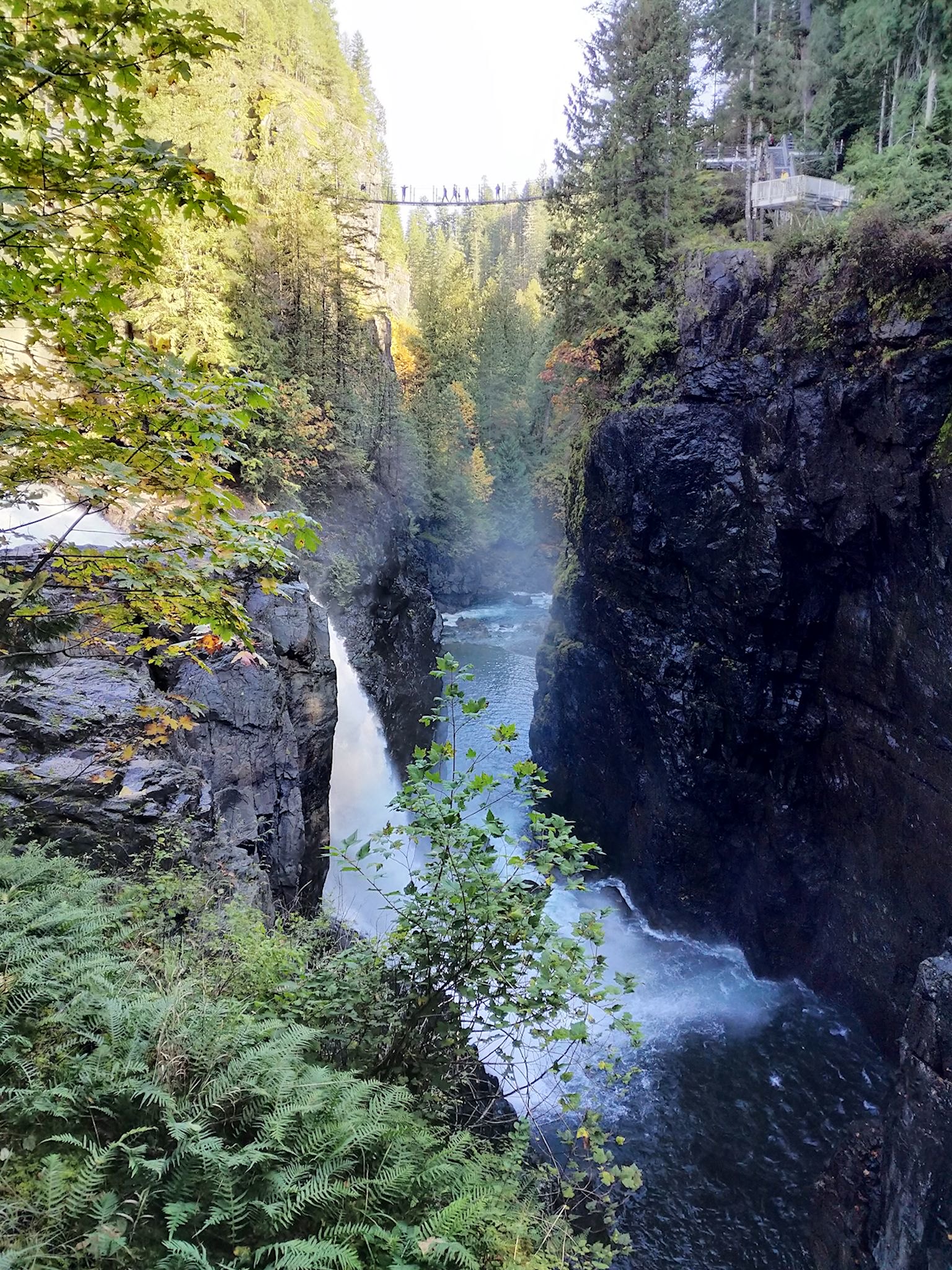

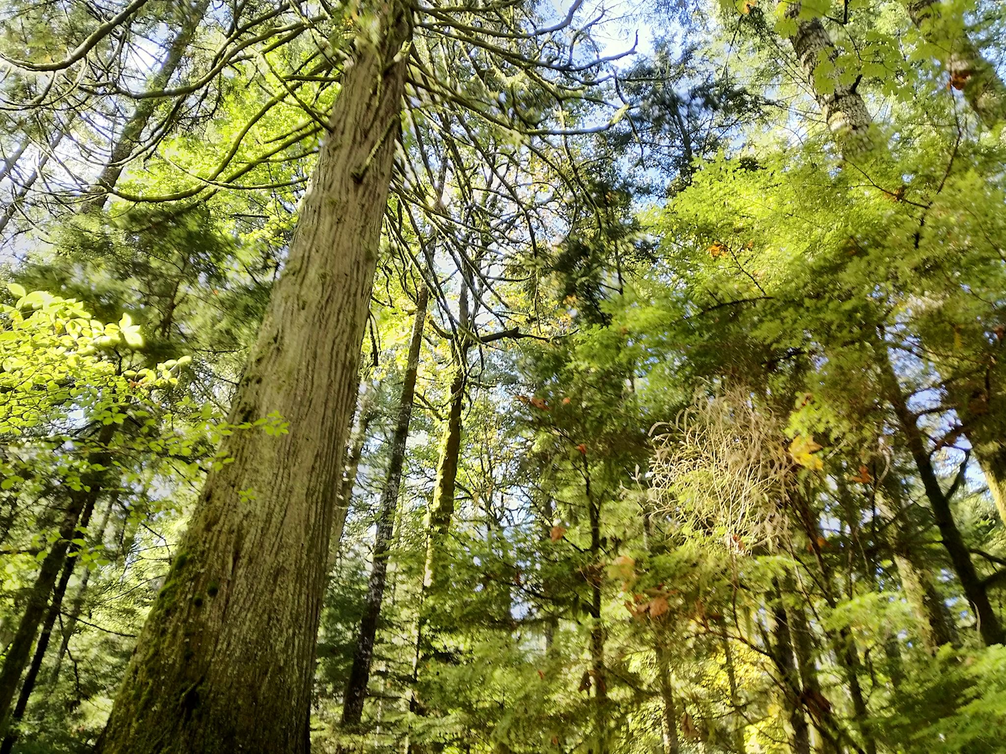
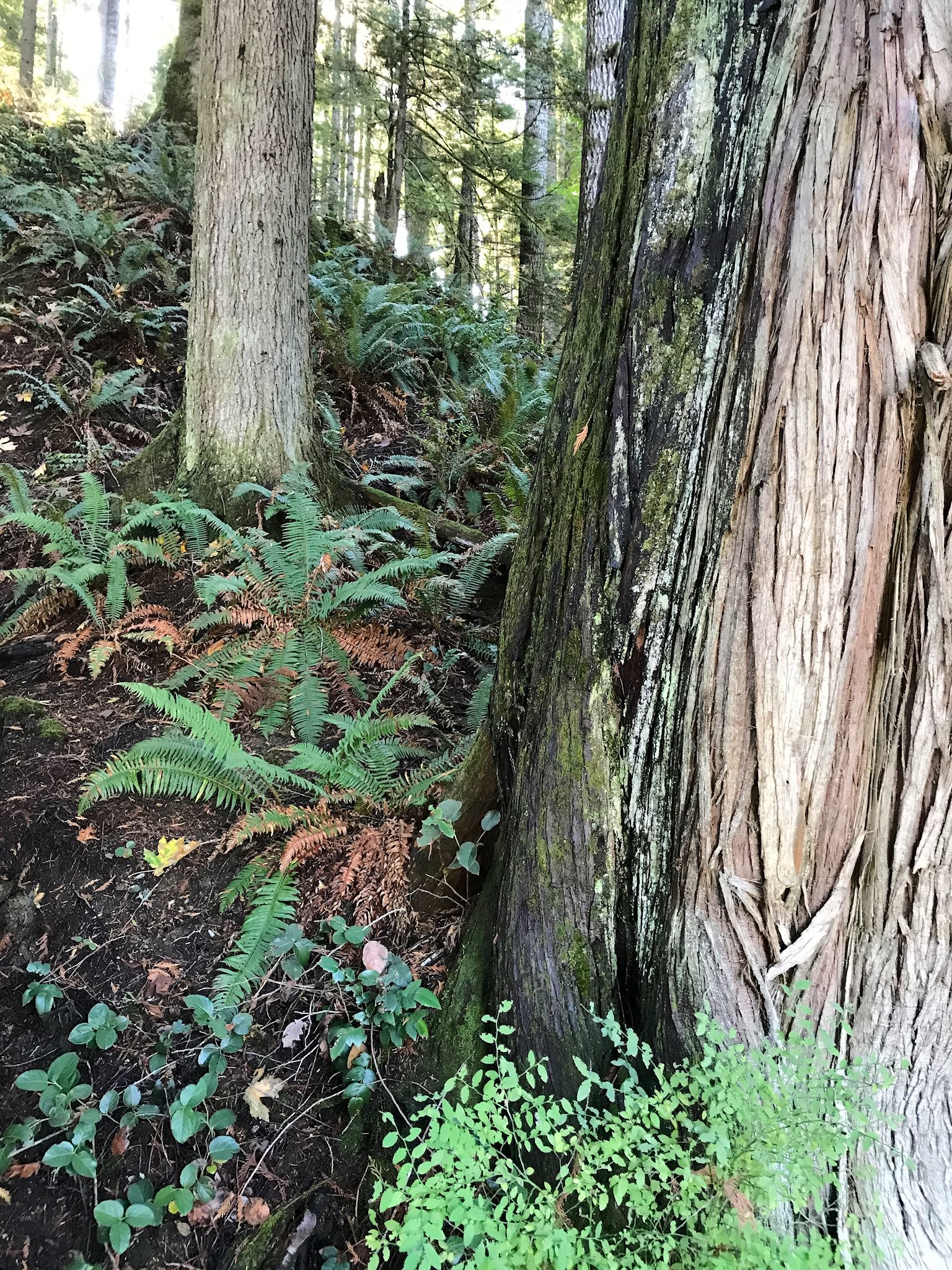
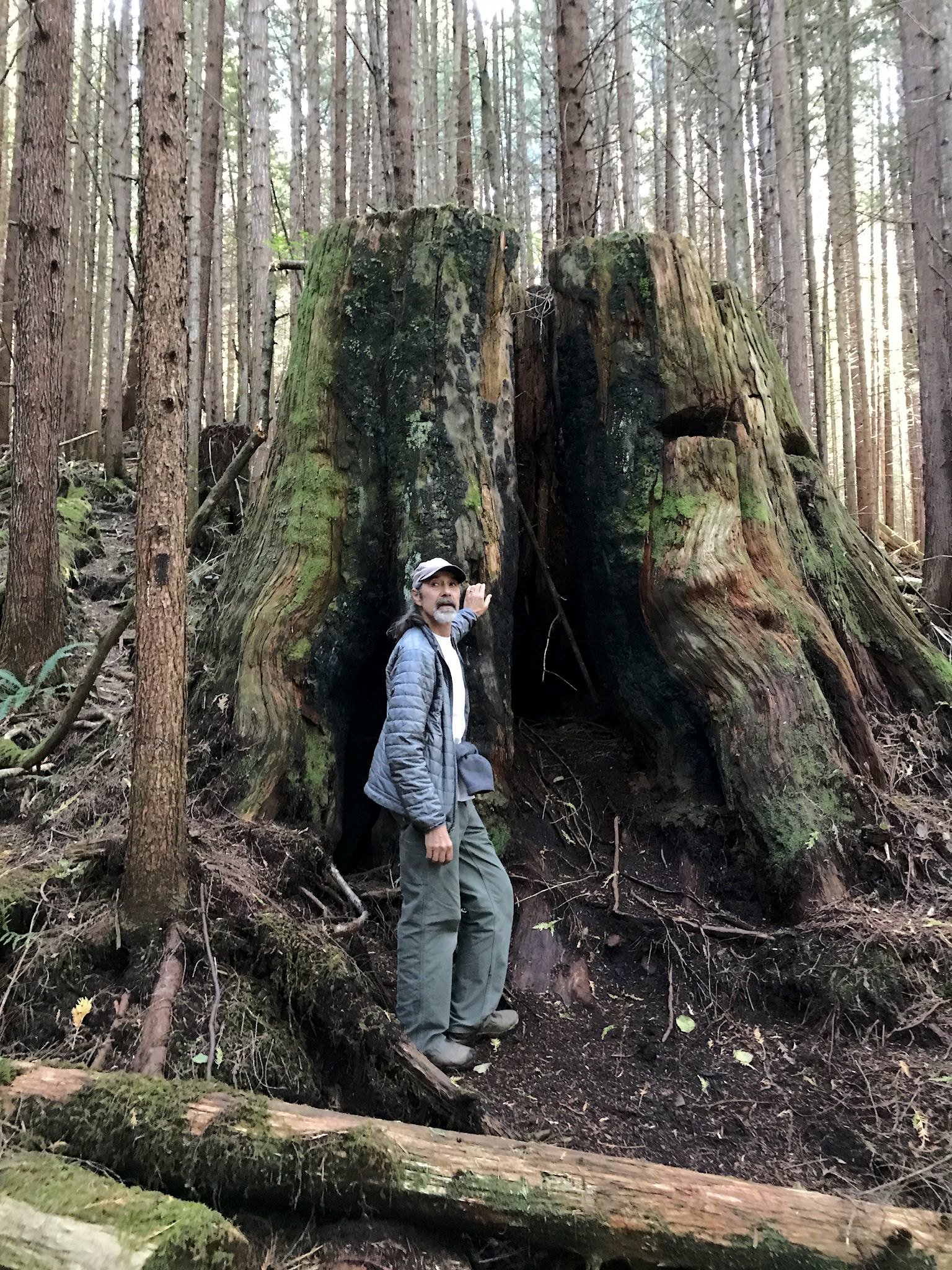
Campbell River is the city in the middle of the island and the gateway to two provincial parks, as well as the home to an historic and recently refurbished hydroelectric power generation operation that is a collaboration between the province, the forestry companies and BC Hydro power company. Elk Falls Provincial Park showcases the tall falls and collaboration. We hiked along a trail system that provided vantage points of the falls from above and below. The trail also meandered through old-growth forest, with giant cedars and Douglas firs that we could only identify by their bark, since the needles were up so high that we couldn’t see them from the ground.
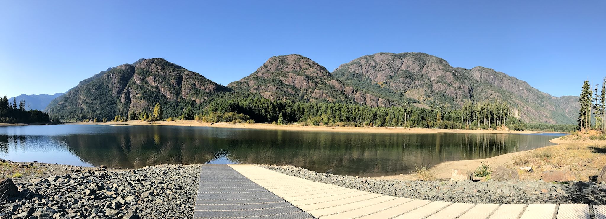
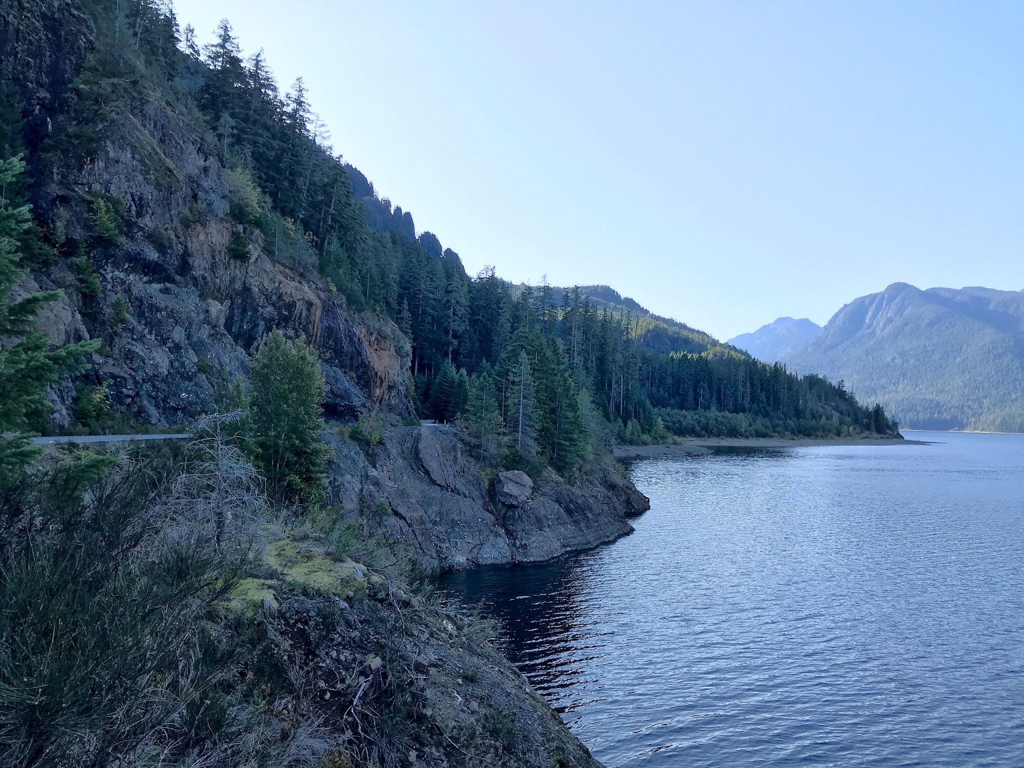
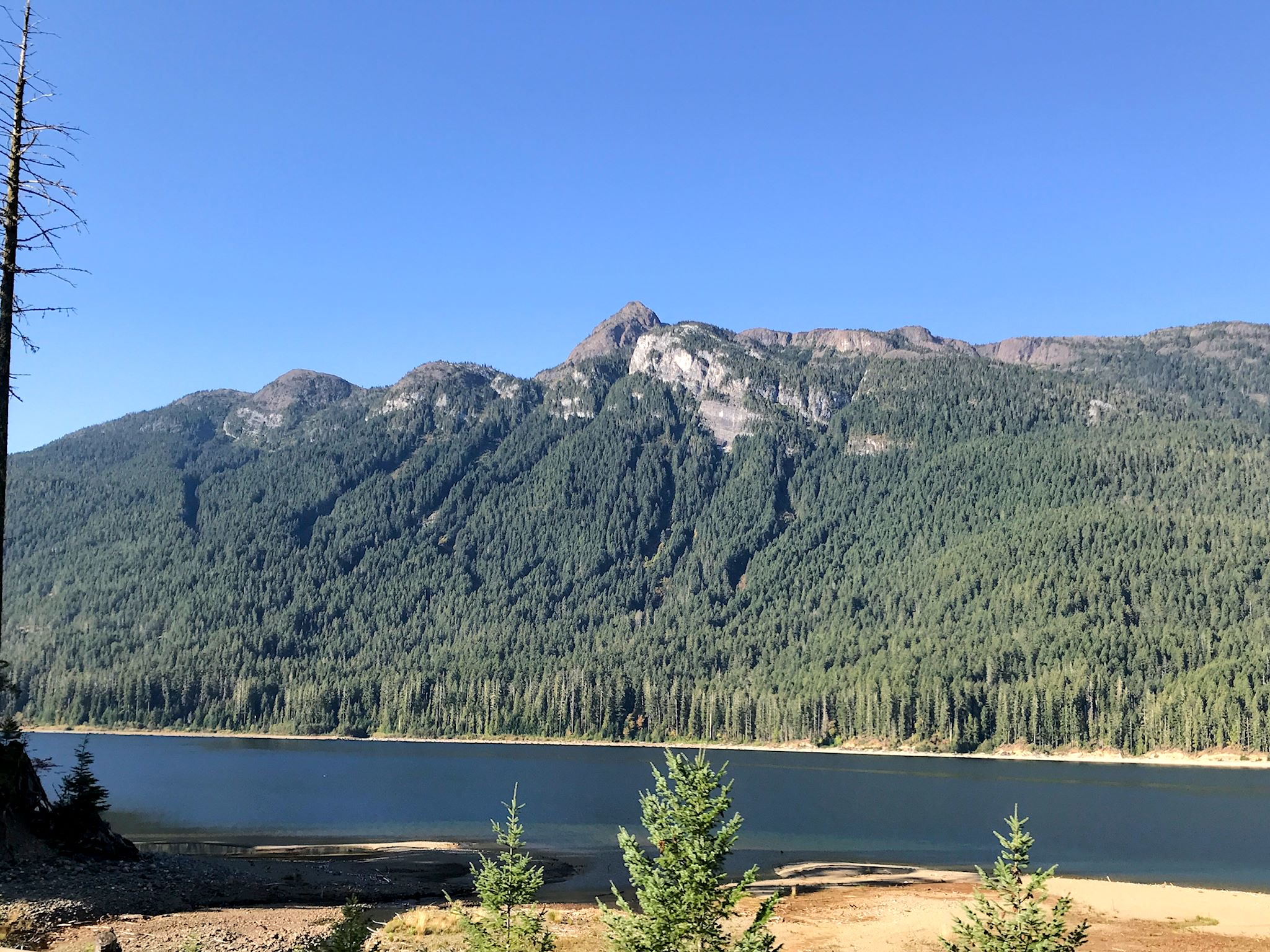
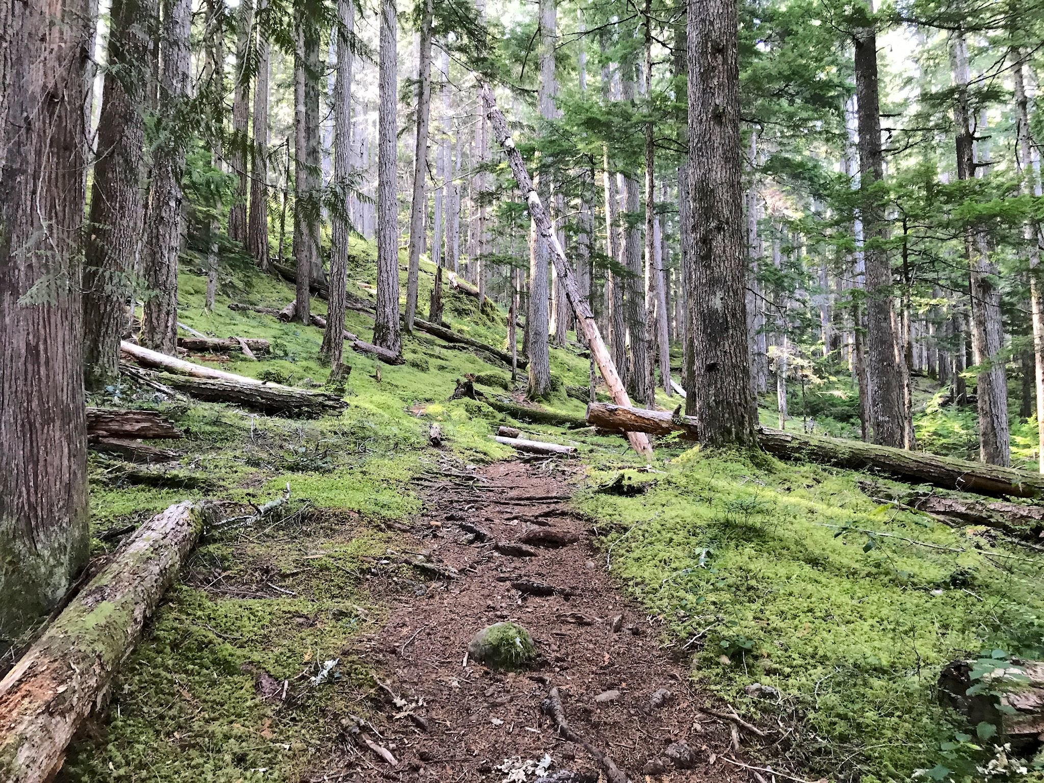
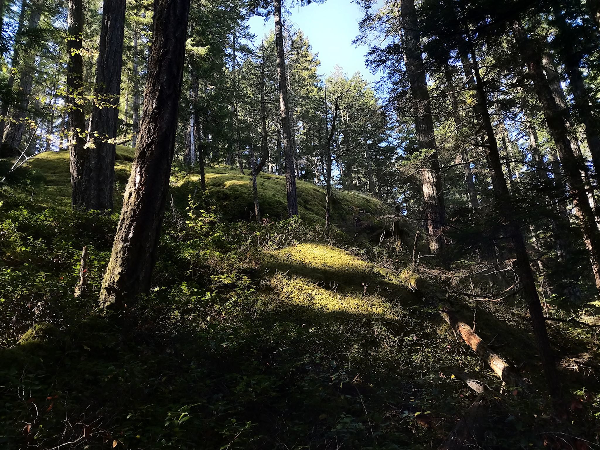
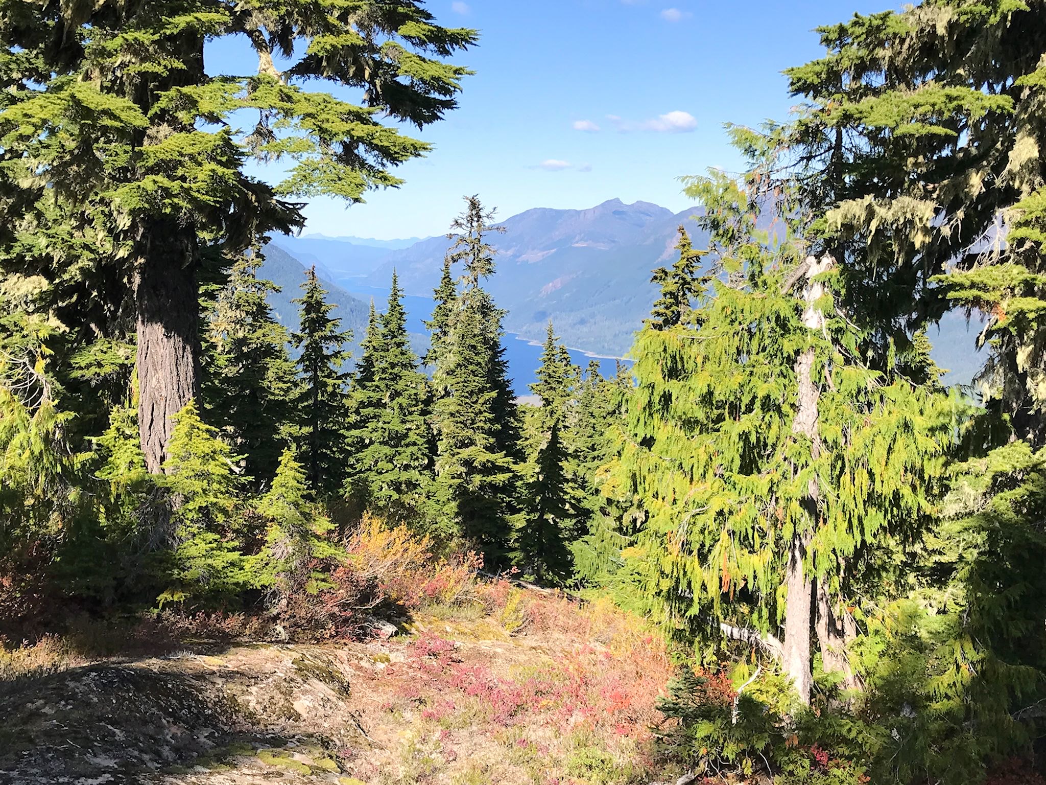
Strathcona Provincial Park includes the tallest peaks on Vancouver Island and features Buttle Lake, a long, narrow lake between high cliff walls, courtesy of BC Hydro. The lake is 23 km /14 miles long. Yet at 60 kph (40 mph), it took us hours to drive its length – too many turnouts for photo ops! We took a hike to Flower Ridge, radically different from any we’ve done this summer (maybe ever). We were expecting switchbacks and there were none. The trail makes its way essentially diagonally alongside a long, thin, steep mountainside to the ridge. It alternates sections that are straight up with sections that traverse through thick moss and large trees. Along the top of the ridge, there are views in all directions, somewhat obscured by the tall trees. At first, we were disappointed with our photos – they didn’t convey the beauty we saw with our eyes. Then, we giggled a bit as the realization set in… If there were sufficient sunlight to provide great photos, we wouldn’t be in a rainforest!
For anyone who’s interested, more ferry, north Vancouver Island, Port Hardy, Cluxewe, Telegraph Cove, Dave Farrant Trail hike, Elk Falls Provincial Park, Strathcona Provincial Park, Flower Ridge hike pix…
Congratulations!
Thank you!