Vancouver Island is about 1.5 times the size of Vermont in both area and population, with a comparable amount of geographic diversity. Remembering that we’ve chuckled about travelers planning to visit Vermont in 2 days (‘It’s so small!’), we allotted 10 days to explore Vancouver Island and found it wasn’t quite enough – there’s so much there!
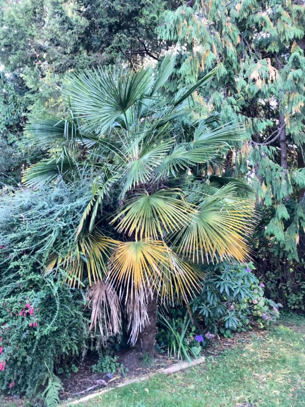
The coasts, the ferries, the forests, the farms, orchards and vineyards… The small towns, the city of Victoria… The hiking, kayaking, biking, surfing… (Surfing?) The rainforest with giant cedars, Douglas firs, ferns and moss, the palm trees… (Palm trees?) Here’s more on the lower part of the island…
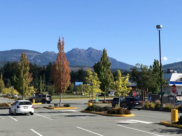
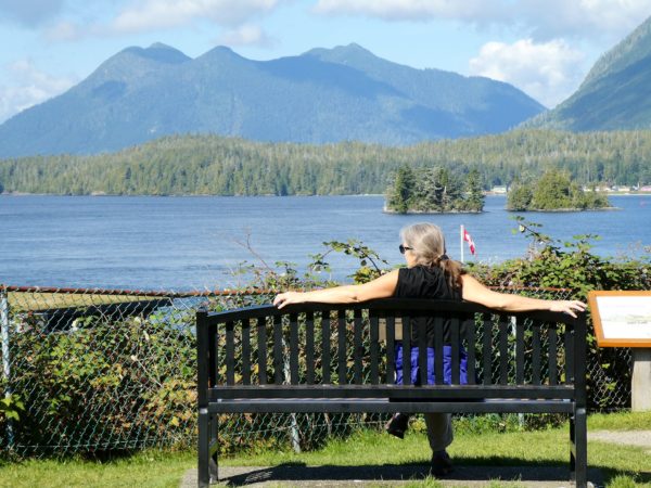
There’s only one paved road that goes to the west coast of Vancouver. Highway 4 starts just north of Nanaimo and ends at the Pacific Ocean, affording visits to Tofino, Ucluelet, and Pacific Rim National Park (all highly recommended by our friends at Drumeo). The road passes through a few small towns and the city of Port Alberni. (Hmmm… why does a city in the center of the island have ‘Port’ in its name? Well, it turns out Port Alberni is on a 40 km (25 mi) narrow inlet with passage to the Pacific, and it is, indeed, a port!) The remainder of the highway is a narrow, winding road through the mountains with more passes than we could count. The view finally opens up over Kennedy Lake, the largest lake on Vancouver Island, shortly before reaching the west coast and the Pacific Ocean.
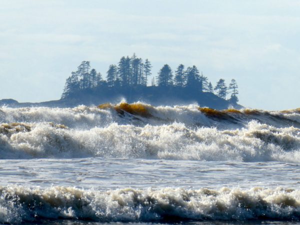
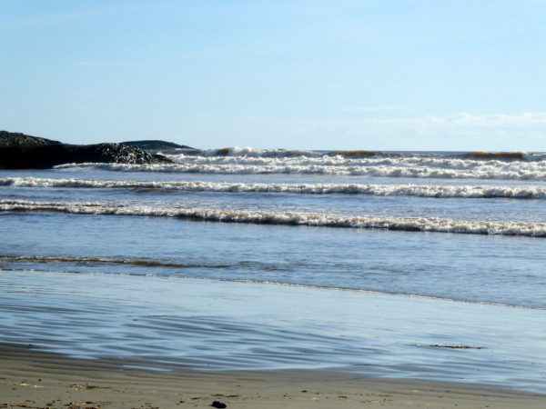
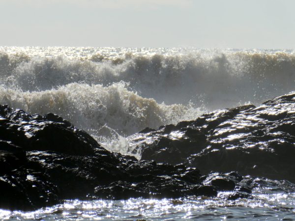
This part of the island has the only sandy beaches in British Columbia. It is quite different from most beaches we’ve seen anywhere else to date. The dense rainforest continues to the absolute edge of the bluffs on the coast, with narrow sections of sandy beach between rocky outcroppings at low tide. Some geo-meteorological magic creates extra-large waves year-round, making the area a haven for surfers. Surf BC!
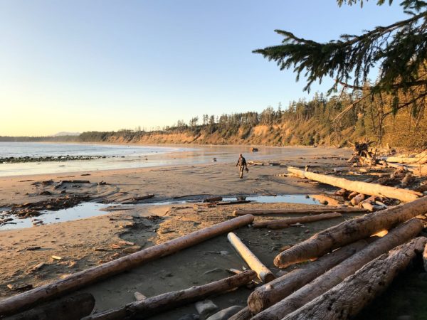
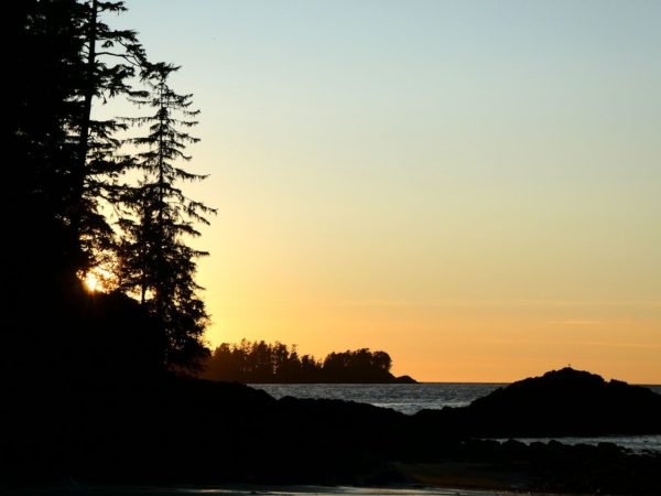
Ucluelet (pop 1700) is the smaller of the two towns on the coast and the hardest to pronounce. The start of our visit there, in the pouring rain, was a bit constrained. Nonetheless, we noticed several surf shops, and we took note of the many coffee shops throughout the tiny, hilly downtown, as well as several natural food restaurants and a natural food store. Then we noticed that our (relatively) small RV was totally outnumbered by Volkswagen vans, all with surfboards on the roofs, and many with tie-dyed curtains. Old hippy surf town! As the rain let up and sunset approached, we followed a trail to Florencia Bay.
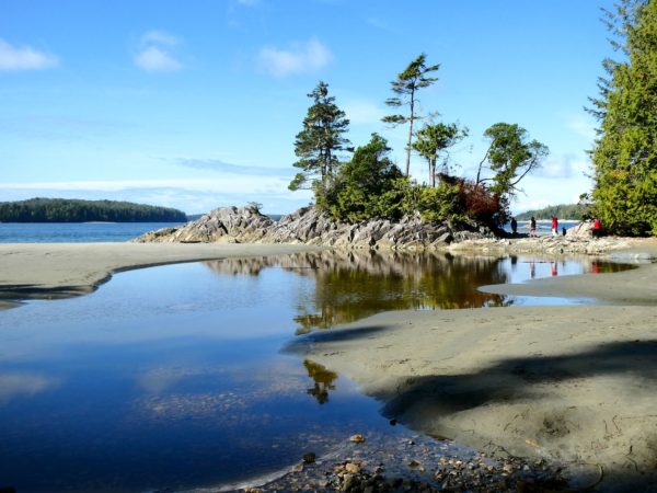
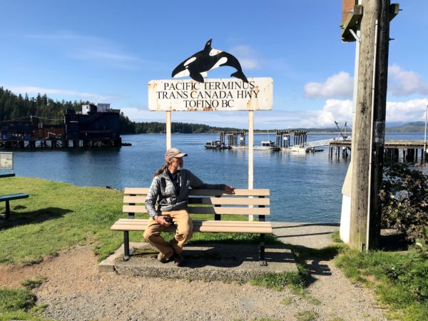
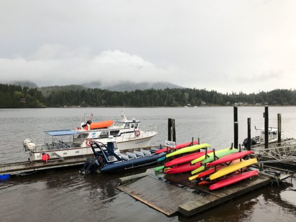
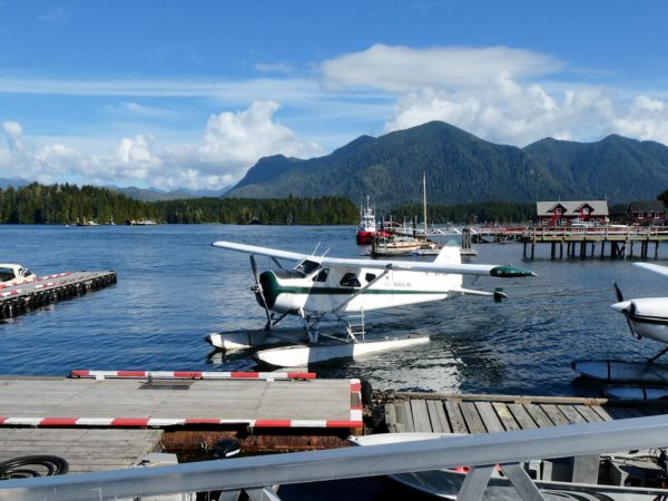
Walking around Tofino (pop 2000), we found a similar surf and artist vibe with a larger selection of lodges, restaurants, gift shops and tour companies folded in among the surf shops. We poked around a bit more and found trails to Tonquin Beach where we could watch the waves. Parked on a side street nearby, we found… Dolores and Alejandro! We were all heading to the same Parks Canada campground between the two towns, so we arranged to meet up there later.
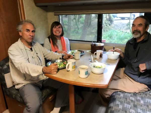
We’re still in the rainforest, though, so the rain was no surprise. What better way to spend a rainy afternoon than with friends at camp. Dolores and Alejandro brought a wonderful salad to share, we offered dessert (Clif Bar chopped up into cute bite-sized chunks – it was chocolate!) and we chatted into the evening. We came to the conclusion that our 7 meetings (only 1 was planned) on the road between Seward, AK and Tofino, BC weren’t totally coincidence. Our RV lifestyles and travel philosophies are so similar, it was highly likely that we’d be visiting the same places in the same towns at a similar pace. Their current trip ends soon and they are heading back to Argentina to plan the next. We’ll meet again, somewhere…
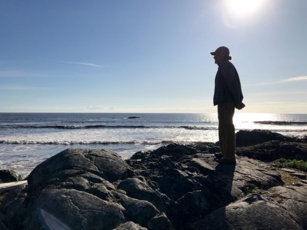
Pacific Rim National Park is beautiful! It preserves and provides access to several of the largest beaches on the west coast of the island. On a non-rainy day, we walked the length of Long Beach, scrambled over rocks (there was a trail, but scrambling was much more fun!) to Combers Beach, and marveled at the waves.
Heading toward the lower island, we rolled through pleasant farmland, orchards and vineyards in the south central portion of the island. Approaching Victoria at the southern tip of the island, the terrain turned once again to steep mountains surrounded by interesting bodies of water – inlets, harbors, coves, straits, arms.
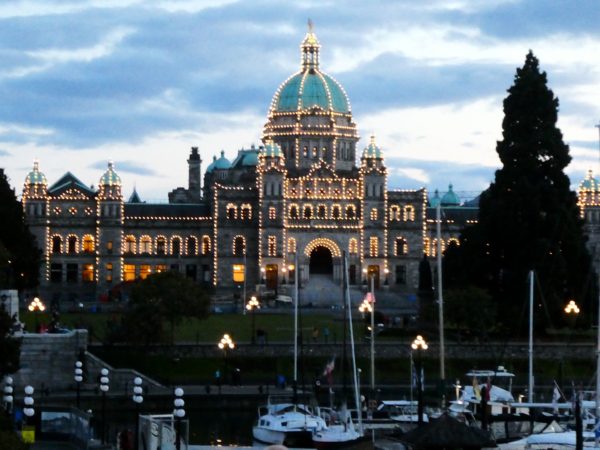
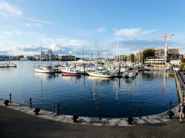
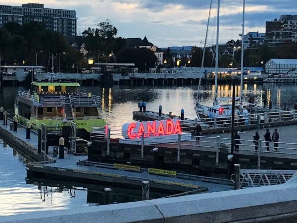
Anticipating a section of major road construction, we had left early, planning to catch the last ferry of the day to Port Angeles, WA. An unexpected 2-hour road closure assured that we’d miss that boat. Fortunately (though our ship had sailed), we arrived just as the ferry terminal was closing up, we were allowed in to take our space in line (first!) for the morning ferry, we could spend the night there, and Yahoo! An opportunity to explore Victoria just a bit. What a beautiful city! We enjoyed our wanderings through the James Bay neighborhood, around the inner harbor and the old downtown. Stopped in our tracks by dinner specials listed on a sandwich board on the sidewalk, we ducked in and found ourselves in a delightful vegetarian restaurant, celebrating and savoring our last night in Canada.
The morning ferry boarded and sailed on time on a typically cloudy, sprinkly day. We took hundreds of pix on the totally uneventful ferry ride, just because we haven’t used these (big) ferries often, when suddenly a crowd formed on the port side of the boat. Of course we investigated. A whale was joyfully popping its tail in and out of the water, an absolute delight to watch. Interestingly enough, as we recapped our time in Alaska and western Canada, we had recently noted we’d seen every large critter we’d hoped to see except a whale. Saw one! The back half at least…
For anyone who’s interested, more interior Vancouver Island, Ucluelet, Tofino, Pacific Rim National Park and Victoria pix…
