
We spent some quality time exploring Ontario in 2018. We headed east through North Ontario in May, and returned via South Ontario in October. The difference between the two is striking. North Ontario is nearly 1 million square kilometers of arboreal forest and many, many lakes on the rocky Canadian Shield. With <1 person per square kilometer, there are more moose than people. South Ontario is just under 100,000 square kilometers of farms, wineries and orchards with 5 big lakes, 3 of them great – Erie, Ontario and Huron. Canada’s largest city, Toronto, and the capital of Canada, Ottawa (on the northern edge of South Ontario), drive the population density to 120 people per square kilometer. The dividing line is the nearly 10,000 square kilometer Algonquin Provincial Park, home to 12 million* beavers.
There was one area of Ontario we had yet to visit – Southwest Ontario. This is an area within South Ontario that touches Lake Ontario and Lake Huron. Half of this area is north of our 44° home latitude, half is south.
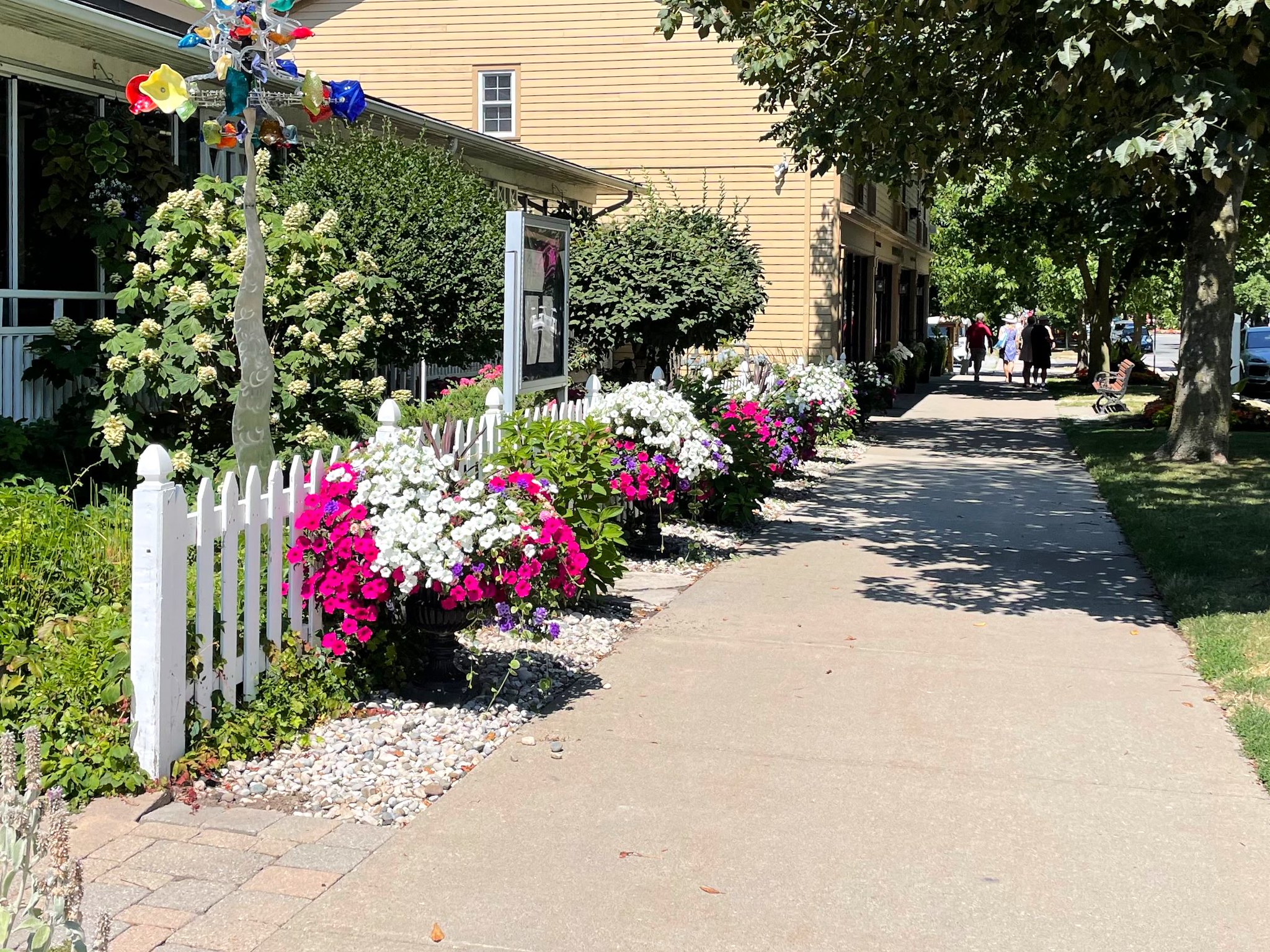
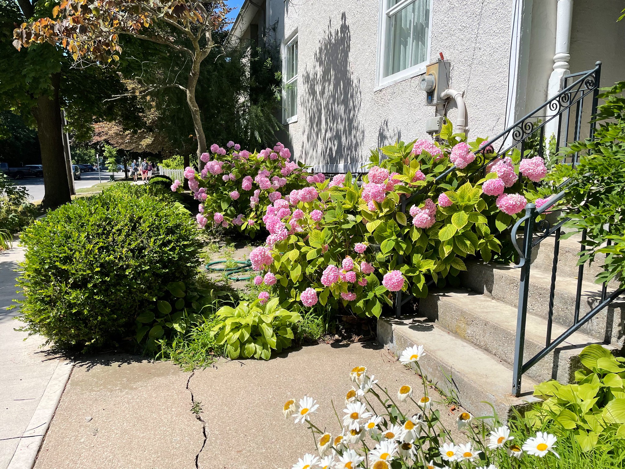
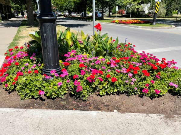

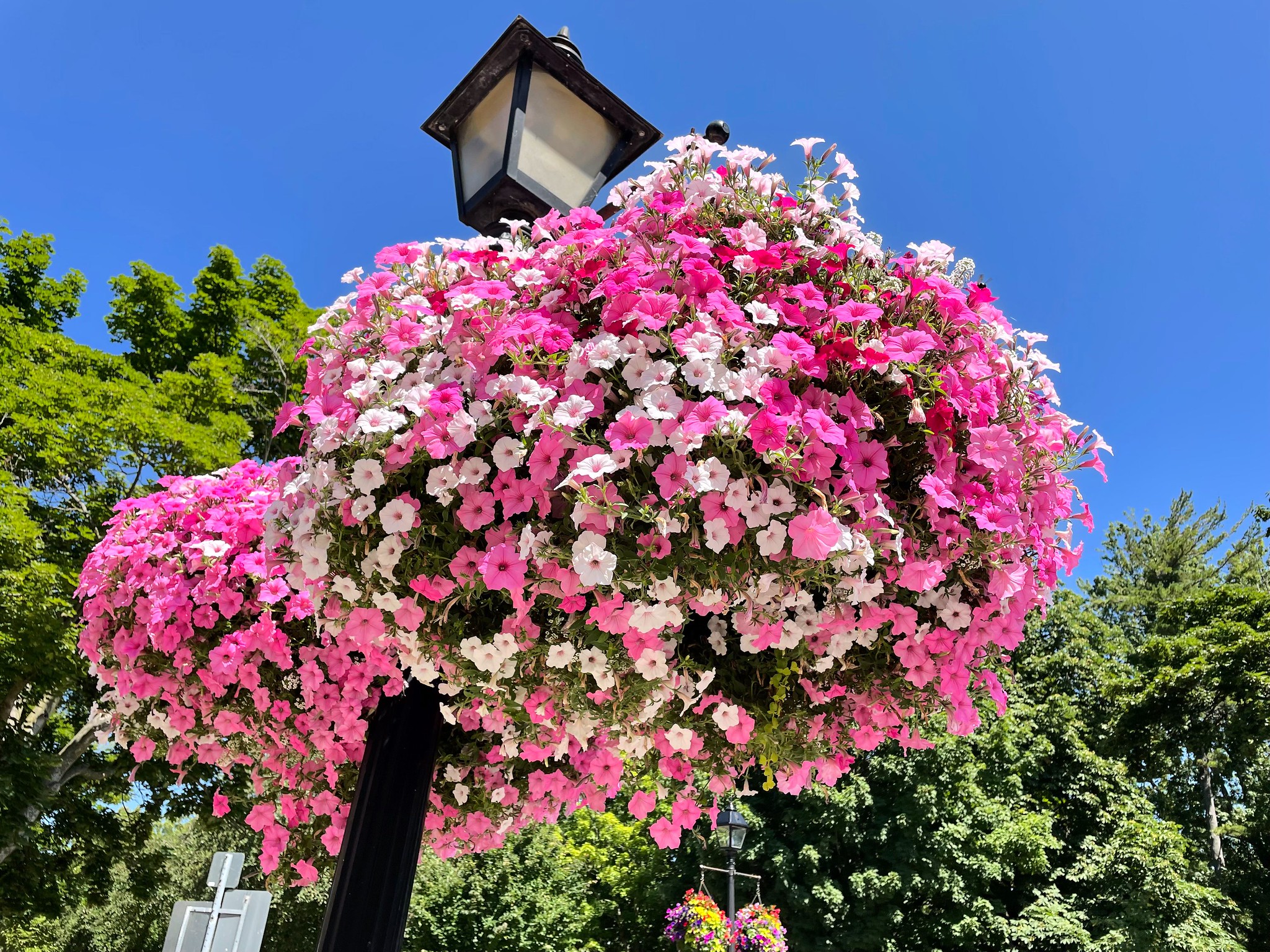
Our first stop after crossing into Canada was a beautiful little city called Niagara-on-the-Lake. The arts and theatre is quite popular in this part of Ontario, which is reflected in the residents and events held in NOTL’s many theatres. Every square centimeter of the city is perfectly manicured, including flowers on essentially all lamp posts, crosswalks and dividers. Parks, hotels and homes are all elegantly landscaped. The city’s walking paths along Lake Ontario, which we thoroughly enjoyed, are a key attraction. Marilyn’s top recommendation was the Queen Street shopping district. Not usually much for shopping but enticed by the picturesque streetscape, we strolled along – and I bought a hat! We enjoyed our lunch at Queen’s Royal Park, soaking up the sun and the views.
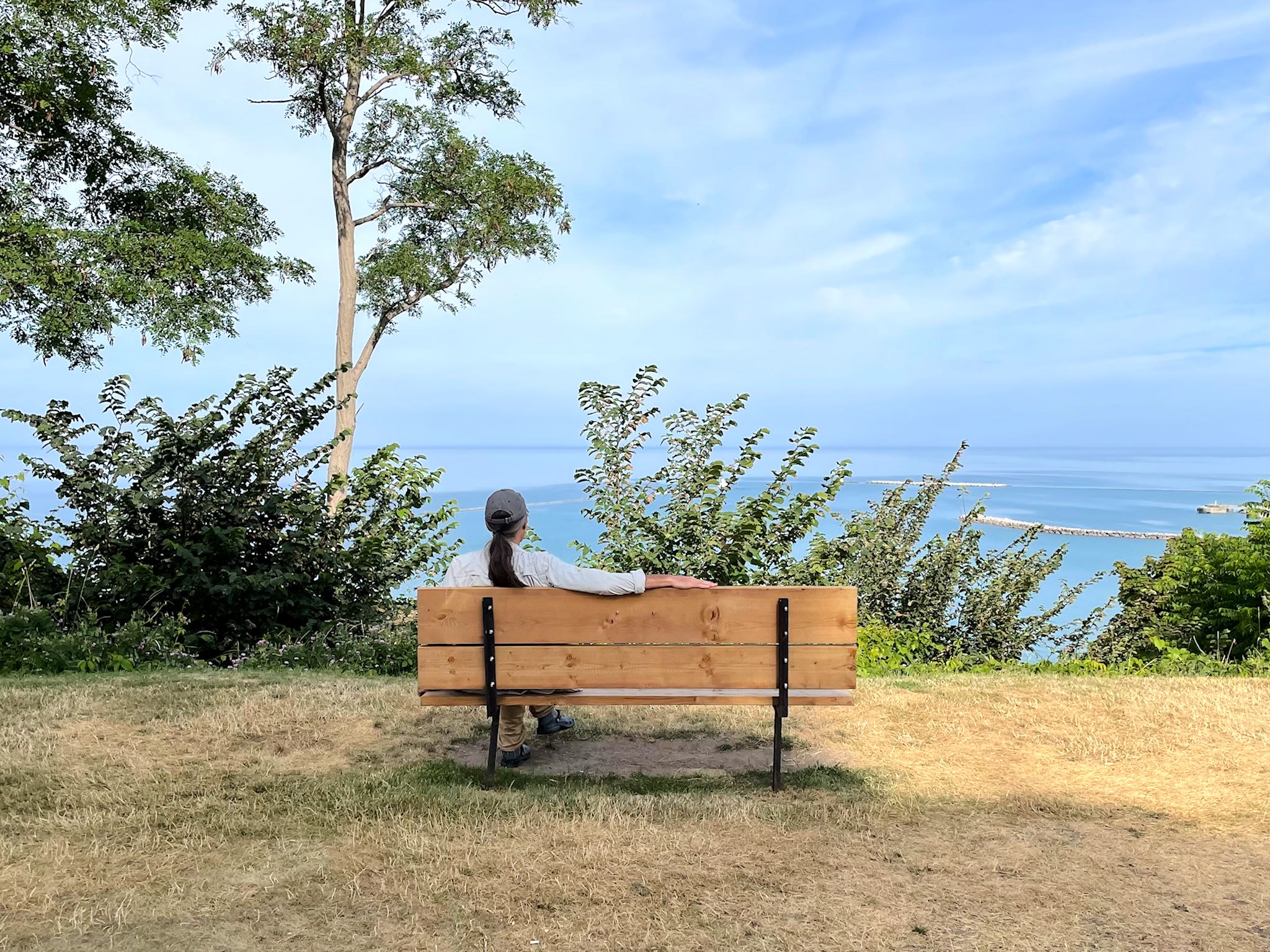
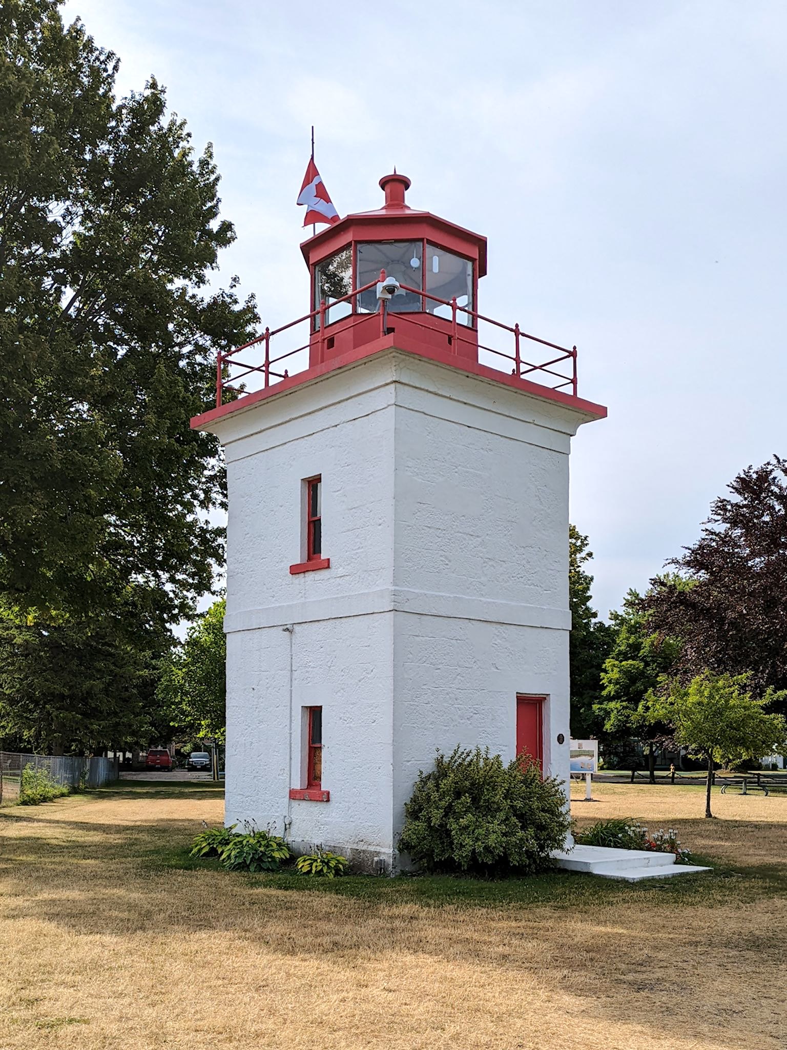
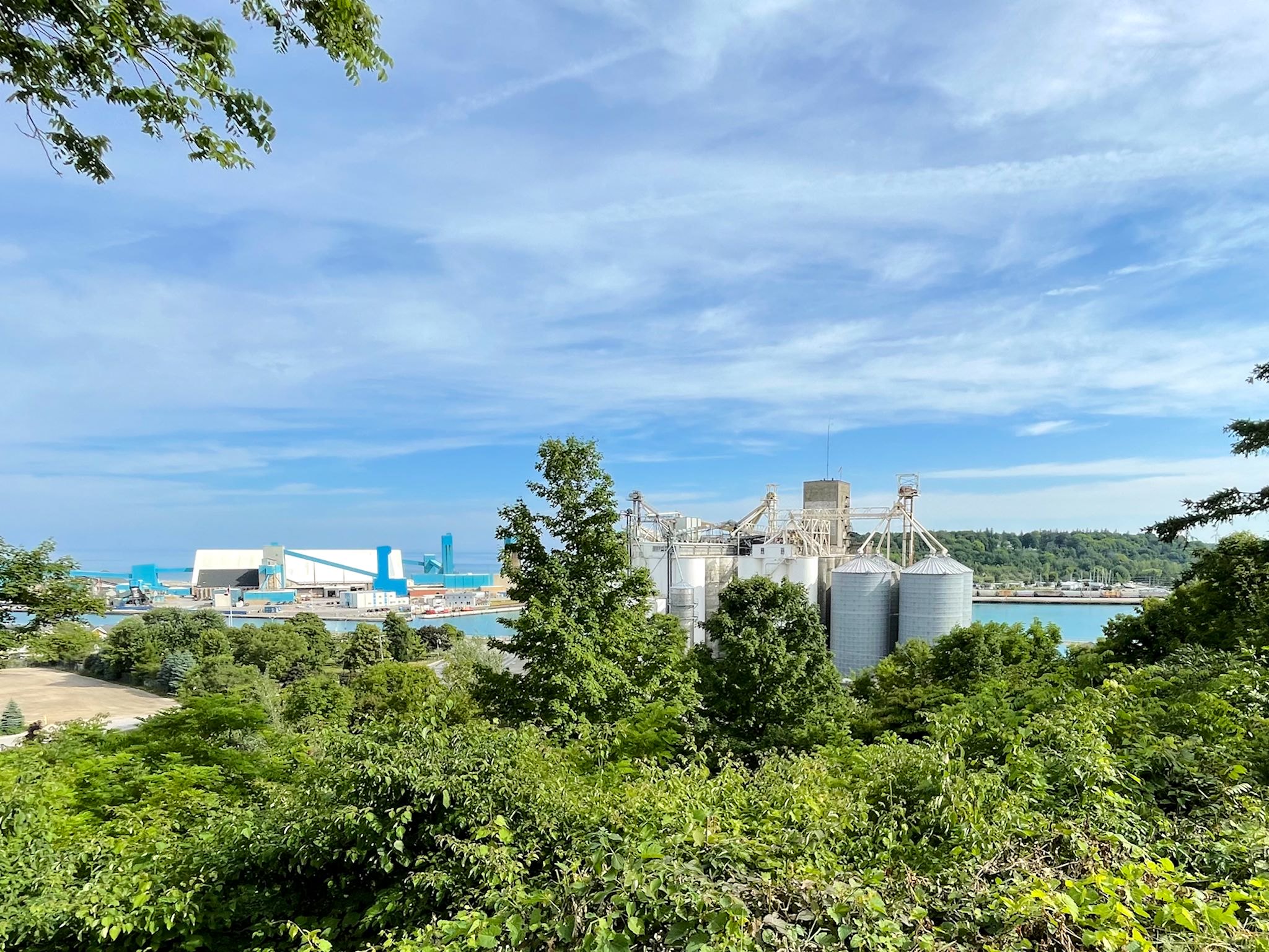
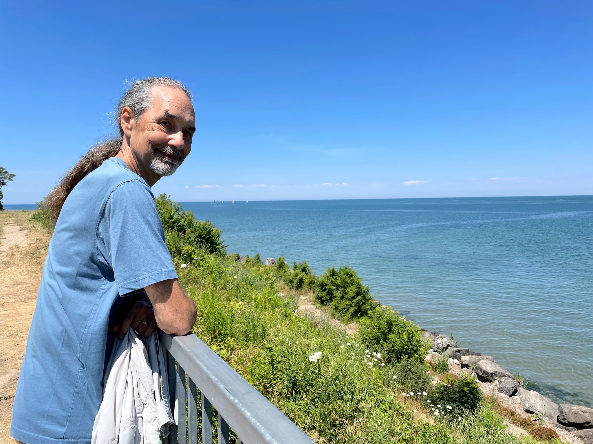
It took only 3 hours to drive from the shores of Lake Ontario west to Lake Huron. We checked out the town of Goderich, famous for grain shipping and salt mines. Much of this town is situated on a bluff above the lake. Several interconnected boardwalks, paths and hidden stairways up and down the bluff made for interesting walking with fine views of the lake, the beach, and the business end of the town – the grain elevators and salt mine. We found the Goderich Lighthouse, the first Canadian lighthouse on Lake Huron dating back to 1830’s. And we pretended to see the ‘thumb‘ of Michigan, which we knew to be directly across the lake.
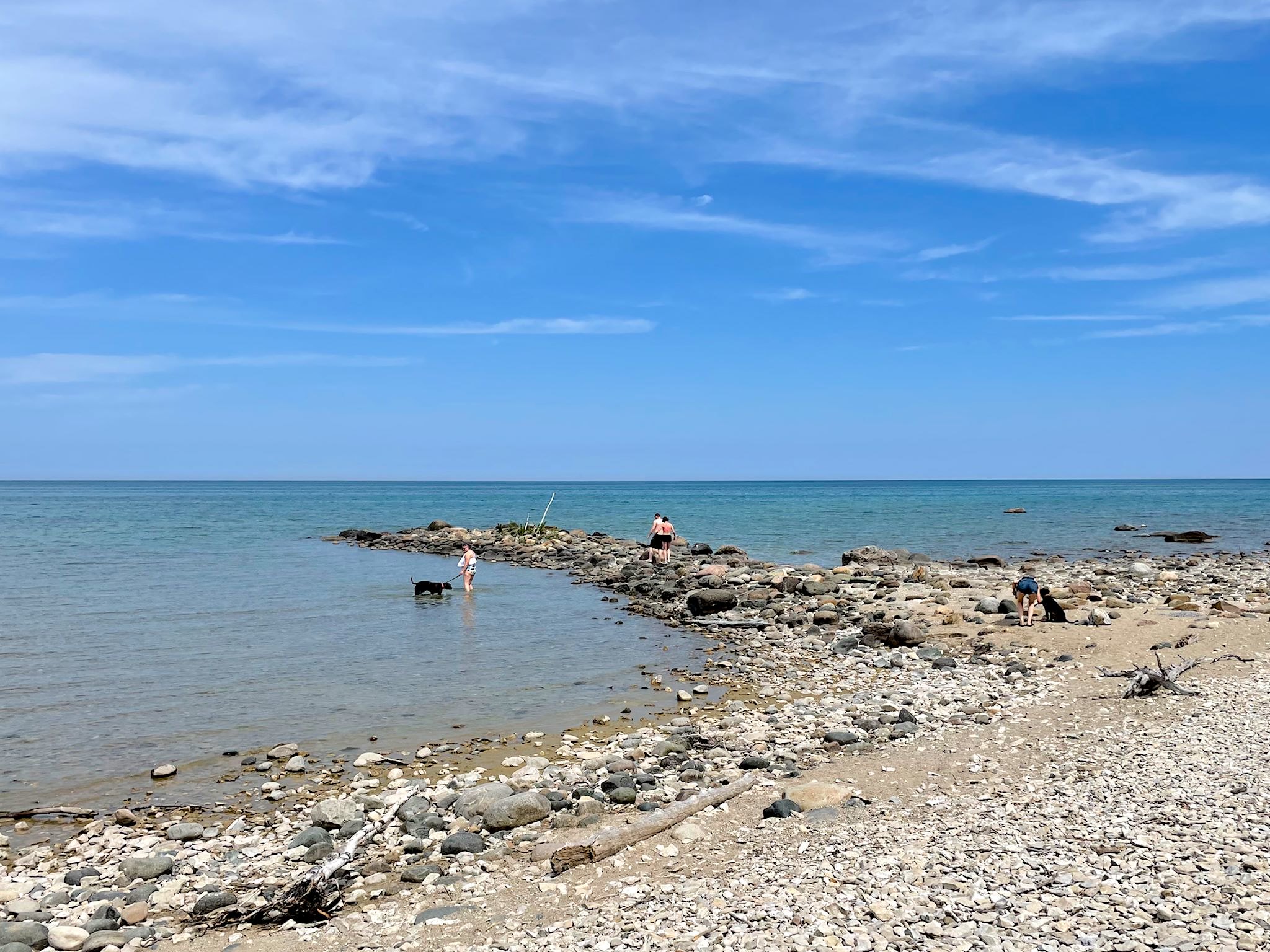
Our next stop was lunch at MacGregor Point Provincial Park, a long stretch of rocky beach further north along Lake Huron. We took in a bit of history on a hike on the Lake Ridge Trail there. Back in the day, when glaciers were carving out the Great Lakes, some glaciers receded early and dropped the millions of rocks they’d been carrying along their way south. Early inhabitants trying to farm the land, digging out rocks and moving them into rock walls in the customary way, found that they couldn’t reach the bottom of the rocks and farming was eventually abandoned. They turned the land into a provincial park instead, with hiking trails known as ‘boulder paths’ and nice views of rock walls!
For anyone who’s interested, more Niagara-on-the-Lake, Goderich, MacGregor Point pix…

_____
*(this might be a slight exaggeration)