
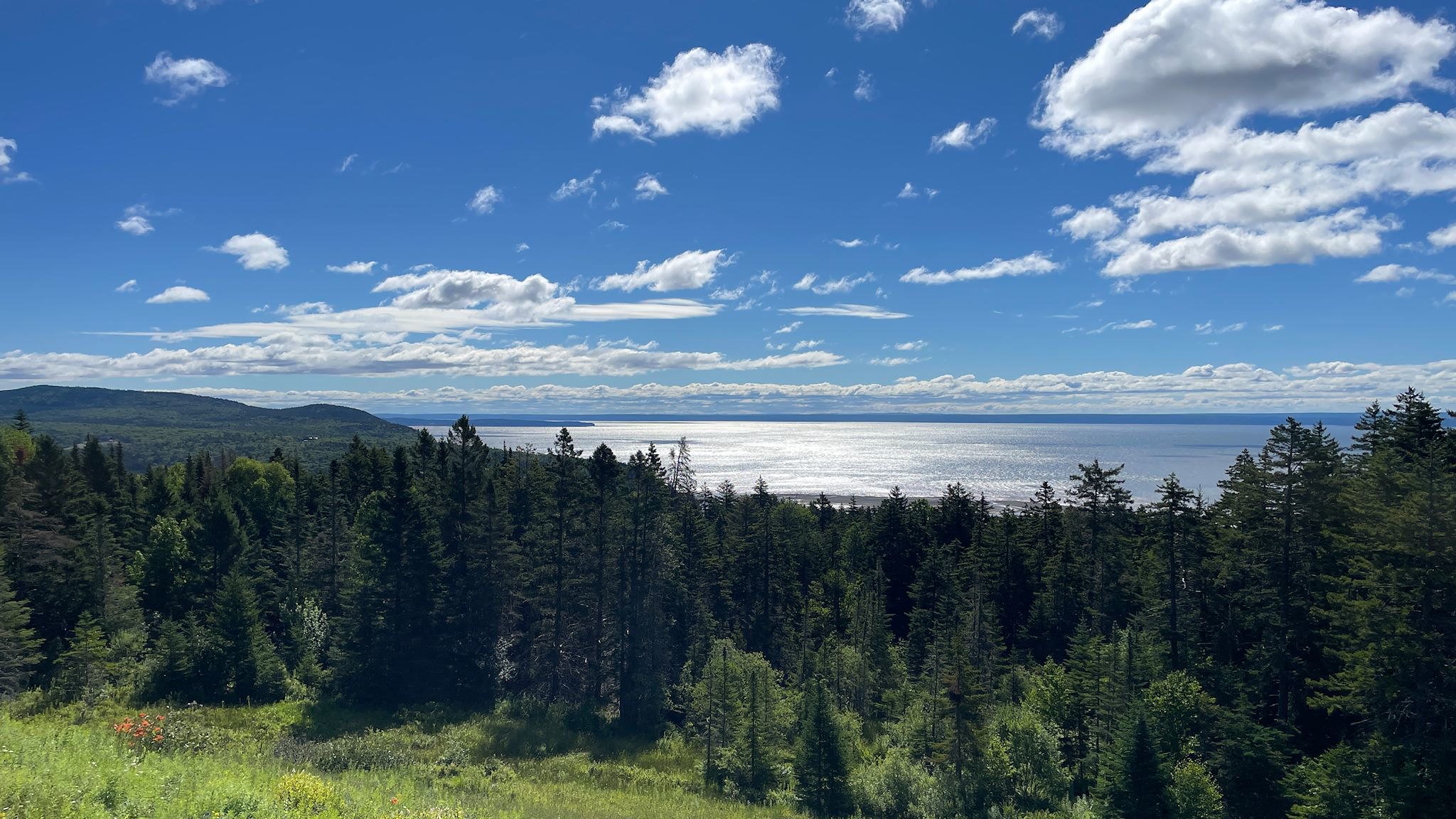
Established in 1948, Fundy National Park was New Brunswick’s first national park. Fundy is focused on protecting a sample of the Maritime Acadian Highlands region of Canada. It’s well known for its dramatic tides, rugged coastline, deep river valleys within the rolling highlands, being at the transition between the mostly deciduous Acadian forest and strictly coniferous boreal forest. Also, waterfalls. Lots of waterfalls.
People only started to settle the area now comprising the national park in the 1820’s, mostly because it was not a particularly inviting place to live. Growing food was tough with poor soil, short and cool summers, and long harsh winters. However, trees grew well in this environment so logging and lumbering became the predominant industries. The best easily accessible trees most sought for shipbuilding were soon depleted, pollution of the rivers contributed to a decline of fish that spawned there. Fewer wooden boats were being built, and as technology changed the boats used more steel and less wood, further reducing demand for lumber and causing the decline of logging and lumbering in the area in the 1920’s. Fundy National Park has made restoring the ecosystem after a century of damage from logging and dams a priority.
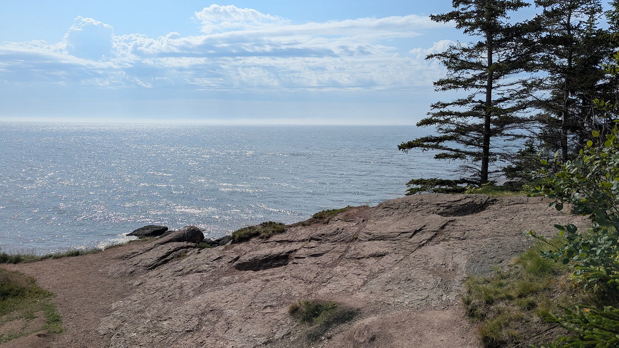
On this trip, Fundy National Park has been a highpoint so far – literally, figuratively and emotionally. The transition from sea to highlands is right in our faces – the cliffs along the bay rise from sea level to 60 M/200 feet, soaring to 400M/1,300 feet near Rossiter Hill on the Highlands Plateau. Canada does national parks well! They truly highlight the unique features of the regions they represent. Campgrounds are comfortable and meticulously clean. Hiking trails are planned and developed to allow access to the most representative parts of the park while managing crowds at the most popular sites to prevent damage to the delicate ecosystem. Interpretive signs provide information exactly when and where it’s needed, without feeling intrusive or overdone. Finally, taking the risk of jinxing the situation, I appear to have passed through a crossover point between lingering West Nile virus (bad, no treatment) to simply being completely deconditioned after a month of forced inactivity (not great either, yet we know how to fix that!) I’m not well yet and I may have a long way to go, however this feels like a big step in the right direction.
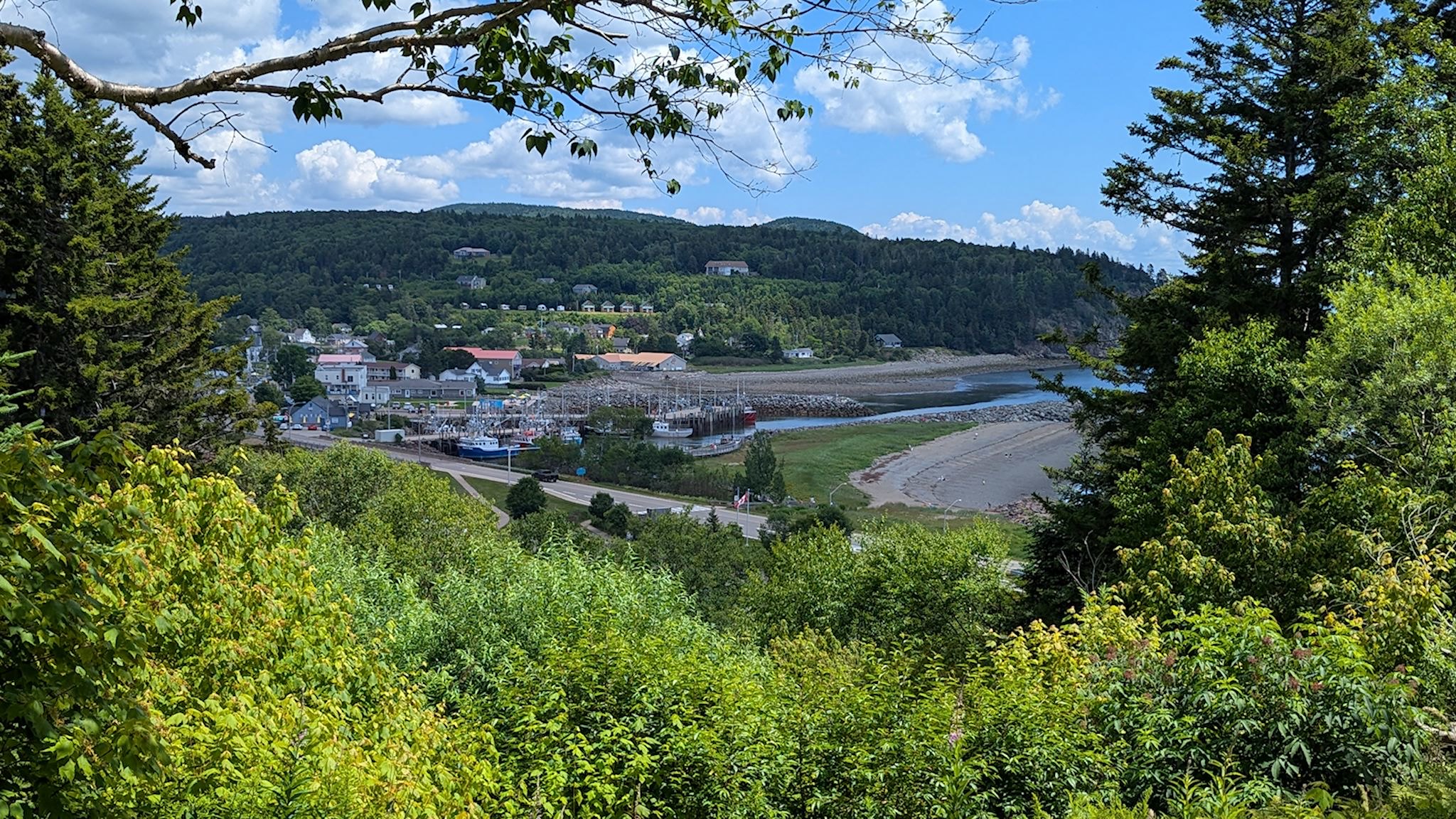
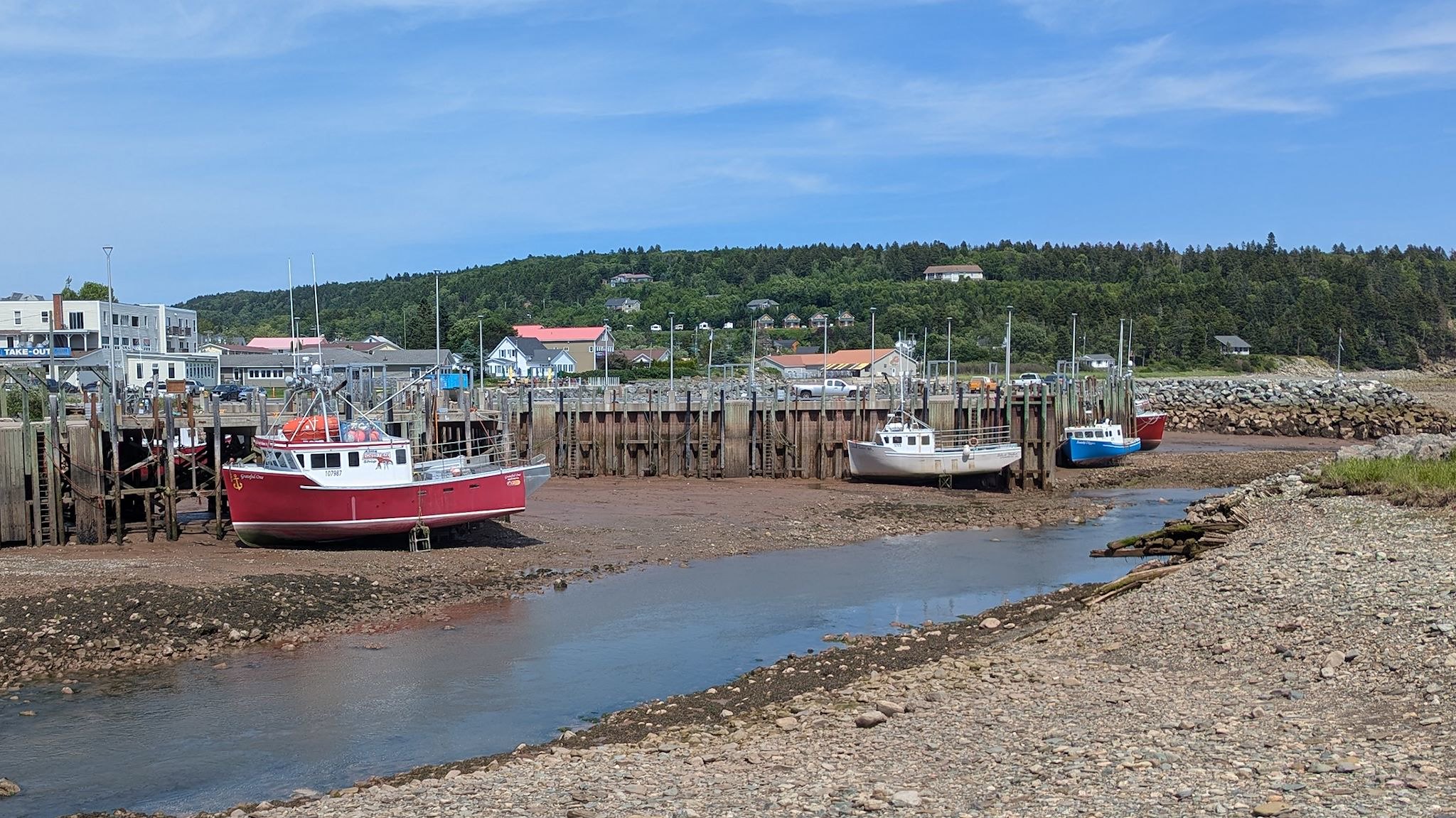
Alma, population <300, is the gateway community to Fundy NP. There was a hiking trail from our camp to downtown. We tested my tolerance level du jour with a walk into town – all down hill. It’s a cute town with plenty of tourist shops and restaurants. It’s also a fishing town with an interesting twist. Fishing boats sit in the mud on the ocean floor at low tide. There’s a point in the cycle where they can float enough to leave the dock, and they need to return no later than that same point on a falling tide, or they wait in the bay 6 hours for the next cycle. Precision fishing! In anticipation of the all-uphill climb back to camp, we stopped in at the ice cream shop at the edge of town to prepare. YUM!
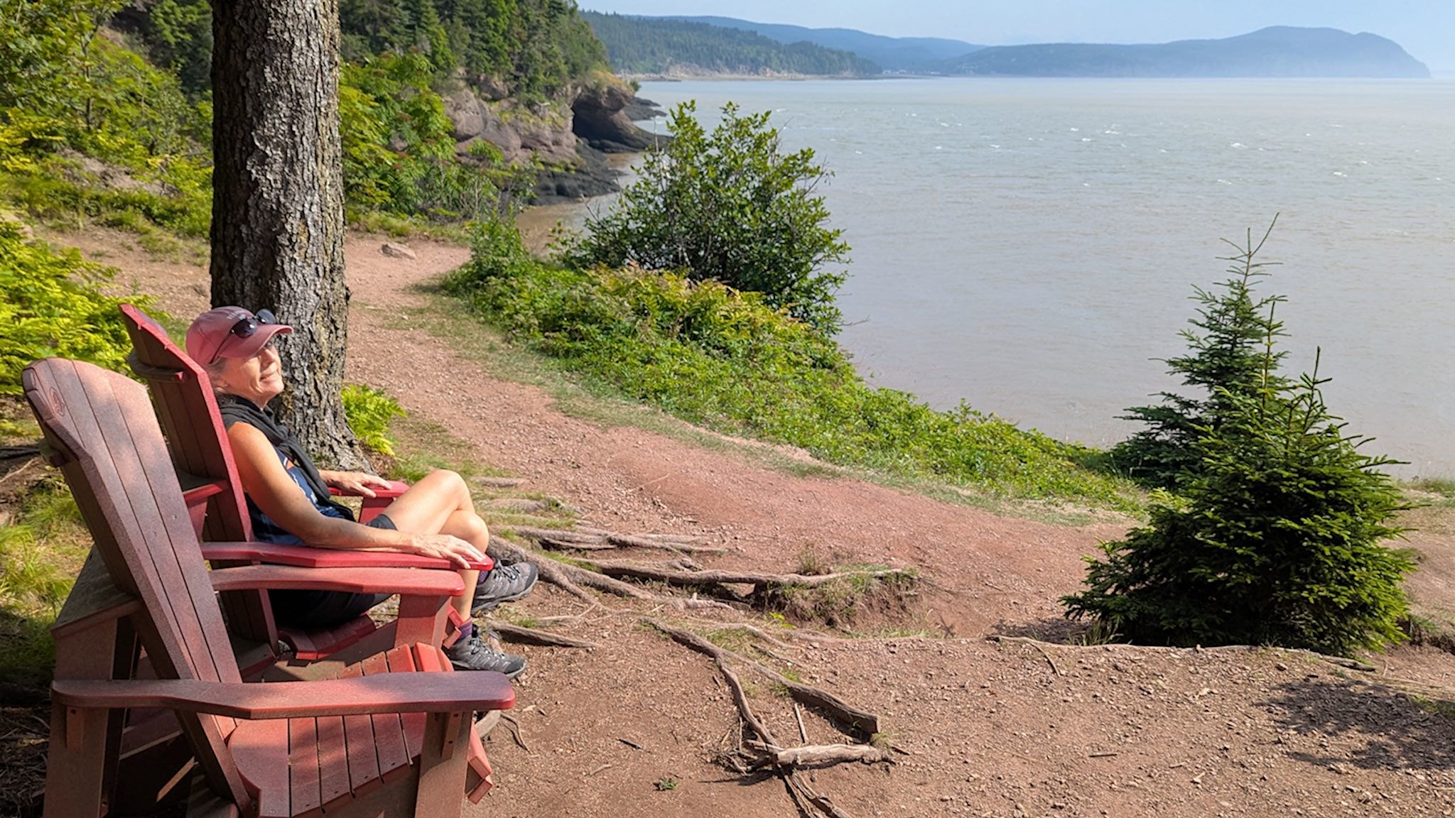
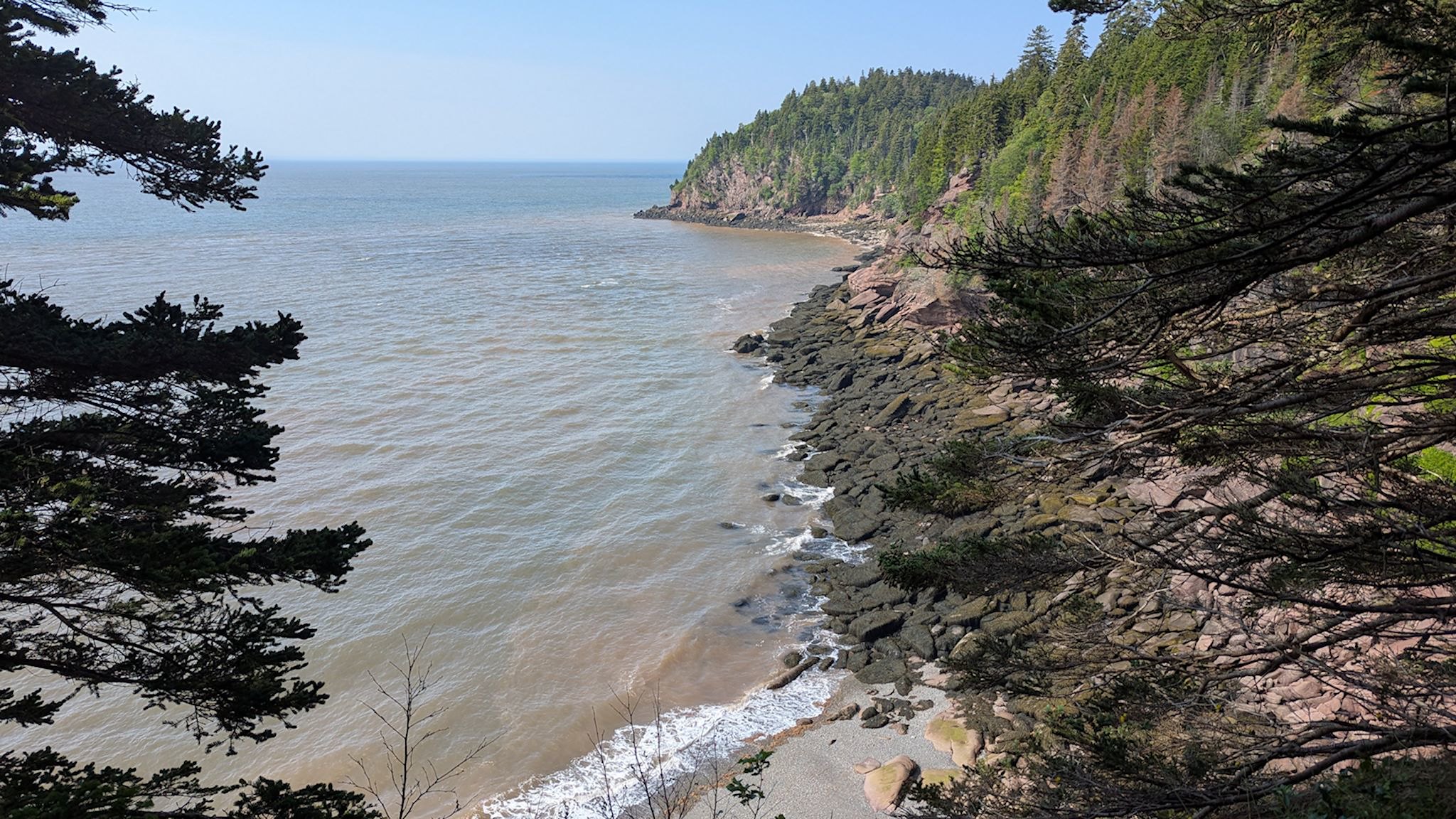
As we prioritized our hiking while in Fundy taking into account my limited stamina, we thought we should select a relatively short hike along the cliffs with views of the bay. Matthews Head, at an estimated 1.5 hours, was our pick and would serve as this week’s endurance test. The hike started off downhill toward the cliffs and quickly opened up to a 180-degree view of the bay from – Matthews Head. The return was a rolling walk along the cliffs with view points the entire way. As we expected, the last 1 km/0.6 mi was all uphill. For some reason, we started to converse in French at the start of the hike. We continued as francophones the whole time, stopping periodically to look up words to continue the conversation, occasionally giggling at particularly interesting and/or convoluted expressions. This was Doug’s favorite Fundy hike.
The verdict back at camp was encouraging. Instead of rolling up into a fetal position thinking I’m-so-sore-and-tired-that-I-think-I-might-die-sorry-Doug-I-don’t-think-I-can-make-dinner (and remember, I’m an eternal optimist), I took a nap and woke feeling like wow-I’m sore-and-it-must-be-because-I’ve-been-unable-to-move-for-a-month-and-must-be-totally-deconditioned-and-need-to-get-back-in-shape. I did some laundry before dinner. Progress!!!!!
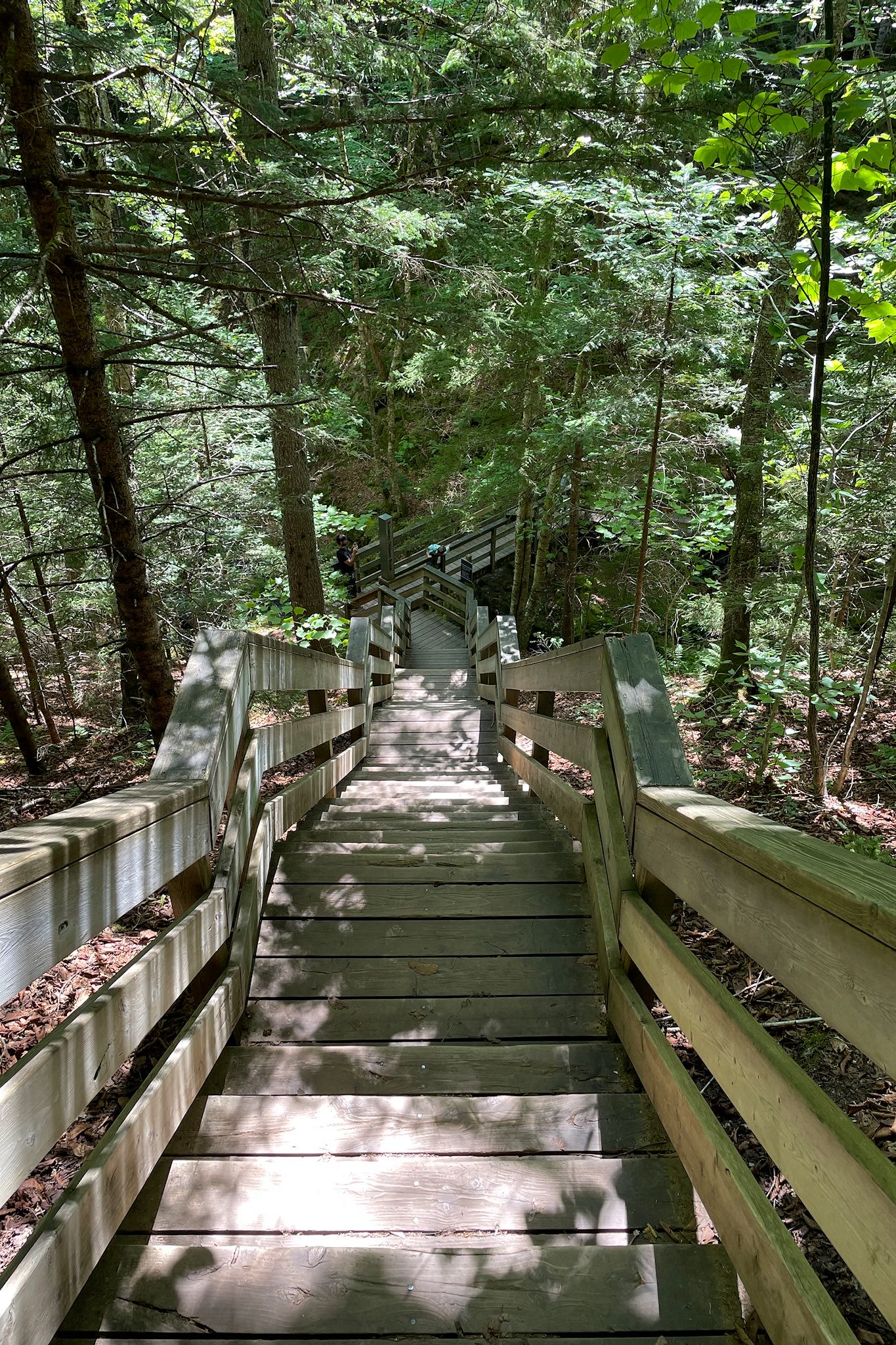
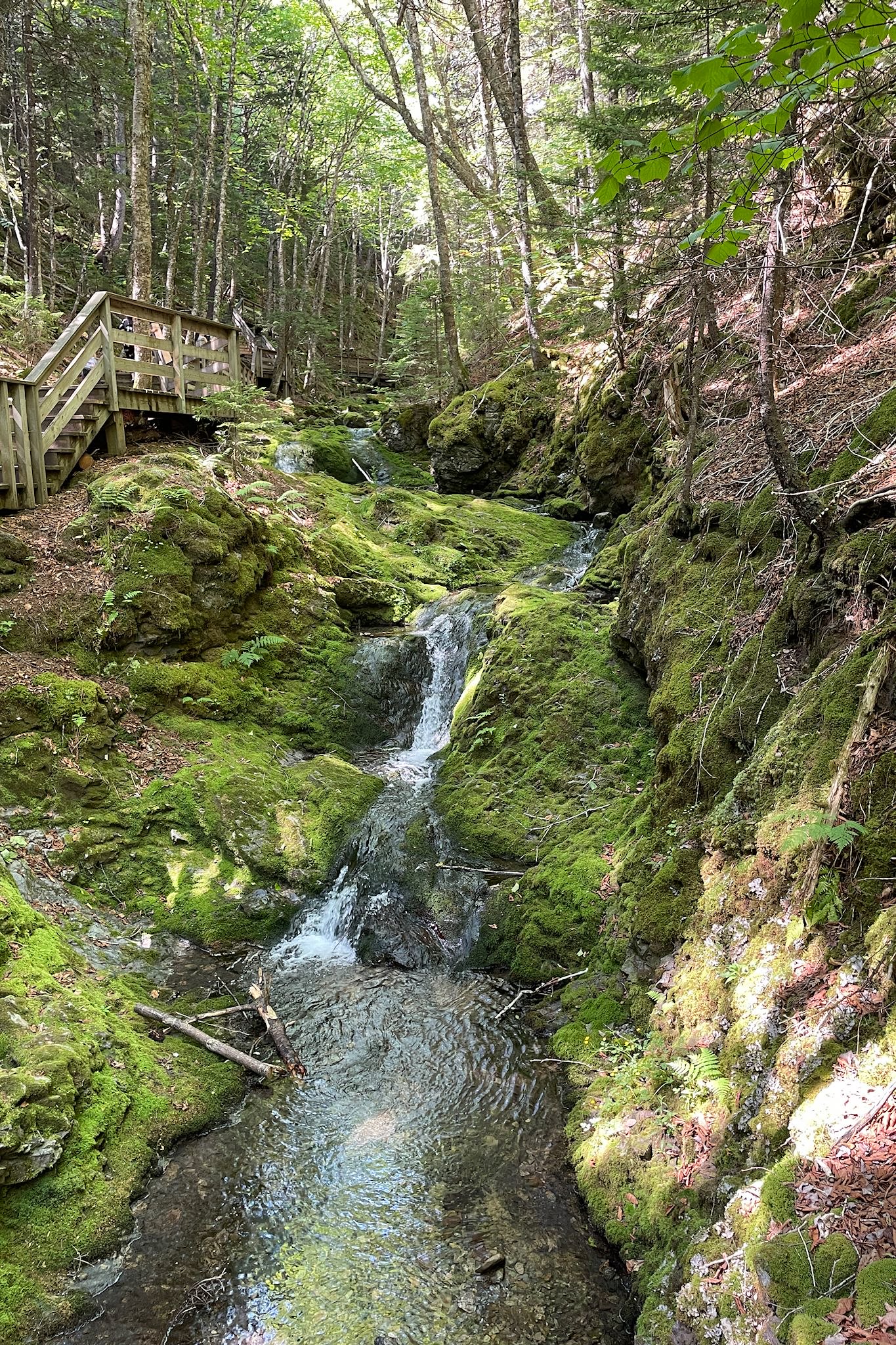
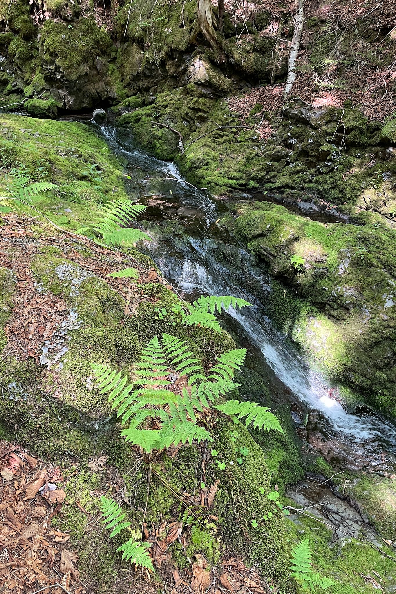
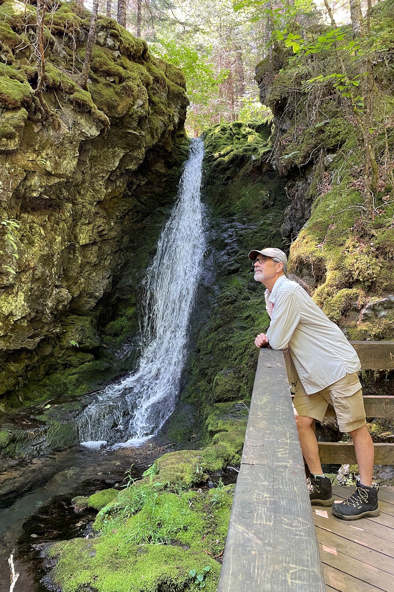
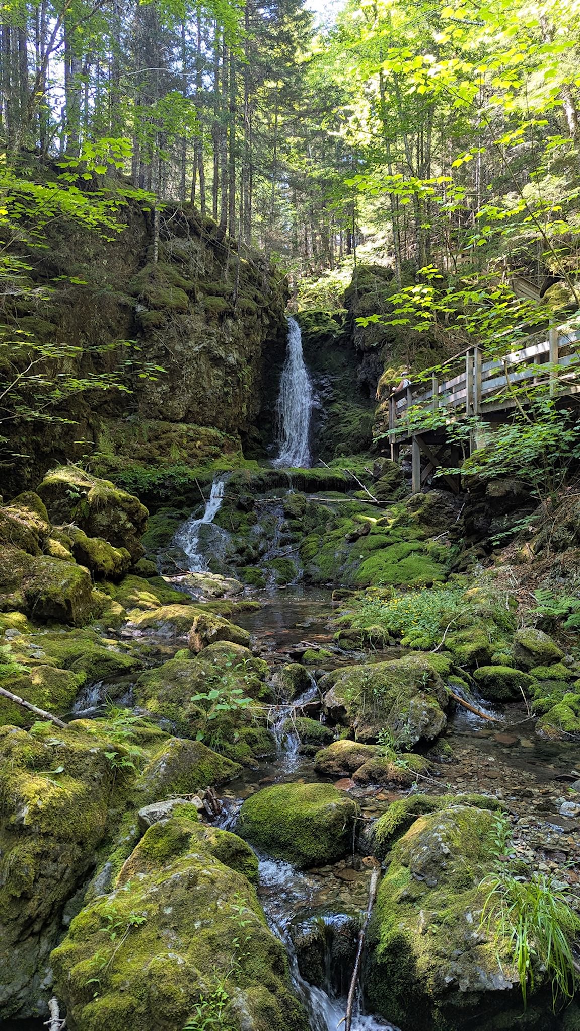
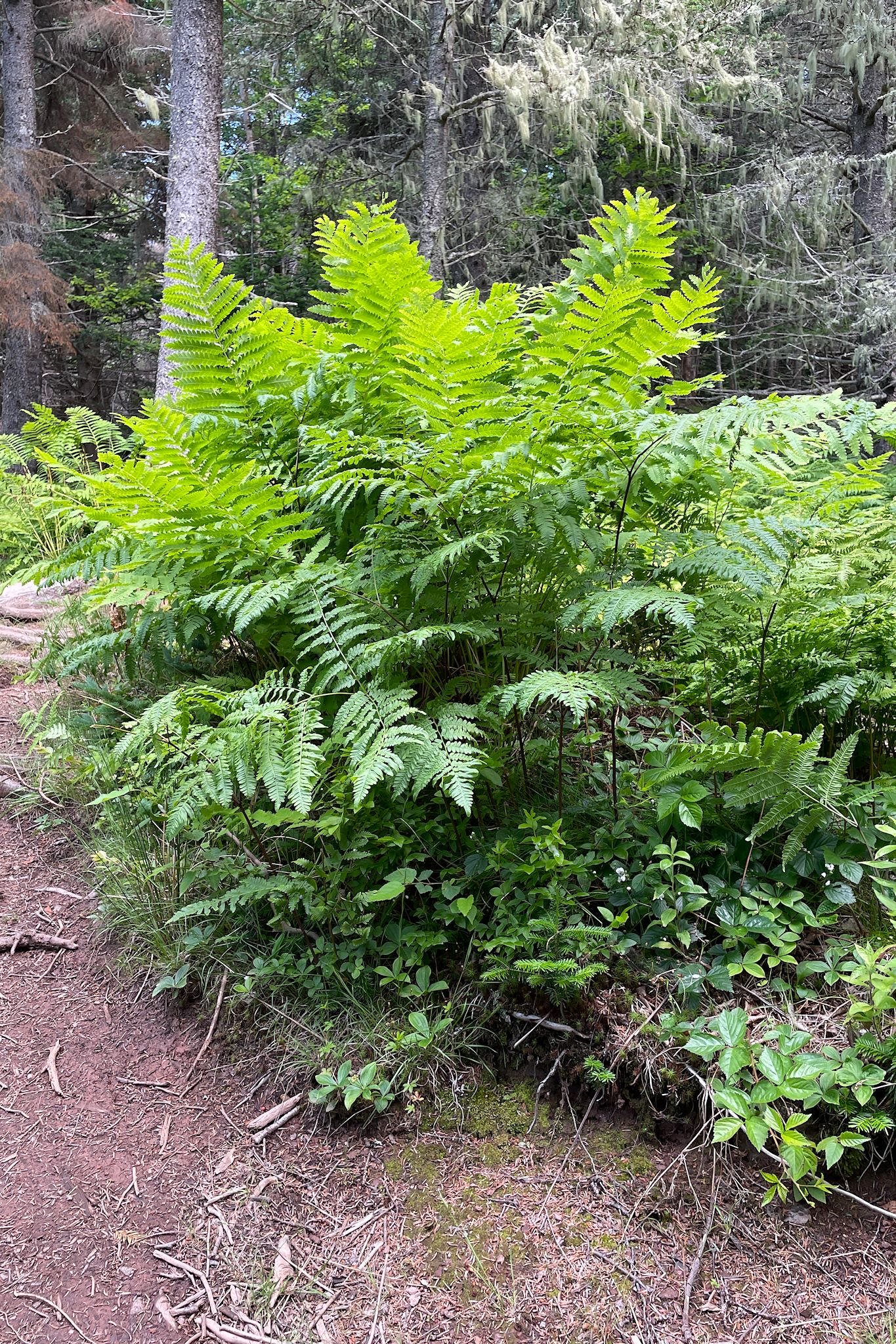
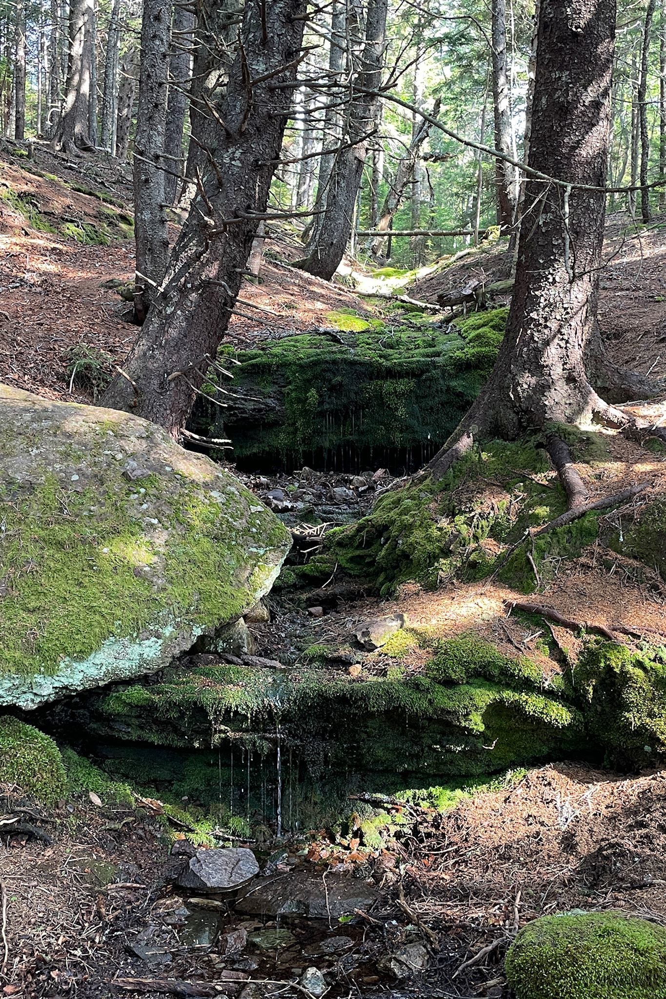
So now, your little old aunt and uncle decided to be adventurous. They found the shortest hikes in the park and decided to try one. The next day, we chose a hike to Dickson Falls, estimated at a half hour using wooden stairways and boardwalks. Well, it took us an hour – had to stop too many times to take photos!!!! This was my favorite hike, poking around the Dickson Brook where mosses and ferns created natures finest garden, en route to the beautiful falls.
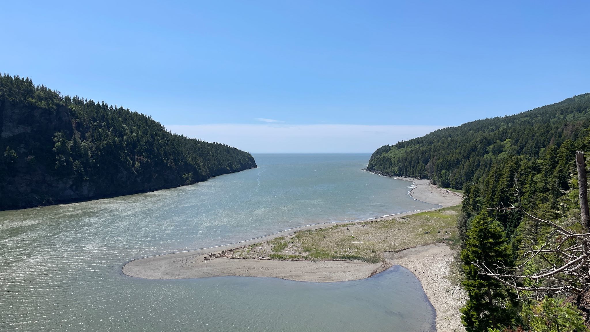
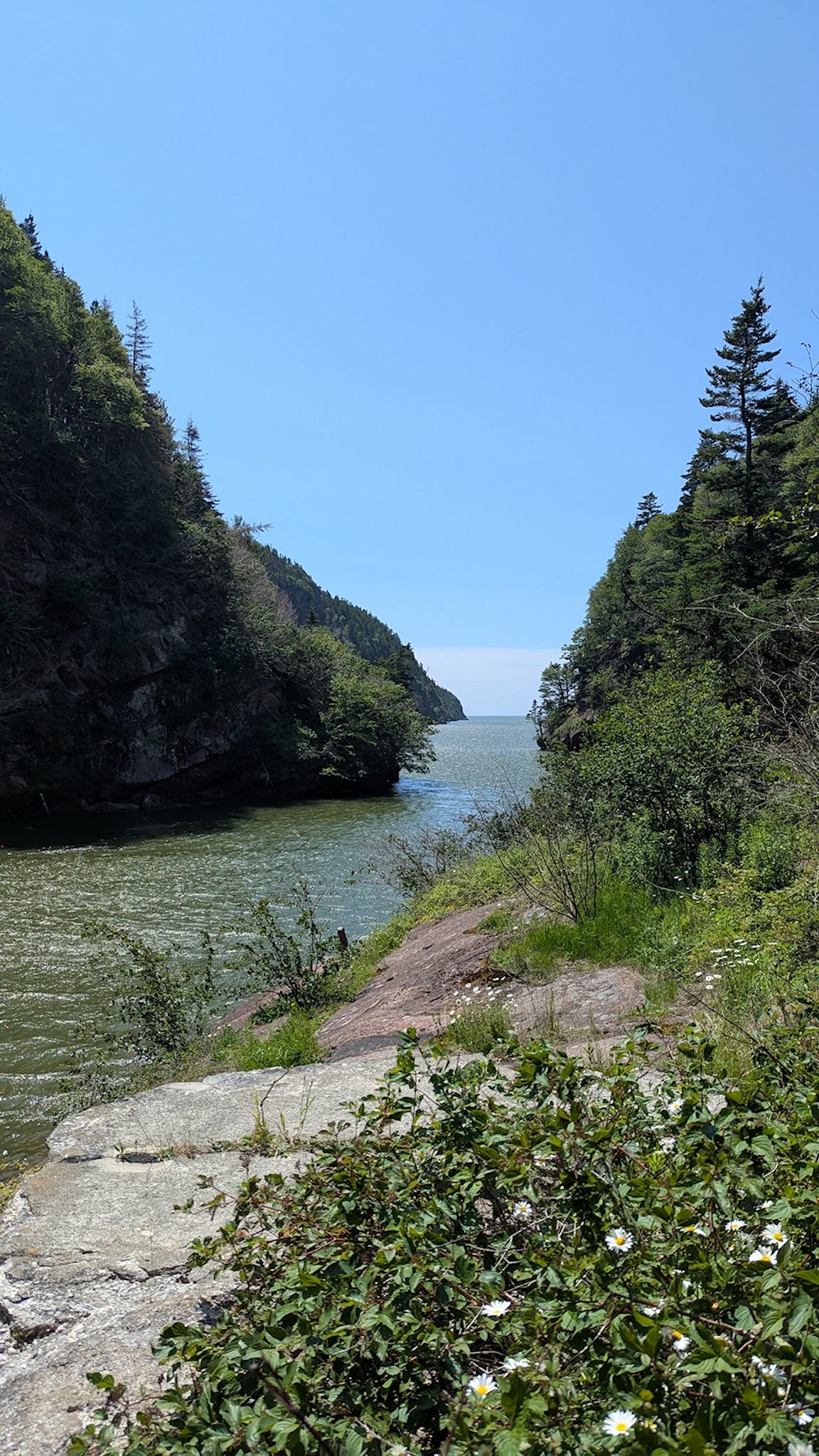
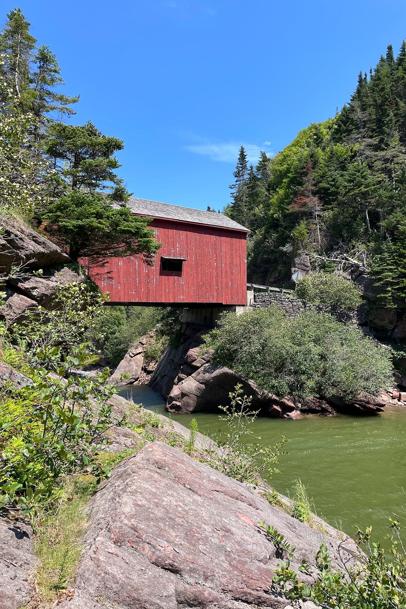
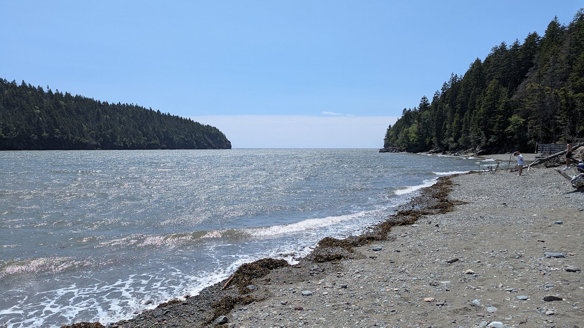
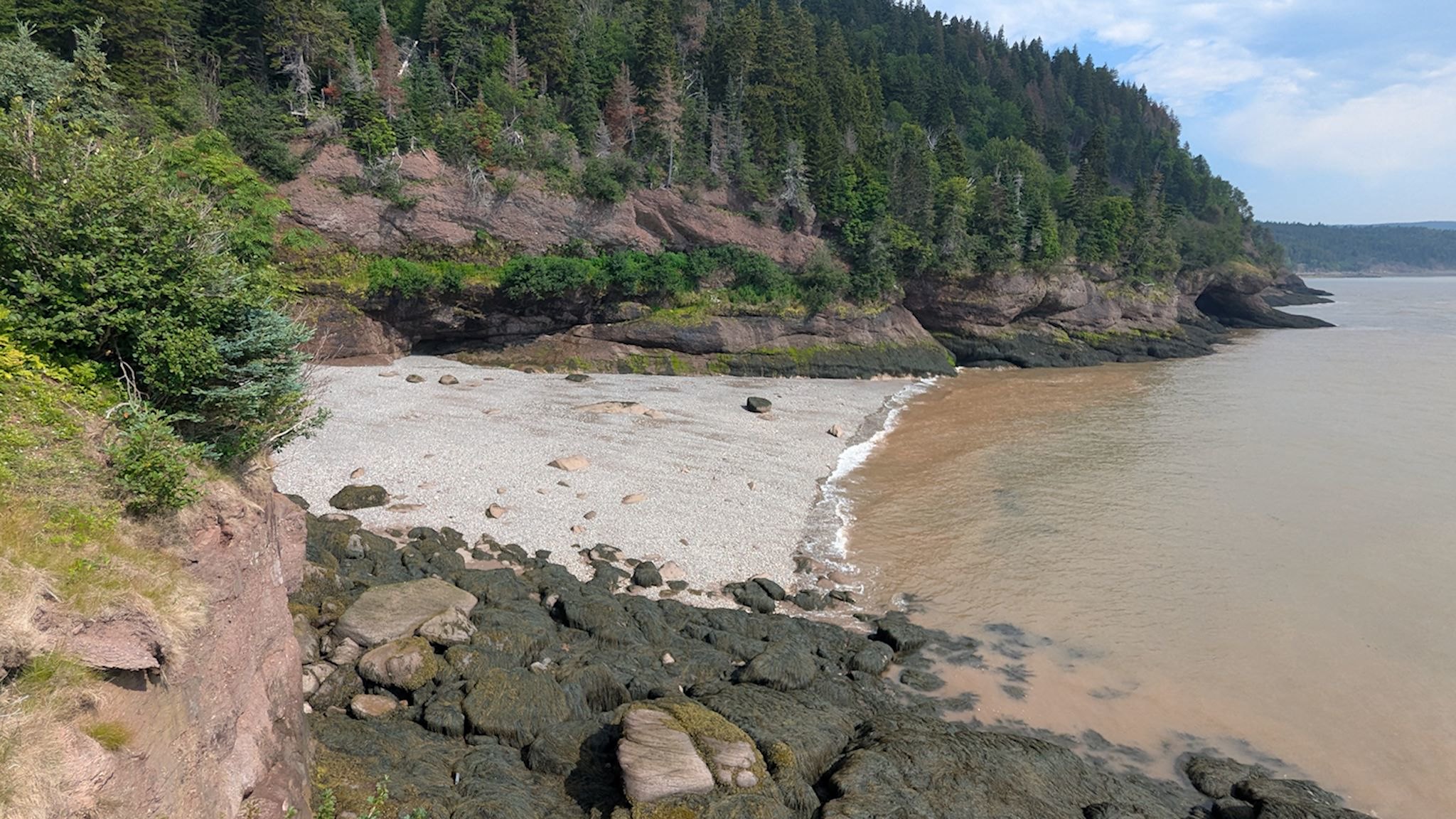
We stopped to eat our lunch at Wolfe Point, if only because that would complete our tour of the park highlights along the bay and cliffs. Over fabulous nut butter sandwiches, we took another look at the park map. Hmmm, from our location, there was another half-hour hike across some cliffs to an old lumber mill site. It’s our last full day in the park – let’s do it! The Shiphaven hike was another delight. The cliffs provided us with open views of Wolfe Point Beach at mid-tide. Photos of the old lumber mill illustrated where it operated between the cliffs at the mouth of the Wolfe Point River. We also got to see the covered wooden bridge built in 1992.
The return hike enticed us to also take a short detour down to the Wolfe Point Beach, a crescent-shaped beach contained by cliffs on both sides. Approaching high tide, we had a space of about .05 M/2 feet to walk along the shore. We later saw photos of the area at low tide, with beachcombers walking to the edges of the cliffs.
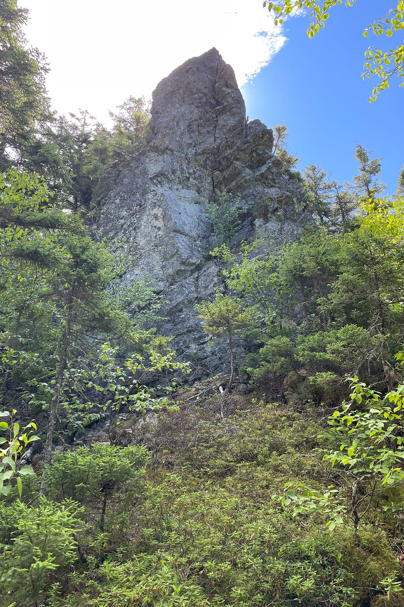
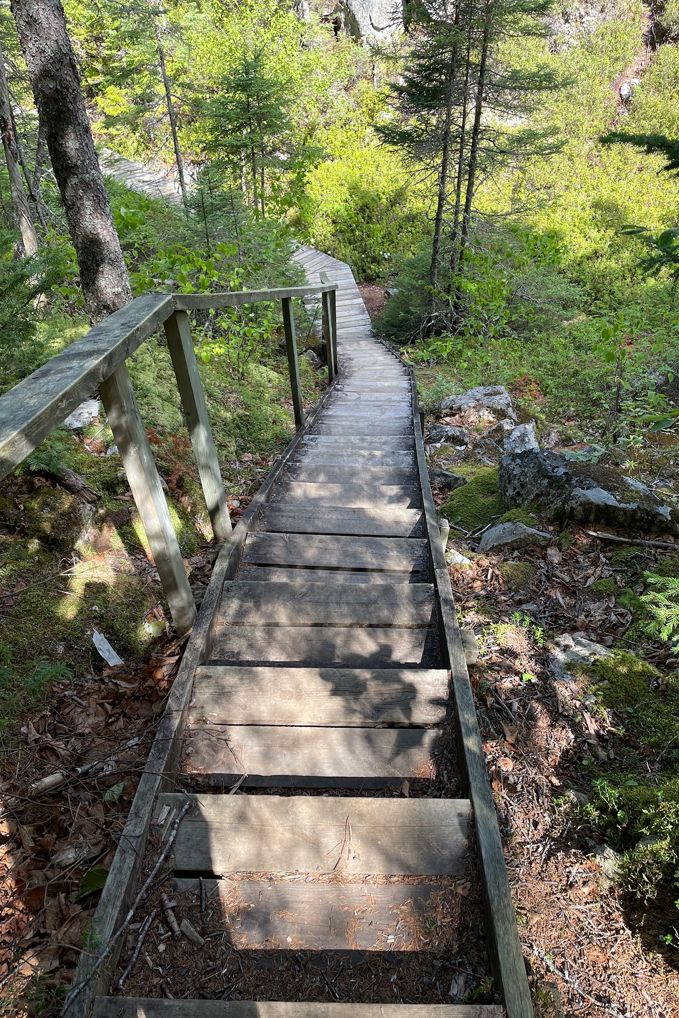
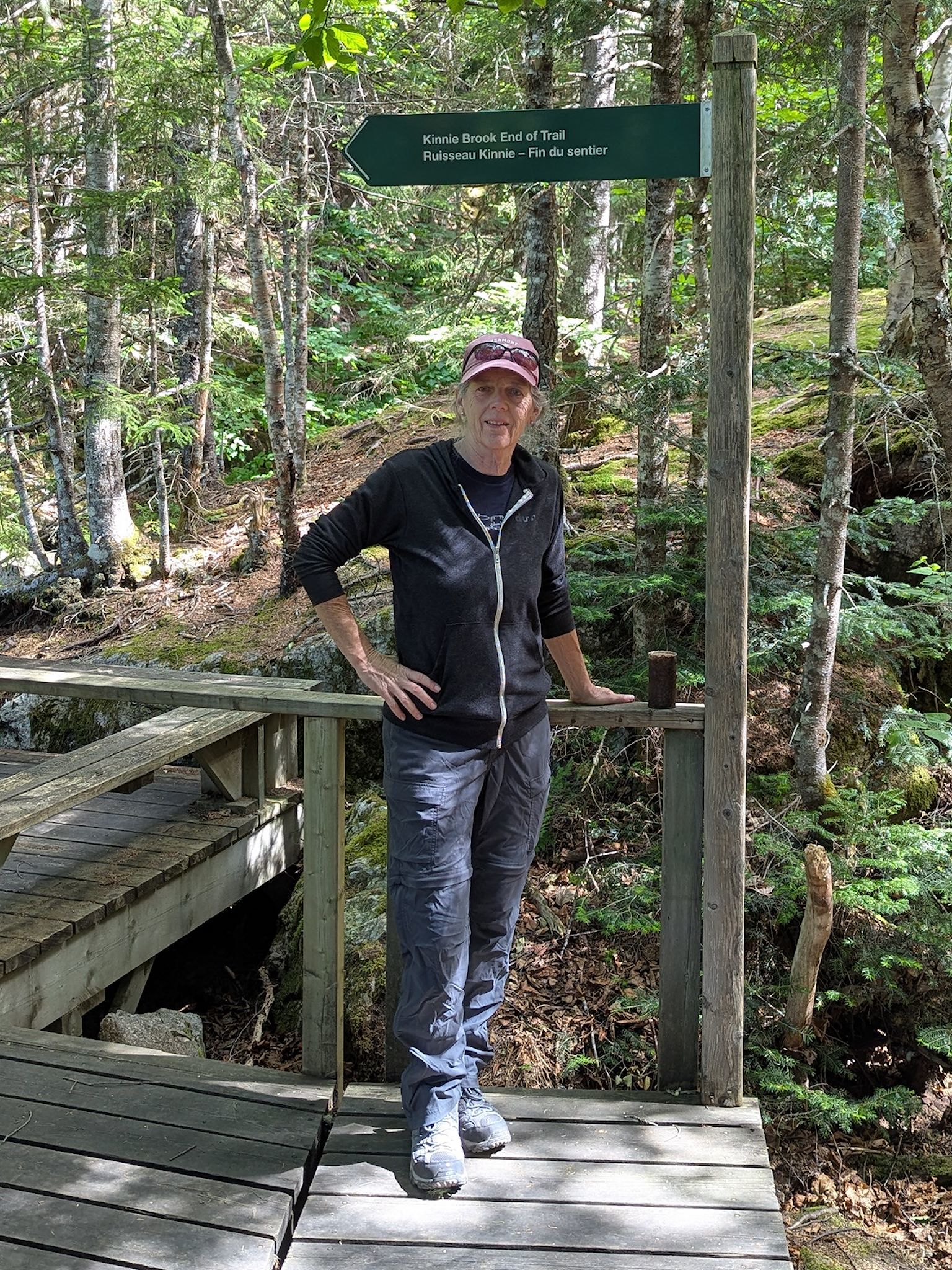
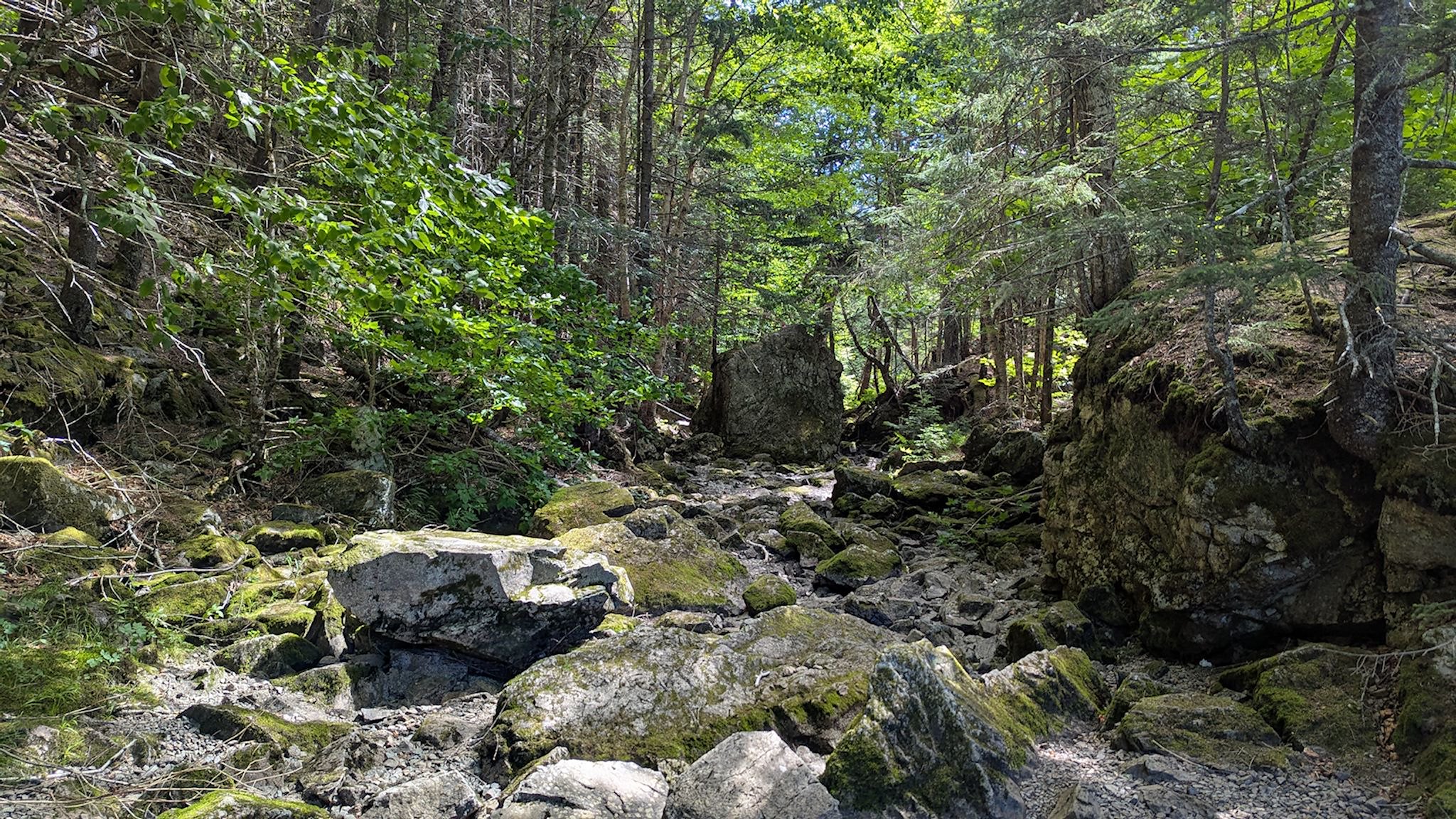
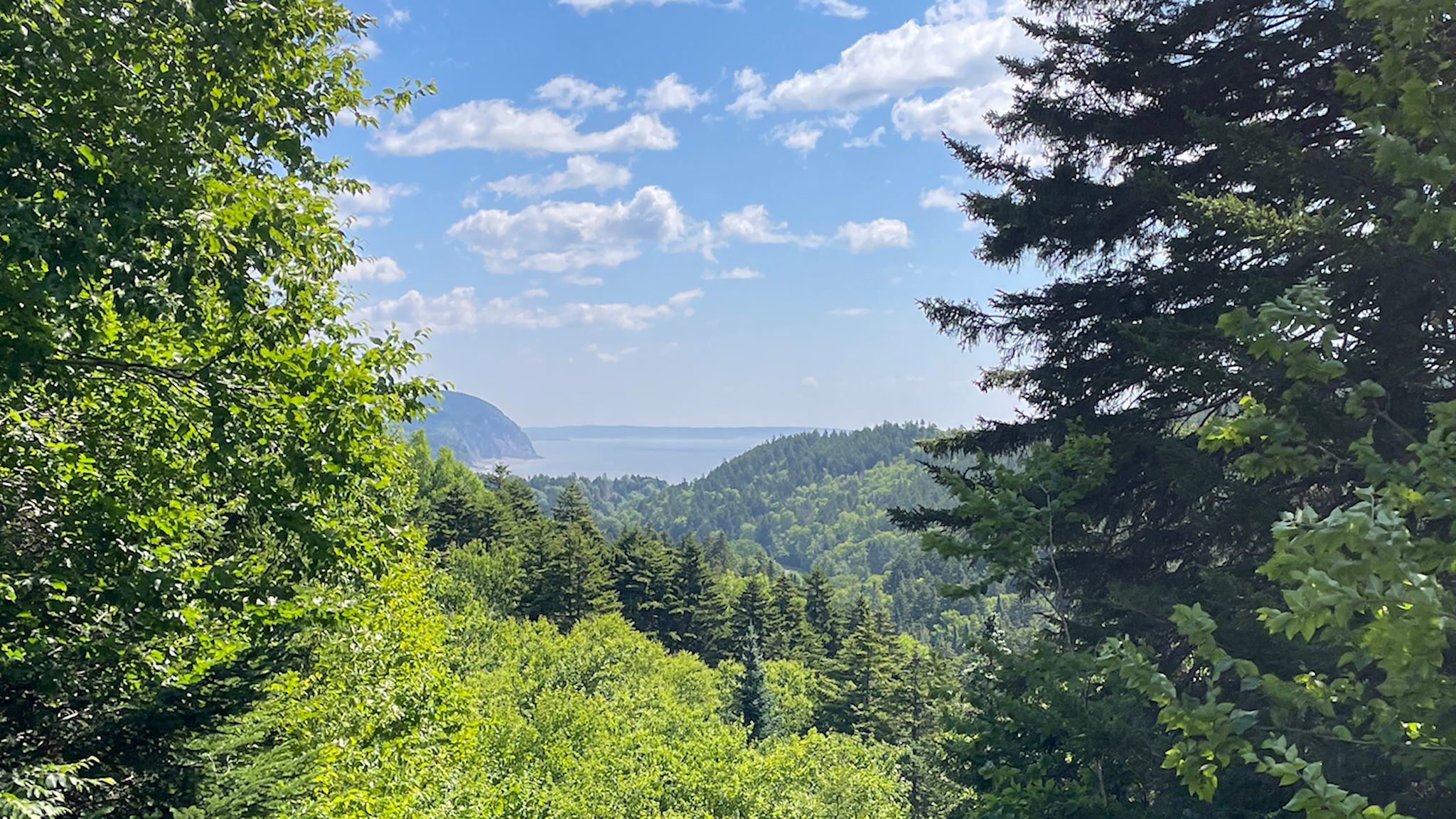
Knowing the next few days would be planned rest days, we took one more short hike on our way out of the park. The Kinnie Brook trailhead was near the top of the pass and Rossiter Hill. This trail featured a stairway down to the Kinnie Brook in a secret valley surrounded by tall cliffs and spires. The valley is so deep that there are pockets of ice that never melt (we saw one!). The Kinnie Brook roars with the spring runoff and goes underground the rest of the year. Typical of Fundy vegetation, the dry streambed was filled with cool rocks, mosses and ferns!
And with that, we said goodbye to Fundy National Park and the Bay of Fundy.
For anyone interested, more Alma, Matthews Head hike, Dickson Falls hike, Wolfe Point hike and Kinnie Brook hike pix…
Wow Sue and Doug!
Interesting travels so far! So sorry about West Nile Virus but so glad you are finally on the mend with energy and conditioning coming back more each day! I will mention your travels in French group demain!
Hi Jeannie! Thanks for stopping by! We’ve switched the balance of hiking/biking vs historical visits a bit, so yes, still interesting. As you know from your travels, there are times when you gotta go with the flow… We miss everyone! Thanks for passing along our hello’s. À bientôt !