After landing in Sydney, NS from Newfoundland in 2023, we visited the northwestern section of Cape Breton that features Cape Breton National Park and the Cabot trail. While there, we visited most of the attractions and hike just about every trail. That’s only about half of Cape Breton. Here’s the other half…
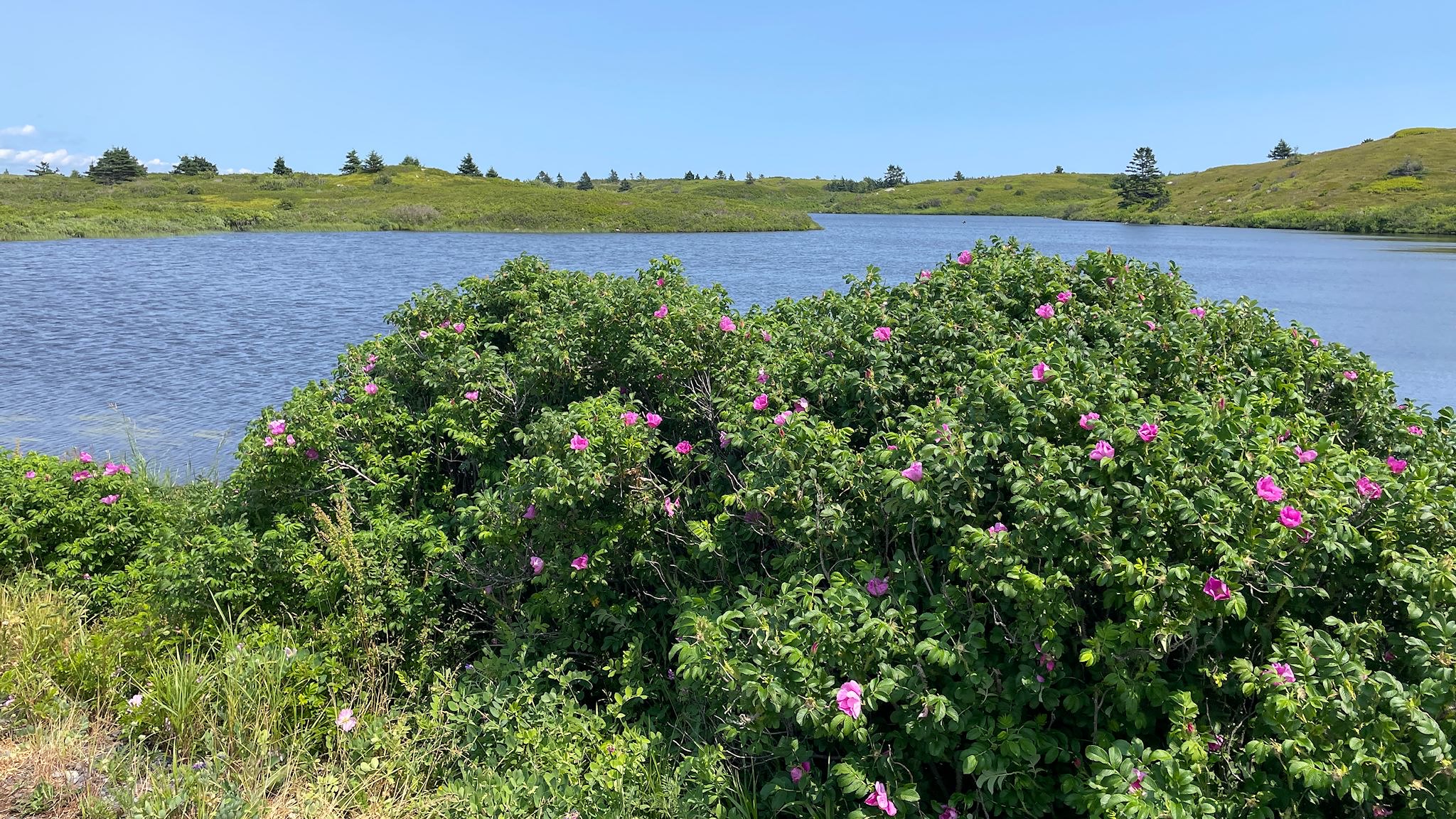
Friends Ann-Marie and Craig suggested that while we were in Nova Scotia we should visit Isle Madam, which is in the extreme southeast corner of Cape Breton – ‘It’s a beautiful, quiet island with great biking roads and no tourists,’ they said. That was enough to make the list. I checked it out and learned that at roughly the time we could be there, they were having their annual local music festival. Pick a day, set a course!
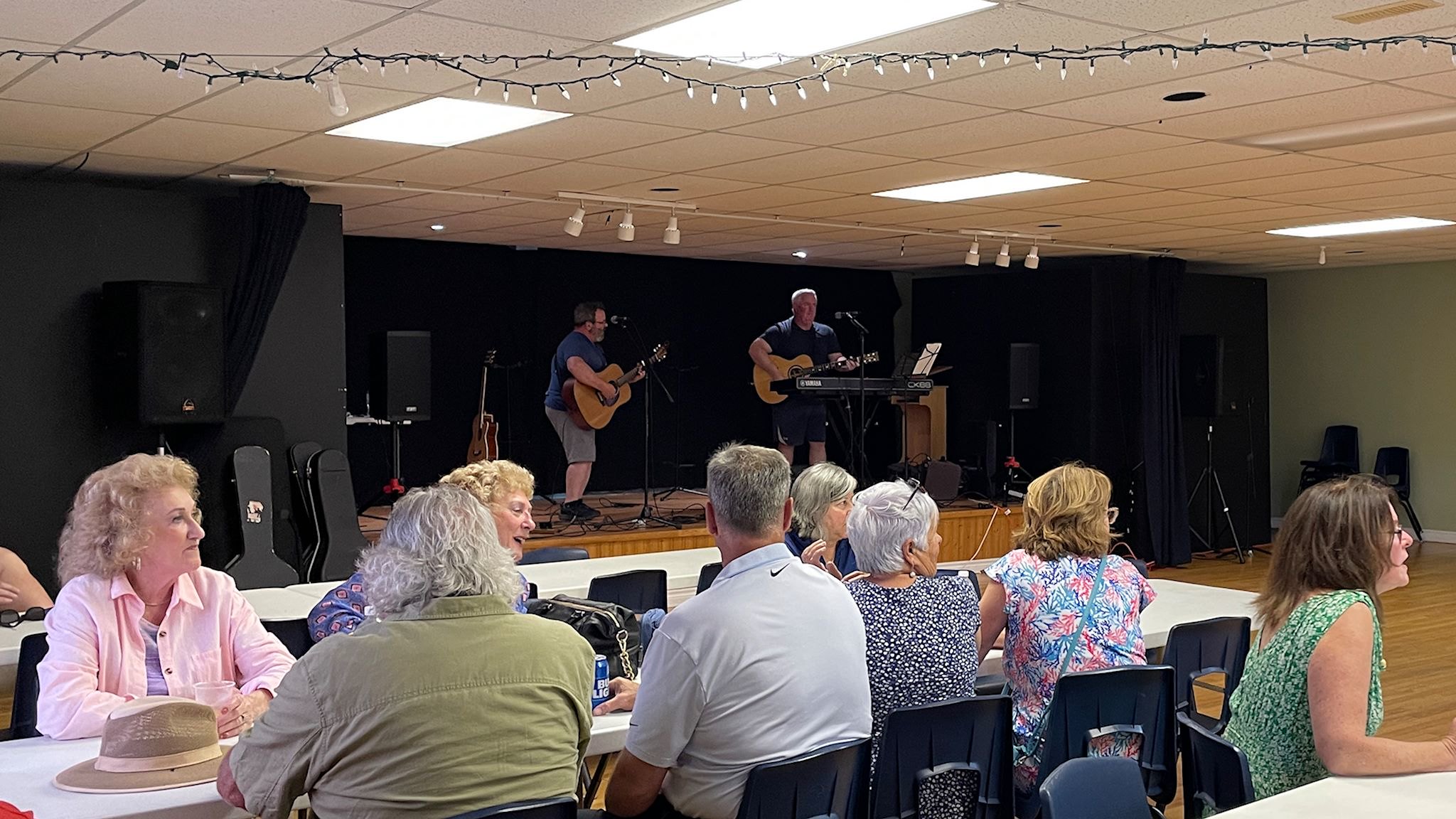
We arrived just in time to catch Jug in Hand, a high-energy traditional maritime folk music band, playing at the Rocky Bay Irish Club. Lewis and Brian entertained the mostly local audience (we were the only one to raise our hands when they asked if there were any visitors…) with their guitars and a bit of piano mixed in with absolutely delightful harmonies. Thanks to our earlier Atlantic Canada concert and festival experiences (in this post, this one, also here, here, and here), quite a few of their tunes were familiar to us.
Having driven to the Irish Club, we regrettably had to cross biking off the list – Isle Madame is hilly! My heart said let’s go biking! My head said not gonna happen. As if to reinforce that decision, the first 2 days on the island were pouring rain. Rest days were exactly what we needed after Fundy National Park.
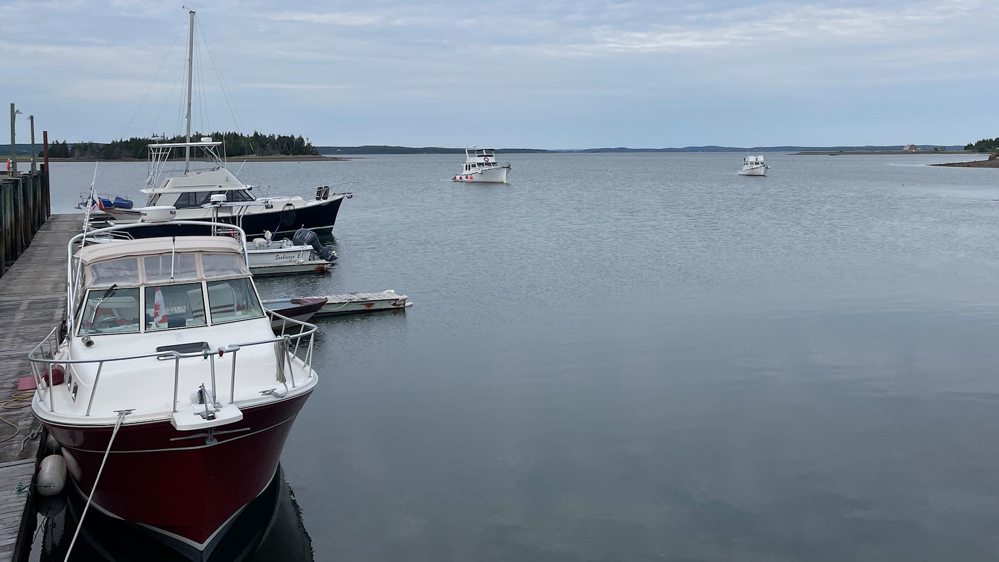
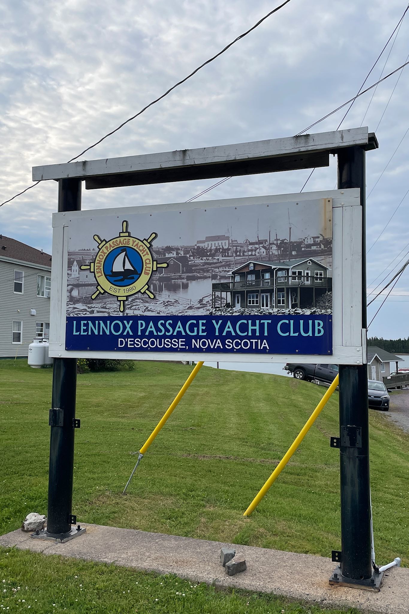
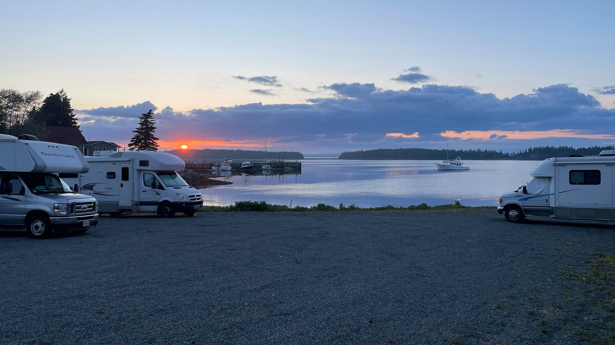
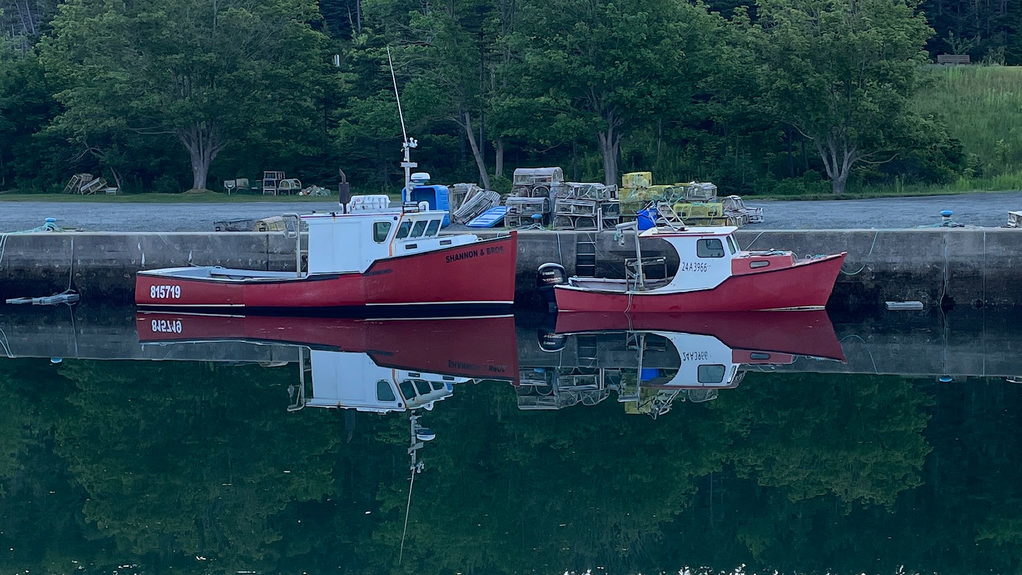
After hearing we were ‘from away,’ several local folks approached us – friendly, welcoming, and curious – also filled with suggestions for our visit to their hometown. Happily, when people heard about our RV, they suggested we could camp at the Lennox Passage Yacht Club – a totally low key yet serious, community run, full service marina – offering overnight RV parking in exchange for a donation. That sounded pretty good, although that understated what we found. It was great! We got to park next to a quiet rocky beach, just feet from the edge of the strait at high tide, watching boats come in and out.
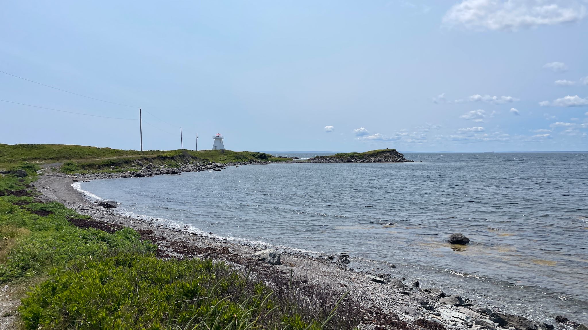
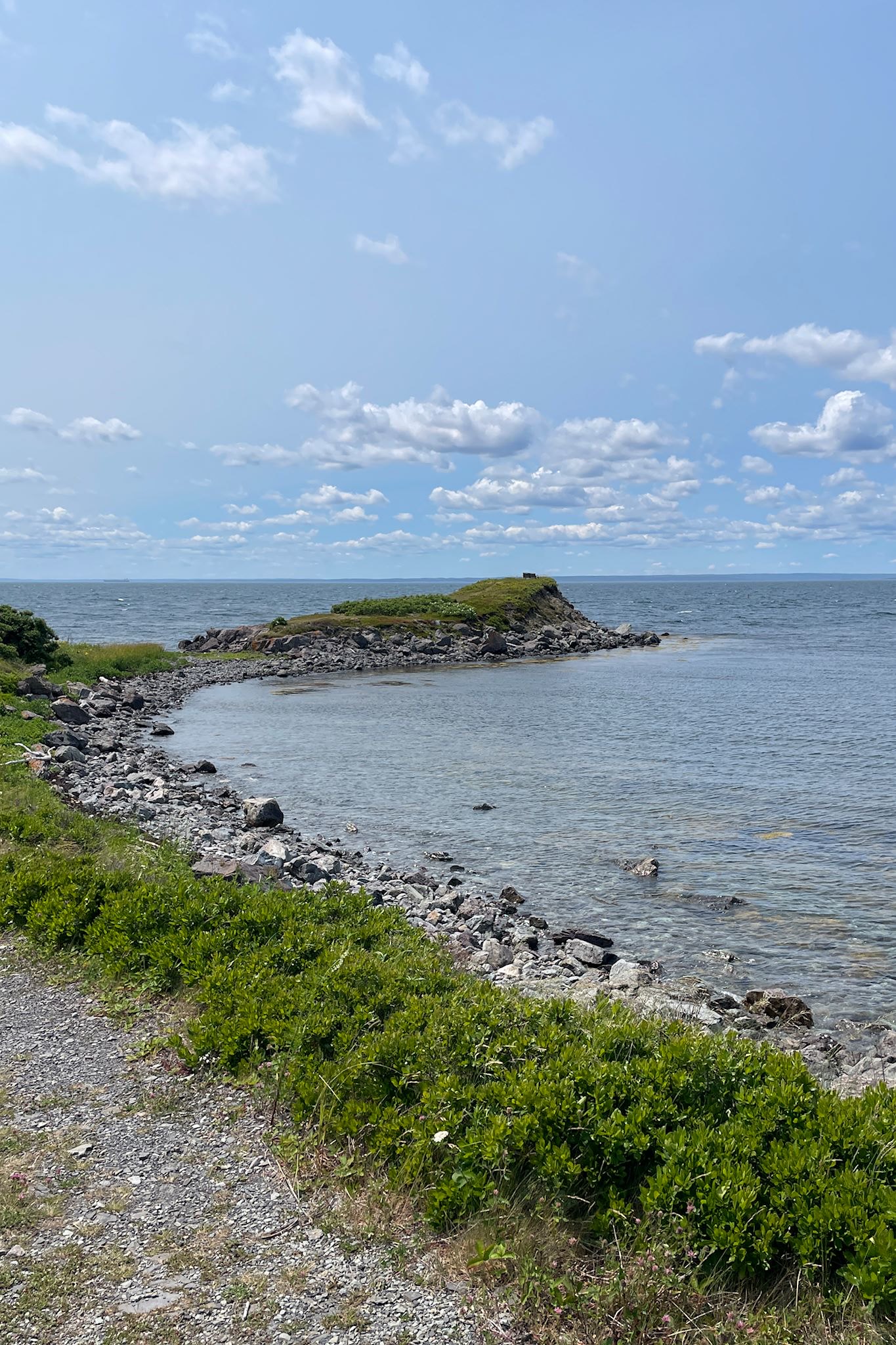
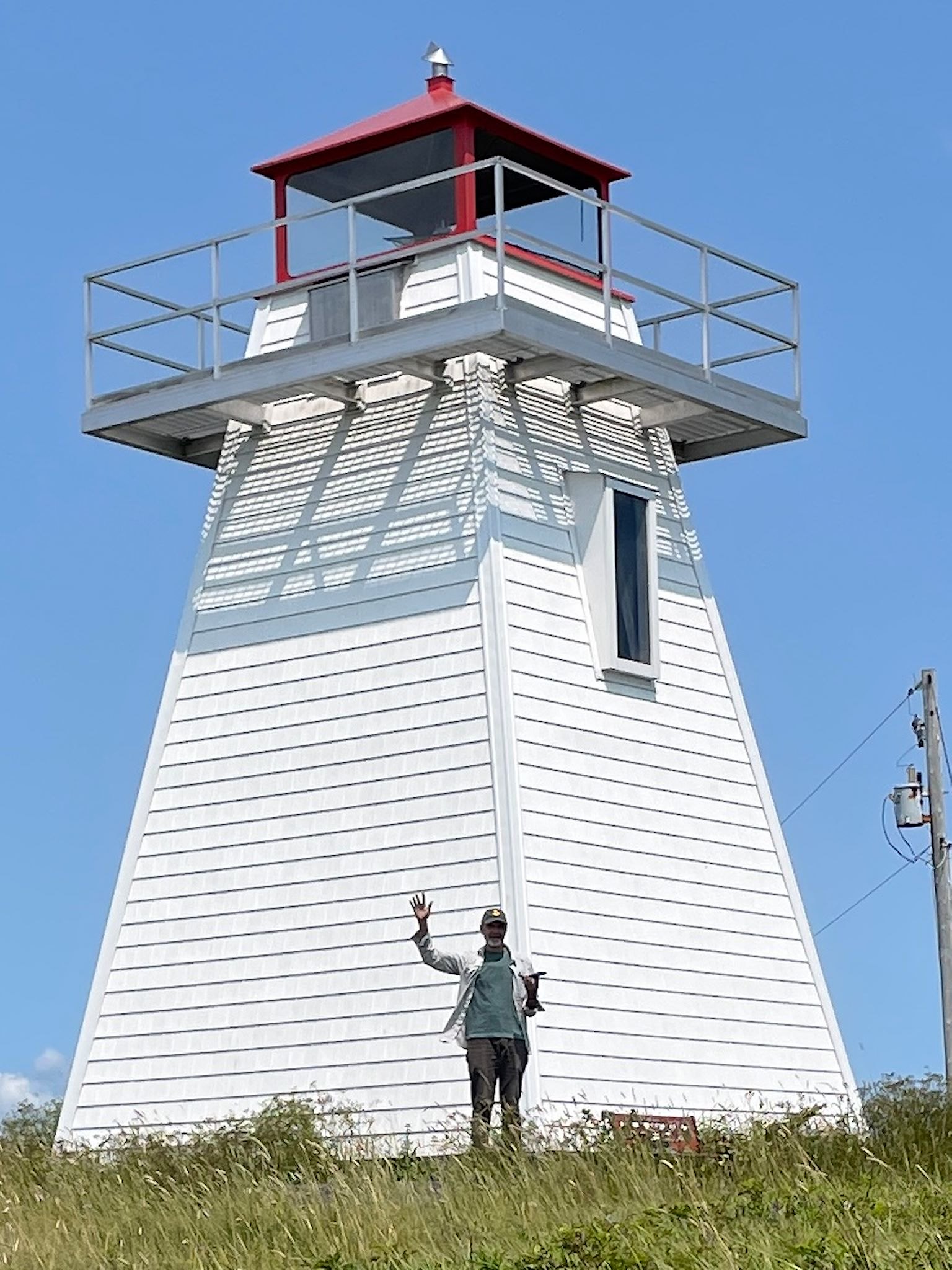
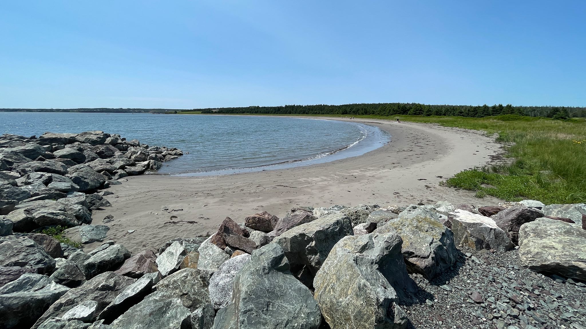
After a bit of rain (ok, a downpour!) which we weathered comfortably at our waterside site, we explored Marache Point Light house. Getting there was a mini-adventure – part road through lovely small towns, part off-road (our 19-year old RV still occasionally thinks it’s a jeep) and part hike. We also took a walk at Pondville Beach, a C-shaped sandy beach tucked in along the typically rocky coast. While at the beach, we chatted with another couple traveling in an RV. I asked they what they found interesting in Isle Madame, the response was, ‘nothing, and we love it – it’s so peaceful!’ Ann-Marie and Craig nailed this one. Thank you!
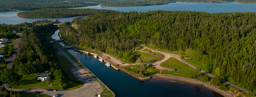
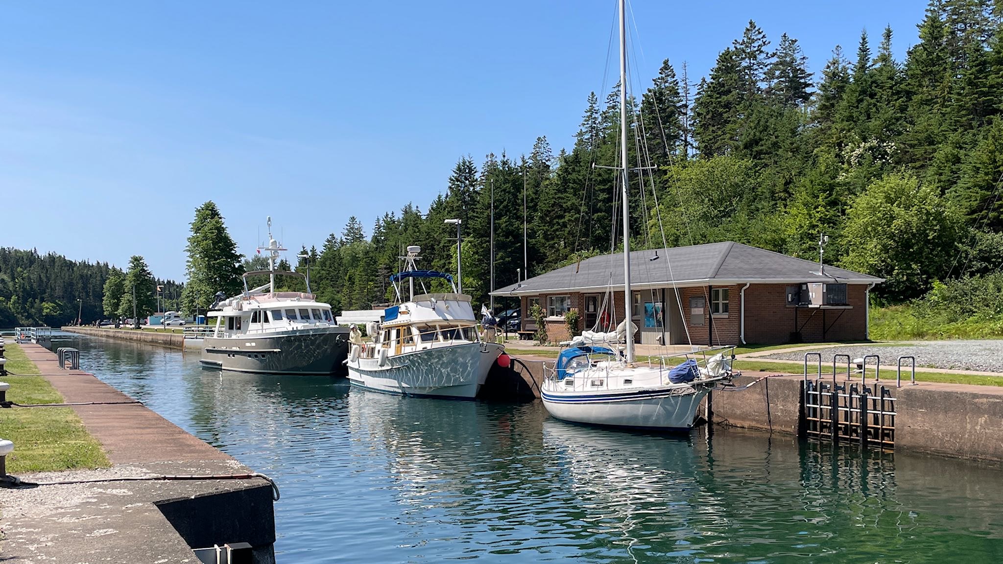
Close the locks, equalize the water level, open the locks, then open the bridge
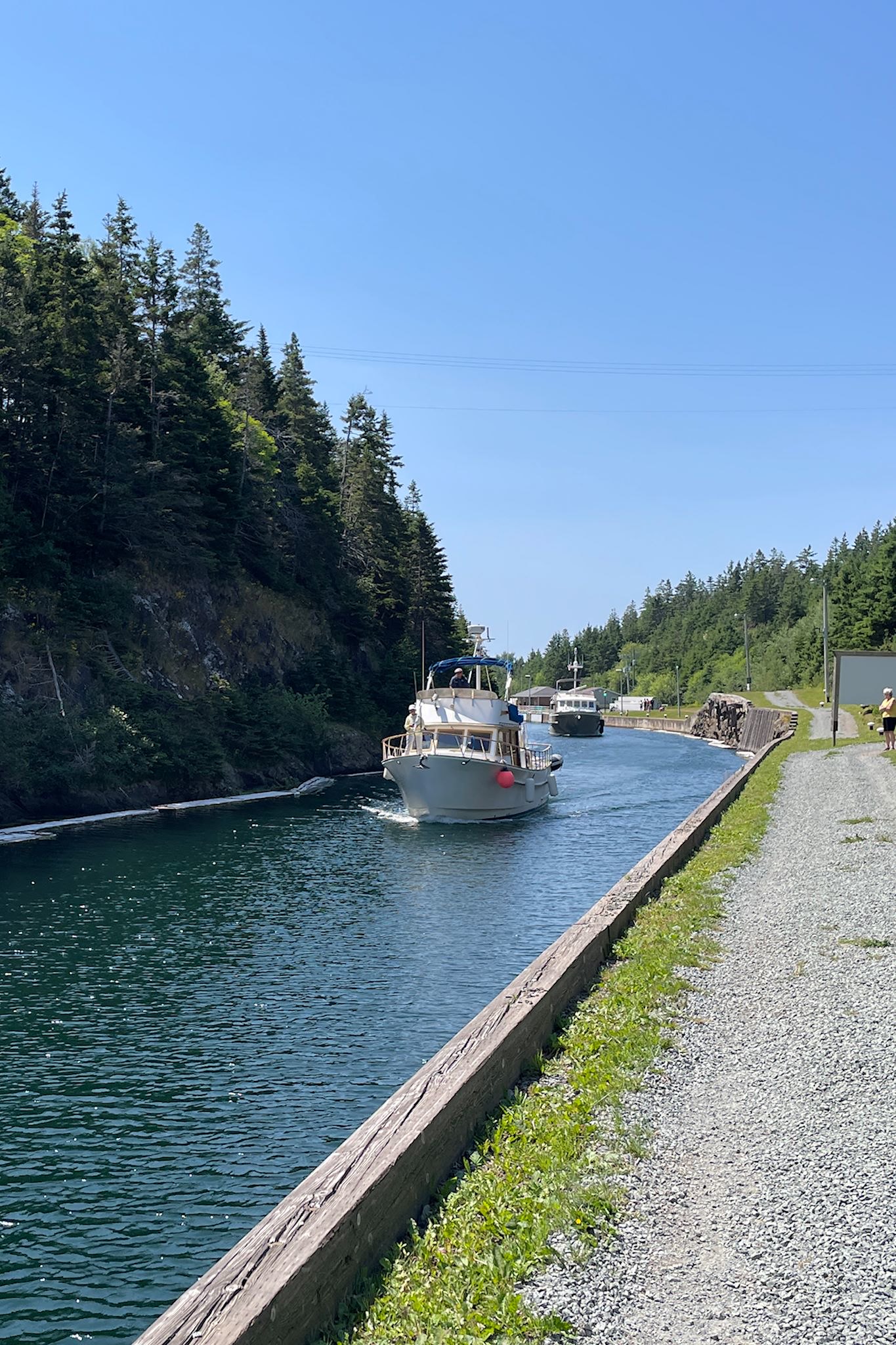
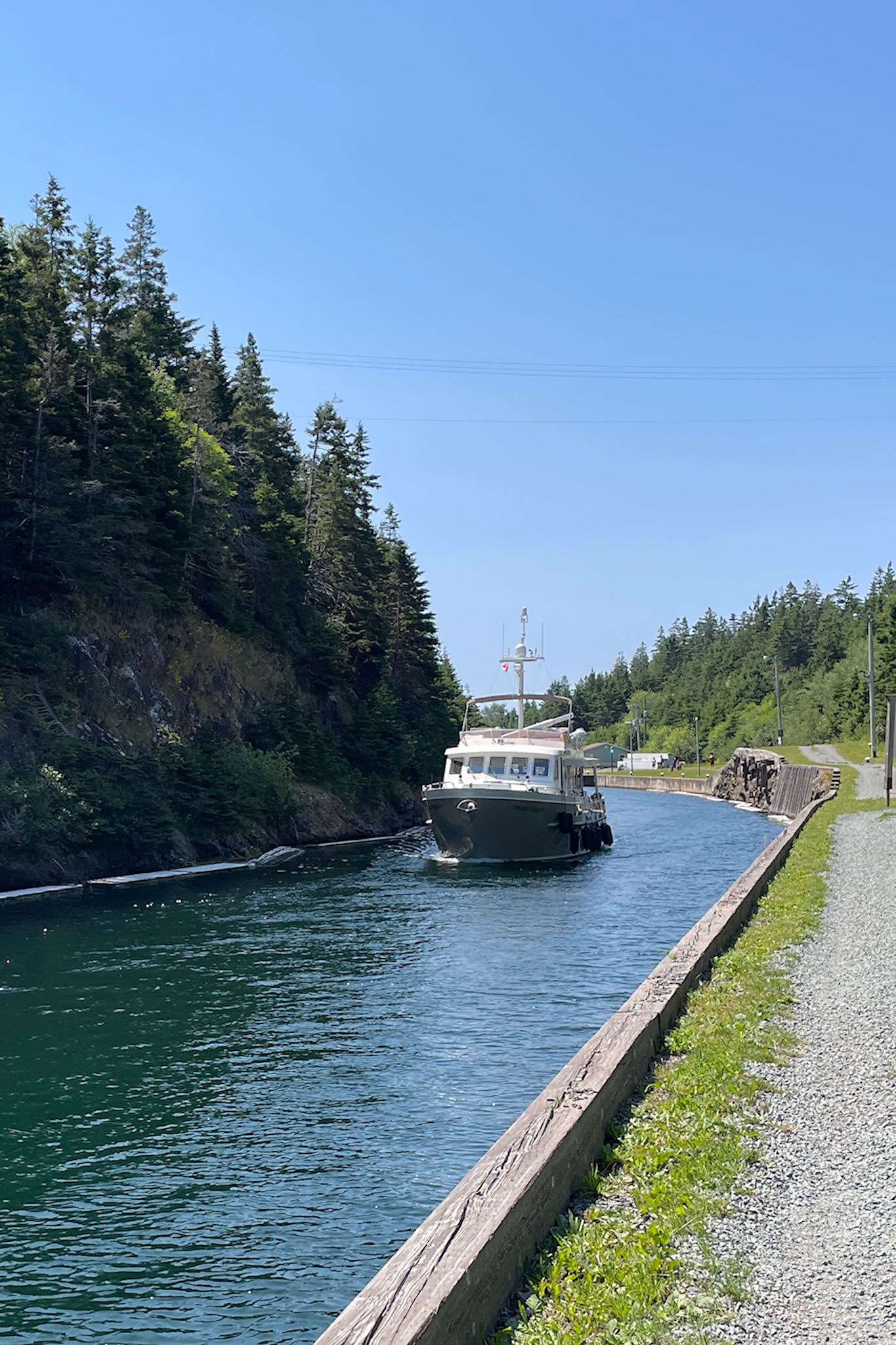
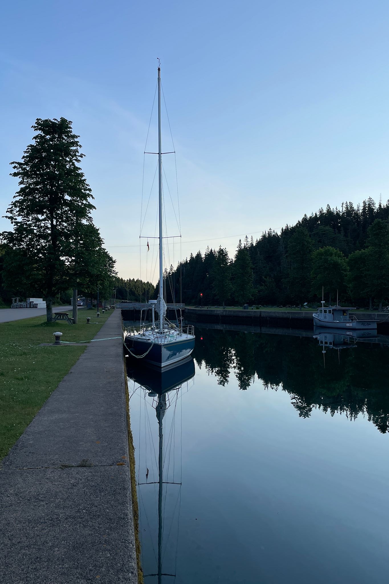
Our new friends from the Irish Club also suggested we visit Saint Peter’s, home of the world famous Saint Peters (not a typo) Canal. The narrow isthmus between the Atlantic Ocean and Bras d’Dor Lake had been inhabited since at least the 17th century by the Mi’kmak (who’d of course been there long before) as well as French-speaking trappers and traders. In 1630, an enterprising Frenchman, Nicholas Denys, set up a fur trading operation there. Although the Mi’kmak had been using the isthmus as a canoe portage, Denys helped create a ‘haulover’ where oxen (and sometimes people) pulled boats from one side of the isthmus to the other.
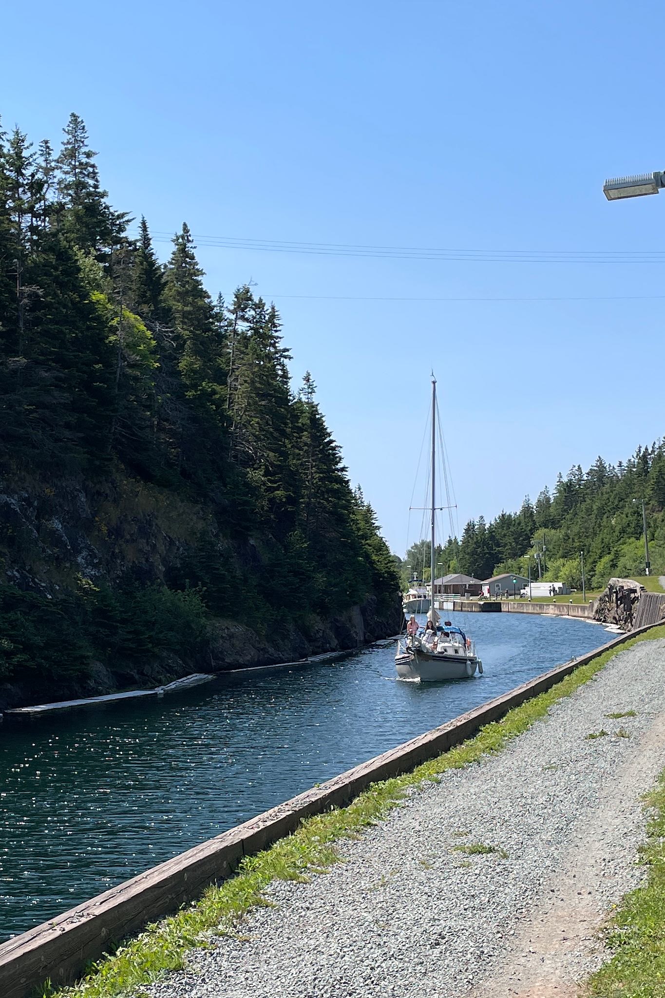
Trading increased over the centuries as it was determined the inland route to Sydney (then a large settlement in Nova Scotia) via Bras d’Or Lake was safer than sailing the rough Atlantic around Cape Breton. In 1825, a feasibility evaluation of building a canal to replace the haulover was begun. Construction of the canal started in 1854 and took 15 years to complete. The final canal was 800 M/2,600 ft long, 30 M/100 ft wide. A set of double locks is used to match the different water levels to adjust for the tides. It’s the only lock in North America in place solely to accommodate the tides, as opposed to inherent differences in altitude between the connected bodies of water.
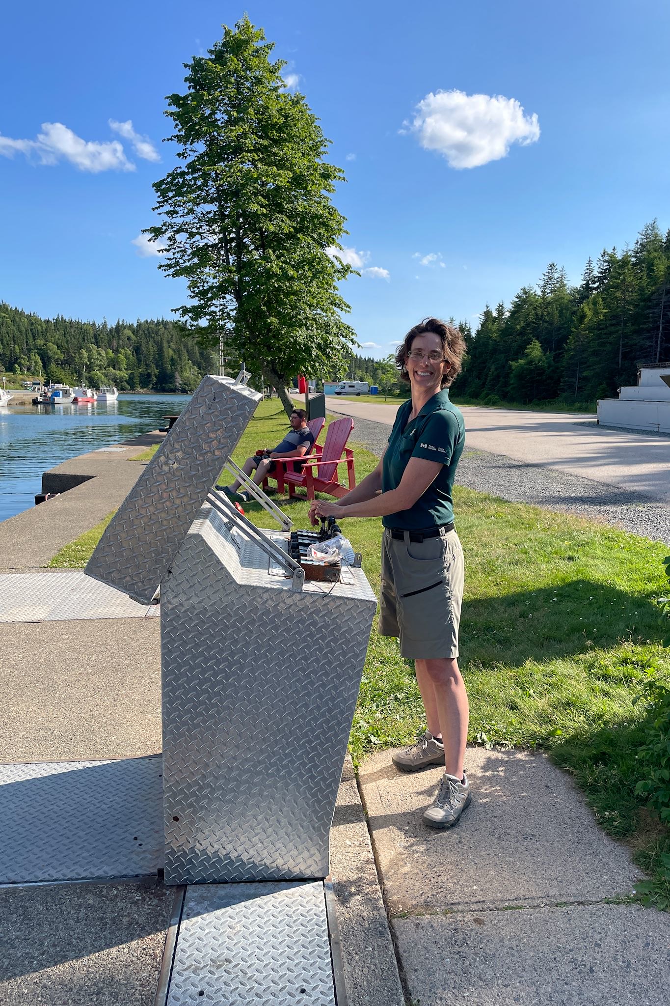
Today, the canal and associated swing bridge are operated by Parks Canada. Oh and the bridge! Highway 4 crosses the canal in Saint Peter’s. To accommodate tall marine traffic, the bridge swings open from one side. It was fascinating to watch. I wondered about the physics of this lopsided giant chunk of metal that carried traffic, including our RV, safely across a body of water, until Doug pointed out that the short section just behind the fulcrum of the bridge was thick and heavy, acting as a counterweight to the narrow, lighter swinging end. It was very cool to watch the bridge swing open and closed, making virtually no sound whatsoever. Another fun town to explore!
For anyone interested, more Isle Madame and Saint Peters Canal pix…