
Folks told us we’d be bored with all the flatness and corn fields of eastern and central South Dakota and North Dakota. ‘Take the interstate. Drive 80 mph along with the trucks. Suck it up and get it over with.’ Trucks? Hmm. Plus, 65 mph in our rig feels almost too fast, and we haven’t driven 100 miles straight on an interstate since we left Maine. To top it off, the sights we wanted to see called for a diagonal route through both states and the interstates just don’t go that way – but, hey look, some of these state roads do!
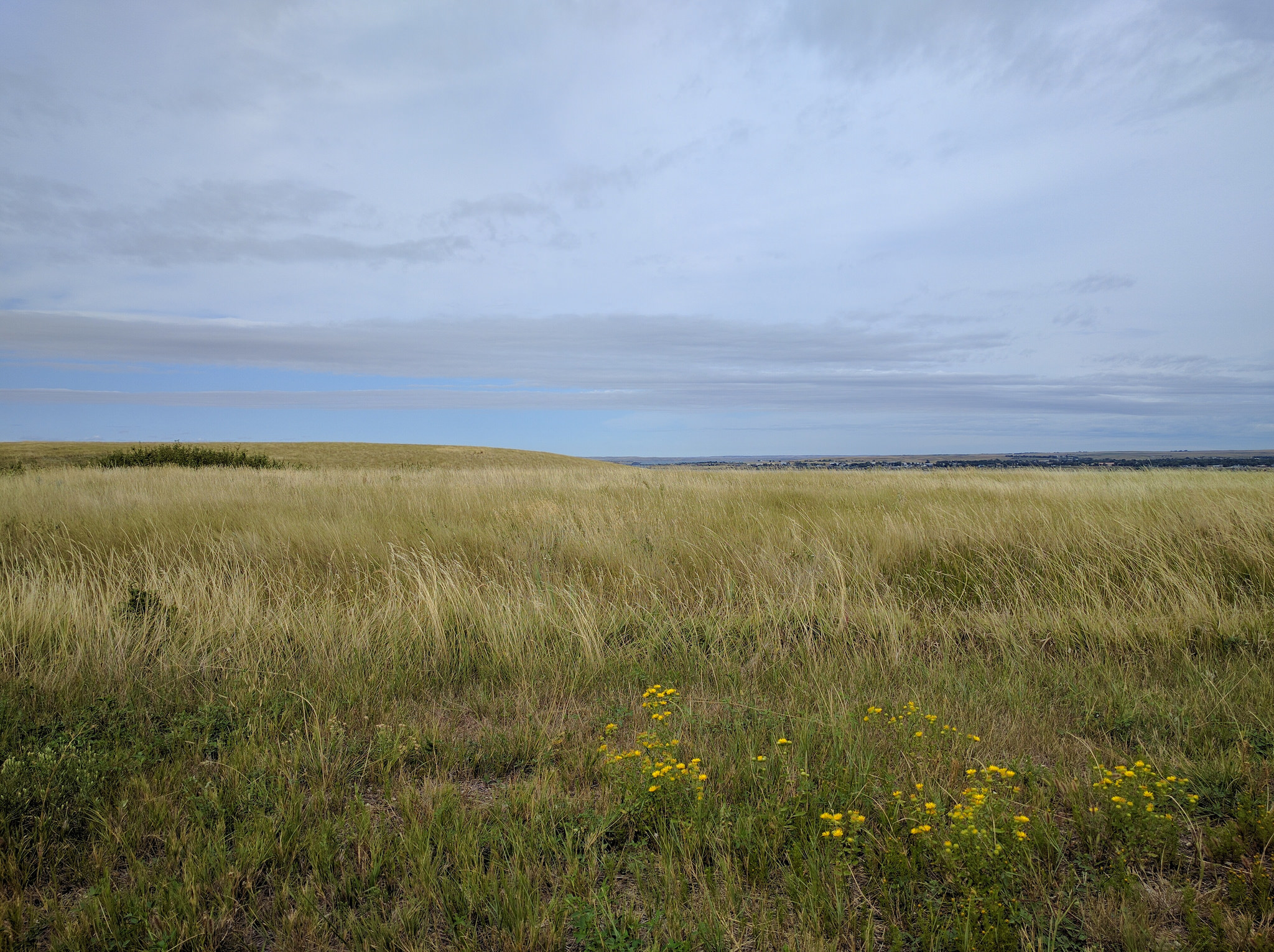
From Egan, SD, we set a course for Washburn, ND, (more on why later) and let our more-or-less trusty Google Maps GPS pick a route and settled in for some boring flat terrain with lots of corn fields. Well, that lasted about an hour. Yes, there was some corn. And there were beans. And acres and acres of sunflowers smiling at us as we drove the backroads at a comfortable 60 mph (the speed limit is higher, but there’s literally no other traffic so we didn’t get in anyone’s way). It’s true, there were a few flat stretches, but most of the route rolled over gentle hills, creating a ribbon cutting through gorgeous farmed fields and the occasional prairie.
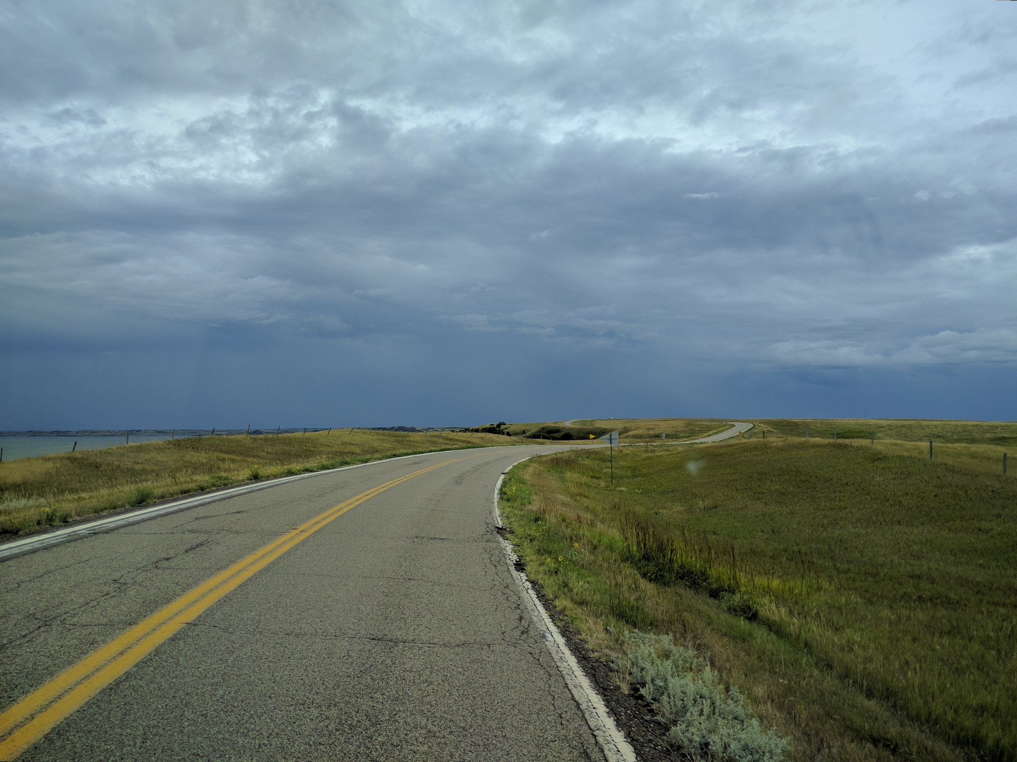
We weren’t expecting to make Washburn in one day, so we stopped in Aberdeen, SD enjoying another pleasant stay at a WalMart. Looking ahead a bit, we realized Aberdeen (population 27,000) was also the last sizable city we’d drive through for a few days unless we chose to go to Bismark, the capital of ND. We opted to shop for groceries and do laundry in Aberdeen before moving on. Although the GPS route had us heading north into ND, we noticed a rather large lake a little to the west in SD and decided to go just a bit further in that direction before pointing north.
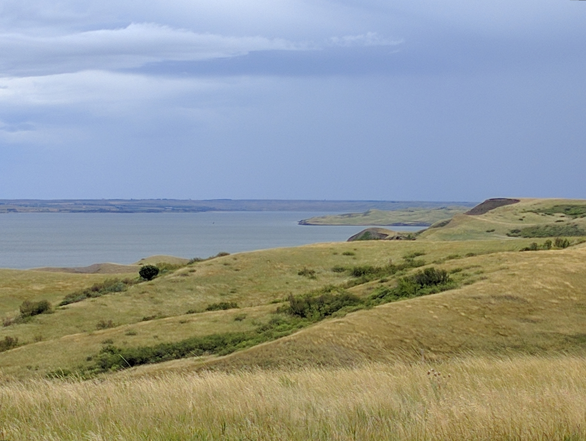
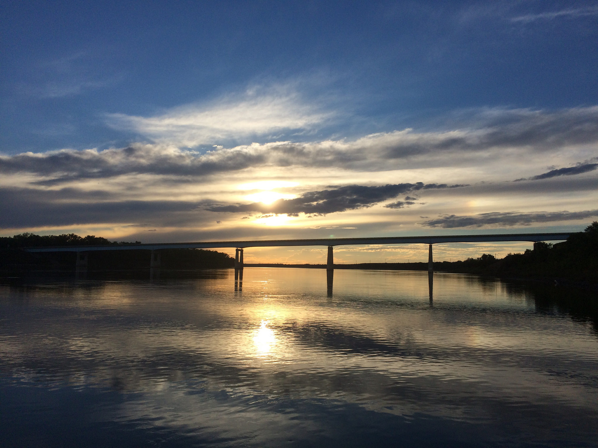
So glad we did! Lake Oahe, behind the Oahe Dam on the Missouri River, was absolutely beautiful! The lake was surrounded by big open rolling hills with views in all directions. We crossed the lake on a huge, long bridge (bridge!) in Mobridge, SD, into the Standing Rock Indian Reservation. That’s where we found monuments to Sitting Bull (Sioux spiritual leader) and Sakajewea (Lewis and Clark guide and interpreter) on a gorgeous hillside overlooking Lake Oahe. This is also right where the Dakota Access Pipeline construction is halted (which we saw) due to protests (which we didn’t see). The area is spectacularly beautiful.
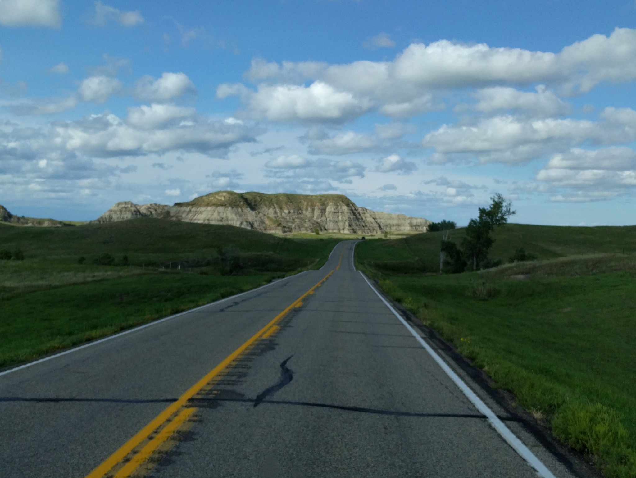
From there we continued north and crossed into ND. Again, we enjoyed a perpetually changing mix of corn, beans, sunflowers, and rolling hills with the addition of what seemed to us to be ‘practice’ badlands – great water- and wind-worn geological structures morphing both from and within the fields and prairie around us. A hint of things to come…
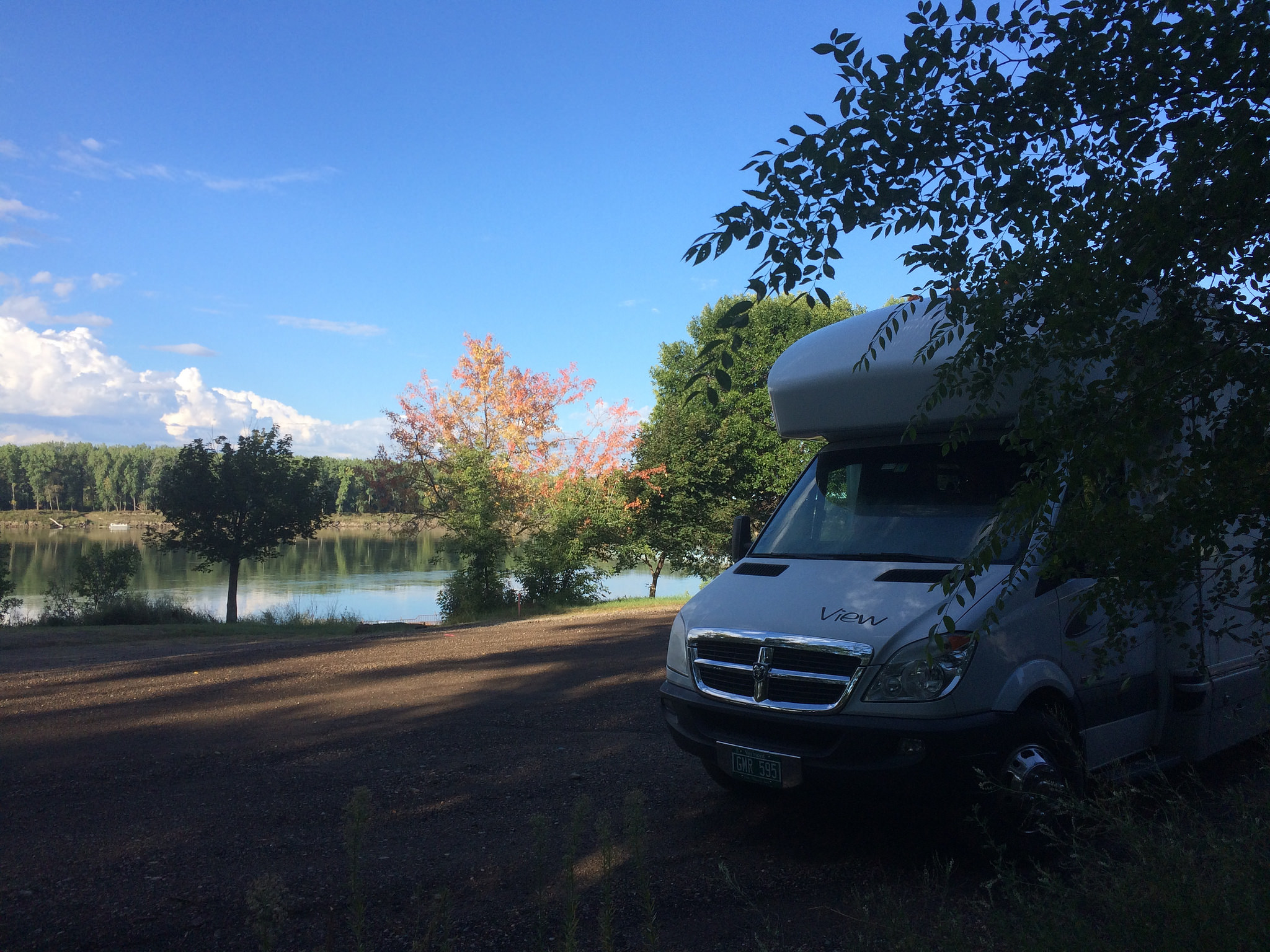
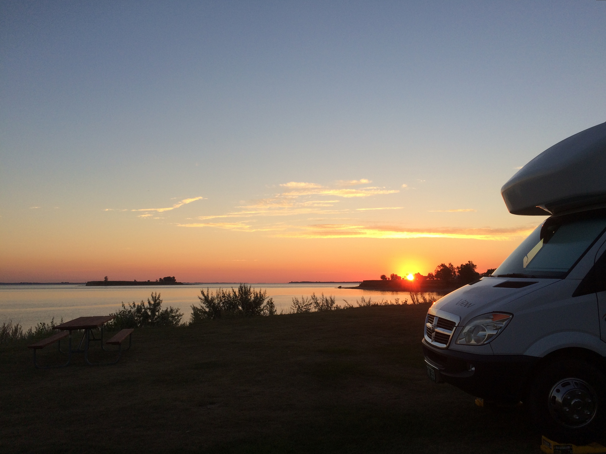
Washburn, ND (population 1300) is a cute little city on the banks of the Missouri River. It is the home of a brand new Lewis and Clark interpretive center on a bluff above the Missouri River and promised RV campsites in a city park. We arrived at the city park late in the day and (cue the squeal) the camping was right on the river – another unbelievably gorgeous view.
I was a math/science type in school; English, social studies and history, not so much. However, I always loved learning about the history of the westward expansion and hearing of the adventures of the pioneers and explorers. Meriwether Lewis and William Clark have been heroes of mine for a long time.
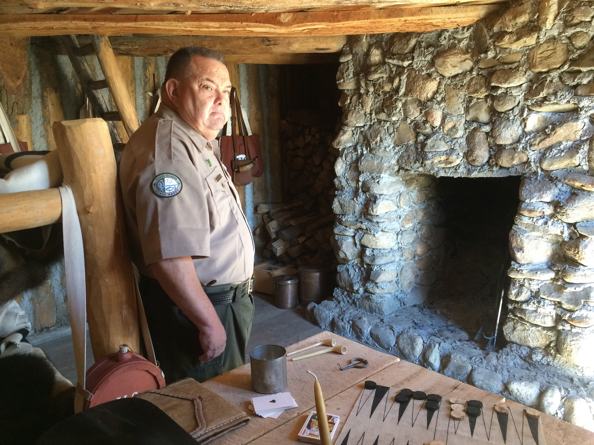
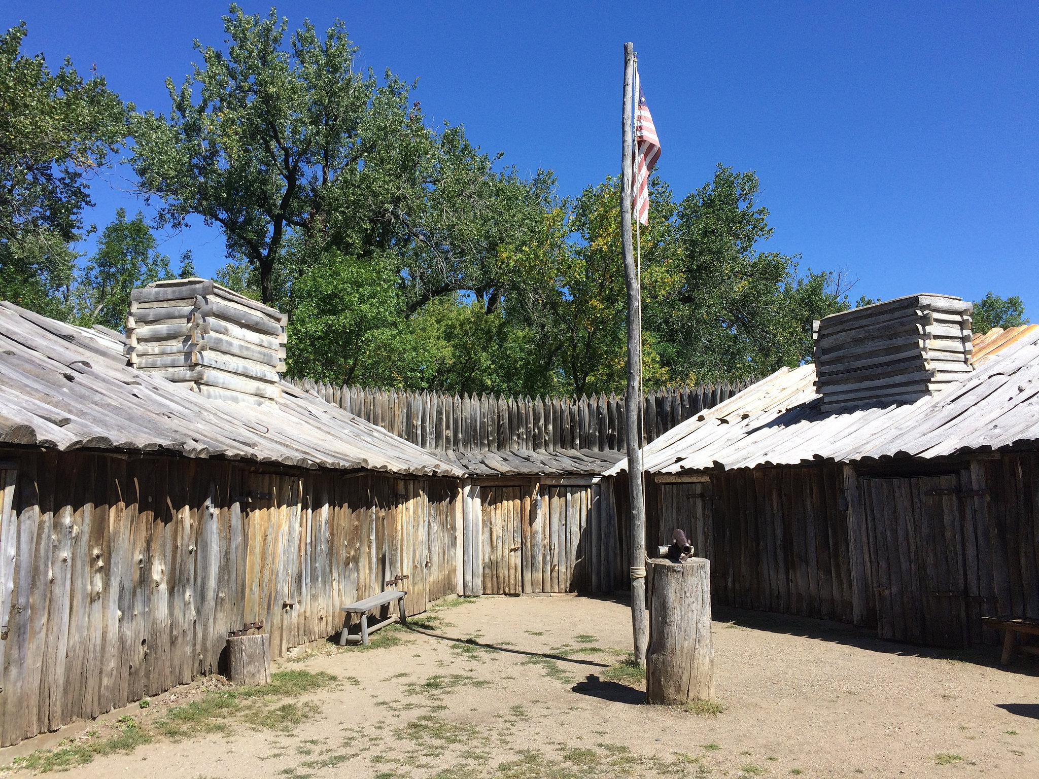
Briefly, Lewis and Clark followed the Missouri River from St. Louis all the way to its end in Montana, then crossed the continental divide to find the Columbia River and the coast of Oregon. They then essentially retraced their steps back to St. Louis – 7000 miles in about 900 days. This, they did in 1804-1806. Way before GPS, and before even polartec. When they had to hole up for the winter, they stopped near present-day Washburn and built Fort Mandan, close by the Native American agricultural and trading hub of the Mandan and Hidatsa tribes. Historians agree the pivotal point of the expedition was the winter at Fort Mandan. Had Lewis and Clark not befriended the Natives, built shelter and developed loyalty within their team while in ND, the expedition certainly would have failed.
We spent the better part of a day in the interpretive center, which in addition to Lewis and Clark history includes exhibits on ND and displays art work created by ND artists, and the nearby replica of Fort Mandan. The site of the original fort is now under the Missouri River, which continually changed course with annual flooding prior to the relatively recent dams. The current fort was recreated based on the explorer’s copious and rigorous notes and drawings.

Needing a couple of days to soak it all in, we headed for Lake Sakakawea State Park. We had heard from friends who’ve stayed in the past that the campground had a nice view. That did not prepare us for the beauty of the lake and State Park. We did indeed soak it all in…
And, we’re still waiting for the boring part.
More pix on East/Central Dakotas, Lewis & Clark, Lake Sakakawea…
Well, if you keep following Lewis and Clark’s route you’ll end up in the great state of Idaho.
Take a left and come see us!
Karen & Harry
Idaho, and catching up with you after way too long, is high on our list. We need to start heading east to winter at Fort Sugarbush. Planning to venture further west on the next trip. Hugs are coming your way!