
Continuing to follow the Google-Maps-suggested route south towards Telluride brought us within 9 miles of the Black Canyon of the Gunnison National Park. We’ve got time – let’s check it out!
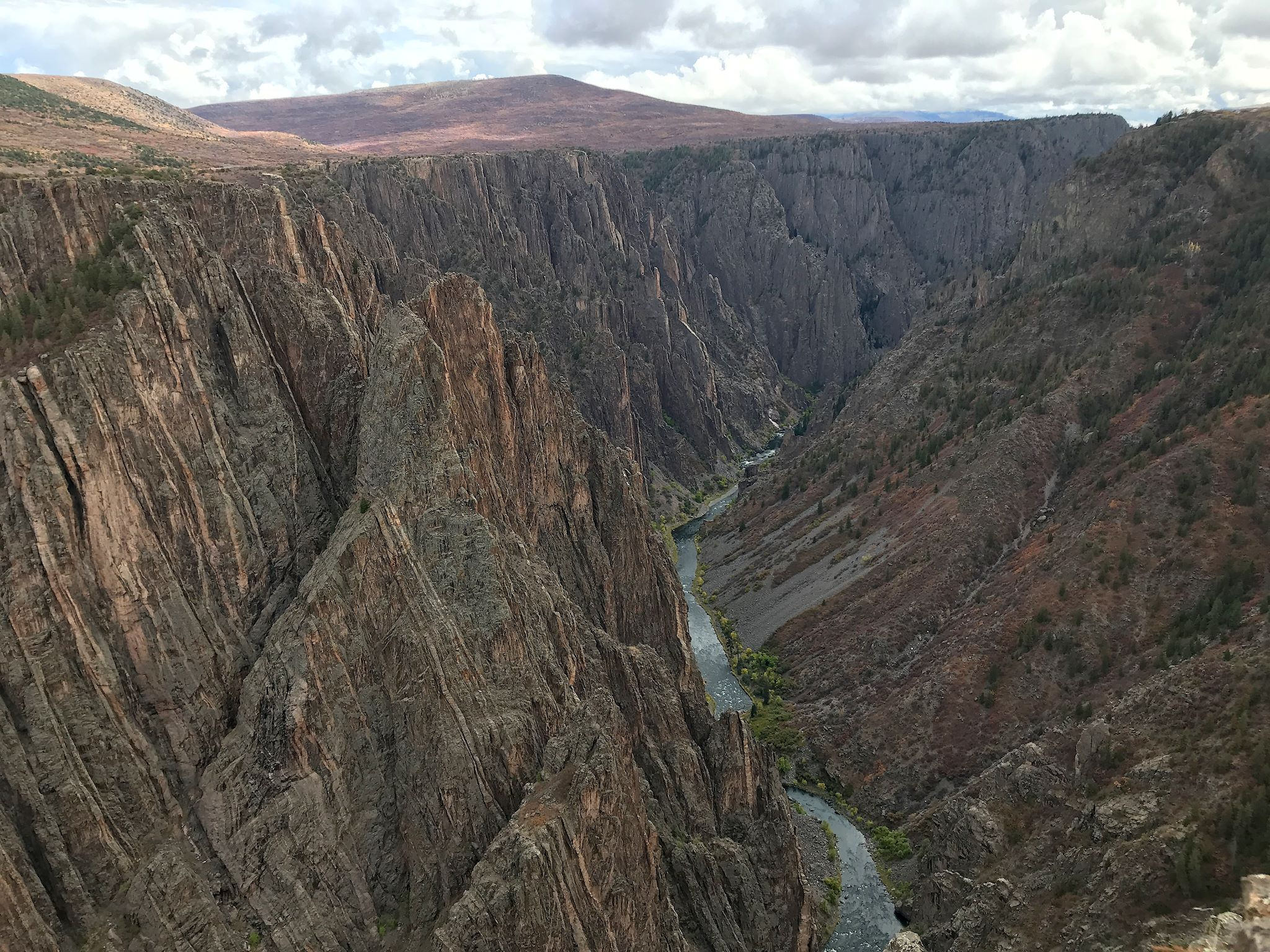
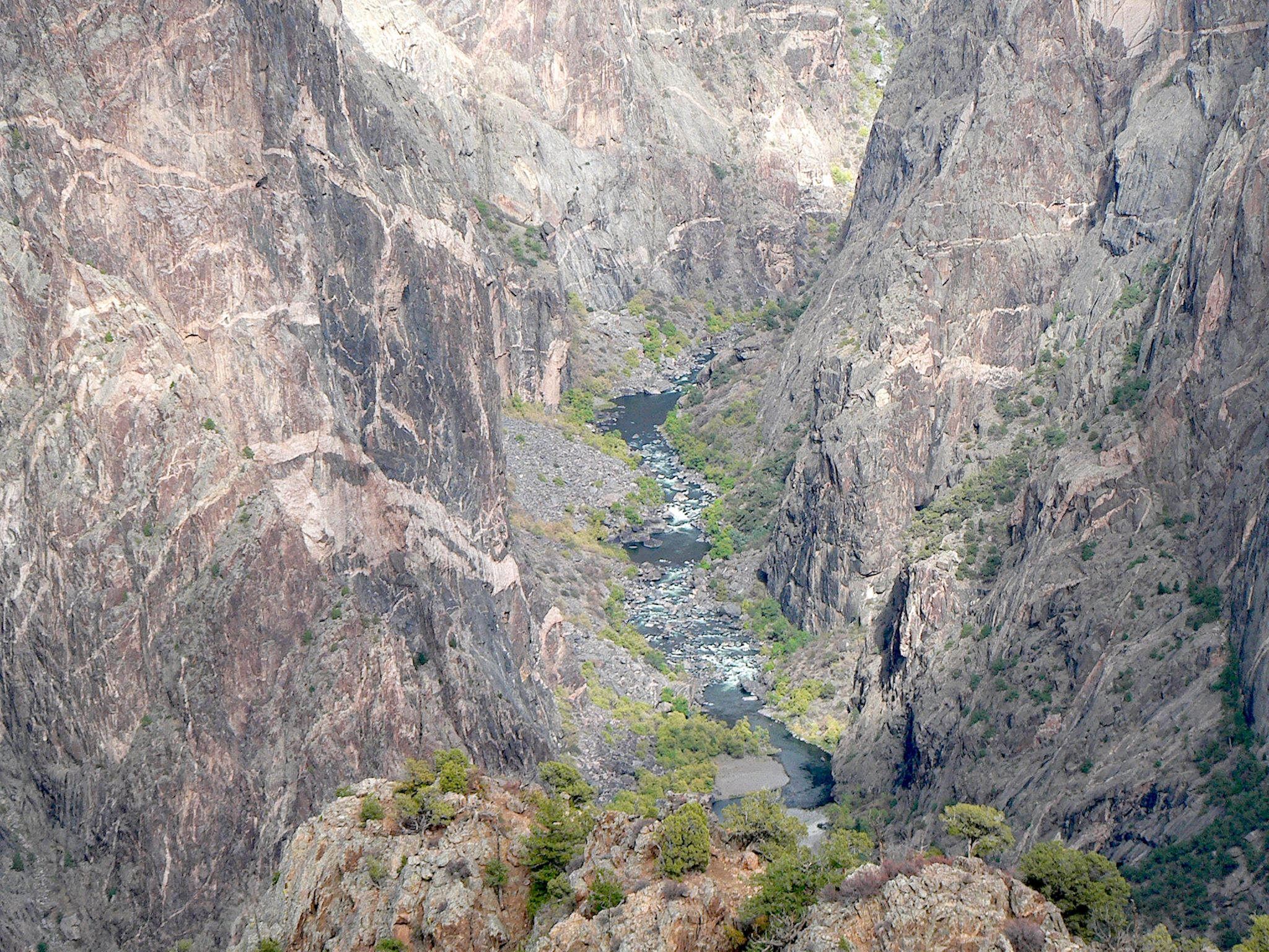
Although it had been a National Monument since 1933, the Black Canyon was designated a National Park in 1999, so it’s one of America’s newest National Parks. Though its walls are, indeed, darker in color than some (we’d just hiked in the pink-walled canyons of Colorado National Monument…), the name actually comes from the limited sunlight that reaches the canyon floor – in some places, only 33 minutes a day – leaving much of the canyon in the shadows most of the time. The park surrounds about 12 miles (25%) of the Gunnison River where it forms one of the longest, narrowest and deepest gorges in the world. The Gunnison has been at work for millions of years creating the steep, narrow, deep V-shaped canyons – the Black Canyon’s tallest cliff (near the Painted Wall) is 2,250 feet and the narrowest point (near Devils Lookout, and surprisingly close to the Painted Wall) is 40 feet.
As we might have anticipated, this National Park is a paradise for technical climbers and boaters; for hiking, not so much…
We studied the park map, looking in particular for ways really get to see and experience the canyon. With map in hand, we headed to the Visitor Center to ask the ranger about the park’s hiking trails. ‘This is it,’ she said. Black Canyon is not a large National Park. It has a grand total of 7 miles of hiking trails. Hmmm…
Like many of the National Parks, it does have a scenic drive. This one is 6 miles long and winds along the rim of the canyon with overlooks over the most significant or spectacular areas. The ranger offered that most have great interpretive signs with great info on the canyon. Hmmm…
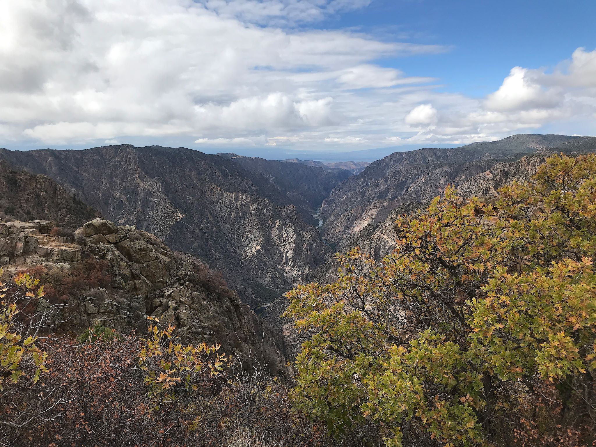
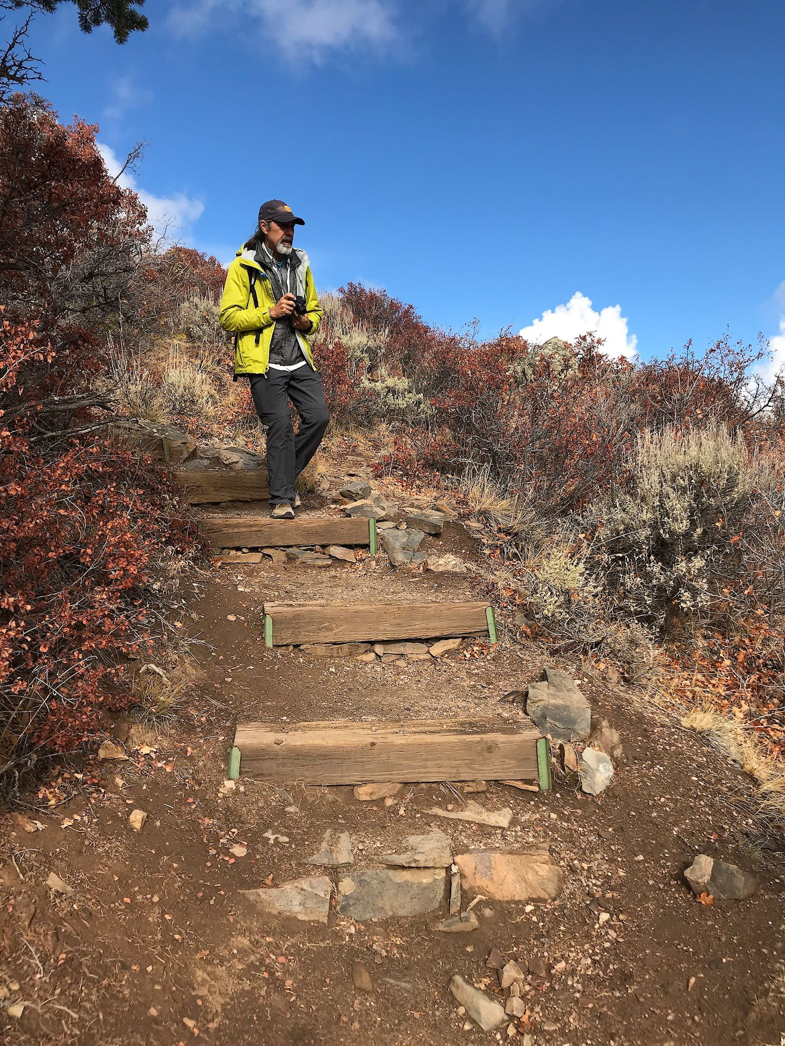
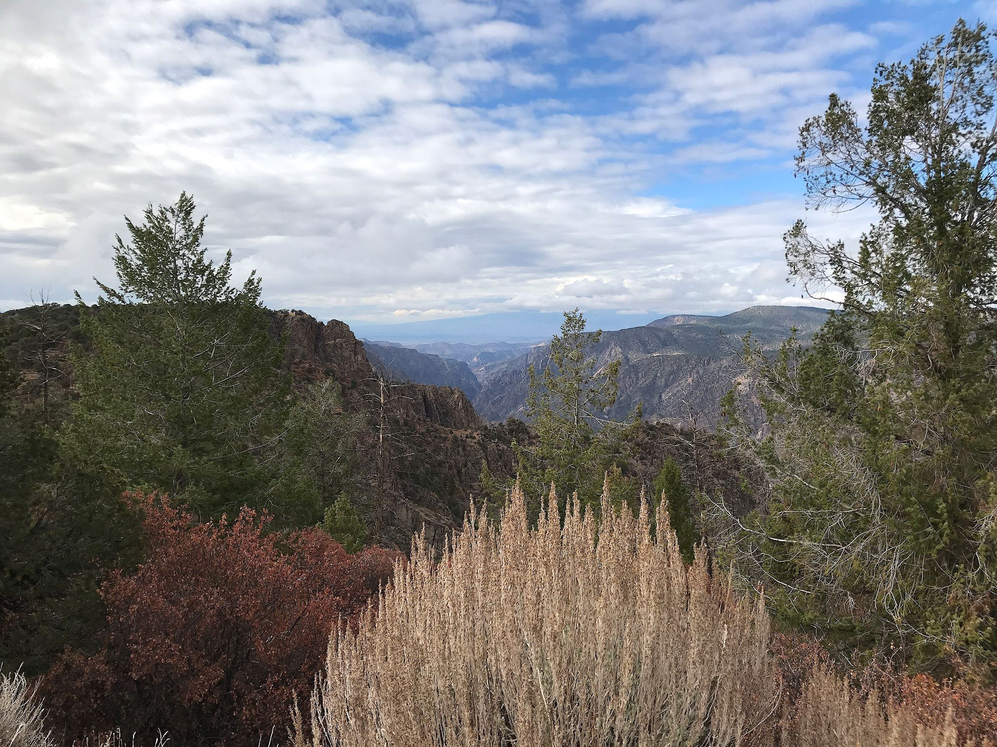
So the best way to experience the canyons was through the scenic drive… We could break camp and drive our RV or get our trusty bicycles and ride the route. Or we could turn it into a hike! About a third of the distance was on a trail that paralleled the scenic drive, then we walked along the shoulder for the remainder. There were a total of 12 overlooks along the way, each with a different view, focus and historical perspective. Interestingly enough, we essentially kept pace with a cohort of canyon explorers. By the time they parked their cars, unloaded, got to the overlook, walked back to their cars, loaded up, waited for traffic and continued on, we had time to walk by, squeal, take a couple (or 37) photos, and catch them at the next overlook.

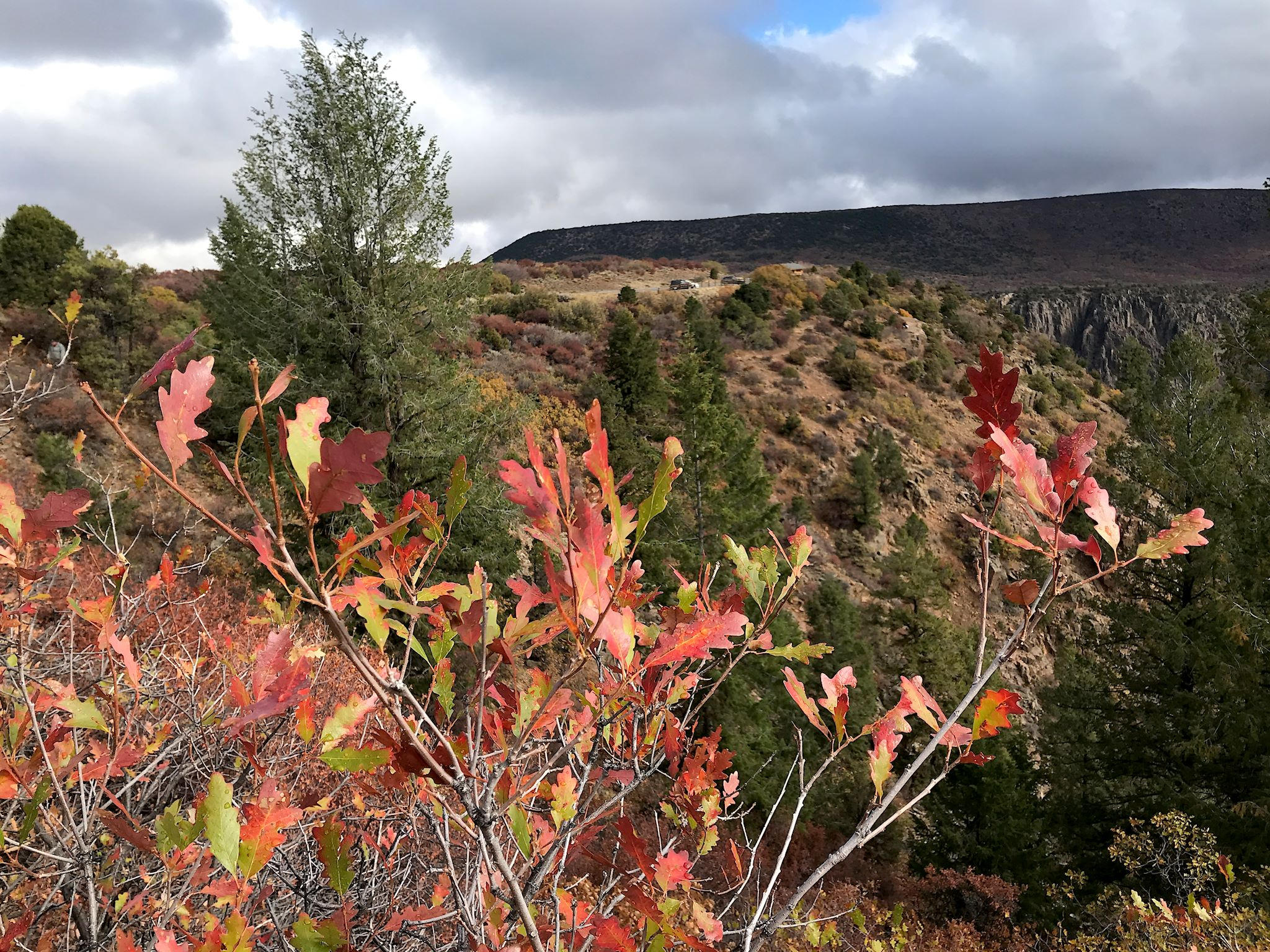
Of course we saw lots of rocks, cliffs and outlandishly colored canyon walls. They were not all dark. We learned that the lightish-pinkish striations in the rock were extra hard layers of rock that eroded more slowly and created the curves in the canyon floor.


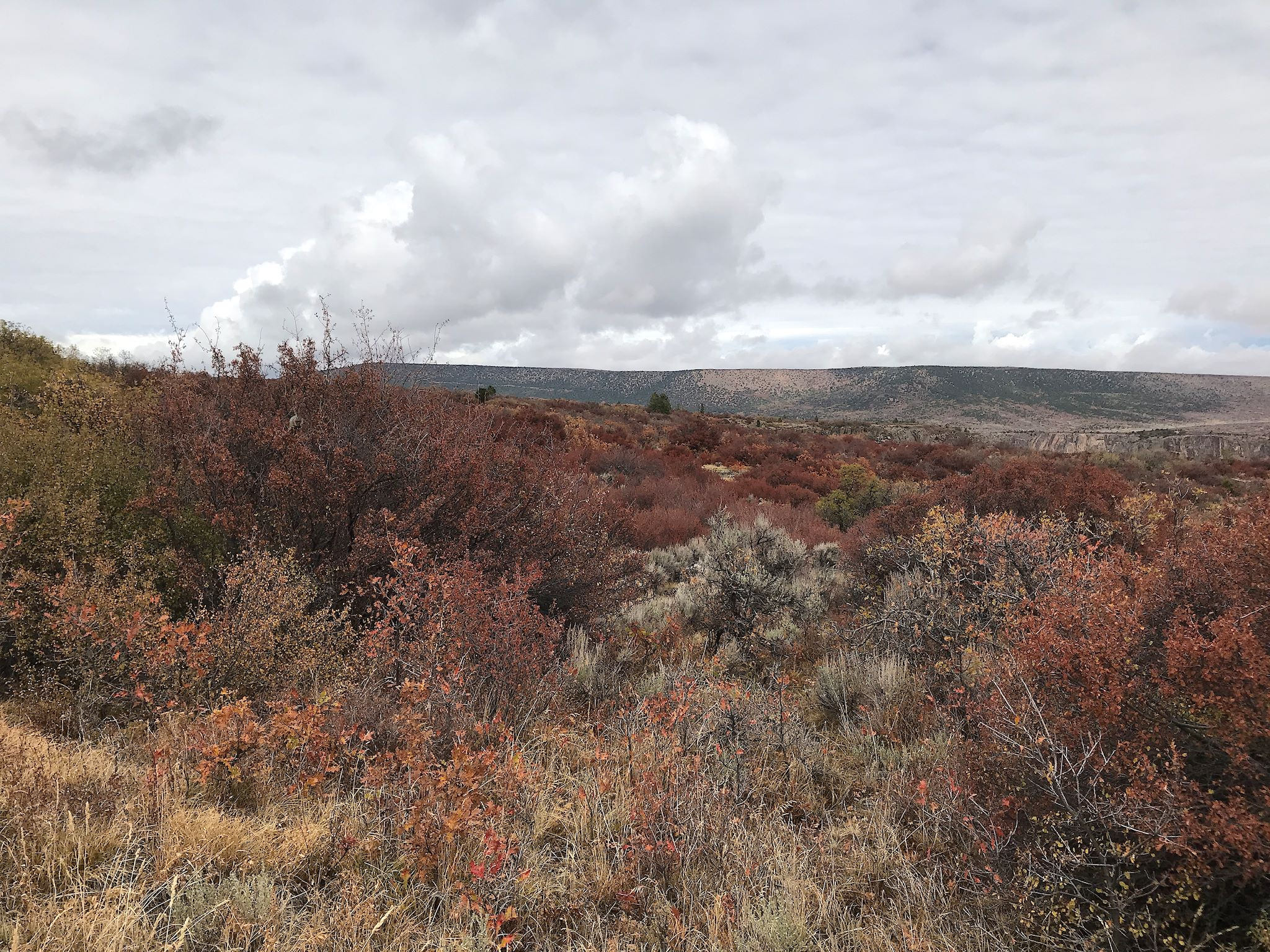
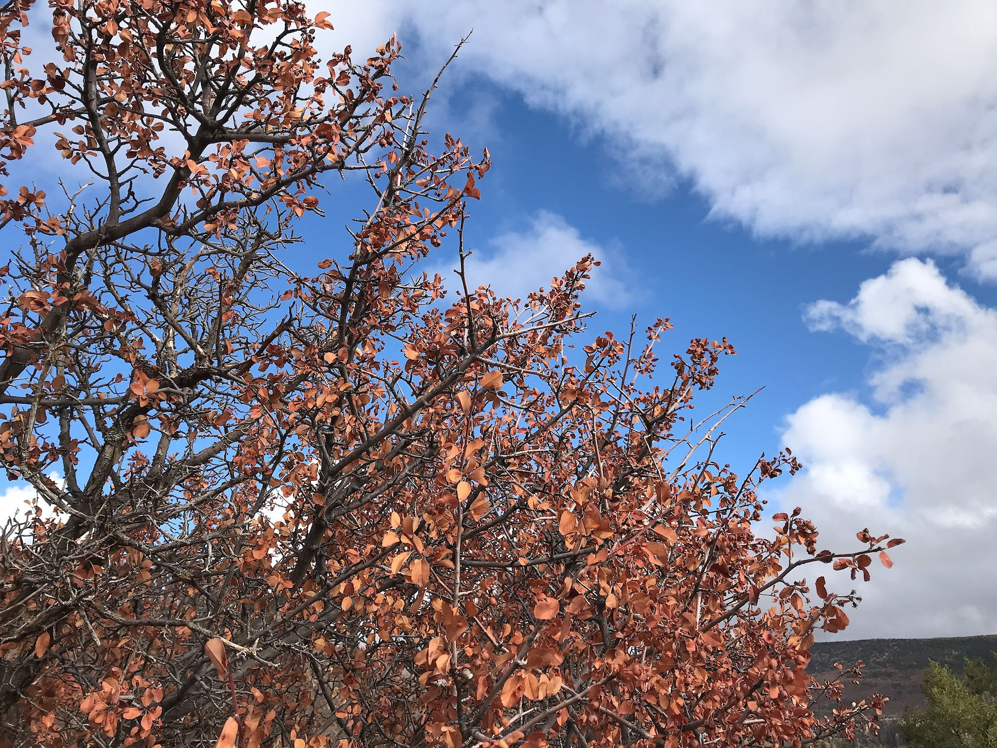
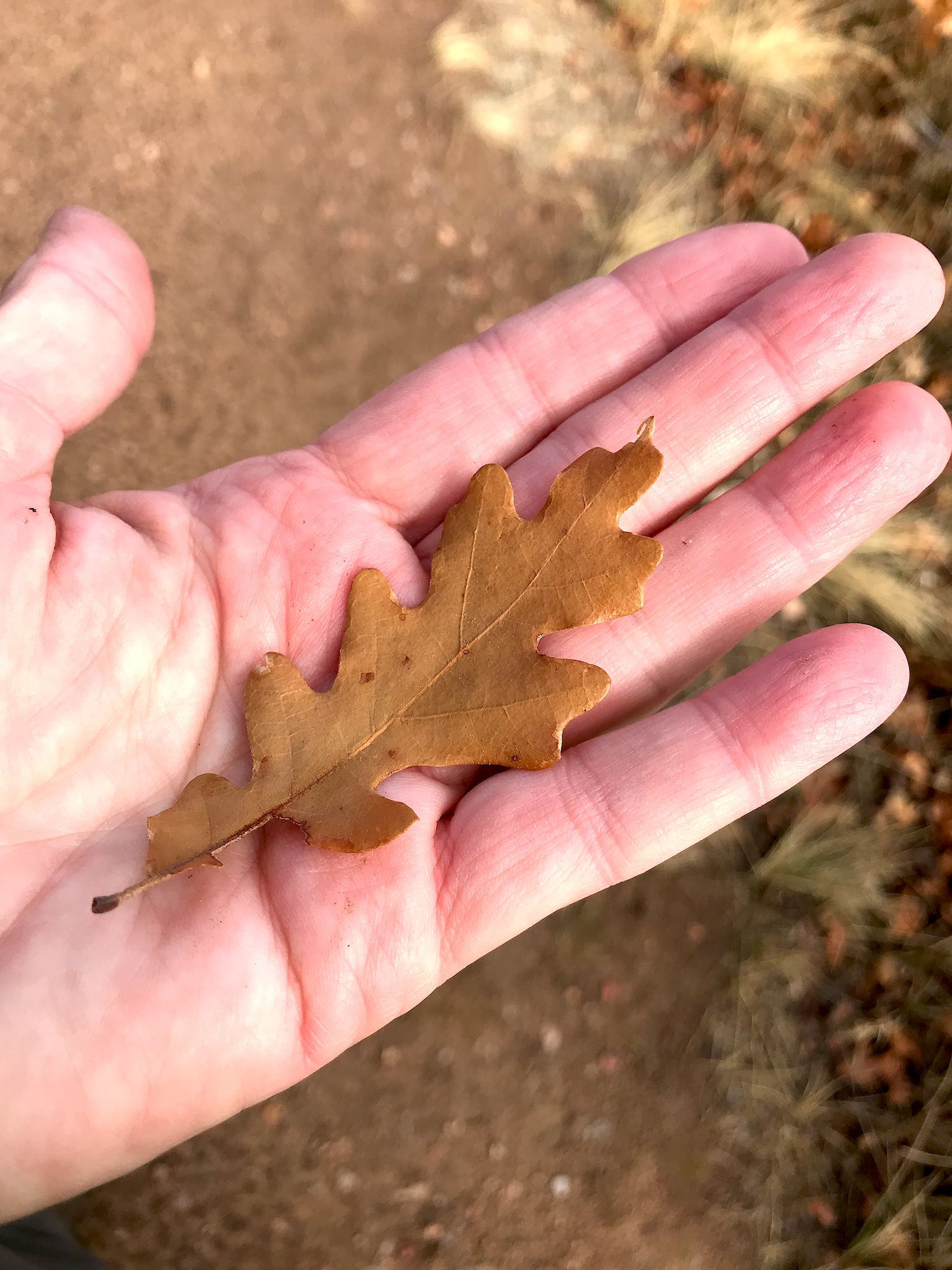
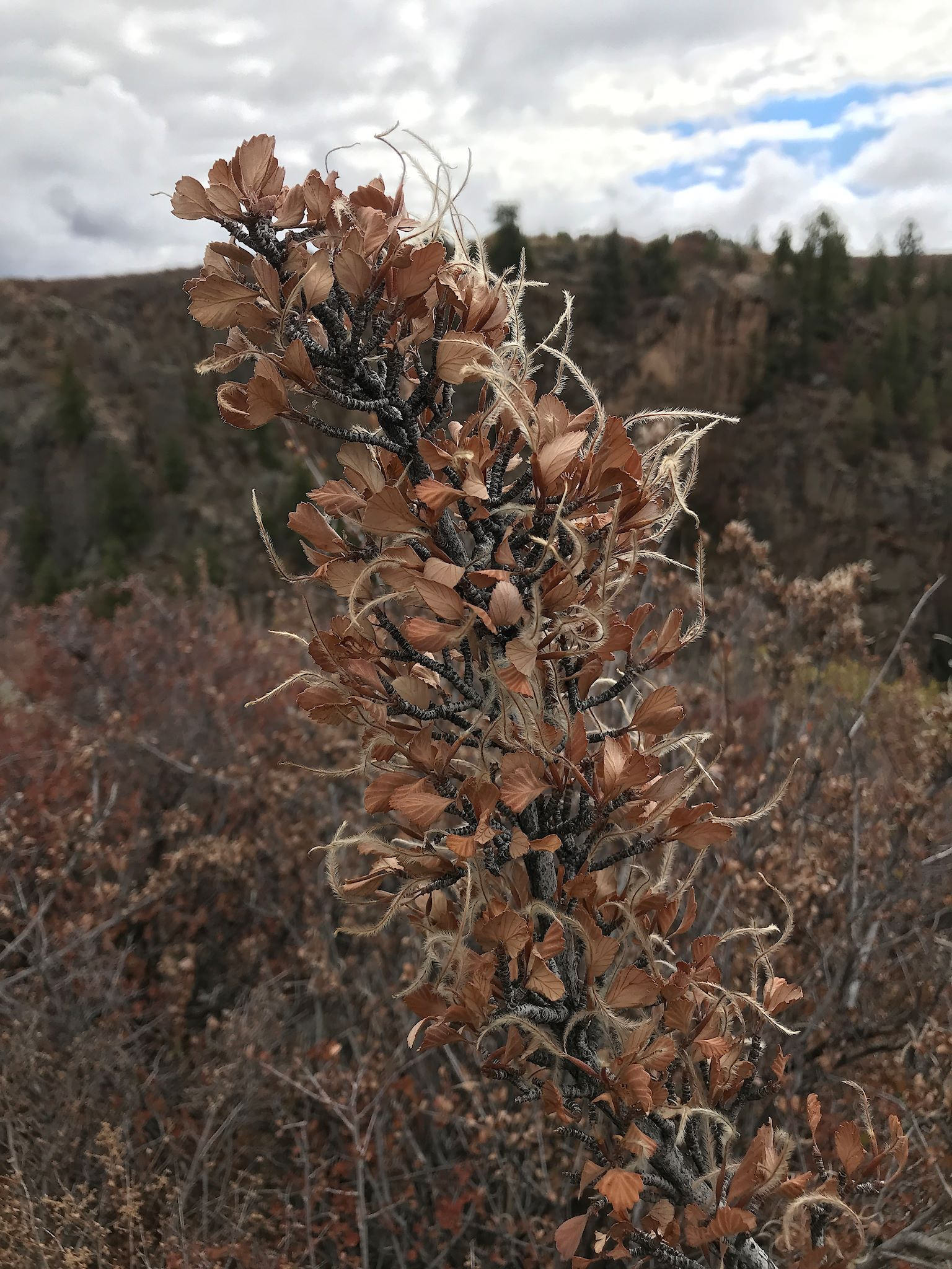
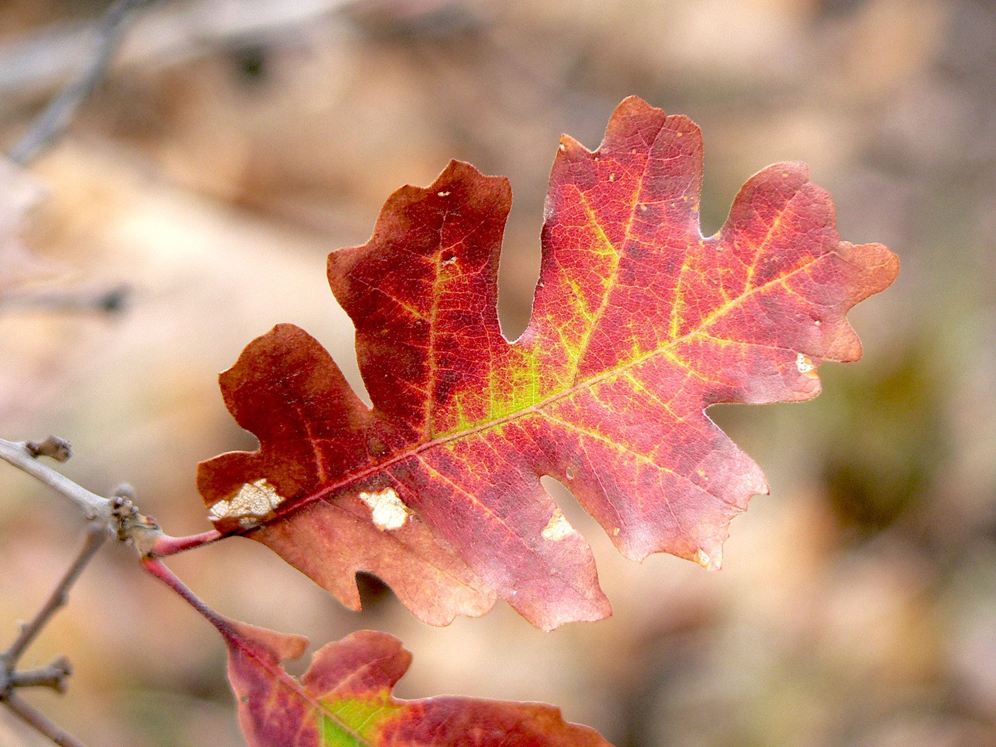
The near-peak autumn-tinged forest of desert shrubs covering the plateau surrounding the rim was fascinating. The best description of the colors was ‘spice cabinet.’ (I wish I’d made that up, but I read it somewhere…) The serviceberry was deep, paprika red while the mountain mahogany was a muted coriander hue. The singleleaf ash was more yellow, almost curry colored. The dominant species was Gambel oak which turned a deep gold cumin color, or bright reddish saffron. The mix was dotted with sage-colored sagebrush (well, duh…) with a few bare pepper-colored branches where leaves had already dropped.


The end of the road provided two surprises. From Warner Point, 2,700 feet above the river, we could essentially see the end of the Black Canyon. The river wound through a few more twists and turns, past shorter and shorter cliffs, as the Black Canyon yielded its grandeur to agricultural land in the flat Gunnison River Valley in the distance.
We were also surprised to see a tiny sign: ‘Wilderness permit required to hike this trail.’ Hmmm… what about these? Upon further inquiry, the ranger revealed that there were 3 ‘secret’ trails in the park. You had to know enough to ask for the map, be interviewed by a ranger to assure them you could hike down into a canyon (and back), at which point you could obtain your (free) permit by signing the form. Hmmm… Yes, we could get a permit, unless it snowed, which would make render the trails too hazardous to hike down into the steep canyon. We awoke to a few inches of new snow and the secret trails, even the scenic drive, were closed. SIGH.
For anyone who’s interested, more South Rim camp and Scenic Drive hike pix…
Great pix! Where is Stella? So, are you thinking about taking up rock climbing?
Thanks Barb!
Weren’t you in that rock climbing class at Sugarbush a hundred years ago? That was so fun! Loved the rubber landing pad!
Stella lives right outside of Telluride. Check out the Telluride post and albums… She’s a cutie! And so is Zoey…