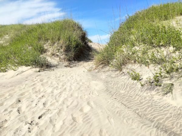
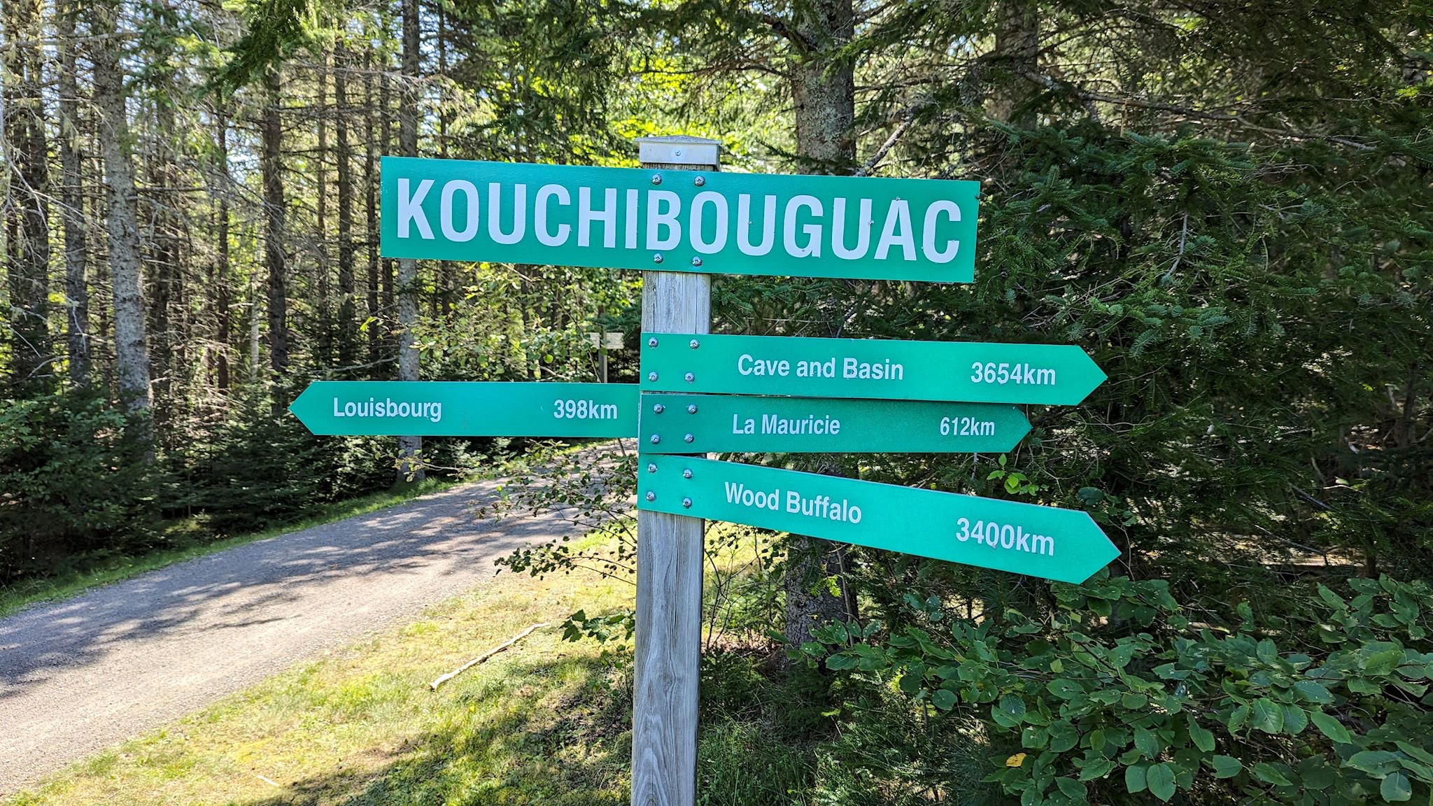
New River Gorge National Park

New River Gorge Bridge

When we first decided to travel about in an RV back in 2015, the first thing we did was create a master electronic map where we’d put e-push pins everywhere we wanted to visit. It’s likely no surprise that among the first pins to make it to the map were the National Parks in the US and Canada. About a year ago, I read a NY Times article about the New River Gorge National Park in West Virginia. Hmmm… this isn’t on our map. How’d that happen? It turns out that although the New River has been a protected river (no dams/development) since 1978, it was re-designated as a National Park in 2020. We added a push pin.

Continue reading “New River Gorge National Park”

The Outer Banks

An invitation to explore…

We’d never been to the Outer Banks. What are these things? What’s out there? They are a chain of long, thin islands shielding the coast of North Carolina, although they’re not normal islands. They’re more like sand dunes, evolving by the minute from the wind, tides and waves, and slowly shifting the Outer Banks south and west over time. They’re long, over 100 miles (the inlets between the islands close up and form anew in different places with time and the storms), and quite narrow, from a few hundred feet to 3 miles wide, and they are low, with an average elevation of 12 feet above sea level.

Continue reading “The Outer Banks”

Heading east

Well it’s been about a week and a half since I dropped Sue off at the airport in Salt Lake City. Unfortunately, there is much to keep her busy down in Florida and it doesn’t look like she’ll be able to rejoin me on the road. The upshot is that I’m gaining a fuller appreciation for the things she takes care of while we’re traveling, which include route planning and navigation as well as all or most of the food planning and preparation, among many other things. The astute reader may well ask, “Wait, then what’s left for you to do?”, to which I simply walk away in a huff.

Continue reading “Heading east”

Vancouver Island, part 2 – west, interior, lower

Waves coming into Long Beach

Vancouver Island is about 1.5 times the size of Vermont in both area and population, with a comparable amount of geographic diversity. Remembering that we’ve chuckled about travelers planning to visit Vermont in 2 days (‘It’s so small!’), we allotted 10 days to explore Vancouver Island and found it wasn’t quite enough – there’s so much there!

The coasts, the ferries, the forests, the farms, orchards and vineyards… The small towns, the city of Victoria… The hiking, kayaking, biking, surfing… (Surfing?) The rainforest with giant cedars, Douglas firs, ferns and moss, the palm trees… (Palm trees?) Here’s more on the lower part of the island…

Continue reading “Vancouver Island, part 2 – west, interior, lower”

Taylor and Top of the World Highways

Top of the World Highway

If you are driving into or out of interior Alaska, you have go through the town of Tok. Ah, but there are two roads that head east from Tok. We came in on one of them, the Alaska Highway. We had the option of driving out on a road called the Top of the World Highway.

Any questions?

Continue reading “Taylor and Top of the World Highways”

Seward – Kenai Fjords National Park

The Harding Icefield, Kenai Fjords National Park

Seward is a small, picturesque city on Resurrection Bay at the base of Marathon Mountain at yet another Alaskan road’s end. It’s totally surrounded by tall, steep mountains wearing a shawl of glaciers that make up Kenai Fjords National Park. Seward is predominantly a commercial fishing town, also a destination and embarkation point for tourists in the summer. It’s the northern terminus of many cruise ship lines as well as the southern terminus (aka Mile 0) of the Seward Highway to Anchorage, the Alaska Railroad to Fairbanks, and the original Iditarod dog sled trail to Nome. Heavily damaged by the 1964 earthquake, the rail yards and fish processing plants directly on the bay were not rebuilt where they’d stood; the land was instead converted to parks with hundreds of campsites, enabling travelers to soak in the views and get to the mountains.

Ready for more? First, a rendezvous…

Continue reading “Seward – Kenai Fjords National Park”

Homer

Homer, Homer Spit, Kachemak Bay, Kenai Mountains

D’oh! No, not that Homer – Homer, AK. It’s a small town in a stunning location at the road’s end on the west side of the Kenai Peninsula. It’s situated where the Kachemak Bay empties into Cook Inlet, feeling cozy and protected by the Kenai Mountains interspersed with glaciers to the south and east, and the Alaska Range with its four towering volcanoes to the west. A key geological feature of the town is the Homer Spit, a terminal moraine left by the glacier that filled and carved out the Kachemak Bay 15,000 years ago. The Spit is a long, narrow, natural gravel bar that sticks out 4.5 miles into bay, now dotted with campsites and shops and people fishing.

We loved Homer! And that was all Duncan’s fault.

Continue reading “Homer”

Wrangell-St Elias National Park

Regal Mountain and the Stairway Icefield

Wrangell-St Elias National Park and Preserve is the most superlative and unique-est we’ve ever visited. It’s the largest National Park in the US. At 13 million acres, it’s roughly 6 times the size of Yellowstone. It is surrounded on 3 sides by other parks including Glacier Bay National Park (US), as well as Canada’s Kluane National Park and Tatshenshini-Alsek Provincial Park, creating an enormous international wilderness area. Mount St Elias is the tallest peak in the park at 18,008 ft and the second highest peak in the US (Denali is 20,308 ft). Mount St Elias is also 10 miles as the eagle or raven flies (we’ve not seen many crows in Alaska!) from the ocean, providing one of the highest reliefs in the world as well as a uniquely preserved ecosystem in its entirety. Established in 1980, Wrangell-St Elias is one of the most recent additions to the National Park Service.

Like most National Parks, WSE’s mission is to preserve and protect natural scenic beauty, wildlife populations and their habitats all while providing and balancing access and recreational opportunities by visitors. WSE also celebrates the region’s 20th century mining history. Unlike most National Parks, WSE also provides continued opportunities for the few small communities and the subsistence lifestyles of the people who live there – yes, people live deep in this wilderness, surrounded by the National Park.

Continue reading “Wrangell-St Elias National Park”

Denali National Park

The view from the end of the Park Road

Denali is Athabascan for ‘The High One.’ That is an understatement. There is so much rich, fascinating history about Denali and its relationship with the history of Alaska, gold mining, environmentalism and national park development it’s hard to know where to start. So, I decided to start with an abbreviated, simplified history of the Park Road.

Continue reading “Denali National Park”

Haines Junction, YT/Kluane National Park

The front range of the Kluane Mountains

We’ve been on the Alaska Highway for 10 days. Several times a day, we pause and note – ‘Wow, that’s amazing!’ or ‘Look at that!’ Soon after we left Whitehorse, we started to see what appeared to be snow-covered peaks on the horizon. ‘Whoa, what’s that?’ As we approached Haines Junction, we realized the Kluane Range was in our faces. Our jaws dropped. We had to stop!

Literally. Ok, there was a crossroads in town where you had to bear left, turn right, or crash into the mountains that were in your face. According to the staff at the visitor center, these towering peaks were the foothills to the Kluane Mountains, among which are the 15 tallest peaks in Canada, #1 being Mount Logan at 5,959 m (19,551 feet). And although the Kluane National Park is ginormous, the only day hiking trails are right near Haines Junction. So we had to stop!

Continue reading “Haines Junction, YT/Kluane National Park”