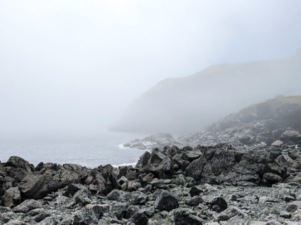
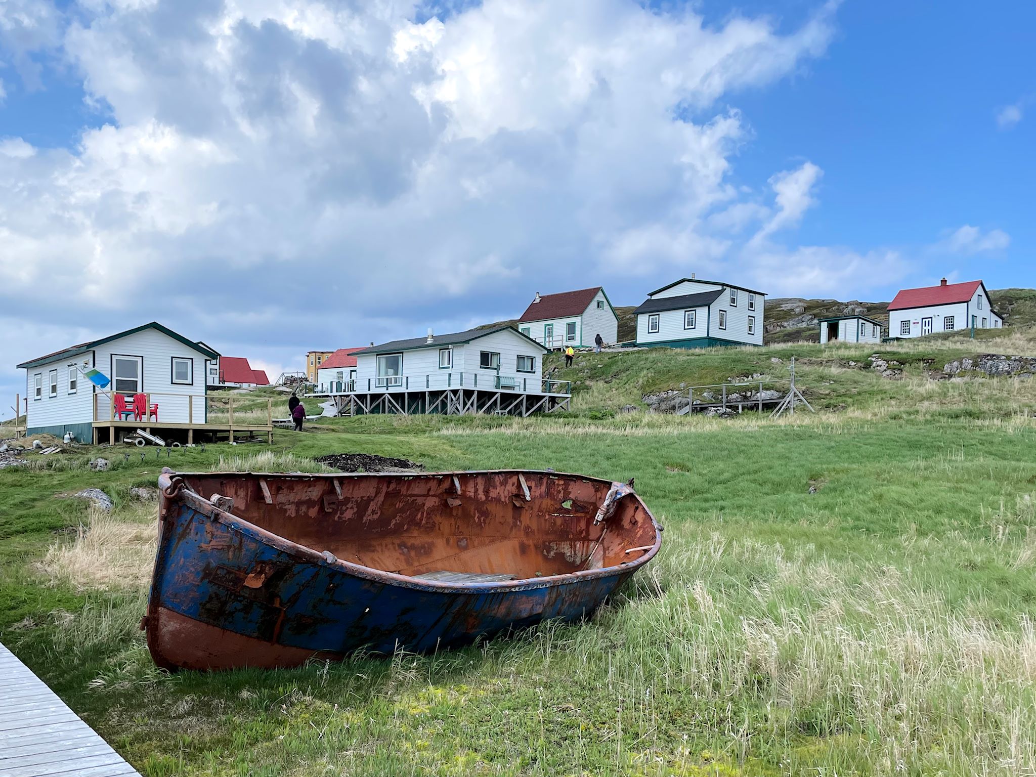
The ferry dropped us off in St Barbe, about two thirds of the way up Newfoundland’s Great Northern Peninsula. It was late in the day and we decided to camp in nearby Flower’s Cove and head north in the morning.
The road to connect the settlements and resources of western and coastal Labrador – the Trans-Labrador Highway – had been in the works since the early 80’s. Dirt roads and walking trails between settlements were widened into gravel roads in sections, then paved as demand and budgets allowed. The last remaining section of gravel was paved in July, 2022 – and the road was complete!
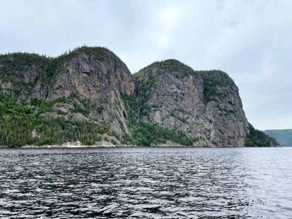
Saguenay Fjord National Park spans both sides of the Saguenay River, providing educational programs and access to the famed escarpments and coves while protecting and managing the natural beauty of the area. At 100 km/60 miles in length, Saguenay Fjord is one of the largest fjords in the world. Its width ranges between 2 and 4 km/1.2 and 2.5 miles. The deepest point is 270 m/890 feet while the escarpments rise over 300 m/1,100 ft above the Saguenay River. The tallest of these at 411 m/1,348 feet is Cap Trinité/Trinity Cap, with its 3-plateau rock wall, at the edge of Baie Éternité/Eternity Bay.
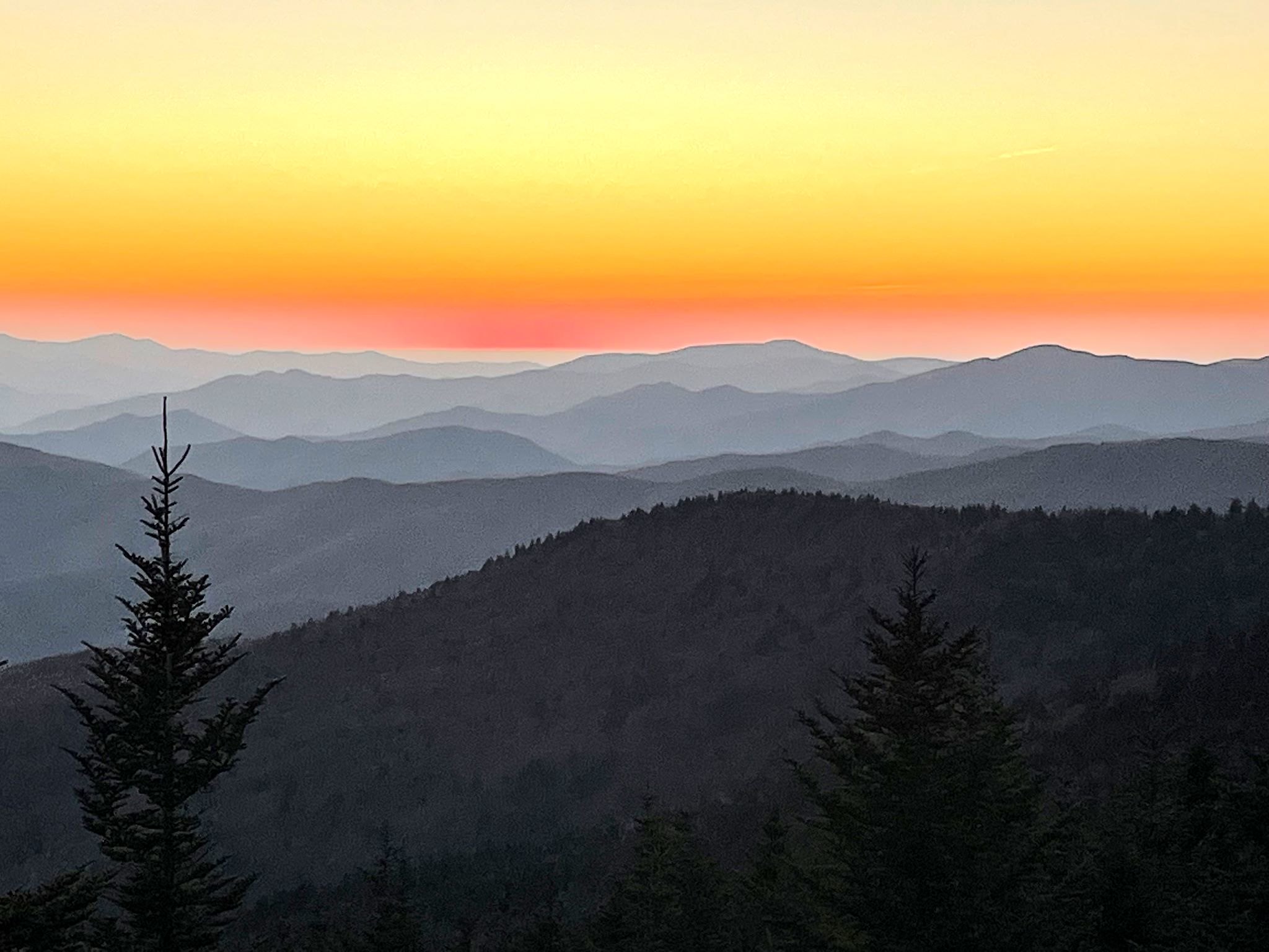
Twilight over the Tennessee side of Great Smoky Mountains
Asked which is the most visited National Park in the country, most people would think it must be Yellowstone or Yosemite or some of the other large parks in the west. Nope! Great Smoky Mountains National Park takes the top spot. Its location – within a day’s drive of half the US population – and its incredible beauty attracted 14 million people in 2021. (Zion with 5 million and Yellowstone with 4.9 rounded out the top 3.)
GSMNP is a wide area in the Appalachian Mountains that spans the North Carolina and Tennessee border with a seemingly endless series of forested mountain ridges. The natural vegetation in the area releases organic compounds with a bluish tint that mix with the natural morning fog to create a blue-tinged, smoky appearance – hence the name. The park is well known for its views and waterfalls, its elk herd, and its hiking. Hiking!
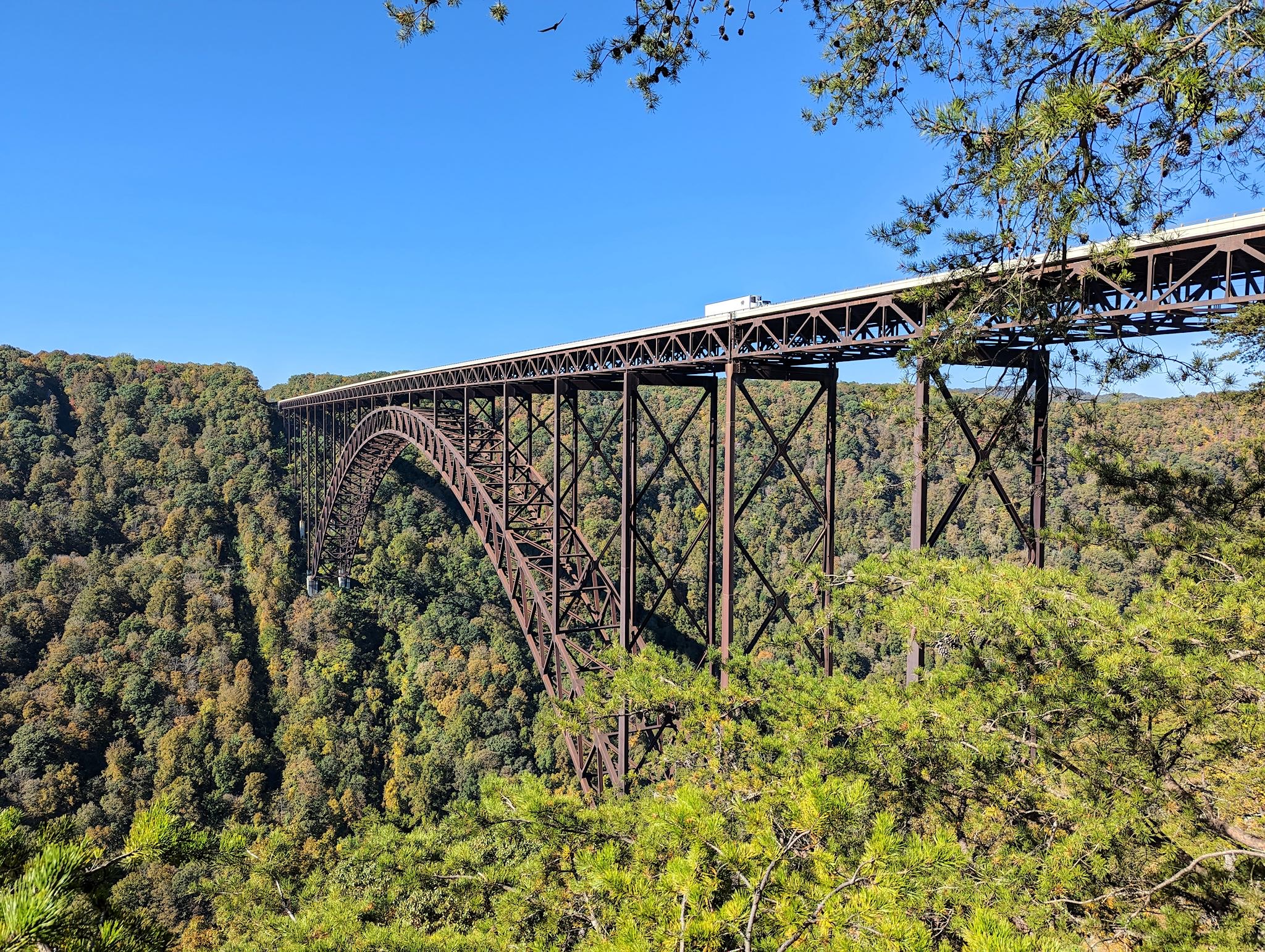
When we first decided to travel about in an RV back in 2015, the first thing we did was create a master electronic map where we’d put e-push pins everywhere we wanted to visit. It’s likely no surprise that among the first pins to make it to the map were the National Parks in the US and Canada. About a year ago, I read a NY Times article about the New River Gorge National Park in West Virginia. Hmmm… this isn’t on our map. How’d that happen? It turns out that although the New River has been a protected river (no dams/development) since 1978, it was re-designated as a National Park in 2020. We added a push pin.
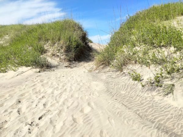
We’d never been to the Outer Banks. What are these things? What’s out there? They are a chain of long, thin islands shielding the coast of North Carolina, although they’re not normal islands. They’re more like sand dunes, evolving by the minute from the wind, tides and waves, and slowly shifting the Outer Banks south and west over time. They’re long, over 100 miles (the inlets between the islands close up and form anew in different places with time and the storms), and quite narrow, from a few hundred feet to 3 miles wide, and they are low, with an average elevation of 12 feet above sea level.
Well it’s been about a week and a half since I dropped Sue off at the airport in Salt Lake City. Unfortunately, there is much to keep her busy down in Florida and it doesn’t look like she’ll be able to rejoin me on the road. The upshot is that I’m gaining a fuller appreciation for the things she takes care of while we’re traveling, which include route planning and navigation as well as all or most of the food planning and preparation, among many other things. The astute reader may well ask, “Wait, then what’s left for you to do?”, to which I simply walk away in a huff.
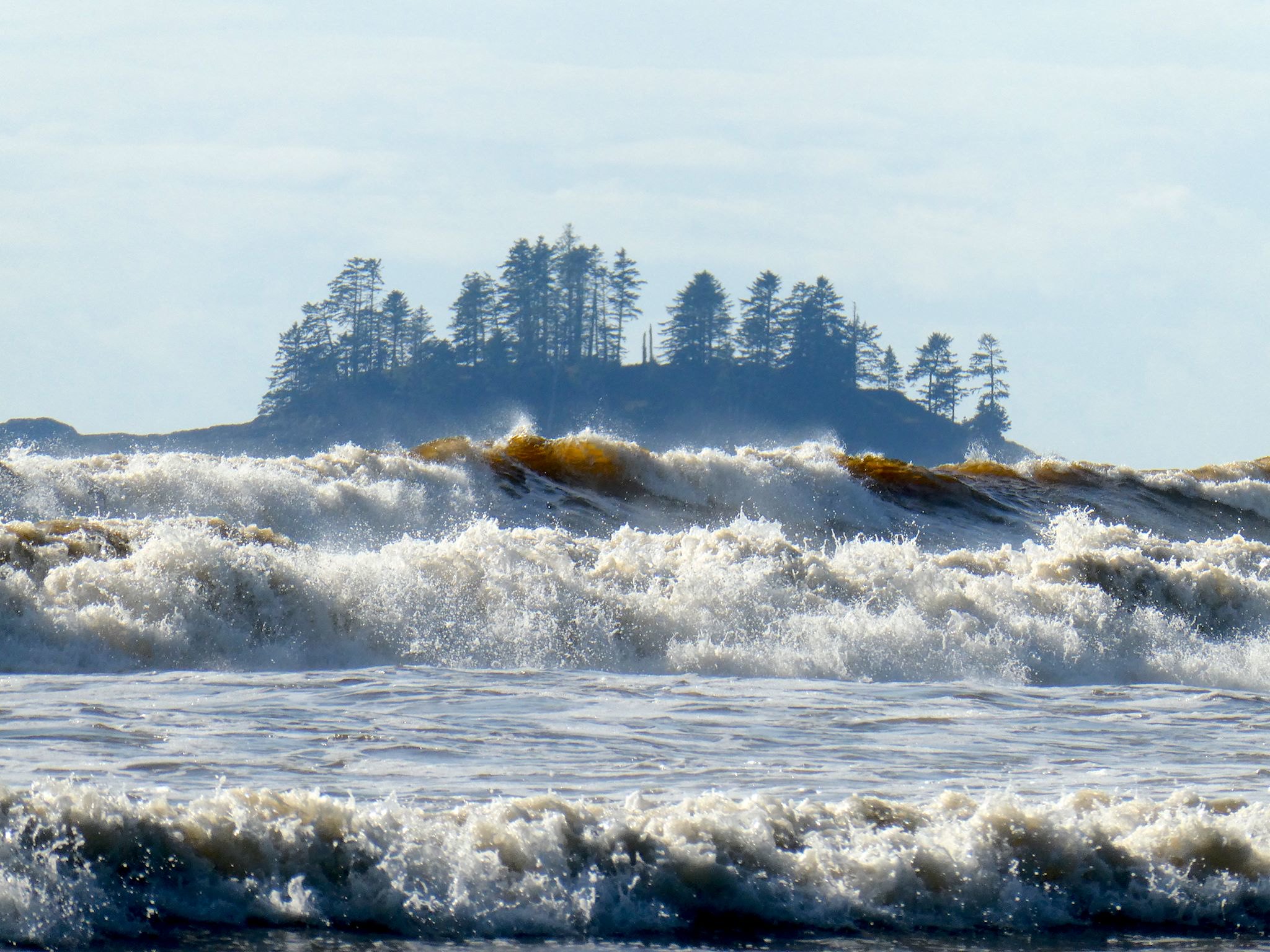
Vancouver Island is about 1.5 times the size of Vermont in both area and population, with a comparable amount of geographic diversity. Remembering that we’ve chuckled about travelers planning to visit Vermont in 2 days (‘It’s so small!’), we allotted 10 days to explore Vancouver Island and found it wasn’t quite enough – there’s so much there!
The coasts, the ferries, the forests, the farms, orchards and vineyards… The small towns, the city of Victoria… The hiking, kayaking, biking, surfing… (Surfing?) The rainforest with giant cedars, Douglas firs, ferns and moss, the palm trees… (Palm trees?) Here’s more on the lower part of the island…
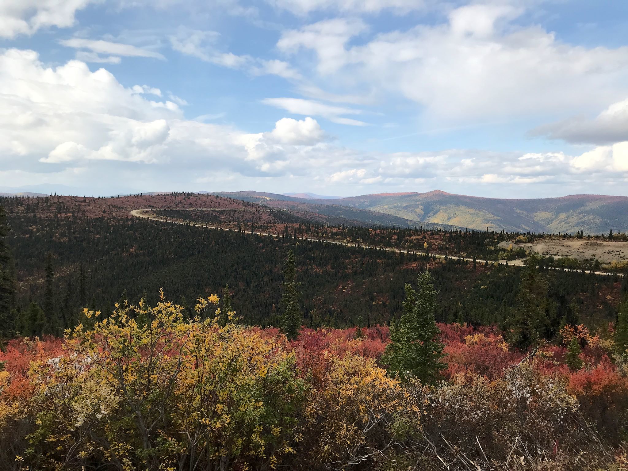
If you are driving into or out of interior Alaska, you have go through the town of Tok. Ah, but there are two roads that head east from Tok. We came in on one of them, the Alaska Highway. We had the option of driving out on a road called the Top of the World Highway.
Seward is a small, picturesque city on Resurrection Bay at the base of Marathon Mountain at yet another Alaskan road’s end. It’s totally surrounded by tall, steep mountains wearing a shawl of glaciers that make up Kenai Fjords National Park. Seward is predominantly a commercial fishing town, also a destination and embarkation point for tourists in the summer. It’s the northern terminus of many cruise ship lines as well as the southern terminus (aka Mile 0) of the Seward Highway to Anchorage, the Alaska Railroad to Fairbanks, and the original Iditarod dog sled trail to Nome. Heavily damaged by the 1964 earthquake, the rail yards and fish processing plants directly on the bay were not rebuilt where they’d stood; the land was instead converted to parks with hundreds of campsites, enabling travelers to soak in the views and get to the mountains.