
If you are driving into or out of interior Alaska, you have go through the town of Tok. Ah, but there are two roads that head east from Tok. We came in on one of them, the Alaska Highway. We had the option of driving out on a road called the Top of the World Highway.
Any questions?
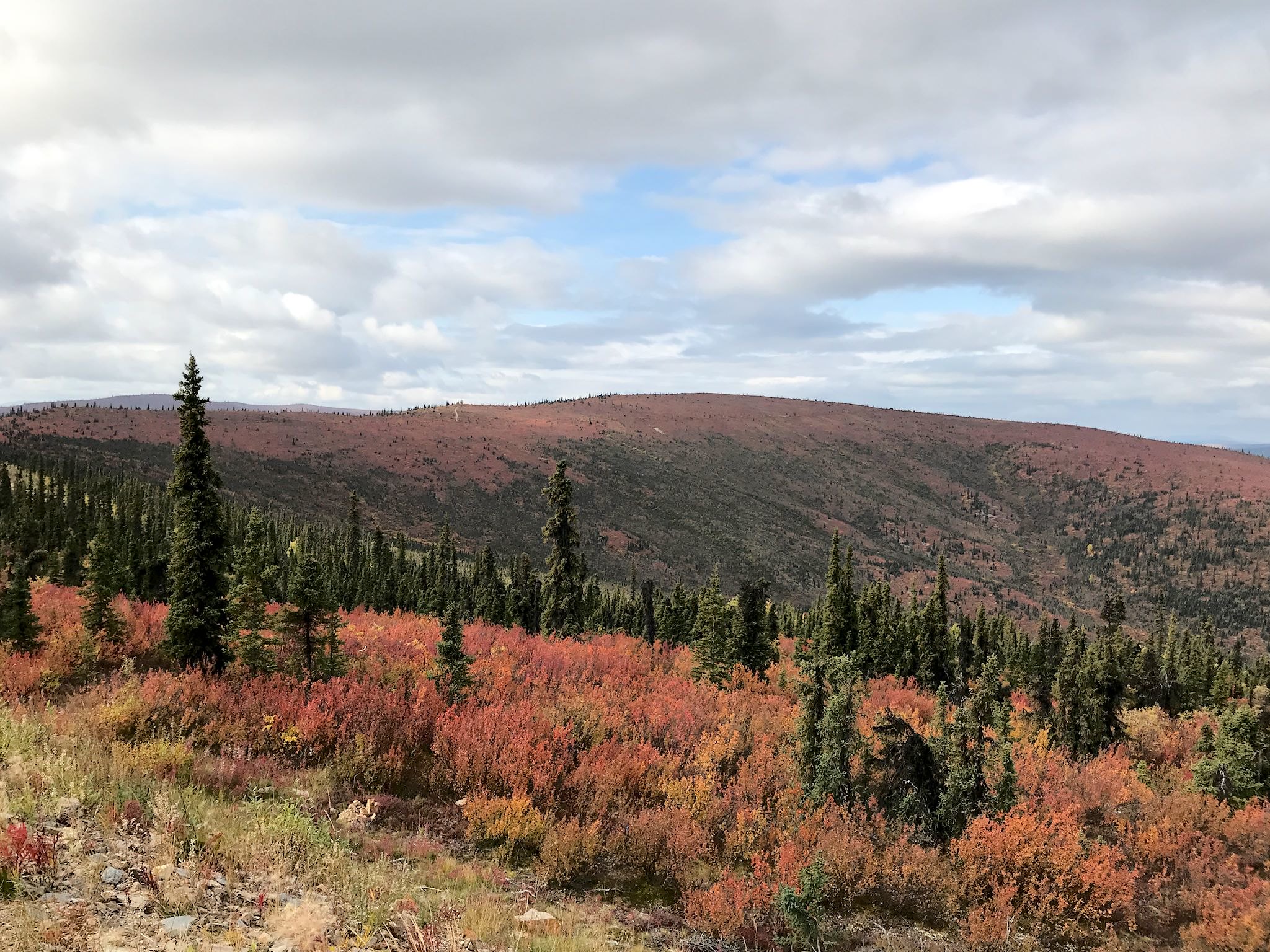

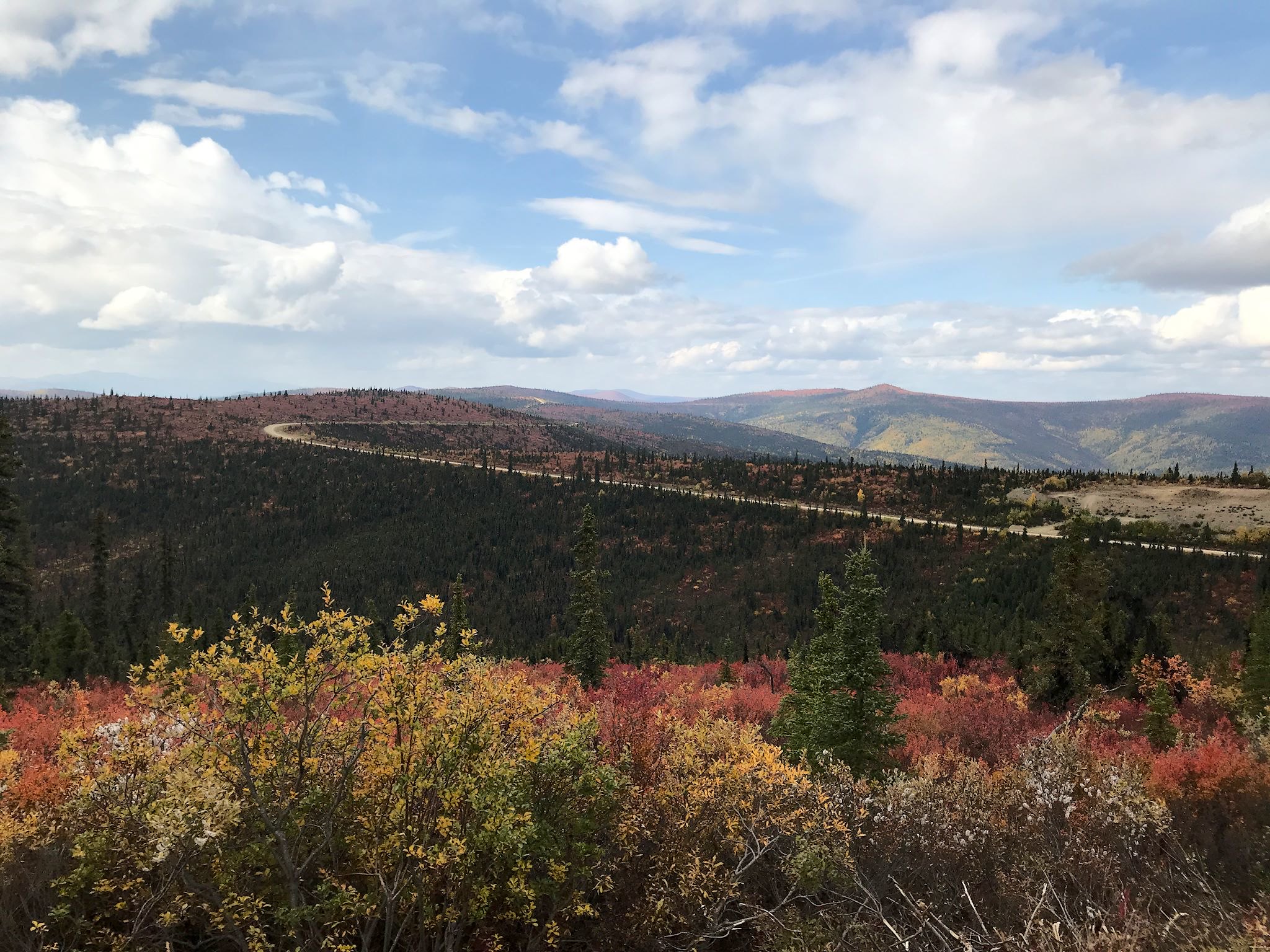
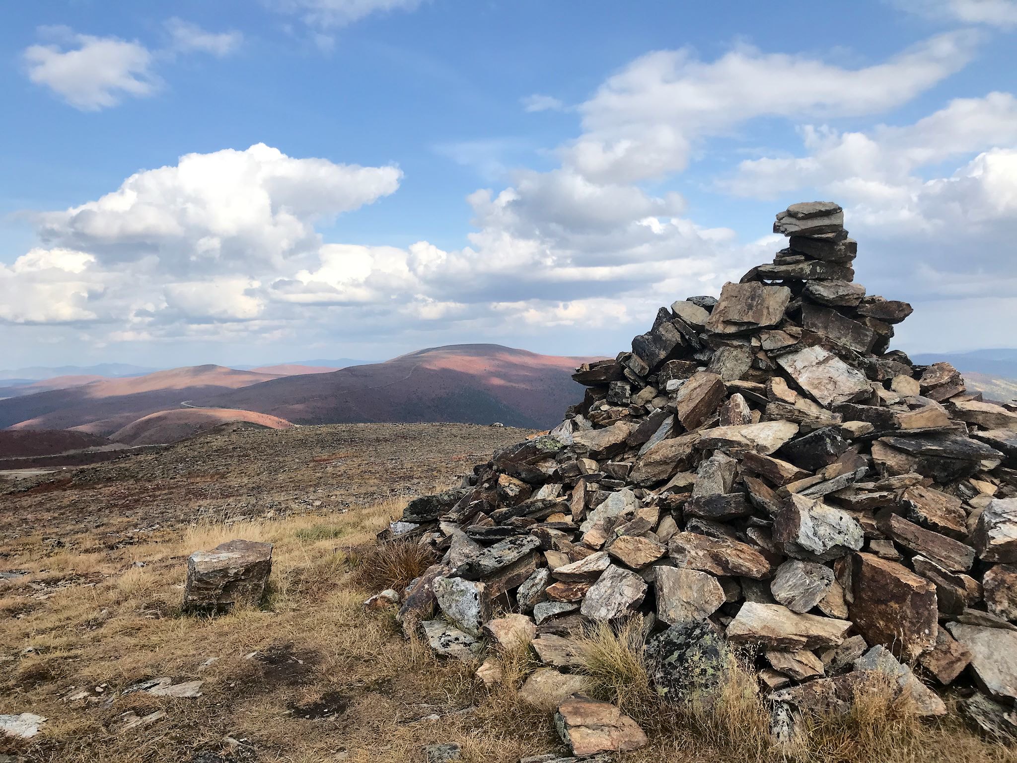
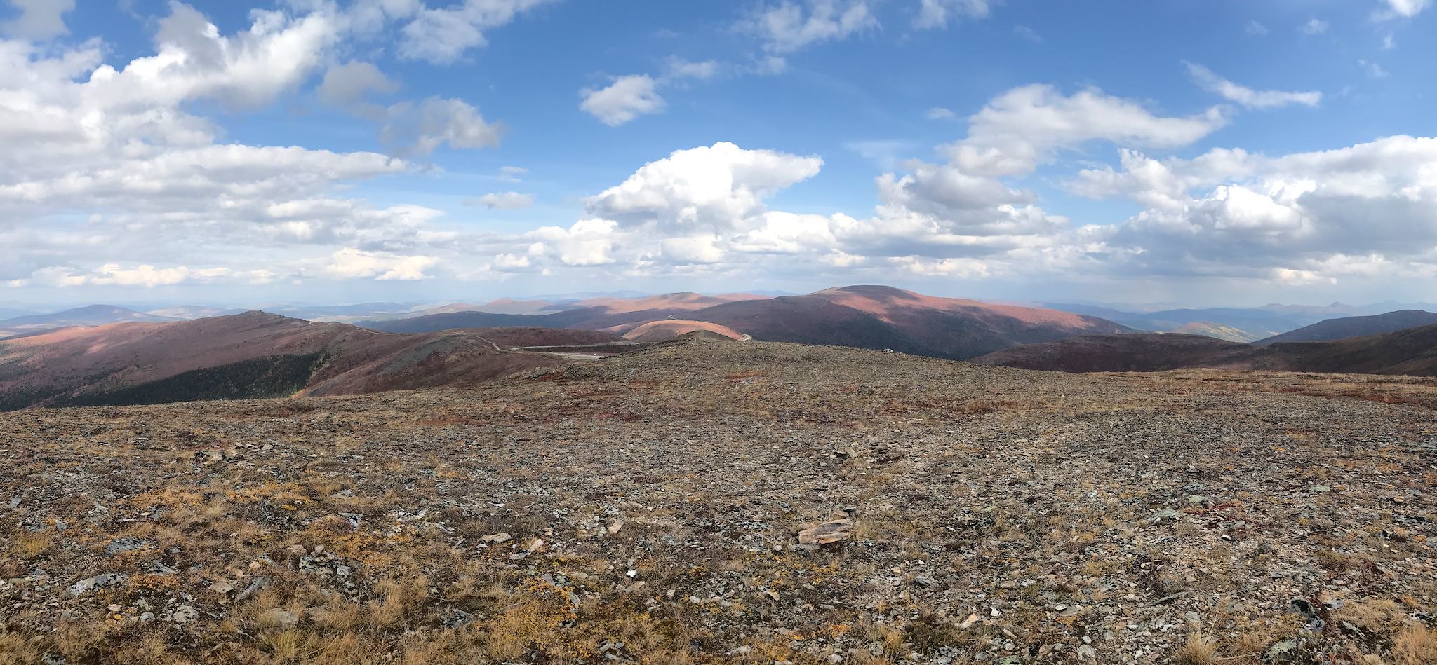
Getting there starts with a drive on the Taylor Highway, surprisingly different from any part of Alaska we’ve visited. The landscape is open taiga with big rolling hills covered with a mix of tundra, brush and areas of boreal forest tinged pink, red and yellow with fall foliage at this time of year (late August). Big chunks of the forest show charred trees and new shrub growth – telltale signs of the massive 2004 wildfire. The long views of unbroken wilderness with occasional glimpses of the remote Fortymile River add to the feeling of vastness, not unlike the Northwest Territories only with more ups and downs.
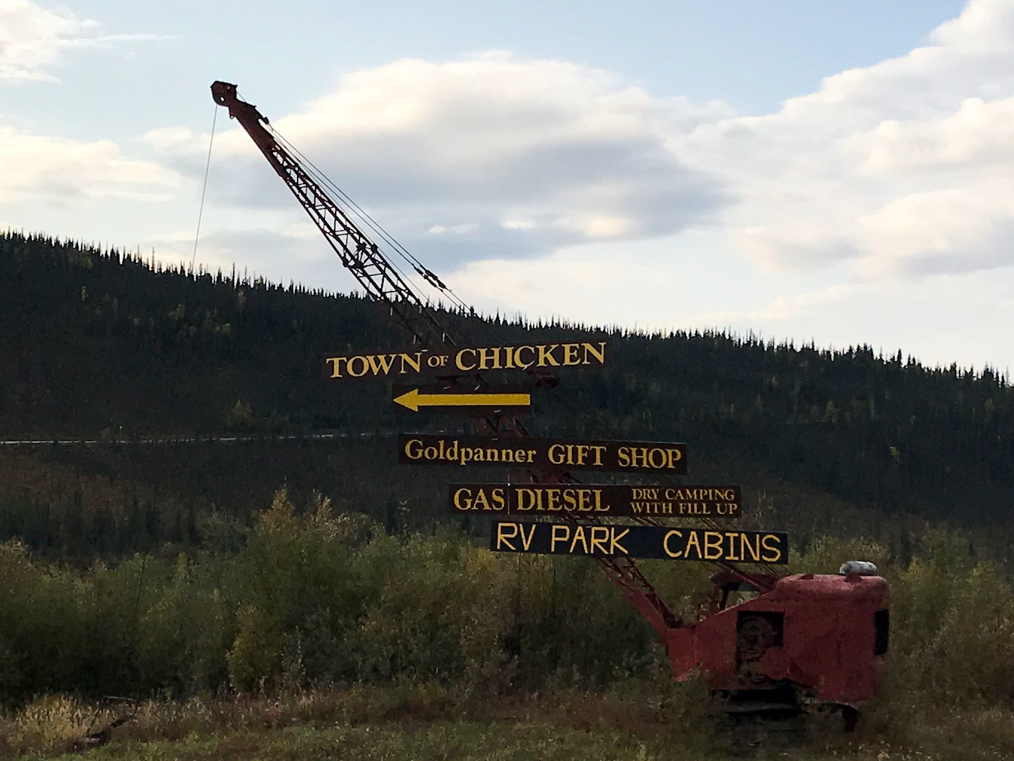


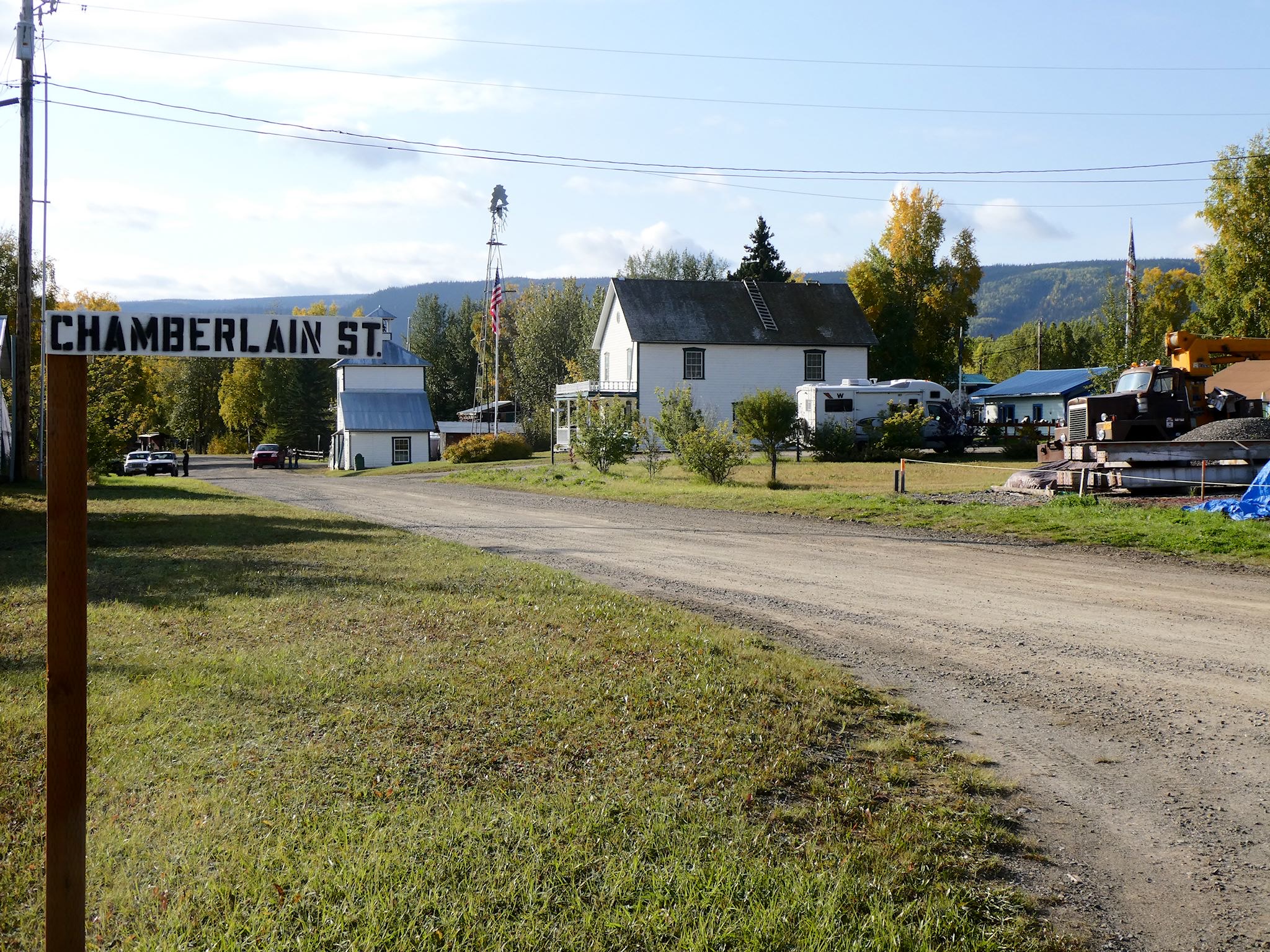
First there are some odd signs, then a few rooflines, then a quick drop into a tiny valley on the Chicken Creek, and you’re in Chicken, AK. According to proprietor of the coffee shop, the population of Chicken is 3 year-round, 12 in the summer, plus 60 or so who live and mine for gold off in the hills and use the Chicken Post Office, the only place to get mail for a hundred miles (and they may also use the Chicken Creek Saloon, the only bar for a hundred miles) so they nominally have addresses in Chicken.
Chicken is a pretty funny place. One of the earliest gold mining towns in Alaska, its earliest residents wanted to name the town Ptarmigan, after the bird that is so popular in these parts, but none of them knew how to spell that, so they named it Chicken.
There are three commercial establishments in Chicken. Each is a combo café-gift-shop-filling-station-campground (and one of the three has a bar). Of course, there is also the post office that’s open two days a week, and there are, in addition, at least 4,000 chicken-themed, chicken-shaped, or chicken-related items, sculptures and signs scattered throughout the area.

Now here is the strangest part about our visit to Chicken… We ran into Nick! It was a cosmic time and space event. He and a friend were out on a caribou hunting trip and made a quick stop in Chicken for fuel – just as we were walking to the cafe for an early dinner at the same establishment. Shrieks! OMG! What are you doing here?! Hugs! The quick stop turned into a shared dinner during which we got to update Nick on our adventures visiting/hiking the places on his recommended list and repay the favor with a handful of recommendations for him of places we’d found.

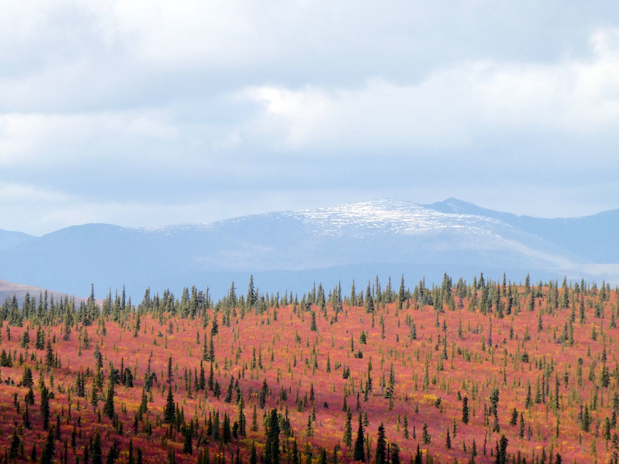
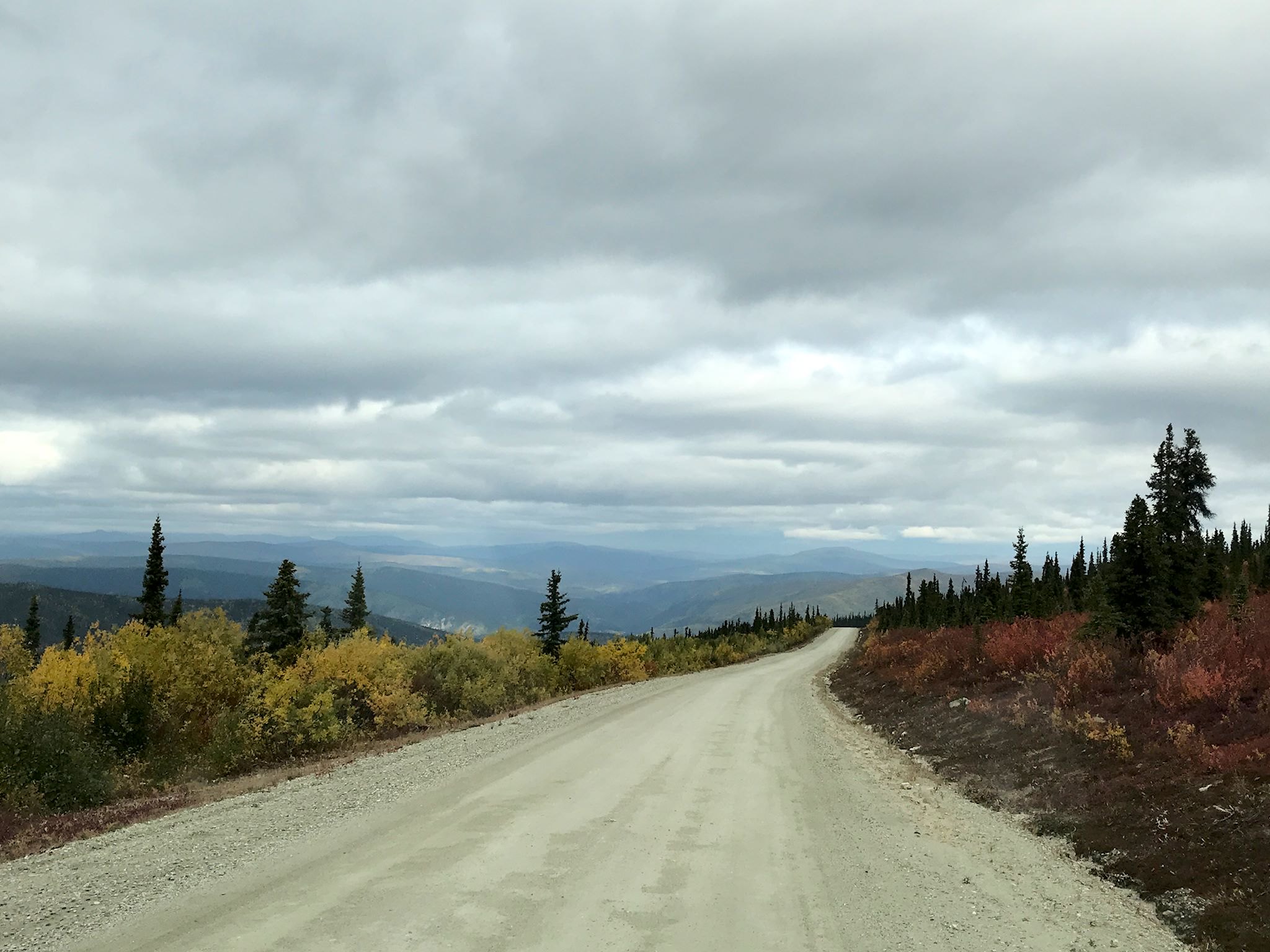
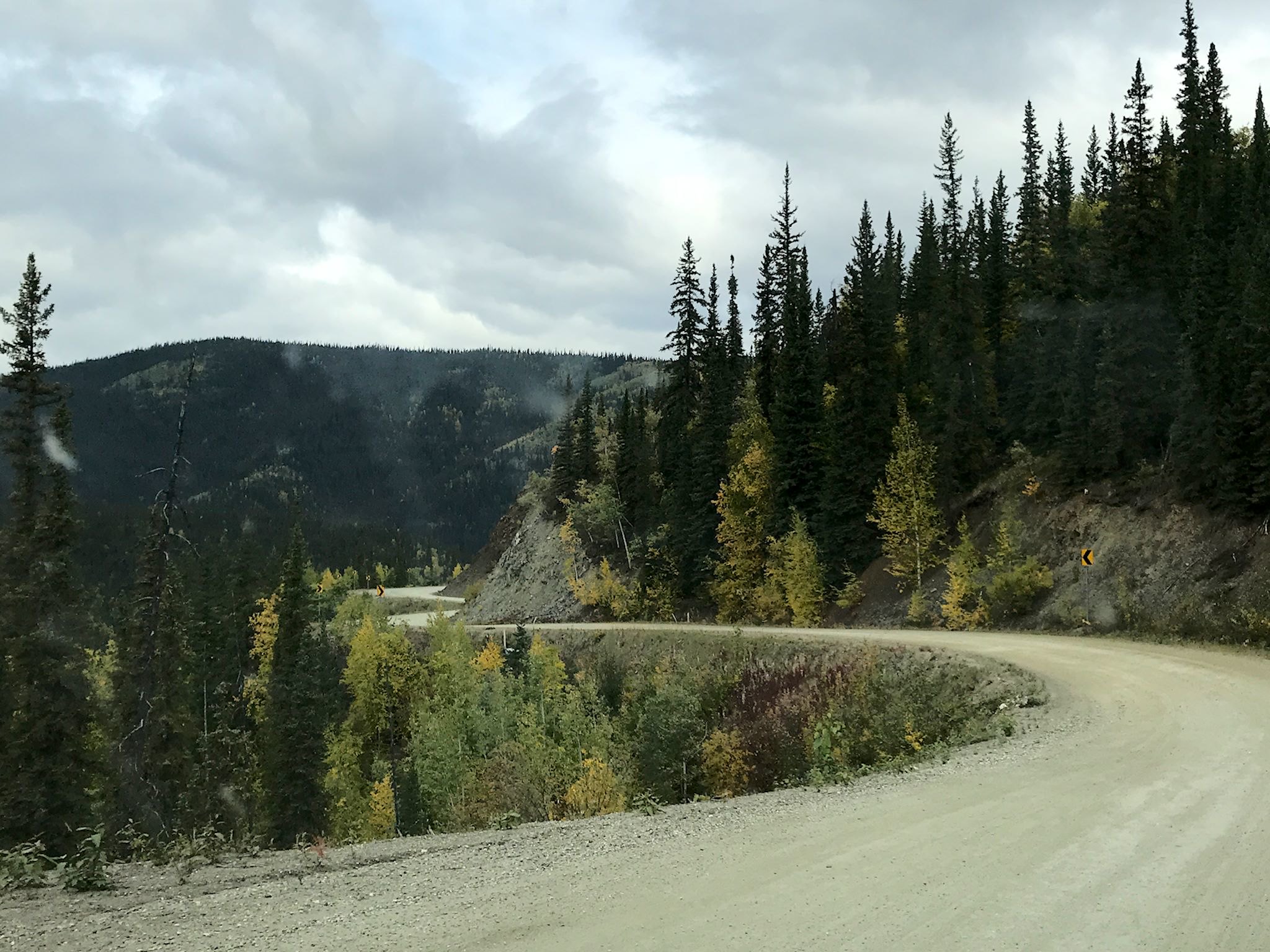
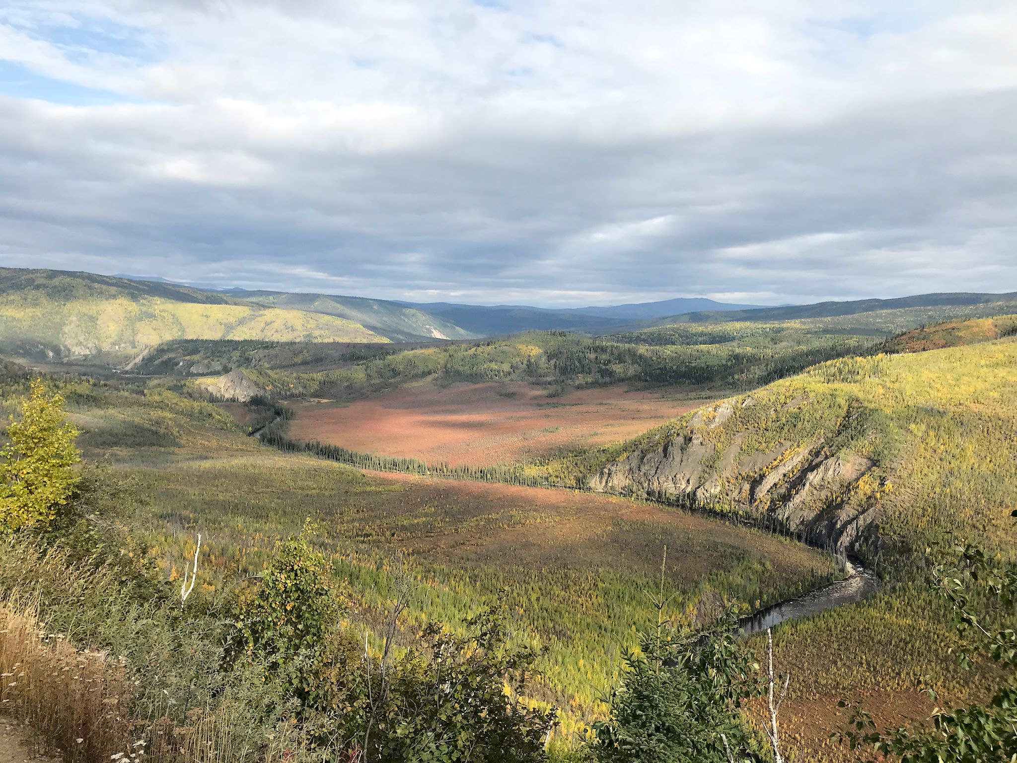
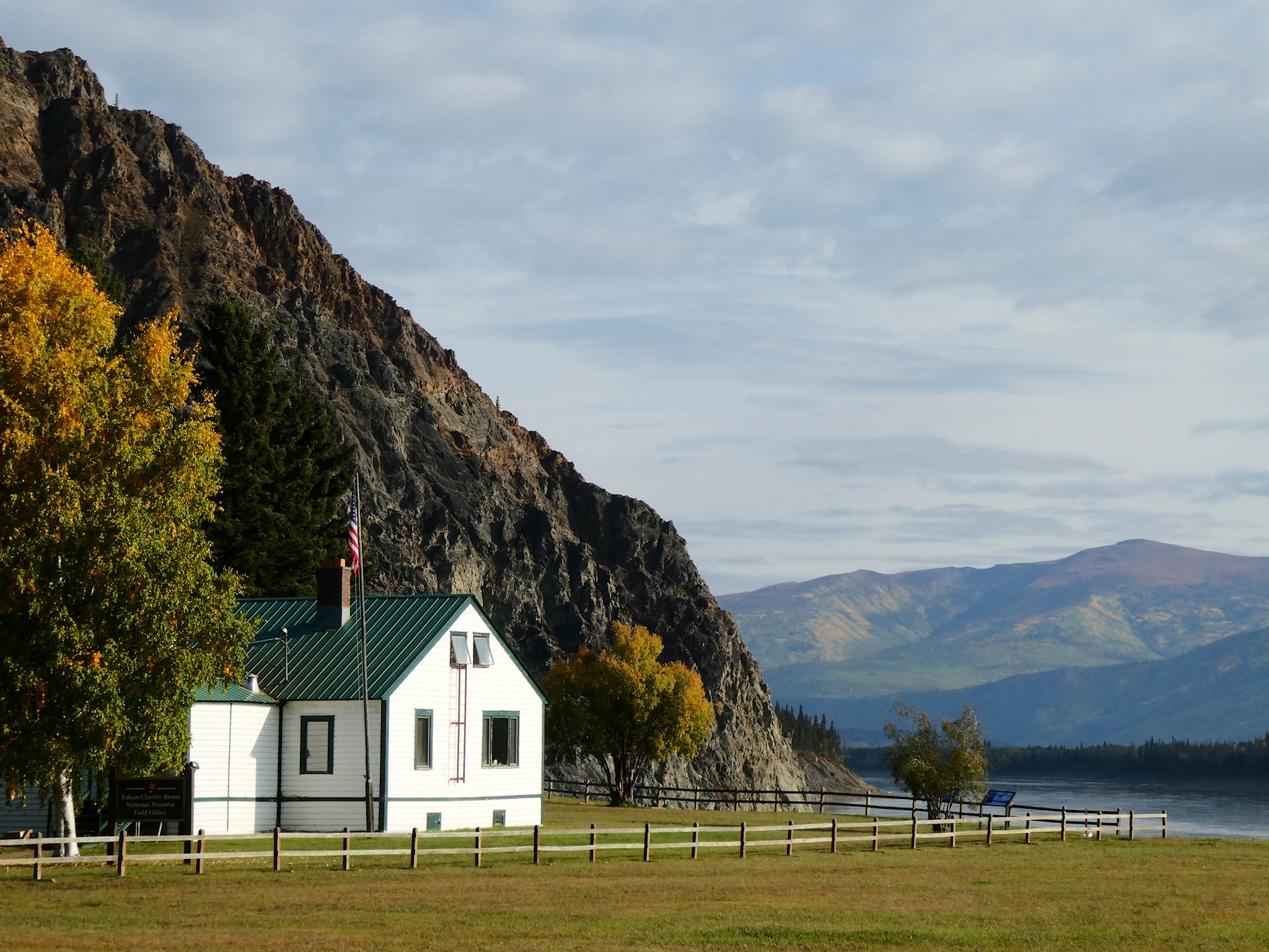
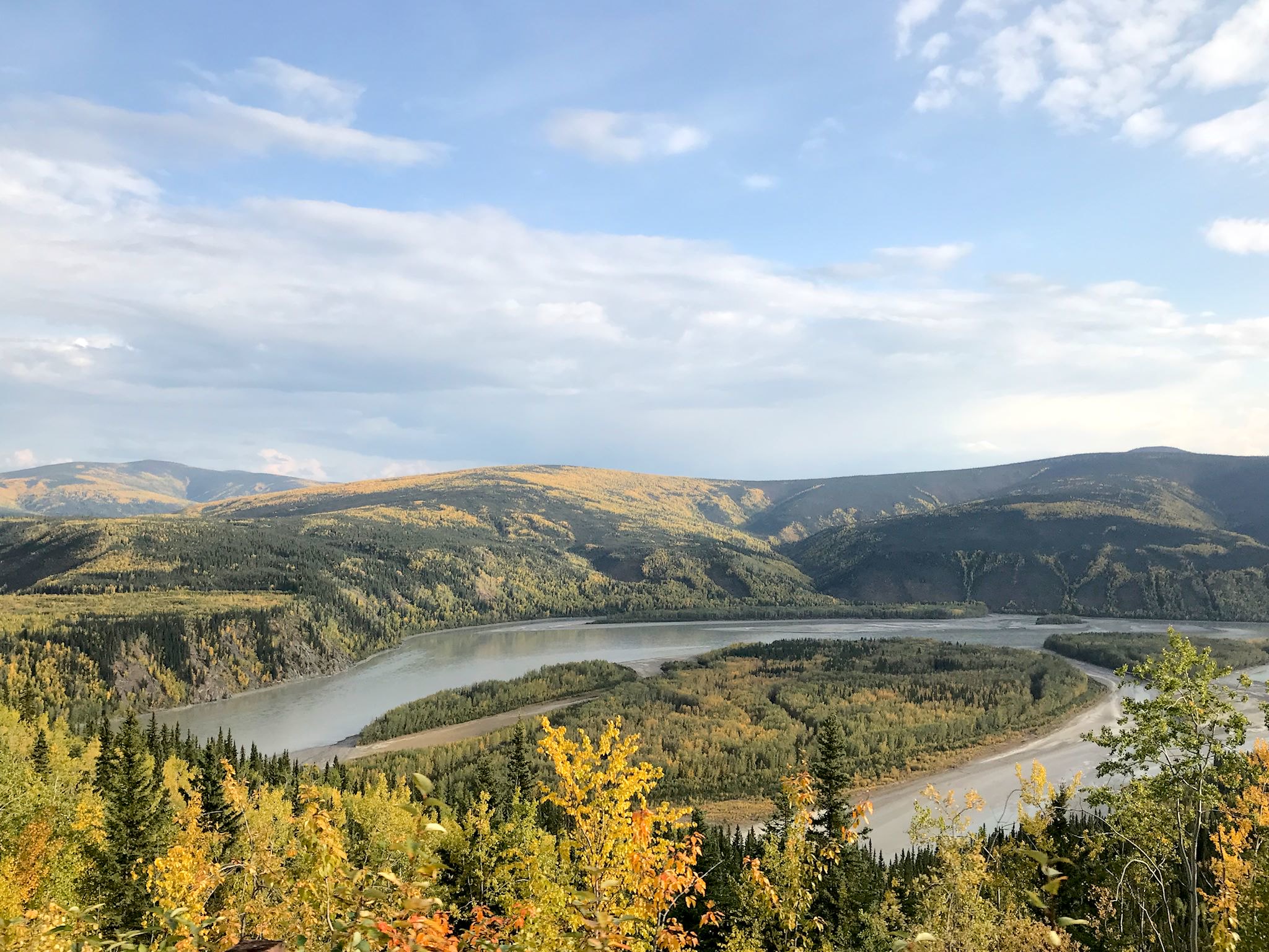
Beyond Chicken, the Taylor Highway is unpaved and the big, rolling hills turn into big, rounded mountains where long views again showed colorful ridge after ridge after ridge. In places we could see a ribbon of road along ridgelines for miles with occasional glimpses of the Fortymile River and its many tributaries deep down in the valley below. The road does a long descent to the Fortymile River before ascending yet another set of ridges, descending finally into Eagle, AK where it ends on the banks of the Yukon River and at the foot of Eagle Ridge.
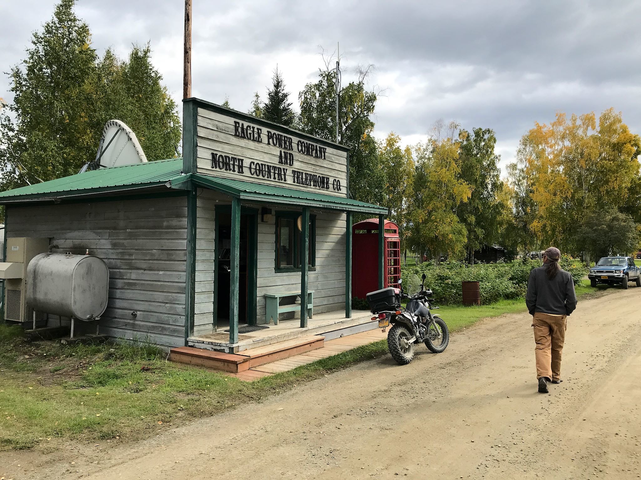
Eagle (pop 80 within the city limits, or 120 including those who live in the hills and along the river and use the Eagle Post Office) is another Alaskan end-of-the-road town. It is a delightful place with a palpable sense of community among self-reliant individuals who enjoy the simple lifestyle and isolation of this beautiful, remote place. The rugged road closes from October through May, further isolating the community. Groceries? Shopping? Two people we asked had the same response: Amazon Prime! Delivery is via the daily (almost, not when it snows) mail plane from Tok.
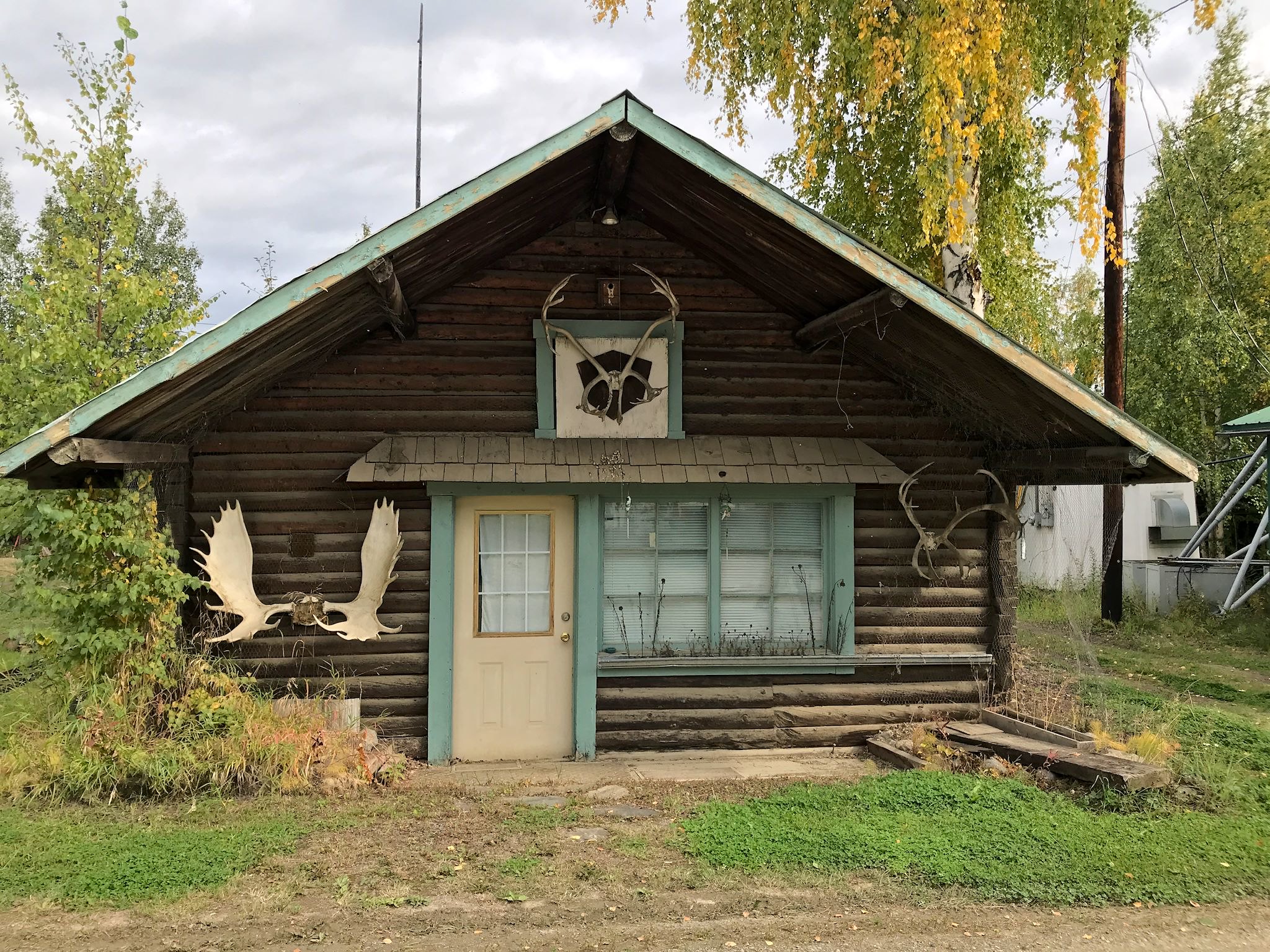
Proud of Eagle’s mining heritage and impressive history, the Eagle Historical Society provides daily tours of the town and Fort Egbert (a gold-rush era US Army base), cooperatively with the National Park Service. The site of some of the earliest mining claims in Alaska during the Klondike gold rush (late 1880’s), Eagle’s population grew to over 1,500 and in 1901 it became the first incorporated city in interior Alaska. Before long, however, larger goldmines elsewhere lured miners toward bigger and better dreams of striking it rich and the town’s population rapidly declined. Gold mine ruins dot the creeks all along the Yukon River. The miners left so quickly, it’s as if they turned off their mining equipment one day and walked away. Much of the early mining equipment is intact and efforts are in place to preserve this piece of Alaskan history.
Retracing our path 65 miles back down the Taylor Highway, we turned east onto the Top of the World Highway. A few miles down the road, we arrived at the Poker Creek /Little Gold Creek Border Crossing – the northernmost border crossing in North America and one of the very few where the two border countries share a single building. And with that, our fabulous Alaskan explorations are complete. Welcome to the Yukon!

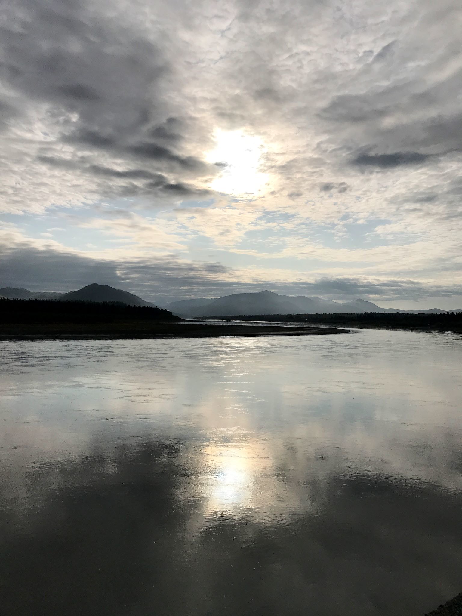
The Top of the World Highway is a perfect name for this road that hugs the ridge above the treeline. Fortunately, the unpaved road with a max speed of 65 kph (40 mph) forced us to travel at a pace to soak in the view – more vast wilderness – screaming with bright fall foliage. The cloudy skies with a million shades of grey and silver with occasional slivers of blue sky and sun and random rainbows enhanced the views and foliage to our eyes, and unfortunately made photos dark and less colorful. We ask you to use your imagination, and we’ll have to use our memories to recall our moments along the Top of the World.
For anyone who’s interested, more Taylor Highway, Chicken, Nick rendezvous, Eagle and Top of the World Highway pix…
Ok Sue you asked, “Any questions?”. Your providential path-crossing with Nick was cool! I felt your excitement! Wow! Then I thought “oh yeah I remember him, but from when?”
I had to go back to early June to remember who “Nick” is.
Aha! Your friend “Nick from Fairbanks” per your Denali National Park blog
and then “Lloyd and Suzanne (Nick’s parents)” from later in the same June 15th blog.
And then of course your Fairbanks blog one June 24th explains the relationship. Fun. Thanks!
Wow, that’s some serious sleuthing! Glad you had fun with the quest. Yes, we forgot to link Nick back to Fairbanks – it’s fixed now, thanks for the heads-up!
Great to run into you in Chicken! Finally getting around to catch up on some of your post from the last month or so!
Thanks Nick! So fun to see you. Still can’t believe it…