The Road to the Isles

Sunset over Back Cove, Fogo

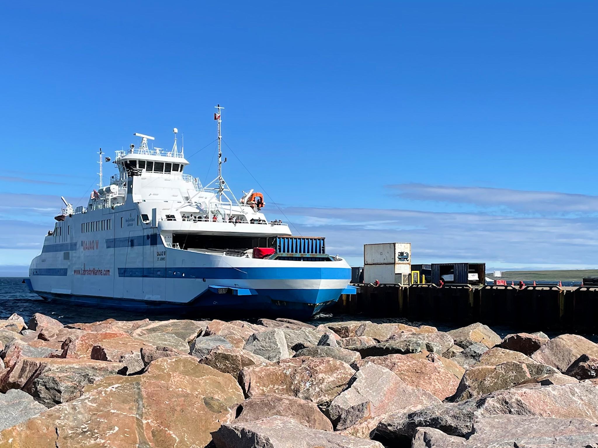
Newfoundland and Labrador covers a pretty large area. If the province were a state in the US it would be the 4th largest, after Alaska, California and Texas based on landmass. (Based on population, it would be the 2nd smallest, right in between Vermont and Wyoming…). Similar to Alaska, it’s a big space up north with very few roads. What that means is that people touring Newfoundland in RVs often find themselves moving around in cohorts based on which of the 3 ferries they took and when they arrived, and we just keep running into each other over and over again.

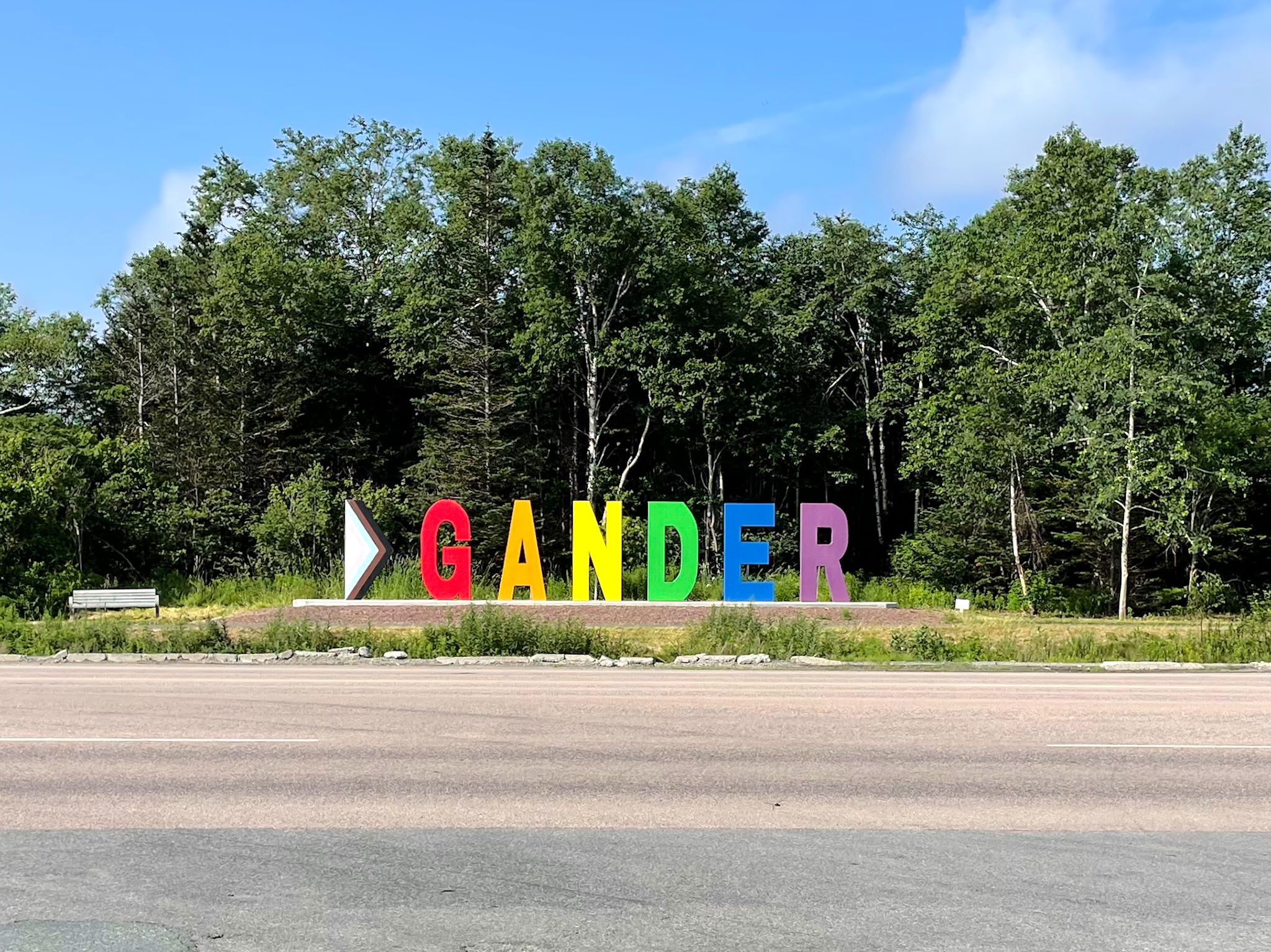
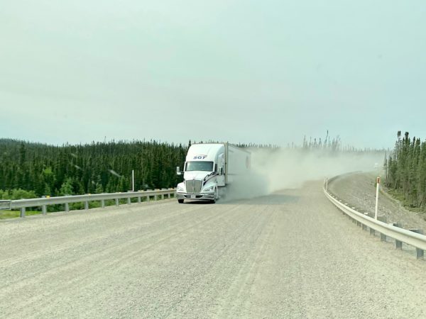
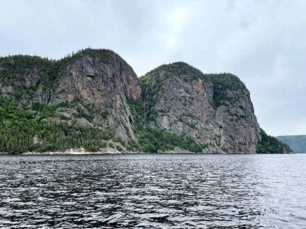
As we chatted with people in our northwest Newfoundland cohort (because that’s where we arrived on July 7), they all mentioned plans to visit Fogo Island and Twillingate. Those 2 places were on our list, as well. As we crossed paths and chatted with travelers in other cohorts, heading in the reverse direction, they all said you’ve got to see Fogo Island and Twillingate. Newfoundland and Labrador Route 340, known as the Road to the Isles, heads north from Gander – and so did we.

Continue reading “The Road to the Isles”

Gander

Well rested and with the truck’s vents blowing cool and conditioned air, we moved an hour on up the road to Gander. Located on a ‘Great Circle’ route between North America and Europe, Gander was built to be an airport town for refueling trans-Atlantic flights, and for a time was the largest and busiest airport in the world. It has lately become well known for its townwide hospitality when planes were unexpectedly grounded there on September 11, 2001. On that day, North American airspace was closed and all planes were required to land. Within a few hours, 38 planes landed in this town of (then) 9,300, unloading 7,000 unexpected guest from 95 different countries for an unknown duration. It ended up being 5 days. Among locals, the stayover is now known as ‘9/12,’ and the guests are called ‘Come From Away’s (CFAs). We were interested to see this historic town. Maybe we’d have a chance to talk to some of the kind people and thank them for their generosity.

Continue reading “Gander”

Grand Falls-Windsor and Bishop’s Falls

Atlantic salmon

We headed inland from the west coast, driving along big rolling hills, almost always with a lake or river beside the road. The sign said ‘Welcome to Grand Falls-Windsor – Perfectly Centered!’ That’s a fact. GFW is in the center of Newfoundland, and it’s the largest town in the interior. It’s also away from the natural breezes that keep things cool along the coast – a feature which, during the rare heat wave that’s been afflicting Newfoundland, made for a hot town!

Continue reading “Grand Falls-Windsor and Bishop’s Falls”

Gros Morne National Park

Gros Morne Mountain

National parks in Canada are established to manage wild and natural spaces, and balance access for visitors to appreciate and enjoy while protecting and conserving their unique ecological offerings. We’ve come to especially appreciate them as beautiful places to learn more about nature and indulge in one of our favorite activities – hiking. Gros Morne checks all the boxes and more. Much more. Its global geological significance is mind blowing.

Continue reading “Gros Morne National Park”

Blanc-Sablon, QC

The Qajaq W

We are not keen on reservations, as a general rule. Reservations force us to arrive somewhere at a certain day or time – what if we find something interesting along the way there!?! So, even though we didn’t make reservations on the ferry making the crossing from Blanc-Sablon, QC (2 km/1.2 miles from the Labrador border) to St Barbe, Newfoundland, finding that there was no room for another RV on the day we arrived planning to cross was not a cause for distress. To the contrary, yay! We have an extra day to explore this tiny corner of Quebec.

Continue reading “Blanc-Sablon, QC”

Labrador 510 – Trans-Labrador Highway, part 2

Battle Harbour

The road to connect the settlements and resources of western and coastal Labrador – the Trans-Labrador Highway – had been in the works since the early 80’s. Dirt roads and walking trails between settlements were widened into gravel roads in sections, then paved as demand and budgets allowed. The last remaining section of gravel was paved in July, 2022 – and the road was complete!

Continue reading “Labrador 510 – Trans-Labrador Highway, part 2”

Labrador 500 – Trans-Labrador Highway, part 1

Grand Lake from Sunday Hill, North West River, NL

The history of Newfoundland and Labrador is long and colorful. Here’s the super condensed version…. The earliest known inhabitants were Inuit (hunters of sub-arctic sea mammals, like whales), Innu (caribou hunters) and Mi’kmaq (seafood harvesters in the summer and forest hunters in the winter). The earliest European settlers are thought to have been Vikings, just after 1000 AD. Starting in the early 15oo’s, explorers from France, Spain, Portugal, Ireland, and England began to visit. Eventually, these folks came to be in conflict with each other and the original inhabitants in their efforts to claim portions of the newly found land in order to control resources. Perhaps the most immediately obvious of these resources was an insane abundance of great fishing. Over the centuries since, additional resources of interest have been identified all over this vast area and have included furs, forests, minerals (iron ore), and hydropower.

Continue reading “Labrador 500 – Trans-Labrador Highway, part 1”

Quebec 389

Quebec 389 is described as dangerous by public safety organizations, beautiful by tourism publications, and remote by both. It is unquestionably remote, winding its way through the boreal forest 547 km/340 miles from Baie Comeau on the St Lawrence River, past a series of ‘Manic’ dams owned by Hydro-Quebec (Manic-1 through Manic-5, all named after Lake Manicoualan which they hold back) and multiple open pit mines on the way to Fermont (French for Iron Mountain). There are 2 tiny settlements and 3 fuel stations along the way. There’s cell coverage at the fuel stations. For safety, there are 10 good, old-fashioned telephone booths spread out along the road (more than remain in the entire state of Vermont) for anyone who’s stranded. It’s the only road north from the Côte Nord/North Coast of Quebec and, once connected to the Trans-Labrador Highway, allowed for overland passage to the coast of Labrador. But that’s getting ahead of ourselves.

Continue reading “Quebec 389”

Saguenay Fjord National Park

Cap Trinité

Saguenay Fjord National Park spans both sides of the Saguenay River, providing educational programs and access to the famed escarpments and coves while protecting and managing the natural beauty of the area. At 100 km/60 miles in length, Saguenay Fjord is one of the largest fjords in the world. Its width ranges between 2 and 4 km/1.2 and 2.5 miles. The deepest point is 270 m/890 feet while the escarpments rise over 300 m/1,100 ft above the Saguenay River. The tallest of these at 411 m/1,348 feet is Cap Trinité/Trinity Cap, with its 3-plateau rock wall, at the edge of Baie Éternité/Eternity Bay.

Continue reading “Saguenay Fjord National Park”