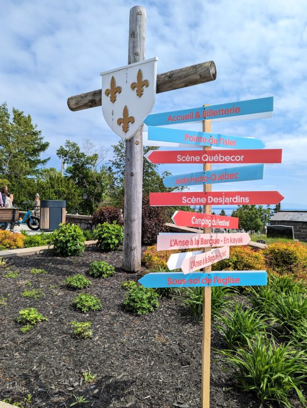
Tadoussac was the site of the first Canadian trading post along the St Lawrence in 1599. Its location where the Saguenay River and fjord meets the St Lawrence River made it an ideal trading site between the European and indigenous people of the region. The location is also beautiful! Current-day Tadoussac, home to fewer than 1000 people along with scores of whales, has become a popular destination for tourists (many in search of a glimpse of said whales) and second homeowners from the more southern parts of Quebec. It was also the site of the 37th annual, 4-day Festival de la chanson de Tadoussac (Tadoussac Song Festival).
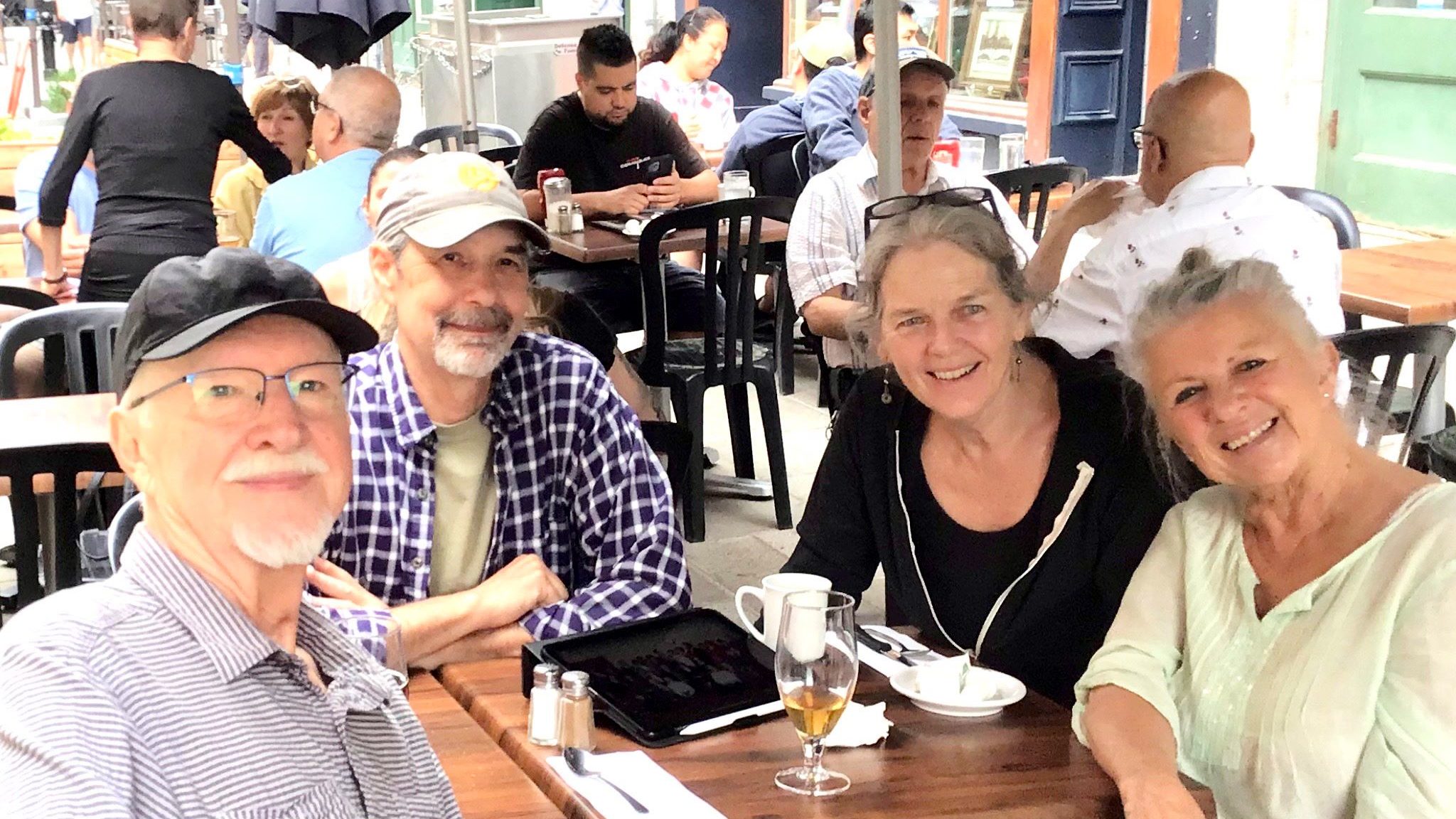
Mon arrière-grand-père Achille Fréchette a amené sa femme et ses 9 enfants de Tingwick, au Québec, dans le nord du New Hampshire pendant la dépression car il n’y avait pas d’emplois dans l’est du Canada, tandis que les usines du New Hampshire avaient des emplois et embauchaient. Alors que mon grand-père Félix et tous ses frères et sœurs sauf un sont restés en Nouvelle-Angleterre, son frère Orad est revenu au Québec et s’est installé dans la ville de Chicoutimi. Pendant mon enfance, j’ai souvent entendu mon grand-père et mon père parler d’Orad, que je n’ai jamais rencontré, et à un moment donné, j’ai appris qu’Orad avait une fille nommée Suzanne qui était juste un peu plus âgée que moi.
Look at any map of Ontario, and there’s a curious island at the north end of Lake Huron. It’s Manitoulin Island and we’d never heard of it. And it has a dotted line attached to its southern shore. Ferry! This needed some research.
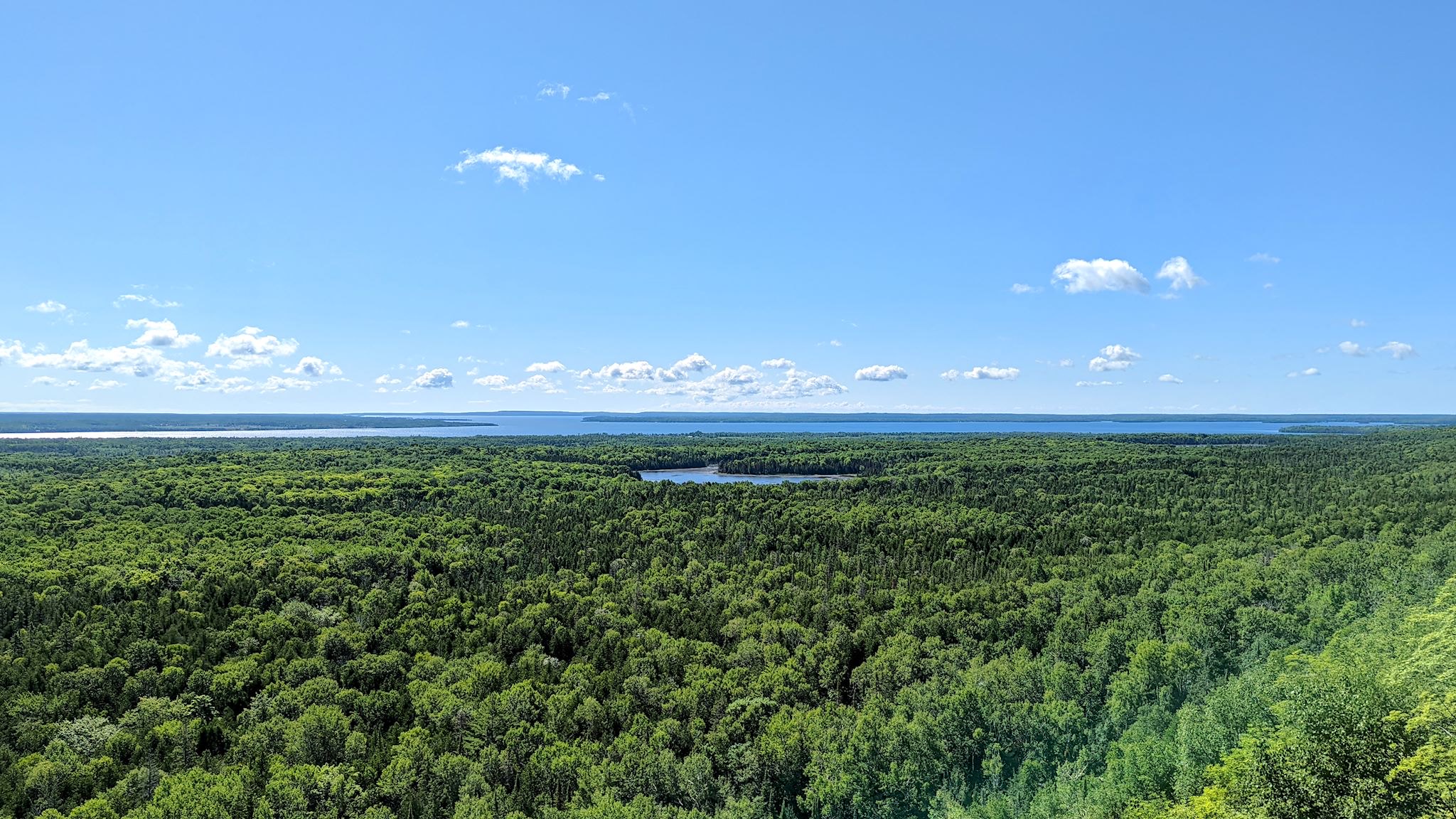
It turns out Manitoulin Island is the largest island in a freshwater lake in the world. Interestingly, Manitou Lake (in the photo above) is the largest freshwater lake on an island in the world. The population (13,000) is a healthy mix of people of indigenous and European descent. Politically and culturally, the island is in North Ontario. Geologically – the Niagara Escarpment runs through it – it’s an extension of South Ontario. There are only 2 ways on or off the island – a swing bridge from Little Current to the mainland, and a ferry to and from the Bruce Peninsula that runs only in the summer. It sounded to us like a unique place worthy of exploration…
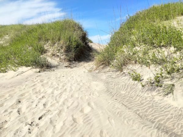
We’d never been to the Outer Banks. What are these things? What’s out there? They are a chain of long, thin islands shielding the coast of North Carolina, although they’re not normal islands. They’re more like sand dunes, evolving by the minute from the wind, tides and waves, and slowly shifting the Outer Banks south and west over time. They’re long, over 100 miles (the inlets between the islands close up and form anew in different places with time and the storms), and quite narrow, from a few hundred feet to 3 miles wide, and they are low, with an average elevation of 12 feet above sea level.
Vancouver Island is about 1.5 times the size of Vermont in both area and population, with a comparable amount of geographic diversity. Remembering that we’ve chuckled about travelers planning to visit Vermont in 2 days (‘It’s so small!’), we allotted 10 days to explore Vancouver Island and found it wasn’t quite enough – there’s so much there!
The coasts, the ferries, the forests, the farms, orchards and vineyards… The small towns, the city of Victoria… The hiking, kayaking, biking, surfing… (Surfing?) The rainforest with giant cedars, Douglas firs, ferns and moss, the palm trees… (Palm trees?) Here’s more on the lower part of the island…
With a week or two left for exploring before we need to start heading toward Vermont, we decided to spend some of it on Vancouver Island. We got passage on the MV Coastal Renaissance, one of the largest double-ended ferries in the world and radically different from the 6- to 10-vehicle river ferries we boarded while in the Yukon and Northwest Territories. The height of our camper required that we board the truck deck – 6 lanes wide and seemingly a mile long, filled with trucks and other RVs. On an absolutely gorgeous day, we spent the 2-hour trip on the immense upper deck, trekking back and forth and all around as we took in the sights. From the departure dock at Horseshoe Bay, we could look back on the Sea to Sky Highway hanging off the mountain, splotchy with low clouds. Islands in all directions looked like mountains popping out of the ocean, many dotted with small communities along the shores. We looked back on the city of Vancouver, beautifully situated on the ocean, as more mountains came into sight on the horizon – Vancouver Island.
We debarked in Nanaimo, a pretty city on the east shore of the island. Without a plan, we headed north toward the most remote part of the island. Little did we know, the moon was soon to enter the seventh house, and Jupiter would align with Mars, and we were about to get a unique Vancouver Island experience…
You might be thinking by now that we have a perverse infatuation with dead-end roads to out-of-the-way places. Ok, maybe we do a little – and we’ve been to some outrageously cool end-of-the-road spots – and sometimes there’s more to it than that. While at the Folk on the Rocks Festival last year in Yellowknife, we chatted with some folks living there who came originally from Inuvik. They loved the town, and they also told us that the Mackenzie Delta was the most beautiful place on earth. That was certainly enough for us to put it on our list.
So, who’s ready to hear about another 1600-km (1000-mile) road trip on a mostly great dirt road that totally rocked? It’s actually quite different from the last one. True, Alaska’s Dalton Highway – which we drove in June – and the Yukon/Northwest Territories’ Dempster Highway both provide overland access north of the Arctic Circle. They both involve about 1600 km (1000 mi) of unpaved roads through the wilderness with spectacular wildlife, and they are both the northernmost roads in their respective countries as well as the first (Dalton) and second (Dempster) northernmost roads in North America. They’re both legendary for broken windshields, flat tires and, oh, yes, you could die. Other than that, everything was different.
The window is early September. That’s when it’s usually safe to head out of Alaska – see some fall foliage colors yet before snow in the mountains of Canada create challenges for those headed to the lower 48. So, we’re watching the calendar a bit more closely than we have. And we’ve got one more corner of Alaska to explore.
The plan: spend 2 days in greater Anchorage on major provisioning, scheduled maintenance for the truck, no blog posts (who wants to hear about doing laundry?), no pix, head north. Plans never work out.
When I first looked at a map of the Kenai Peninsula, there was a small dot on the northern edge labelled Hope. I looked a bit more closely and, sure enough, there was a road to it. Ok, we have to go there. Hope there’s something to see…
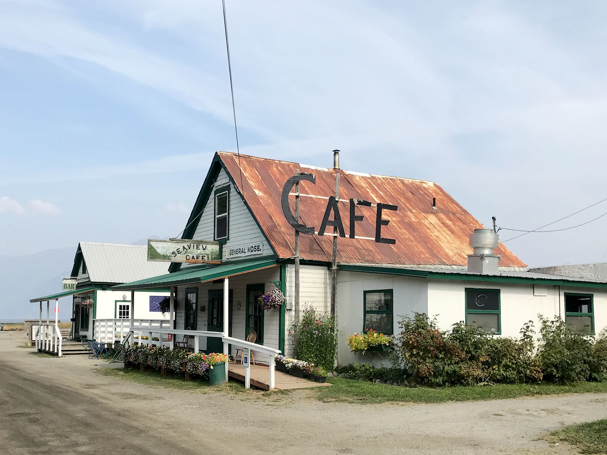
A few weeks ago at Salmonfest, we of course saw a lot of people wearing T-shirts. About 50% of the festival-goers understandably were wearing their t-shirts from prior Salmonfests, but the next largest group had shirts from the Seaview Cafe & Bar and Campground in Hope, AK. Hmm… We asked around and yes, downtown Hope has a cafe and bar with live music daily, there’s a campground, and yes, we should check it out. Then Duncan highly encouraged a visit to Hope. Good advice!
Seward is a small, picturesque city on Resurrection Bay at the base of Marathon Mountain at yet another Alaskan road’s end. It’s totally surrounded by tall, steep mountains wearing a shawl of glaciers that make up Kenai Fjords National Park. Seward is predominantly a commercial fishing town, also a destination and embarkation point for tourists in the summer. It’s the northern terminus of many cruise ship lines as well as the southern terminus (aka Mile 0) of the Seward Highway to Anchorage, the Alaska Railroad to Fairbanks, and the original Iditarod dog sled trail to Nome. Heavily damaged by the 1964 earthquake, the rail yards and fish processing plants directly on the bay were not rebuilt where they’d stood; the land was instead converted to parks with hundreds of campsites, enabling travelers to soak in the views and get to the mountains.