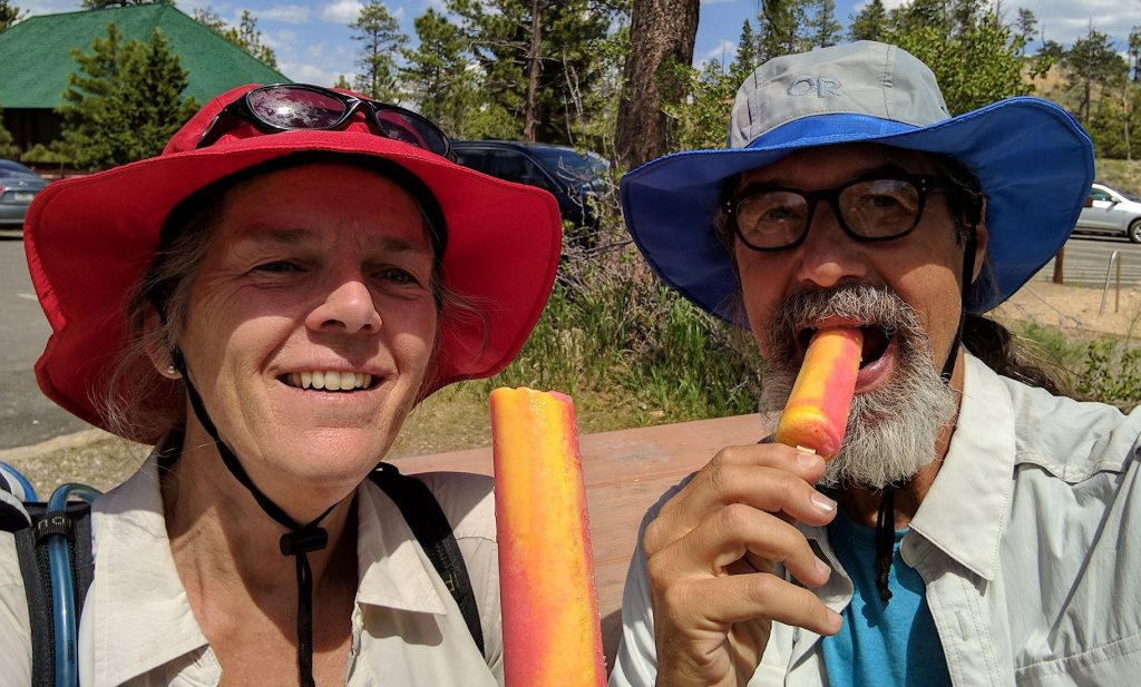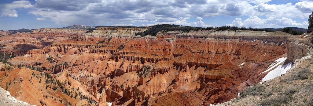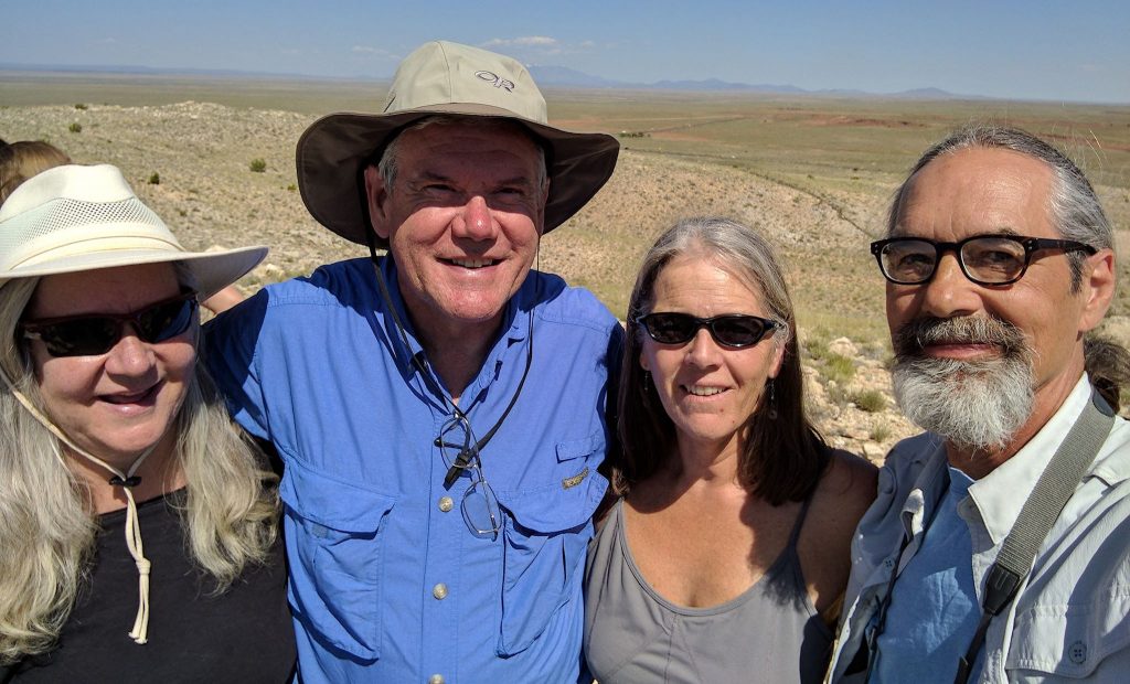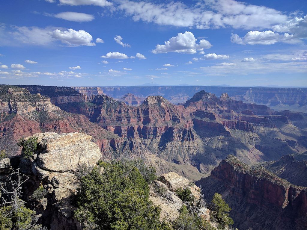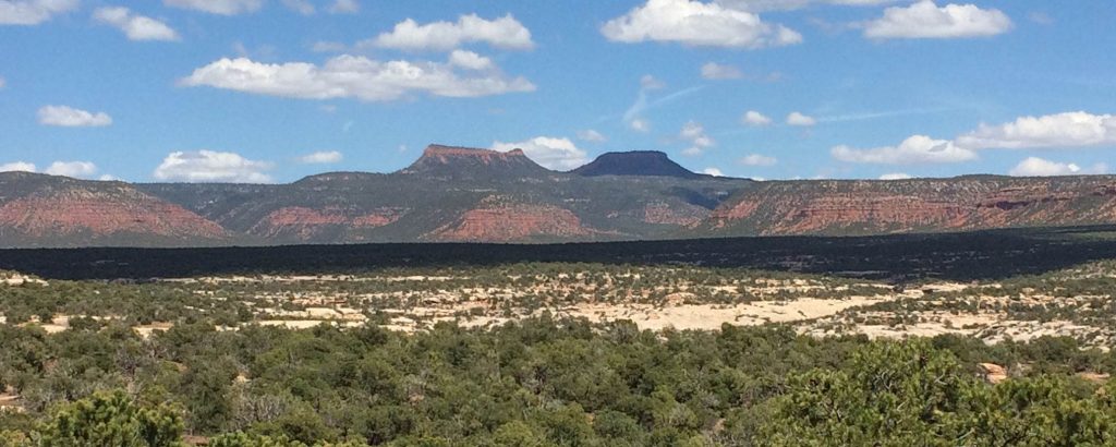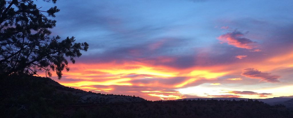
Several people remarked that driving Utah State Route 12 from Bryce to Torrey (a small town near the Capitol Reef NP) was beautiful. It was also the last remaining ‘space between’ Utah’s National Parks we’d yet to visit. So we set a course for SR-12 north, not knowing much about the area and planning to explore a bit over 4 days. Wow! It’s the top spot for a return visit on our next trip to Utah.
Continue reading “Utah State Route 12”
Bryce Canyon National Park
It was clear early on that there would be no time to visit all five of Utah’s National Parks before our visit to Arizona. No problem – we can stop at four on the way south, and the hit the last one as we head back north. Ah, but which one? Fearing increasing temperatures in June, we opted for the one at the highest elevation, and we’re very happy we did. Bryce is nice!
Cedar Breaks
As we headed south to Arizona from Lake Powell, our friends headed north to explore more of southern Utah. They called to tell us about Cedar Breaks National Monument, which they described as one of the most beautiful places they’ve seen in the area. That was enough of an endorsement for us to set our course from Sedona. We’re glad we did!
Sedona
We met Malcolm and Judy while riding tandem bicycles just a few weeks before we got married, so this friendship goes back 31 years. They recently retired to Sedona, Arizona where they’re exploring their new southwestern playground and remodeling their new home. From Lake Powell, we were so close that not visiting was not an option. Delightful visit!
The Grand Canyon’s North Rim
From Lake Powell we headed south to meet friends in Sedona for the weekend, so we had 2 days in which to wander, chill and move ourselves 4 hours on down the road. Hey Doug, did you know the North Rim of the Grand Canyon is only 2 hours from here? Squirrel!
Lake Powell
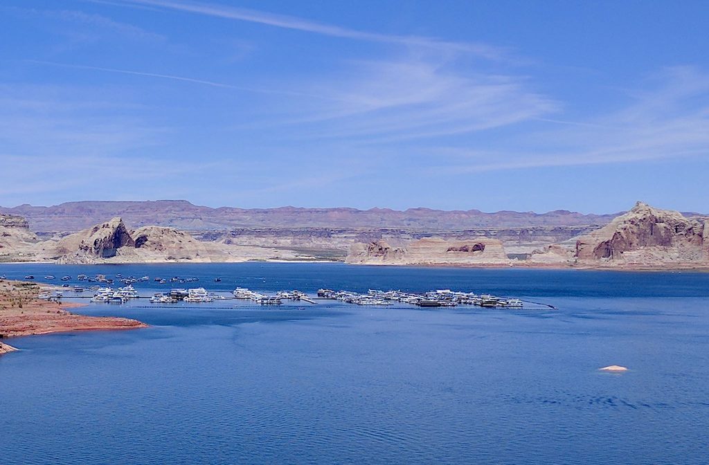
Just when you think you’ve had enough of red rock photos, we’re here for you! We’re off to the other end of Lake Powell (recall our first encounter with the lake was 200 miles north in Hite). Although the reservoir level remains relatively low, there’s plenty of lake left for the marinas near Page, Arizona to flourish.
Zion National Park
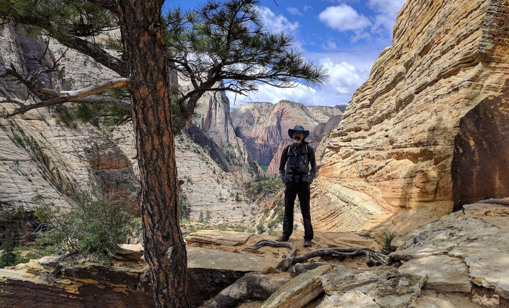
Zion (pronounced ‘ZY-in’ by locals, not ‘ZY-on’) National Park is the most superlative of the National Parks we visited so far. It has the tallest and most dramatic cliffs, soaring 2,500 feet from the Zion Canyon floor. The most innocently named Virgin River continues to flow through the canyon years (ok, millions…) after carving those cliffs. Zion has the largest number of scenic roads with four providing views into the park’s most beautiful areas. The main road through the Zion Canyon features the largest fleet of tandem buses we’ve seen. Zion has the greatest number of elated day hikers anywhere (despite a limited number of day hikes available within the canyon).
Canyonlands National Park, Part 2 – Needles
Our friend Kat, who works for the National Park Service, told us that she believes Squaw Flats Campground in the Needles District of Canyonlands NP is the most beautiful campground. Apparently, others think so too – it’s typically booked solid 6 months in advance. As non-planners, advance reservations don’t work too well for us, but we’re becoming skilled at snagging cancellations. We scored big! While waiting for our site to open up we got to explore an unplanned, interesting loop back from Capitol Reef – I called it the ‘space between‘ – then we were able to spend a weekend at Squaw Flats. And we agree with Kat – best campground views yet!
Continue reading “Canyonlands National Park, Part 2 – Needles”
The space between
One of our goals was to explore the space between – between the National Parks. Toward that end, we stopped by a Bureau of Land Management (BLM) office and made one ranger’s day. We asked about maps, roads and campsites in the area between the NPs, mostly managed by the BLM. She was beaming! She went on to tell us all of her favorite places, potential road closures, and where campsites are plentiful or scarce.
Capitol Reef National Park
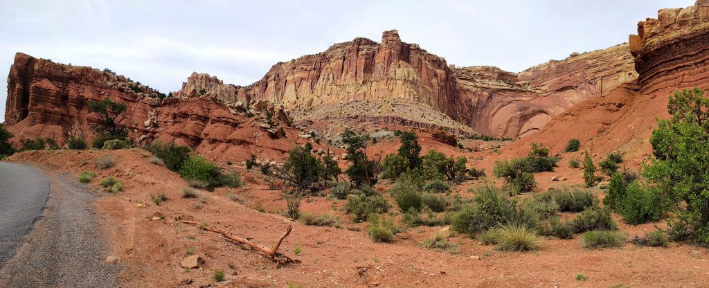
Capitol Reef National Park is the most remote of the Southern Utah parks. Unique geological movements created a 100-mile wrinkle in the earth’s surface the eventually eroded into an angled reef surrounded by various shapes, sizes and colors of crazy rock formations. The unique movements also enabled the Fremont River to run year-round, creating the basis for settlement. The soil, climate and isolation were perfect for fruit orchards. Fruita, the remains of the historical town within Capitol Reef, is literally and figuratively an oasis in the desert.