Manitoulin Island

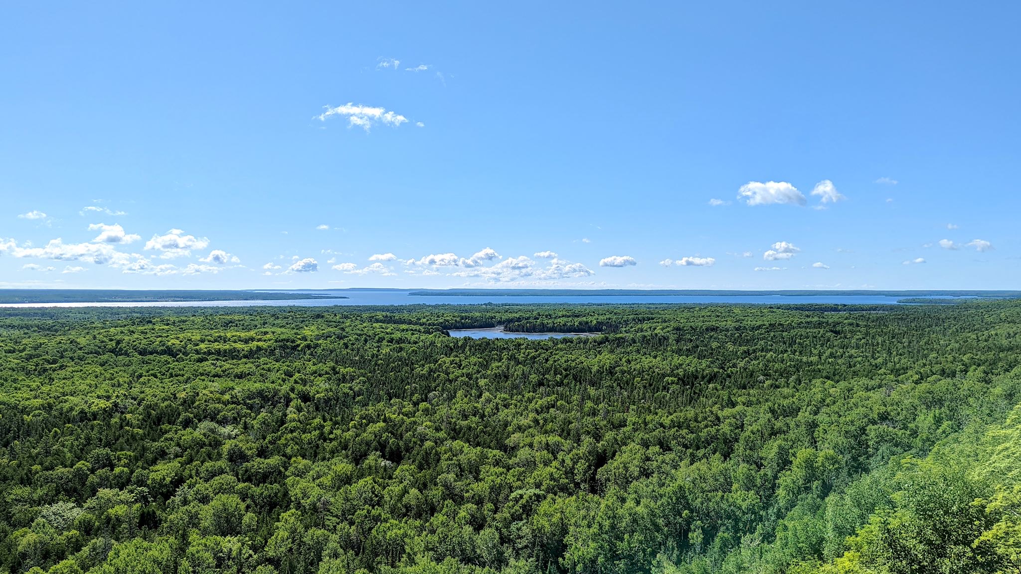
Lake Manitou from the Cup & Saucer cliffs

Look at any map of Ontario, and there’s a curious island at the north end of Lake Huron. It’s Manitoulin Island and we’d never heard of it. And it has a dotted line attached to its southern shore. Ferry! This needed some research.

It turns out Manitoulin Island is the largest island in a freshwater lake in the world. Interestingly, Manitou Lake (in the photo above) is the largest freshwater lake on an island in the world. The population (13,000) is a healthy mix of people of indigenous and European descent. Politically and culturally, the island is in North Ontario. Geologically – the Niagara Escarpment runs through it – it’s an extension of South Ontario. There are only 2 ways on or off the island – a swing bridge from Little Current to the mainland, and a ferry to and from the Bruce Peninsula that runs only in the summer. It sounded to us like a unique place worthy of exploration…

Continue reading “Manitoulin Island”

SW Ontario, part 1 – South and West

We spent some quality time exploring Ontario in 2018. We headed east through North Ontario in May, and returned via South Ontario in October. The difference between the two is striking. North Ontario is nearly 1 million square kilometers of arboreal forest and many, many lakes on the rocky Canadian Shield. With <1 person per square kilometer, there are more moose than people. South Ontario is just under 100,000 square kilometers of farms, wineries and orchards with 5 big lakes, 3 of them great – Erie, Ontario and Huron. Canada’s largest city, Toronto, and the capital of Canada, Ottawa (on the northern edge of South Ontario), drive the population density to 120 people per square kilometer. The dividing line is the nearly 10,000 square kilometer Algonquin Provincial Park, home to 12 million* beavers.

There was one area of Ontario we had yet to visit – Southwest Ontario. This is an area within South Ontario that touches Lake Ontario and Lake Huron. Half of this area is north of our 44° home latitude, half is south.

Continue reading “SW Ontario, part 1 – South and West”

Elmore, VT

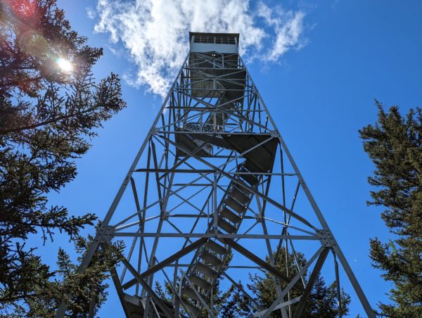
Elmore Mountain fire tower

Our good friends Patti and Milo, whom we first met years ago out on the ski hill, are also RVer’s with a sense of adventure and a penchant for hiking and biking. Over dinner one night at the end of the ski season, we mentioned that we were thinking of exploring places closer to home in our RV this summer, and that, ironically, we’d never spent a night in our RV in Vermont except in our own driveway. That conversation evolved into a plan for a meet up for the four of us at Elmore State Park, just a bit north of where we all live in the Mad River Valley.

Continue reading “Elmore, VT”

Stump Sprouts v. 35

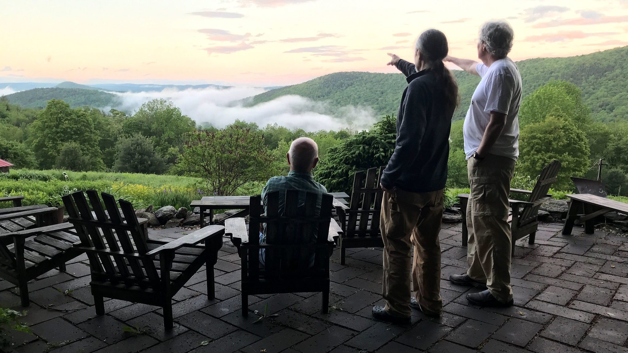
Pat, Doug, Chris on the patio

Since 1987, with a scant handful of exceptions, a wonderful group of friends have gathered on Memorial Day weekend for a same-time-next-year event at Stump Sprouts in the Berkshires. Though we’re charter members of this group, due to our summer travels (up to 2019) and COVID (2020-2021), we’ve missed this annual rendezvous for the past few years. Since we’re in New England for this spring and summer, we were filled with joy when we learned the MemDay SS Weekend was on this year, and there was room for us to rejoin!

Continue reading “Stump Sprouts v. 35”

Skyline, revisited

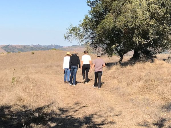
Rebeka, Jayne, Monika, Augie

We mentioned in the previous post that we had rearranged our itinerary to include a stop near San Francisco, which we’d talk about later. That will be this post. There is also a post titled ‘Skyline‘ that I wrote during our trip two years ago that provides background that is relevant to this one.

In the Skyline post, I talked about my Aunt Ami and my Uncle Dick. A few weeks ago, as we were driving off the ferry to Nanaimo on Vancouver Island, the phone rang. Ami was calling to tell us that Dick had passed away.

Continue reading “Skyline, revisited”

Vancouver Island, part 2 – west, interior, lower

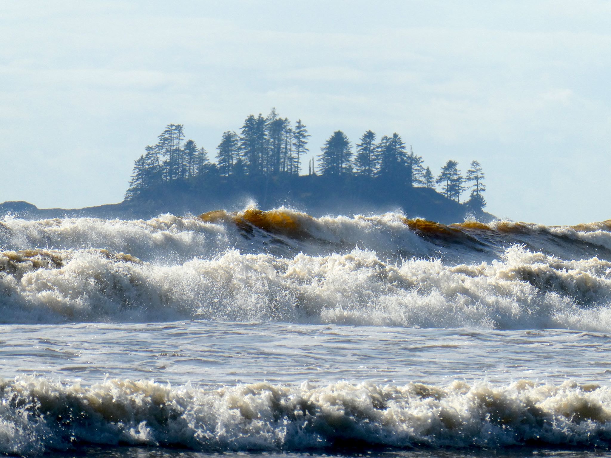
Waves coming into Long Beach

Vancouver Island is about 1.5 times the size of Vermont in both area and population, with a comparable amount of geographic diversity. Remembering that we’ve chuckled about travelers planning to visit Vermont in 2 days (‘It’s so small!’), we allotted 10 days to explore Vancouver Island and found it wasn’t quite enough – there’s so much there!

The coasts, the ferries, the forests, the farms, orchards and vineyards… The small towns, the city of Victoria… The hiking, kayaking, biking, surfing… (Surfing?) The rainforest with giant cedars, Douglas firs, ferns and moss, the palm trees… (Palm trees?) Here’s more on the lower part of the island…

Continue reading “Vancouver Island, part 2 – west, interior, lower”

Vancouver Island, part 1 – north

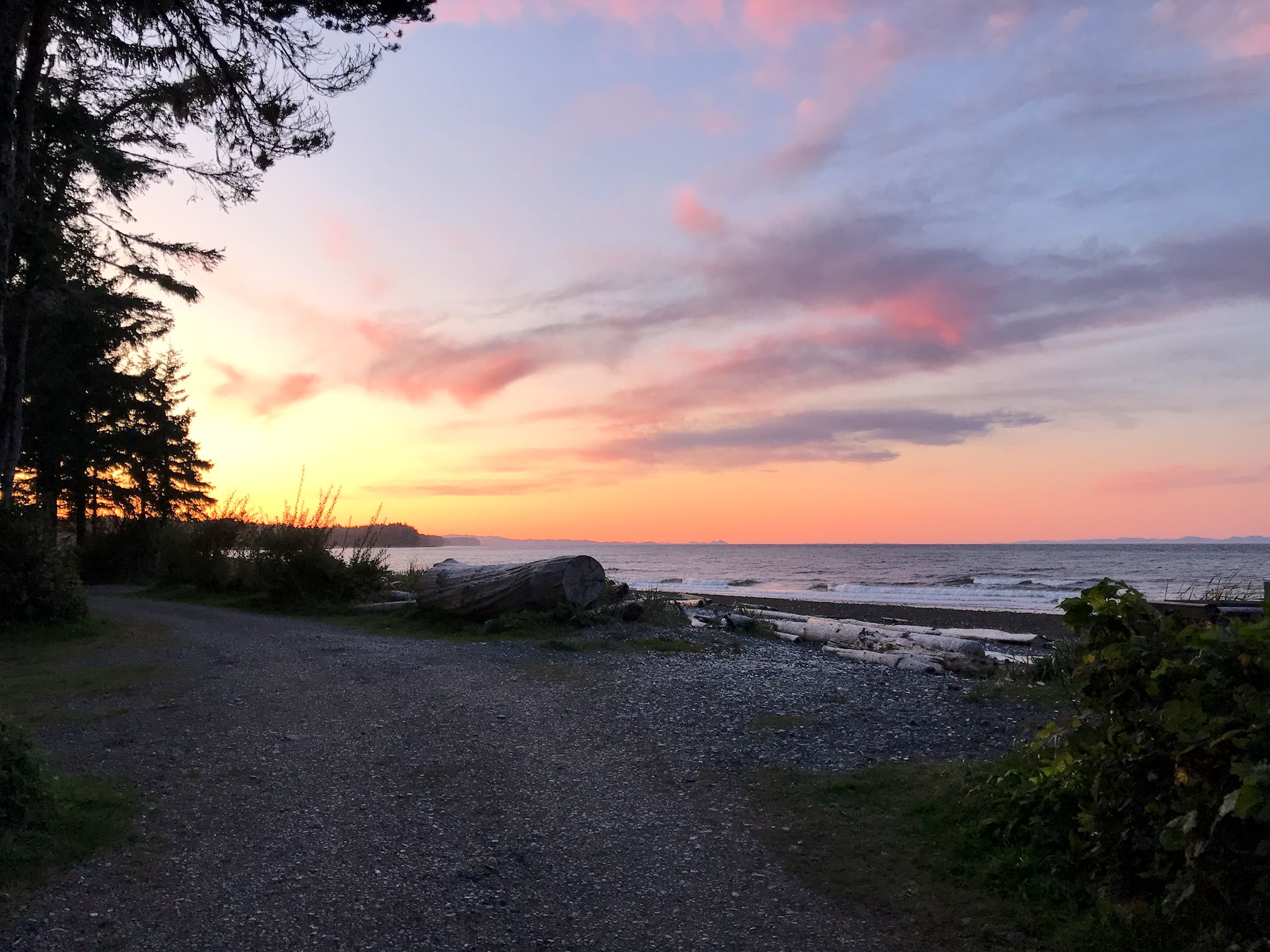
Sunset over Queen Charlotte Strait

With a week or two left for exploring before we need to start heading toward Vermont, we decided to spend some of it on Vancouver Island. We got passage on the MV Coastal Renaissance, one of the largest double-ended ferries in the world and radically different from the 6- to 10-vehicle river ferries we boarded while in the Yukon and Northwest Territories. The height of our camper required that we board the truck deck – 6 lanes wide and seemingly a mile long, filled with trucks and other RVs. On an absolutely gorgeous day, we spent the 2-hour trip on the immense upper deck, trekking back and forth and all around as we took in the sights. From the departure dock at Horseshoe Bay, we could look back on the Sea to Sky Highway hanging off the mountain, splotchy with low clouds. Islands in all directions looked like mountains popping out of the ocean, many dotted with small communities along the shores. We looked back on the city of Vancouver, beautifully situated on the ocean, as more mountains came into sight on the horizon – Vancouver Island.

We debarked in Nanaimo, a pretty city on the east shore of the island. Without a plan, we headed north toward the most remote part of the island. Little did we know, the moon was soon to enter the seventh house, and Jupiter would align with Mars, and we were about to get a unique Vancouver Island experience…

Continue reading “Vancouver Island, part 1 – north”

The Sea to Sky Highway

Welcome to Whistler!

South of Williams Lake, we needed to choose among four routes heading further south through the mountains of southern BC. Though all four promised amazing views and mountains and crazy roads and funky towns, we could explore only one. We’re at that time in this year’s trip where we need to think about weather and getting back to Vermont before it snows (too much…)

Based purely on sentimental reasons, we decided on the Sea to Sky Highway. We’d drive it just for the name! As hard core skiers, it would be enough that this highway passes by Whistler-Blackcomb, the largest ski resort in North America, rated one of the top ski areas consistently since the 1990’s. It was also the site of one of the infamous annual ski trips of our early adulthood with friends Pat, Geoff, Harry and Karen. That was in 1997…

Continue reading “The Sea to Sky Highway”

The Cassiar and Yellowhead Highways

Cassiar Highway south…

There are only two roads through British Columbia that will get you to or from Alaska – the Alaska Highway and the Cassiar/Yellowhead Highways. We came north on the first one, so we headed south on the Cassiar.

The Cassiar Highway is a relatively remote, 725-km (450-mile), paved, narrow, two-lane road through the Cassiar Mountains connecting Watson Lake (pop 1600) to Kitwanga (pop 400). The road mostly follows the river valleys and we were always within view of lakes and mountains of various shapes and sizes. Still, there were hints everywhere that there was more we weren’t seeing… occasional, brief glimpses between the trees of high, snow-covered peaks and avalanche signs everywhere. Also, heli-ski operations in settlements like Bell II (pop a handful plus seasonals) and a brochure for Provincial Parks with glorious mountain photos and instructions for how to access them, by air. Hmmmm…

Nonetheless, we found the drive to be quite pretty, imagined what we couldn’t see from where we were, and enjoyed a few remote campsites near lakes and rivers with great mountain views.

And then, there were the surprises…

Continue reading “The Cassiar and Yellowhead Highways”