Blanc-Sablon, QC

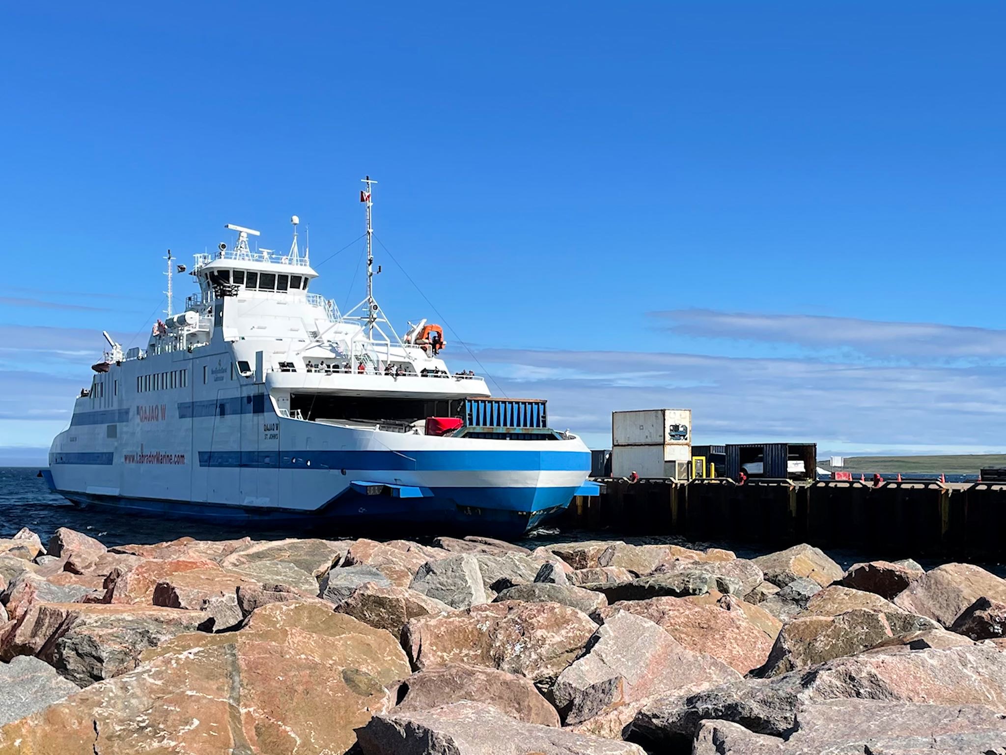
The Qajaq W

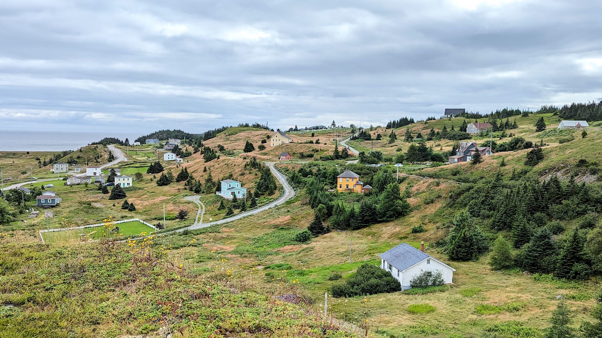
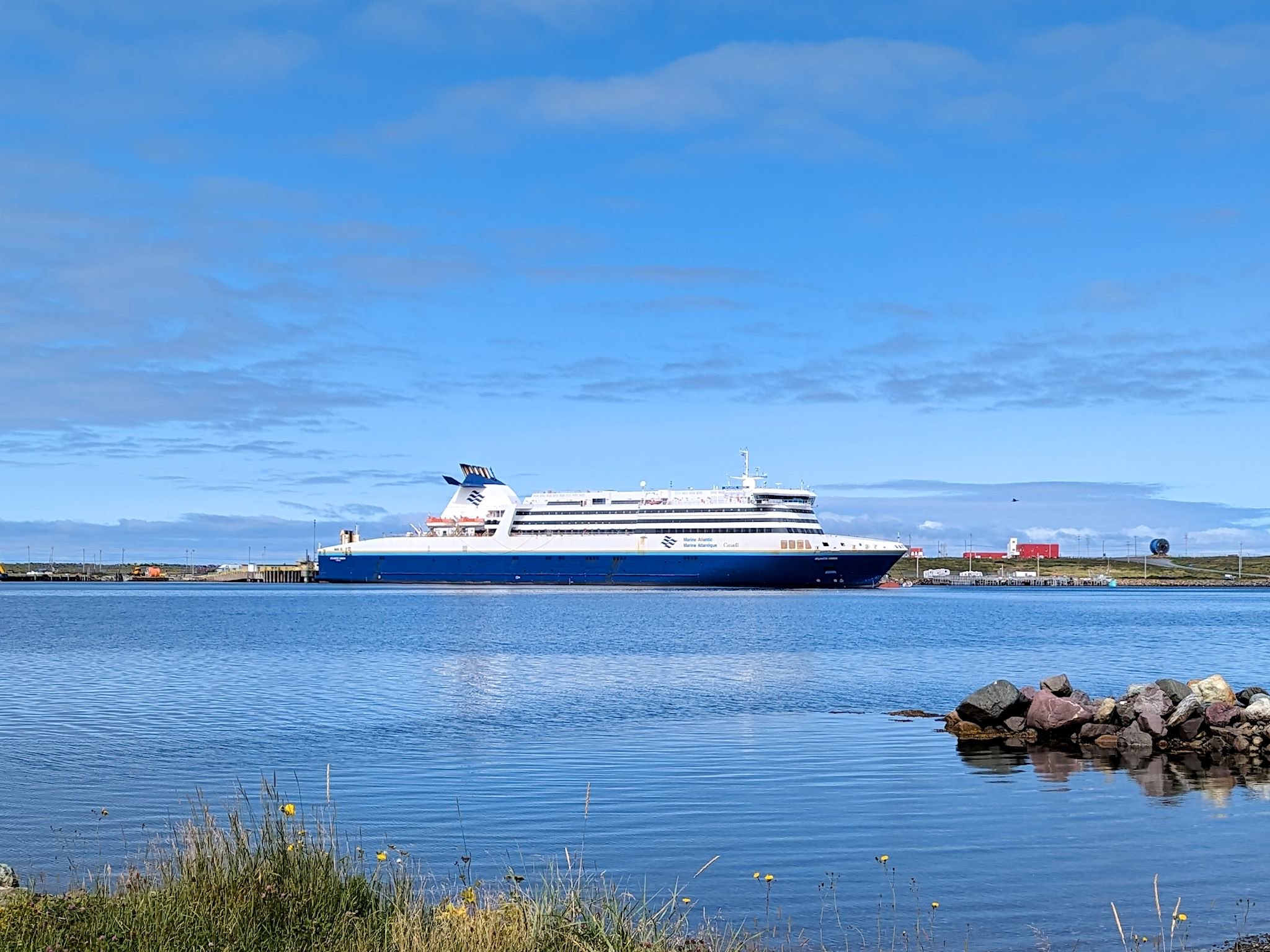
We are not keen on reservations, as a general rule. Reservations force us to arrive somewhere at a certain day or time – what if we find something interesting along the way there!?! So, even though we didn’t make reservations on the ferry making the crossing from Blanc-Sablon, QC (2 km/1.2 miles from the Labrador border) to St Barbe, Newfoundland, finding that there was no room for another RV on the day we arrived planning to cross was not a cause for distress. To the contrary, yay! We have an extra day to explore this tiny corner of Quebec.

Continue reading “Blanc-Sablon, QC”

Labrador 510 – Trans-Labrador Highway, part 2

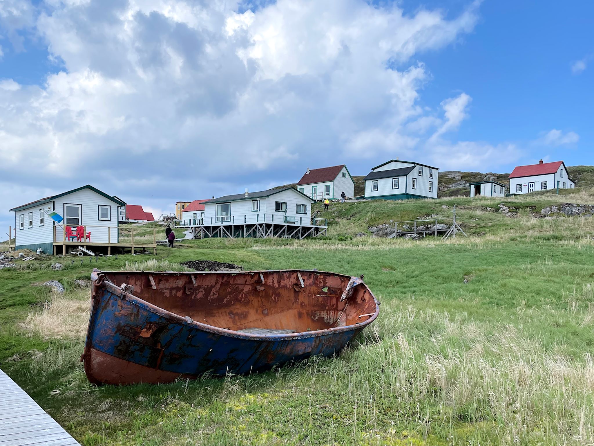
Battle Harbour

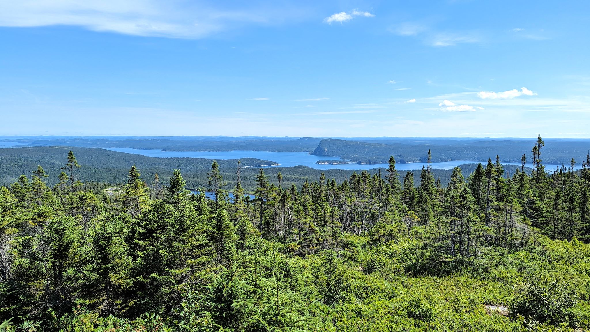
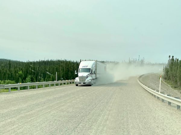
The road to connect the settlements and resources of western and coastal Labrador – the Trans-Labrador Highway – had been in the works since the early 80’s. Dirt roads and walking trails between settlements were widened into gravel roads in sections, then paved as demand and budgets allowed. The last remaining section of gravel was paved in July, 2022 – and the road was complete!

Continue reading “Labrador 510 – Trans-Labrador Highway, part 2”

Labrador 500 – Trans-Labrador Highway, part 1

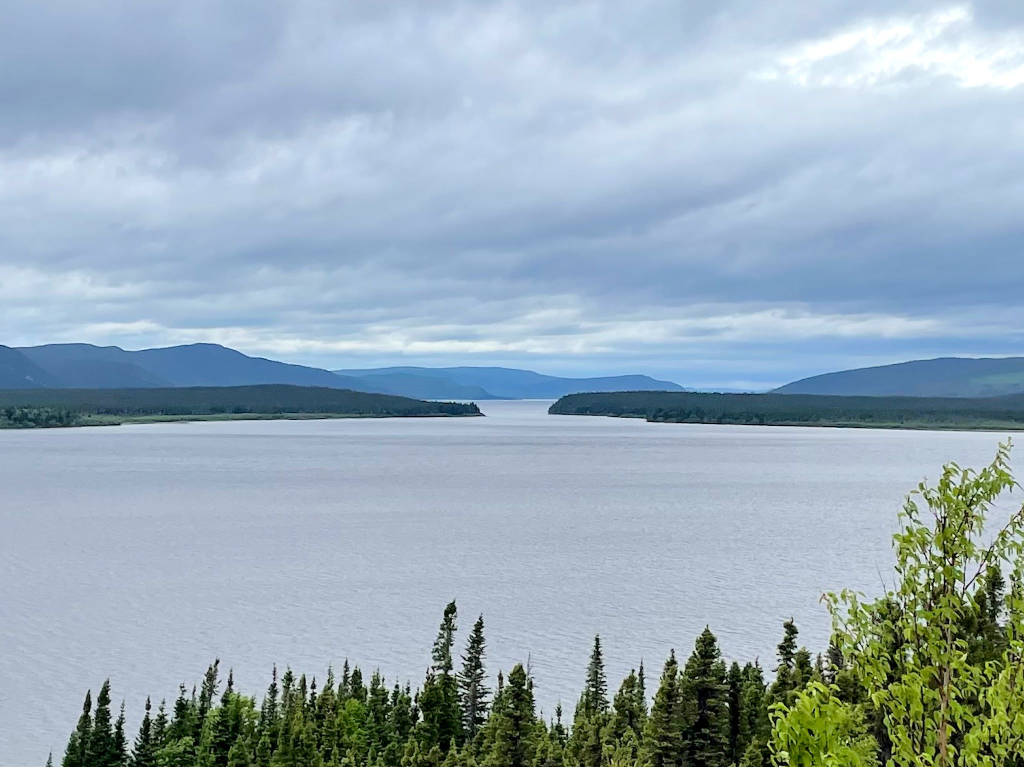
Grand Lake from Sunday Hill, North West River, NL

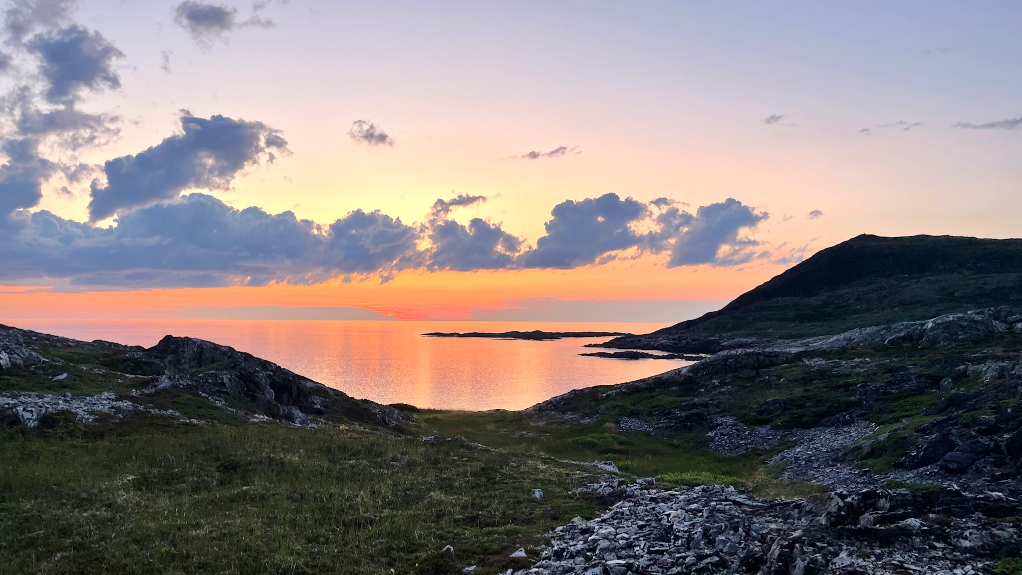
The history of Newfoundland and Labrador is long and colorful. Here’s the super condensed version…. The earliest known inhabitants were Inuit (hunters of sub-arctic sea mammals, like whales), Innu (caribou hunters) and Mi’kmaq (seafood harvesters in the summer and forest hunters in the winter). The earliest European settlers are thought to have been Vikings, just after 1000 AD. Starting in the early 15oo’s, explorers from France, Spain, Portugal, Ireland, and England began to visit. Eventually, these folks came to be in conflict with each other and the original inhabitants in their efforts to claim portions of the newly found land in order to control resources. Perhaps the most immediately obvious of these resources was an insane abundance of great fishing. Over the centuries since, additional resources of interest have been identified all over this vast area and have included furs, forests, minerals (iron ore), and hydropower.

Continue reading “Labrador 500 – Trans-Labrador Highway, part 1”

Quebec 389

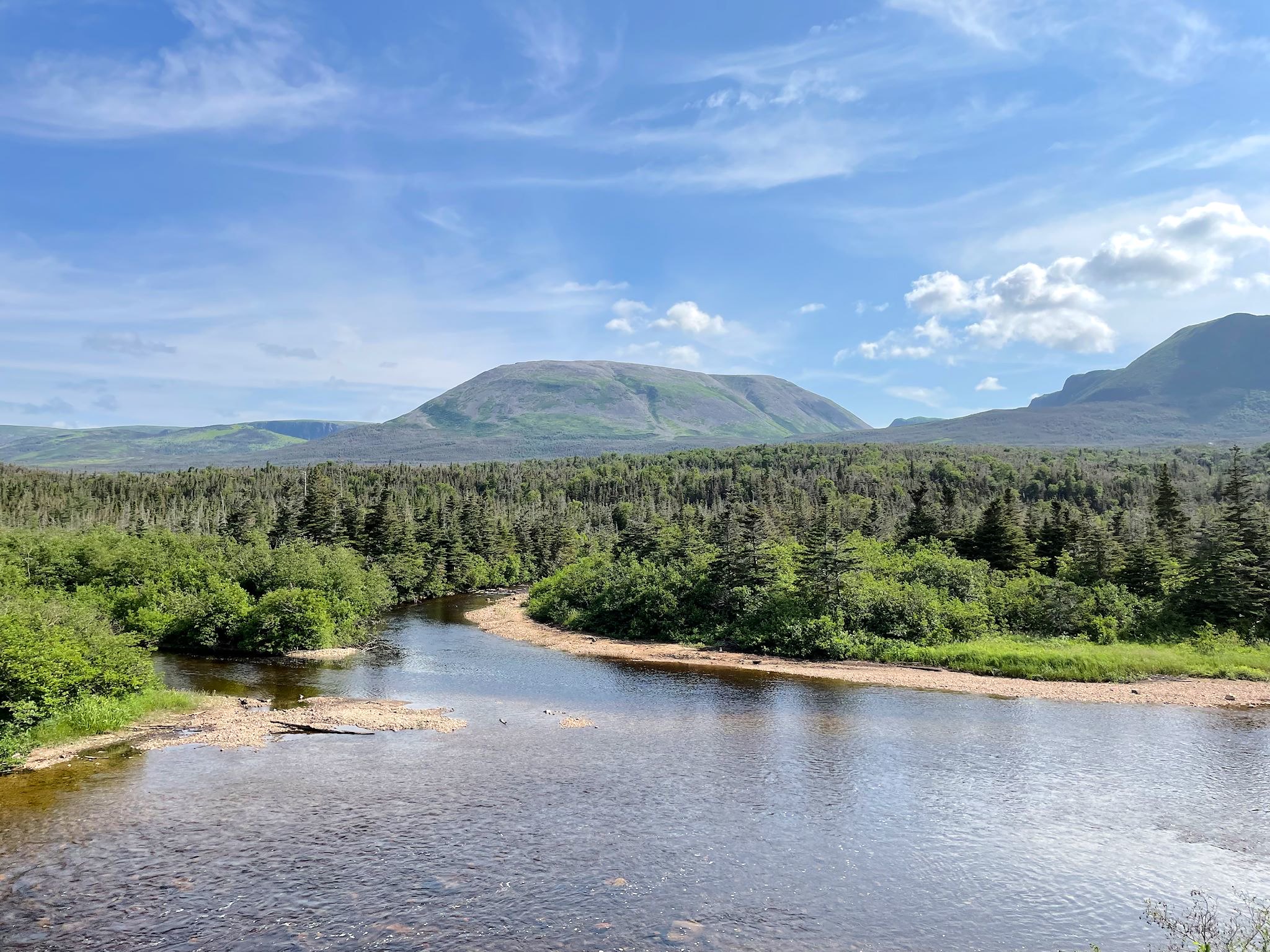
Quebec 389 is described as dangerous by public safety organizations, beautiful by tourism publications, and remote by both. It is unquestionably remote, winding its way through the boreal forest 547 km/340 miles from Baie Comeau on the St Lawrence River, past a series of ‘Manic’ dams owned by Hydro-Quebec (Manic-1 through Manic-5, all named after Lake Manicoualan which they hold back) and multiple open pit mines on the way to Fermont (French for Iron Mountain). There are 2 tiny settlements and 3 fuel stations along the way. There’s cell coverage at the fuel stations. For safety, there are 10 good, old-fashioned telephone booths spread out along the road (more than remain in the entire state of Vermont) for anyone who’s stranded. It’s the only road north from the Côte Nord/North Coast of Quebec and, once connected to the Trans-Labrador Highway, allowed for overland passage to the coast of Labrador. But that’s getting ahead of ourselves.

Continue reading “Quebec 389”

Great Smoky Mountains National Park

Twilight over the Tennessee side of Great Smoky Mountains

Asked which is the most visited National Park in the country, most people would think it must be Yellowstone or Yosemite or some of the other large parks in the west. Nope! Great Smoky Mountains National Park takes the top spot. Its location – within a day’s drive of half the US population – and its incredible beauty attracted 14 million people in 2021. (Zion with 5 million and Yellowstone with 4.9 rounded out the top 3.)

GSMNP is a wide area in the Appalachian Mountains that spans the North Carolina and Tennessee border with a seemingly endless series of forested mountain ridges. The natural vegetation in the area releases organic compounds with a bluish tint that mix with the natural morning fog to create a blue-tinged, smoky appearance – hence the name. The park is well known for its views and waterfalls, its elk herd, and its hiking. Hiking!

Continue reading “Great Smoky Mountains National Park”

New River Gorge National Park

New River Gorge Bridge

When we first decided to travel about in an RV back in 2015, the first thing we did was create a master electronic map where we’d put e-push pins everywhere we wanted to visit. It’s likely no surprise that among the first pins to make it to the map were the National Parks in the US and Canada. About a year ago, I read a NY Times article about the New River Gorge National Park in West Virginia. Hmmm… this isn’t on our map. How’d that happen? It turns out that although the New River has been a protected river (no dams/development) since 1978, it was re-designated as a National Park in 2020. We added a push pin.

Continue reading “New River Gorge National Park”

Manitoulin Island

Lake Manitou from the Cup & Saucer cliffs

Look at any map of Ontario, and there’s a curious island at the north end of Lake Huron. It’s Manitoulin Island and we’d never heard of it. And it has a dotted line attached to its southern shore. Ferry! This needed some research.

It turns out Manitoulin Island is the largest island in a freshwater lake in the world. Interestingly, Manitou Lake (in the photo above) is the largest freshwater lake on an island in the world. The population (13,000) is a healthy mix of people of indigenous and European descent. Politically and culturally, the island is in North Ontario. Geologically – the Niagara Escarpment runs through it – it’s an extension of South Ontario. There are only 2 ways on or off the island – a swing bridge from Little Current to the mainland, and a ferry to and from the Bruce Peninsula that runs only in the summer. It sounded to us like a unique place worthy of exploration…

Continue reading “Manitoulin Island”

SW Ontario, part 1 – South and West

We spent some quality time exploring Ontario in 2018. We headed east through North Ontario in May, and returned via South Ontario in October. The difference between the two is striking. North Ontario is nearly 1 million square kilometers of arboreal forest and many, many lakes on the rocky Canadian Shield. With <1 person per square kilometer, there are more moose than people. South Ontario is just under 100,000 square kilometers of farms, wineries and orchards with 5 big lakes, 3 of them great – Erie, Ontario and Huron. Canada’s largest city, Toronto, and the capital of Canada, Ottawa (on the northern edge of South Ontario), drive the population density to 120 people per square kilometer. The dividing line is the nearly 10,000 square kilometer Algonquin Provincial Park, home to 12 million* beavers.

There was one area of Ontario we had yet to visit – Southwest Ontario. This is an area within South Ontario that touches Lake Ontario and Lake Huron. Half of this area is north of our 44° home latitude, half is south.

Continue reading “SW Ontario, part 1 – South and West”

Elmore, VT

Elmore Mountain fire tower

Our good friends Patti and Milo, whom we first met years ago out on the ski hill, are also RVer’s with a sense of adventure and a penchant for hiking and biking. Over dinner one night at the end of the ski season, we mentioned that we were thinking of exploring places closer to home in our RV this summer, and that, ironically, we’d never spent a night in our RV in Vermont except in our own driveway. That conversation evolved into a plan for a meet up for the four of us at Elmore State Park, just a bit north of where we all live in the Mad River Valley.

Continue reading “Elmore, VT”